


S201 Goiserer Natur Runde


Description:
Bad Goisern: Relaxed immersion into the timber worker's history
The S201 Goiserer Natur Runde runs along paved cycle paths as well as well-maintained forest roads; since timber delivery still...
Bad Goisern: Relaxed immersion into the timber worker's history
The S201 Goiserer Natur Runde runs along paved cycle paths as well as well-maintained forest roads; since timber delivery still takes place in the Weißenbachtal, there can occasionally be trucks during the ride into the valley.
Besides the wonderful nature, the following highlights make this route a defining experience:
Gentle warm-up ride
along the cycle path to Weißenbach
after the first uphill, it flattens out to the historic timber rafting facility Chorinskyklause
there you can discover the Kaiser Jagdstammtisch after a short walk
charming alpine atmosphere passing the Brunntal Alm with a picturesque alpine hut
then a relaxed & crisp climb at the end of which you overlook the entire Weißenbachtal
before enjoying the long descent out to the Weissenbachwirt with a great refreshment opportunity
to relax on the return along the Traunreiterweg, listening to the murmur of the Traun River
Directions:
The Goiserer Natur Runde: A Gravel Bike Adventure through History and Nature
Our journey begins at the picturesque marketplace of Bad Goisern, right by the forestry administration. This is the starting point for an unforgettable gravel bike adventure that takes us through the fascinating history and breathtaking nature of the Salzkammergut.
Starting point: Marketplace Bad Goisern by the forestry administration
When we start our route, we cannot overlook the historical significance of Bad Goisern. The region is strongly shaped by the timber industry, and our journey offers us the opportunity to explore this history more closely. Even the historic building at the marketplace - Neu Wildenstein Castle - where the Inner Salzkammergut forestry operation is located, hints at the importance the timber industry has had and still has in Bad Goisern.
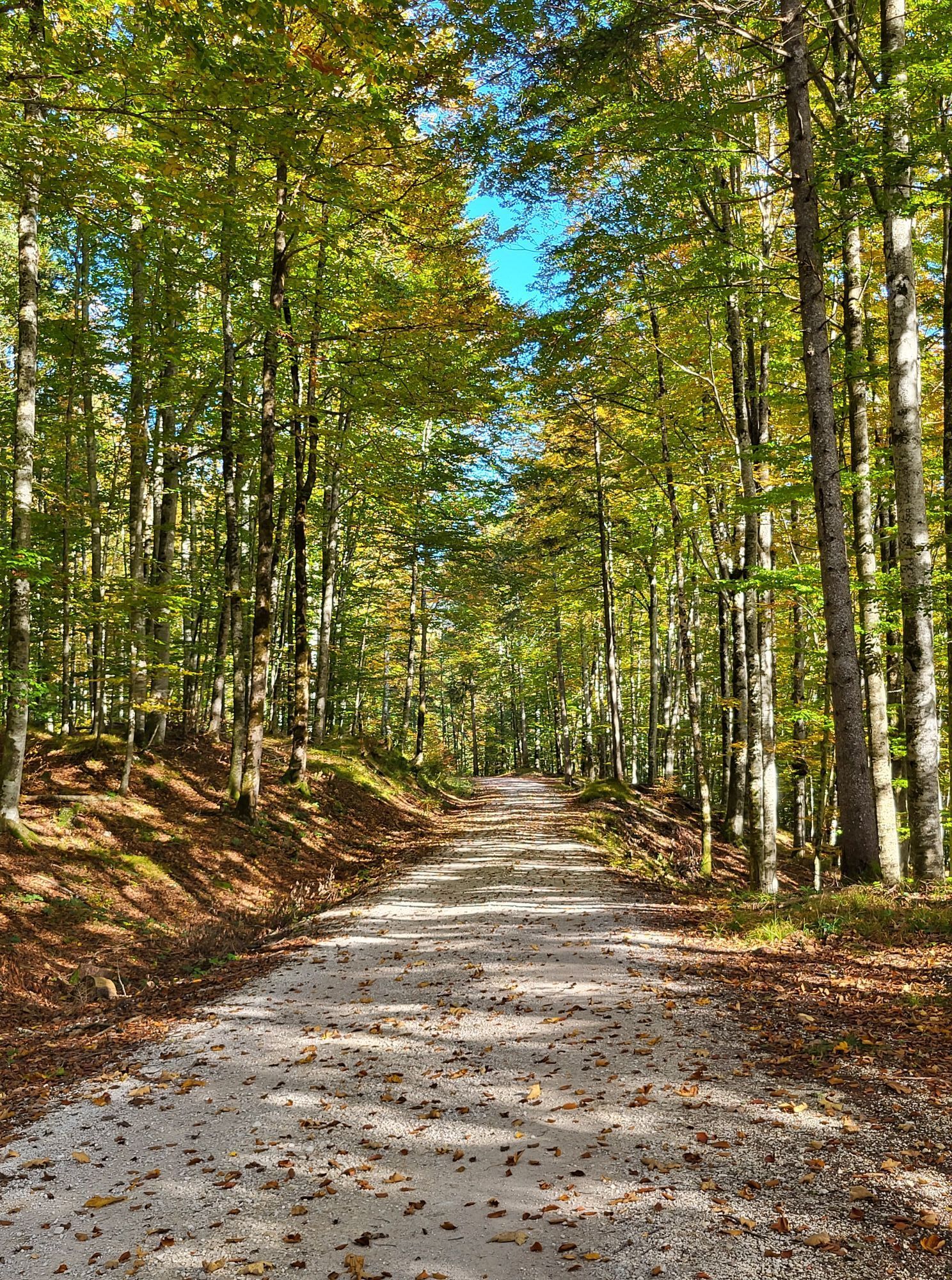
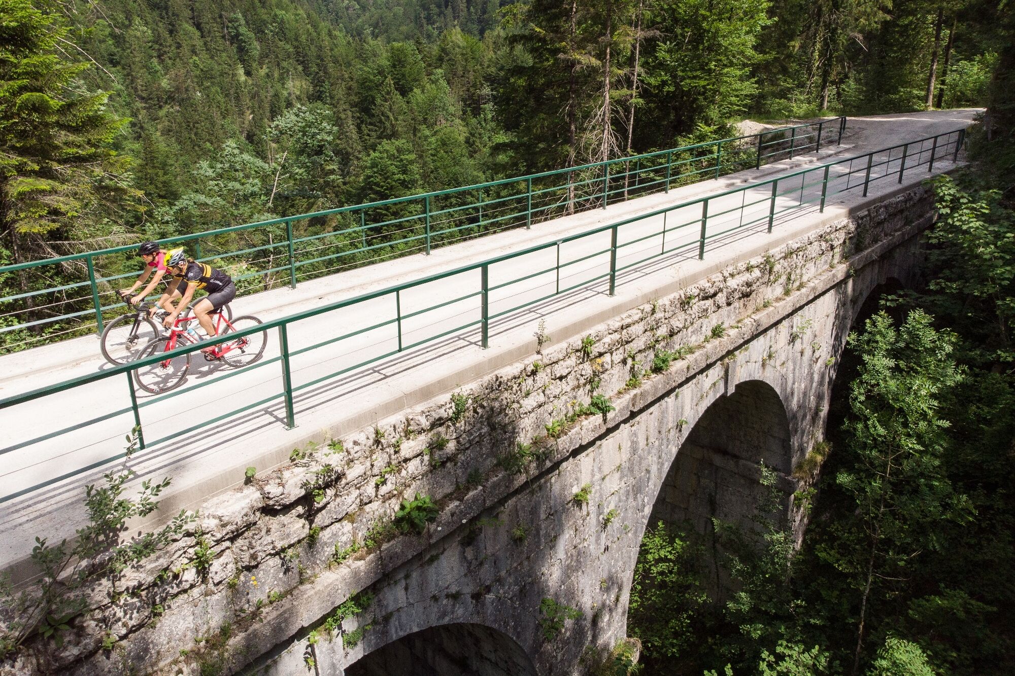
First, we go through Bad Goisern along the Lower Market Street where the stylish townhouses along the way delight us; straight ahead at the authorized dealer we reach Goisern Bikeworld, from where it continues along the cycle path R2 to Weißenbach. We cross the rail tracks and ride towards the Weißenbachtal, where a wonderful loop through a picturesque valley awaits us.
Arriving in Weißenbach past the Weissenbachwirt, we turn left into the Weißenbachtal, an impressive nature reserve. Here we immerse ourselves in the beauty of an alpine forest area. The rugged surrounding mountains and the undisturbed nature provide a unique backdrop. The Weißenbachtal remains an economic area, so there can certainly be truck traffic during the week; however, the forest road is very wide.
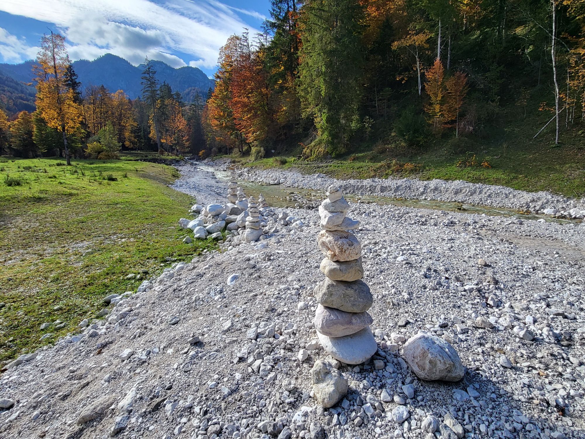
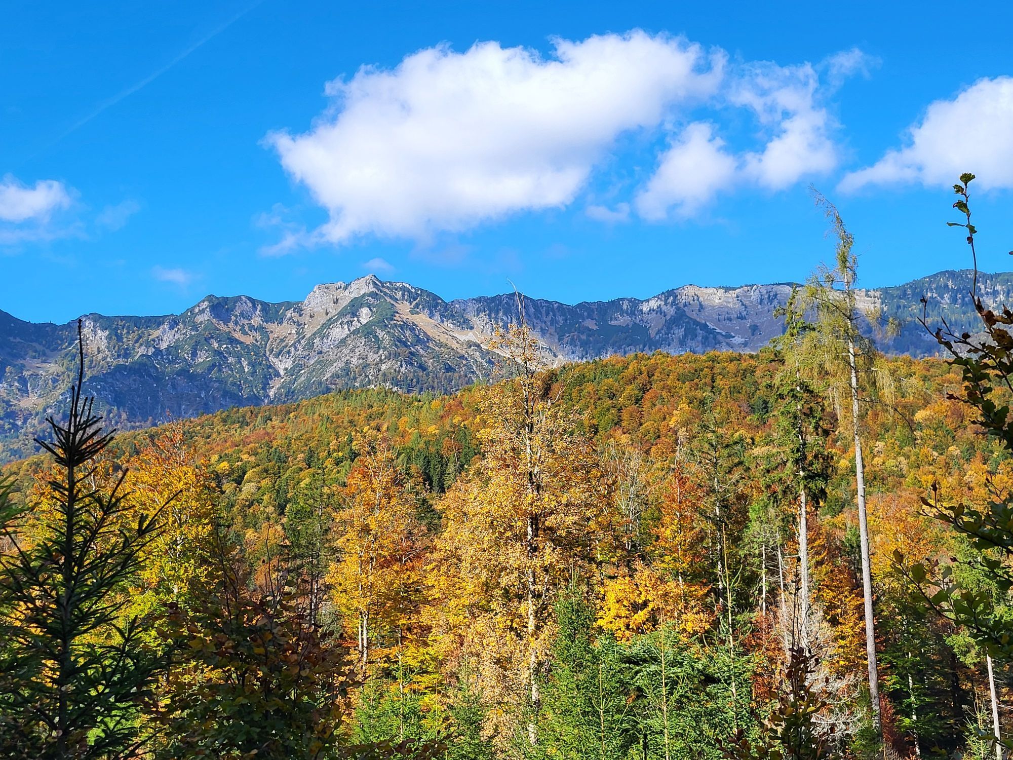
While riding through the Weißenbachtal, we pass the Chorinskyklause, a historic relic that once controlled the river for timber rafting. This impressive testament from past times reminds us of the importance of the timber industry for the region, which brought prosperity but also hard work for the population. Here, we can also make a short detour on foot to the Kaiser Jagdstammtisch; the path there takes less than two minutes. The route then leads us through the picturesque Brunntal Alm, where we can fully enjoy the alpine atmosphere. After a sporty uphill, we are rewarded with a view over the entire valley and an exciting, long descent. We feel the wind in our hair and experience the freedom of gravel biking as we descend back into the village of Weißenbach.
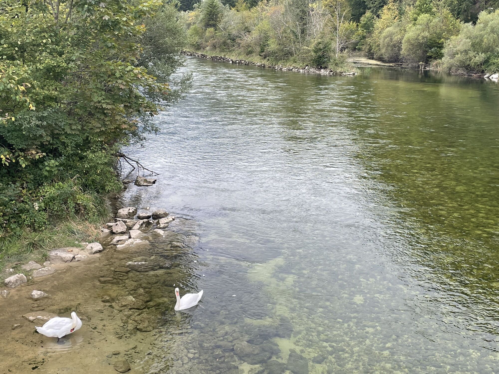
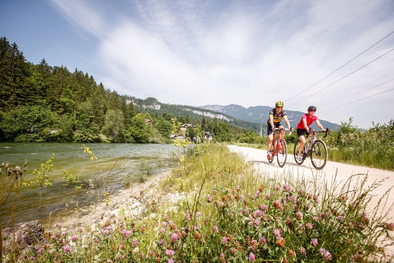
At the end of this loop, we pass the Weissenbachwirt again. Here, we have the opportunity to enjoy traditional Austrian cuisine and recharge before starting our return trip. On the way back to Bad Goisern, we follow the Traunreiterweg along the impressive river landscape of the Traun. In earlier times, salt from Hallstatt was also transported on rafts to Gmunden here. This relaxed section offers us the chance to experience a roaring river in all its glory and gather new energy. At the Sopheinbrücke, we turn left into the village, pass through the residential area, and turn right at the intersection to the Goiserer Mill, where we cruise through the Kurpark to reach the Hotel Goiserer Hof and turn left to the marketplace, the starting point of the Runde. Espresso and cake can be enjoyed at the café and at Kaffee Maislinger at the marketplace.
In conclusion, the Goiserer Natur Runde is not just a gravel bike route but an experience that uniquely combines history and nature. We not only explore the historic timber industry of Bad Goisern but also experience the pristine beauty of the nature reserve in the Weißenbachtal. This route promises adventure, relaxation, and culinary delights – an unforgettable experience in the Salzkammergut.
Tip:At the Chorinskyklause, a path leads to the Kaiser Jagdstammtisch – maybe you can guess which seat was reserved for Emperor Franz Josef?
Safety guidelines:The Goiserer Natur Runde is a circular route with the number S201 and is not signposted. Routes with 200-series numbers have a length of up to max. 20 km. The stated travel times are pure net riding times.
Please pay special attention to possible trucks at the beginning of the Weißenbachtal during weekdays.
To make your day perfect, you can find here a few tips worth noting before every route. Furthermore, be aware that you are moving in the mountains, so personal responsibility plays a big role. This concerns your choice of route, the expected weather, and potential areas without mobile phone reception where you will find no mobile connectivity.
More about this
Equipment:Please note that any gravel biking route must always be tackled with flawless equipment. Below are a few tips for preparation and gear.
More about this:
Additional information:In Bad Goisern, all mountain biking routes as well as gravel bike routes start at the ÖAMTC service point on Bahnhofstrasse near the municipal office. The mountain biking routes are signposted and numbered. These mountain biking routes are all also signposted from the Bad Goisern train station. The gravel routes are not signposted.
We welcome comments, suggestions, constructive criticism, and of course thousands of photos of your route with the hashtag #dachsteinsalzkammergut in your social media posts.
As new players on the field of mountain and recreational sports, we gravel bikers, mountain bikers, and e-MTB riders are particularly obliged to behave respectfully.
In Graubünden, bikers and hikers share the trails. A project that should be a role model. But this only works with mutual respect. Bad actors set us back years.
With shared rules of conduct, we ensure that the forest will continue to offer a unique recreational and living space as well as a workplace for everyone.
Information on cycling in the forest from the Federal Ministry of Agriculture, Regions and Tourism.
A túra webkamerái
Népszerű túrák a környéken
-
4,4
Bad Goisern: Pötschenhöhe – Sarstein - Obertraun
Kirándulás 11,4 km -
4,5
Hike to the Hütteneckalm
könnyűKirándulás 8,70 km -
4,8
Loserrunde über Augstsee, Loserfenster, Losergipfel und Loserhütte
közepesKirándulás 4,69 km -
4,7
/\ Sparber
nehézKirándulás 6,82 km -
4,0
Predigtstuhl 1.278m
közepesKirándulás 6,77 km -
4,9
„Hoher Sarstein 1975m“ - Hallstätter Genusstour - Hallstatt - Obertraun - Bad Ischl
nehézKirándulás 23,2 km -
4,2
Weißenbach-Meisterebenalm-Raudaschalm-Fachbergalm zurück nach Weißenbach
közepesKirándulás 12,3 km -
3,6
Vormauerstein von St. Wolfgang hinauf
közepesKirándulás 14,5 km -
4,6
Frühlingsausflug auf den Predigtstuhl
közepesKirándulás 4,43 km -
4,7
Hütteneck ski & snowshoe tour
közepesHótalpas túra 3,88 km
Túrázás & nyomkövetés


Ne maradjon le az ajánlatokról és az inspirációról a következő nyaralásához!
Az Ön e-mail címe hozzá lett adva a levelezőlistához.