


Palfries Panorama Bike No. 477
Nehézségi szint: S1


Fotók felhasználóinkról
-
 © Joe TäschlerLétrehozta a 04.05.2025
 -
 © Joe TäschlerLétrehozta a 04.05.2025
 -
 © Cyrill BischofLétrehozta a 24.02.2025
 -
 © Cyrill BischofLétrehozta a 27.01.2025
 -
 © Cyrill BischofLétrehozta a 27.01.2025
 -
 © Cyrill BischofLétrehozta a 27.01.2025
 -
 © Cyrill BischofLétrehozta a 27.01.2025
 -
 © Cyrill BischofLétrehozta a 27.01.2025
 -
 © Cyrill BischofLétrehozta a 27.01.2025

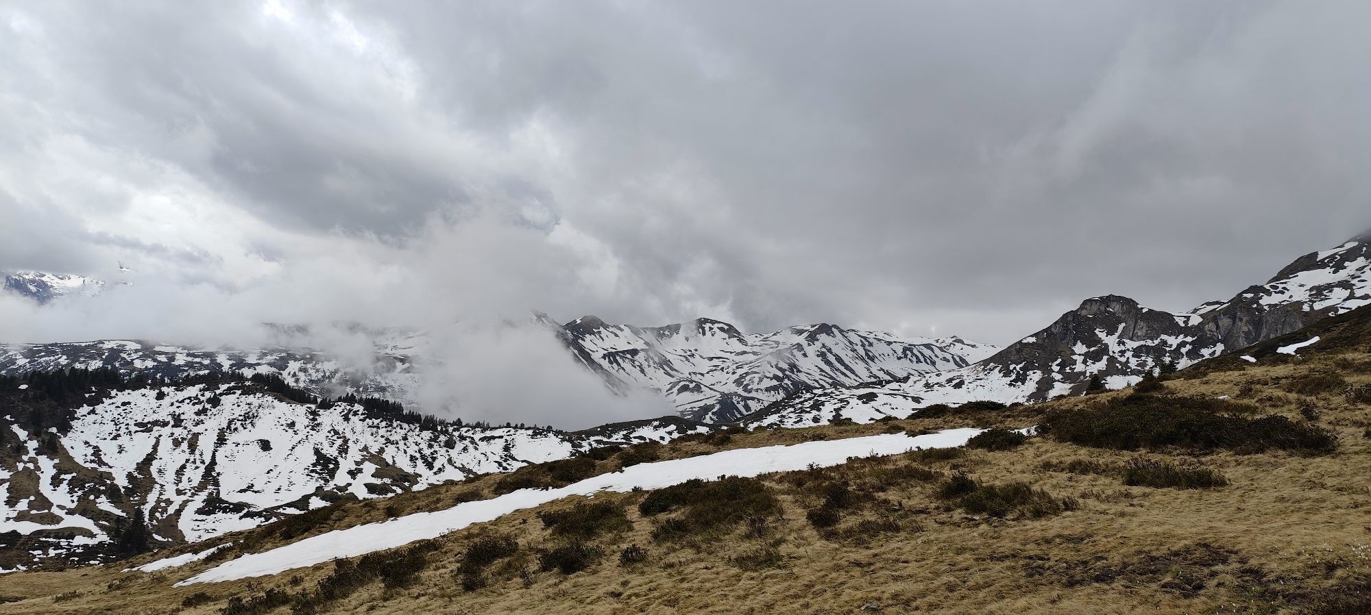

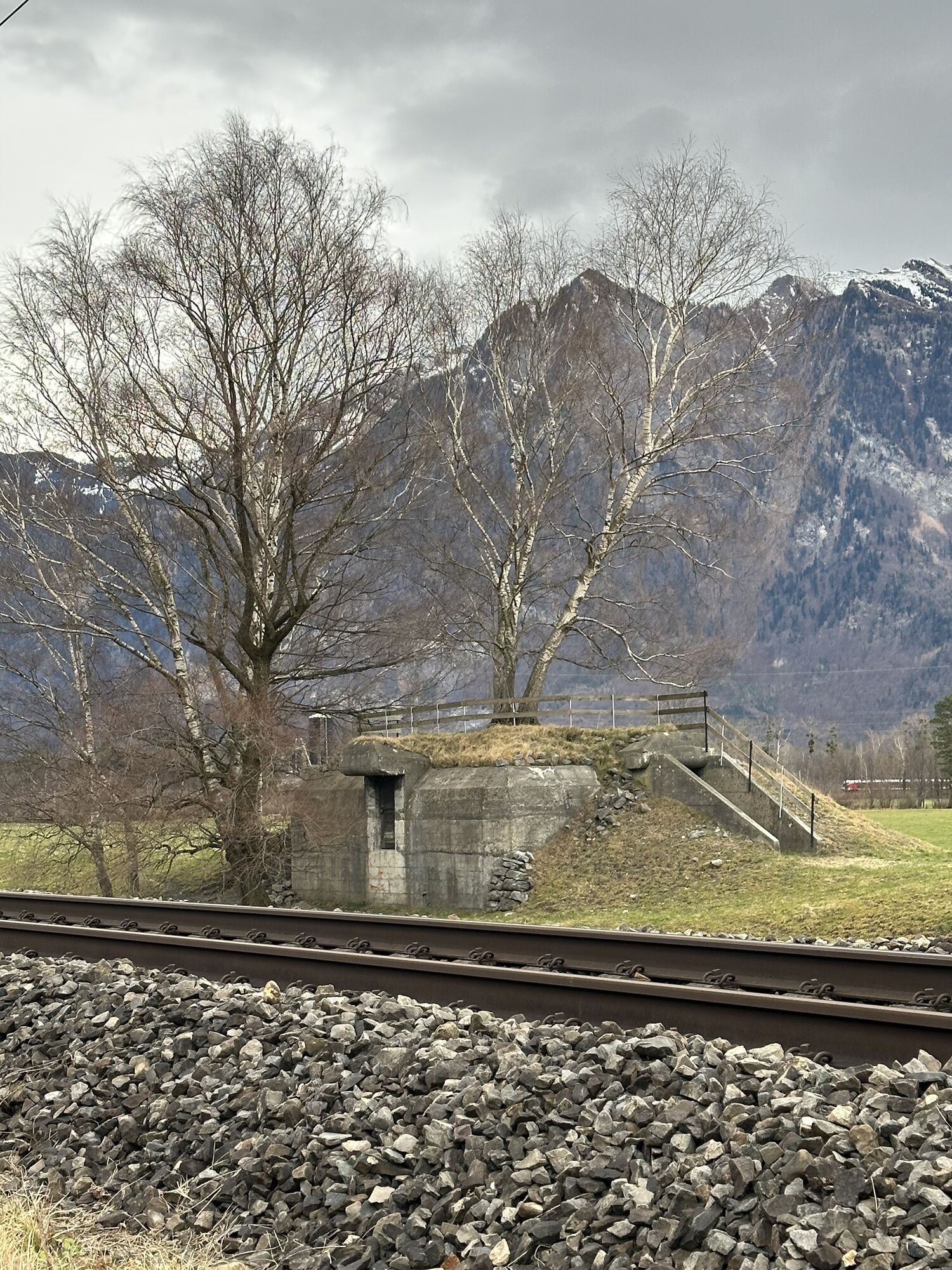
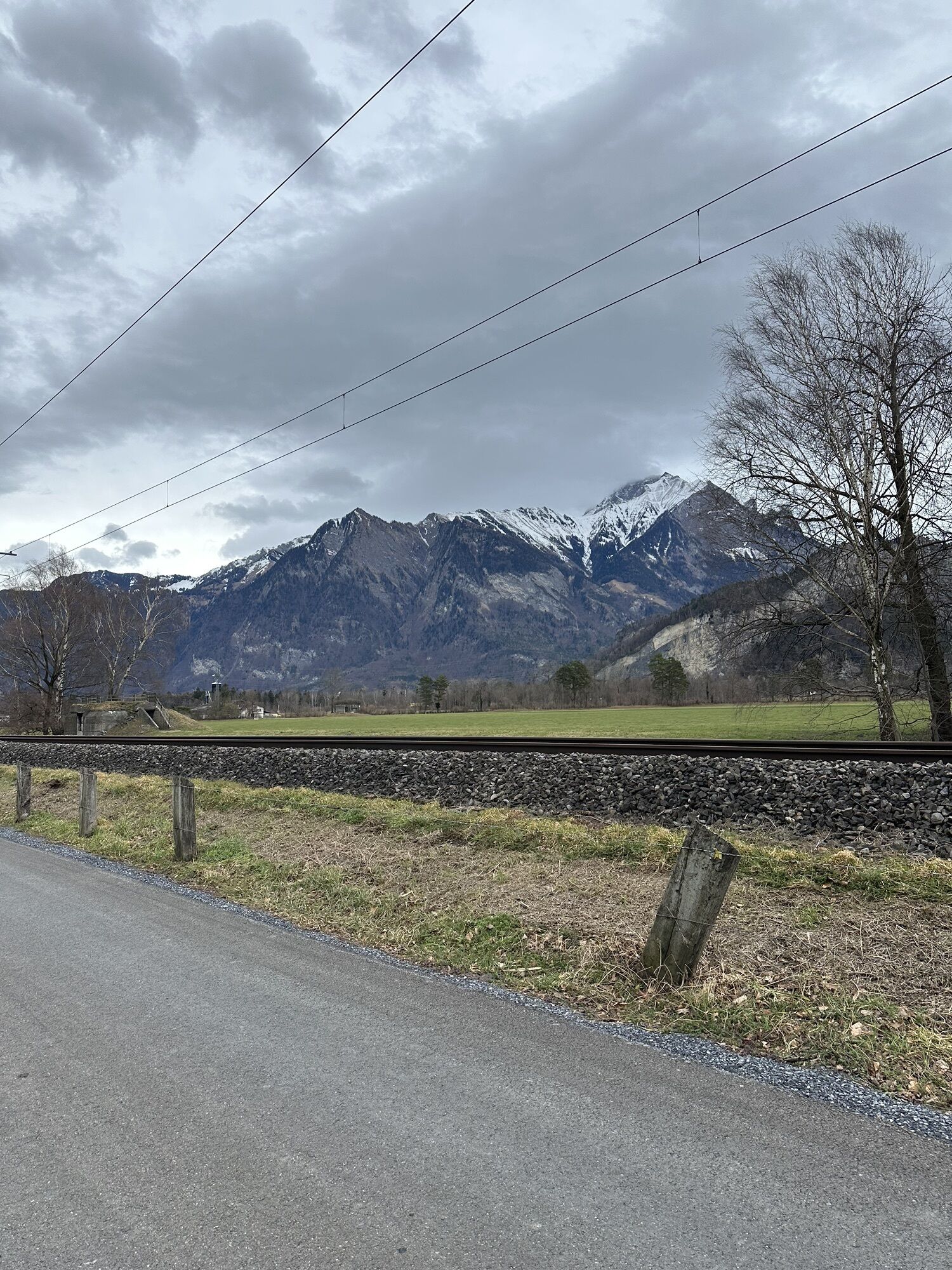


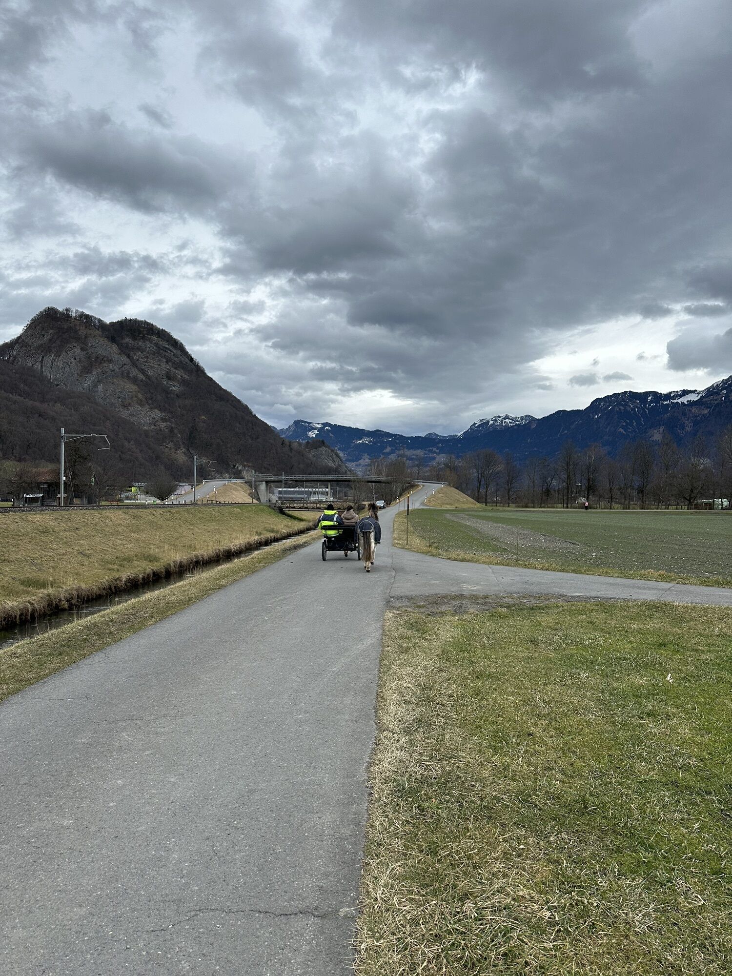
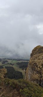
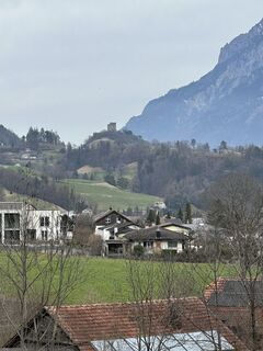
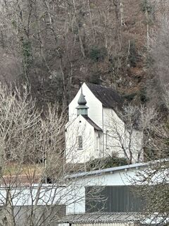
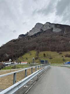
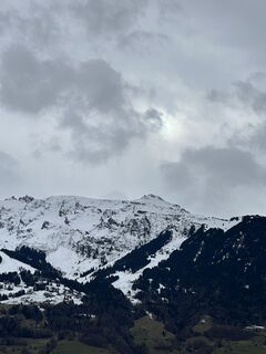
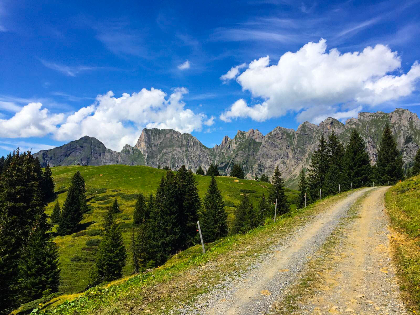
Start and finish of this route is the historic town of Sargans at the foot of the Gonzen, which today houses an interesting show mine with a restaurant. After briefly following the Rhine, a steady climb...
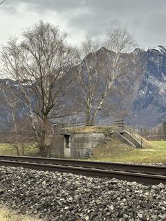
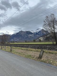
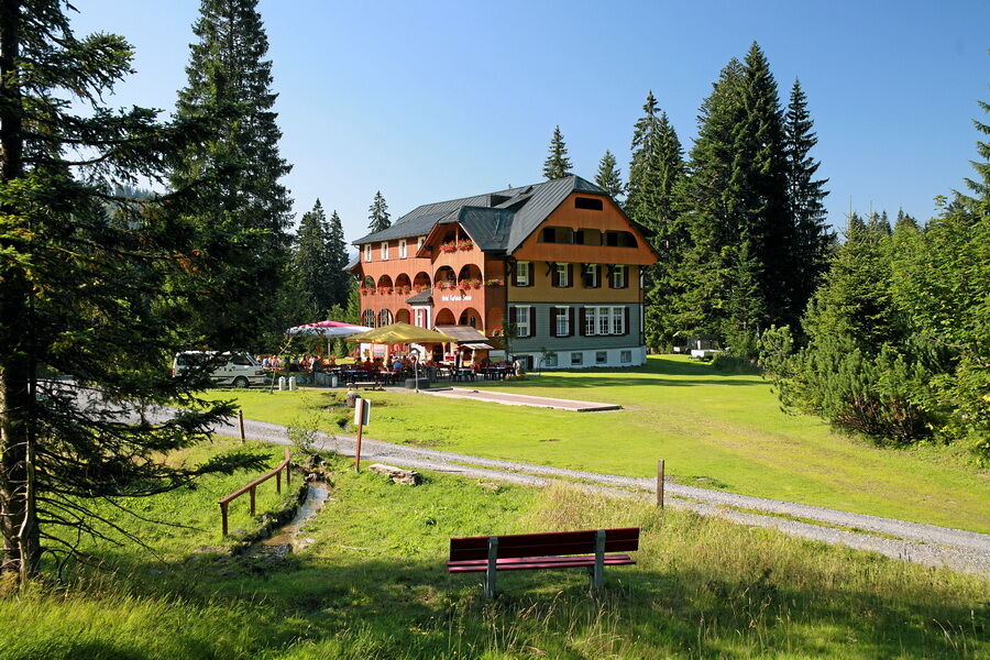
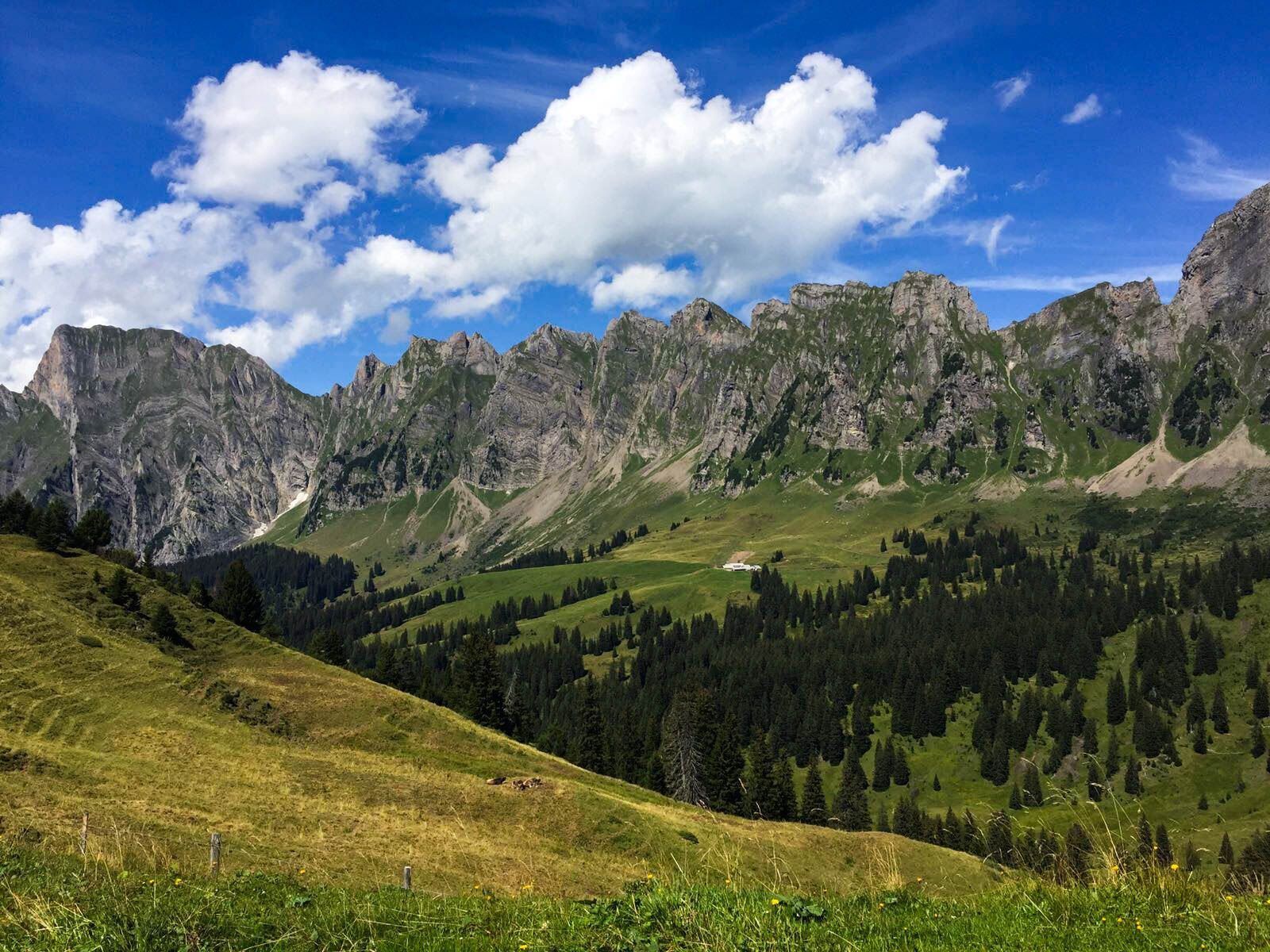
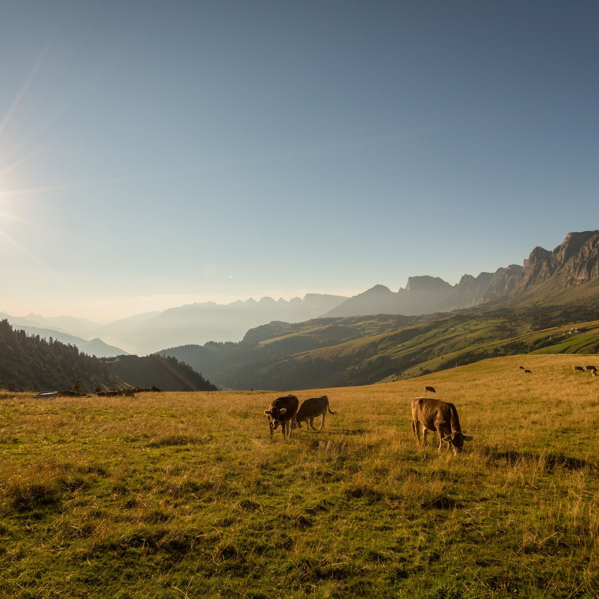
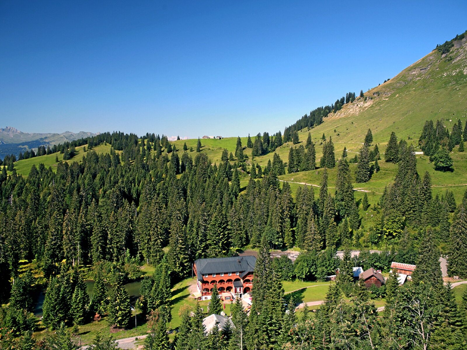
Start and finish of this route is the historic town of Sargans at the foot of the Gonzen, which today houses an interesting show mine with a restaurant. After briefly following the Rhine, a steady climb mostly on a paved road begins from Trübbach. Above Labria, the landscape changes abruptly. After a short time, you reach the Palfries high plateau and are overwhelmed by the panorama. Riding along the foot of the Alvier mountain range, you overlook the entire Heidiland holiday region with Sarganserland, Walensee, and the Churfirsten. From the former Walser settlement on Palfries, an almost 600-year-old town hall of the free Walser still remains today. The descent begins with a beautiful singletrail and continues on an alpine road through original natural landscapes of wild character. From the Sennis mountain inn, it goes on via Valaschga, past the Hagerbach experimental tunnel, and after crossing the motorway, back to Sargans.


Sargans - Trübbach - Malanser Holz - Palfries - Kurhaus Sennis-Alp - Valaschga - March - Mels - Sargans
Functional clothing is an advantage, as climbs and descents alternate.
Motorway exit Sargans, then continue to the station
By train to Sargans
Public parking available at Sargans station (P+R)
S1
Heidiland Tourismus AG, Infostelle Flumserberg
T +41 81 720 18 18
www.heidiland.com
The mountain inn Palfries and the historic spa house Sennis-Alp offer both catering and accommodation options. You can also get refreshments at the mountain inn Stralrüfi.
Népszerű túrák a környéken
-
4,7
Riviera Walensee Walenstadt - Quinten
közepesKirándulás 10,4 km -
4,6
To the Alpspitz summit cross
könnyűKirándulás 6,27 km -
4,6
Fürstensteig / Drei Schwestern
közepesKirándulás 12,2 km -
4,5
Fürstin-Gina-Weg
közepesKirándulás 12,0 km -
4,8
From Malbun to the Schönberg
közepesKirándulás 12,4 km -
4,8
Pizalun circular route
könnyűKirándulás 7,18 km -
4,6
Wanderung Malbun - Sass-Seeli - Sassförkle - Drei Kapuziner - Schönberg - und Talstation Täli wieder zurück nach Malbun
közepesKirándulás 10,8 km -
3,7
Sassweg - von Malbun zum Sass-Seelein
Kirándulás 4,14 km -
4,6
5-Seen Wanderung am Pizol
könnyűKirándulás 10,1 km -
4,7
Alvier
közepesKirándulás 3,33 km
Túrázás & nyomkövetés


Ne maradjon le az ajánlatokról és az inspirációról a következő nyaralásához!
Az Ön e-mail címe hozzá lett adva a levelezőlistához.