


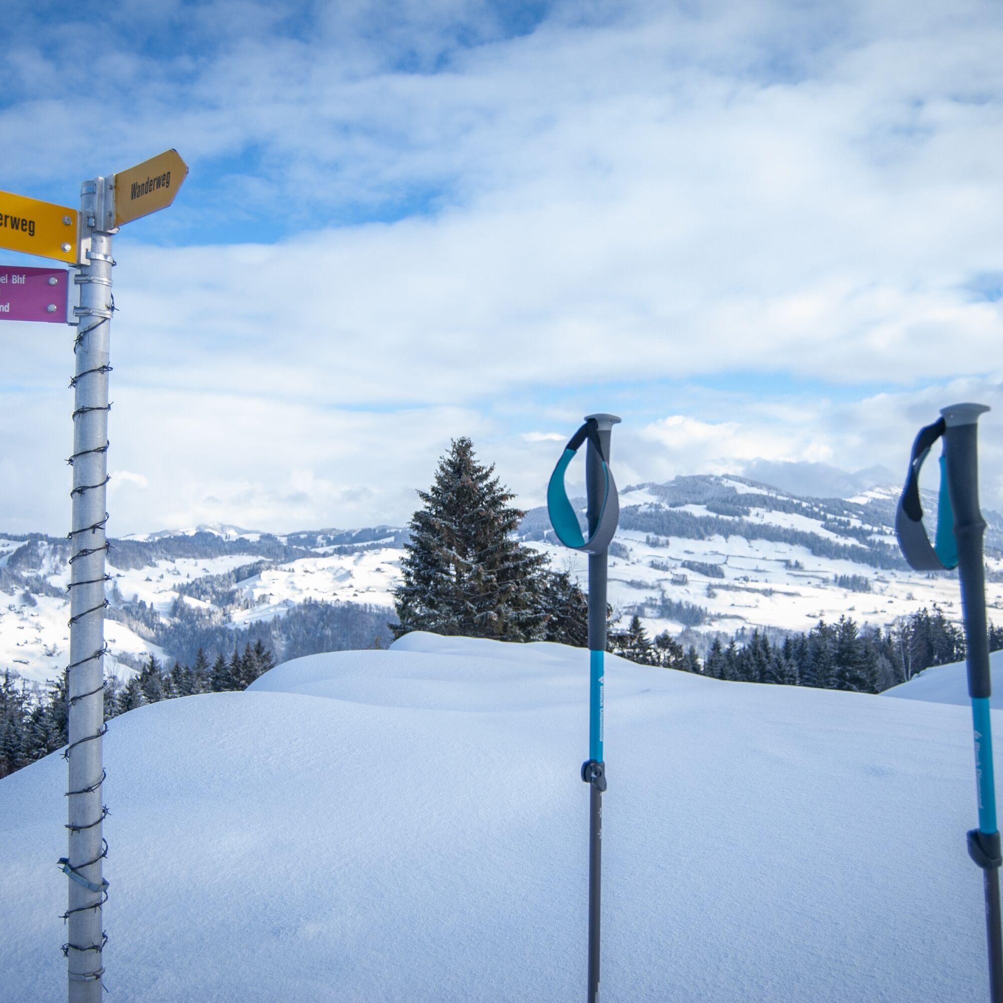
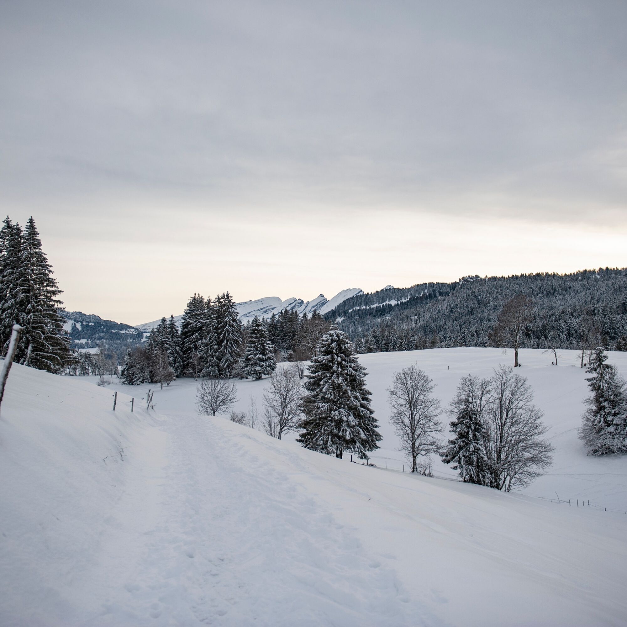
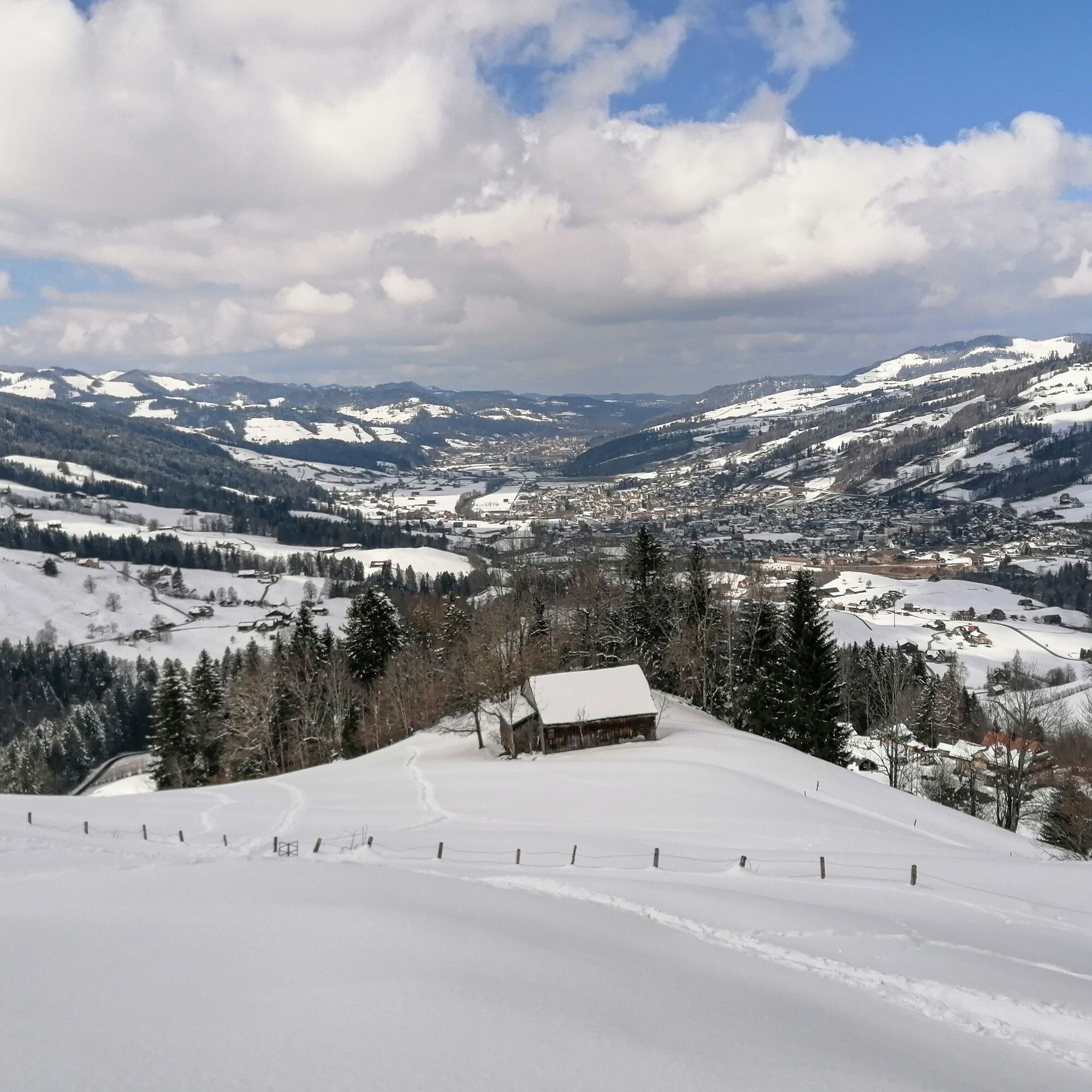
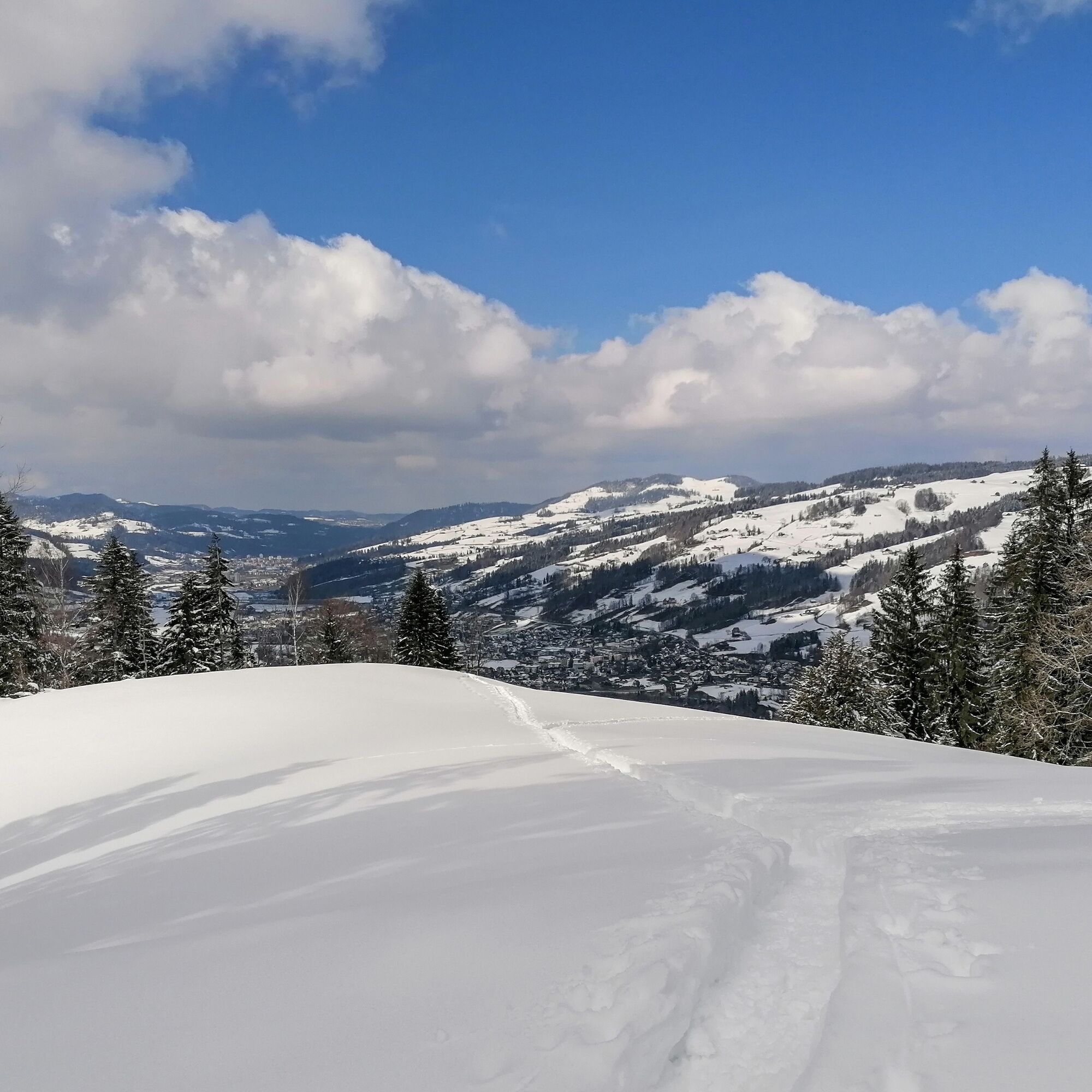
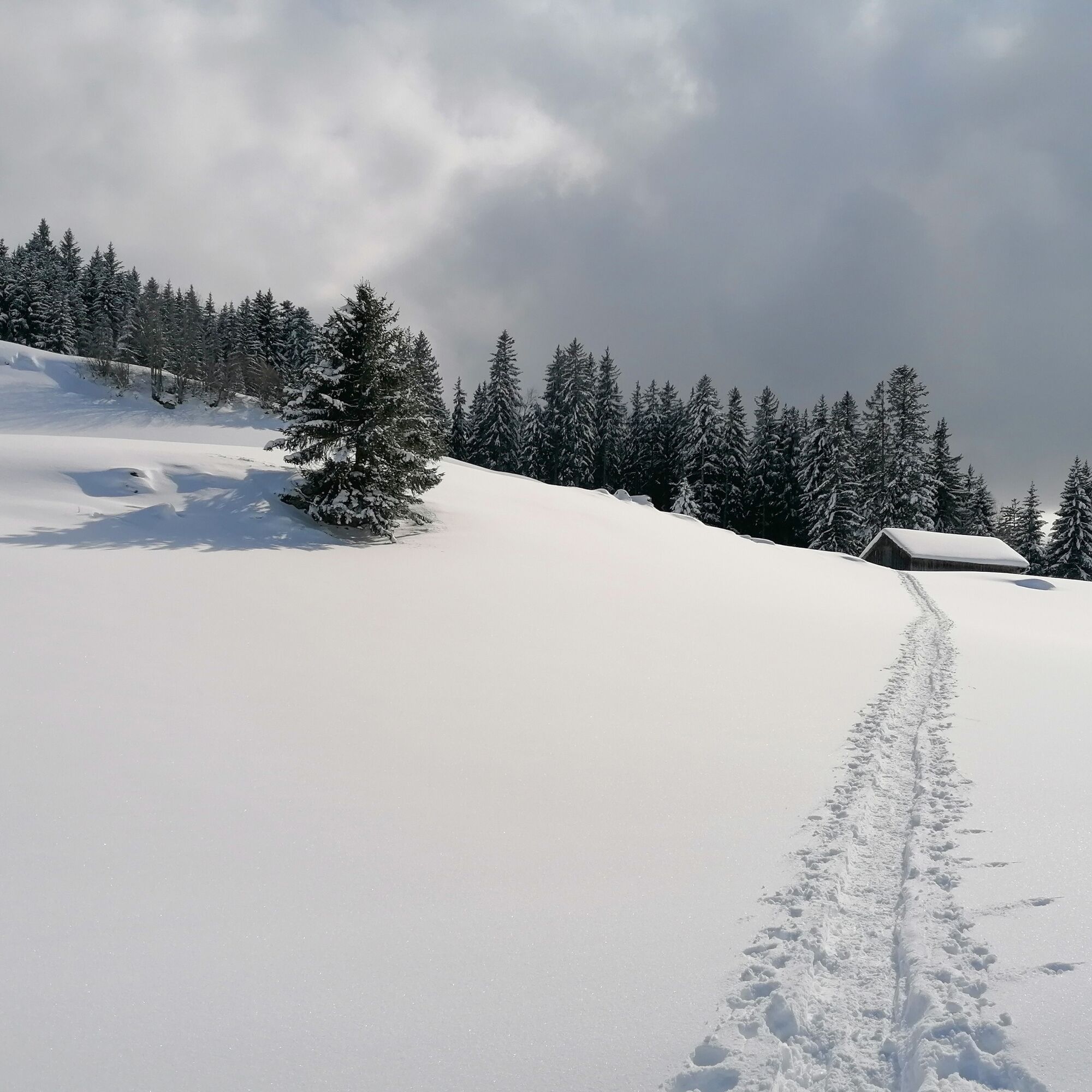
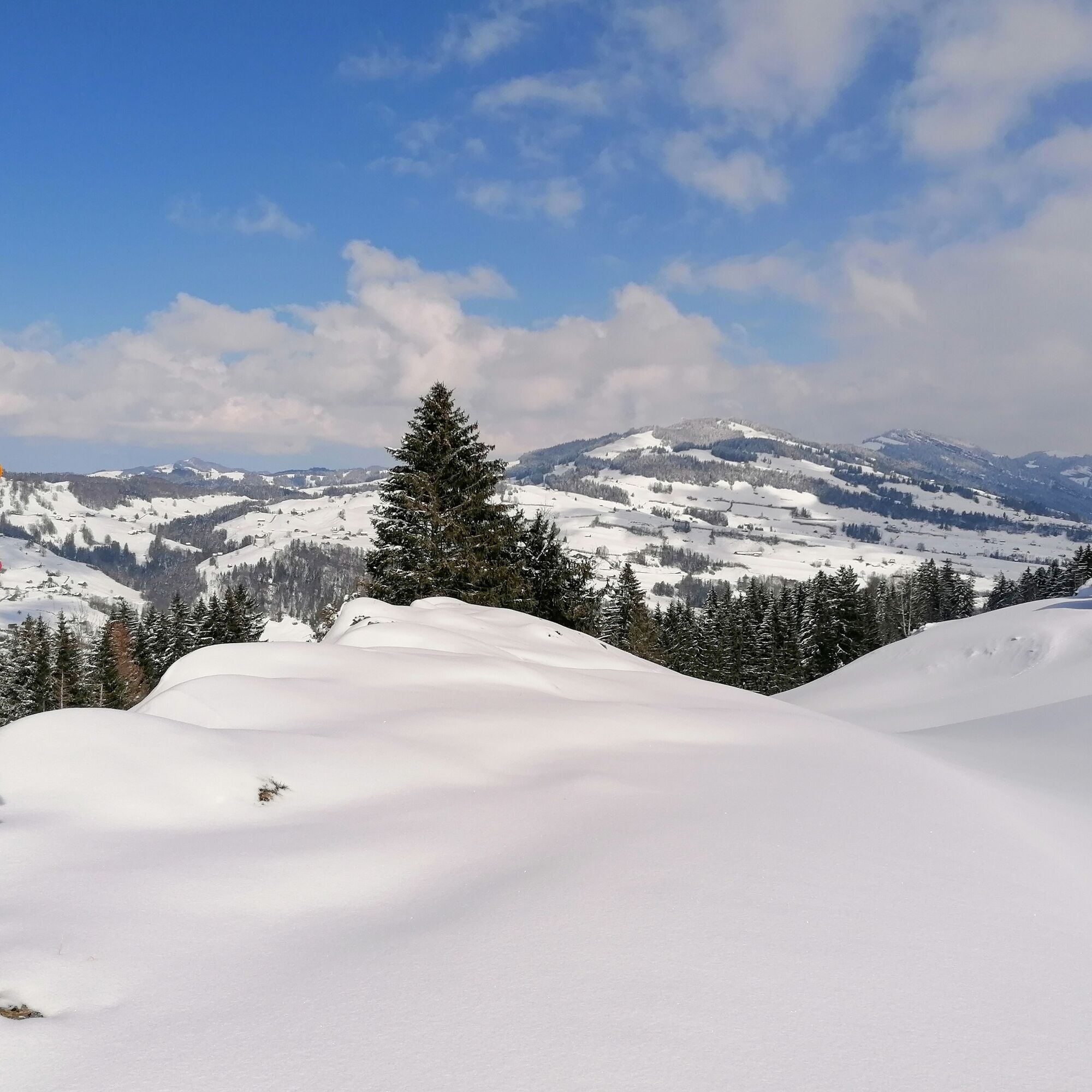
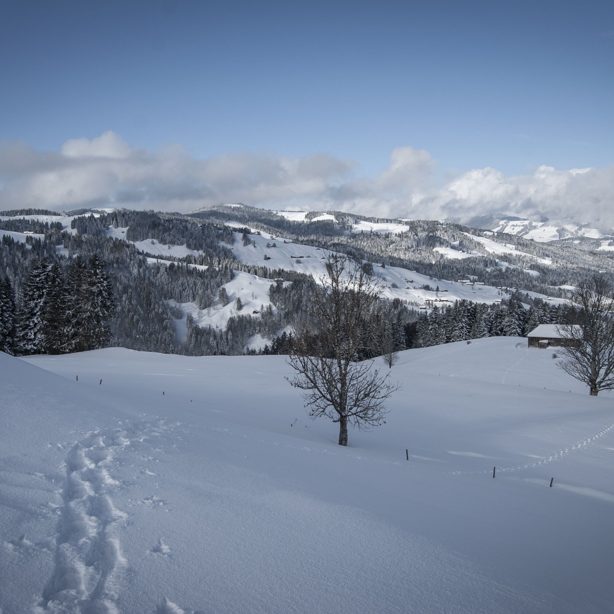
Snowshoe route from Wolzenalp to Ebnat-Kappel


From the mountain station, the path leads to Alp Ell and further past the Schandwald forest. It then continues to the village of Ebnat-Kappel, where new energy can be gained with a hot chocolate.

Snowshoes, telescopic poles with large baskets, avalanche equipment with transceiver, avalanche probe, and avalanche shovel, day hiking backpack (approx. 30 liters) with rain cover, possibly with avalanche airbag, comfortable and waterproof winter boots or sturdy hiking boots that fit the bindings of the snowshoes, possibly gaiters, warm and hard-wearing clothing in layers, ski jacket and pants, hat / headband, scarf, gloves, possibly ski goggles, sun and rain protection, provisions and drinking water, thermos with hot drink, first aid kit, pocket knife, mobile phone, possibly headlamp and reflectors, maps, possibly bivy sack and emergency blanket.
The path is neither signposted nor secured. Use at your own risk.
From the greater Zurich area and Central Switzerland:
Take the A3 at Reichenburg towards Rapperswil and then over the Ricken Pass to Wattwil. Then up the Toggenburg to Krummenau. From Eastern Switzerland:
From St. Gallen to Herisau and further over Wasserfluh to Lichtensteig. Or from St. Gallen to Wil, take the Toggenburg exit. Follow the main road to Krummenau. From the southern German region:
Via Bregenz and St. Margrethen on the A13 to Haag and take the exit towards Toggenburg/Wildhaus. Or via Konstanz to Wil, then take the Toggenburg exit and follow the main road to Krummenau.
By train to Wattwil and then onwards to Krummenau station.
From the Rhine Valley by train to Buchs SG station and then by bus to Nesslau Neu St. Johann station. From there again by train one stop to Krummenau.
From the Kanstonsstrasse exit, the way to the large car park is signposted.
Toggenburg Tourism
Hauptstrasse 104
9658 Wildhaus
+41 71 999 99 11
Népszerű túrák a környéken
-
4,6
Riviera Lake Walen Weesen – Quinten
közepesKirándulás 10,2 km -
4,6
Weesen - Quinten - Walenstadt
nehézKirándulás 20,6 km -
4,5
Amden - Speer (Rundkurs)
könnyűKirándulás 17,6 km -
3,3
Seerenbach waterfalls
könnyűKirándulás 4,38 km -
5,0
Chatzenloch hike with suspension bridge
könnyűKirándulás 5,91 km -
4,9
Kronberg - Schwaegalp
könnyűKirándulás 5,90 km -
Walensee - Tour
nehézKirándulás 26,6 km -
4,6
Schwägalp - Berggasthaus Tierwies - Girenspitz - Säntis
nehézKirándulás 4,83 km -
Mountain route over the Tierwis to the Säntis
nehézKirándulás 8,20 km -
4,0
Schönengrund - Hochhamm - Schönengrund
közepesKirándulás 9,51 km
Túrázás & nyomkövetés


Ne maradjon le az ajánlatokról és az inspirációról a következő nyaralásához!
Az Ön e-mail címe hozzá lett adva a levelezőlistához.