


Snowshoe tour to the Gulmen


Start of the route at the large Chuchitobel parking lot in Wildhaus. On a small paved road, first uphill and then towards the ravine and Gamplüt cable car. Through a protected forest you now come with...
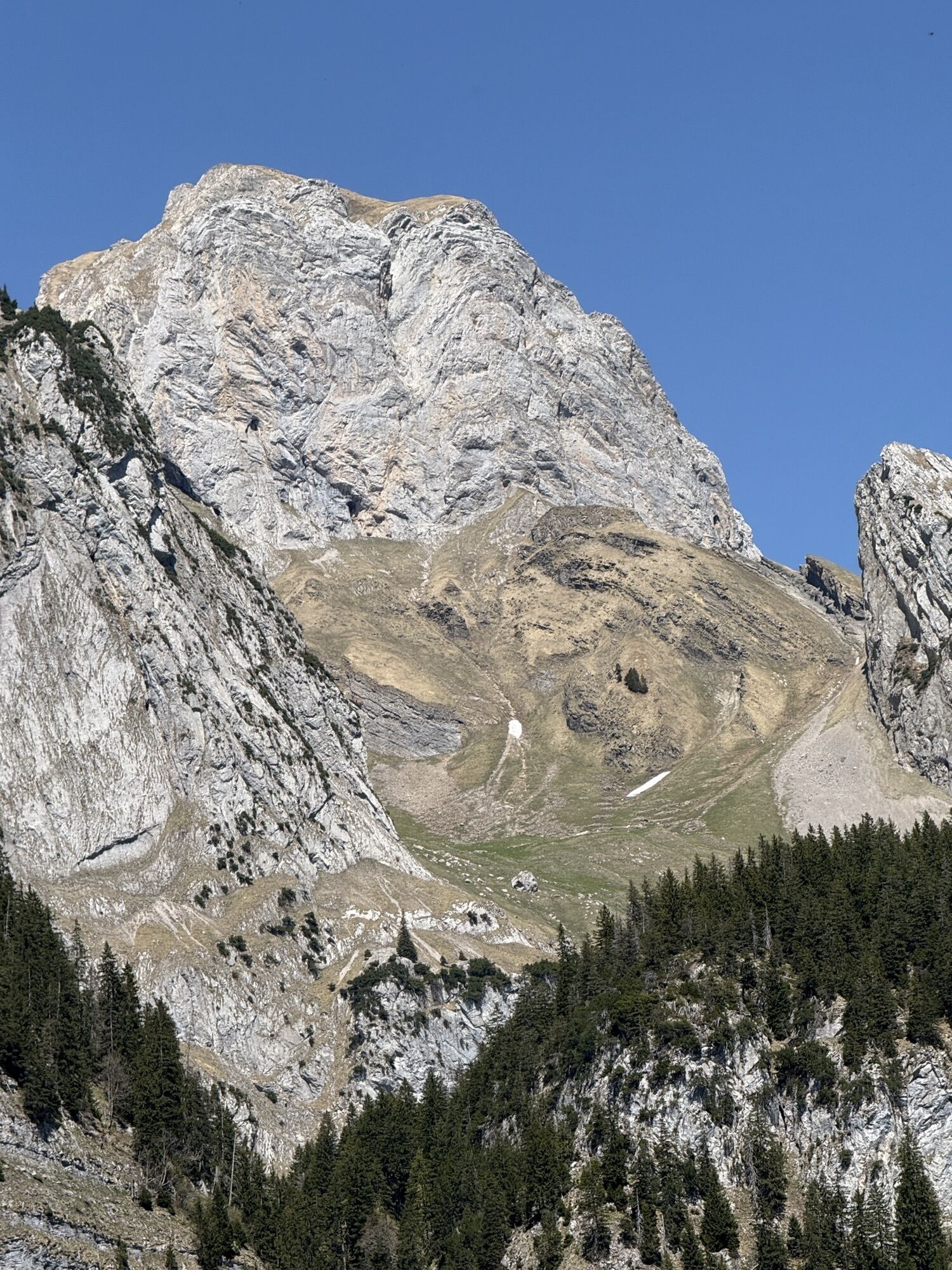
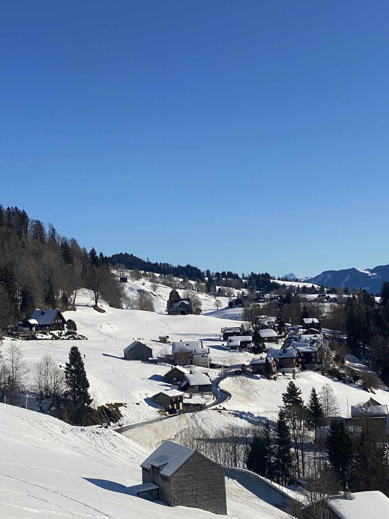
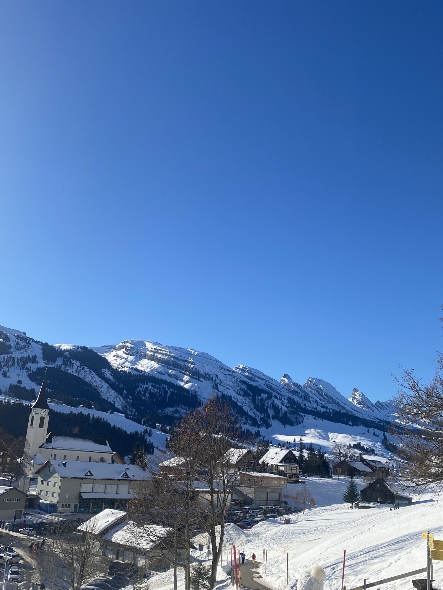
Start of the route at the large Chuchitobel parking lot in Wildhaus. On a small paved road, first uphill and then towards the ravine and Gamplüt cable car. Through a protected forest you now come with repeatedly beautiful views of the Churfirsten towards the Gulmehütte. At approximately 1450 m you meet the tracks of snowshoers who go from the Gamplüt cable car mountain station to the Gulme. Passing the Gulmehütte, you continue to the Gulme, to the left the Wildhuser Schafberg is visible.
The return route is initially the same as the outward one, up to the junction to the Gamplüt mountain station. There you can decide whether to take the same way back or take the route towards Gamplüt. From Gamplüt you have the option to take the cable car down to the valley.
Time for ascent and descent approx. 4.5 hrs
Igen
Observe wildlife protection zones and avalanche danger. The route is neither marked nor signposted.
By car to Wildhaus pass, turn left to the Chuchitobel parking lot.
By post bus to Wildhaus village. Then on foot towards Schönenboden.
By car to the Chuchitobel parking lot.
large Chuchitobel parking lot
Népszerű túrák a környéken
-
4,5
Tour Brülisau - Saxerlücke - Hoherkasten⛰
nehézKirándulás 16,6 km -
4,7
Riviera Walensee Walenstadt - Quinten
közepesKirándulás 10,4 km -
4,9
Säntis-Gipfeltour, Wasserauen / Appenzell Innerrhoden
nehézKirándulás 21,1 km -
4,7
Wasserauen - Seealpsee - Wasserauen
közepesKirándulás 7,71 km -
5,0
Staubern-Runde (15.8.2021)
közepesKirándulás 8,65 km -
4,5
Weesen - Quinten - Walenstadt
nehézKirándulás 20,6 km -
4,8
Seealpsee
közepesKirándulás 12,3 km -
5,0
Seealpsee Runde
közepesKirándulás 8,22 km -
3,0
Ebenalb, Aescher, Seealpsee, Meglisalp, Wasserauen
nehézKirándulás 13,6 km -
5,0
Traumhafte 3-Seen/Hütten Runde in Appenzell Schweiz
közepesMagashegyi túra 19,7 km
Túrázás & nyomkövetés


Ne maradjon le az ajánlatokról és az inspirációról a következő nyaralásához!
Az Ön e-mail címe hozzá lett adva a levelezőlistához.