


Churfirsten Trail Run "Panorama Trail"
Nehézségi szint: T3


Fotók felhasználóinkról
-
 © Burkhard VetschLétrehozta a 11.10.2025
 -
 © Peter WürmliLétrehozta a 22.08.2025
 -
 © Passport1405Létrehozta a 17.08.2025
 -
 © Passport1405Létrehozta a 17.08.2025
 -
 © Passport1405Létrehozta a 17.08.2025
 -
 © Passport1405Létrehozta a 17.08.2025
 -
 © Passport1405Létrehozta a 17.08.2025
 -
 © Passport1405Létrehozta a 17.08.2025
 -
 © Passport1405Létrehozta a 17.08.2025
 -
 © Passport1405Létrehozta a 17.08.2025
 -
 © Passport1405Létrehozta a 17.08.2025
 -
 © Passport1405Létrehozta a 17.08.2025
 -
 © Passport1405Létrehozta a 17.08.2025
 -
 © Passport1405Létrehozta a 17.08.2025
 -
 © Passport1405Létrehozta a 17.08.2025
 -
 © Passport1405Létrehozta a 17.08.2025
 -
 © Passport1405Létrehozta a 17.08.2025
 -
 © Passport1405Létrehozta a 17.08.2025
 -
 © Passport1405Létrehozta a 17.08.2025
 -
 © Passport1405Létrehozta a 17.08.2025
 -
 © Passport1405Létrehozta a 17.08.2025
 -
 © brauni69Létrehozta a 06.07.2025
 -
 © SvenLétrehozta a 05.07.2025
 -
 © SvenLétrehozta a 01.06.2025
 -
 © SvenLétrehozta a 01.06.2025
 -
 © Joe TäschlerLétrehozta a 27.05.2025
 -
 © Joe TäschlerLétrehozta a 27.05.2025
 -
 © SvenLétrehozta a 02.05.2025
 -
 © Erich Graf 2Létrehozta a 09.03.2025
 -
 © Erich Graf 2Létrehozta a 09.03.2025
 -
 © Erich Graf 2Létrehozta a 09.03.2025
 -
 © Francesco f ErnstLétrehozta a 04.03.2025
 -
 © Francesco f ErnstLétrehozta a 19.02.2025
 -
 © Francesco f ErnstLétrehozta a 19.02.2025
 -

 © TurbinioLétrehozta a 19.01.2025
 -
 © Marlyse LeuLétrehozta a 12.01.2025
 -
 © Marlyse LeuLétrehozta a 12.01.2025
 -
 © Marlyse LeuLétrehozta a 12.01.2025
 -
 © Peter WürmliLétrehozta a 26.12.2024


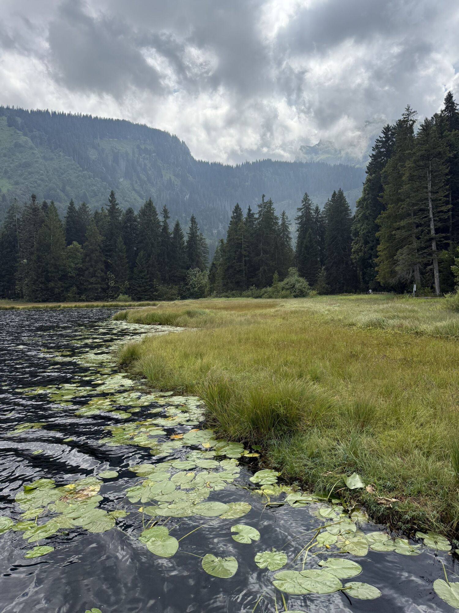
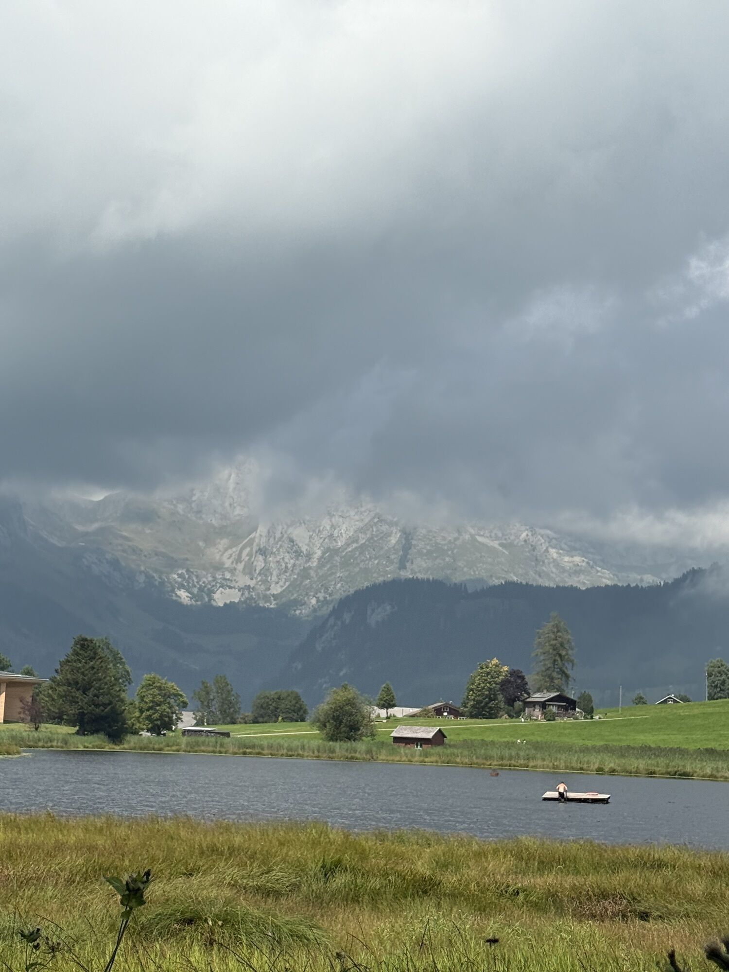
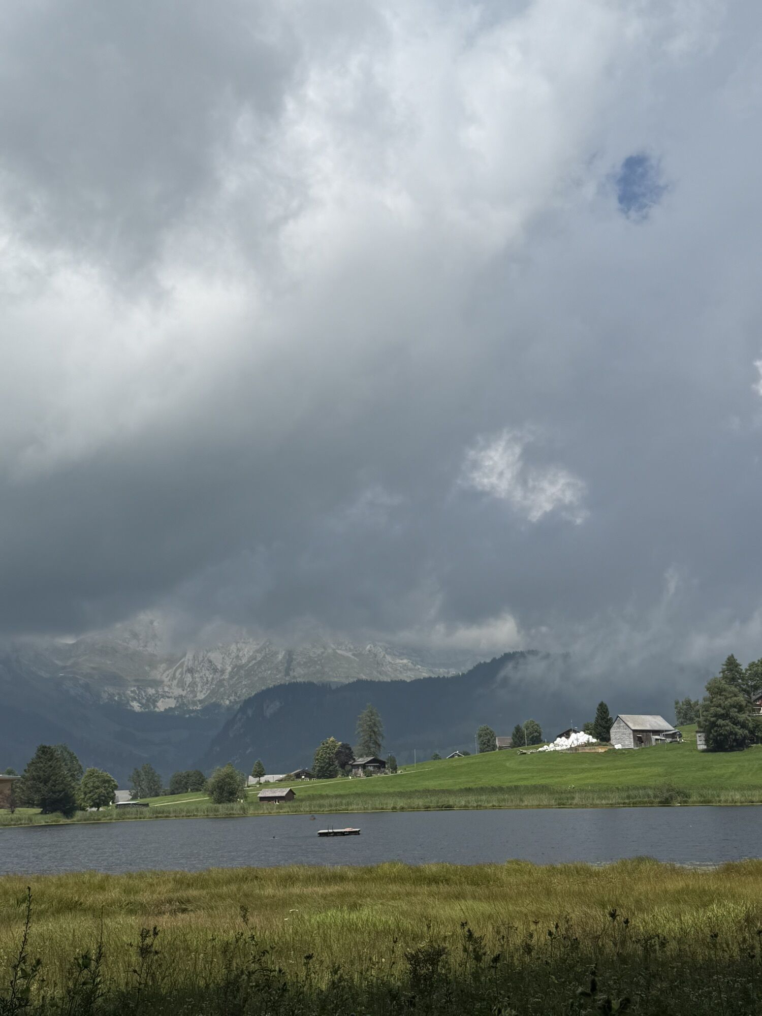


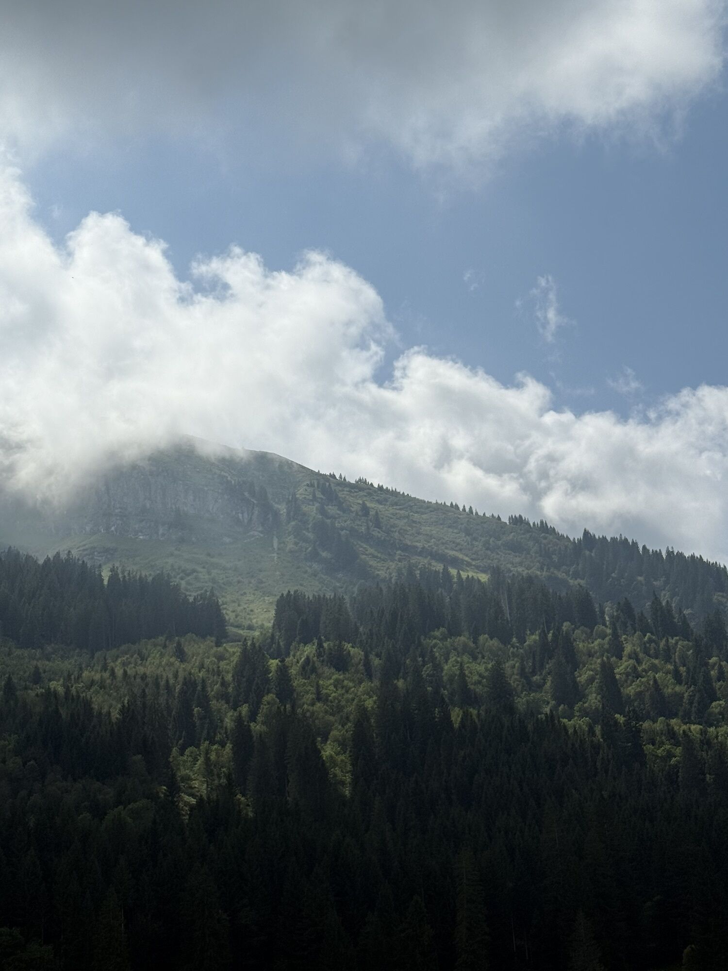
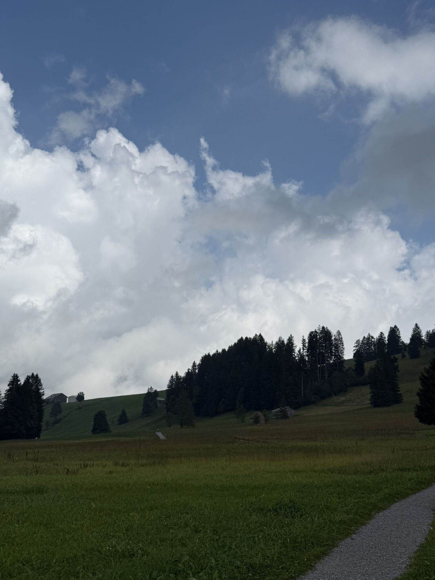

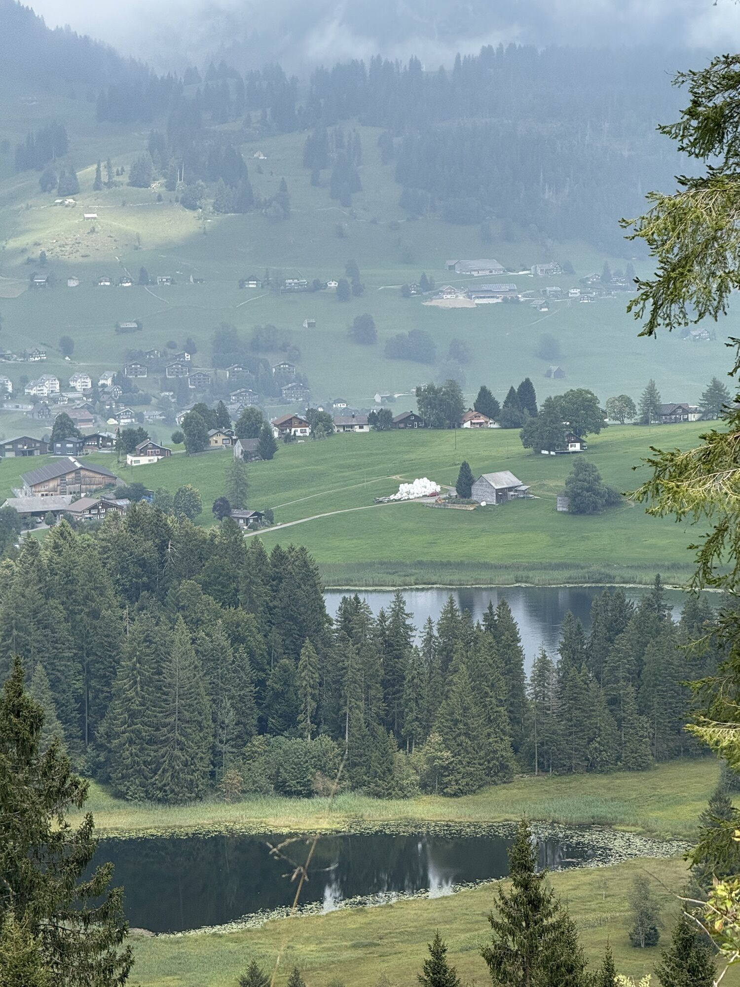

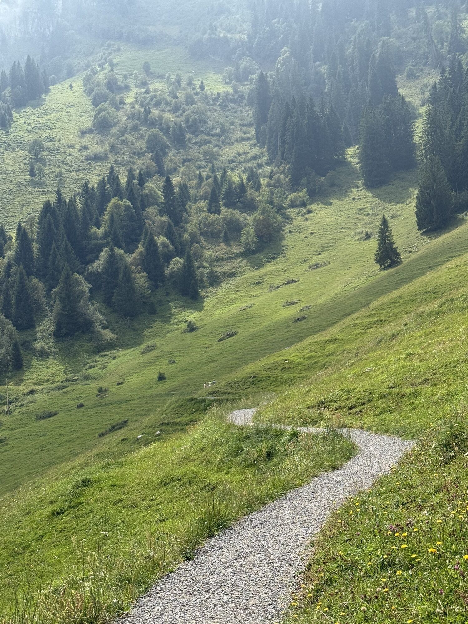

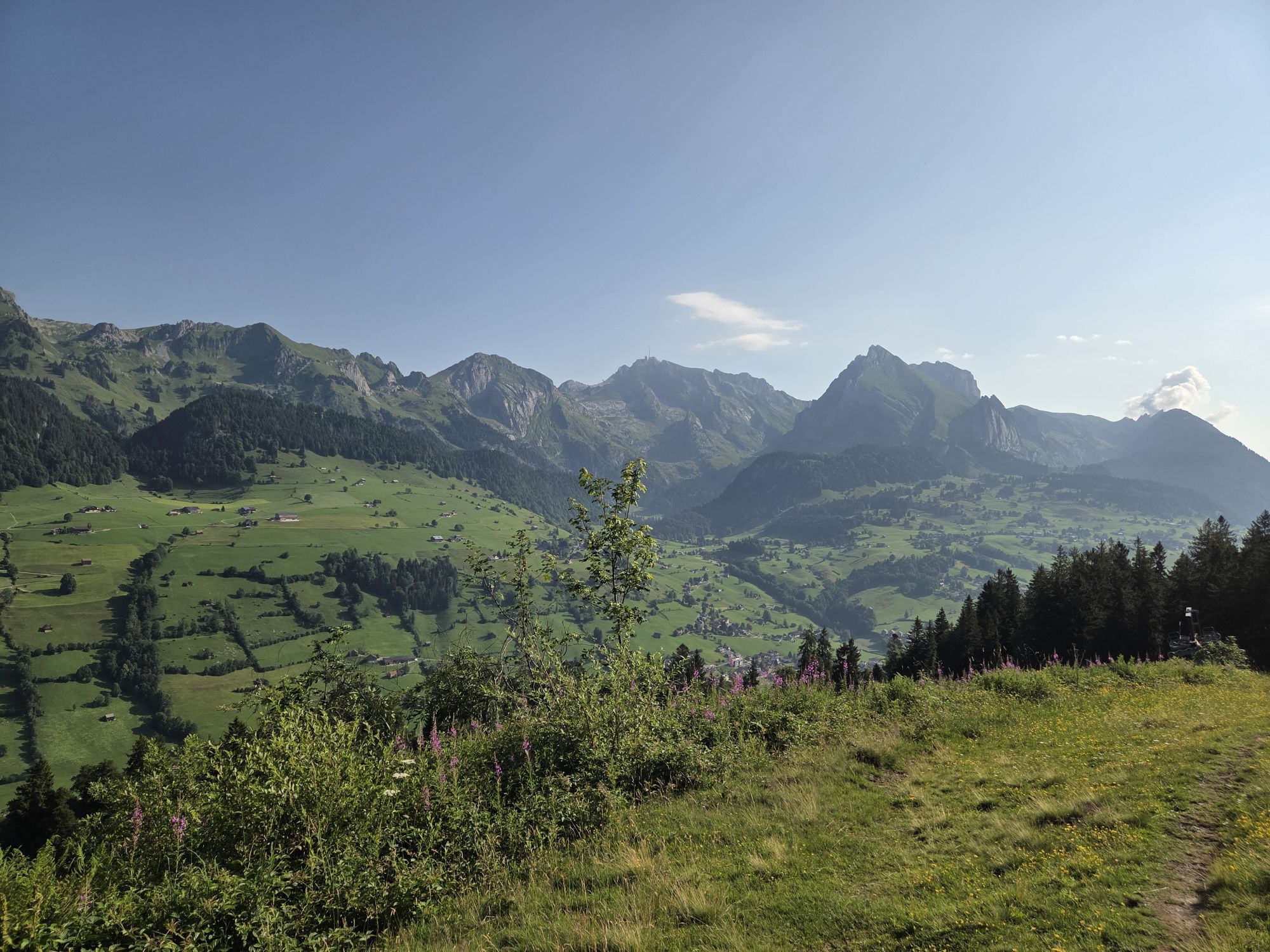
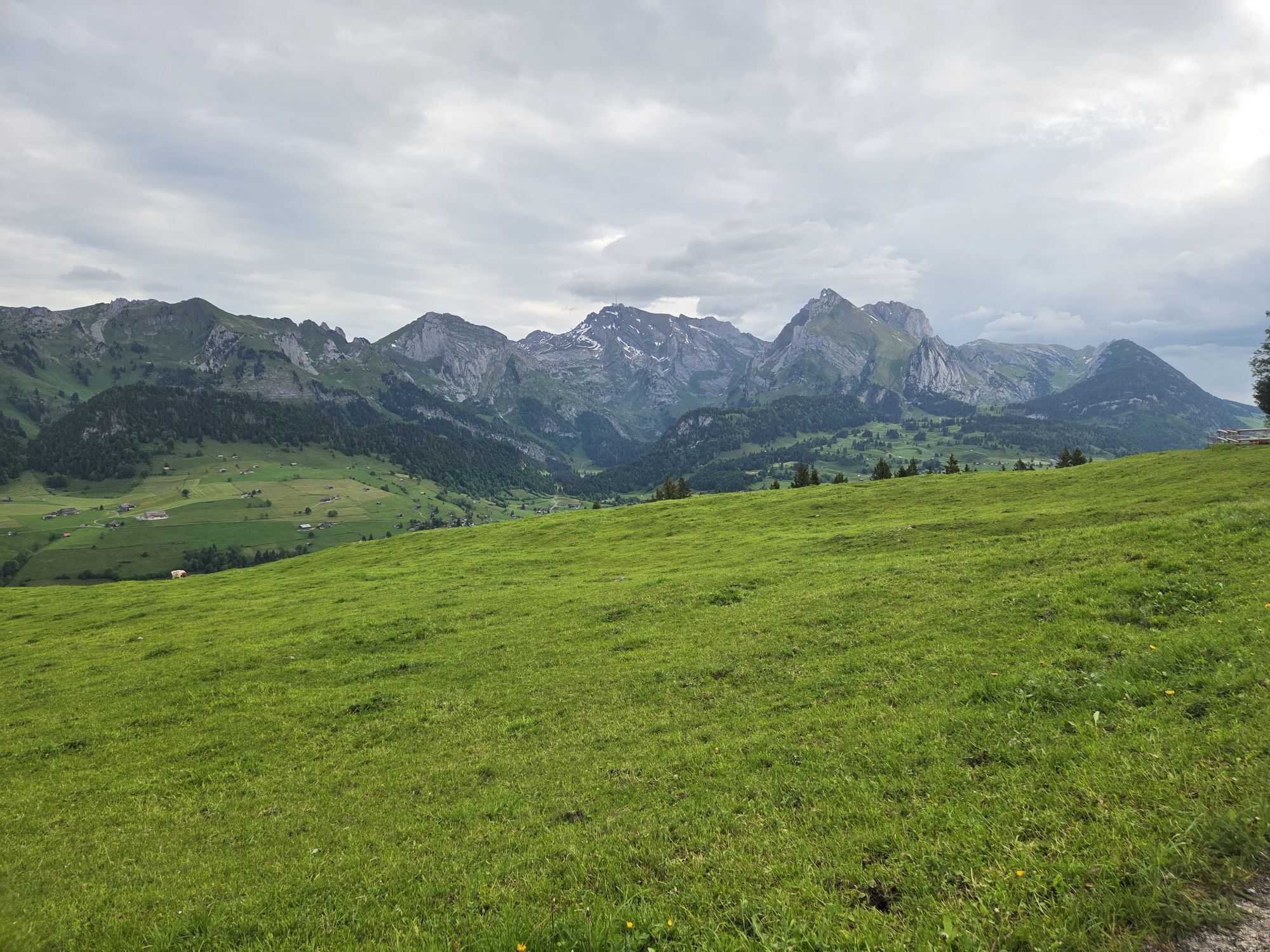

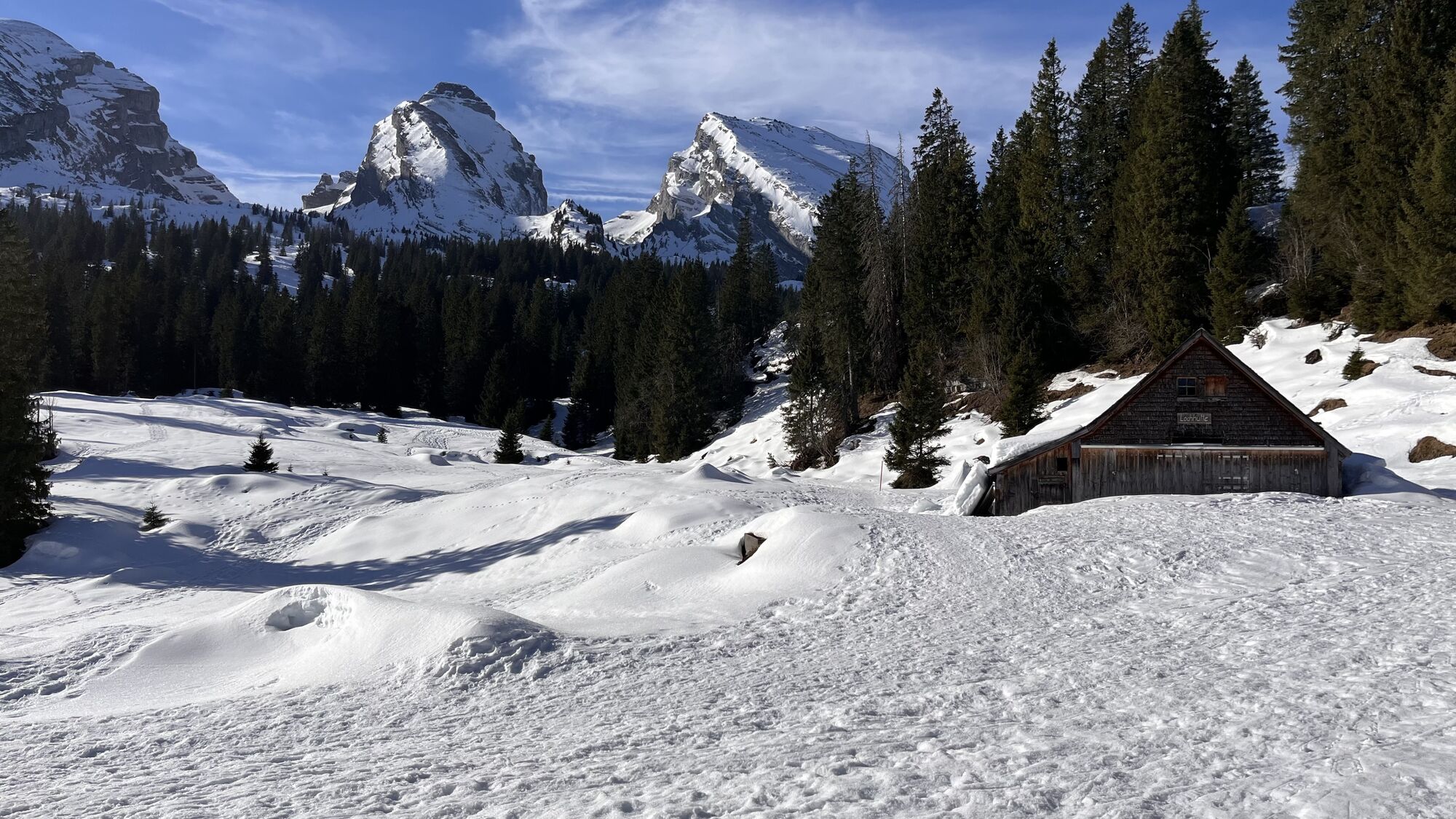


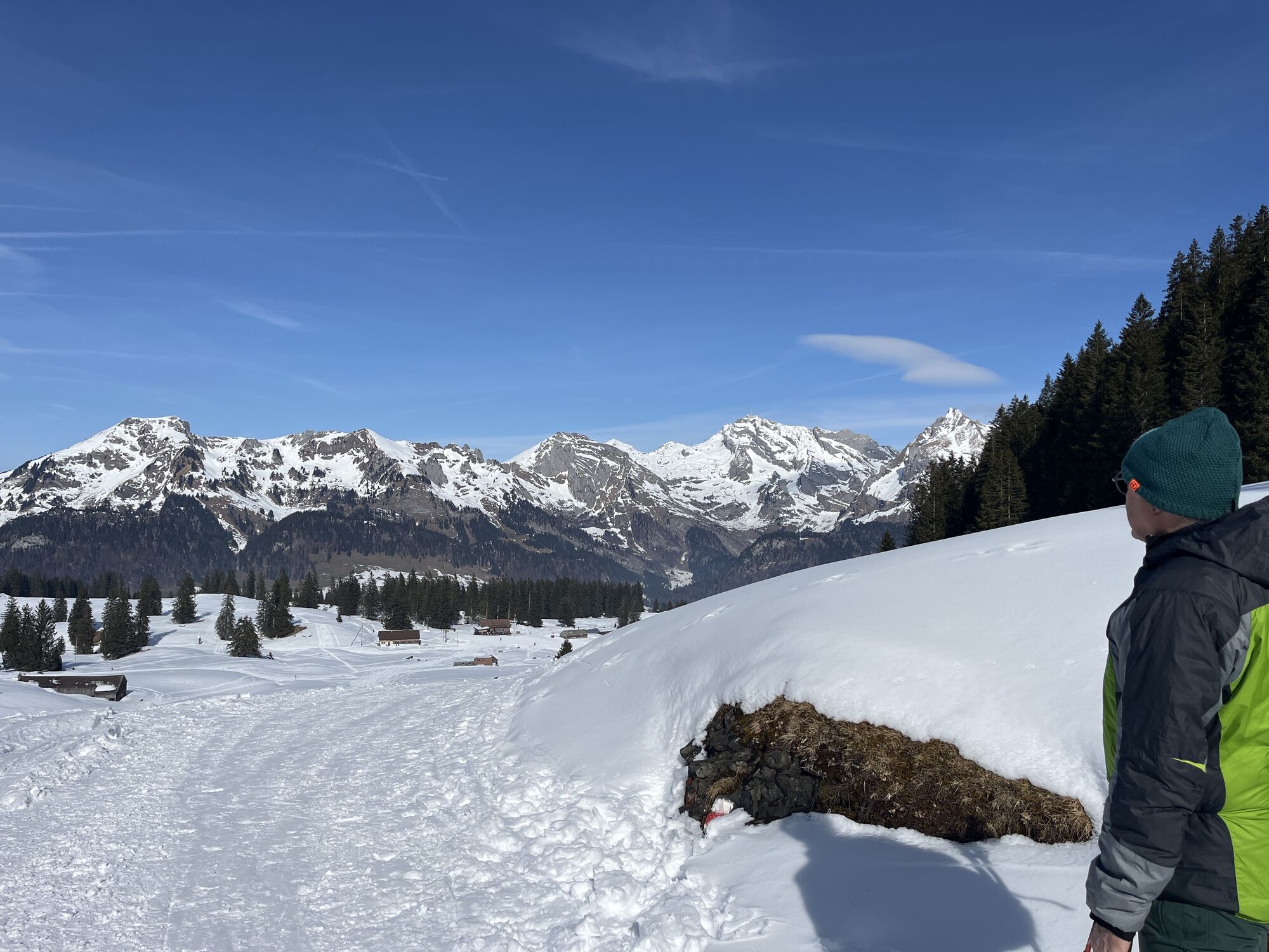

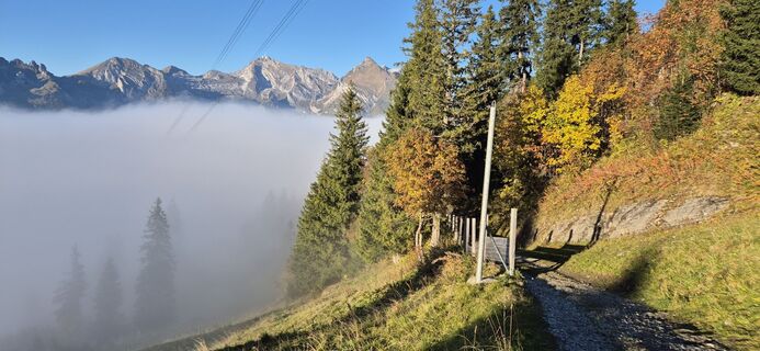
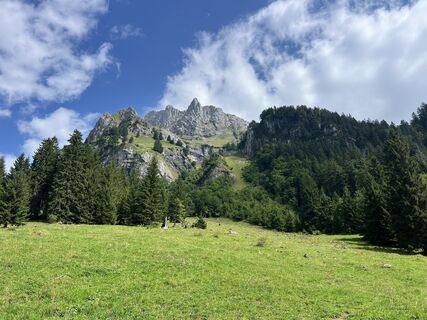
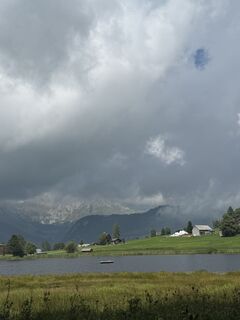
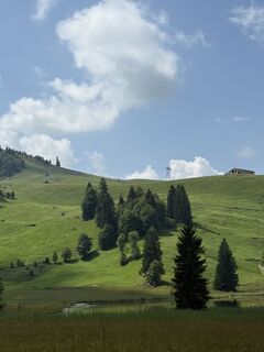
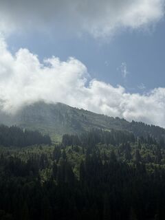
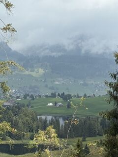
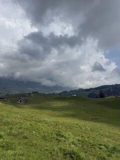
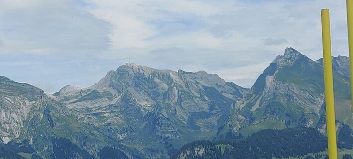
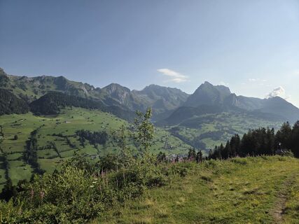
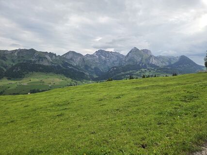
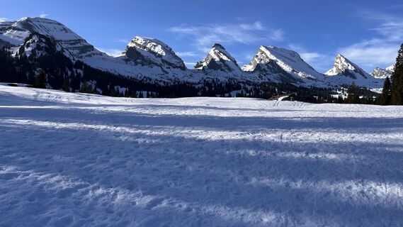
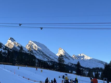
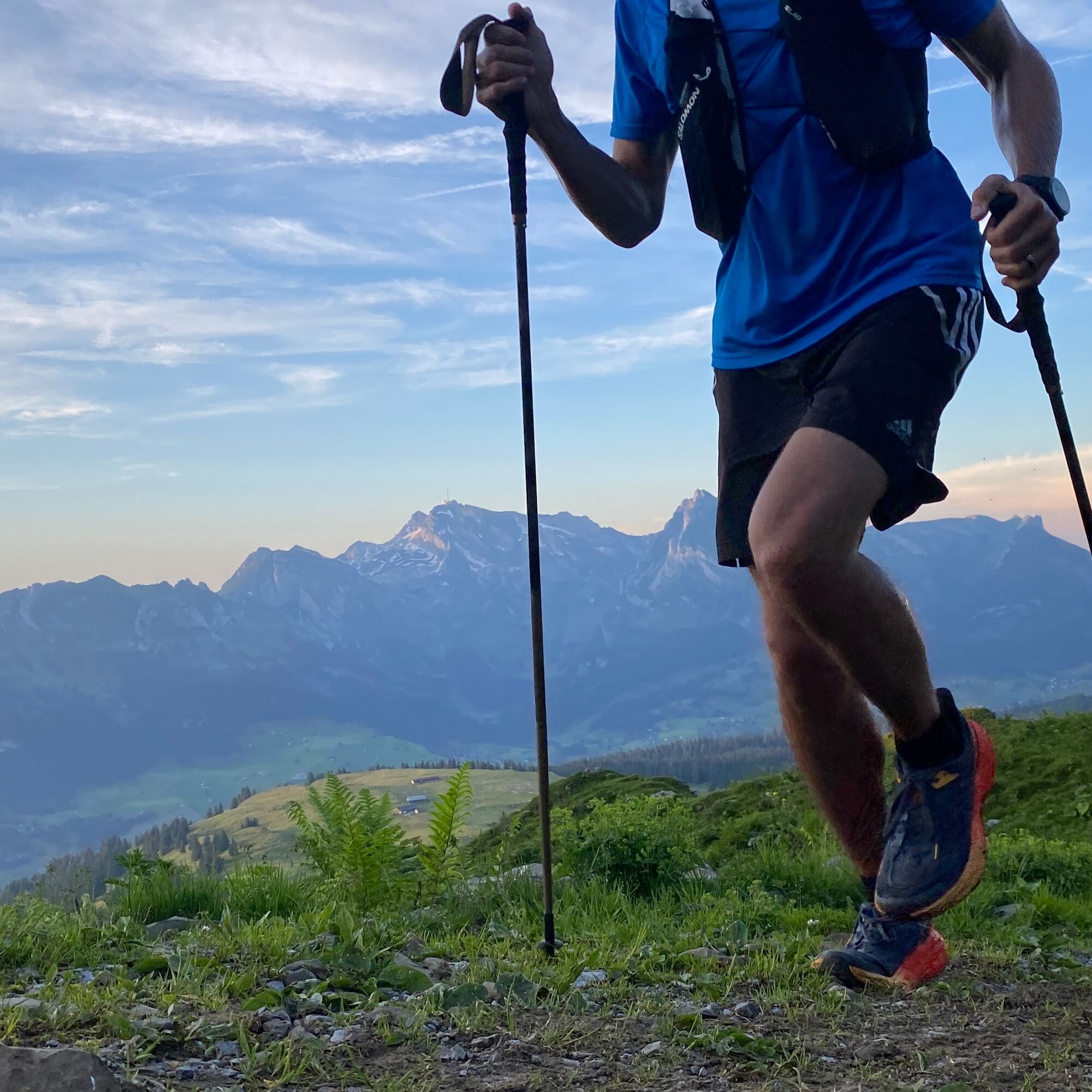
The Panorama Trail is for altitude lovers and offers a unique view from the Churfirsten to the Alpstein with Säntis, Wilduser Schofberg and much more. In the summer months, pleasant temperatures prevail...
The Panorama Trail is for altitude lovers and offers a unique view from the Churfirsten to the Alpstein with Säntis, Wilduser Schofberg and much more. In the summer months, pleasant temperatures prevail on the high plateau for sporting activities. The trail can also be walked leisurely.

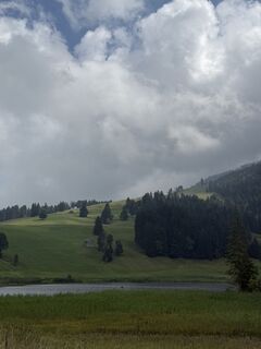
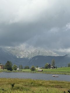
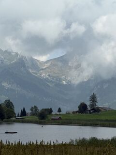
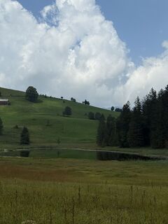
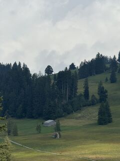
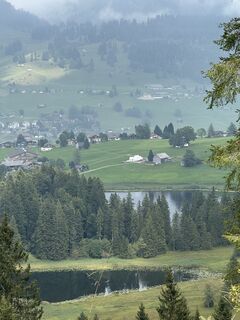
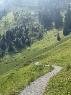
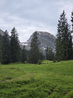
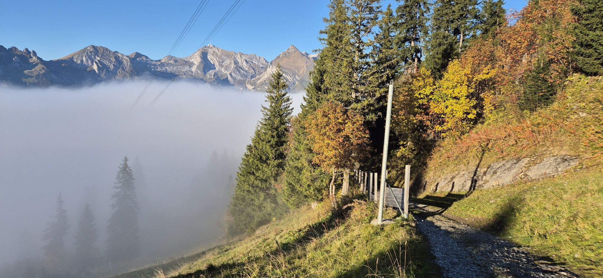
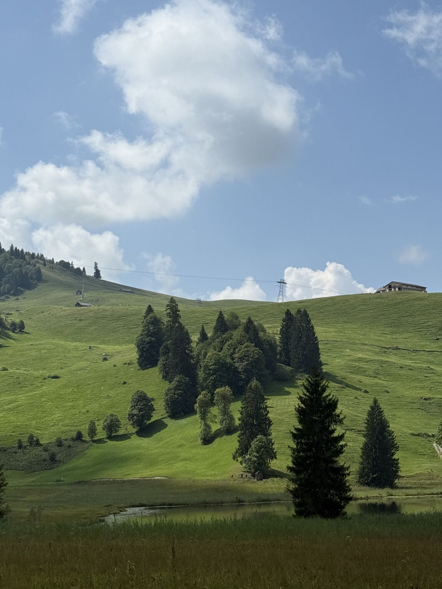
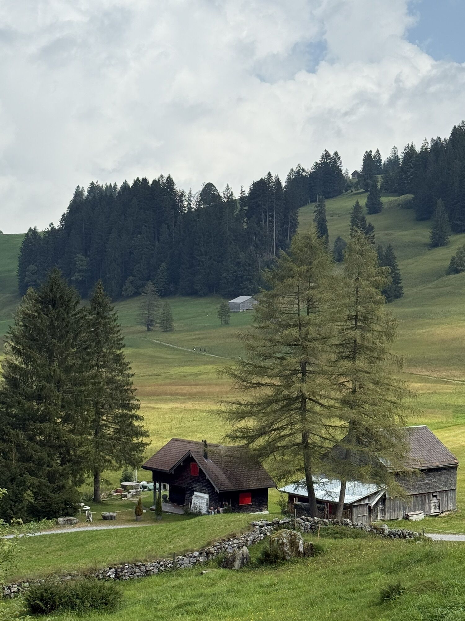
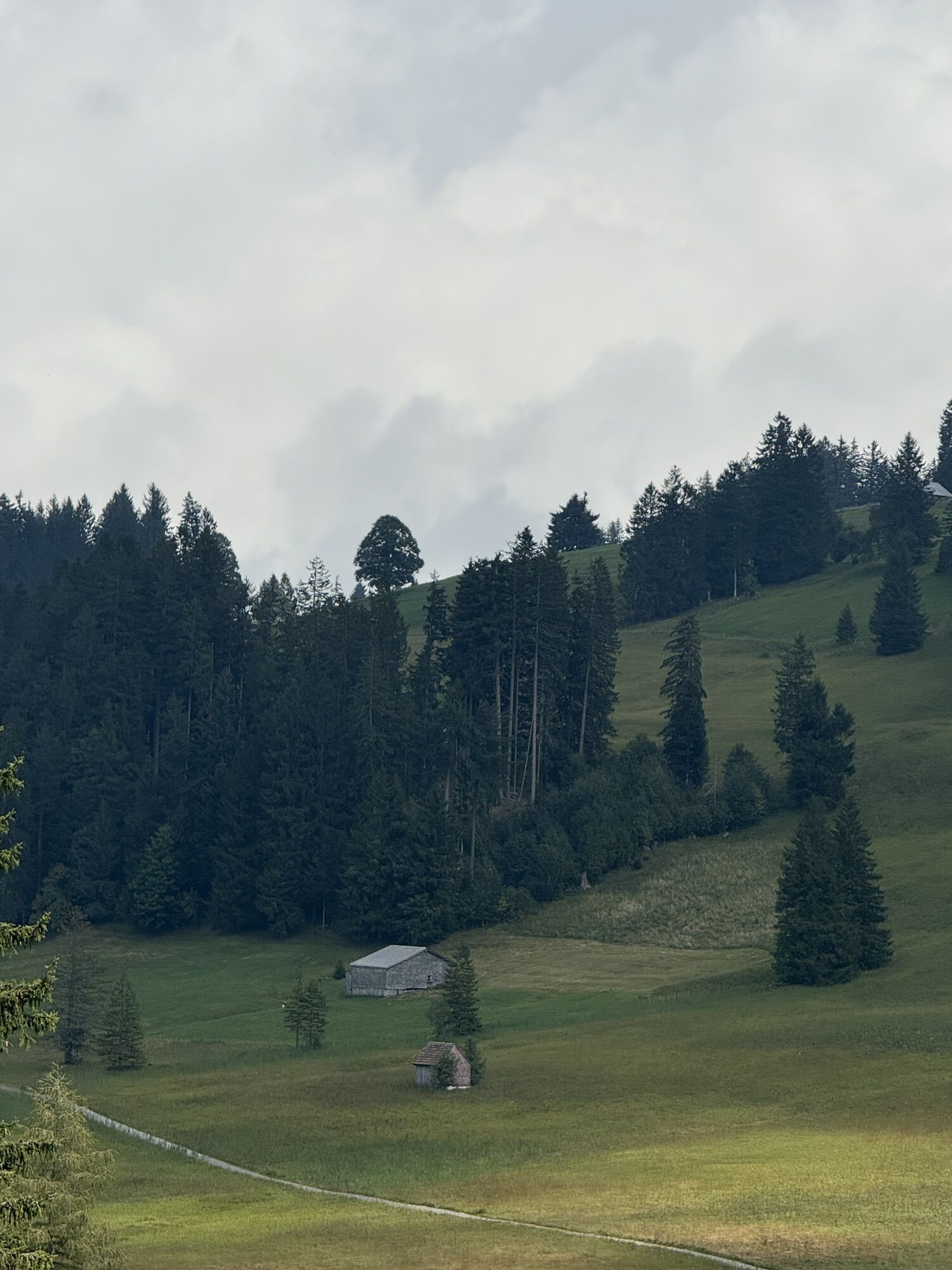
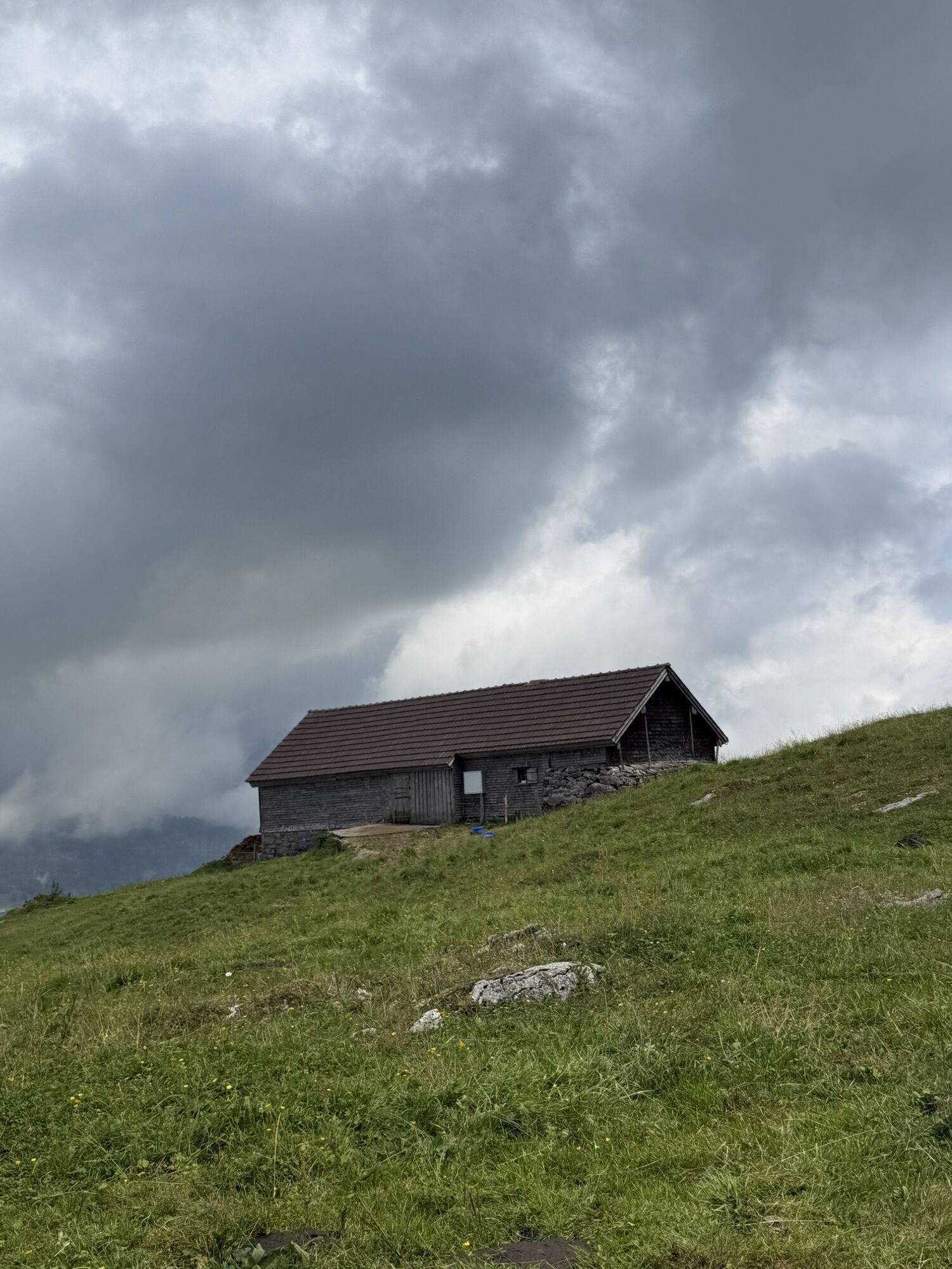
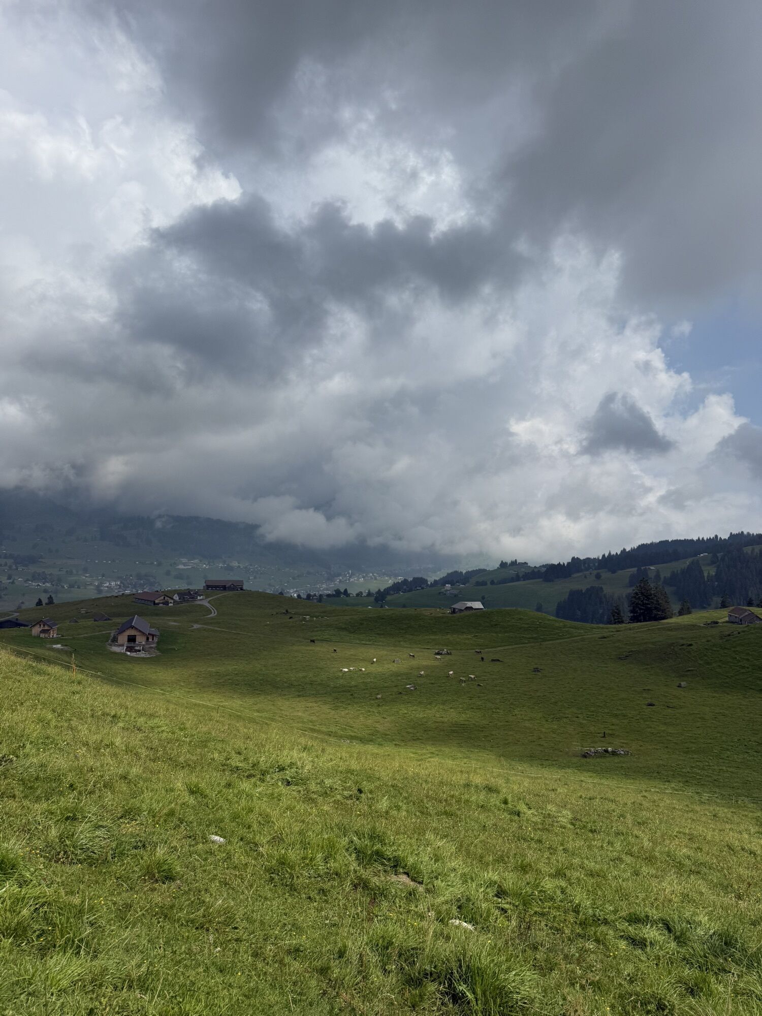
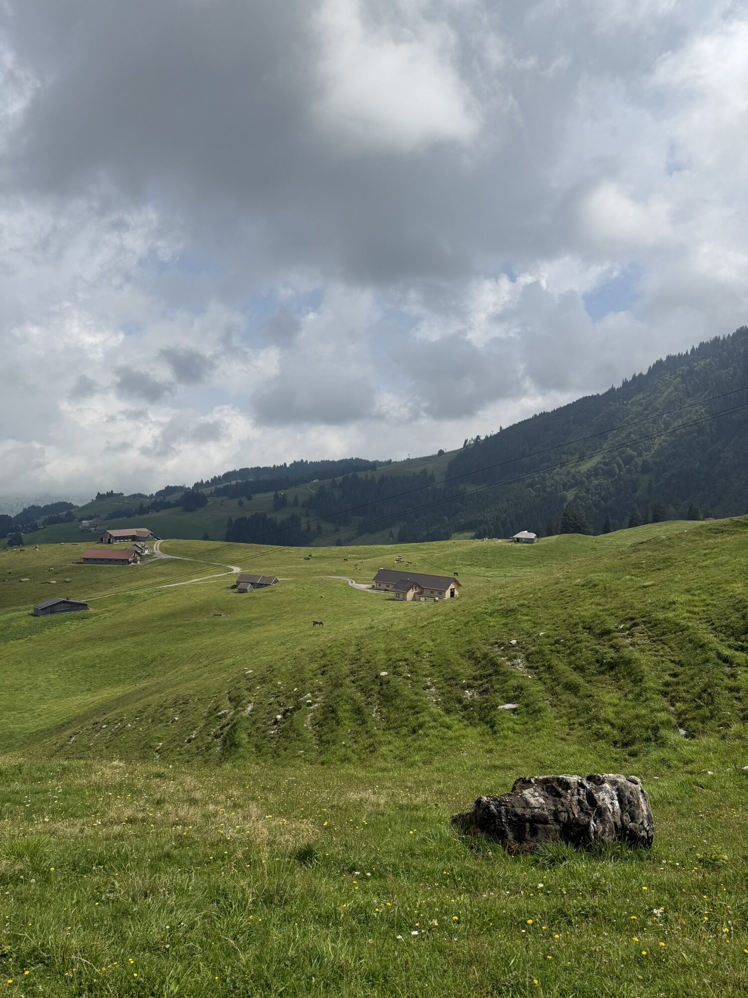
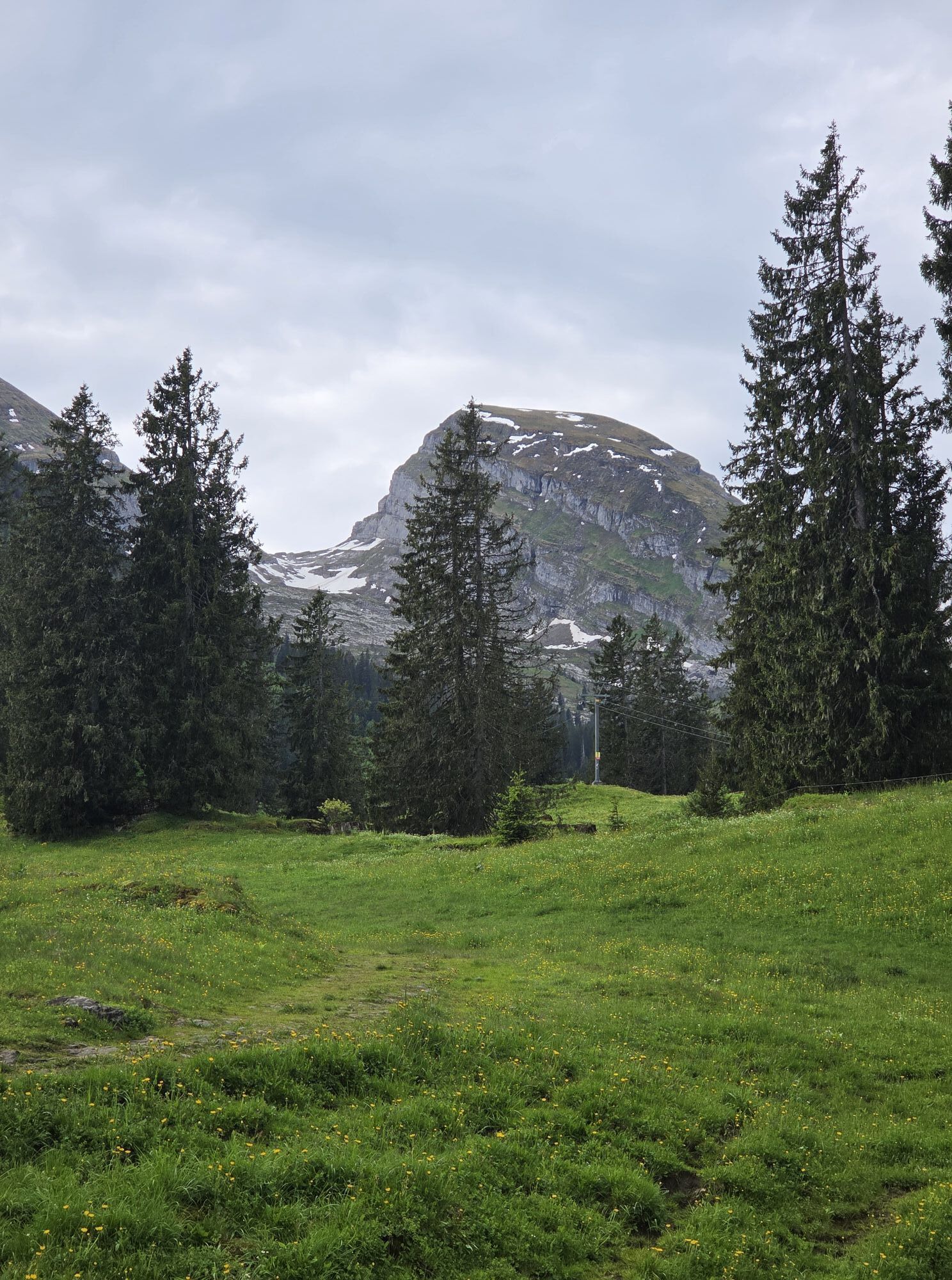
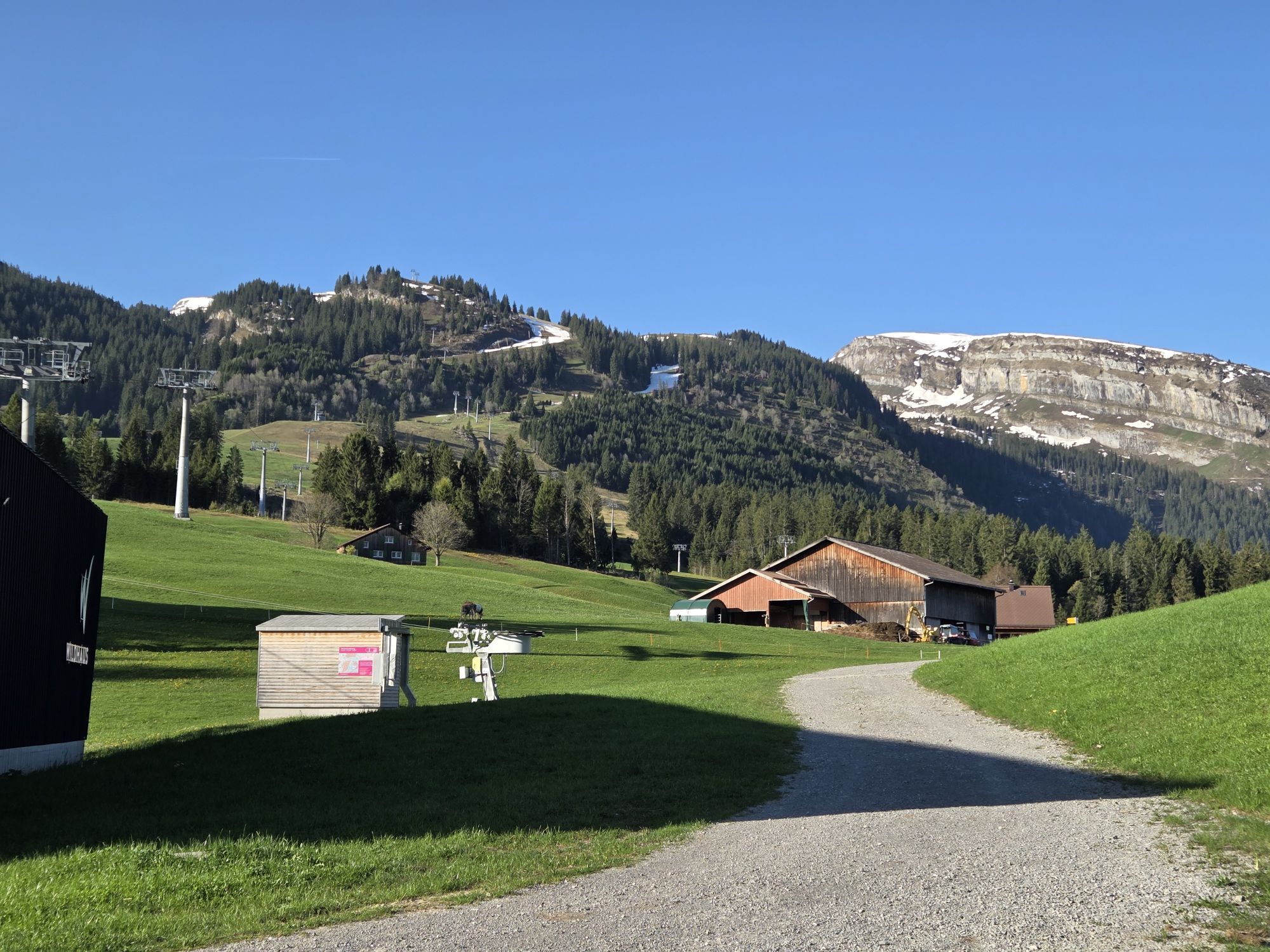
After starting in Munzenriet, the trail leads over Oberdorf to Stöfeli, passing the beautiful Schwendisee. The Stöfeli is also the highest point of the Panorama Trail. It then continues along the foot of the Churfirsten up to the height of Brisi, where the route loops back over Selamatt and Alt St. Johann near Unterwasser into the valley. The trail leads directly to the finish over Fabi.
Light running backpack (approx. 5 to 10 liters) with rain cover, trail running shoes, if necessary special running socks, weather-adapted and breathable clothing in a layering system, possibly trail running poles, sun and rain protection, provisions and drinking water, first aid kit, mobile phone
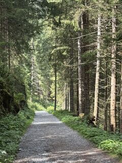
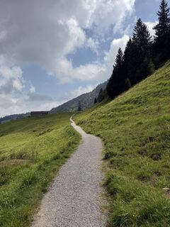
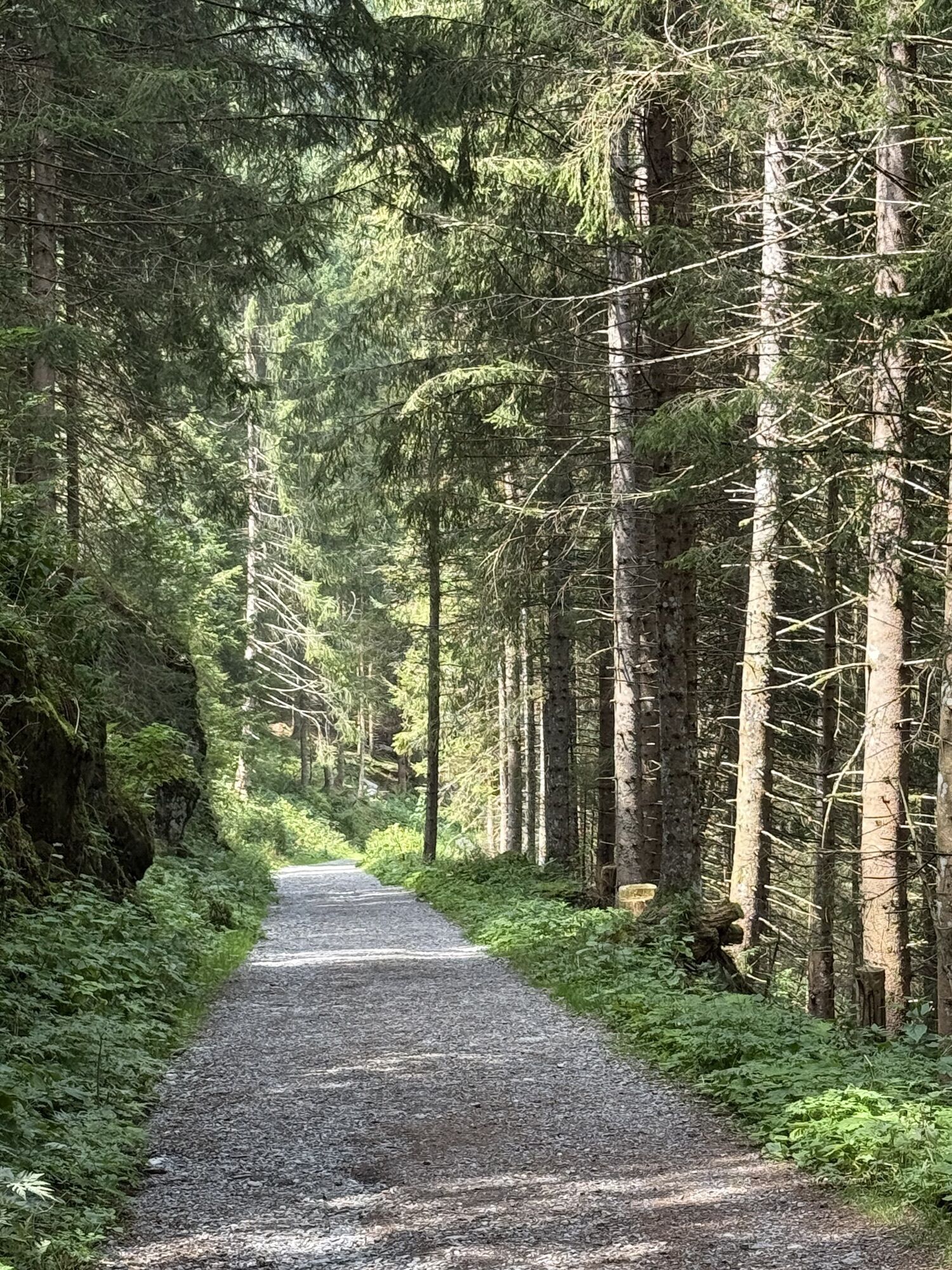
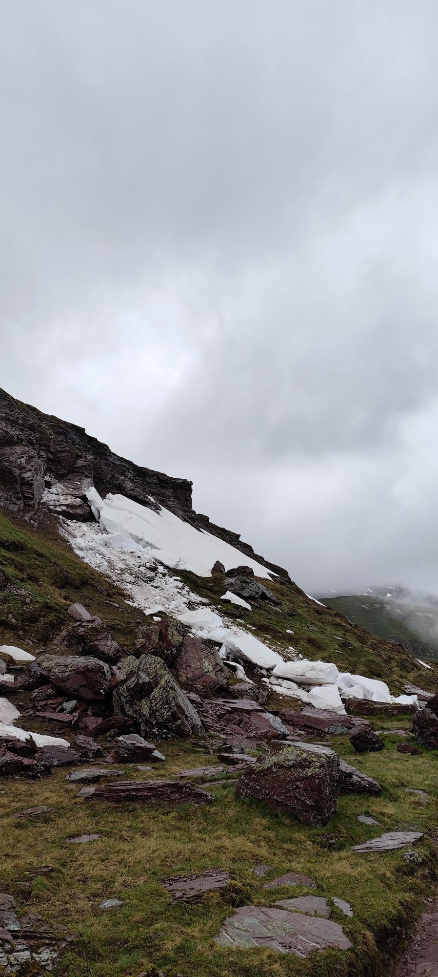
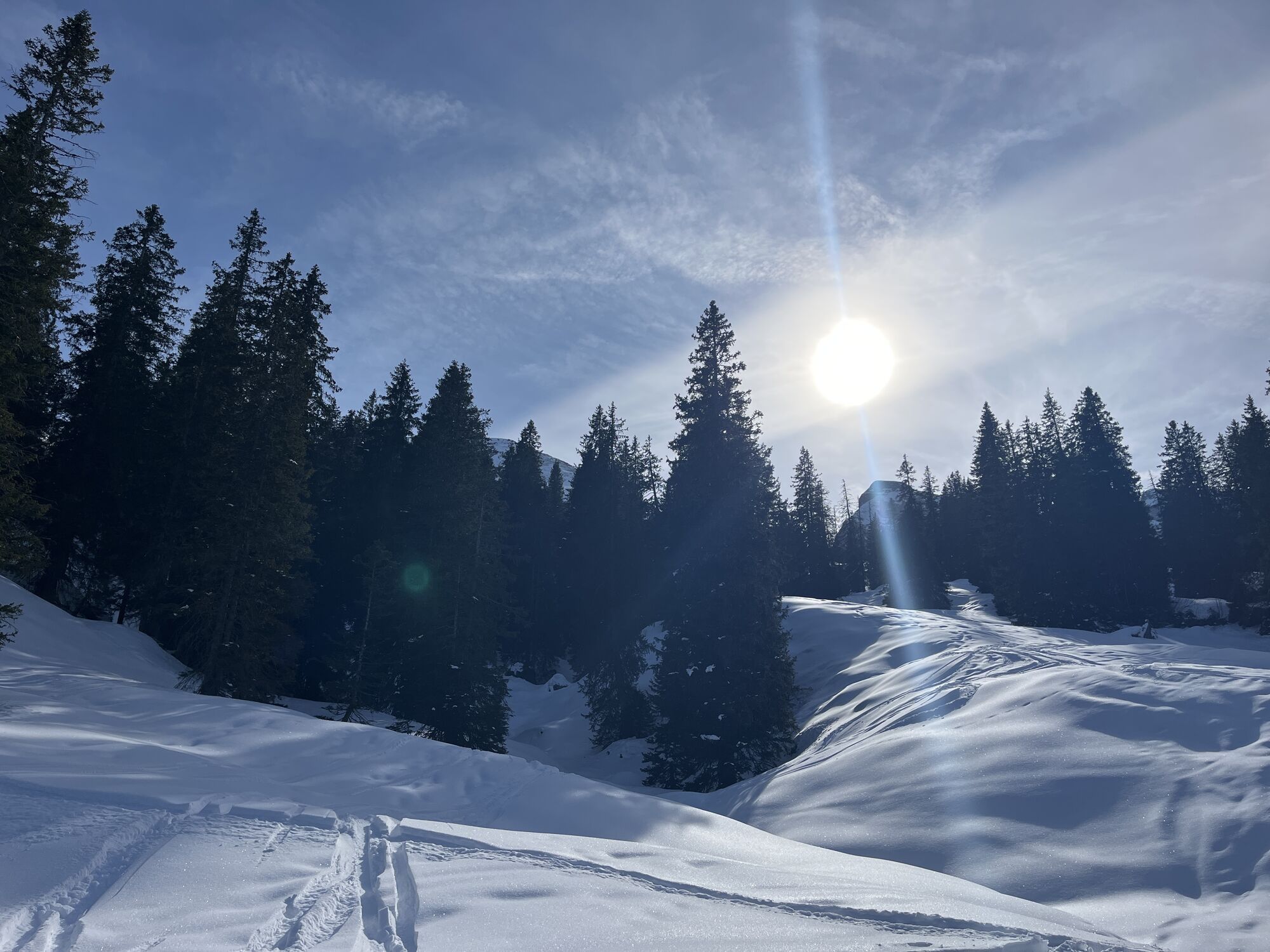
The trail is continuously in good condition and runs continuously on hiking trails. However, the trail is not signposted.
On the A3 at Reichenburg towards Rapperswil and then over the Ricken Pass to Wattwil. Then up the Toggenburg to Wildhaus. From Eastern Switzerland:
From St. Gallen to Herisau and further over the Wasserfluh to Lichtensteig. Or from St. Gallen to Wil, take the Toggenburg exit. Follow the main road to Wildhaus. From the South German area:
Via Bregenz and St. Margrethen on the A13 to Haag and take the exit towards Toggenburg/Wildhaus and follow the main road to Wildhaus.
This trail is accessible by train and bus.
Take the train to Nesslau-Neu St. Johann or Buchs SG, then the post bus to the stop "Wildhaus, Lisighaus". After that, a short walk leads to the Sport & Freizeit Zentrum Wildhaus where the trail starts.
A large parking lot is available at the trail start point.
T3
Toggenburg Tourism
Hauptstrasse 104
9658 Wildhaus
Tel.: +41 (0) 71 999 99 11
Email: info@toggenburg.swiss
Web: www.toggenburg.swiss
Information about the trail running event:
www.churfirstentrailrun.ch
To capture the unique view of the Churfirsten, a camera definitely belongs in the backpack.
Népszerű túrák a környéken
-
4,5
Tour Brülisau - Saxerlücke - Hoherkasten⛰
nehézKirándulás 16,6 km -
4,7
Riviera Walensee Walenstadt - Quinten
közepesKirándulás 10,4 km -
4,9
Säntis-Gipfeltour, Wasserauen / Appenzell Innerrhoden
nehézKirándulás 21,1 km -
4,6
Riviera Lake Walen Weesen – Quinten
közepesKirándulás 10,2 km -
4,7
Wasserauen - Seealpsee - Wasserauen
közepesKirándulás 7,71 km -
5,0
Staubern-Runde (15.8.2021)
közepesKirándulás 8,65 km -
4,5
Weesen - Quinten - Walenstadt
nehézKirándulás 20,6 km -
4,8
Seealpsee
közepesKirándulás 12,3 km -
5,0
Seealpsee Runde
közepesKirándulás 8,22 km -
3,0
Ebenalb, Aescher, Seealpsee, Meglisalp, Wasserauen
nehézKirándulás 13,6 km

Túrázás & nyomkövetés


Ne maradjon le az ajánlatokról és az inspirációról a következő nyaralásához!
Az Ön e-mail címe hozzá lett adva a levelezőlistához.