


Haldensteiner Calanda


The mountain tour to Vättis' local mountain is challenging and only recommended for experienced mountaineers. The very steeply ascending mountain trail leads from Vättis through dense fir forest over rocky...
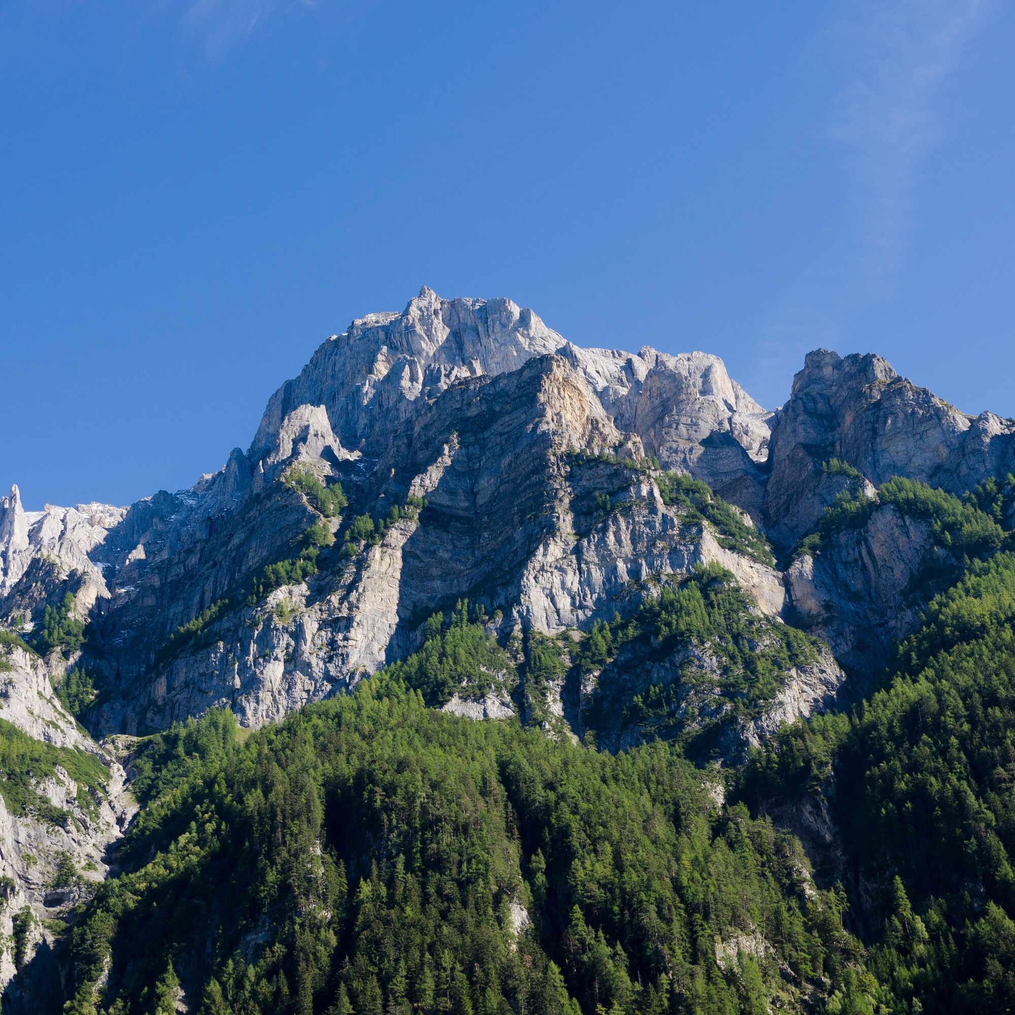
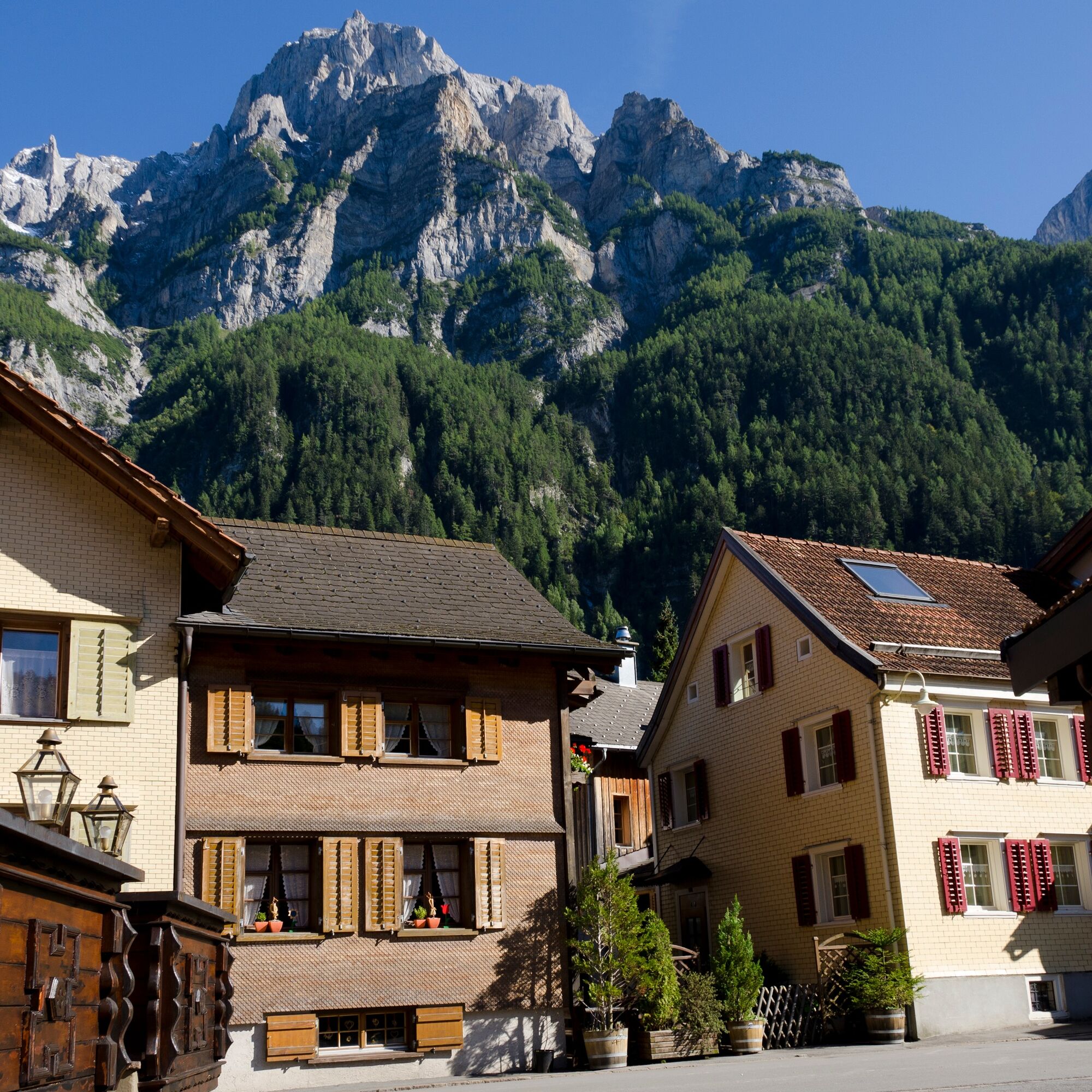
The mountain tour to Vättis' local mountain is challenging and only recommended for experienced mountaineers. The very steeply ascending mountain trail leads from Vättis through dense fir forest over rocky steps to Gonschrolaboden. You reach the Tüfelschilchli between imposing rock faces. After an easy, airy ridge hike of 1,862 meters, you reach the summit with a fantastic panoramic view. Calanda is home to a large colony of ibex, and you are almost certain to see the proud heraldic animals of Graubünden with their majestic antlers on every tour.

Vättis - Gonscherolaboden - Haldensteiner Schaftäli - Tüfelschilchli - Haldensteiner Calanda - Tüfelschilchli - Haldensteiner Schaftäli -Gonscherolaboden - Vättis
Descent options: Via Calanda SAC hut and to Vazer Alp (time 3h)
Igen
Igen
Normal hiking equipment, very sturdy mountain boots.
Some parts of the route can be slippery depending on the weather.
Take the highway exit Bad Ragaz and follow the mountain road in the direction of Pfäfers/Valens as far as Vättis.
Travel by train to Bad Ragaz and post bus to Vättis
Daily to Bad Ragaz, continue by bus 451 in the direction of Vättis, Dorf to the bus stop Vättis, Dorf.
Heidiland Tourism, Bad Ragaz information point
T +41 81 300 40 20
www.heidiland.com
Népszerű túrák a környéken
-
4,5
4-lake hike
közepesKirándulás 12,8 km -
4,8
Pizalun circular route
könnyűKirándulás 7,18 km -
4,6
5-Seen Wanderung am Pizol
könnyűKirándulás 10,1 km -
4,7
Pizol - Batöni - Weisstannen
nehézKirándulás 11,7 km -
5,0
Circular hike Bettlerweg & 2-Lakes Hike Pizol
közepesKirándulás 11,4 km -
4,5
Pizol summit tour
közepesKirándulás 9,28 km -
4,5
Bad Ragatz mit Taminaschlucht nach Pfäffers
közepesKirándulás 16,3 km -
5,0
Maienfeld-Fläsch Wine Route
könnyűKirándulás 12,3 km -
Summit quartet at Pizol
nehézKirándulás 18,6 km -
Flimserstein: Bargis - Naraus - Flims
nehézKirándulás 16,8 km

Túrázás & nyomkövetés


Ne maradjon le az ajánlatokról és az inspirációról a következő nyaralásához!
Az Ön e-mail címe hozzá lett adva a levelezőlistához.