


Tiirismaa route, Hollola


The protected mixed forests on the north and southwest slopes, the Soisalmi Marsh to the south, and the rocks of Pirunpesä represent the diverse nature of Tiirismaa. Pirunpesä has been a known attraction...
The protected mixed forests on the north and southwest slopes, the Soisalmi Marsh to the south, and the rocks of Pirunpesä represent the diverse nature of Tiirismaa. Pirunpesä has been a known attraction since the 19th century. The rock in the area is among the hardest quartzites found in Finland.
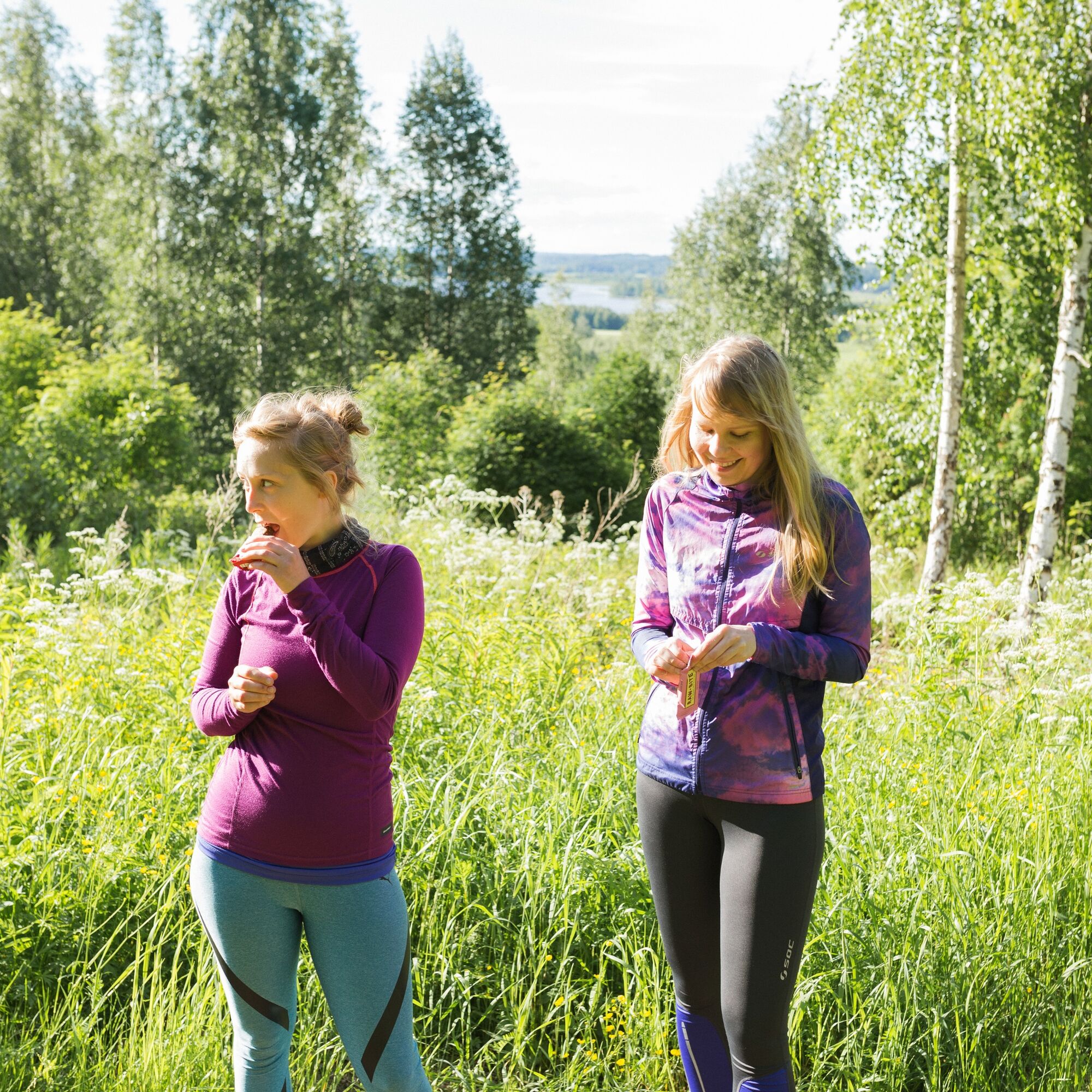
The Pirunpesä nature reserve was established in 1970 and is part of the Natura 2000 network. Due to the protection, many trees are very old, and beard lichens grow on their branches. Like the beard lichens, visitors and hikers can enjoy the fresh and clean air. Along the forest paths, it is worth taking a rest at the shelter of Martta’s hut to enjoy your brought provisions.

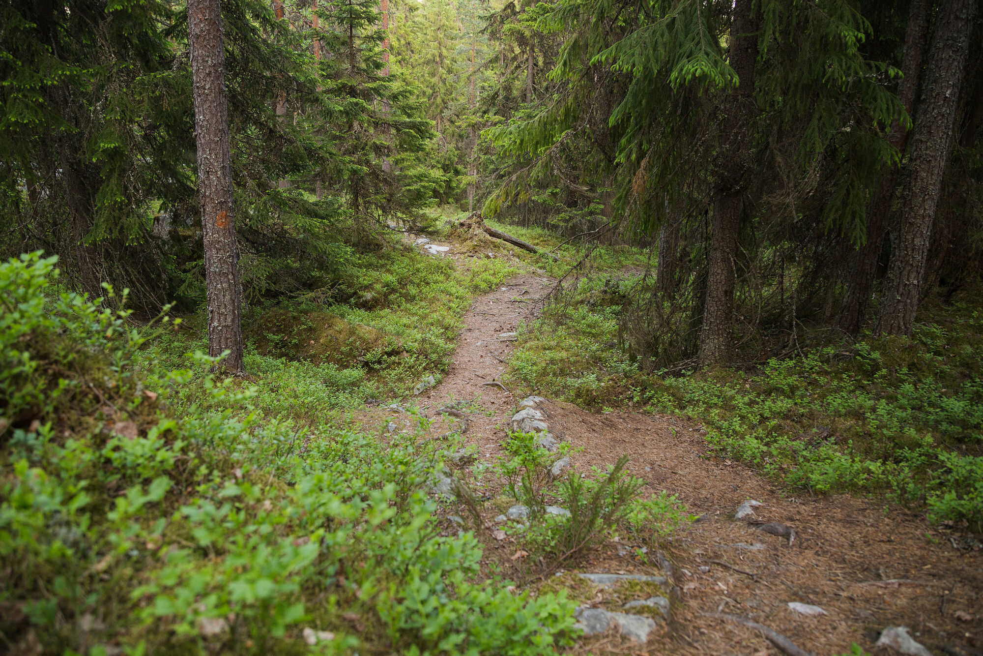

At the starting point of the Tiirismaa route, there is an information board about 50 meters from the parking lot. The route has red-orange markings on trees, making it easy to follow. Along the Tiirismaa route, there are information boards describing the landscape and nature shaped by the Ice Age as well as the significance of the region for the development of Finnish broadcasting.
From the starting point, the path runs a short distance over uneven terrain until it turns down to the left and leads to a small marshy pond. The path then leads right onto a wide forest road. On the left side lies the Soisalmi Marsh nature reserve.
After the wetland, the route goes uphill for a short distance until the path turns right into the forest—at this point, you can go about 100 meters straight ahead to visit a viewpoint that opens up a view of the lake landscape of Iso-Tiilijärvi.
The Tiirismaa route becomes narrower and rockier in the forest. Under the stones and boulders on the first incline of the path, an underground stream rushes, which can especially be heard in spring and late autumn. The path continues uphill through an atmospheric spruce forest. The moss floor of the forest glistens gracefully in a light green.
After the climb, you reach a crossroads, and the path continues over level ground. The path descends into a bright mixed forest interspersed with bracken. On the right side is a small marsh area. At its edge is a bench where you can rest and admire the marshland.
From this spot, it is only a short way to a forest road where you turn right and follow the markings until shortly afterwards you reach on the left side an incline leading to the shelter of Martta’s hut. Martta’s hut is located in a beautiful and quiet place in a young pine forest. At the shelter, there is a fire pit where you can take a good break before the final section.
After Martta’s hut, the path leads towards Pirunpesä. The terrain changes and is steep and rocky in places. As ground cover, the dominant species of the heath forest are blueberries and heather on drier rocky soils. Thanks to the nature reserve, many trees are quite old, and beard lichens grow on their branches, which thrive in the clean air and untouched nature.
When arriving at Pirunpesä, you first encounter a fire pit surrounded by wooden benches. There is no firewood provided at the pit, so bring your own if needed.
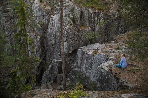
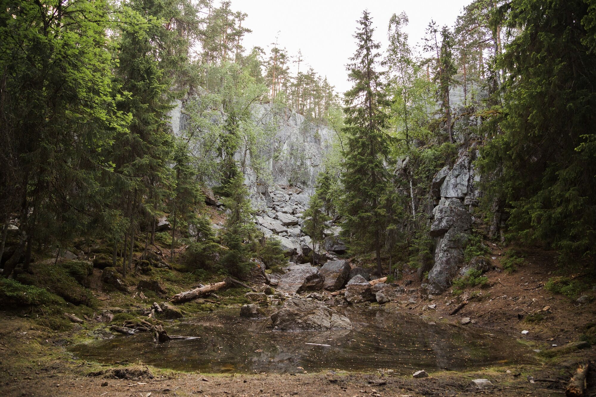
A little lower, the Pirunpesä gorge opens up. Pirunpesä is the highlight of the route and an impressive natural formation. The rock crevice is, in places, several meters wide and its walls up to 20 meters high. The Pirunpesä gorge formed from a ridge in the Tiirismaa bedrock, whose stone material weathered and broke apart over millennia.
At the end of the Ice Age, about 12,000 years ago, the southern edge of the continental glacier blocked the ice lake formed by meltwater on the north side of the Tiirismaa rocks. The Pirunpesä gorge formed when the waters of the ice lake broke through the ridge of the bedrock toward the south, carrying loose stone material with them. Fine-grained material was washed further away by the flow, but larger pieces formed a trough at the southern outlet as scree.
After Pirunpesä, the route continues for a distance on a wider forest path, then the path turns left into an atmospheric spruce forest until you return at the end of the route to the parking lot and endpoint.
Igen
Igen
You should bring appropriate equipment for making fires on the route. According to the founding charter of the Pirunpesä nature reserve, collecting material for fires in nature is prohibited. Firewood for a fire can be found at the shelter of Martta’s hut.
The route is partly easy but also challenging to hike. In rain and wet weather, the path can be slippery and puddles can form, so waterproof footwear is recommended.
The route includes partly difficult terrain with steep inclines and declines. The path is rocky in many places and interspersed with tree roots. Especially in wet and rainy weather caution is advised as tree roots and smooth stones pose hazards.
You can reach the starting point of the route by your own car. Coming from Lahti, drive Hämeenlinnantie about 7 km towards Hollola, then turn right onto Messiläntie and follow it about 1 km. Then turn right onto Televisiotie. Televisiotie changes after the Keskikankaantie intersection into Arvi Hauvosentie, and the Tiirismaa parking lot is located at the intersection of these roads.
From Lahti, you can reach near the starting point of the Tiirismaa route by bus.
More information (in English):
http://www.lsl.fi/english/
The parking lot and starting point of the Tiirismaa route is located very close to the intersection of Televisiotie, Arvi Hauvosentie and Keskikankaantie.
The Arvi Hauvonen street leads to the radio and TV mast of Tiirismaa. Arvi Hauvonen was a Finnish pioneer in the early days of radio transmissions who began his first radio broadcasting experiments as a young man in 1923. He moved to Lahti in 1926 and became the station manager there. In the same year, the Finnish broadcasting companies launched their own radio program. The large broadcasting station was completed in Lahti in 1928, and Finnish radio broadcasts could be received in large parts of the country. Lahti was the first state transmitter, and with its completion, the transmitter network in Finland was further expanded.
More information (in English):
Visit Lahti
www.visitlahti.fi/en
Radio and TV Museum, Mastola
https://www.lahdenmastola.fi/en/
The medieval fieldstone church located on the beautiful shore of Lake Vesijärvi in Hollola, the Church of Saint Mary, is nowadays the historic center of Päijät-Häme. It still ranks among the most significant medieval churches in Häme and is the most popular attraction in Hollola. Every two years, the medieval society of Hollola brings the Middle Ages alive with a medieval event held in the authentic surroundings of the church.
The Kapatuosia castle hill on the north side of the church can be reached via marked nature trails and stairs. From the observation tower at the top of the moraine formed by an Ice Age glacier, you have fantastic views over the lake landscape of Hollola.
Népszerű túrák a környéken
-
Lake Vesijärvi from Hollola to Asikkala
közepesKajak / Kenu 22,9 km -
In the landscapes of Vesijärvi - paddling from Messilänranta, Hollola and Lahti
közepesKajak / Kenu 18,9 km -
On the waters of Hollola's Kirkonkylä, Hollola
közepesKajak / Kenu 24,4 km -
Enonsaari - Selkäsaaari route, Lahti
közepesKajak / Kenu 11,0 km -
Hollolan kirkon lenkki, Hollola
közepesOrszágúti kerékpározás 36,3 km -
I love Vesijärvi -melontareitti, Lahti ja Hollola
közepesKajak / Kenu 25,0 km -
Hahmajärvi Nature Trail, Hollola
könnyűTanösvény 1,96 km -
Lake Vesijärvi route by motorcycle, Lahti
Motorkerékpár 79,3 km -
Lahti Health Forest - Metsälenkki
könnyűTanösvény 3,59 km -
Kapatuosian nature trail, Hollola
könnyűTanösvény 2,24 km
Túrázás & nyomkövetés


Ne maradjon le az ajánlatokról és az inspirációról a következő nyaralásához!
Az Ön e-mail címe hozzá lett adva a levelezőlistához.