


CANDIA Lake Candia MTB loop
Nehézségi szint: S1


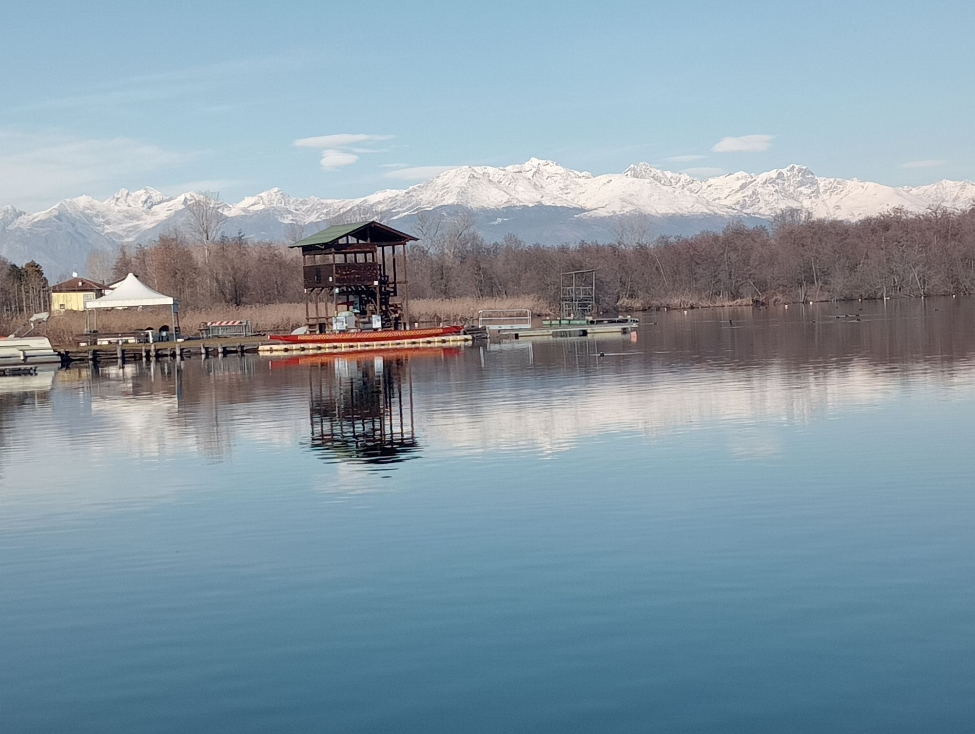

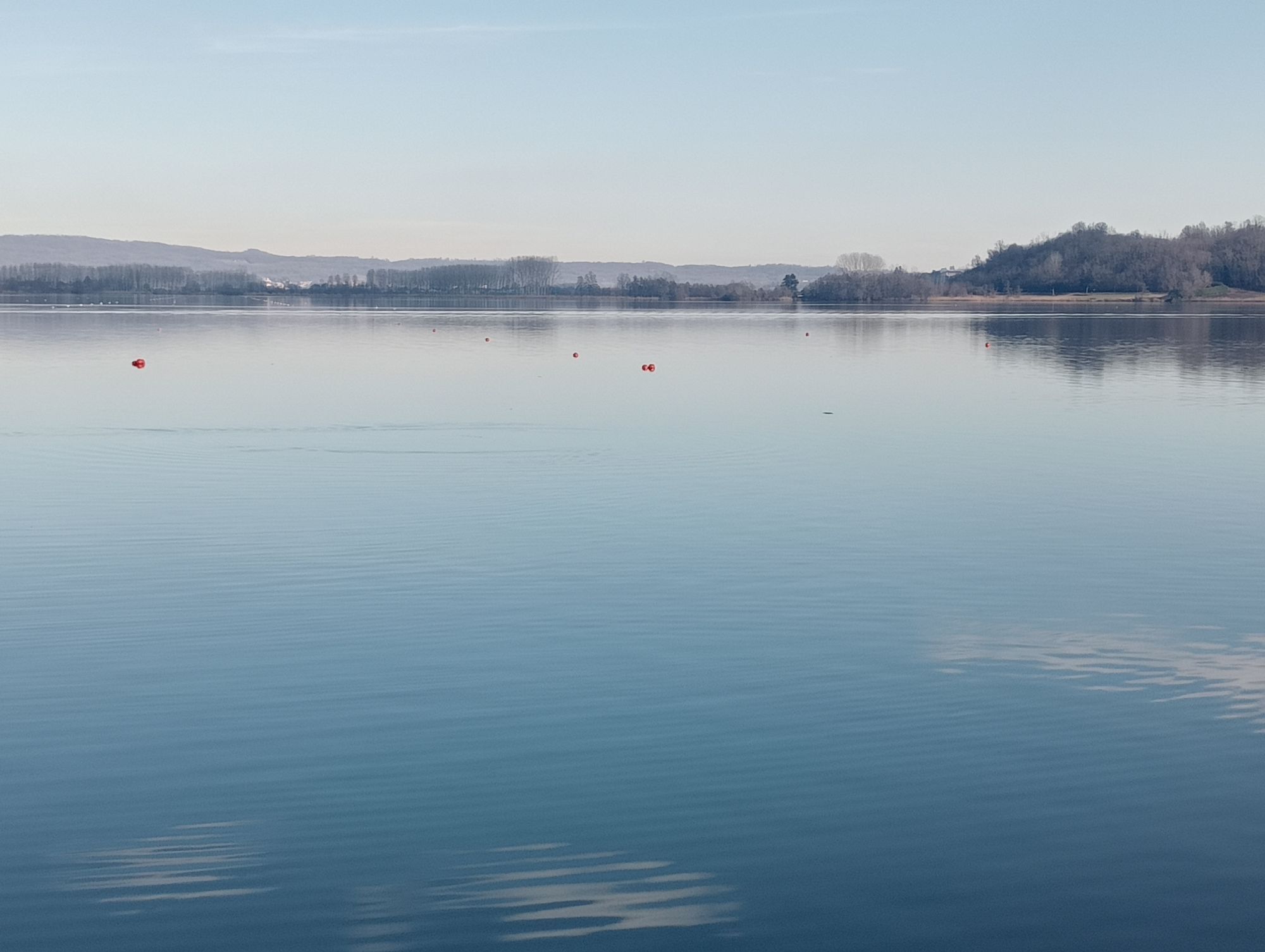
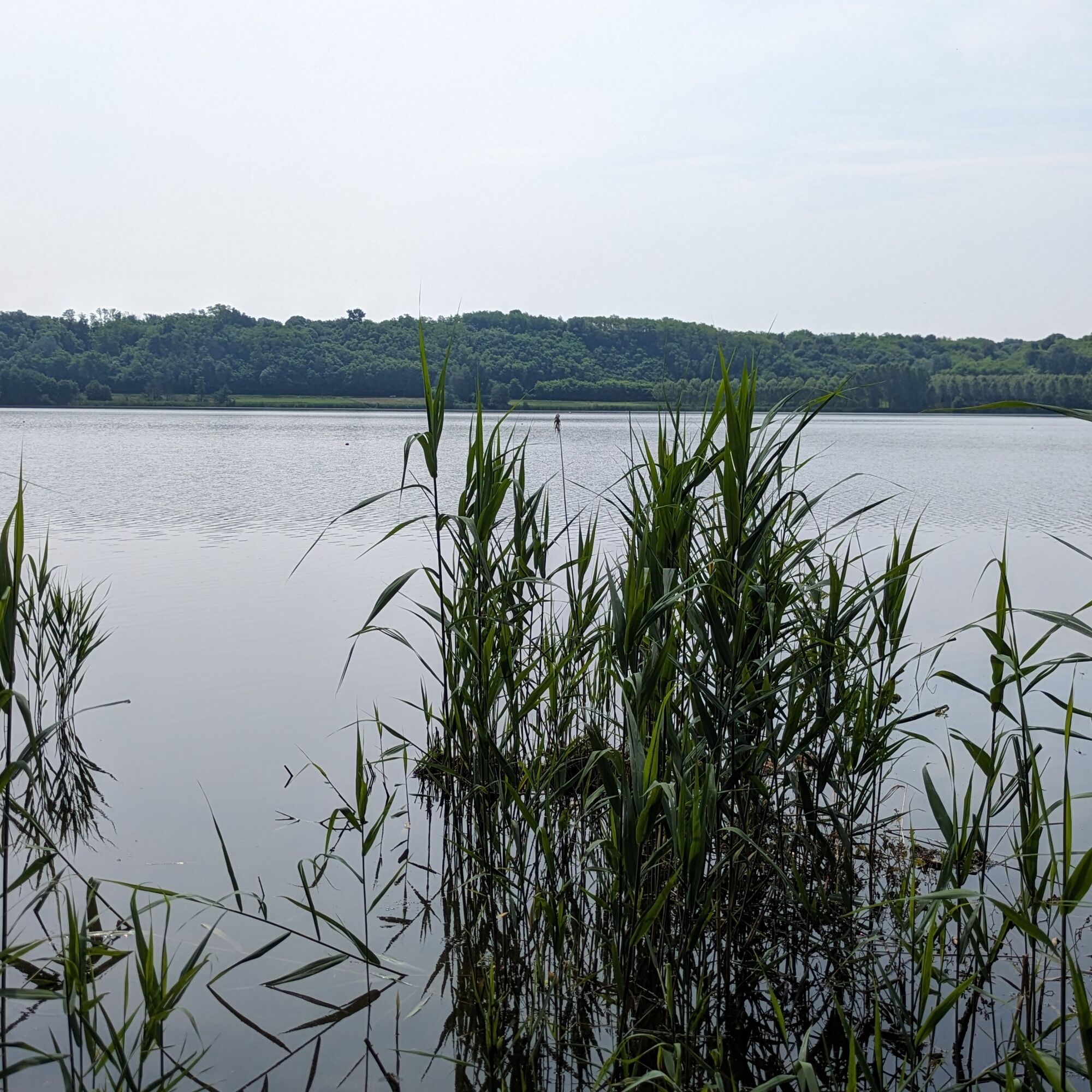
A loop that allows you to cross the protected areas of the Natural Park of Lake Candia consisting of marshes, reeds, and woods. The area around the lake basin has maintained high naturalness and is an...
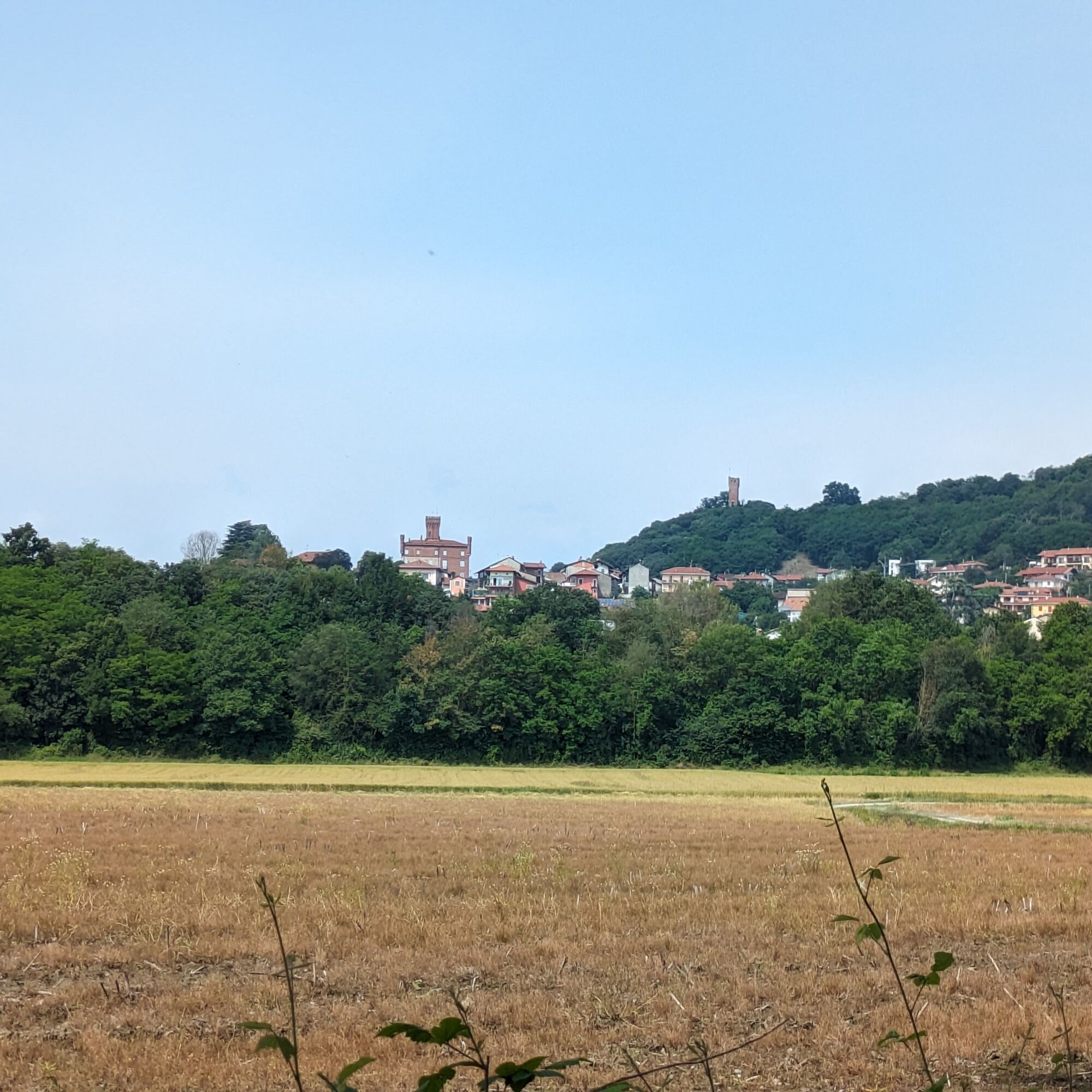
A loop that allows you to cross the protected areas of the Natural Park of Lake Candia consisting of marshes, reeds, and woods. The area around the lake basin has maintained high naturalness and is an important site for migratory birds and more (included in the lists of SAC/SPAs according to the European "Habitat" directive).
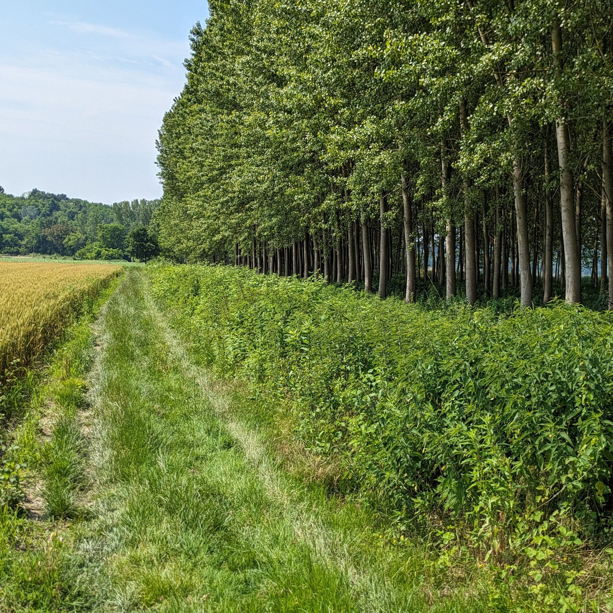
The first part of the route is flat, using secondary and white roads. In the second part, you climb the adjoining hills using a rougher path that leads to vineyards and hill crops, offering splendid views.
The loop is also recommended for walkers.
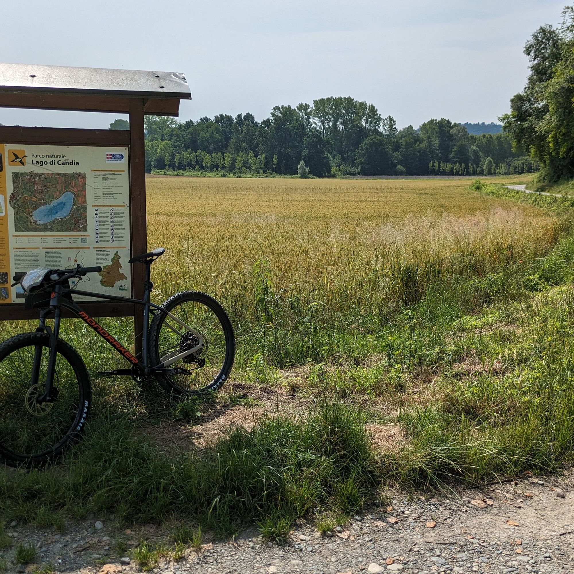
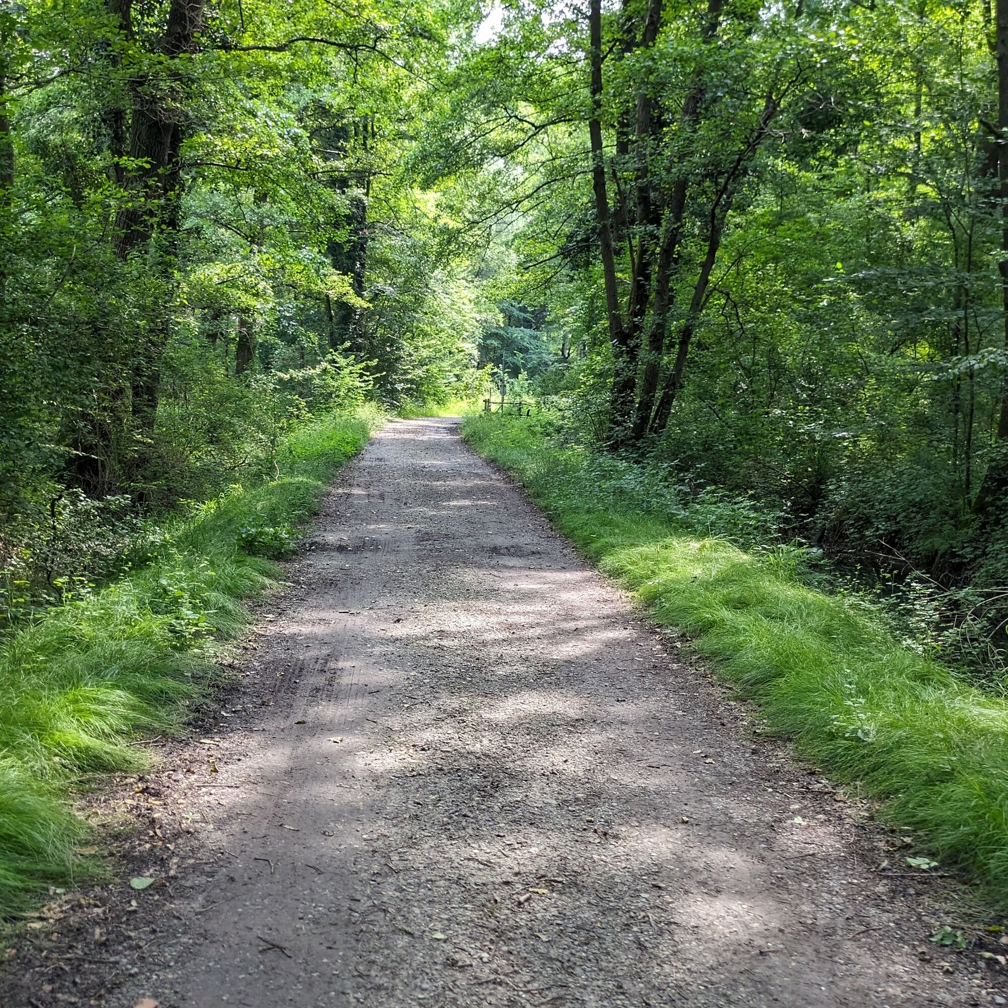
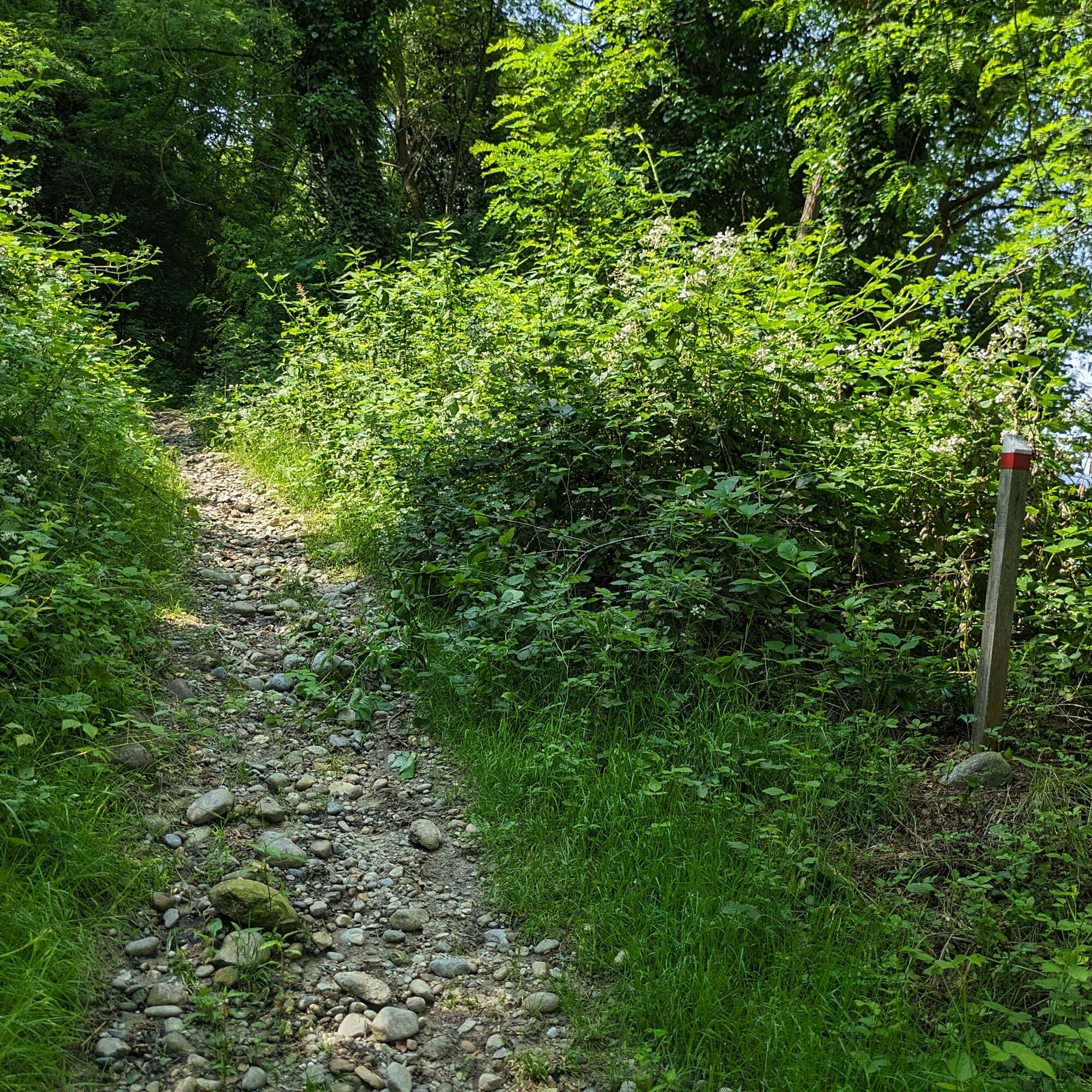
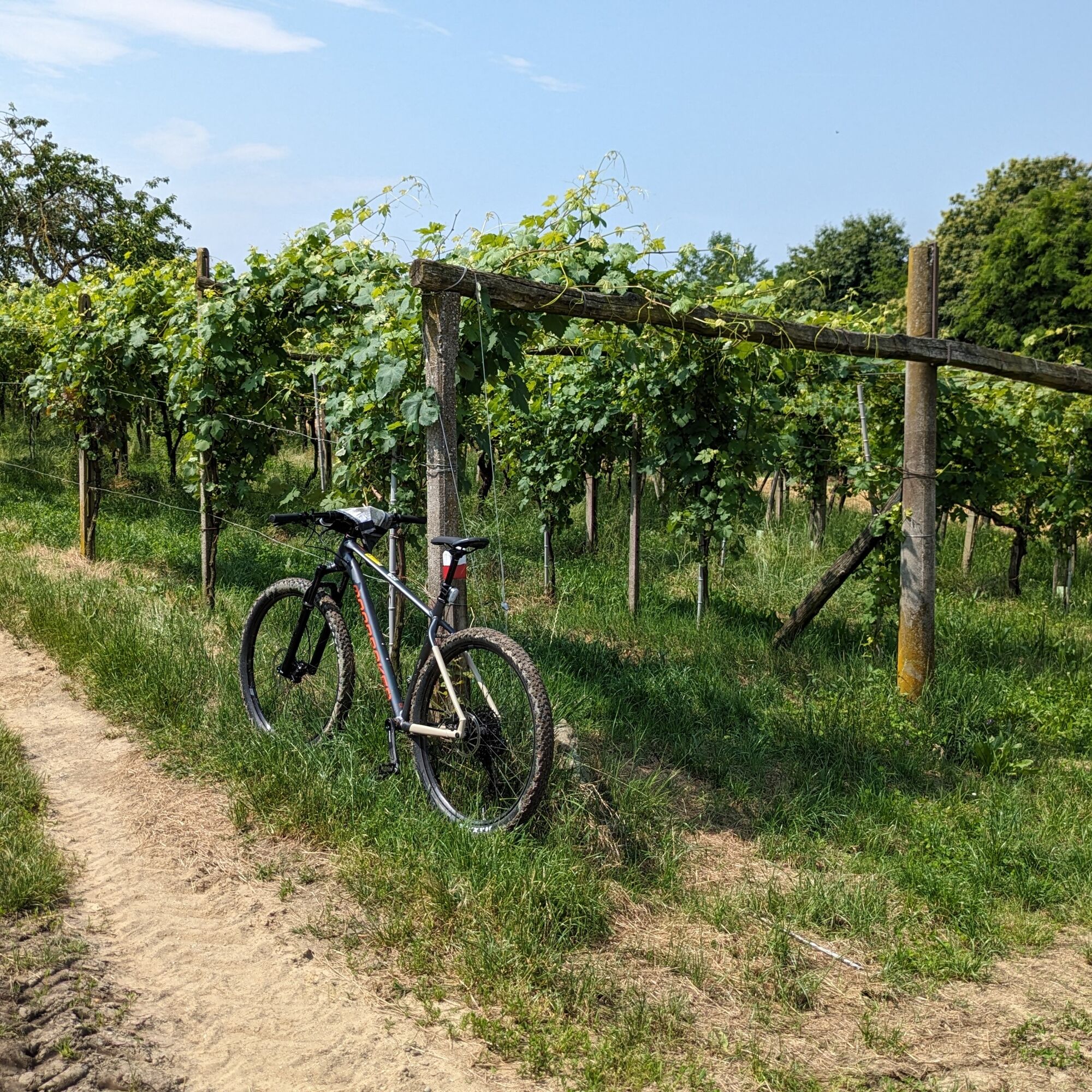
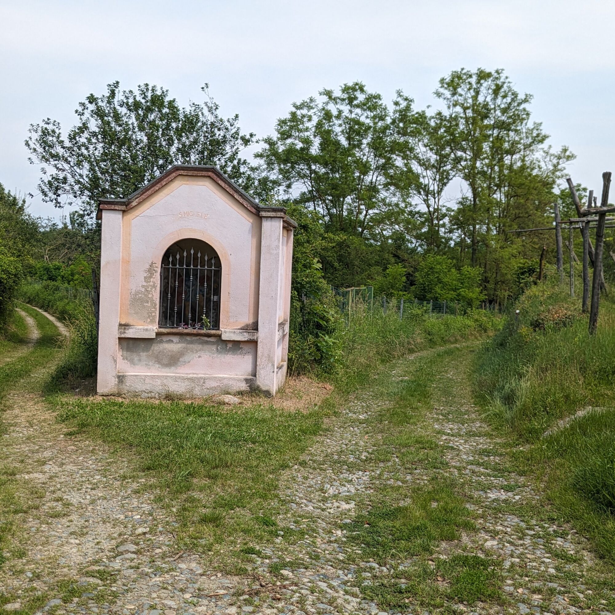
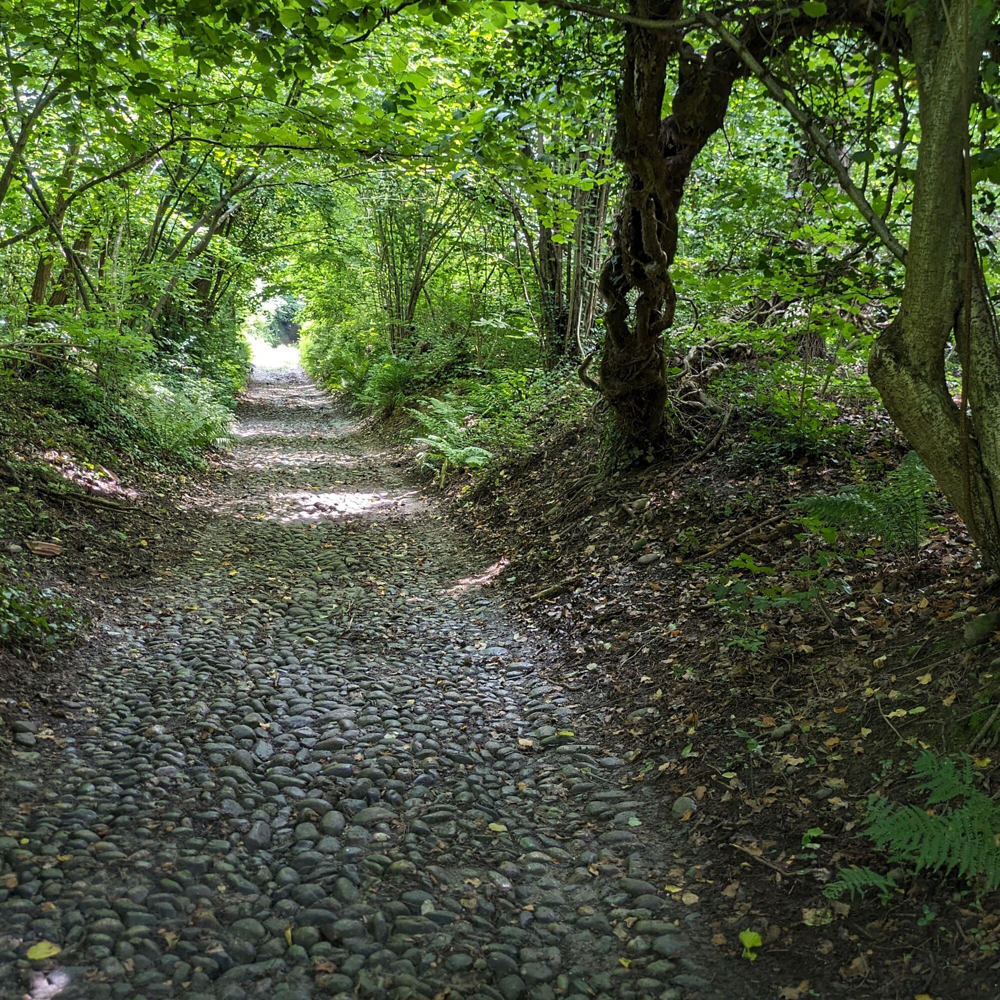
Follow the road below Rivara to a crossroads (there is a park noticeboard) where turn right onto the dirt road that circles the lake, keeping right at the two junctions. Then cross SP 84 and take the cobblestone path that ascends into the woods. You will reach a vineyard area. After a short flat stretch alongside a vineyard, the road gently descends on an old cobblestone pavement. At a junction continue straight and follow the "MTB girolago" signs. After a slight descent the path crosses a dirt road in the Cascina Palantina area: turn right and follow it to the right and shortly after leave the road, which by now has become paved, for a path on the left (MTB signs): the path immediately climbs a little then turns right and stays flat, emerging onto provincial road 84. Cross it and continue on the dirt road which then becomes cobblestone, passes under the railway and emerges in the vineyards. Upon reaching the chapel of San Michele turn right making a "U"-shaped turn. After a short descent turn left and after a few turns reach a protected aqueduct area and then a junction: turn right and at the junction with a dirt road turn right again. Shortly after you reach a junction with the lower road to Candia: turn right. Ignore a MTB deviation and upon reaching the junction in the Fassola area turn right on the cobblestone road that leads near the starting point.
Bicycle helmet, bicycle pump, puncture repair kit, headlight and reflectors, bicycle tools, bicycle backpack (about 20 liters with rain cover).
Adequate outdoor clothing resistant in multiple layers (e.g. functional t-shirt, cycling jersey, shorts), bike glasses, gloves, sun and rain protection, snacks and drinking water, water bottle and comfortable holder, first aid kit, synthetic ice, mobile phone, maps.
You have to cross a main road several times: be careful and make yourself visible.
In rainy seasons the lower part can be very muddy: it may be convenient to extend the route passing through cascine Rossi and Pratoferro.
A5 motorway exit at San Giorgio Canavese, follow signs for Caluso and Candia.
There is a large parking lot at Lido di Candia. The route begins about a hundred meters beyond.
S1
For all tourist information please consult the Tourism in Canavese web portal.
For naturalistic information on the protected area: see the webpage of the Lake Candia park of the Metropolitan City of Turin (managing body)
Before undertaking any excursion, it is recommended to check the weather reports or ask for information at local Tourist Offices.
It is good practice not to undertake an excursion alone, always inform someone of your destination.
Do not litter but carry your waste with you, possibly collecting any left by others.
The indicated travel times are approximate and may vary depending on weather conditions and individual abilities.
Near the starting point you can practice various sports and outdoor activities as well as take naturalistic visits in the park.
Népszerű túrák a környéken
-
Ring of the ancient Balteo Glacier
közepesTávolsági kerékpározás 195,4 km -
VIALFRÉ Morena West Loop
közepesMountainbike 22,2 km -
MAZZE' Lake Candia and Masino Castle Loop
közepesBiciklizés 44,8 km -
CALUSO Lake Candia Loop Morena West
közepesBiciklizés 31,0 km -
IVREA Anello Ivrea - Viverone
közepesTávolsági kerékpározás 52,4 km -
TORRE CANAVESE Nature Route
könnyűKirándulás 6,71 km -
CASTELLAMONTE Morena Ovest Loop
közepesBiciklizés 35,3 km -
Devotional Route - Torre Canavese
könnyűKirándulás 6,58 km -
Grand Tour UNESCO Arc 1 | From Avigliana to Biella
nehézTávolsági kerékpározás 197,2 km -
Grand Tour UNESCO by Bicycle
nehézTávolsági kerékpározás 659,6 km

Túrázás & nyomkövetés


Ne maradjon le az ajánlatokról és az inspirációról a következő nyaralásához!
Az Ön e-mail címe hozzá lett adva a levelezőlistához.