


The Strade dei Forti - stage 5 from San Germano Chisone to Perosa Argentina
Nehézségi szint: T1


You pass through hamlets immersed in mid-mountain vegetation. From San Germano, continuing along the Verdeacqua path, which follows the course of the Chisone stream, you climb the heights of San Germano...
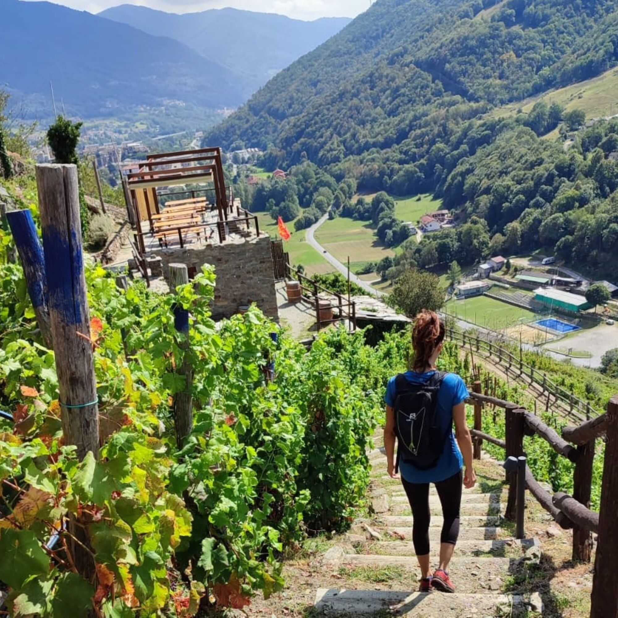
You pass through hamlets immersed in mid-mountain vegetation. From San Germano, continuing along the Verdeacqua path, which follows the course of the Chisone stream, you climb the heights of San Germano Chisone and Inverso Pinasca, along pleasant wooded trails. You reach the hamlets of Pomaretto, a village in the lower Val Germanasca. Well-maintained trails, visitable vineyards of Ramìe wine, the zipline "The Dahù Flight", up to the well-kept and flower-filled historic center.
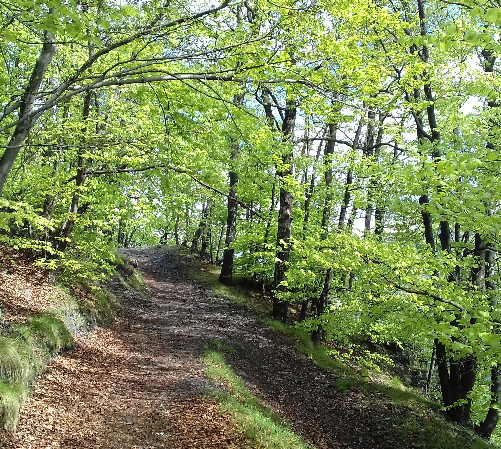
Some sections are truly pleasant to walk, savoring the coolness and silence that the forest offers.
From the center of Pomaretto, a detour is recommended to visit the educational vineyard of Ramìe and taste the wine at the "Ciabot".


In San Germano village center, take the narrow and characteristic via Molino with some murals, follow it downhill until the end of the paved road, then continue on the dirt road that curves slightly to the right. At this point, follow the indicated naturalistic route Verdeacqua accompanied by interesting explanatory panels. Alternatively, you can shorten the route a bit by taking the dirt road that cuts through the meadows to reconnect with the naturalistic route a few hundred meters further on. At the fork, turn left and follow the dirt road. Shortly after, upon reaching the sign indicating the return of the naturalistic route, take a trail to the left that crosses the meadows, moving away from the Chisone stream. Climb towards the provincial road and, once reached, turn left to take the ascending road on the right after a few meters, following the sign to the hamlet Marchisa.
With some steep sections, you reach the top of the hamlet from which you can enjoy a beautiful view of Villar Perosa and the surrounding mountains. The last hairpin bend turns into a short and steep dirt section before becoming paved again. At the next hairpin, take the dirt road on the right. This soon turns into a beautiful mule track surrounded by fresh and shady vegetation among hazelnut trees, hornbeams, and ferns.
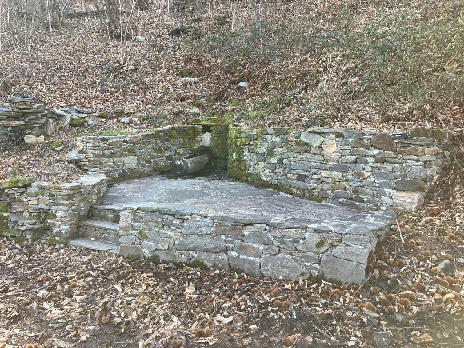
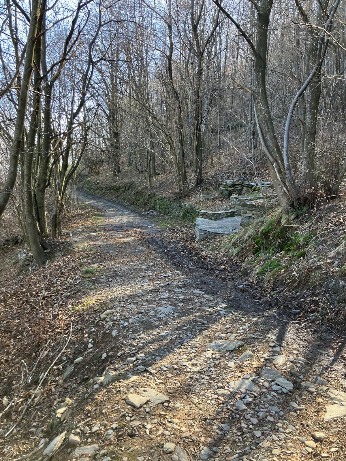
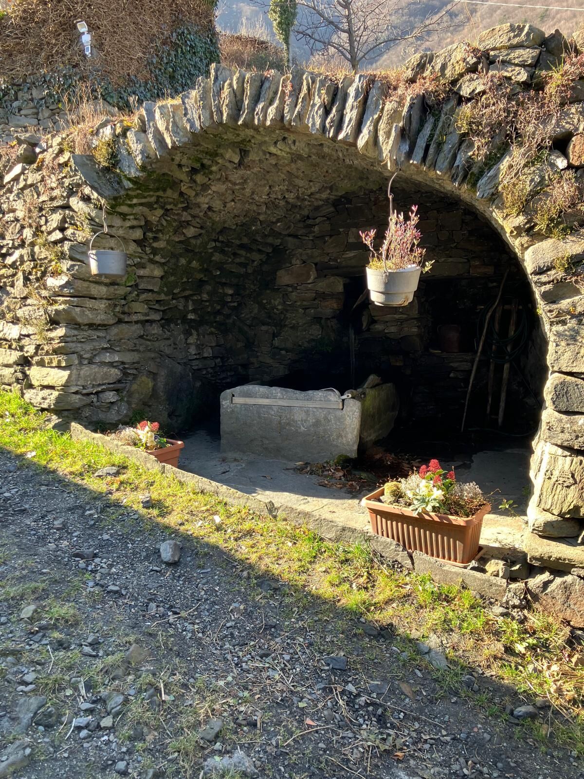
Follow the main road, well defined by dry stone walls, a sign of how much these woods were once frequented. Upon reaching a plateau called Pra Pons, it is easy to realize that this is a perfect place for a break and a snack! Here there is an Alpini hut, a building from 1788, and a fountain with fresh water.
After the break, continue along the mule track that skirts the Alpini building and at the fork, turn right. Shortly after, you encounter a beautiful panoramic spot. Follow the mule track which, with ups and downs, leads right above the hamlet Saretto (Inverso Pinasca), ignoring various service paths that branch off. Just when you see the paved road of the hamlet, the route turns slightly to the left and continues on the gentle mule track.
Walking further, shortly after passing the sign with the Forts Roads signage, you reach a fork where you take the right to continue on the contour path.
The next fork you come across allows for some freedom of choice: the two roads that split there actually rejoin after a few hundred meters, so you are free to choose which to follow!
The route continues and near the hamlet Peyrot, the mule track forks. Take the left to reach, after a few meters, the paved road and follow it to the last houses before returning to the mule track. Pay attention to the next fork: it is necessary to keep to the contour path on the right to reach the hamlet Serre. Here a beautiful fountain provides refreshment and space for a well-deserved break. When you resume walking, leave the hamlet behind and just after the houses, take a road to the left, where you will again find the Forts Roads signage.
At the first curve, leave the road to take a lovely small path that winds to the right. Continue to a junction where you take the uphill path on the left. With a series of steep hairpin bends, you reach the hamlet Valentine. Beyond it, the comfortable mule track leads to Enfous following the MTB trail. Crossing the beautiful hamlet, you easily find the mule track that continues. For this section, the "Strade dei Forti" route coincides with the Dahù Path.
After about a hundred meters, be careful to take the mule track that climbs on the left. The trail climbs about a hundred meters in elevation, crosses a stream, then continues level and downhill to the hamlet Clot Boulard. From here you reach Pomaretto via a paved road, and if you wish, you can use some short trails to cut the last hairpin bends. You pass close to the parking area for the start of the Dahù Flight.
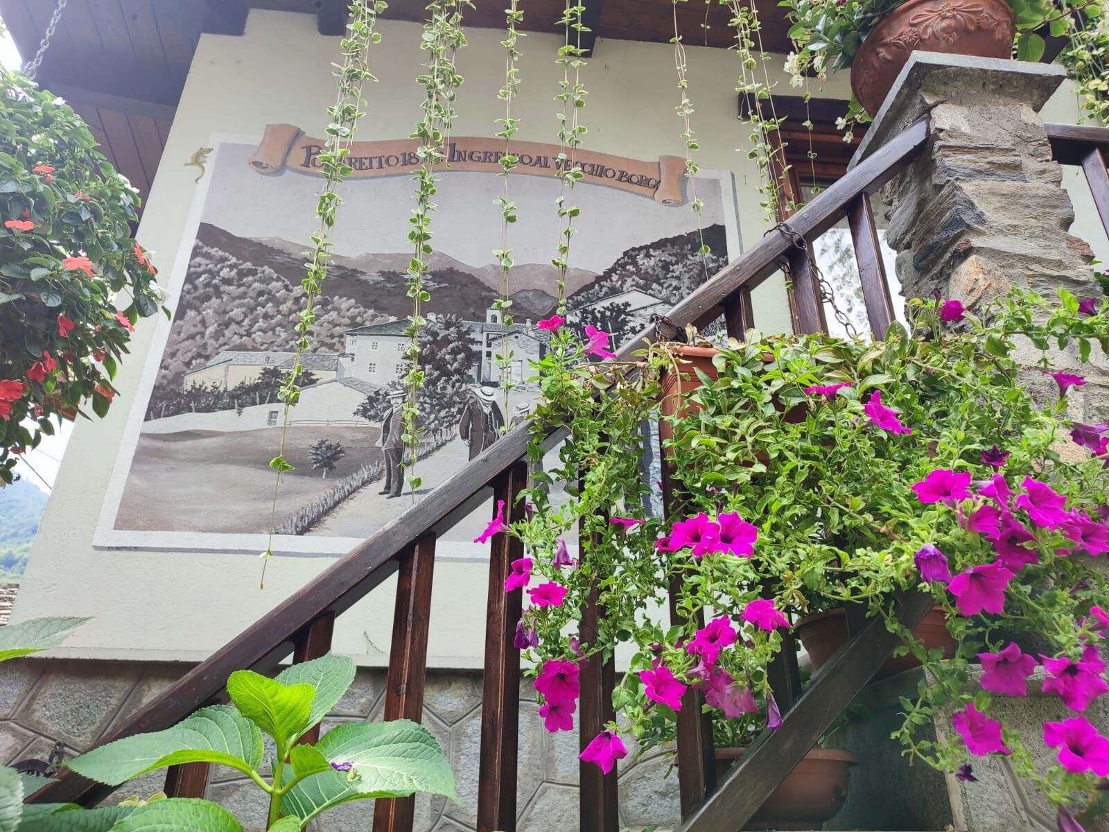
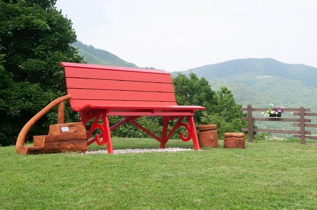
Arriving in Pomaretto, take via Balziglia to cross the beautiful old village among flowers and murals that color and decorate the whole center, passing in front of the Latin School, home of the Museum of Ancient Crafts, and at intersections with paths leading to the Ramìe vineyards and the Big Bench of Pomaretto.
Finally, after descending again and crossing the historic center, continue along the path inside the green area along the stream that connects with the start of the next stage, at Perosa Argentina.
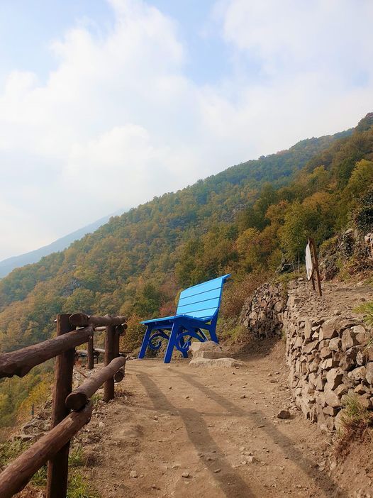
Inside Perosa Argentina, it is possible to visit the air-raid bunkers and the Poggio Oddone which hosts the Municipal Park of Resistance and Peace “Alessandro Griglio”, located in a very open and panoramic place that enjoys a beautiful view of the lower Val Chisone from its Big Bench.
Igen
Wear clothing and footwear suitable for the environment and the season.
Water points at the start, Pra Pons plateau, fountain at Borgata Serre.
Getting to San Germano is easy by following the A55 for those coming from Turin. From Pinerolo, follow the signs to Sestriere (SP23) and turn left towards San Germano Chisone.
Bus www.torino.arriva.it
There are parking lots in the center of San Germano Chisone, but it is still a small village.
T1
Before undertaking any hike, it is recommended to check weather reports or ask for information at local Tourist Offices.
It is good practice not to hike alone; always inform someone of your destination.
Do not litter in the environment but take your waste with you, picking up any left by others if possible.
The listed travel times are indicative and can vary based on weather conditions and personal abilities.
From the centre of Pomaretto, we recommend a diversion to visit the Ramìe didactic vineyard and taste the wine at the'Ciabot'.
Népszerű túrák a környéken
-
The Fort Roads - stage 11 from Massello to Prali
nehézZarándokút 13,7 km -
PRALI Rocca Bianca Loop
nehézMountainbike 17,9 km -
PRAROSTINO From Piani to Sonagliette and back - SLOWLY TOGETHER
könnyűKirándulás 6,60 km -
PERRERO The lakes of Conca Cialancia
nehézMountainbike 21,6 km -
Le Strade dei Forti - stage 6 from Perosa Argentina to Fenestrelle
nehézZarándokút 18,7 km -
VILLAR PELLICE Inverso path
könnyűKirándulás 5,62 km -
PINASCA Ring of Grandubbione
közepesBiciklizés 28,8 km -
TORRE PELLICE Hike to Bars d'la tajola (and Monte Castlus)
közepesKirándulás 4,40 km -
BOBBIO PELLICE Trail of the Invincibles
közepesKirándulás 19,1 km -
PRAROSTINO Faro della Libertà Walk
könnyűKirándulás 3,60 km
Túrázás & nyomkövetés


Ne maradjon le az ajánlatokról és az inspirációról a következő nyaralásához!
Az Ön e-mail címe hozzá lett adva a levelezőlistához.