


GPR Tappa 8: Frazione Piamprato - Colle Larissa/Rif. Dondena - Champorcher (AO)


From Piamprato we follow the country lane to the chair lift, having passed the junction for the Colle della Borra, we follow the pathway along some hairpin bends to then coast the Prariond Granges and...
From Piamprato we follow the country lane to the chair lift, having passed the junction for the Colle della Borra, we follow the pathway along some hairpin bends to then coast the Prariond Granges and then continue, ignoring the diversion to the right that climbs to the ski-lifts, until we reach the small car park at 1730 m above sea level. From here we continue along the pathway through a larch grove to then reach the pastures of the Ciavanassa Grange. We reach the Ciavanassa Grange (1815 m) running around it to the right. Continuing along the edge, through a larch grove, we reach a second building (1865 m) and then turn left towards the Reale River. Climbing the slope on the hydrographic left we pass below a wall of rock to then end up in a wide glacial valley where, on the hydrographic right, we find the Reale Grange (m. 2096) which we reach through the River to then climb back up the pastures until the alpine pasture.
Climbing again the pastures we reach the higher part of the valley that is much wider. At the end of the pathway is an old lead silver and chalcopyrite mine that was cultivated in ancient times. Having reached the bottom of the nival valley the pathway turns right and, after having crossed the River, climbs again so we can catch a glimpse of Lake La Reale to the right. From Colle Larissa we can descend to the Dondena Refuge (2196 m) in Val d’Aosta in the council of Champorcher along Pathway 6, which covers what remains of the ancient Royal hunting road.
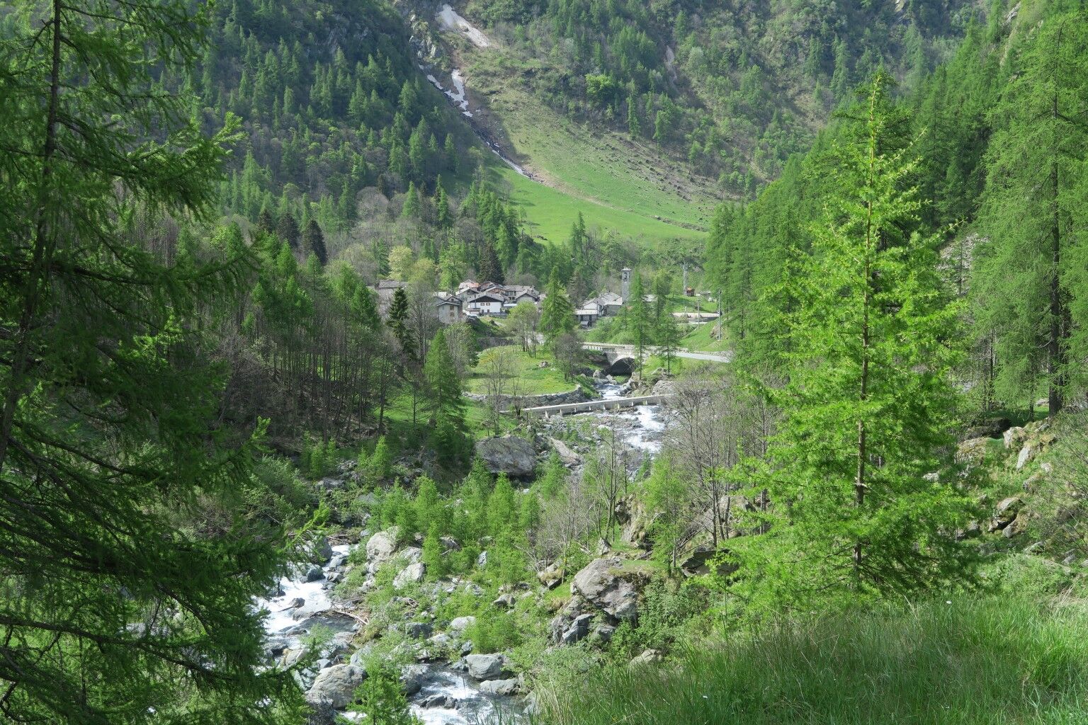
Igen
The excursion requires the use of a wind jacket, fleece, waterproof technical boots, trekking poles
Lack of refreshments along the route, therefore it is necessary to bring water and food
For the Piedmont side of the park: from Turin take the SP 460 of Valle Orco, turning right at Pont Canavese for Val Soana or continuing up to Ceresole Reale; - from Ivrea (Milan motorway junction) follow the SP 565 of Castellamonte which joins the SP 460 in Rivarolo Canavese.
Piamprato, public bus
Presence of free parking nearby.
for all updates and information it is useful to refer to the following link: https://www.pngp.it/en
An old silver lead and chalcopyrite mine that has been cultivated since ancient times.
Népszerű túrák a környéken
-
3,0
Cascate di Lillaz
Kirándulás 6 km -
5,0
VALCHIUSELLA Loop Fondo - Tissone - Tallorno
közepesKirándulás 5,08 km -
FONDO Alpe Balme Fondo and Tallorno
közepesMountainbike 13,1 km -
PONT CANAVESE Val Soana
közepesTávolsági kerékpározás 28,2 km -
4,7
Lillaz - Lago delle Loie - Val Bardoney - Lillaz
közepesKirándulás 14,7 km -
Monte Barbeston
könnyűKirándulás 11,8 km -
5,0
Lago Muffè & Alpe di Lago Bianco
könnyűKirándulás 10,5 km -
Boschietto and Boschettiera, Forzo
közepesHótalpas túra 5,23 km -
CAMPIGLIA SOANA Sanctuary of San Besso
közepesKirándulás 6,65 km -
Ciavanassa refuge from Piamprato
közepesHótalpas túra 4,88 km
Túrázás & nyomkövetés


Ne maradjon le az ajánlatokról és az inspirációról a következő nyaralásához!
Az Ön e-mail címe hozzá lett adva a levelezőlistához.