


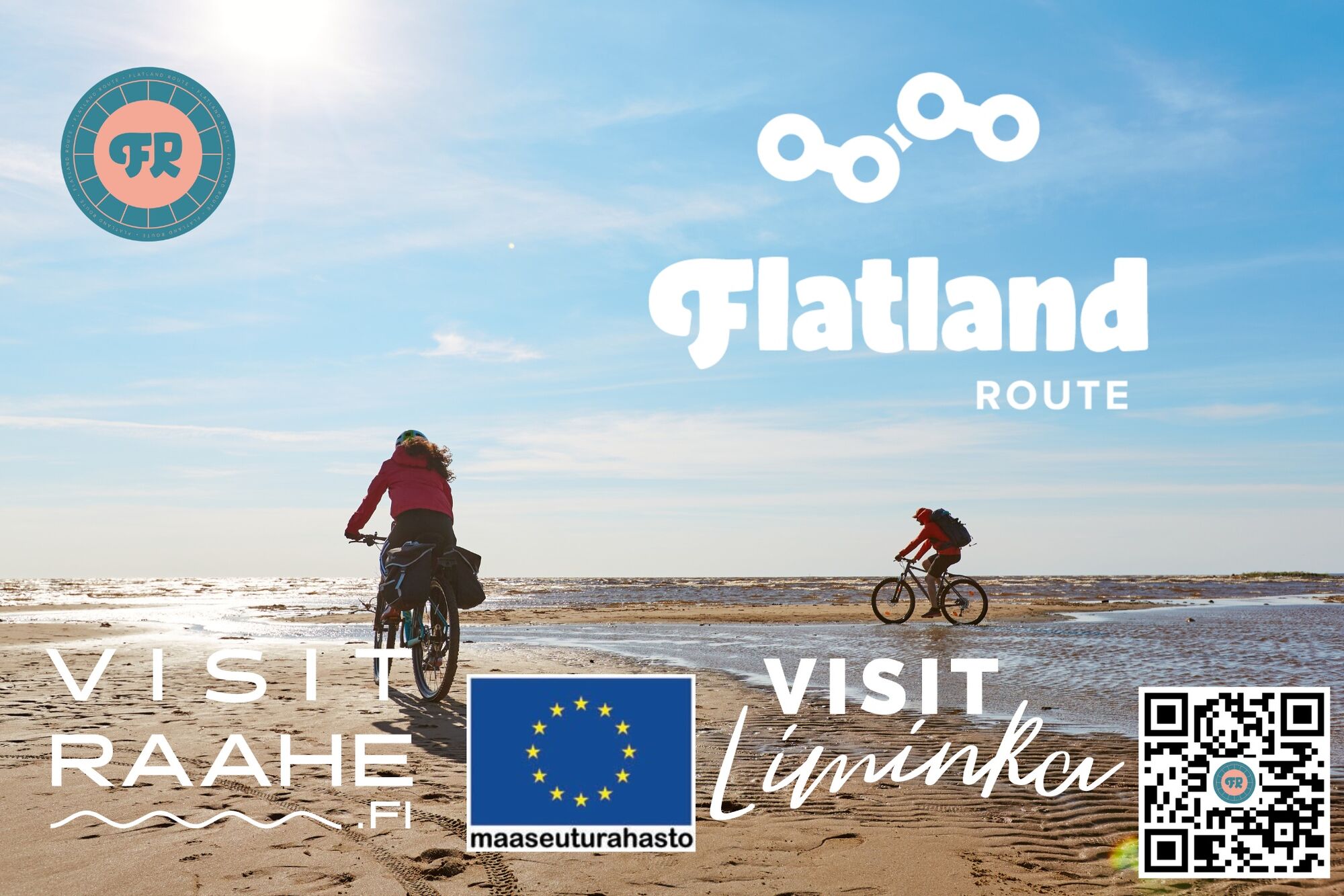
Flatland Route touring cycle route
Nehézségi szint: 2


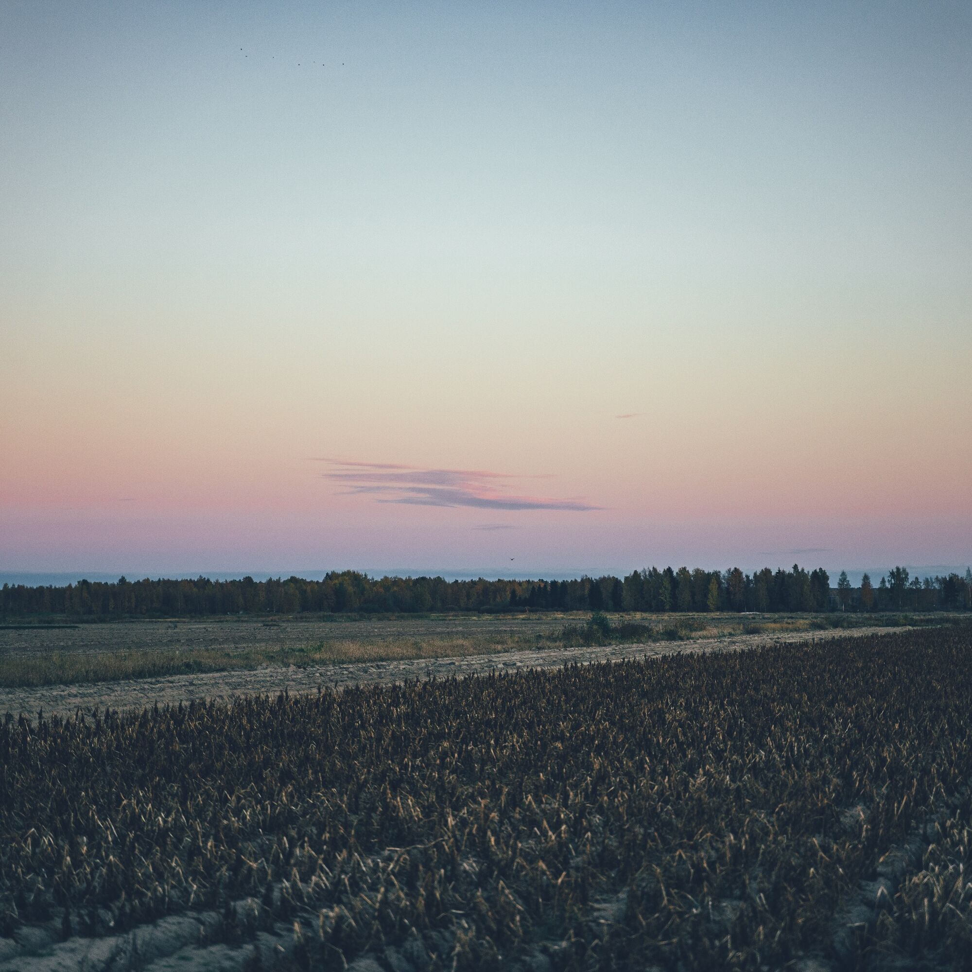
The Tour of Northern Ostrobothnia is a varied, but also suitable for first-timers, cycling route along the coast of the Bothnian Sea, consisting of four different sections. The first days from the starting...
The Tour of Northern Ostrobothnia is a varied, but also suitable for first-timers, cycling route along the coast of the Bothnian Sea, consisting of four different sections. The first days from the starting point in Liminga follow the flat coastline from sandy beach to sandy beach and from the harbour to the harbour via Lumijoki, Siikajoki, Raahe and Pyhäjoki. This is followed by a stretch along the old embankments of Pyhäjoki inland to Merijärvi and all the way to Oulaise. The return journey northwards towards Vihanti runs through the forest, through Vihanti's huts and homes, until the last part of the route, from Ruukki's old industrial landscape to Liminka, follows the Ostrobothnian Railway and its service roads.
In addition to the quiet side and sandy roads and the varied route sections, the route's main attraction is the tiny villages, whose village spirit is reflected in their personal and unique services. A retired ship has been preserved on dry land as a café and inn, a schoolyard is used as a campsite in summer, or an old Art Nouveau mansion or health centre has been restored as a resting place for tourists. In addition to these, the route includes, for example, the Liminganlahti nature reserve and nature centre, which is of great international value, as well as several old churches, tree species parks, some of the oldest bridges in Finland and several museum areas. The route also passes through Wanha Raahe, one of Finland's best preserved 19th century wooden towns.
The route is easily accessible by public transport: the railway stations along the route are in Oulainen, Vihanni and Ruuk. From Oulu to the starting point of the route in Liminka can be reached by bus in just over half an hour, and by bike it takes only 30 kilometres. The route offers anyone a relaxed 5-6 day trip, either camping or using only accommodation services. For the more energetic, the route can be done much faster, for example as a three-day weekend trip - weather, fitness and company permitting.
Find out more about the route and the recommended pace below in the Route Notes.
STATS
Length: 320 km
Duration: 5-6 days
Ascent metres: 770 m
Highest point: 126 m
Difficulty: 3
% unpaved: 55%
% trail: 1 %
Drivable: 100%
HIGHLIGHTS
Idyllic and distinctive villages with unique services.
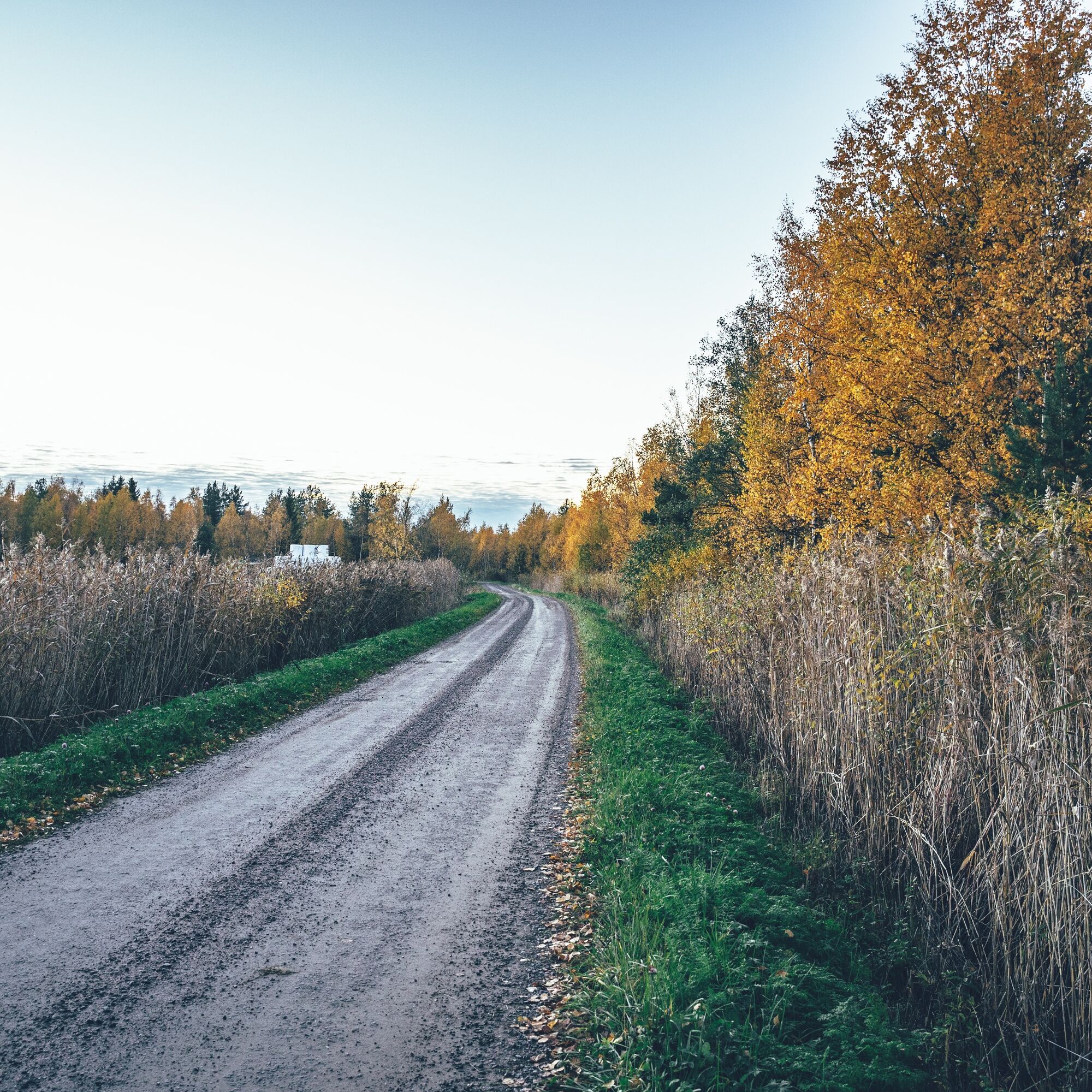
Peaceful sandy and forest roads linking the area's services and attractions.
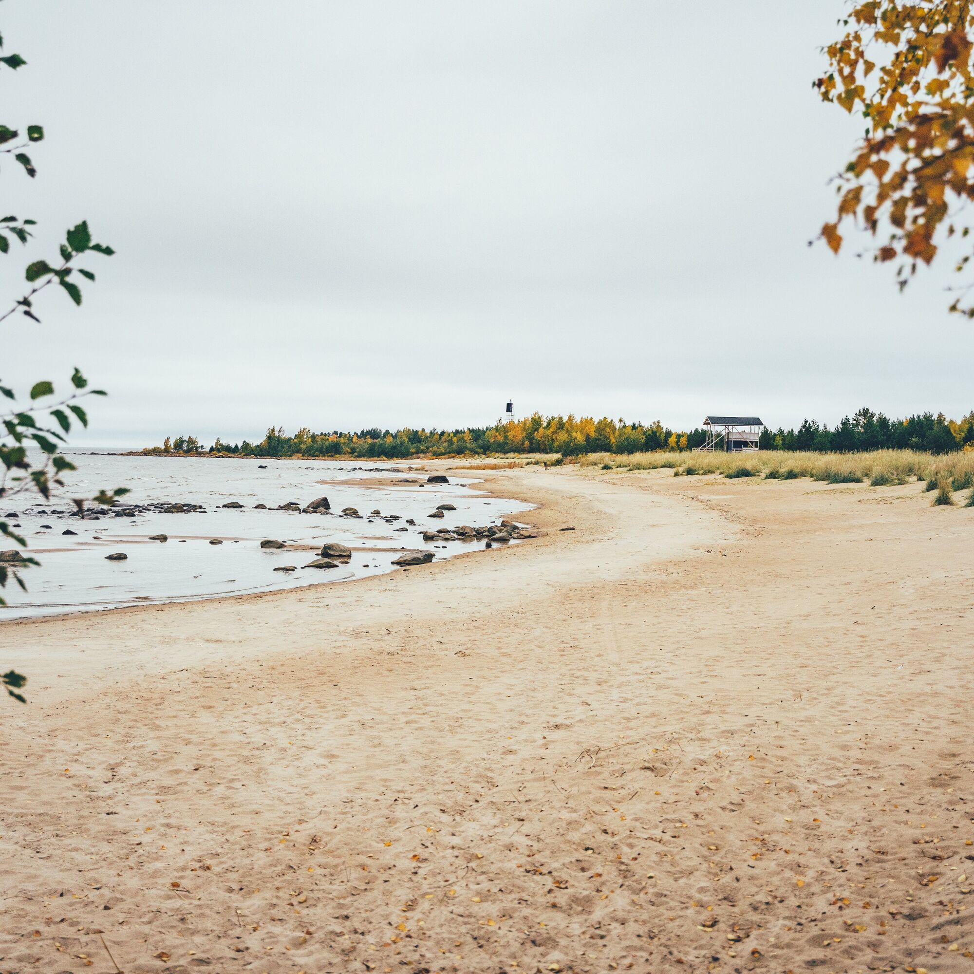
Endless sandy beaches and numerous fishing harbours on the shores of the Bothnian Sea.
Pyhäjoki's bench roads with rest stops.
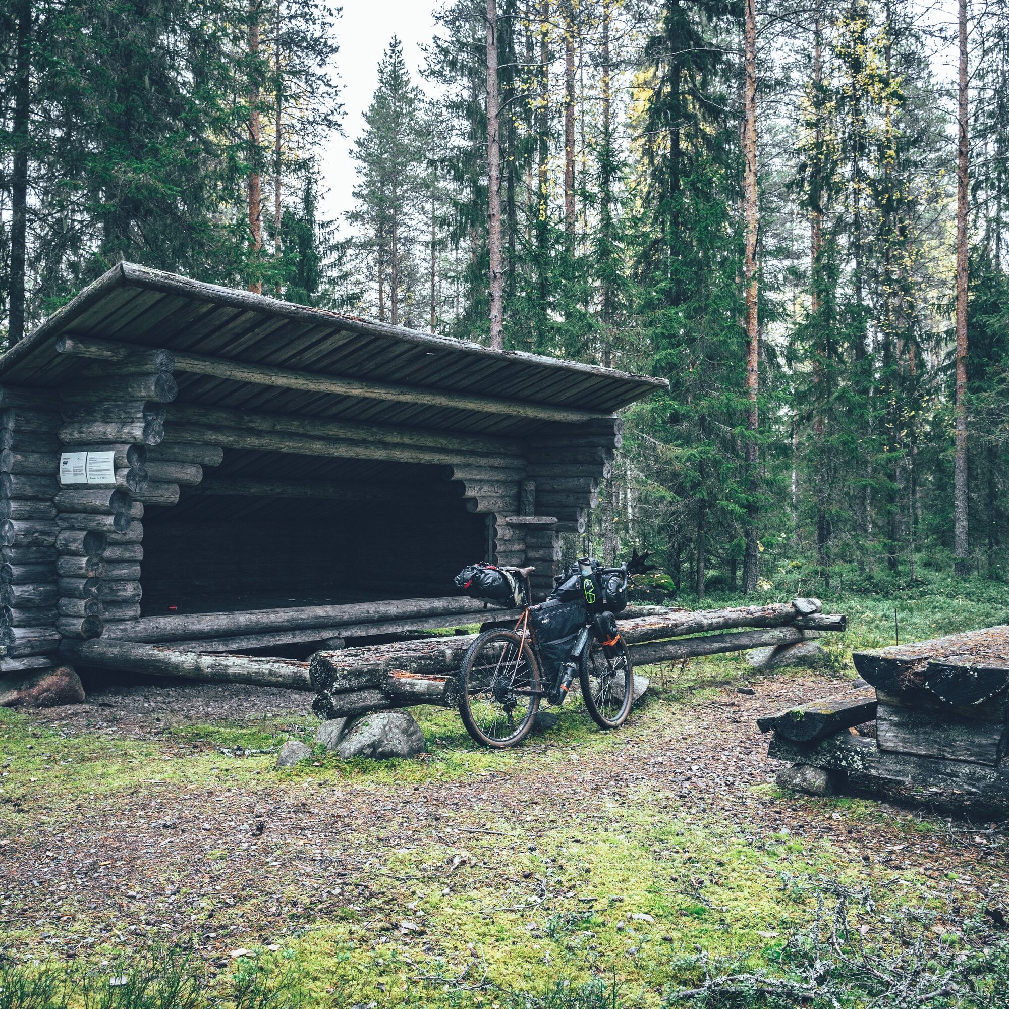
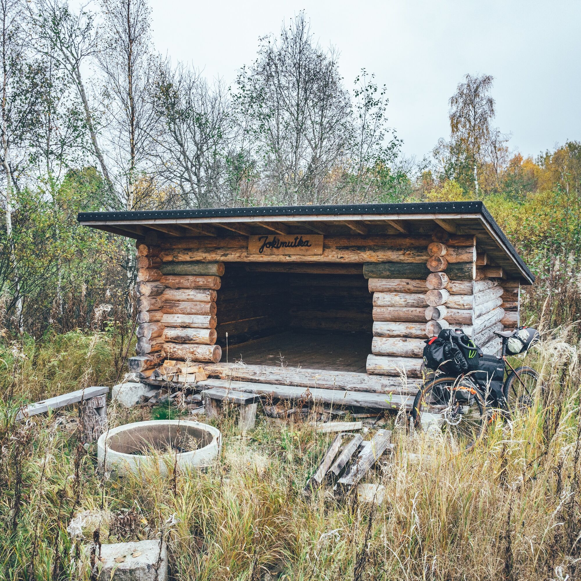
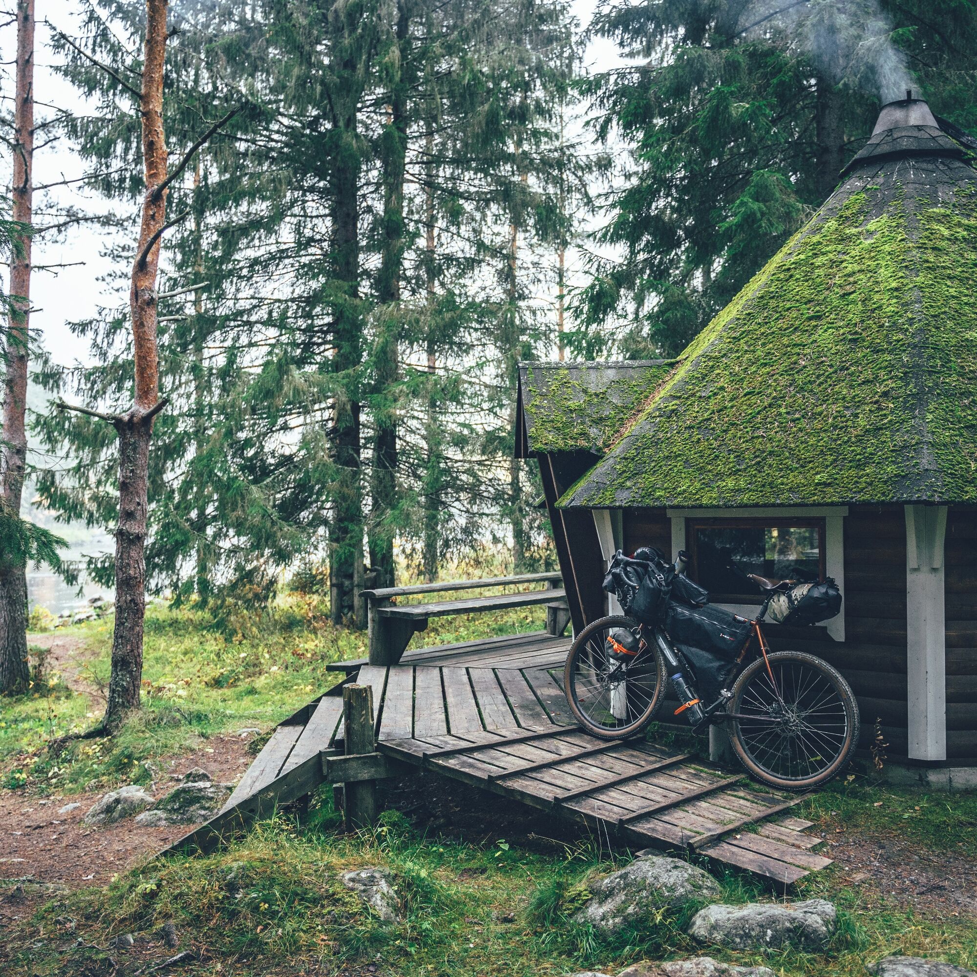
Countless camps and cabins in the forests and along waterways.
Wanha Raahe, one of Finland's best preserved 19th century wooden towns.
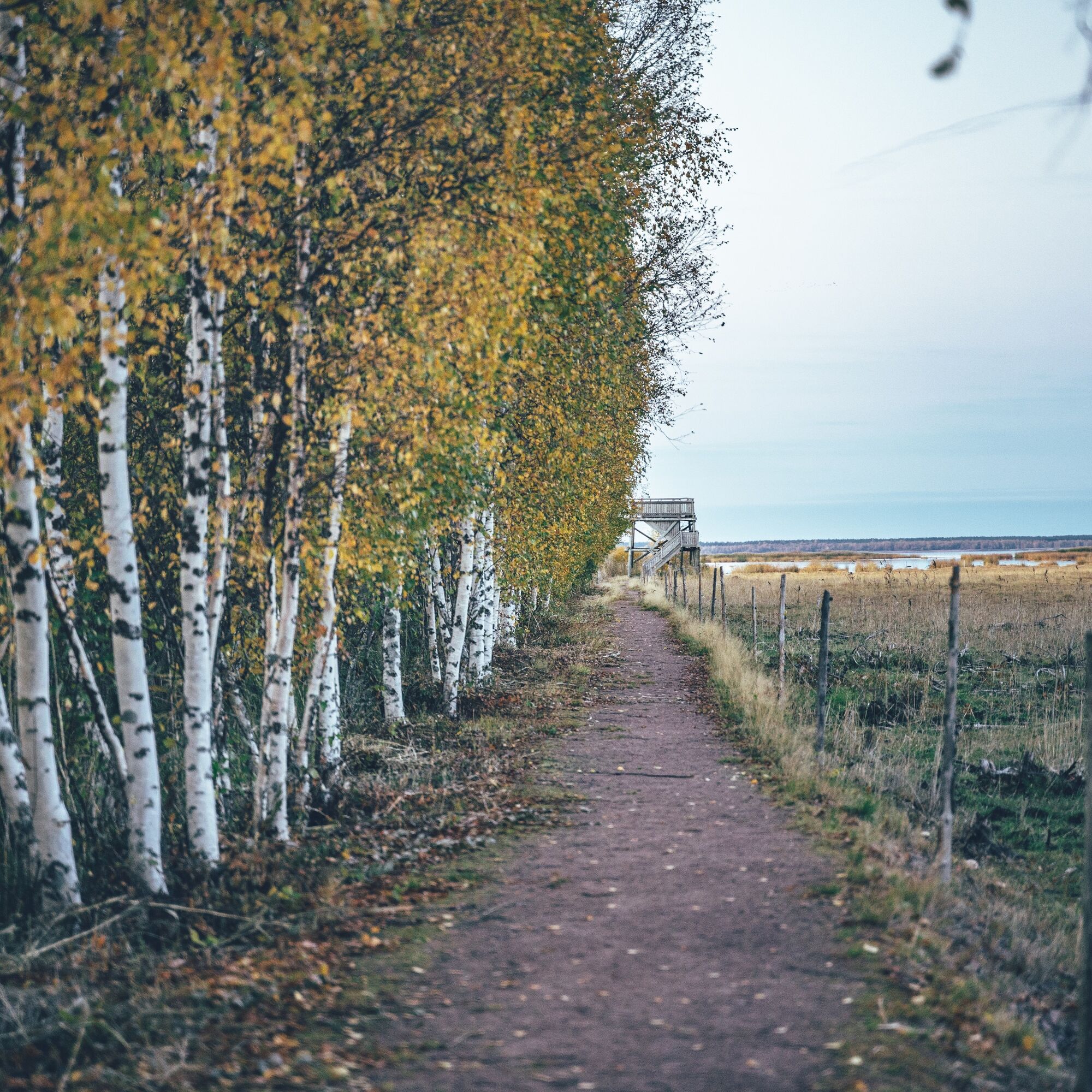
Liminganlahti Nature Reserve and Nature Centre.
An abundance of services makes hiking light and easy.
The lack of sand, especially on the coastal part of the route, makes for efficient walking.
Route notes
The clearest starting points for the route are Oulainen, where the nearest train station from Helsinki is located, and Liminka, which is just a stone's throw from Oulu. Here's a relaxed daily rhythm from Liminga, suitable for the inexperienced.
The route can be done camping or from inn to inn. The rhythm of the route below is made with accommodation in mind, but with daily camping recommendations. Tented accommodation may not change the rhythm of the route much, but it does add flexibility to the route. At best, the route is probably a combination of the best campsites and the most interesting guesthouses.
With the proposed rhythm, six days of cycling will be accumulated, but given the shortness of the days and the flatness of the coastal part of the route, especially along the Pyhägi River, a more agile cyclist could do the route at double the pace in three days.
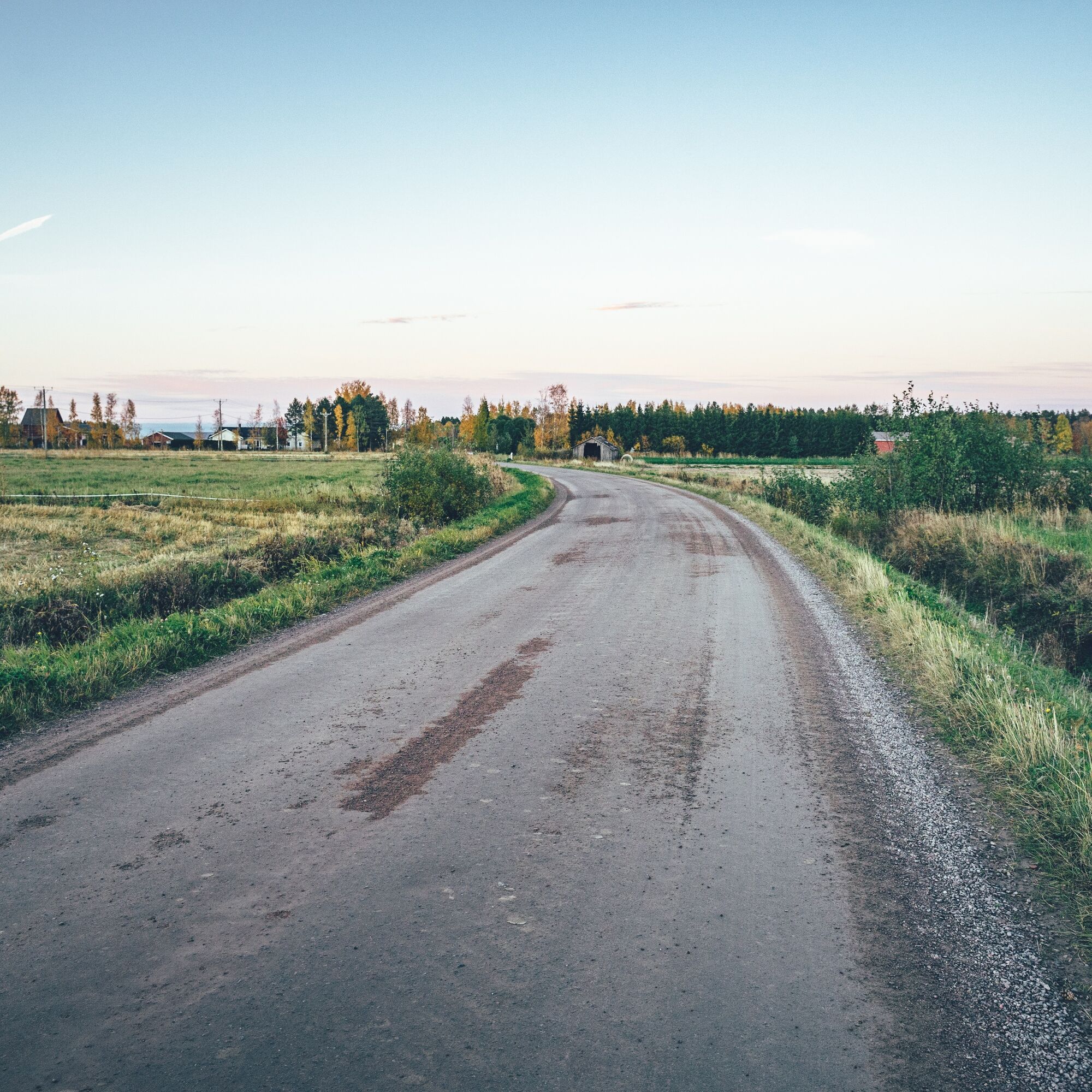
Day 1, Liminka-Törmälä farm at Siikajoki (57 km, 125 m ascent)
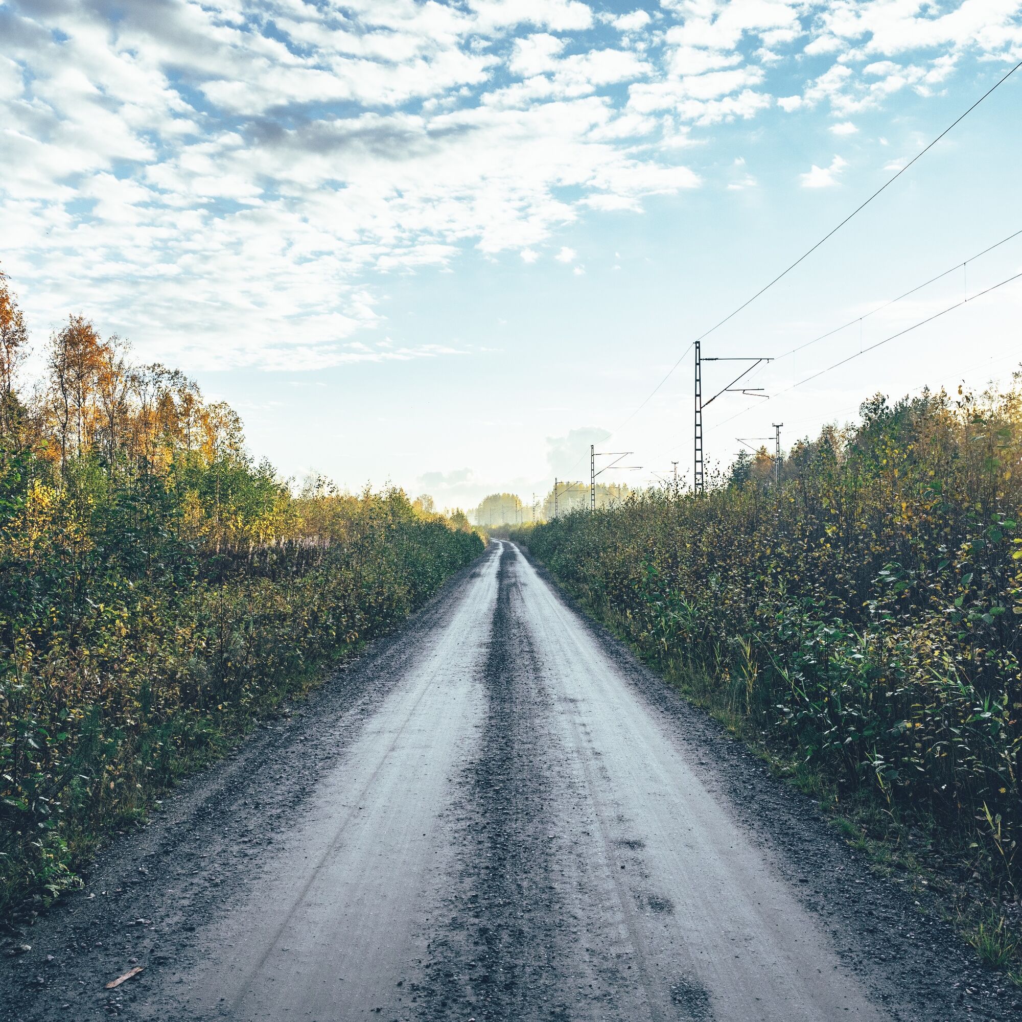
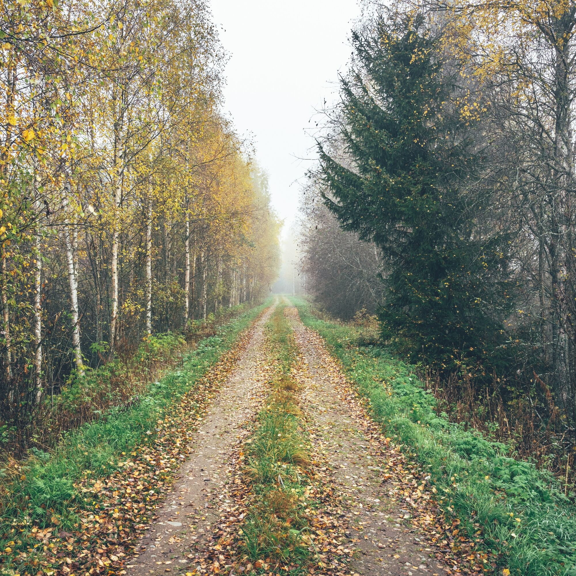
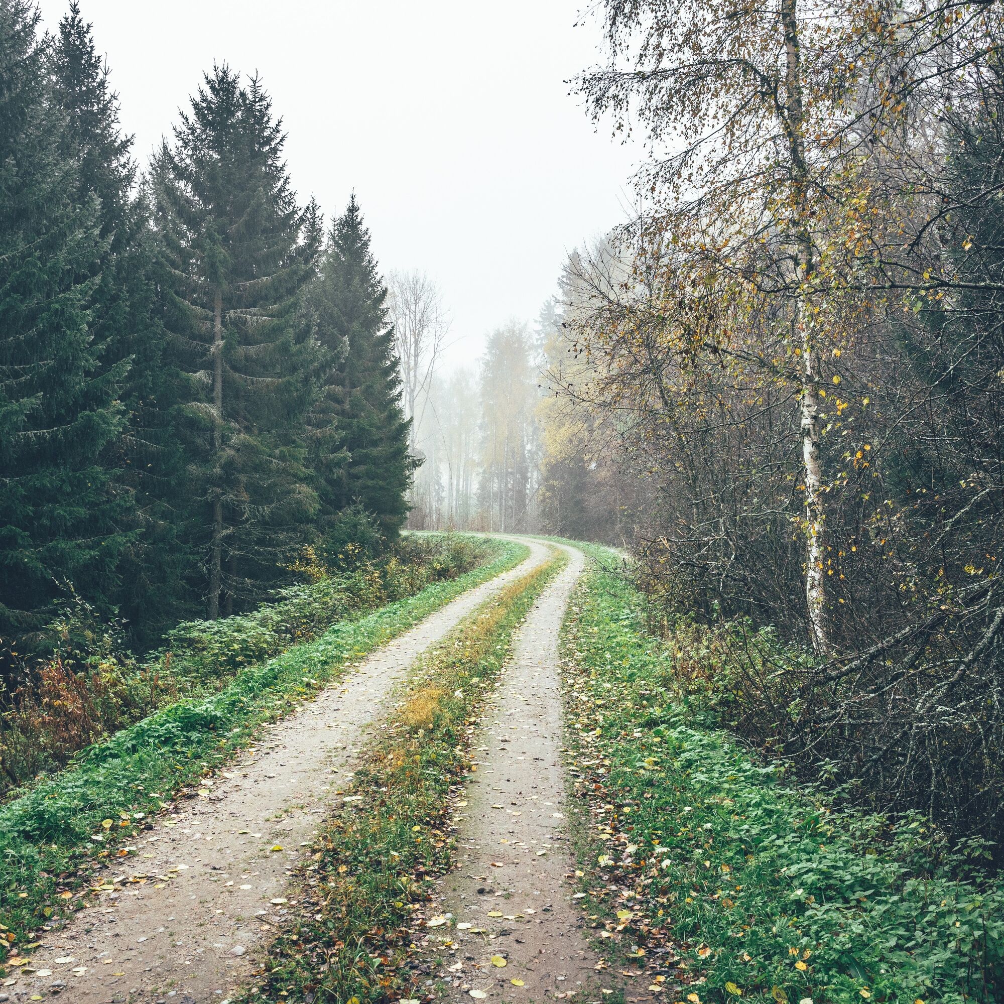
The Flatland Route starts from the centre of Liminga on a paved road through fields to the tranquillity of the Rantakylä recreation area. The Liminganlahti Nature Centre can be reached from the start of the route by driving from the Rantakülä recreation area via Jurvalankuja, Seikkulankuja and Mattilankuja to the cycle path along Lumijoentie, from where you drive a good 100 metres back north. Return to the route by the same route. On the way to Lumijoki, the route first becomes a dirt road and soon afterwards a partly sandy forest road. With narrower tyres, you have to be careful with the sand at times, but the sandy areas of the Rantakylä are soon left behind. The two kilometres or so of path deep in the forest is the longest of the route, but when it's fast and smooth it doesn't slow things down much.
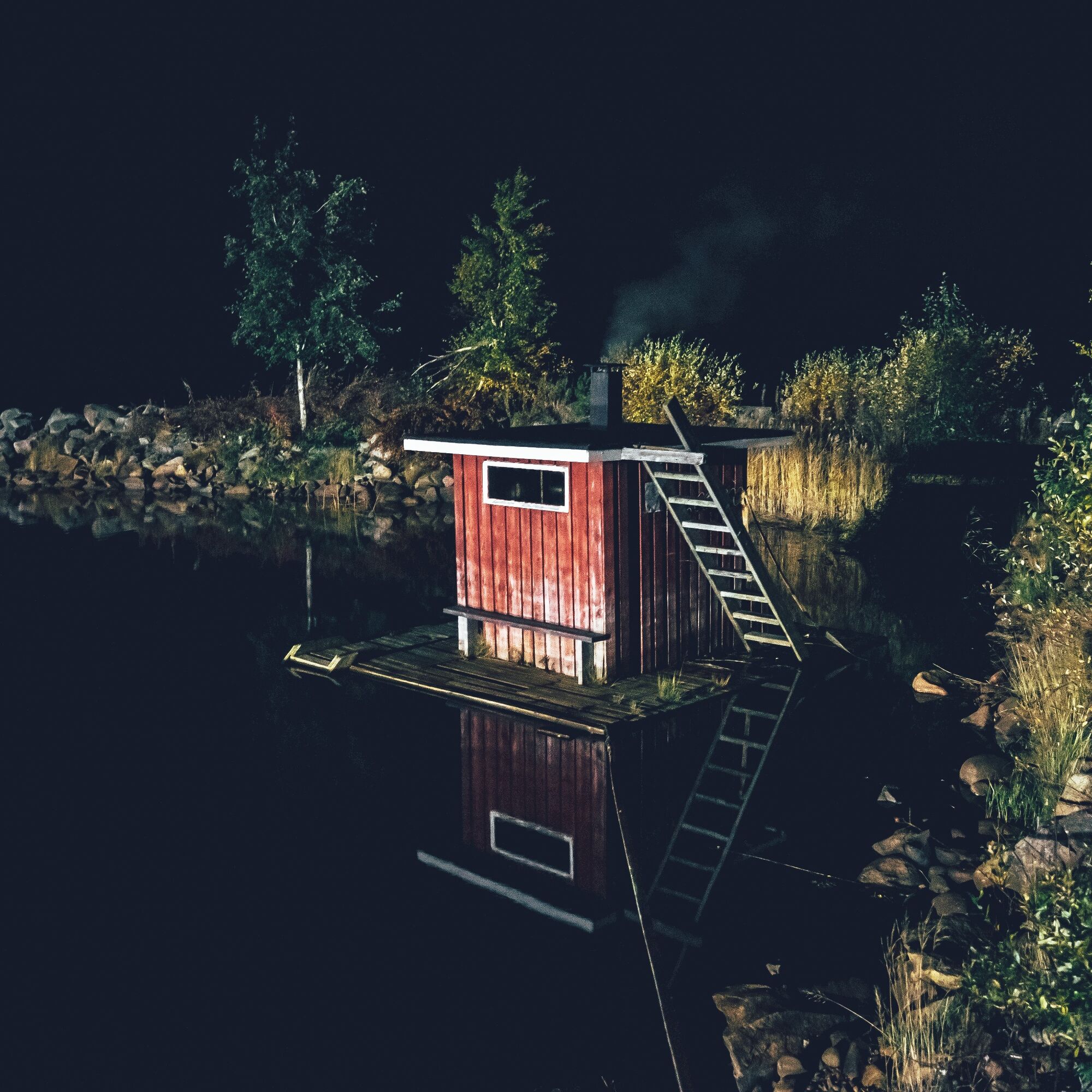
After the services of Lumijoki, the trail heads along sandy roads to the coast of the Bothnian Sea, and more specifically to Liminganlahti, whose bird sanctuary of international importance is protected in its entirety and is also a Natura area. The bay has a bird tower and there is plenty of camping space at the campfire site in Sannanlahti. The fishing and small boat harbour of Varjaka in Lumijoki is only an extra 10 kilometres from Liminganlahti, and the harbour has a pleasant Hailuoto boat café and inn, a free camping area, water, a barbecue hut, showers and a sauna for hire. The distance from Liminga to Varjakka is about 32 kilometres.
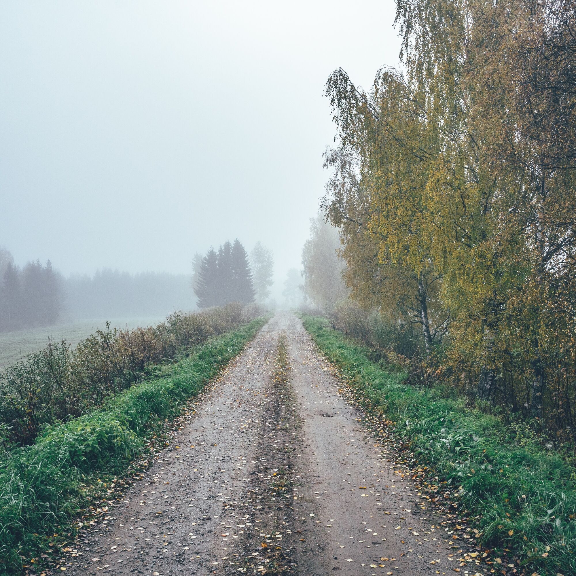
From Varjakas, a series of eight fishing harbours starts up to Siikajoki, where the first day's driving more or less ends. The section between Varjakka and Siikajoki starts with about 10 km of straightforward dirt road and then continues on a paved road roughly following the coastline. Small fishing harbours provide good resting places and shelter from the rain, from home to small cottage. In addition to the sandy beach, there is a hut and a shelter. At Kurikka Lammastila you can also spend the night by the sea in a charming sauna cottage next to a sheep enclosure. At Törmälä farm you can stay in a tent and perhaps, depending on bookings, in a real one, but you can also find cabin accommodation in Siikajoenkylä near the golf course and golf restaurant.
Day 2, Törmälä farm - Raahe (49 km, ascent 58 m)
The second day of the tour is, like the first, flat and open Perämeri coastal fields and forests with a few visits to the coast. From the Siikajoki area to Raahe, the route largely follows low-traffic paved roads. From the Raahe road, there is a 7-kilometre stretch to the sandy beach of Tauvo. Cyclists may be tempted to leave Tauvo off the route, but the stunning sandy beach at the end is a sure reward for their efforts. Tauvo beach with its summer kiosks is an excellent place to take a break and water before continuing south. You'll also find a campfire site and a lava shelter in Tauvo. Return to the route along the same road.
Pattijoki's Pizza & Kebab is so strategically located before you reach Rahe, at day kilometre 44, that it's hard to miss, even though it's only five kilometres from the town. Pattijoki's stone bridge, completed in 1987, is the oldest stone bridge in northern Finland, having been part of the Oulu-Vaasa route built as early as the 17th century.The last few kilometres to the almost 400-year-old town of Raahe and the wooden town of Wanha Raahe follow the route of this historic road, even if you wouldn't necessarily recognise it as a light traffic route.
The town of Raahe is the largest settlement centre on the whole route, so there are several options for food and accommodation. A day's cycling from the Siikajoki area to Rahe is perhaps the easiest of the whole route, but the next inns are only a long way away in Pyhäjoki, and it doesn't hurt to arrive in time for the 19th century wooden town anyway. The Lohenpyrstö campsite before Raahe is the camping site of choice for those looking for a campsite, with swimming and sauna facilities.
Day 3, Raahe - Pyhäjoki (43 km, ascent 90 m)
The third coastal day is also easy in terms of length and climbing metres, but again the going is sandy. Eight kilometres from Raahe, a picturesque series of sandy roads, sometimes shaded by lush deciduous trees, begins, linking four lavas between Raahe and Pyhäjoki.
The day is largely a fast-paced and varied ride along gravel and smooth forest roads of different types and sizes. The refreshment stops, and also the only water stops of the day, are located at cycle kilometres 5, 10 and 15. Otherwise, the campsites will serve as convenient rest stops in addition to the Yli-Mattila woodland park, located just before reaching Pyhäjoki.
Pyhäjoki has two shops, a couple of restaurant options and two accommodation options. The first, Kielosaari Riverside Cottages and Camping, offers cabin accommodation and tent pitches. For campers, the Kielosaari campsite is an easy choice close to village amenities, but overnight accommodation is also available in the Pirttikoski schoolyard, where there is a toilet and water point for campers. It is about nine kilometres upstream from the village of Pyhäjoki to Pirttikoski.
Day 4, Pyhäjoki - Oulainen (61 km, ascent 60 m)
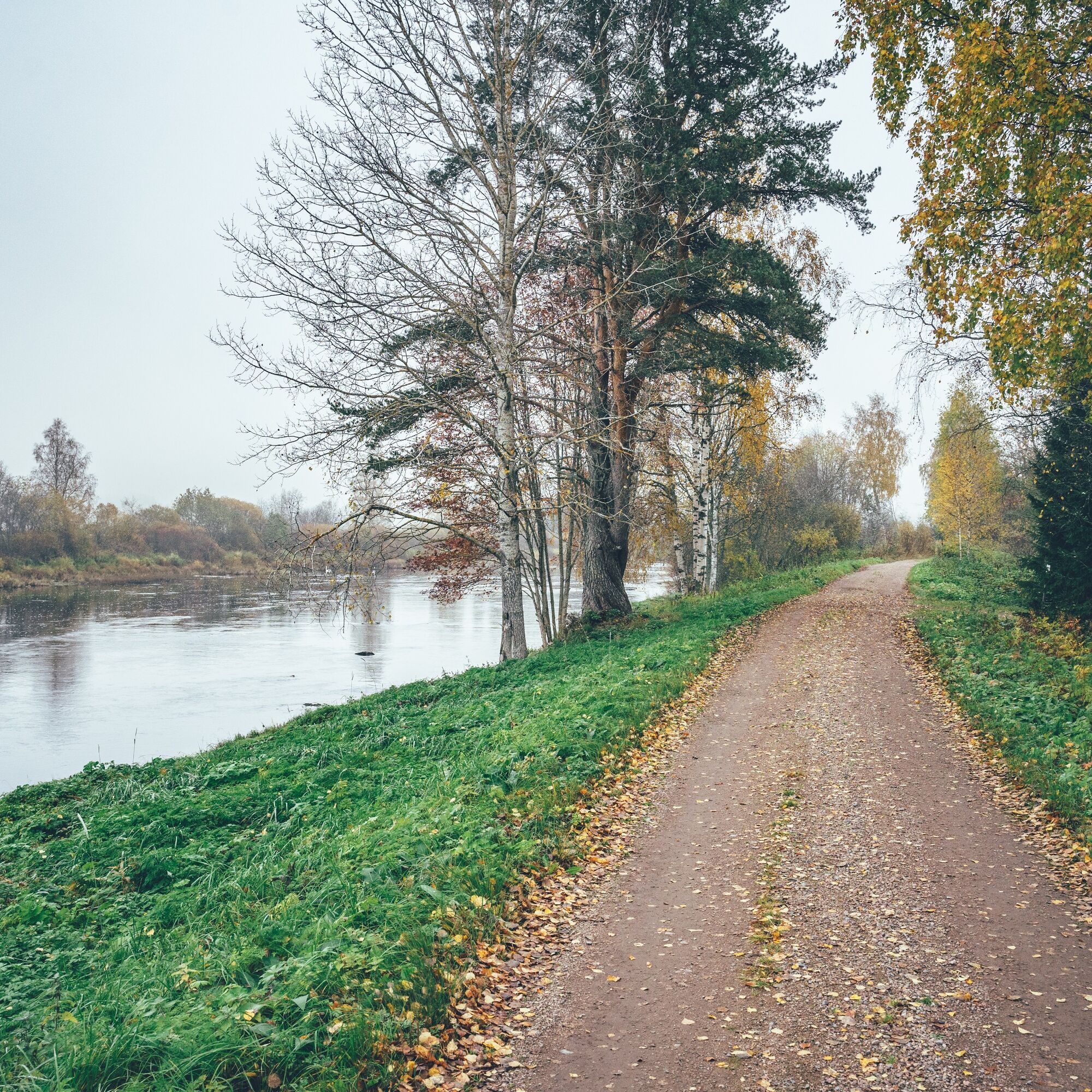
The fourth day is all uphill, at least technically, as you follow the Pyhäjoki upstream to Oulainen. The route passes through idyllic and historic bench roads for most of the day, making the day's route somewhat unique in Finland. A more spectacular route from the coast back inland is unlikely to be found.
The Pyhänkoski hut and kiosk are also conveniently timed around mid-day, and you don't have to leave the route for several kilometres to visit the shops in Merijärvi. Closer to Oulaisia, there are also several scenic campsites along the river, with Petäjäskoski beach and barbecue shelter also making an excellent camping spot.
The most culturally interesting accommodation in Oulainen is the over 100-year-old Penttilkä House, but there are also other accommodation options. Two kilometres further on from Piipsjärvi is Honkamaja, which offers accommodation and food.
Hox! Oulainen, Vihanni and Ruuki have railway stations, and thus regular train connections to Oulu and Helsinki. As such, these three serve as alternative starting and ending points for the route when arriving by train, or if plans change.
Day 5, Oulainen - Vihanti (55 km, ascent 250 m)
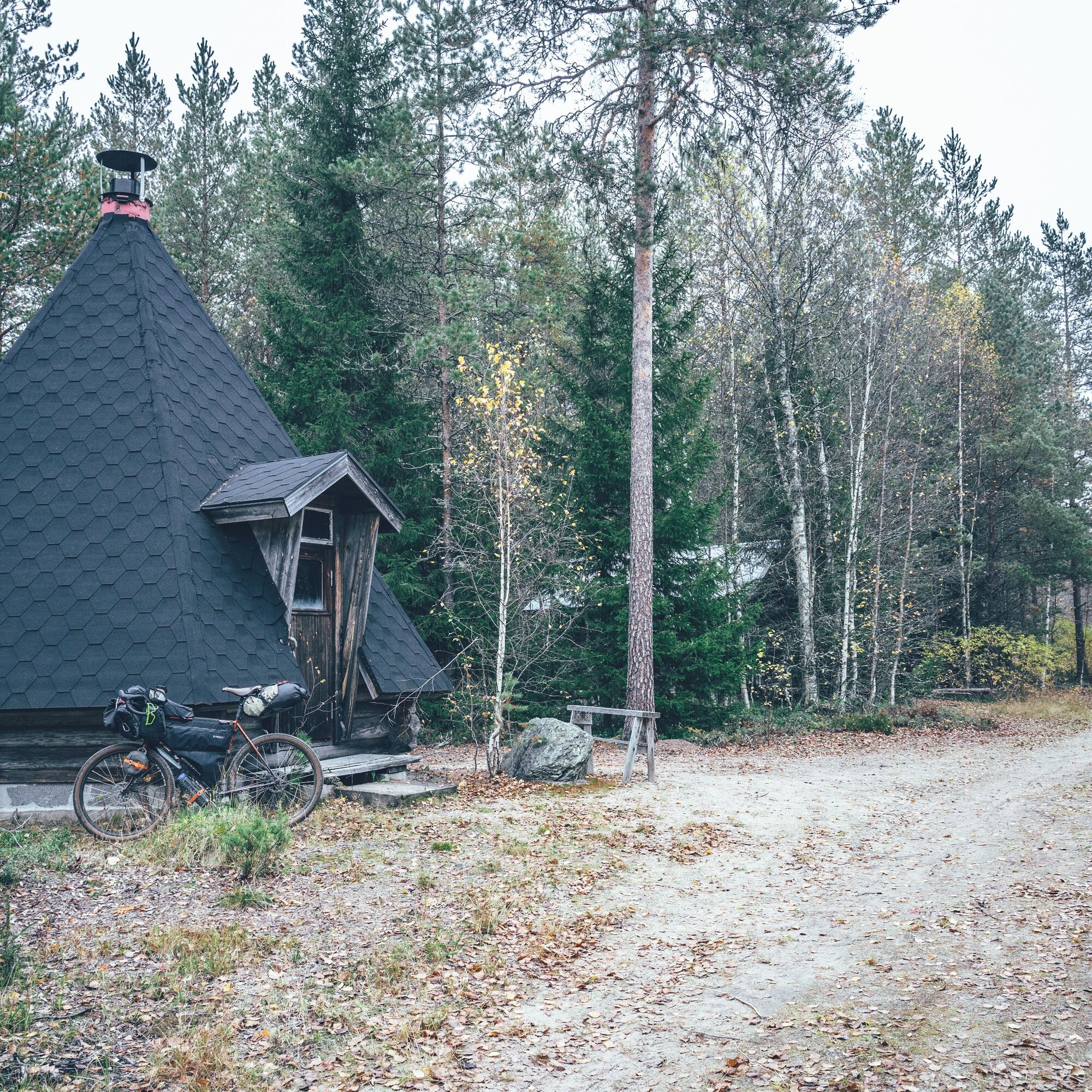
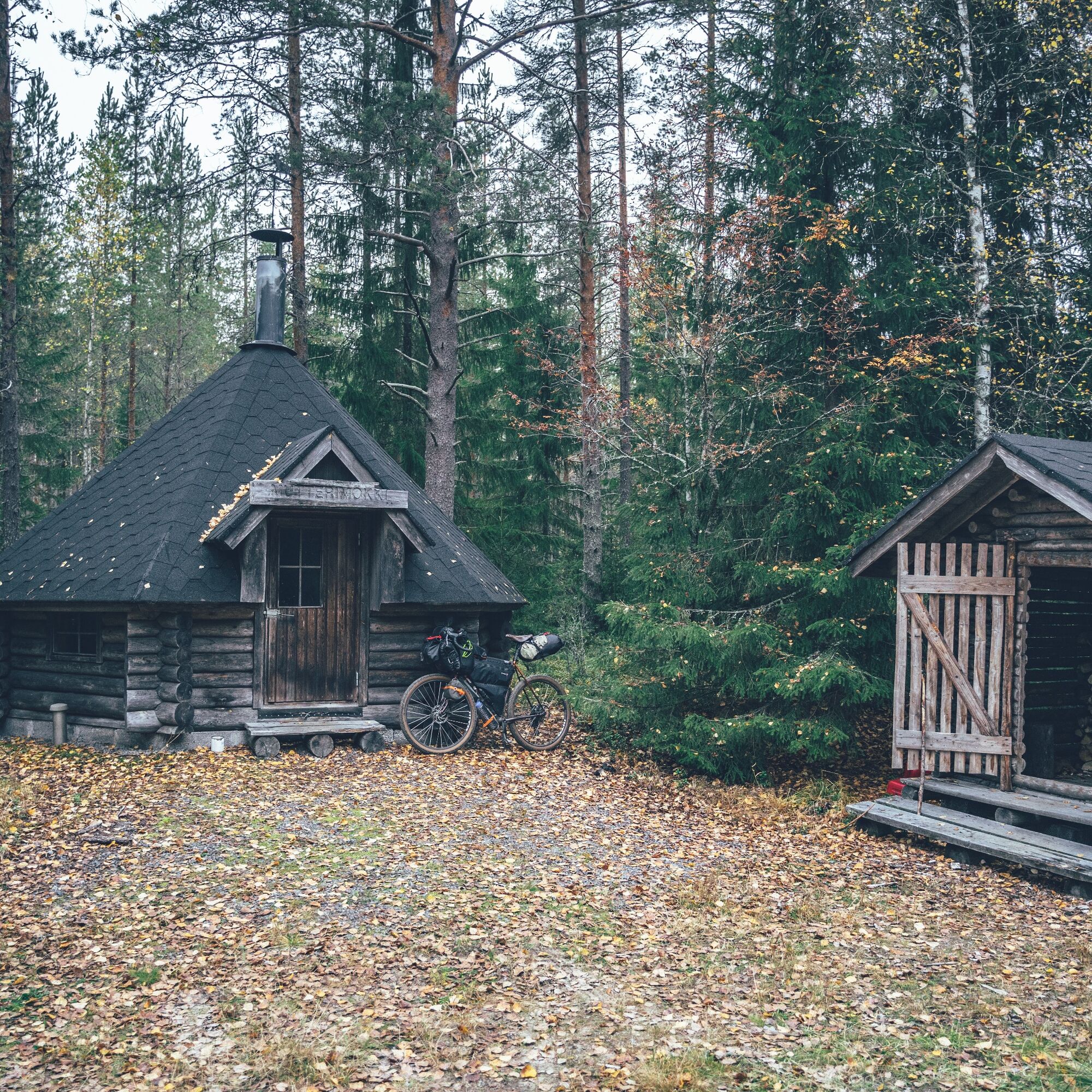
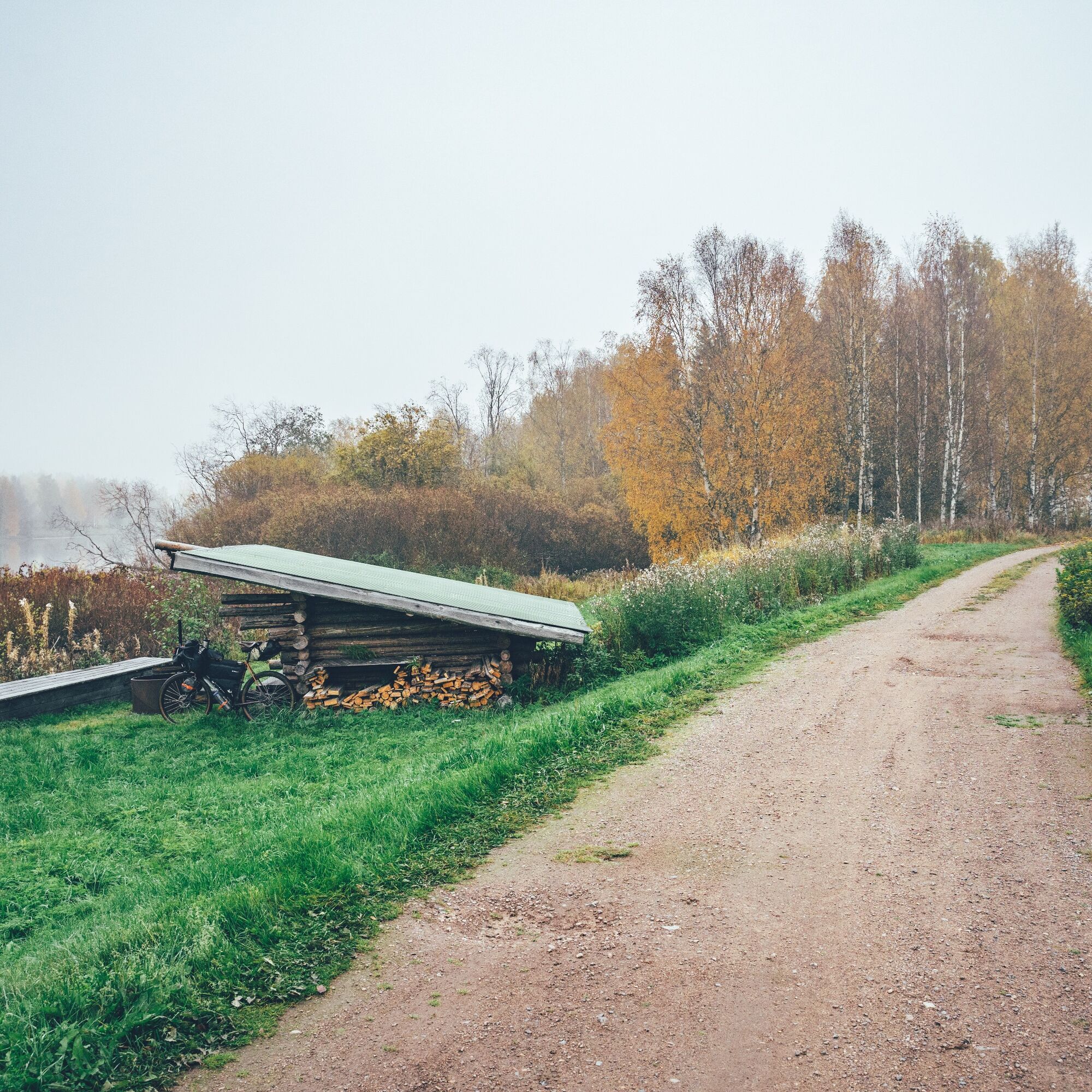
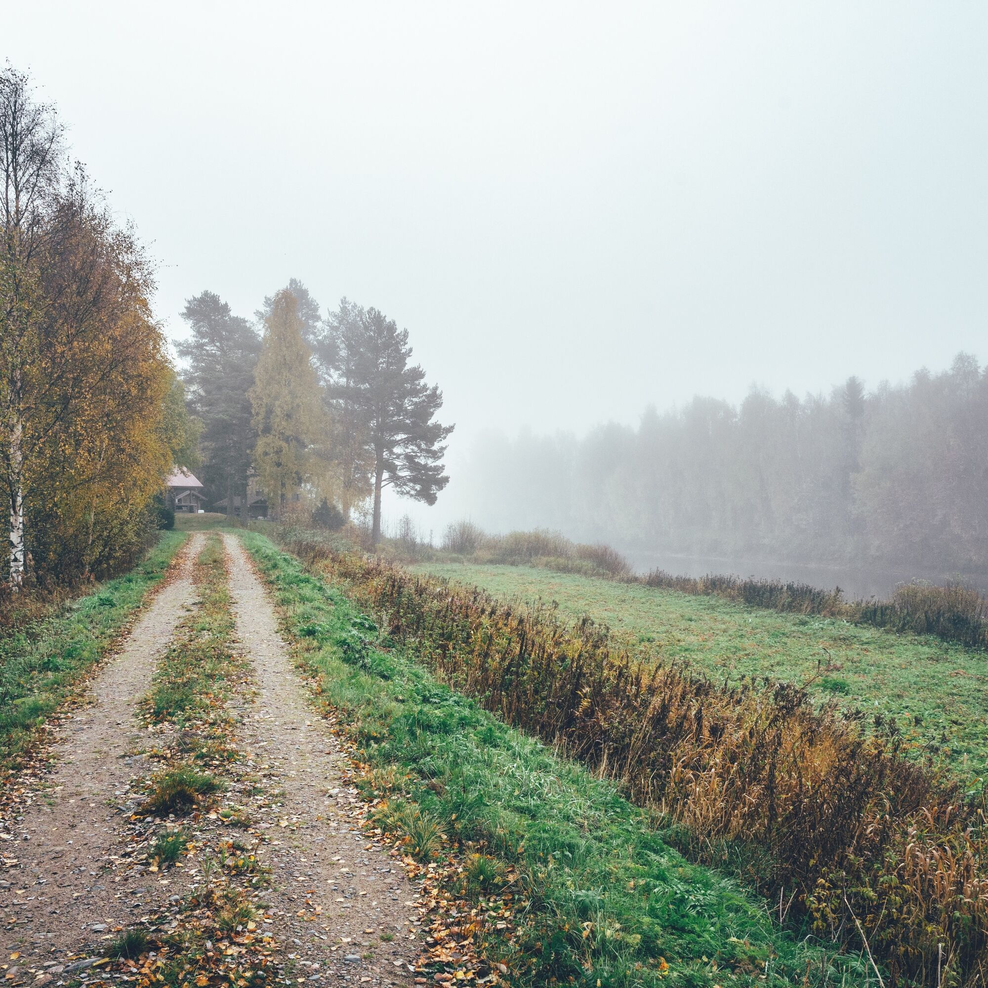
From Oulainen, the route finally turns back north and towards the starting point of the circular route. The fifth day of cycling to Vihanti takes advantage of the sandy trails, camps and homes on the Vihanni Kinttupolut hiking trail, making the section as wilderness-like as southern North Ostrobothnia, dotted with farms and woodland, can offer. The camps and homes are in good condition and firewood is often available. There are several camping options, perhaps the most interesting of which is the giant Kiviharju campsite, with room for up to another dozen campers in beautiful fresh canvas forest.
Although most of the day is on easy gravel roads, there are also a couple of kilometres of more challenging trail, as a result of the combination of lodge and home. The home called Mutterimaja is reached via about a kilometre of soft road, and from Kiviharju lodge the journey continues on a kilometre of trail-like track. The route is finally more hilly than the flat coast, but the climbing metres remain relatively low.
The old mining village of Lampinsaari offers mansion accommodation, a campsite and a café, about 35 km from Oulu. The fifth day of the trip ends in the village of Vihanni, where the Vihanni Local Heritage Society offers accommodation on the shore of Lake Kirkkojärvi.
Hox! Oulainen, Vihanni and Ruuk have railway stations, and therefore regular train connections to Oulu and Helsinki. Thus, these three serve as alternative starting and ending points for the route when arriving by train, or if plans change.
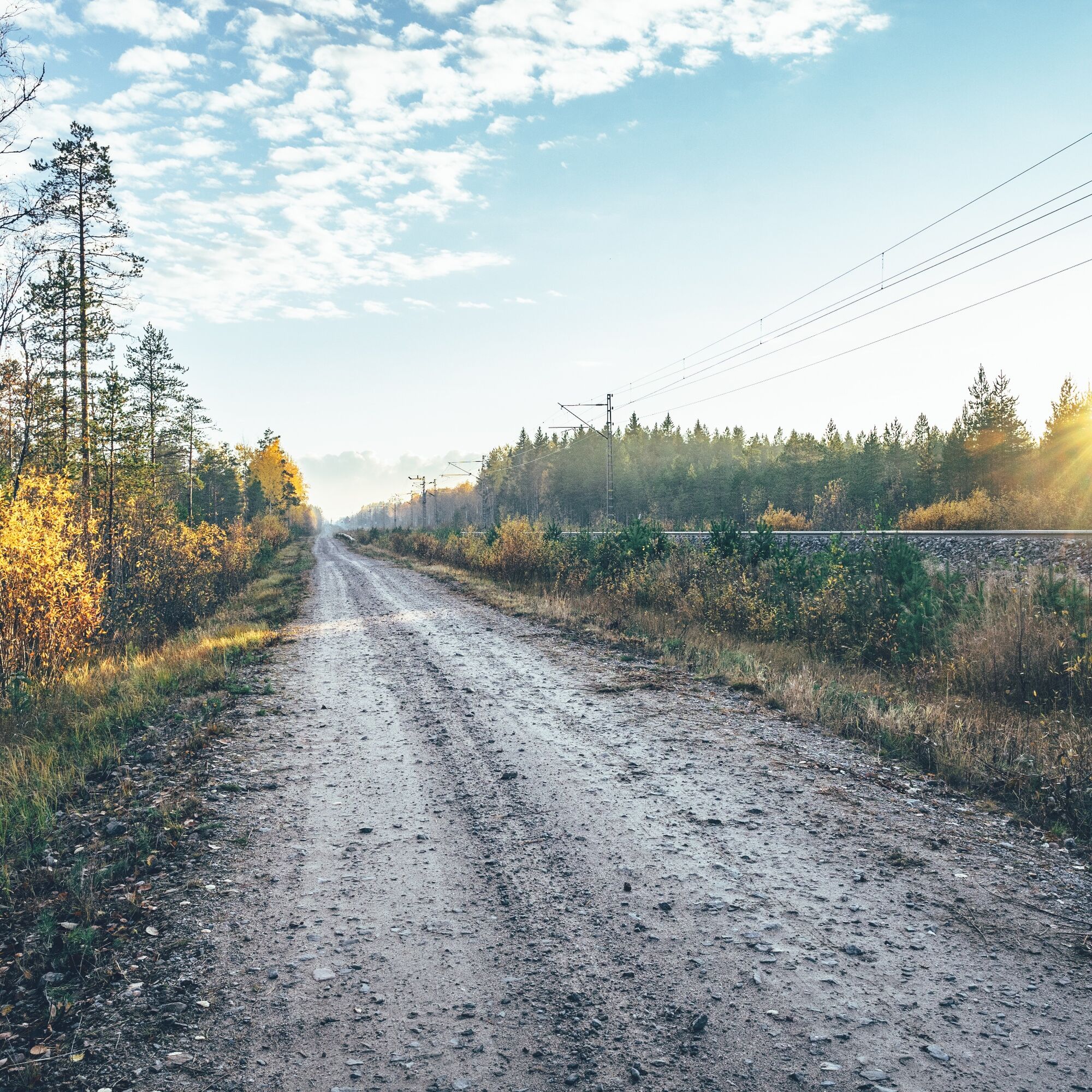
Day 6, Vihanti - Liminka (58 km, ascent 187 m)
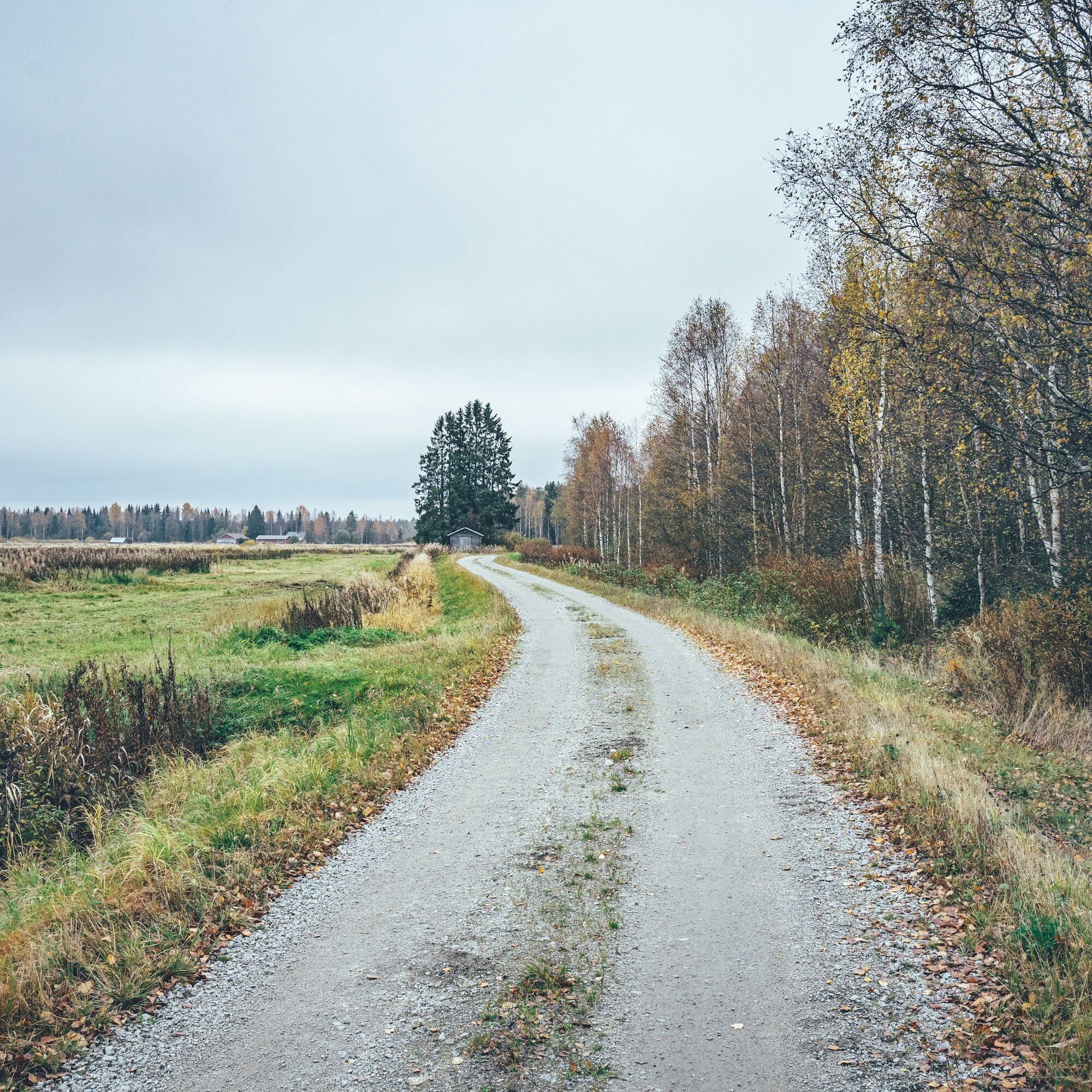
The final day of the route is largely dominated by the gravel service roads of the State Railways, which provide a straightforward and partly traffic-free cycling connection back to Liminka. The day starts in Vihanni, from where you hook up to Mäntylampi beach and a summer café. Sandy and low-traffic paved roads eventually lead to the picturesque old industrial village of Ruuk along the Siikajoki River. Ruuk has a range of restaurants and cafés, as well as an old factory complex. Kahvila Ruukin Teekoo, renovated from an old health centre into a café and guesthouse, is an interesting night spot, and in the heat, the beach at the Hietamaa Leisure Centre with its summer cafés is an excellent place to take a break. Camping is also allowed in Hietamaa, where you can also find a summerhouse and a hut.
From Ruuk, the trail continues along a forest road parallel to the track, followed by the obligatory 1.3 km long Raahentie. Fortunately, the heavily trafficked section of the road passes quickly and the last few kilometres are again a traffic-free byway and a bumpy gravel road. All in all, the last day of cycling is surprisingly interesting, perhaps because it is another different cycling experience. The final stop on the route is the old railway station in Liminga, where beer is now served instead of tickets.
Camping and accommodation
- It is possible to cycle the route without camping facilities at a leisurely pace, even on a day trip, if you book your accommodation in advance.
- Accommodation prices range from very affordable to mid-price.
- Camping is allowed and free of charge at all tent sites marked on the map, unless it is a paid campsite with services.
- Water is generally not available at recommended campsites, so carry water for the night from the water point before the campsite.
- Firewood and a hose are only available at some break and overnight sites.
- AirBnB accommodation is available along the route, but varies.
Be aware of these
The route can be ridden on any bike, as long as the tyre size is at least 35 mm. There are a few short soft sections, but it may not be worth using a larger tyre.
The best time for cycling in northern Ostrobothnia is usually from late May to late September. Daytime temperatures are between 12 and 20 degrees Celsius in early and late summer and between 15 and 25 degrees Celsius in the summer months.
When choosing a sleeping bag, it is a good idea to assume that, at least in early and late summer, night temperatures can fall below 5 degrees Celsius.
In the summer months, the days are long and there is light all day long in late June. If you are new to this, it may take some time to get used to the light and find a sleeping routine.
There is only digital route guidance on the route, read bikepacking.com for instructions and tips for successful route navigation. Pay particular attention to the battery life of your navigation device and take a spare battery or backup power supply with you.
Always stay on the guided route and try to use only the camping and rest areas recommended in the route description. In addition, follow the Metsähallitus Hiking Etiquette and Suomen Ladu's Mountain Biker's Etiquette.
The telephone network covers the entire route area: you can always call for help by dialing 112 or using the 112 app.
Access
- The official starting point of the route to Liminka can be reached by bus in just over half an hour from Oulu, and there are regular services throughout the day. It is not possible to book a bike place in advance and you can join the route if there is room for a bike. As it is only 30 km from Oulu to Liminka, it is also easy to get there by bike.
- The route can also be started from Oulu, which can be reached by train from Helsinki in about five hours and has trains every hour or so during the day. It is advisable to book a seat on the train well in advance.
- Ruukki and Vihanti are also accessible by train, but there are fewer daily services.
- There are also bus connections to Siikajoki, Raahe and Pyhäjoki.
- The route can start from any municipality.
- For more information on how to reach the Raahe region, click here.
2
Videos and Articles Showcasing the Flatland Route
Cycling media Velogi's video about the route (English subtitles)
Cycling YouTuber Klasu Menee has created a three-part video series about the route (In Finnish)
A short introduction video about the route by the Municipality of Liminka
An article about the route by nature tourism media Retkipaikka (In Finnish)
An article about the route on the Bikeland website (In Finnish)
Food & water
- Restaurants, cafés and shops are regularly found along the route, but especially outside urban areas, opening times can vary greatly from season to season. Please check the opening times in advance.
- You can usually get by on the route with half a day's lunch and two litres of water. However, you are more likely to need to carry more water for an overnight stay.
- At campsites and homes, remember that it is strictly forbidden to build an open fire during a forest fire warning. Information on regional forest fire warnings is available here.
- Water is usually not available at recommended campsites, so carry water overnight from the water point before the campsite.
- Tap water in Finland is generally of good quality and safe to drink. Trailside restaurants, cafés, kiosks and shops are often happy to fill cyclists' bottles.
The challenge
The route is almost entirely on very easy and flat dirt roads, forest tracks and low-traffic asphalt roads, with a few exceptions. Some of the more technically challenging sections are, for example, the Rantakylä trail section and the arrival at Lampinsaari along the lush path of the trailbed, but they are easy enough for a first-timer and the sections are short.
Physically, the first four days of the route up to Oulais are very easy, with almost no hills and not much climbing during the last two days. Progress on the route is generally smooth and easy. If the route is done at the pace indicated in the route notes in six days, the days are very relaxed. The physical challenge is easily increased by extending the day's distance and the more experienced can squeeze the route into a long weekend. The route is rated 2/10 for physical challenge and only 3/10 for technical challenge.
In terms of hiking challenge, the route is also very easy as a whole, as the rhythm of services is regular and the intervals between services are not long. In addition, public transport often provides access to the next village if necessary, for example if a bicycle breaks down. The route is accessible in both directions, and the direction of travel does not affect the difficulty of the route. An exception may be the winds along the coast of the Bothnian Sea, which can make at least the coastal section more cyclable in the other direction. The overall challenge rating for the route is 3/10. An easier cycling route in the Suomineido area is hard to find.
Cycling is often more comfortable the lighter the equipment, which is also partly true on this route. However, much of the route is flat and therefore the weight of the equipment is not the most important issue. Bikepacking bags are always a lighter and more aerodynamic alternative to traditional luggage racks and side bags, but on this route you can get by with any carrying system. The minimum recommended tyre size is 35mm, but the more experienced can manage narrower. There may be a few soft sections, but just because of them you may not want to use a bigger tyre.
Népszerű túrák a környéken
-
Hummastinvaara mountain biking routes 25 km, Raahe
közepesMountainbike 20,2 km -
Hummastinvaara mountain biking routes 15 km, Raahe
közepesMountainbike 14,3 km -
Laivavaara ancient path
közepesKirándulás 5,53 km -
The Musu route, Piehinki
közepesMountainbike 16,6 km -
Mountain biking trails in Hummastinvaara, Raahe, 10 km
könnyűMountainbike 8,51 km -
Mountain biking trails in Hummastinvaara, Raahe, 5 km
könnyűMountainbike 4,92 km

Túrázás & nyomkövetés


Ne maradjon le az ajánlatokról és az inspirációról a következő nyaralásához!
Az Ön e-mail címe hozzá lett adva a levelezőlistához.