


eBike MNCA stage 6: Roquebillière - Col de Turini


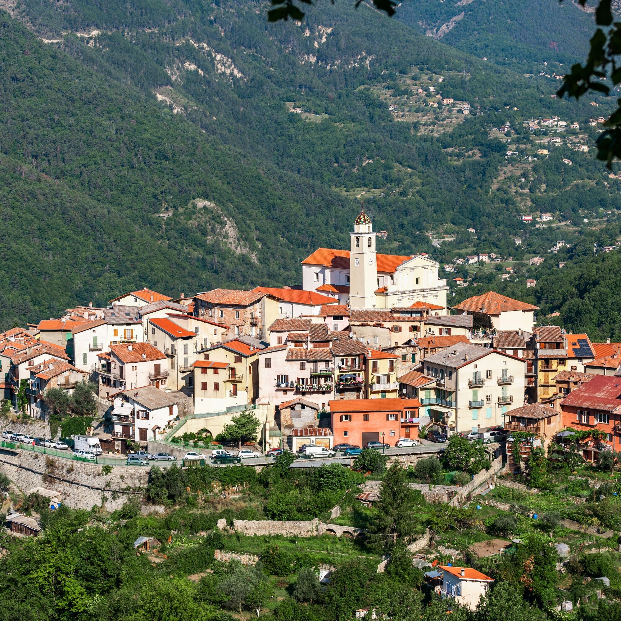
Following the markings, reach Old Roquebillière (596 m). It was abandoned in 1926 after a huge collapse. Cross the busy M2565 to take a small road. A succession of road, track, road leads to the M71,...
Following the markings, reach Old Roquebillière (596 m). It was abandoned in 1926 after a huge collapse.
Cross the busy M2565 to take a small road.
A succession of road, track, road leads to the M71, then to a junction 50 m later. The dilemma! To the left, 4 km away, the recommended visit of the magnificent medieval eagle's nest village of Belvédère (790 m). To the right, the route continues.
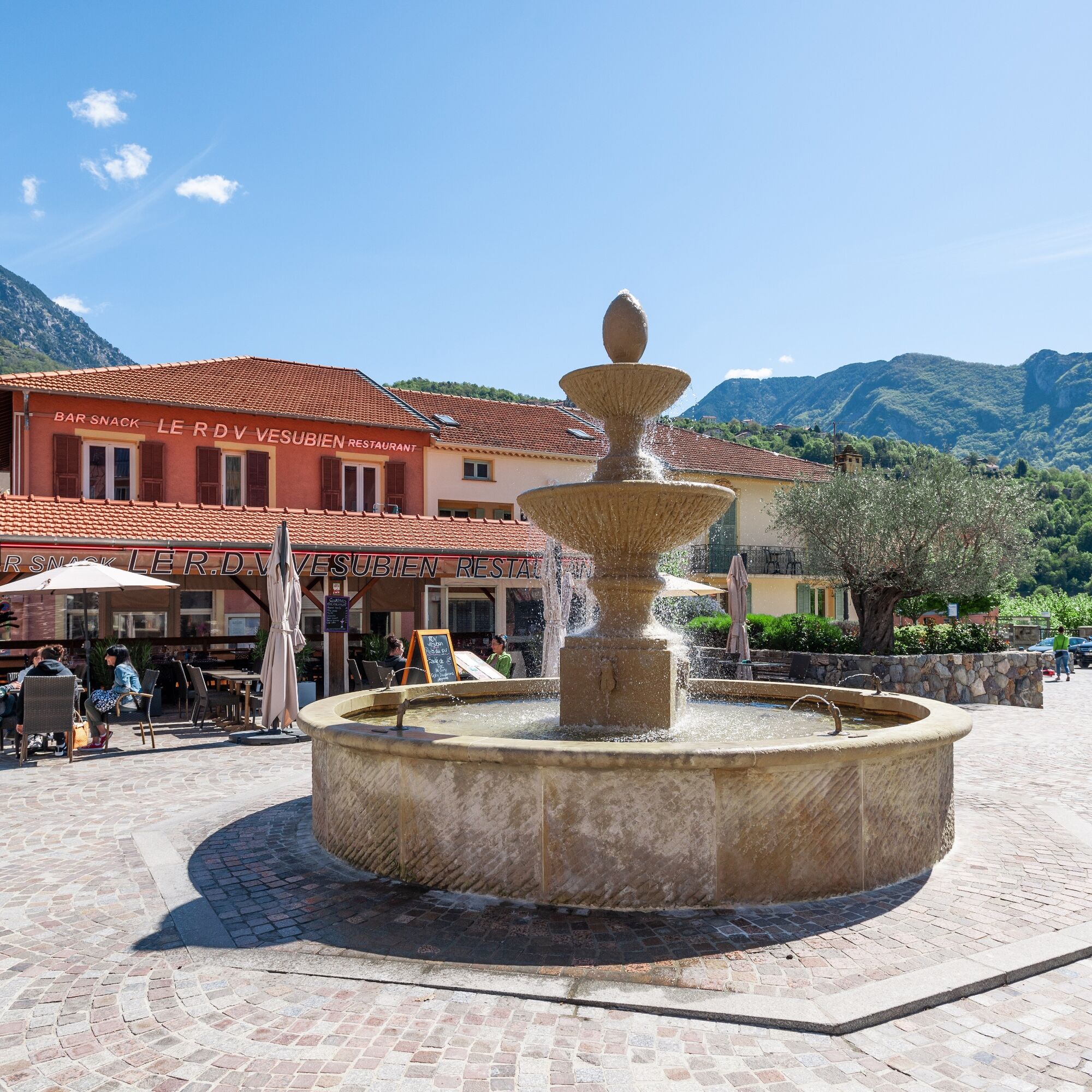
A series of quiet small roads (with 3 successive junctions) leads, in 8 km, to the village of La Bollène-Vésubie (720 m). This is the zen moment for a panoramic, tourist break and battery recharge! Then head towards the Col de Turini (famous for its Monte-Carlo rally winter specials!), but beware, 250 m after leaving the village, take the ascending track on the left.
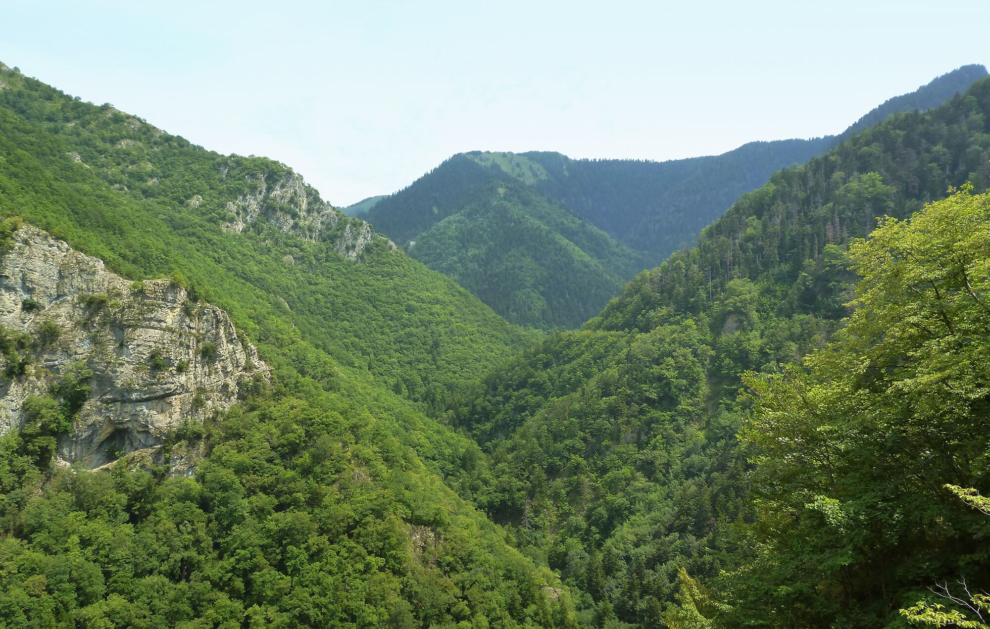
Start a 13 km ascent on track, averaging 7.3%, through the splendid Malagratta forest until reaching, on the ridge, the Vacheries de Mantegas (1685 m). Climb steadily here and there.
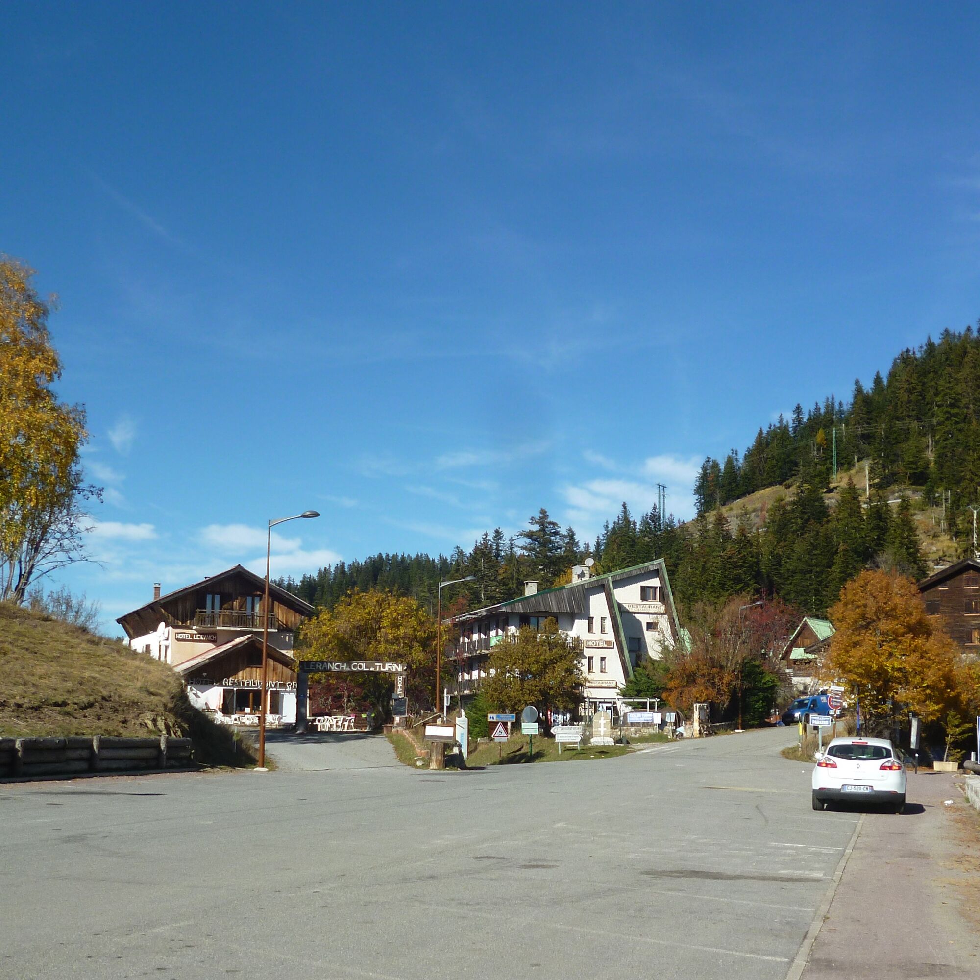
From there, you can reach, in 1 km, the Col de Turini (1604 m), the stage finish.
Wear a helmet, bring protective gear and repair accessories.
Check the weather: Mountain weather changes quickly, bring warm clothes.
The national park is a protected and regulated area: only use trails authorized for MTB riders.
Follow the marked trails, do not take shortcuts and respect route directions.
Before starting a route, make sure it suits your level, check the condition of your MTB and leave your itinerary with someone.
Be careful, polite, and slow down when overtaking other users.
Be extra cautious during hunting season and inquire about ongoing hunts.
If you encounter herd protection dogs (= patous), dismount, avoid sudden movements and go around the herd.
Respect private property, cultivated areas and close gates after passing through.
Be eco-friendly: take your trash with you and respect wildlife and plants to preserve nature.
Always carry the IGN map corresponding to the relevant route.
The Lignes d’azur network offers a single fare across the Métropole Nice Côte d’Azur. Validation is mandatory every time you board the bus regardless of the ticket used. To see all fares, click here: www.lignesdazur.com
Follow the corresponding MTB route markings: The circuit is marked with red "VTT FFC" arrows accompanied by the "e-bike Métropole Nice Côte d'Azur" logo. Our advice: continue with the Authion route (15 km, crossing at 2085 m) offering indescribable sea/mountain landscapes!
All outdoor activities in the Métropole Nice Côte d'Azur are on https://outdoor.nicecotedazur.org
Népszerű túrák a környéken
-
FFC MTB Circuit No. 4b: Le Turini
közepesMountainbike 32,0 km -
The Salt Roads: The Pagarine Route
közepeshosszú távú sétaútvonal 159,7 km -
VTT FFC route no. 2: The Férisson dairy farm
nehézMountainbike 28,0 km -
Circuit VTT FFC n°4d : Le Turini
nehézMountainbike 45,5 km -
5,0
Goldtoni - Alpenbogen A104 Refuge des Merveilles-Refuge de la Modena de Fenestre
közepeshosszú távú sétaútvonal 18,6 km -
Utelle - Roquebillière / Pagarine route (stage 4)
közepesKirándulás 20,0 km -
5,0
FFC cycling route no. 32: La boucle des 2 vallées depuis St.Sauveur/Tinée
nehézOrszágúti kerékpározás 117,8 km -
Mountain bike circuit FFC no. 21a: Les granges de la Brasque
nehézMountainbike 41,2 km -
Route n°1 - 2 days - Stage 2 Isola Village - Nice
nehézOrszágúti kerékpározás 139,4 km -
5,0
Goldtoni - Alpenbogen A080 Saint Sauveur Sur Tinée-Utelle
közepeshosszú távú sétaútvonal 40,7 km

Túrázás & nyomkövetés


Ne maradjon le az ajánlatokról és az inspirációról a következő nyaralásához!
Az Ön e-mail címe hozzá lett adva a levelezőlistához.