


Loop of the Plateau de Valensole
Nehézségi szint: 3


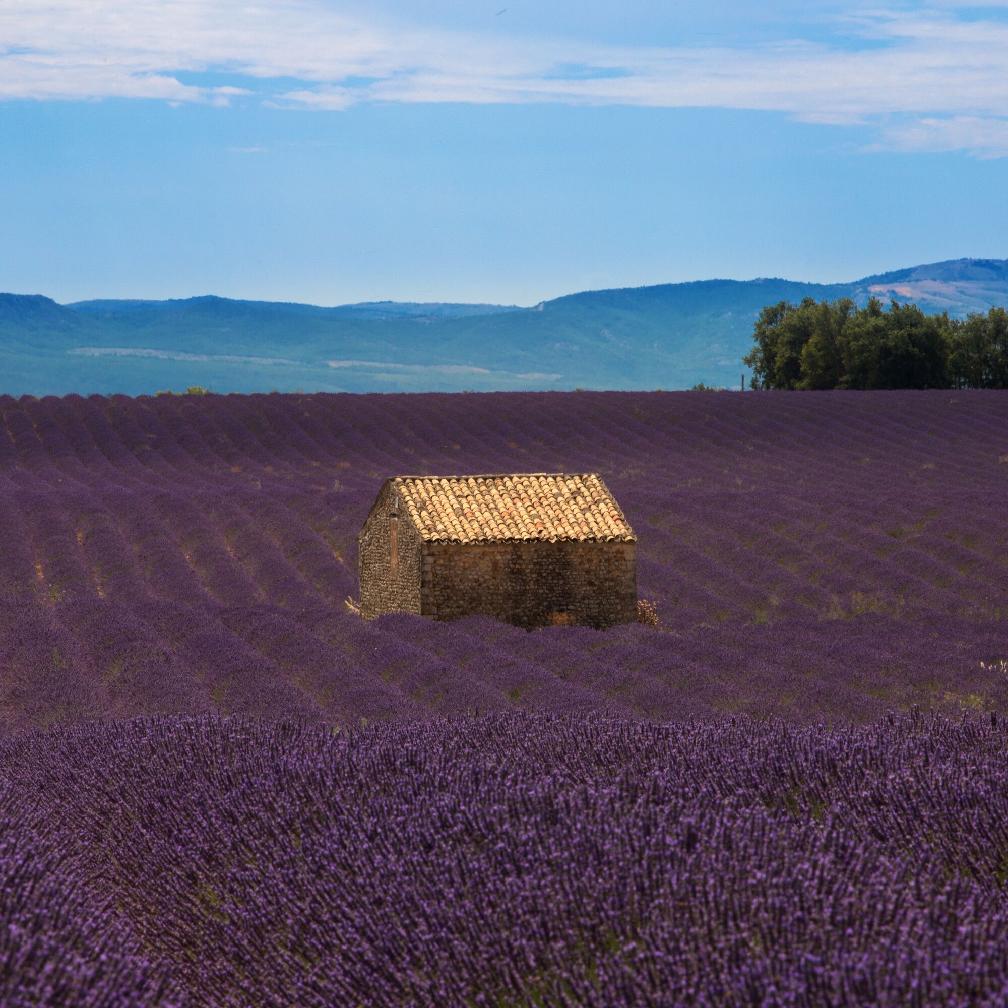
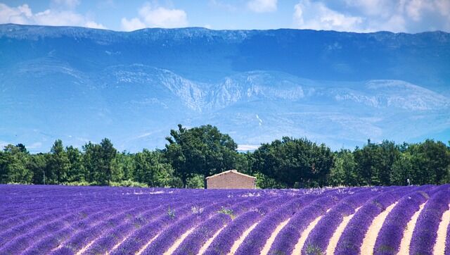
This route invites you to discover the Plateau de Valensole and its lavender fields stretching as far as the eye can see.
From Gréoux-les-Bains, the circuit heads towards Puimoisson, through the narrow...
This route invites you to discover the Plateau de Valensole and its lavender fields stretching as far as the eye can see.
From Gréoux-les-Bains, the circuit heads towards Puimoisson, through the narrow Colostre valley, crossing the charming villages of Saint-Martin-de-Brômes, Allemagne-en-Provence, and Riez. From the top of the plateau, vast panoramas of the surrounding mountain ranges will open up to you.
Recommended period: spring - autumn. Summer strongly discouraged.

Igen
In case of emergency, call 112
Consider carpooling
Prefer the train for your travel
Parking near the starting point
3
APIDAE Tourism data updated on 04/14/2020 by "Vélo Loisir Provence".
An error on this sheet? Write to the owner recalling these references:
Sheet name: Loop of the Plateau de Valensole | Sheet identifier: 5270969 | URL (link) of this Outdooractive page.
Népszerű túrák a környéken
-
5,0
Les Gorges de Baudinard
közepesKajak / Kenu 8,26 km -
4,0
Hiking route "Canal Guardian's Trail"
könnyűKirándulás 9,82 km -
The Mediterranean by bike
nehézBiciklizés 461,2 km -
VTT FFC Site - Provence Verdon - Route 1 - Black
nehézMountainbike 61,6 km -
Cycling along the water and the unique history of the Verdon
nehézOrszágúti kerékpározás 134,0 km -
Itinéraire pédestre "Le Bois Saint-Martin"
könnyűKirándulás 9,37 km -
Site VTT FFC - Provence Verdon - Circuit 43 - Bleu - Montagnac-Montpezat
könnyűMountainbike 16,5 km -
Itinéraire pédestre "Buffe Arnaud"
könnyűKirándulás 11,6 km -
Hiking route "Les Maurras"
könnyűKirándulás 12,0 km -
2,5
Walking route "Botanical Trail"
könnyűKirándulás 6,05 km
Túrázás & nyomkövetés


Ne maradjon le az ajánlatokról és az inspirációról a következő nyaralásához!
Az Ön e-mail címe hozzá lett adva a levelezőlistához.