


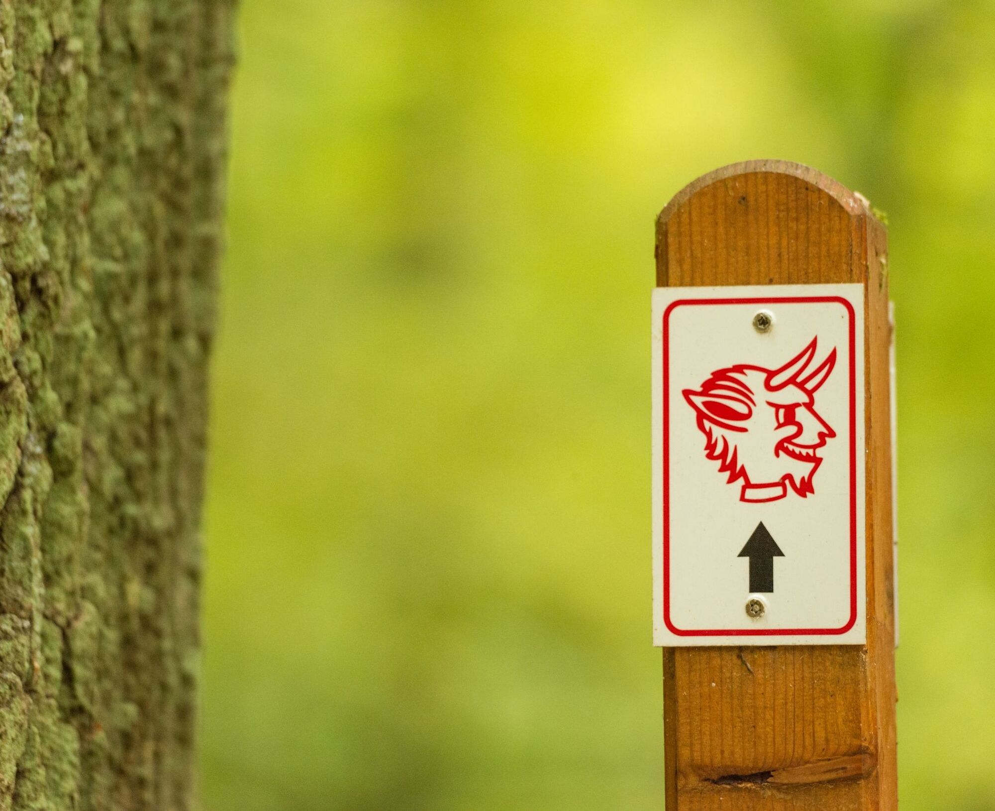
Teufelstour - Olsbrücken


Supported by 1. FCK, the path could be signposted with the devil logo from Betzenberg.
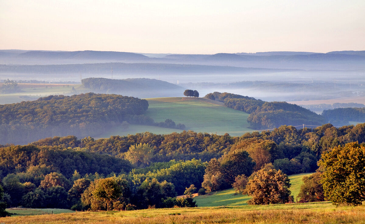
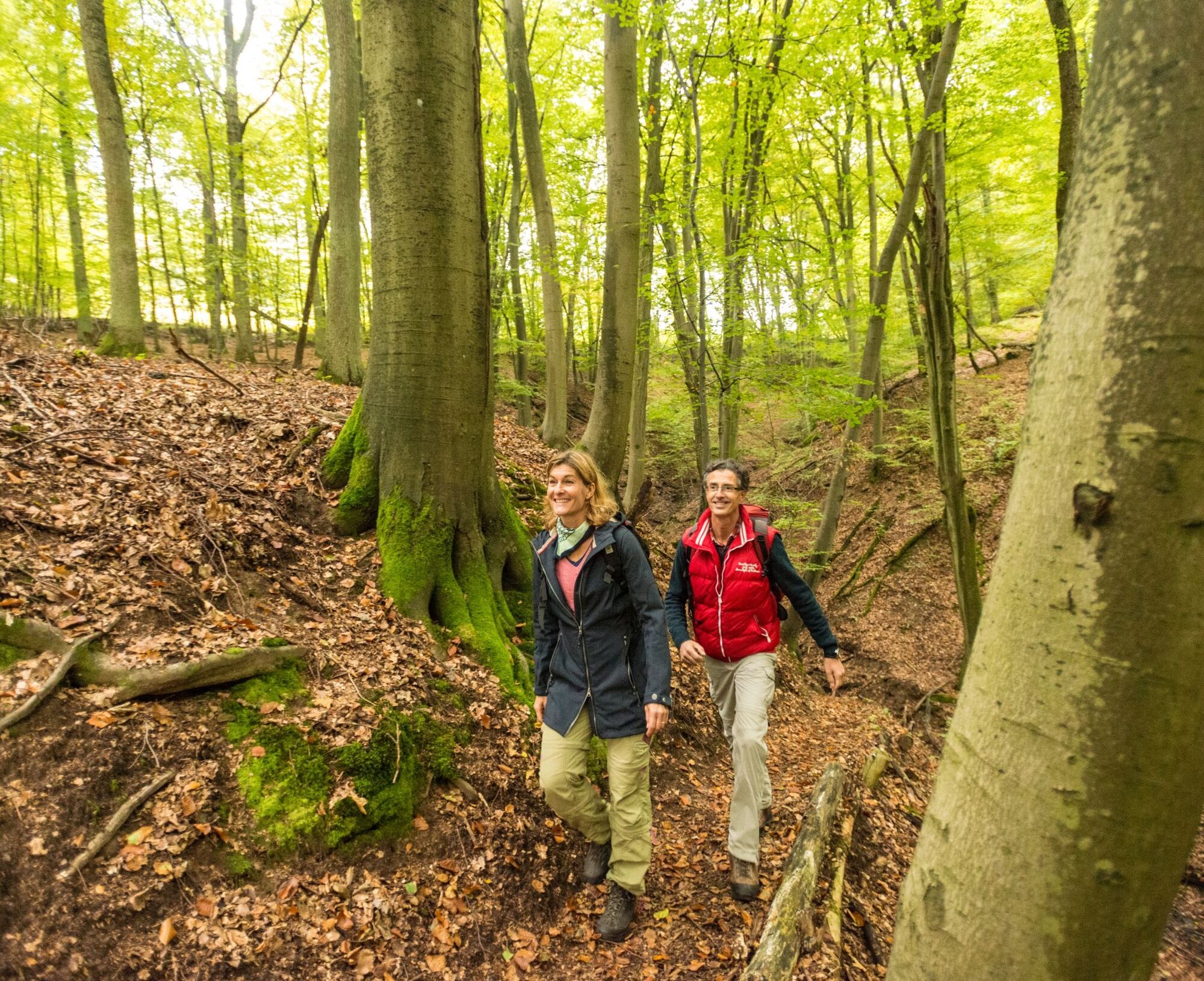
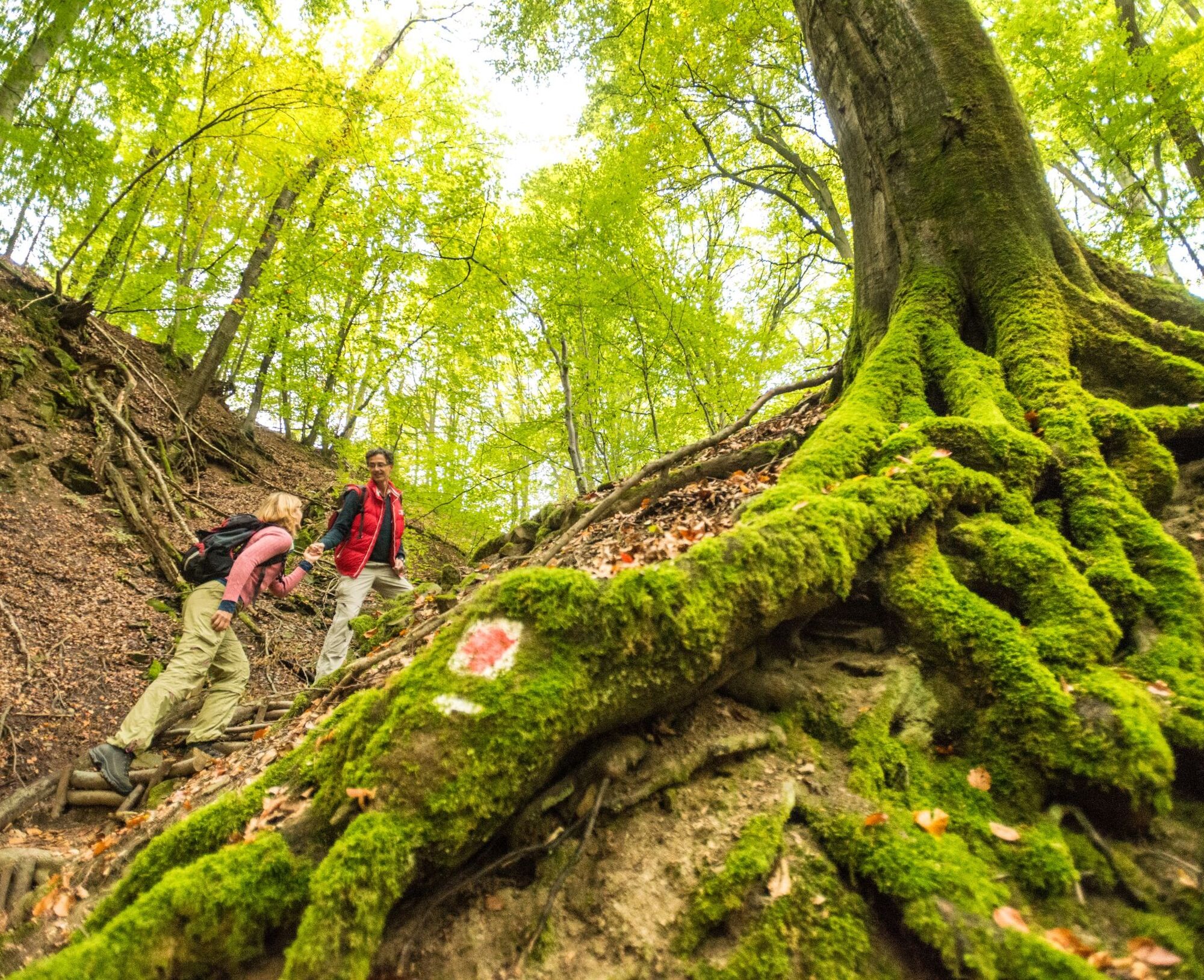
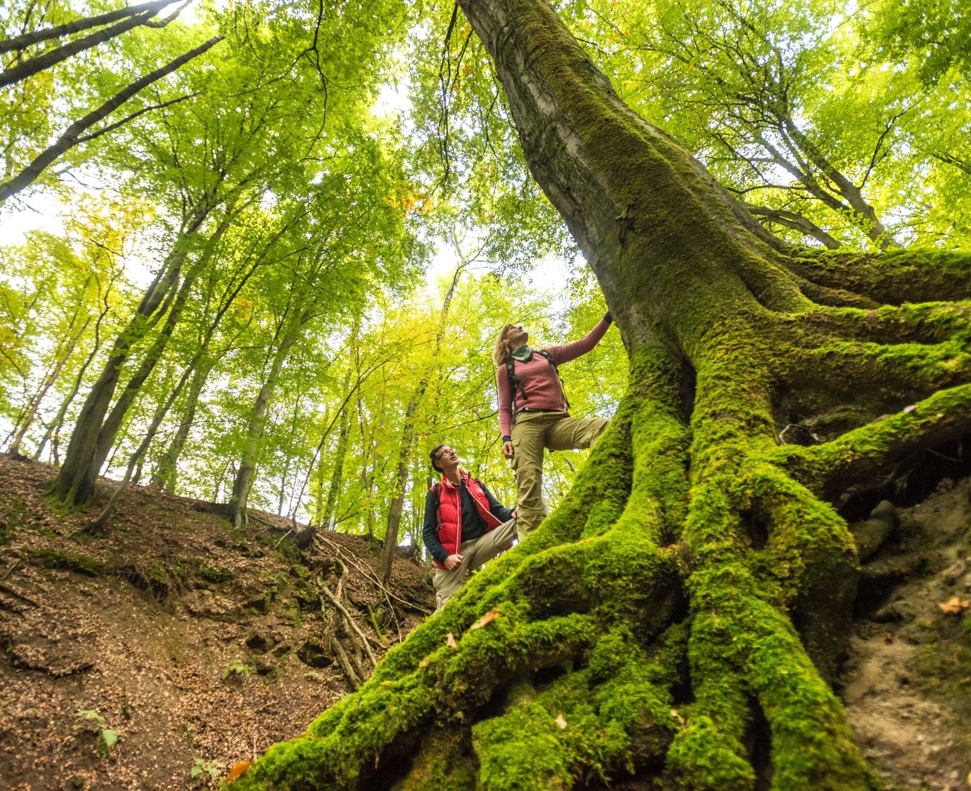
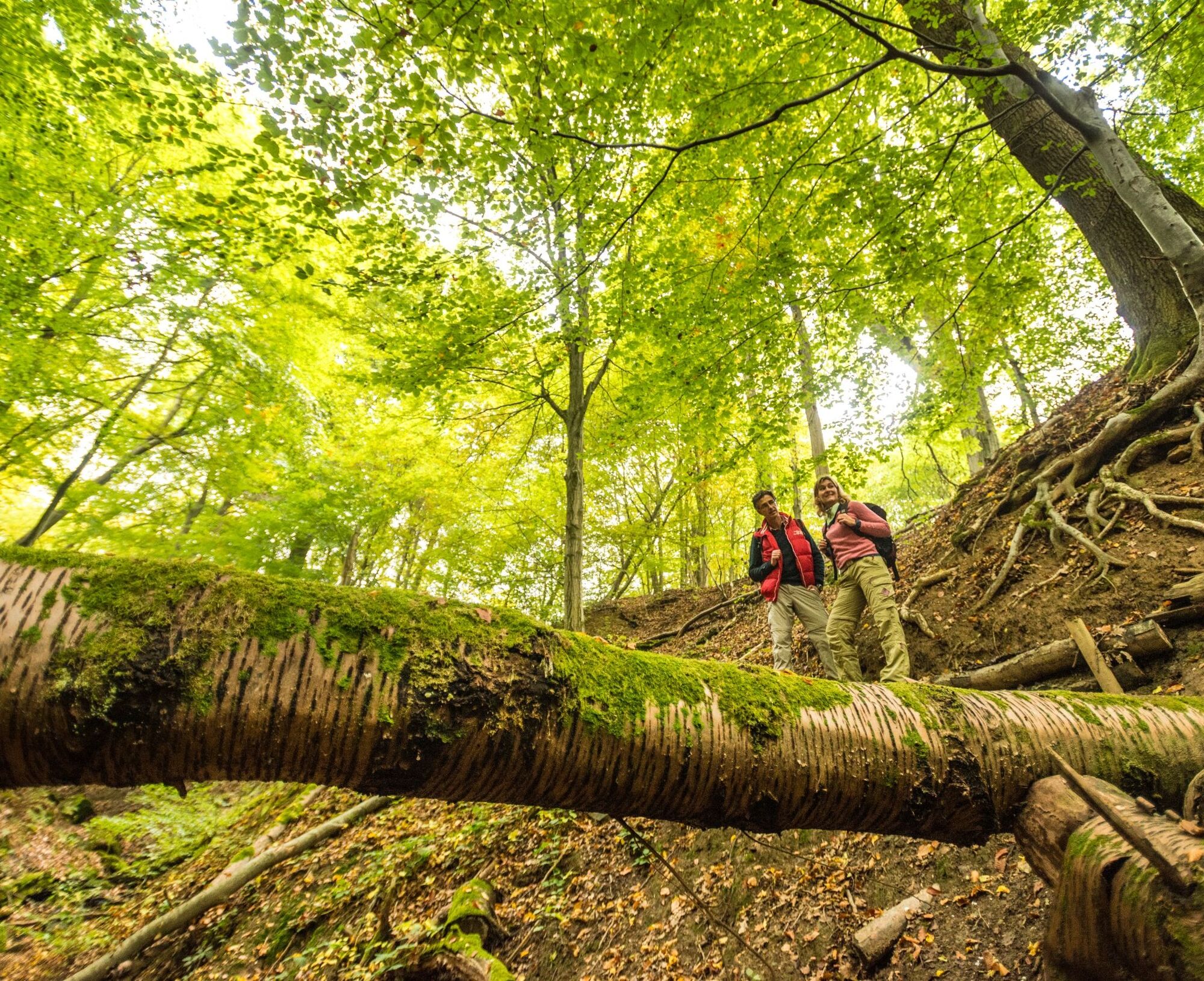
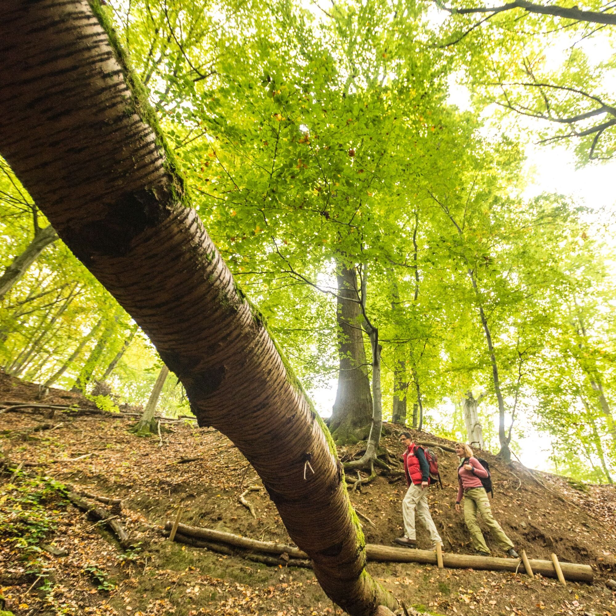
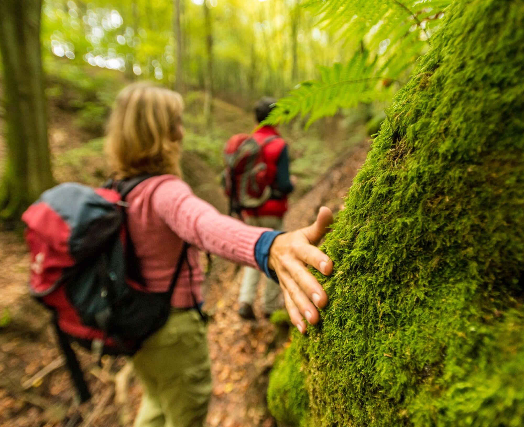
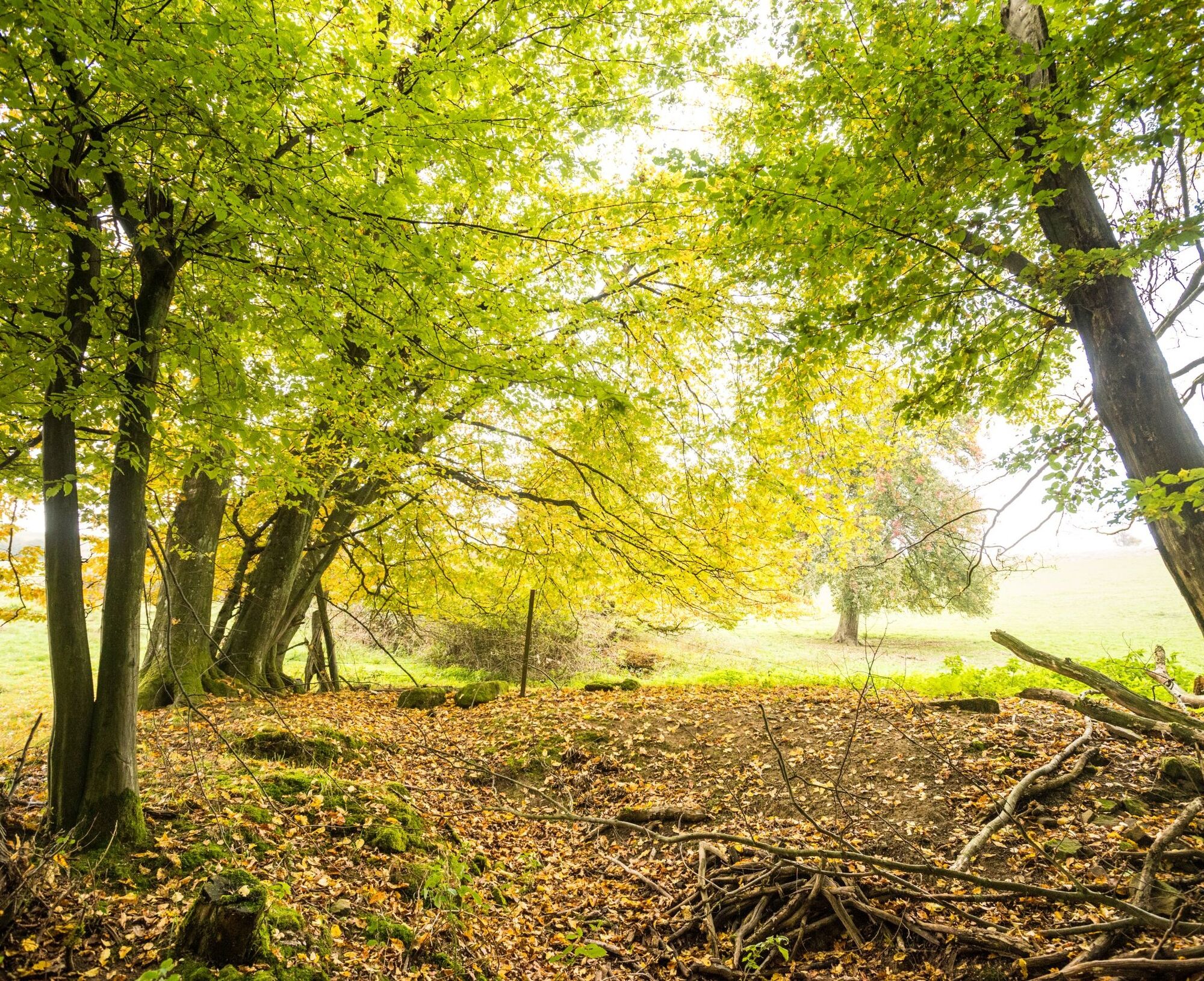
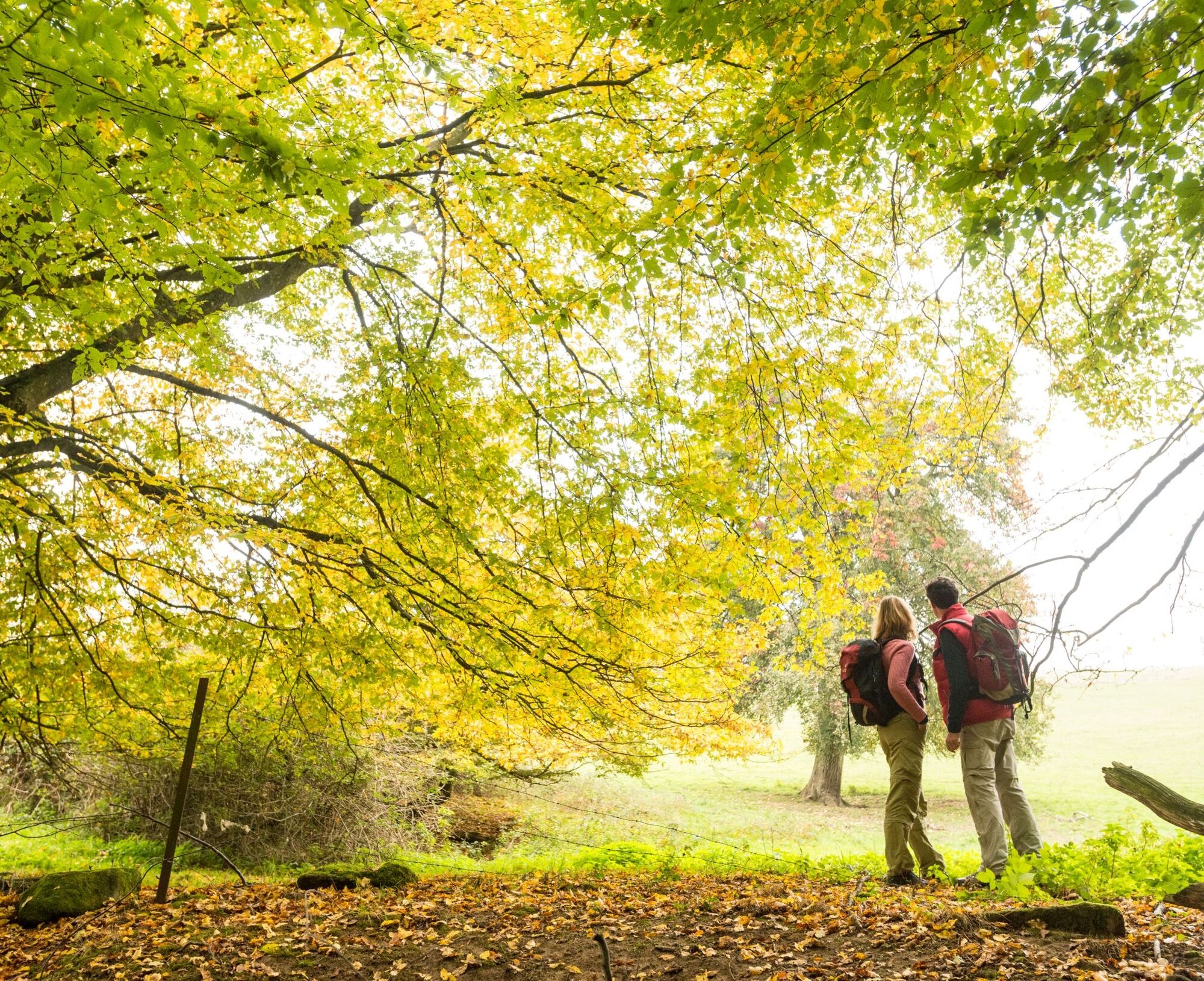
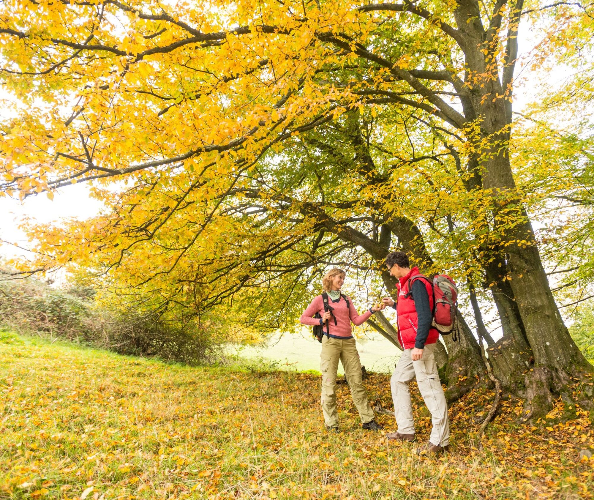
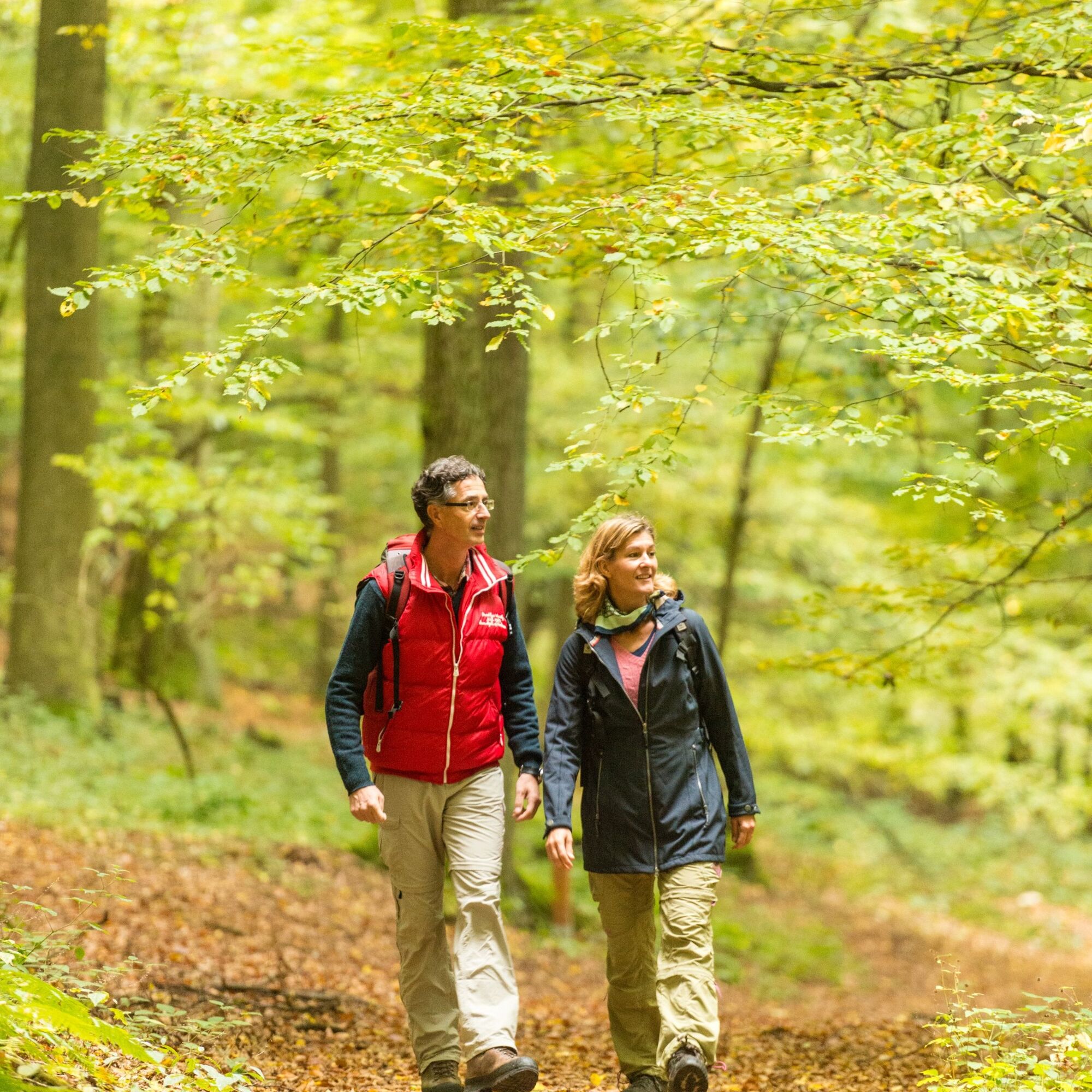
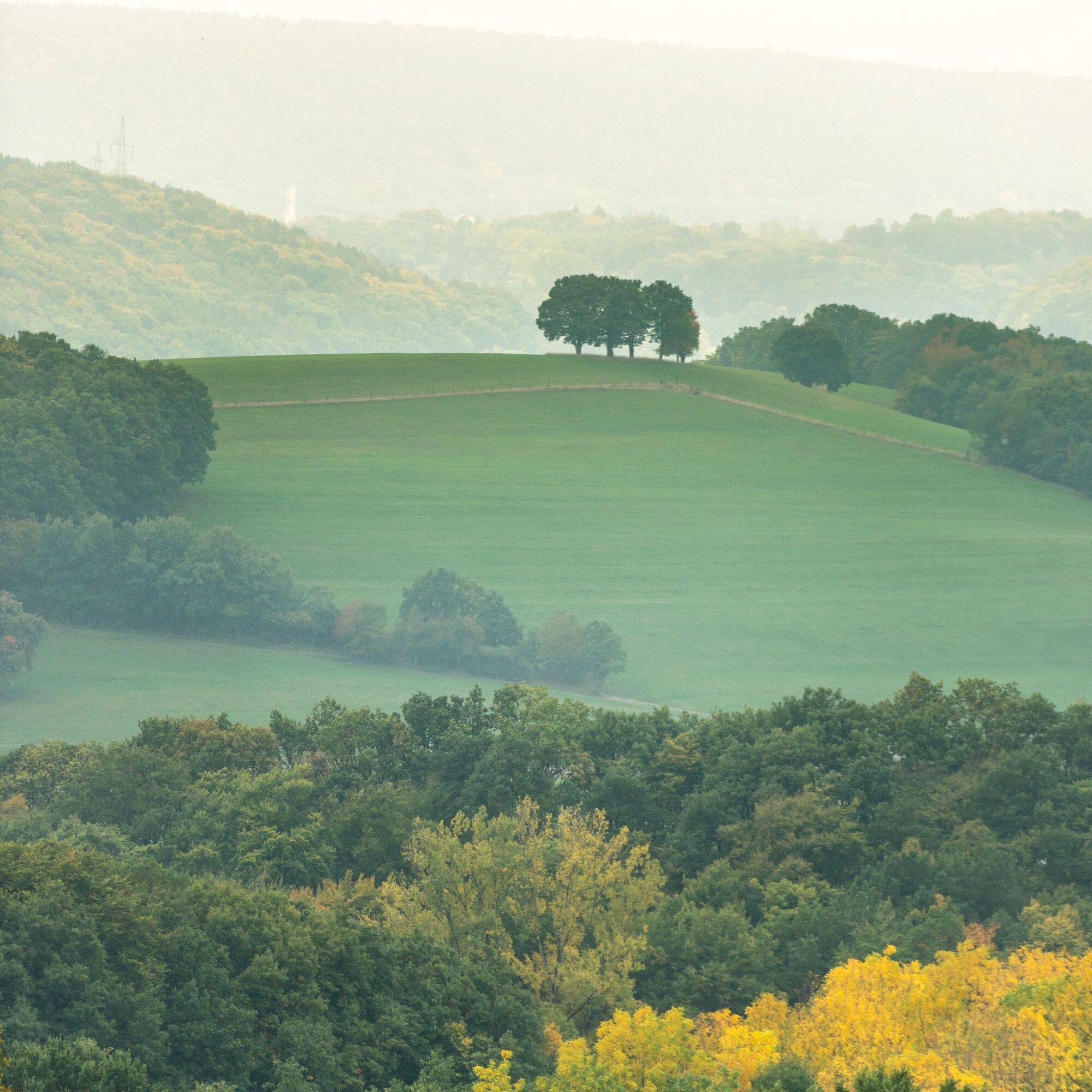
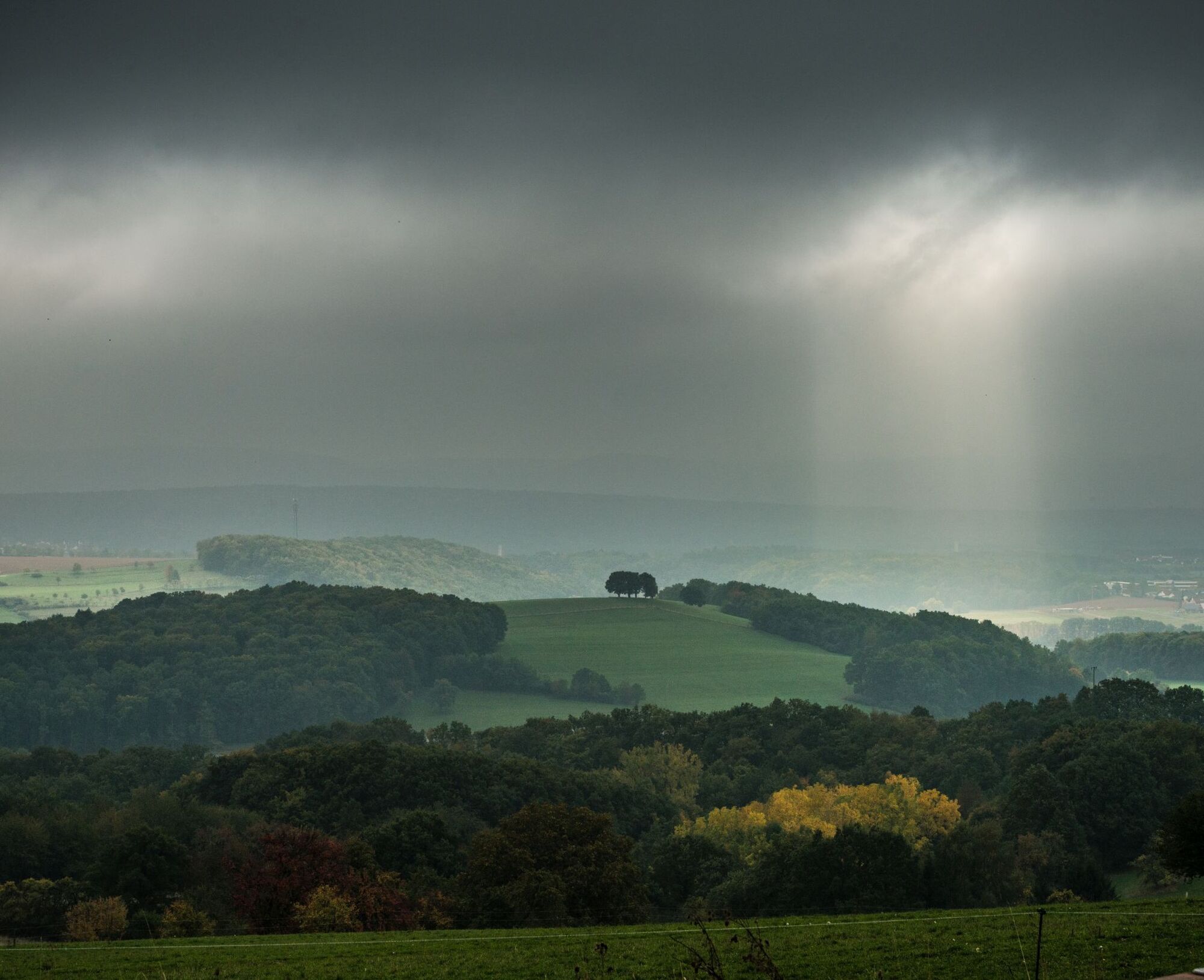
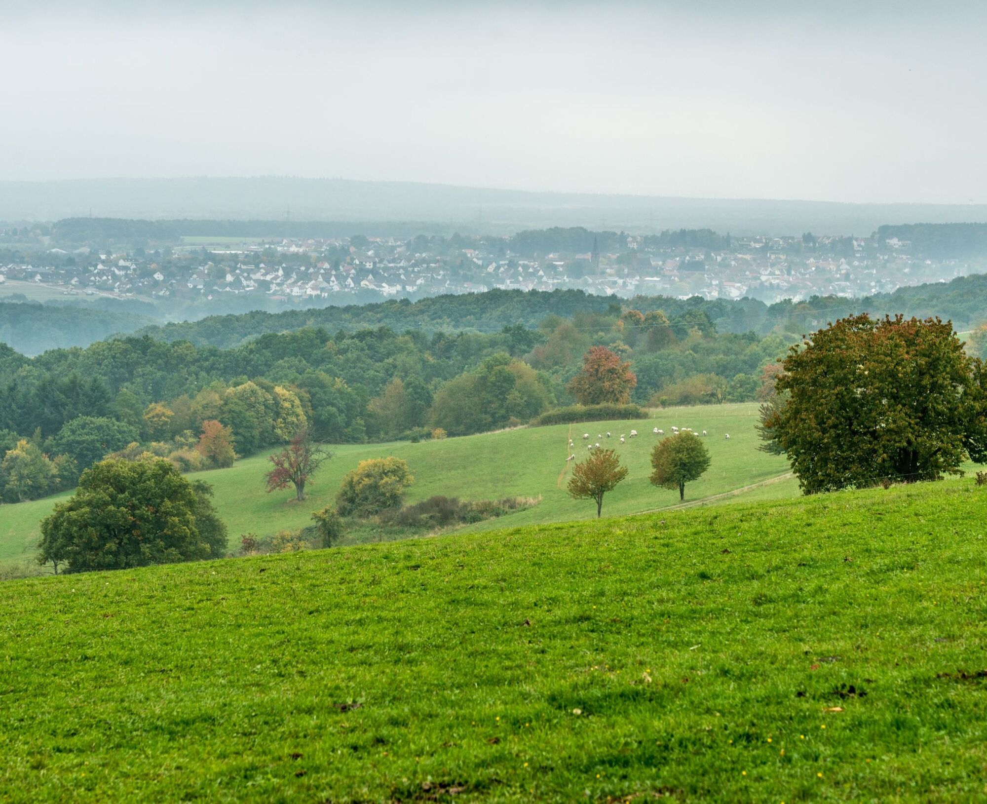
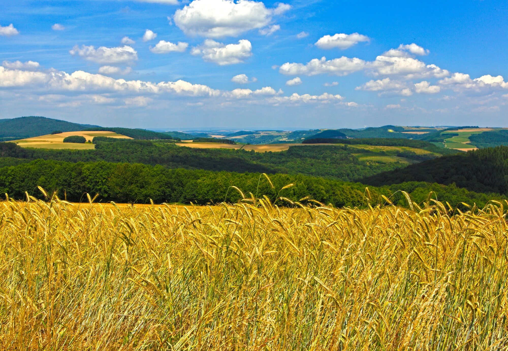
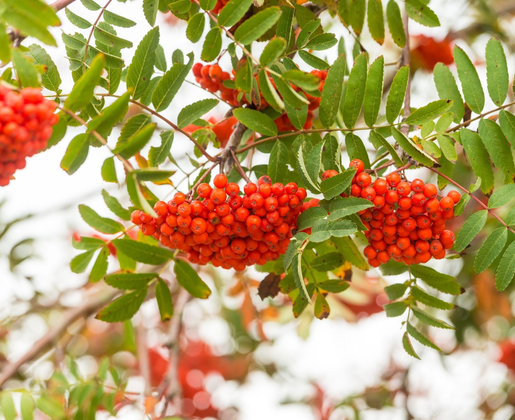
The mix of wild romantic stream valleys, steep ascents and breathtaking views over the Palatinate Highlands, the Palatinate...
Supported by 1. FCK, the path could be signposted with the devil logo from Betzenberg.
The mix of wild romantic stream valleys, steep ascents and breathtaking views over the Palatinate Highlands, the Palatinate Forest up to the Donnersberg, makes the Teufelstour with its 15 km a unique discovery tour of the Palatinate.
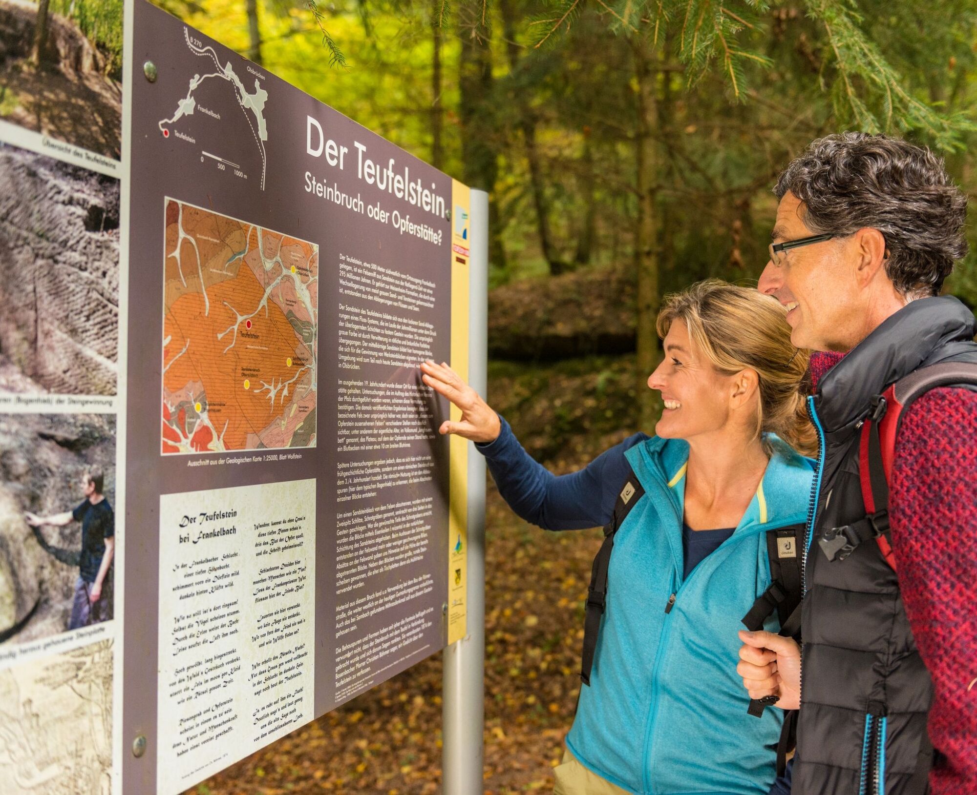
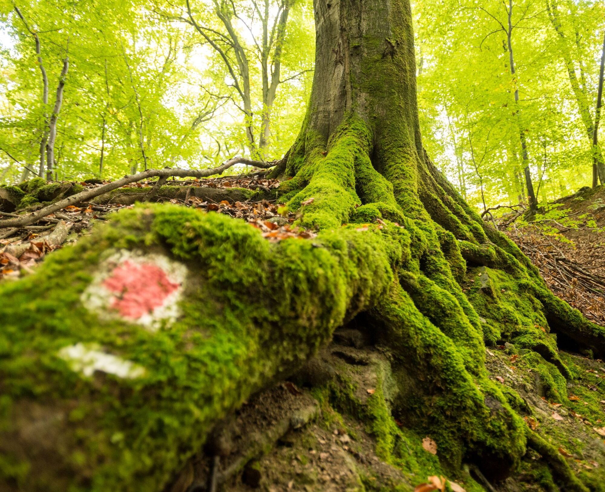
On narrow paths and trails with a high proportion of natural paths, nearly 300 million years of earth history are traversed. Past old and still active quarries, the ambitious hiker can inform themselves at several geological information boards from the State Office for Geology and Mining.
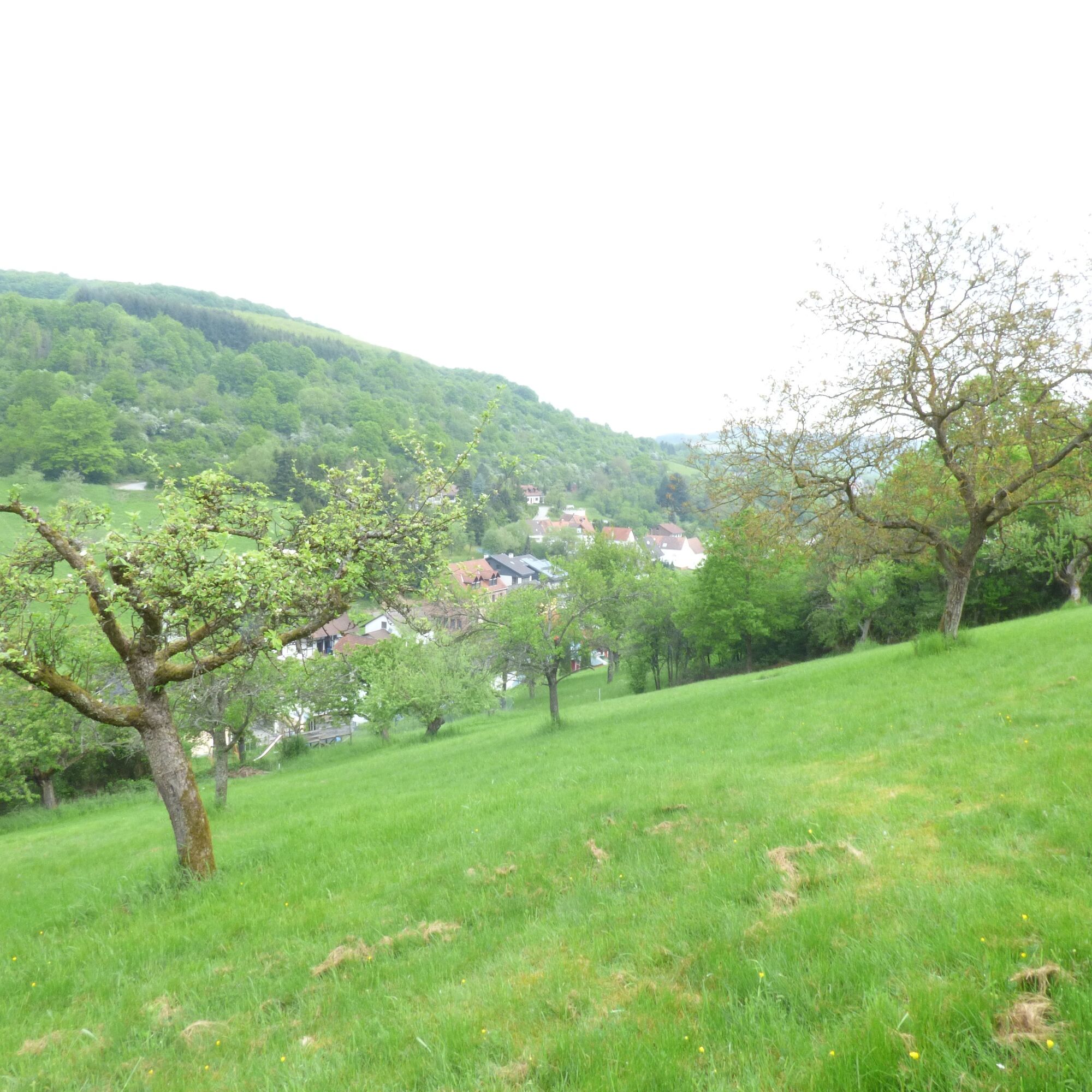
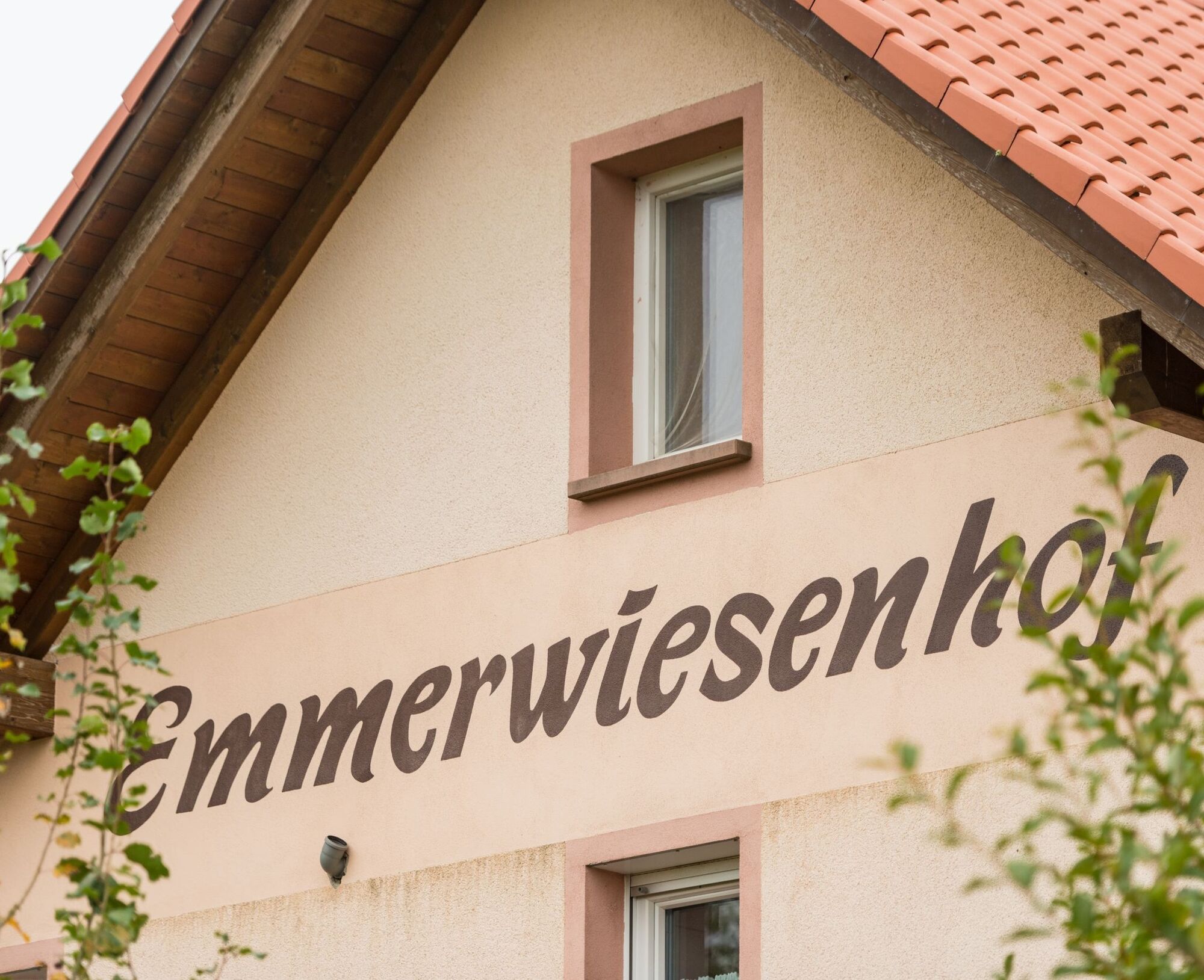
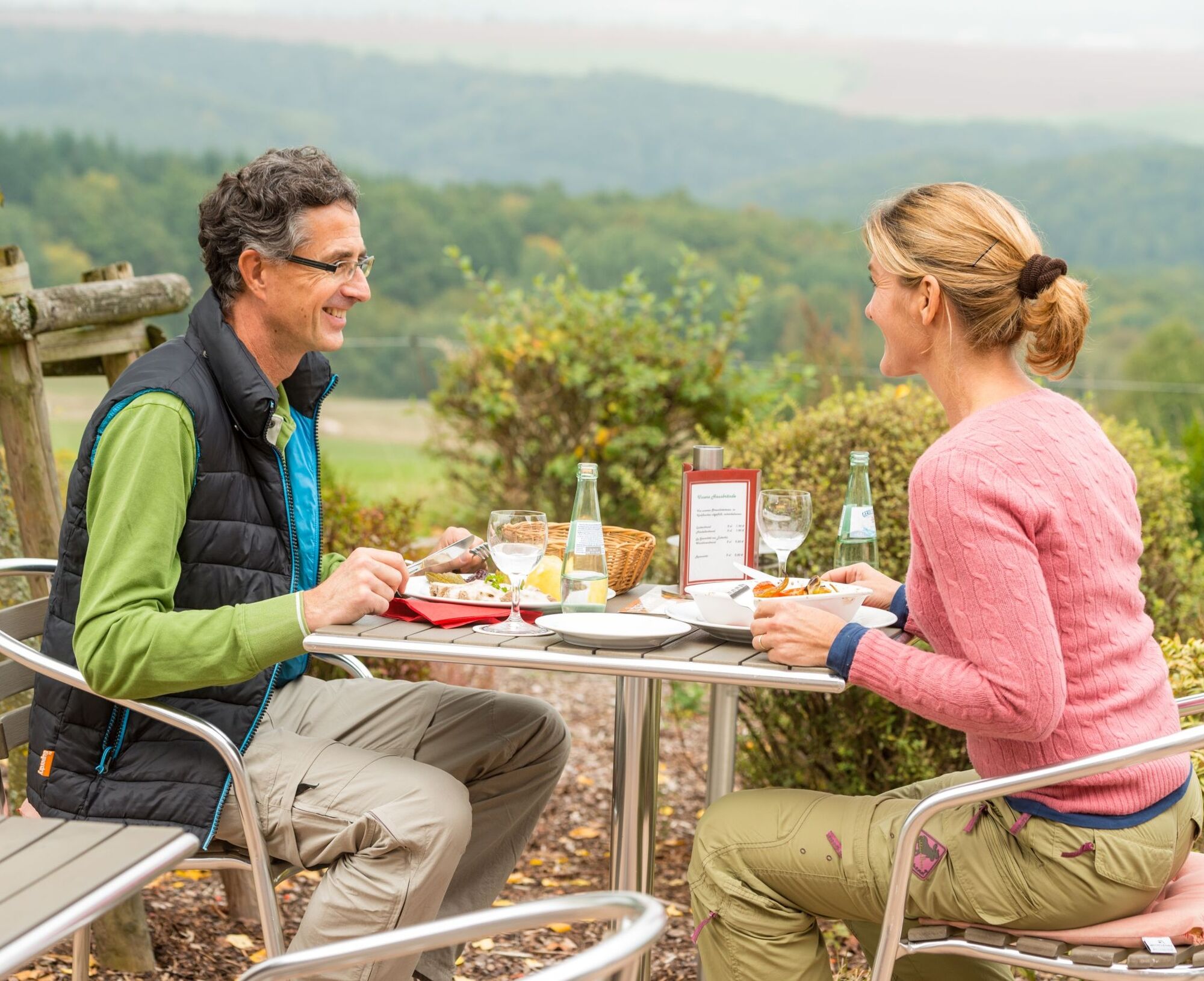
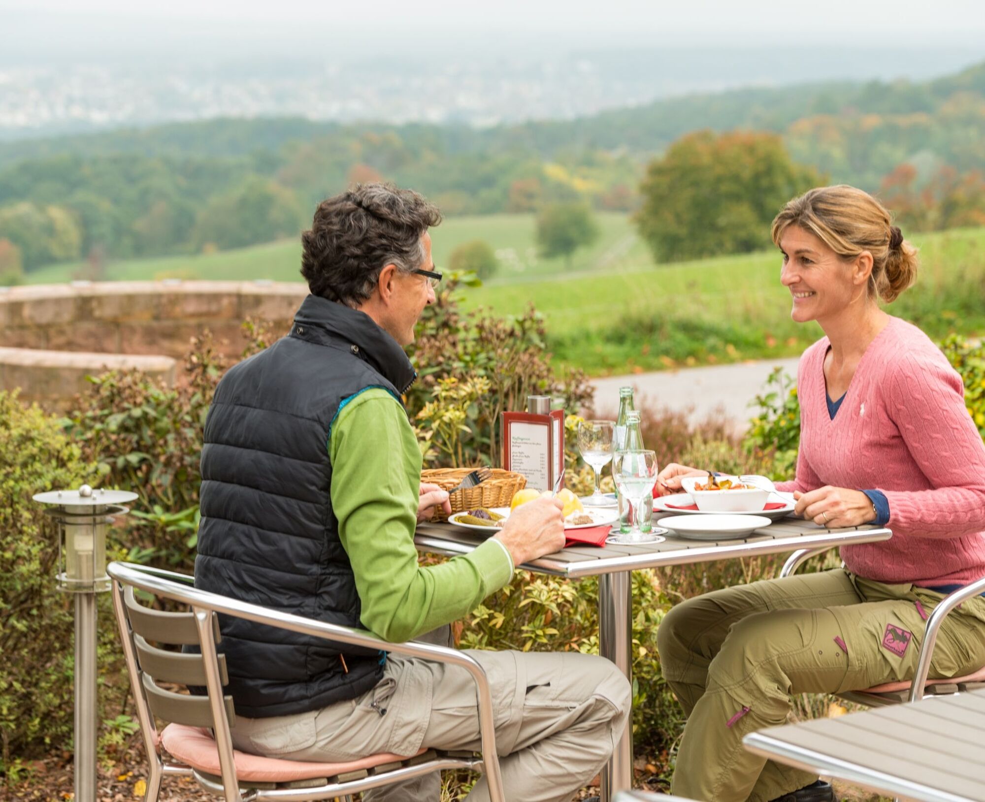
Active relaxation when hiking naturally also includes breaks. Along the Teufelstour you will find numerous beautiful spots to rest and linger. The Panorama inn Emmerwiesenhof in Eulenbis invites you directly on the premium hiking trail to stop in.
WARNING! - Campaign for considerate coexistence in nature
- Always act with foresight, friendly and considerate towards everyone you meet on the way.
- Pay attention to nature, do not destroy plants and always stay on the paths.
- Think of a garbage bag for on the way and take waste back home with you.
- Please always keep your dog on a leash. Other visitors and animals will thank you.
- Observe all path closures for your own safety. Also on weekends.
- Park only in designated parking spaces. Leave room for rescue routes and agricultural machinery.
- Give priority to agricultural and forestry traffic, please.


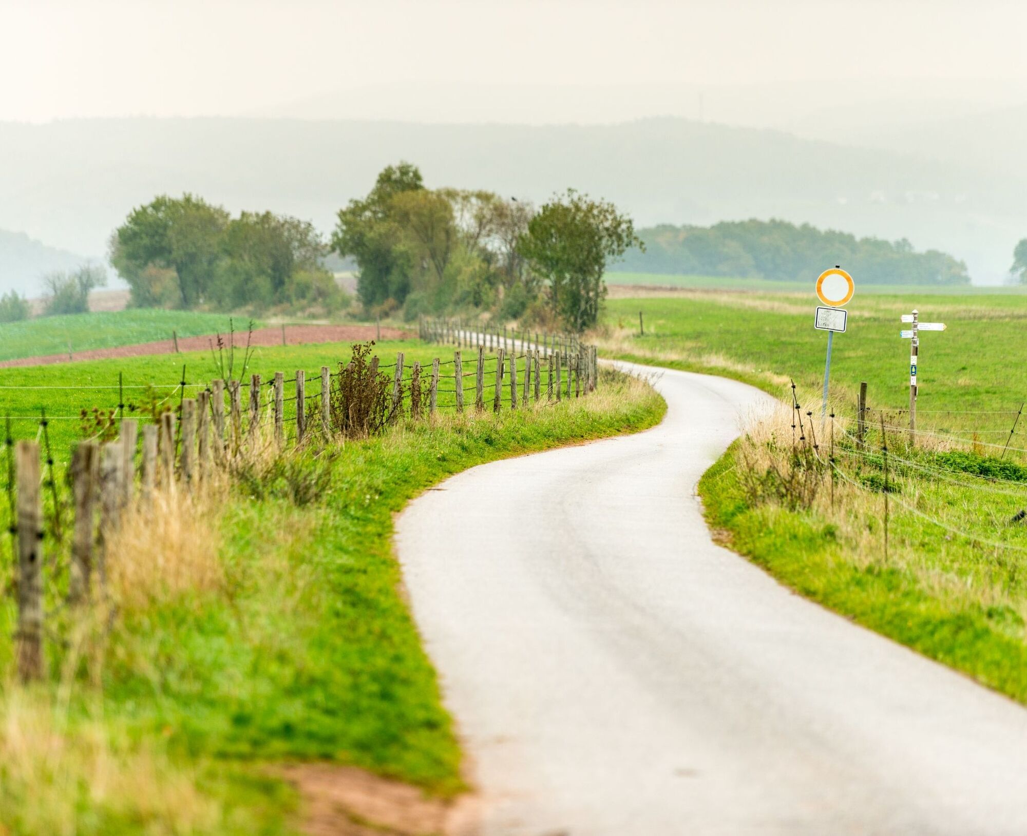
Olsbrücken (hiking station) – street "Am Bahnhof" to the northwest – at the street (which turns right over the tracks) turn left, go up the path – Steilrech – Tiefental – Teufelstein – Sonnhaller Forest – Platte – Sulzbachtal quarry – gorge in Dieterswald – Eulenbis (Friedhofstraße) – turn left – Panorama inn Emmerwiesenhof (possibility to eat) – turn right – Black Forest – Hirschhorner Bordenmühle – Lautertal – Untersulzbach station
Please note: A connecting route has been signposted between the municipalities of Sulzbachtal and Olsbrücken. The arrow signposts with a yellow tip mark the path between the centre of Sulzbachtal (village fountain) and the hiking station in Olsbrücken.
Igen
For our hiking routes, we recommend the following equipment as standard:
- sturdy footwear
- weather-appropriate clothing
- sun and rain protection
- sufficient supply of food and drinks, as there are not always places to eat or shop everywhere or they may be closed.
- Even though the paths are very well signposted throughout, it is advisable for safety reasons to always carry a suitable
hiking map so that, for example in the event of a thunderstorm or emergency, you can quickly find a safe area.
- Hiking poles recommended.
General information:
Especially in autumn, care must be taken that fallen leaves on the ground can cover unevenness, roots, stones or holes in the path. After thunderstorms or heavy rain, trees can still fall or branches can fall afterwards. Especially in adverse weather conditions, natural paths can have muddy and slippery sections. Not all rocks or cliffs are secured with ropes or railings. Surefootedness is sometimes required. You must expect such path impairments when going on a hike. If you think certain sections are not passable for you, you should avoid them.
NOTE:
We strive to announce all closures caused by forestry work or hunting associations on this platform. Nevertheless, there are situations where hiking trails are closed and we may not have been informed. If you unexpectedly encounter a closure or detour, please follow the instructions for your own safety.
Motorway A6 to exit 15 (Kaiserslautern West).
Via B270 towards Otterbach/Wolfstein to Olsbrücken.
Recommended alternative arrival: via B270 to Sulzbachtal, then by train (direction Lauterecken) to Olsbrücken and hike back or vice versa.
By train via Kaiserslautern on the hour (Lautertalbahn) to Sulzbachtal or Olsbrücken. Timetable information at www.bahn.de or www.der-takt.de
Hiking parking lot at hiking station 67737 Olsbrücken, Coordinates: 49° 32' 19'' N / 7° 39' 7'' E
Hiking parking lot, Pferchstraße, 67734 Sulzbachtal, Coordinates: 49° 31' 20'' N / 7° 39' 49'' E
Hiking parking lot at the community centre, Schulstraße 18, 67737 Frankelbach, Coordinates: 49° 32' 3'' N / 7° 38' 5'' E
Igen
Otterbach-Otterberg collective municipality
Tourist Information
Hauptstraße 54, 67697 Otterberg
Tel.: 06301/607800
www.otterbach-otterberg,de
Email: tourist-info@otterbach-otterberg.de
You can request the accommodation directory as a *.pdf file via one of the following addresses:
- tourist-info@otterbach-otterberg.de
- http://weilerbach.de/tourismus/index.html
Possibility to eat and stay overnight
Panorama inn & holiday apartments Emmerwiesenhof, in Eulenbis Tel. 06374-4030
Attractions
Sulzbachtal
Quarry with geo-information board
Bell tower, Hauptstraße
Celtic grave with information board
Bordenölschönheitsmühle, www.bordenoelmuehle.de
Olsbrücken
Protestant church, Wörsbacher Straße, www.evpfalz.de
Neumühle with millstones, Hauptstraße
Frankelbach
Exhibition of solid wood objects, woodworking shop, Eckstraße 1, www.holzwerkstatt-frankelbach.de
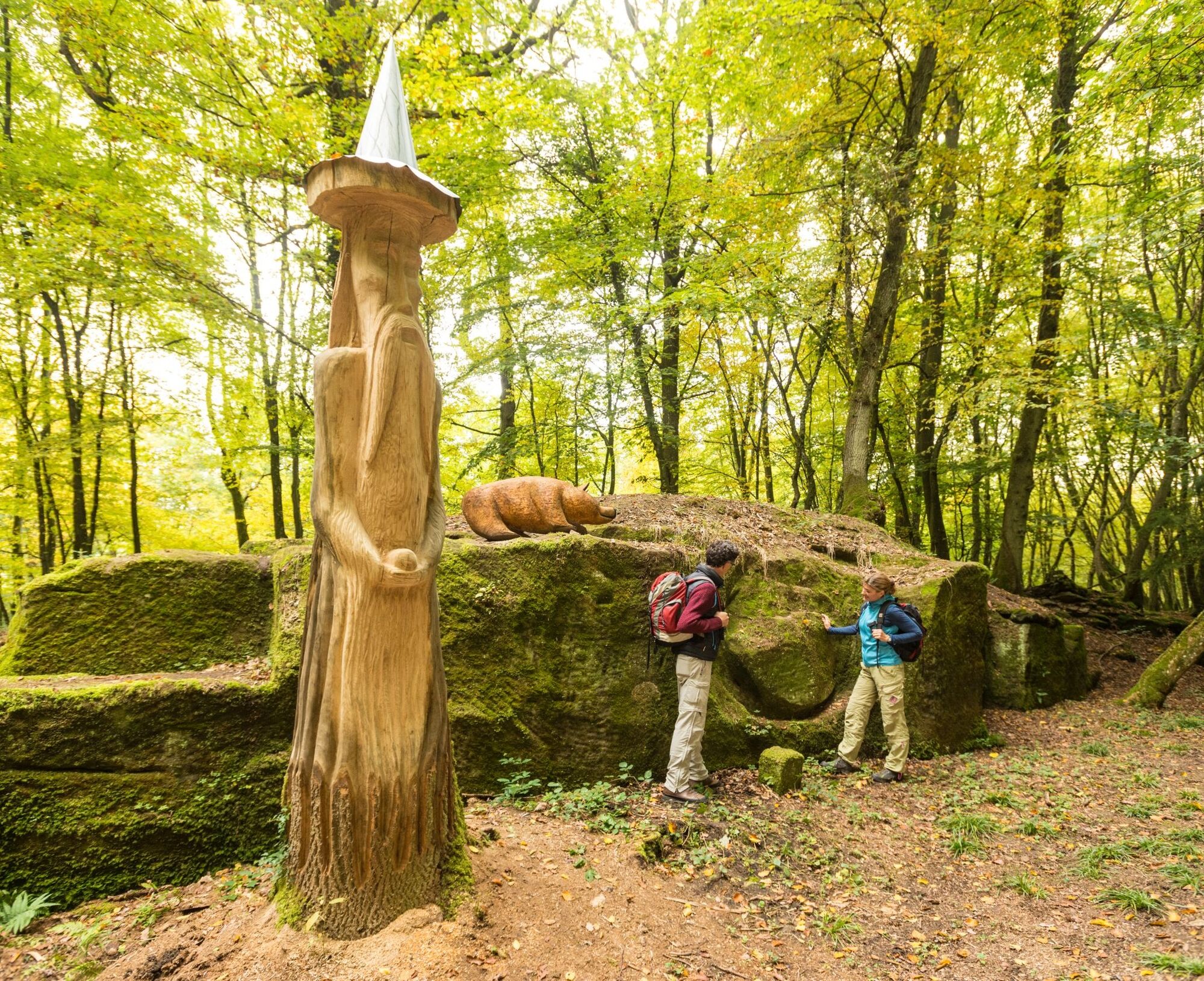
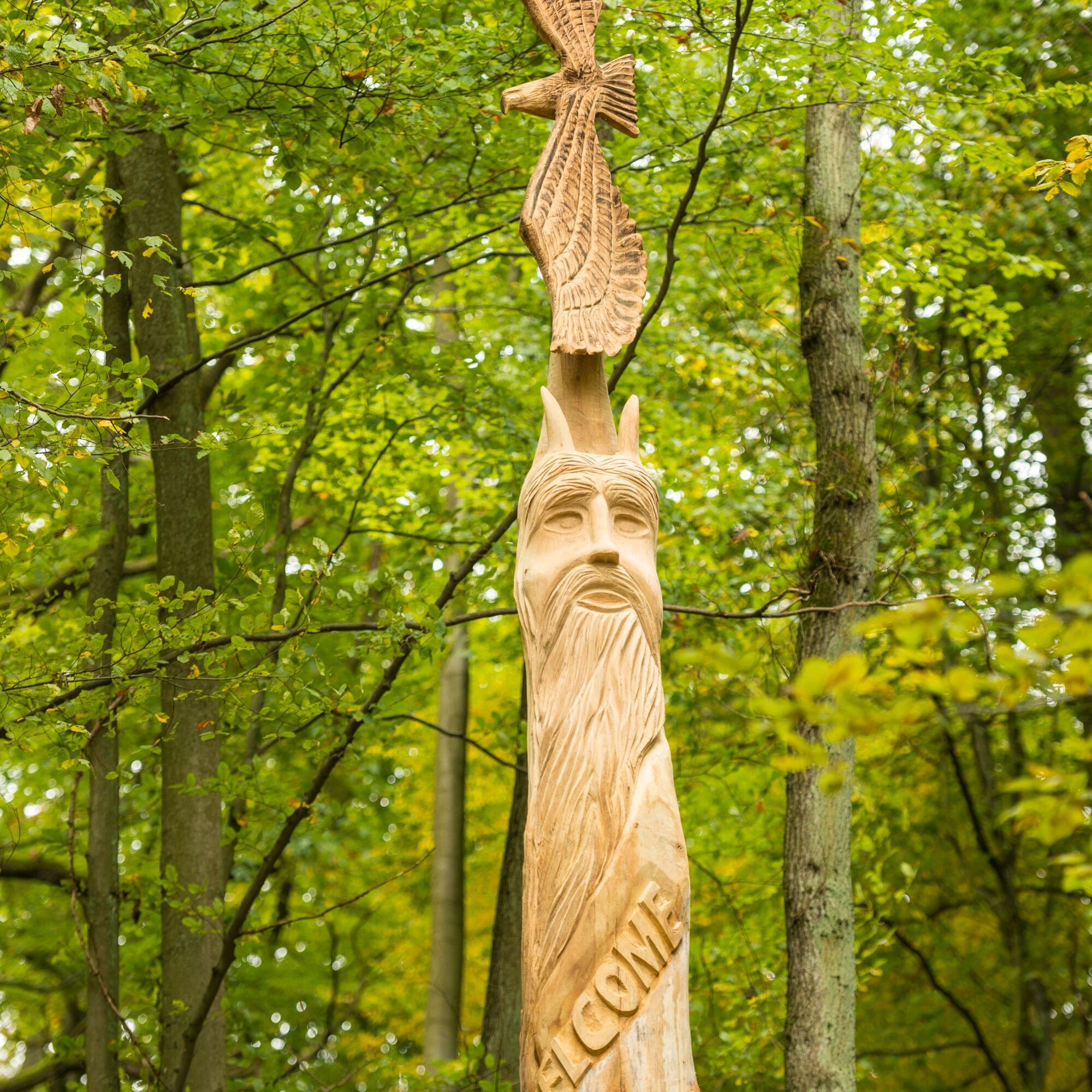
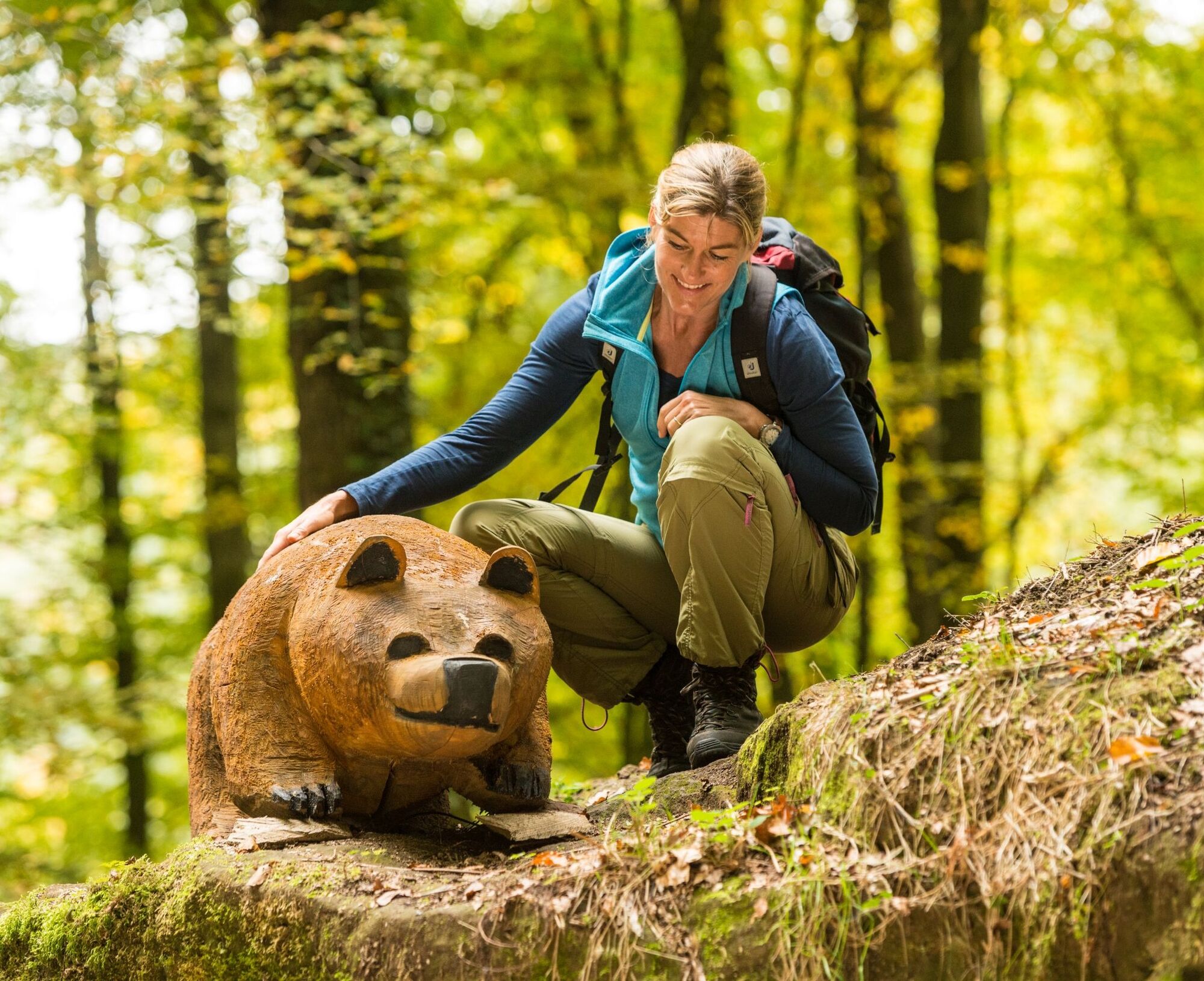
Teufelstein with geo-information board
Adventure playground in Wiesengrund
Landscape in transition - viewpoint at Steilrech
Eulenbis
Observation tower on Eulenkopf
Beerewei(n) museum, Hauptstraße 8, Tel. 06374-1310
Sculpture "Life disc"
Viewpoint "Belvedere"
Wood carving & carving school, Im Steineck 36, Tel. 06374-993099
Link:
New video about the Teufelstour by Pfalz-bewegt.de
Hiking guide of the Otterbach-Otterberg collective municipality:
Mario Marx
Mobile 0177/8272579
Email: marimarx@web.de
Népszerű túrák a környéken
-
Mehlingen - Small round through the Mehlinger Heide
könnyűKirándulás 4,70 km -
Hinkelsteinweg - complete route
közepesKirándulás 41,7 km -
4,0
Otterberg - Circular Hiking Route 5 - Springs Circular Hiking Route
könnyűKirándulás 6,91 km -
5,0
Glan-Blies cycle path | Waldmohr - Staudernheim
közepesTávolsági kerékpározás 74,9 km -
Katzweiler - Himmelstour
közepesKirándulás 10,3 km -
Otterberg - Hinkelsteinweg (Southern Route)
közepesKirándulás 21,8 km -
Katzweiler - Humberg-Tour (Rundweg)
nehézKirándulás 13,0 km -
Otterberg - Rundwanderweg 3 - Wallonen-Rundwanderweg
közepesKirándulás 10,7 km -
Heiligenmoschel - Planet trail
közepesTanösvény 7,10 km -
Wolfstein - Gipfelsteig zum Königsberg
nehézTanösvény 8,11 km

Túrázás & nyomkövetés


Ne maradjon le az ajánlatokról és az inspirációról a következő nyaralásához!
Az Ön e-mail címe hozzá lett adva a levelezőlistához.