


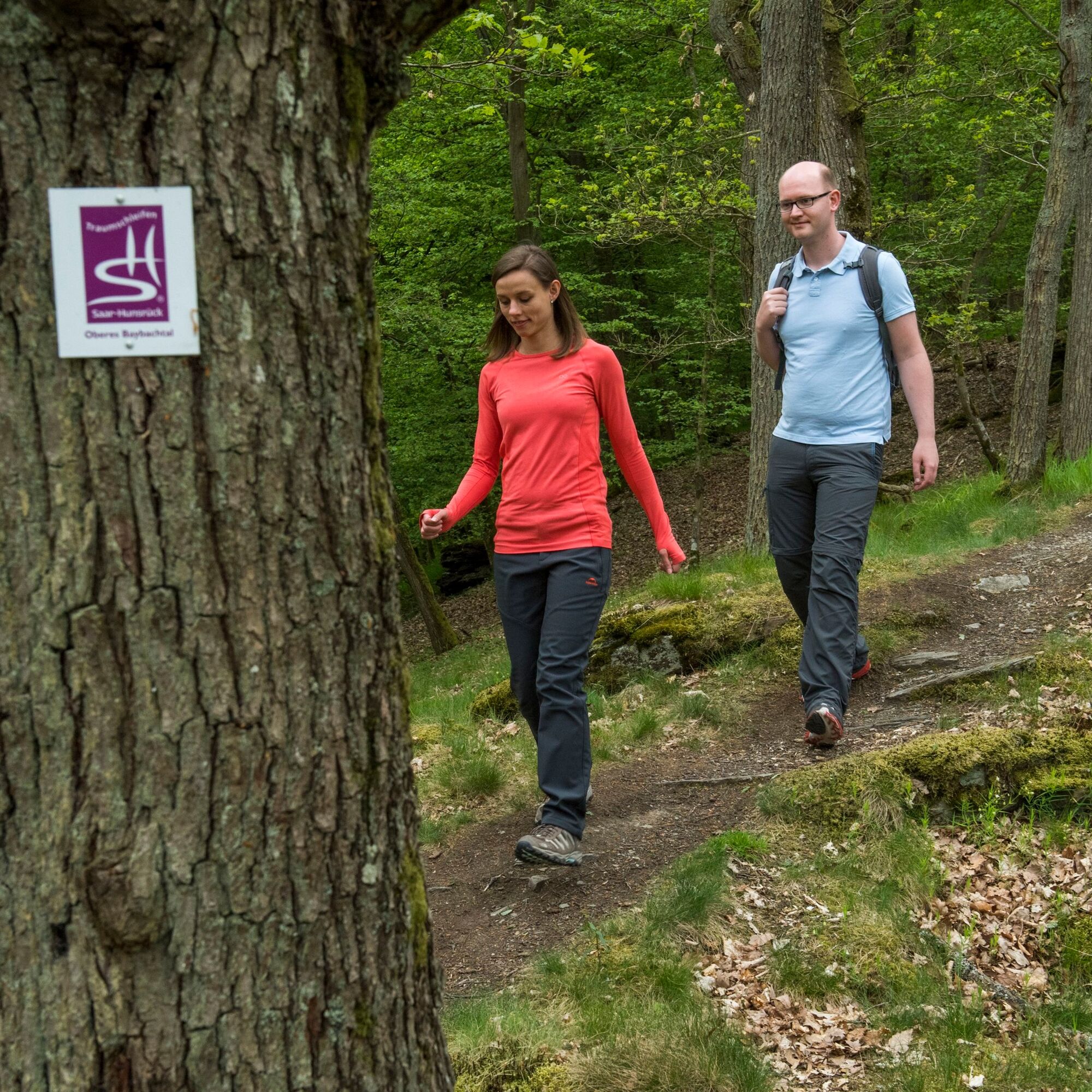
Dream Loop Upper Baybach Valley
Nehézségi szint: T2


The entire path consists of an alternation between meadow and field paths as well as passages through partly dense forest. It is a joint project of the local communities Leiningen, Niedert, Bickenbach,...
The entire path consists of an alternation between meadow and field paths as well as passages through partly dense forest. It is a joint project of the local communities Leiningen, Niedert, Bickenbach, Schwall, and the town of Emmelshausen.
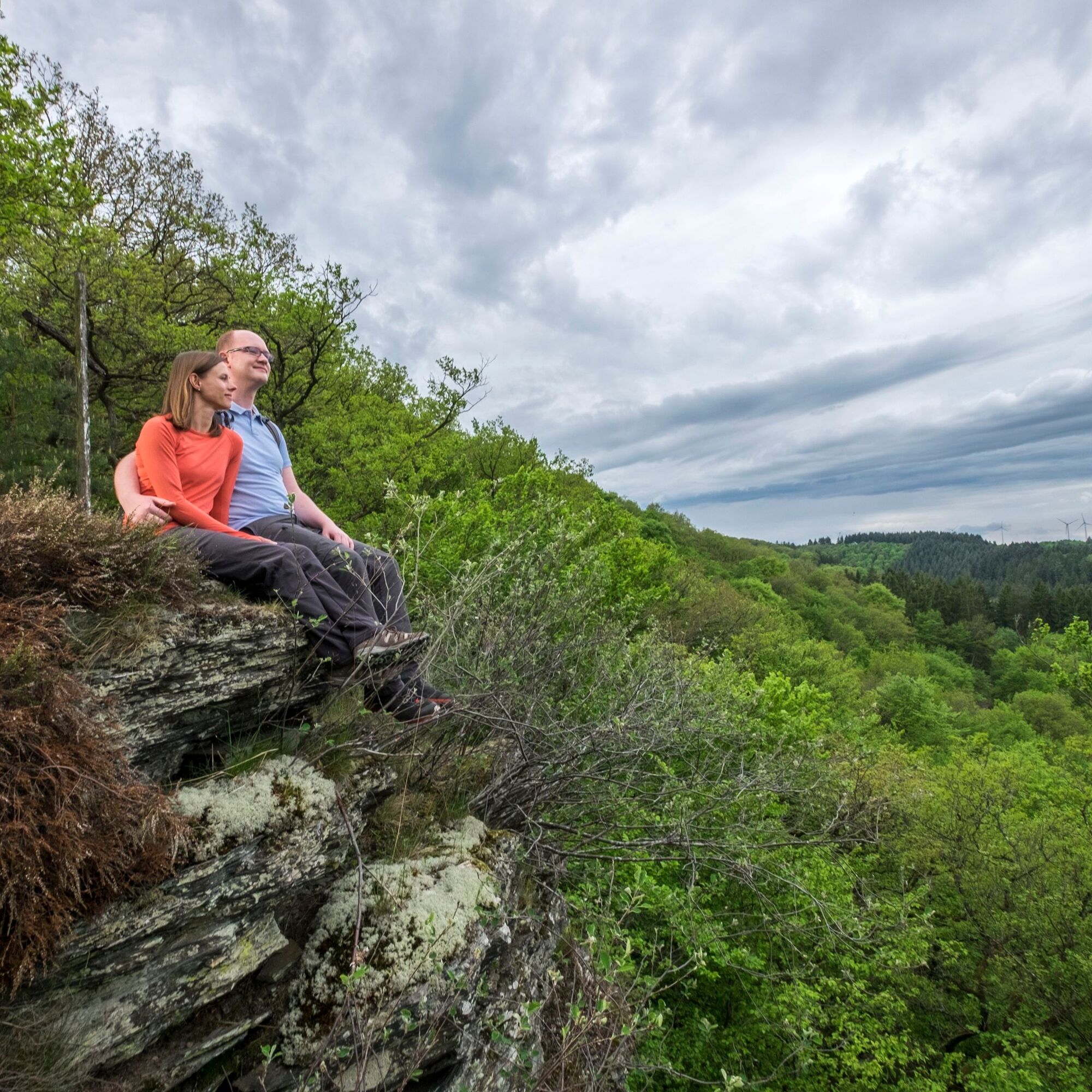
After starting in Reifenthal and the first forest section, it goes through a meadow valley up towards Niedert, past the viewpoint "Fuchsbau." From there, the path continues. The view from the viewpoint "Eifelblick" at the forest edge above Bickenbach seems limitless.
From Bickenbach, the path gently descends along the forest towards the Baybach valley. Shortly before reaching the valley, one still enjoys the view from Ackersberg.
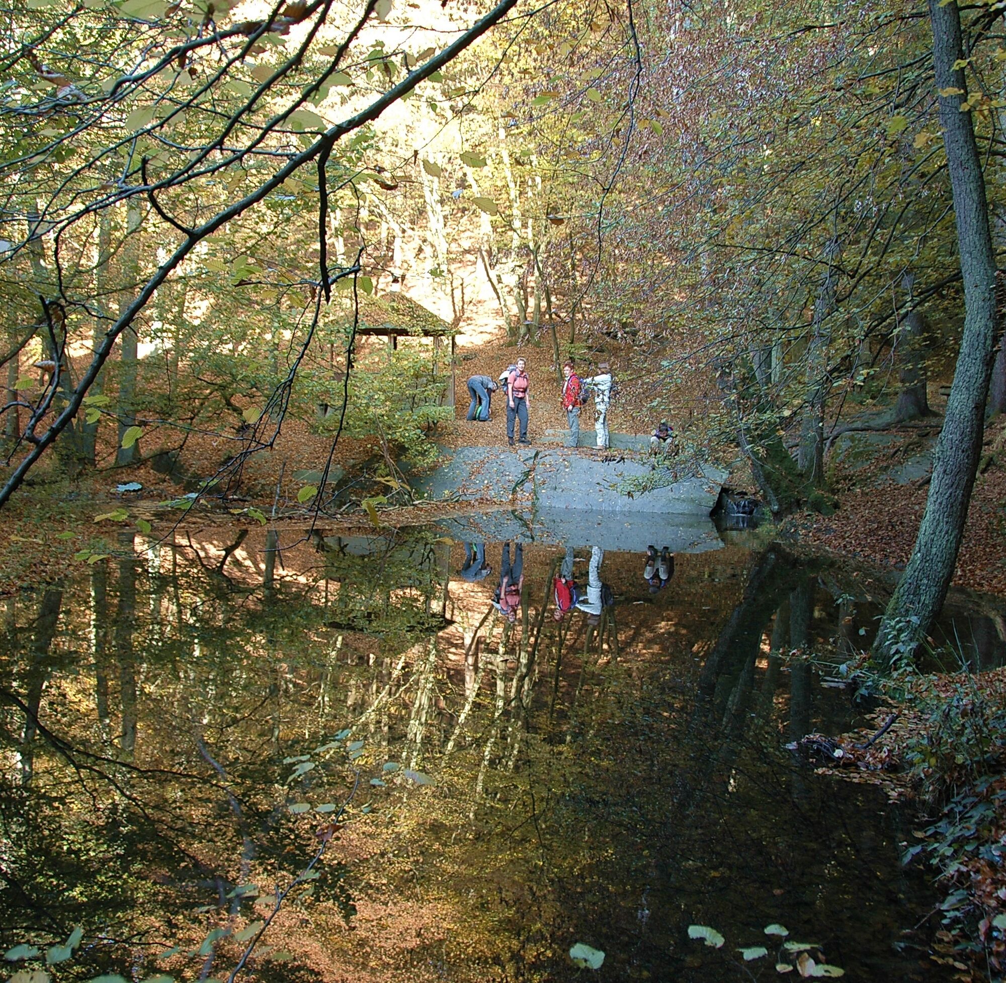
Then it goes upstream past the Sonntags-, Schultheiser-, and Peterchesmühle mills. In the past, the valley had 32 mills from the spring in Hausbay to the mouth in Burgen on the Mosel. The trail passes directly by 7 of these mills.
Where the Eichelsbach flows into the Baybach, there is the rest area "Rutsch." Shortly after, you reach a special attraction: the Striedersmühle, the first brewery in the Rhein-Hunsrück district - open on weekends.
Freshly strengthened, it goes up to Emmelshausen. The next stop is the Heilbrünnchen, one of the oldest folk pilgrimage sites of the front Hunsrück. The patron saint is Saint Wendelin in the chapel near the spring.
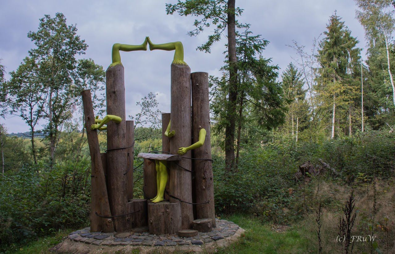
The final stage leads over the extensive Hunsrück landscape on the outskirts of Schwall. The view is also captured by six modern art installations. Objects you do not see on every hiking trail accompany the hiker back to the starting point in Reifenthal.
The path has been certified as a premium trail with 77 experience points by the German Hiking Institute.

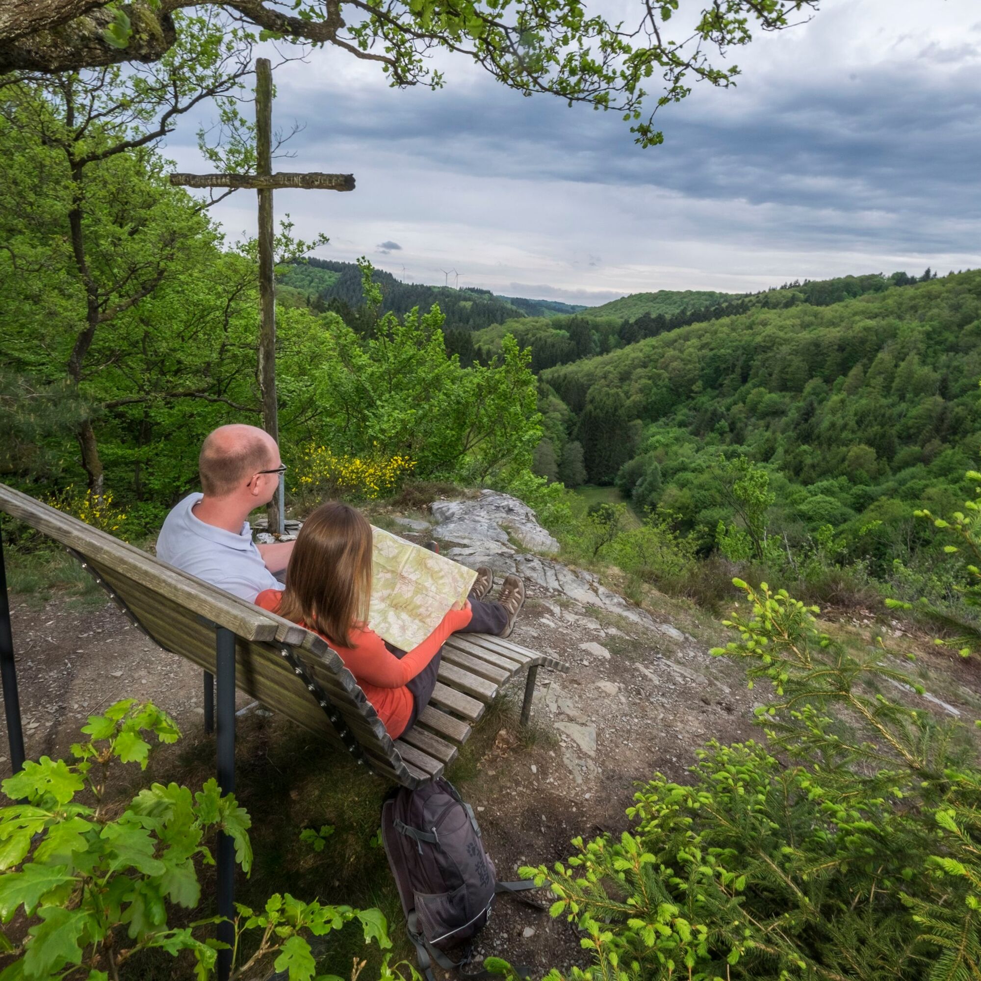
Our hike starts at the Reifenthal hiking car park, which is also very easily accessible via the Koblenz-Simmern bus line. Through a beautiful meadow valley, it goes up to the viewpoints "Fuchsbau" and "Eifelblick". Past Bickenbach with its gastronomy in the middle of the village, it goes downhill, past the forest spirit, until we reach the Ackersberg viewpoint with the distinctive cross. After enjoying the view, it continues to the Baybach, which will be our companion for the next three kilometers. We pass the Sonntags-, Schulheiser-, and Petchesmühle mills before reaching the "Rutsch," a wonderful resting place at the mouth of the Eichelsbach into the Baybach. The next rest does not take long to come, as just around the corner is the first brewery in the Rhein-Hunsrück district, the Striedersmühle. From there, it goes strengthened up the slope. Past Emmelshausen, it continues over the Heilbrünnchen to Schwall. There, the path leads us along various modern artworks back to Reifenthal.
Igen
Sturdy footwear (hiking boots) is strongly recommended.
The dream loops partly have steep, difficult, and slippery sections in rain or winter weather. Therefore, sure-footedness and good physical condition are essential prerequisites for hiking these premium circular trails.
On the B327 (Hunsrückhöhenstraße) to Reifenthal
Information on bus connections from the directions Simmern/Koblenz and arrival with the Hunsrückbahn (from the direction of Boppard) can be found here
Hiking car park at B327/ K102 near Reifenthal
T2
Tourist Information in the center at the park, Rhein-Mosel-Str. 45, 56281 Emmelshausen
Tel. 06747 - 93220, www.hunsrueck-mittelrhein.de
Hunsrück Touristik GmbH, building 663, 55483 Hahn Airport
Tel. 06543 - 507700, www.hunsruecktouristik.de
A stop at the Striedersmühle is worthwhile. Since 2025, it has been the first brewery in the Rhein-Hunsrück district.
Opening hours: www.biermanufaktur-striedersmuehle.de
Népszerű túrák a környéken
-
4,2
Mosel - Burg Eltz - Mosel
közepesKirándulás 12,8 km -
4,8
Langhalsweg Osterspai
közepesKirándulás 7,50 km -
4,7
Murscher Eselsche Dream Loop
közepesKirándulás 10,7 km -
Lingerhahn - Hängeseilbrücke Geierlay
közepesBiciklizés 28,1 km -
5,0
Traumschleife Erbachklamm
közepesKirándulás 9,55 km -
4,6
Traumschleife Ehrbachklamm
nehézKirándulás 11,0 km -
5,0
Traumschleife Mittelrhein
nehézKirándulás 14,7 km -
4,8
Dommershausen - Steffenshof - Schmausemühle - Beltheim
nehézKirándulás 10,4 km -
5,0
Traumschleifchen Baybachquellen
könnyűKirándulás 6,22 km -
5,0
Mittelrheinsteig Boppard #LL2ROM V09
nehézKirándulás 5,01 km

Túrázás & nyomkövetés


Ne maradjon le az ajánlatokról és az inspirációról a következő nyaralásához!
Az Ön e-mail címe hozzá lett adva a levelezőlistához.