


Großarltal: Family trekking Alpenfloh maxi


Fotók felhasználóinkról
-
 © Andrea MahringerLétrehozta a 29.10.2025
 -
 © Andrea MahringerLétrehozta a 29.10.2025
 -
 © Andrea MahringerLétrehozta a 29.10.2025
 -

 © Peter De Smedt2Létrehozta a 08.10.2025
 -
 © Clemens NoskaLétrehozta a 21.09.2025
 -
 © Clemens NoskaLétrehozta a 21.09.2025
 -
 © Clemens NoskaLétrehozta a 21.09.2025
 -
 © Clemens NoskaLétrehozta a 21.09.2025
 -
 © Clemens NoskaLétrehozta a 21.09.2025
 -
 © Clemens NoskaLétrehozta a 21.09.2025
 -
 © Clemens NoskaLétrehozta a 20.09.2025
 -
 © Noah RoeLétrehozta a 07.09.2025
 -
 © Noah RoeLétrehozta a 07.09.2025
 -
 © Noah RoeLétrehozta a 07.09.2025
 -
 © Helmut Wagner 2Létrehozta a 19.08.2025
 -
 © Helmut Wagner 2Létrehozta a 19.08.2025
 -
 © Ernst KreppenhoferLétrehozta a 21.06.2025
 -

 © Stefan RuhringerLétrehozta a 08.08.2023
 -
 © Stefan RuhringerLétrehozta a 28.10.2022
 -
 © Ilka LöserLétrehozta a 04.08.2025
 -
 © Ernst KreppenhoferLétrehozta a 21.06.2025
 -
 © Thomas MüllerLétrehozta a 25.10.2022
 -
 © Thomas MüllerLétrehozta a 25.10.2022
 -
 © Thomas MüllerLétrehozta a 25.10.2022
 -
 © Thomas MüllerLétrehozta a 25.10.2022
 -
 © Thomas MüllerLétrehozta a 25.10.2022
 -
 © Thomas MüllerLétrehozta a 25.10.2022
 -
 © Thomas MüllerLétrehozta a 25.10.2022
 -

 © Heinz SperlLétrehozta a 11.03.2025
 -
 © Max Riedl 1Létrehozta a 23.02.2025
 -
 © Andreas PfohlLétrehozta a 22.02.2025
 -
 © Andreas PfohlLétrehozta a 22.02.2025
 -
 © Andreas PfohlLétrehozta a 22.02.2025
 -
 © Andreas PfohlLétrehozta a 22.02.2025
 -
 © Helen LöfflerLétrehozta a 09.02.2025
 -
 © Helen LöfflerLétrehozta a 09.02.2025
 -
 © Isabella Schwaiger-MoserLétrehozta a 18.01.2025


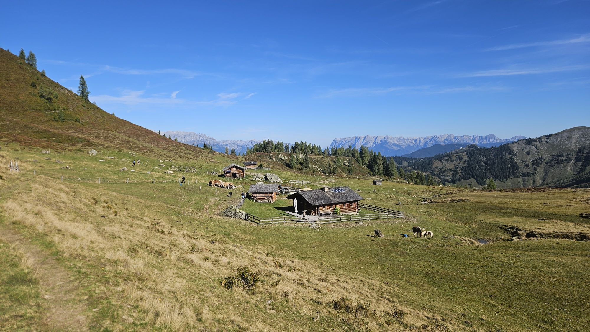


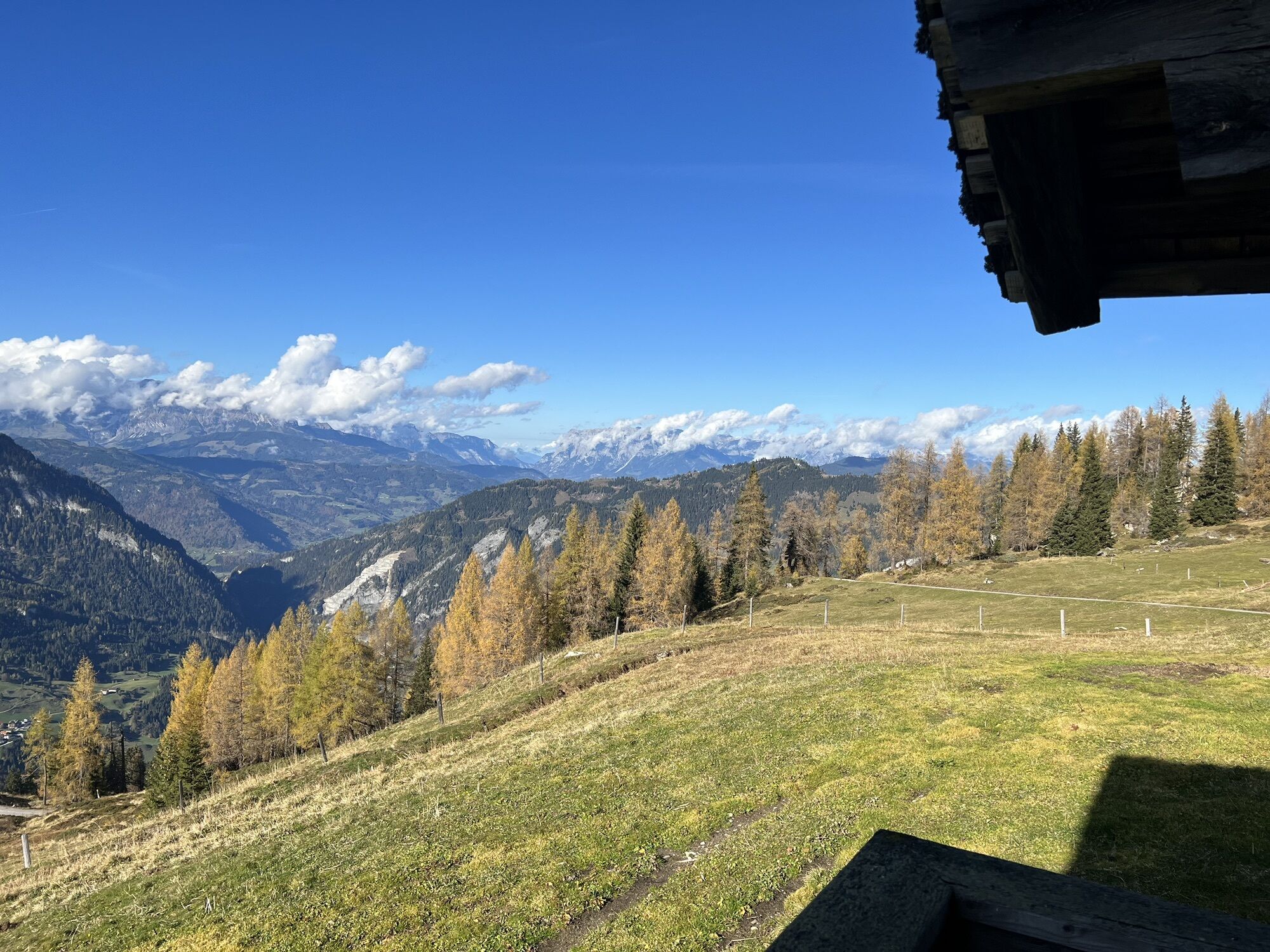


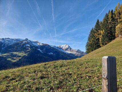
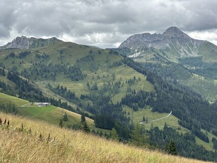
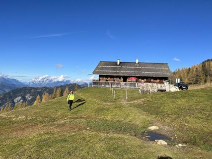
The hike starts at the end of the valley of the largest side valley of Großarltal – in Ellmautal at the Grundlehen parking lot. On a rustic alpine trail you reach the Filzmoosalm. This hut lies in a pristine...
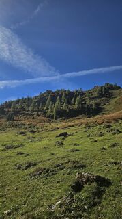
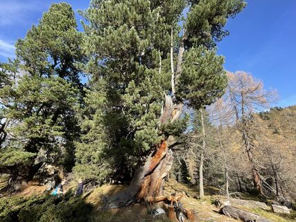
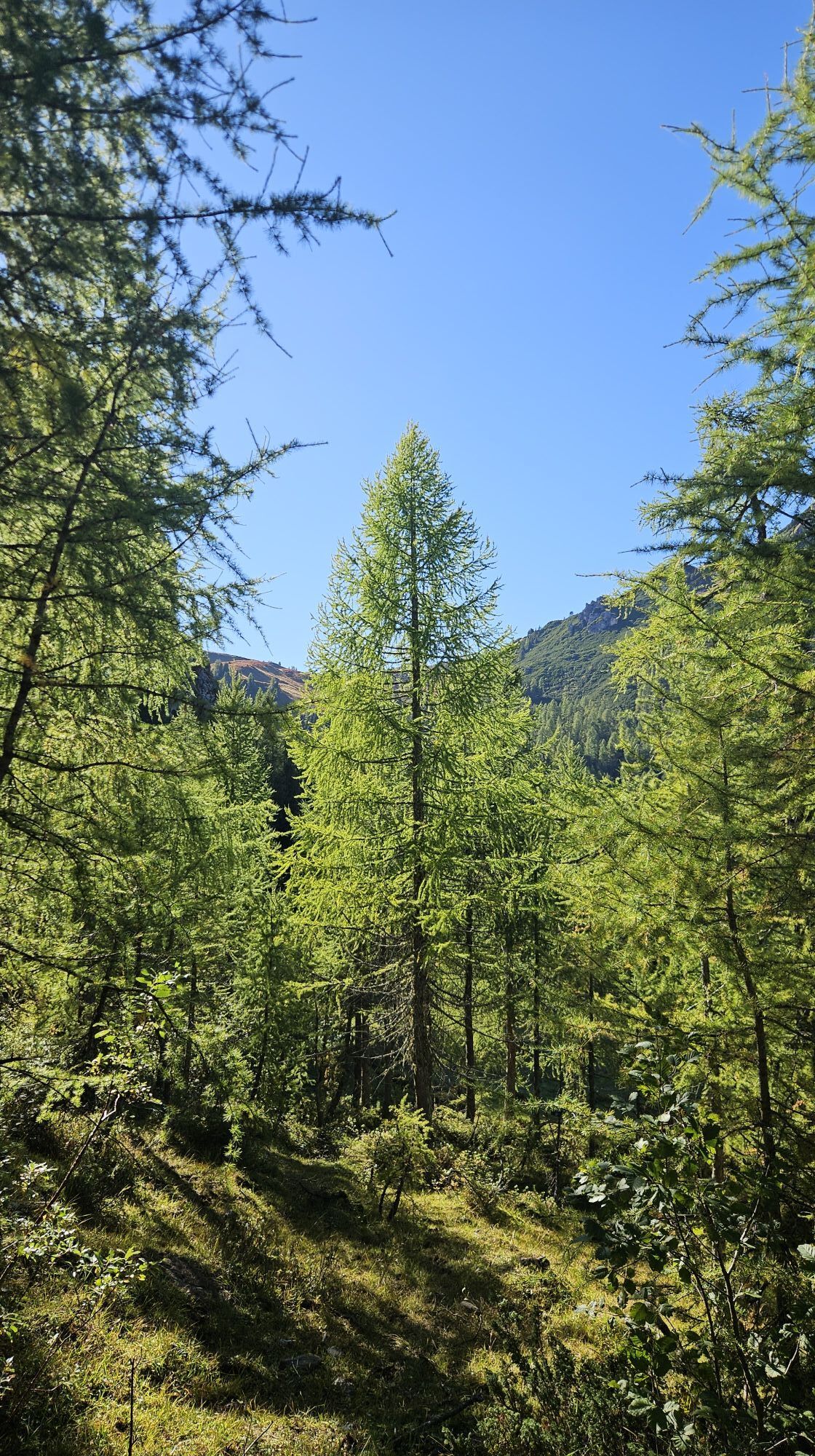
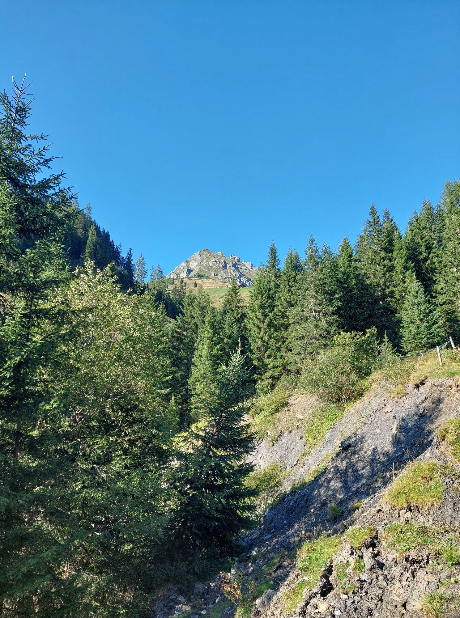
The hike starts at the end of the valley of the largest side valley of Großarltal – in Ellmautal at the Grundlehen parking lot. On a rustic alpine trail you reach the Filzmoosalm. This hut lies in a pristine natural landscape. After a small refreshment with homemade delicacies like bread, butter, cheese, sausage or bacon, the path leads uphill past many stone pines typical for the rear Ellmautal.
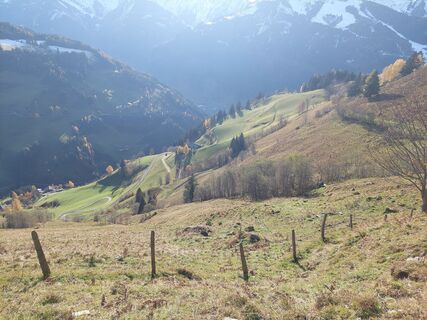
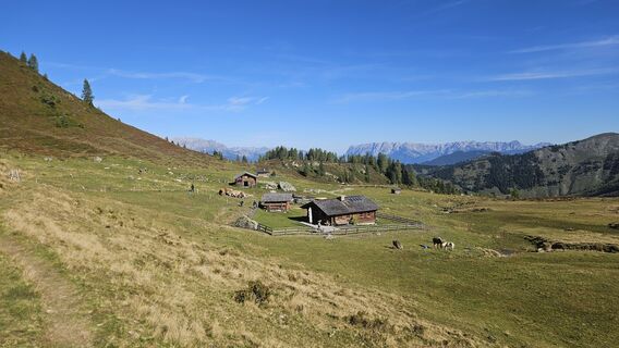
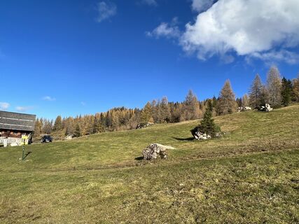
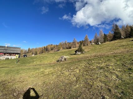
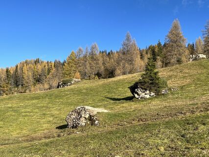
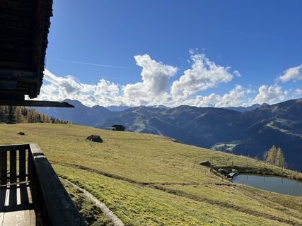
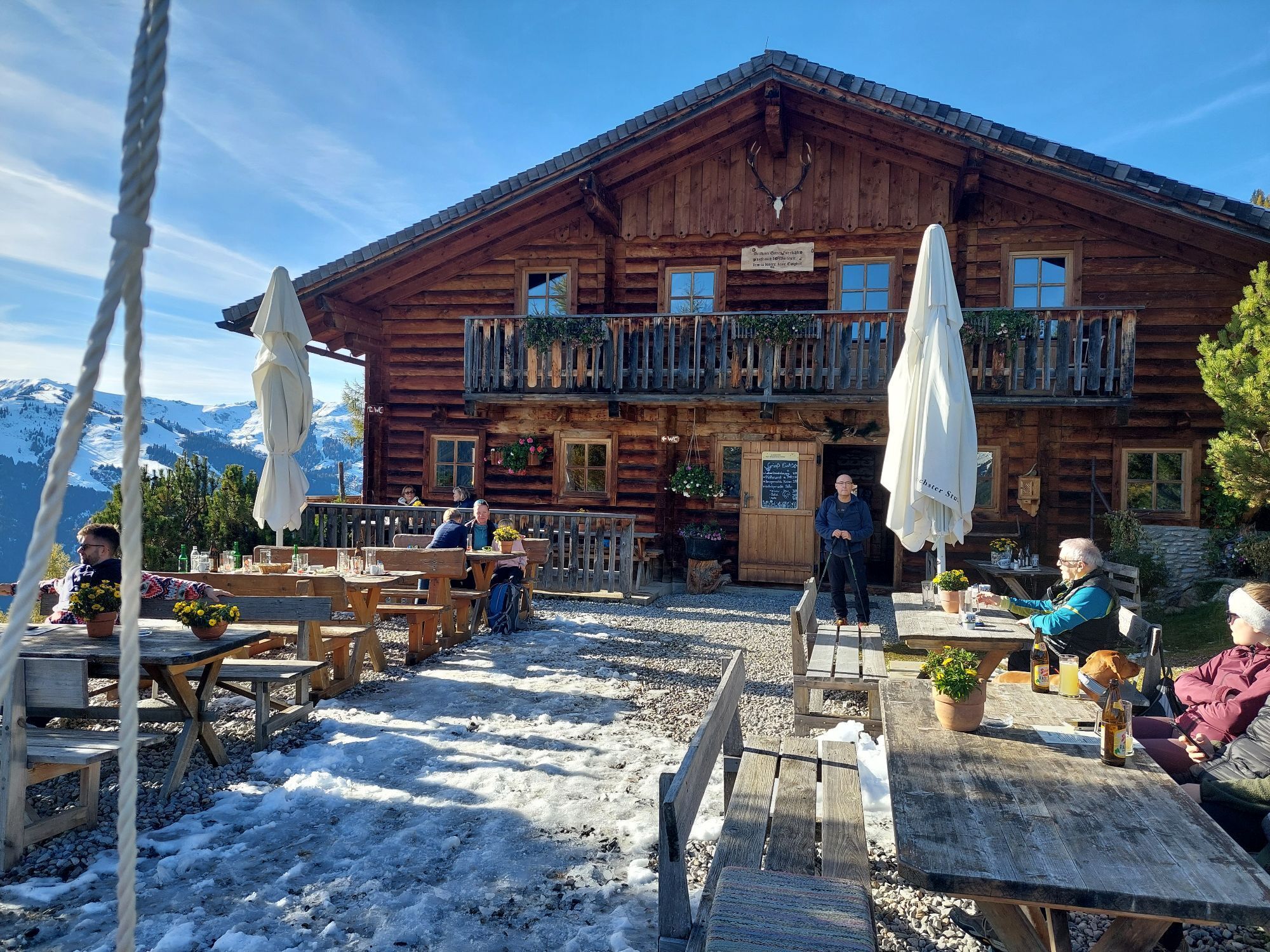
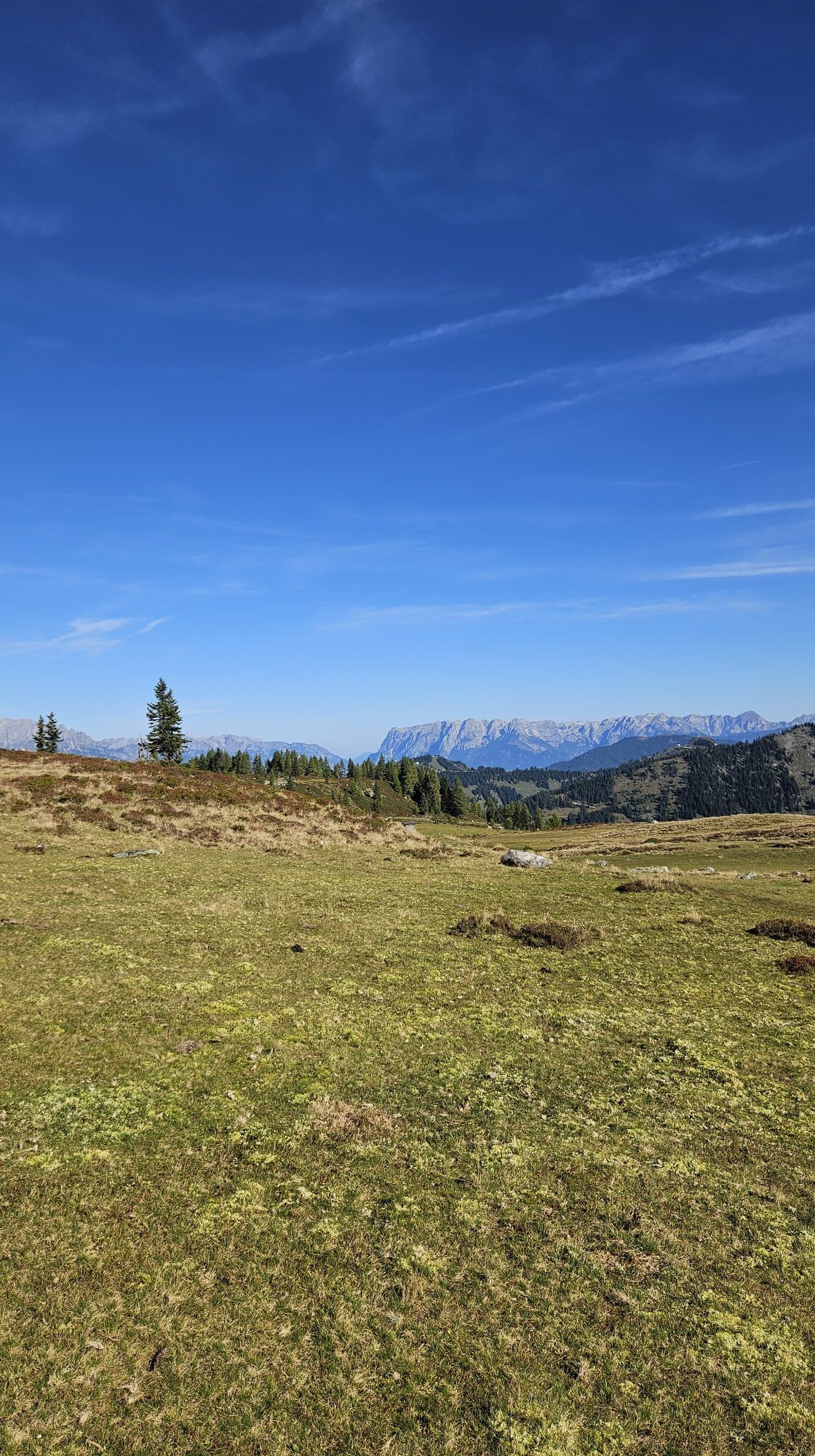
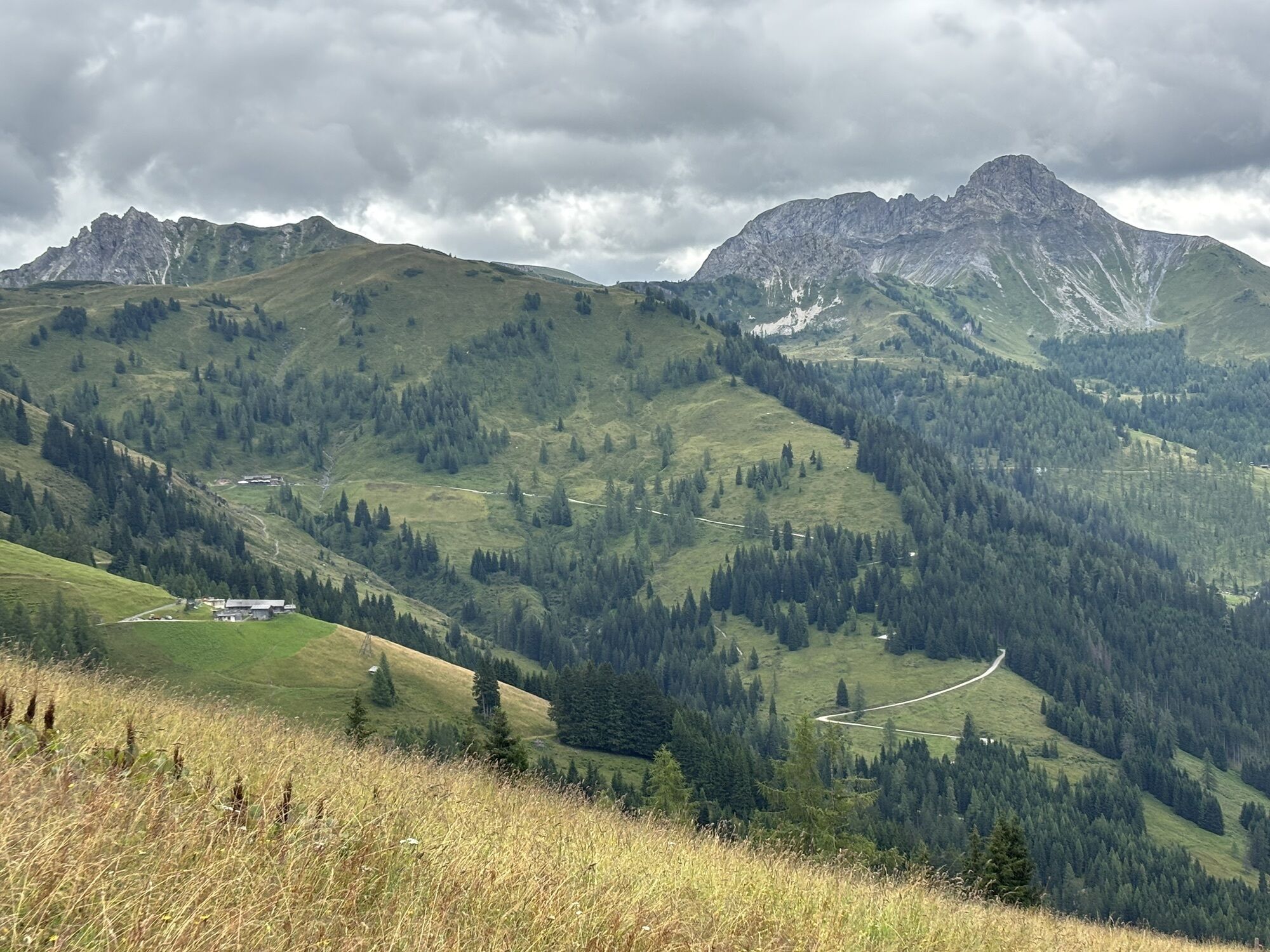
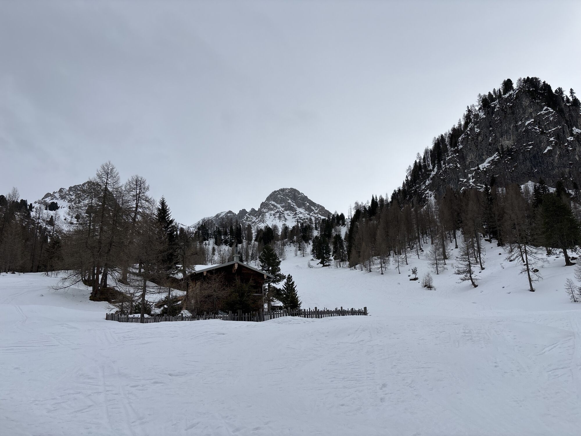
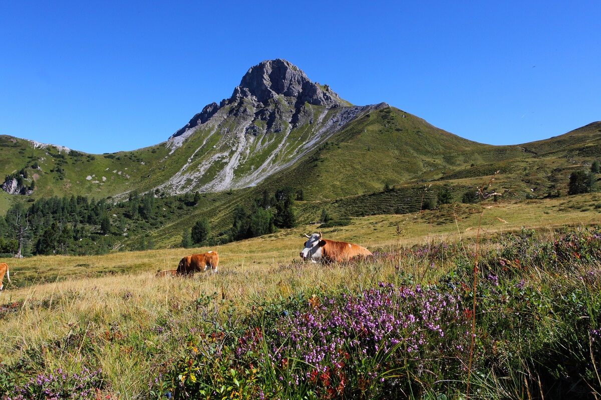
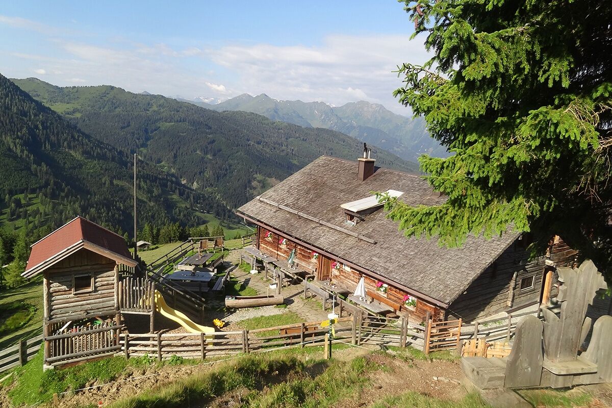
Eventually, you reach the Filzmoossattel. Directly at the saddle is a beautifully designed gentian, the symbol of the Salzburg Alpine Trail, which also includes the section from Filzmoossattel to Filzmoosalm. A short detour to the Filzmooshöhe is definitely worthwhile here. If you turn around now, you can see the majestically overlooking Draugstein above the Ellmautal. This mountain is one of three limestone mountains in our valley, and the clay at Draugstein is said to have healing properties. The descent follows gently to the Draugsteinalmen. There are two huts here where you are spoiled with regional delicacies and where you can spend the night. The left hut is the Schrambachhütte, the right one the Steinmannhütte.
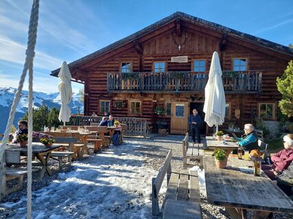
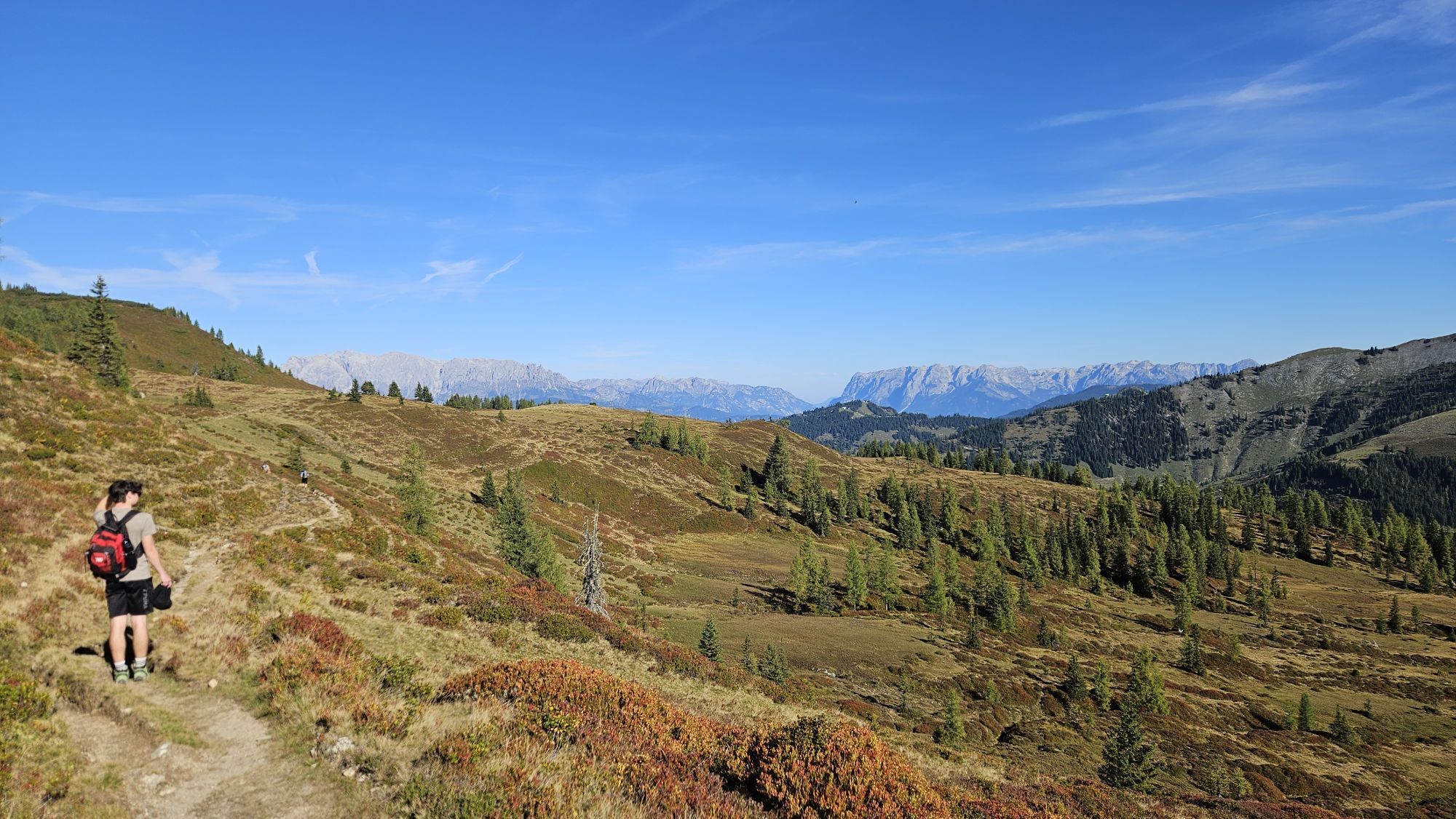
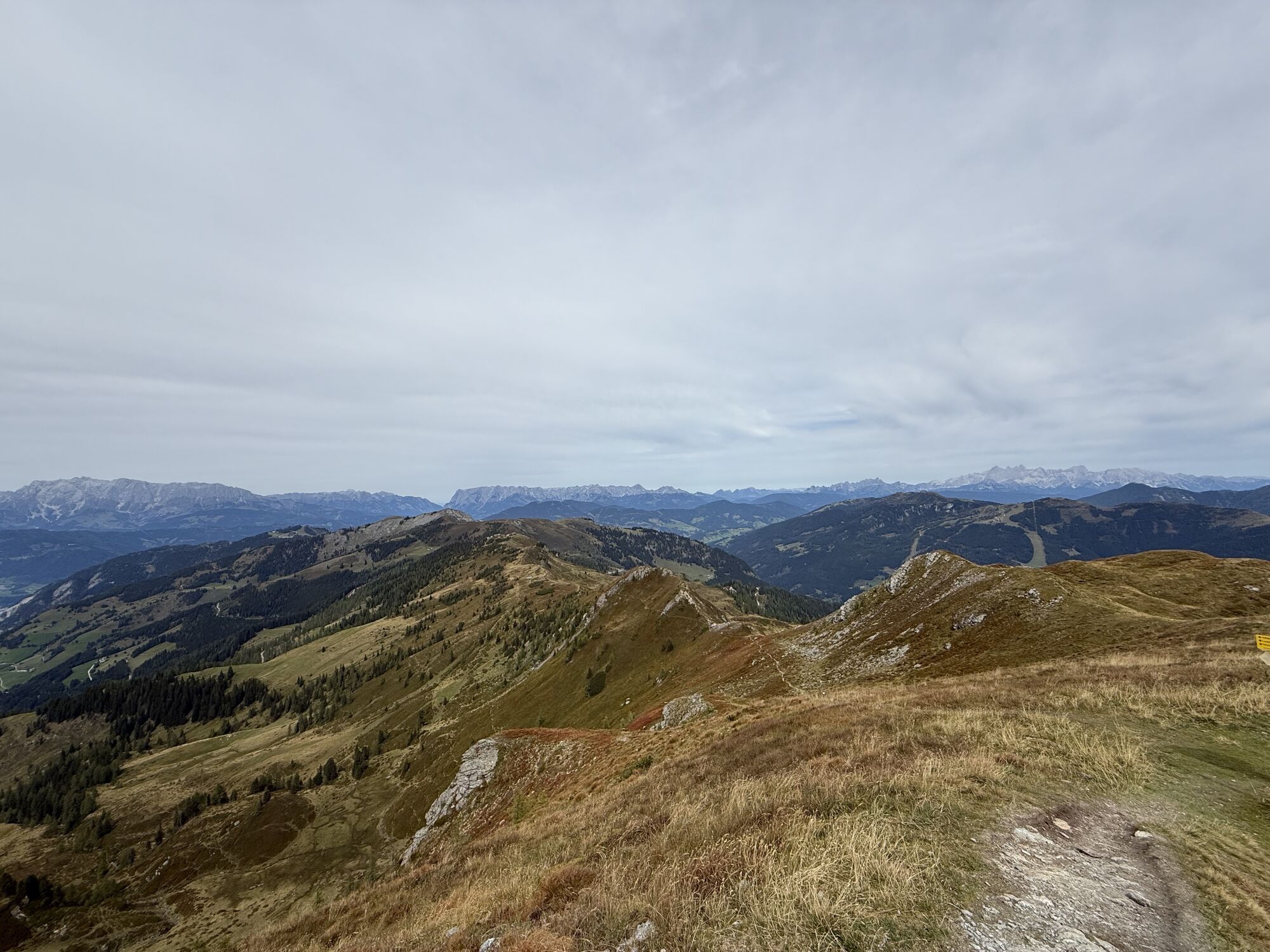
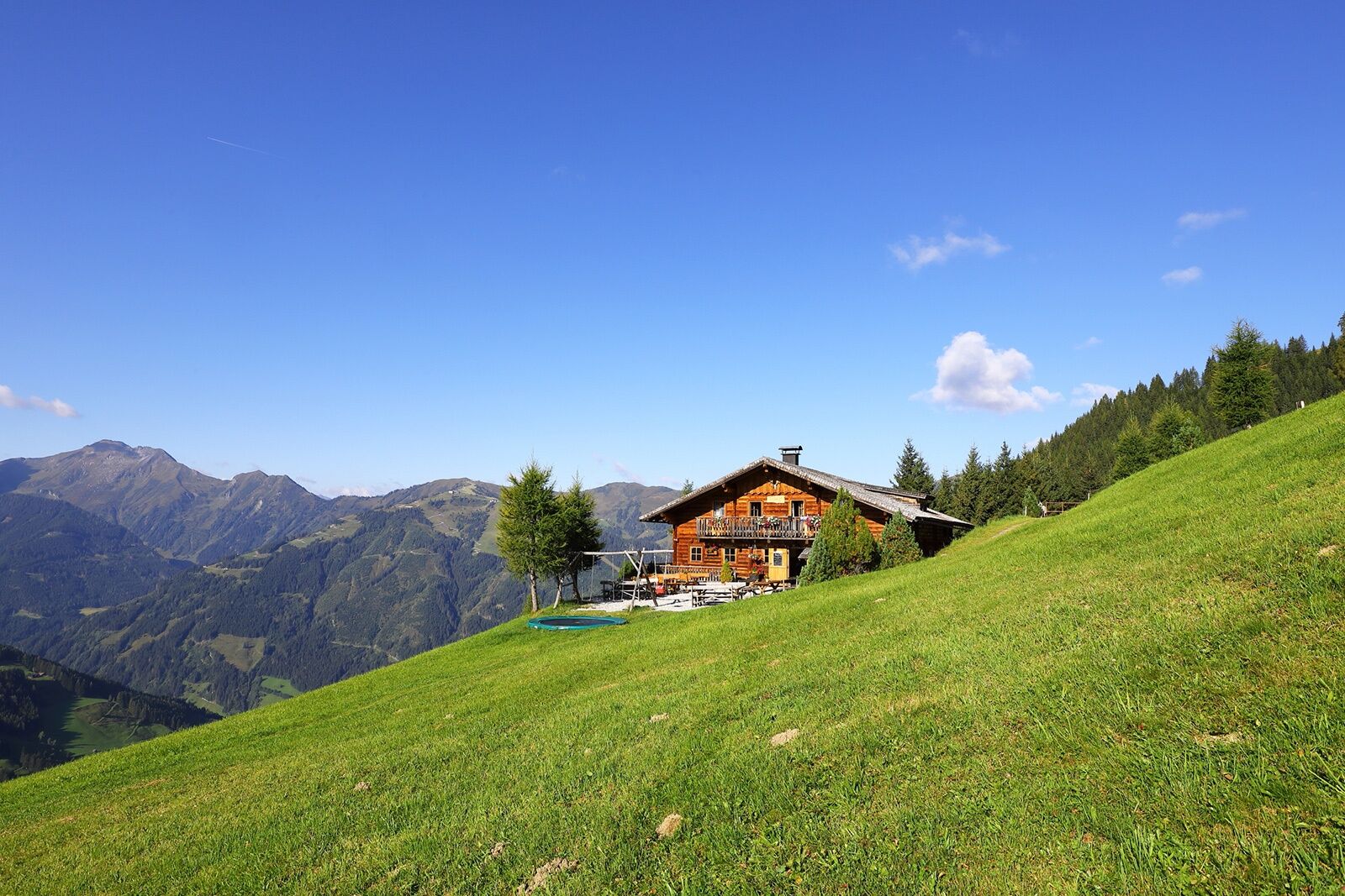
You will be woken on the alm by cowbells and then enjoy a wonderful alpine breakfast. After a fresh start, the route continues again to the Filzmoossattel. From here you follow the "Ellmautal high trail" to Gründegg. The view is especially beautiful here: from the High Tauern, the Hochkönig massif, the Tennen and Hagen mountains to the Dachstein. The descent leads to the Ellmaualm, where tired hikers are already awaited with a snack of homemade delicacies such as bread, butter, bacon, cheese, and sausage. Here you spend the night.
There is also the option to stay overnight at the Loosbühel or Weißalm.
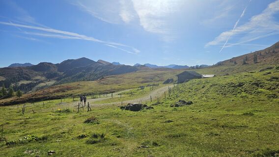
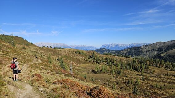
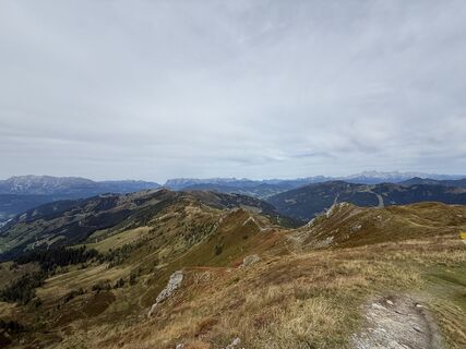
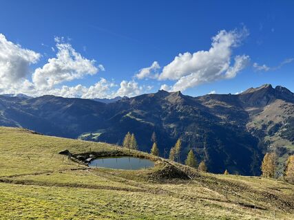
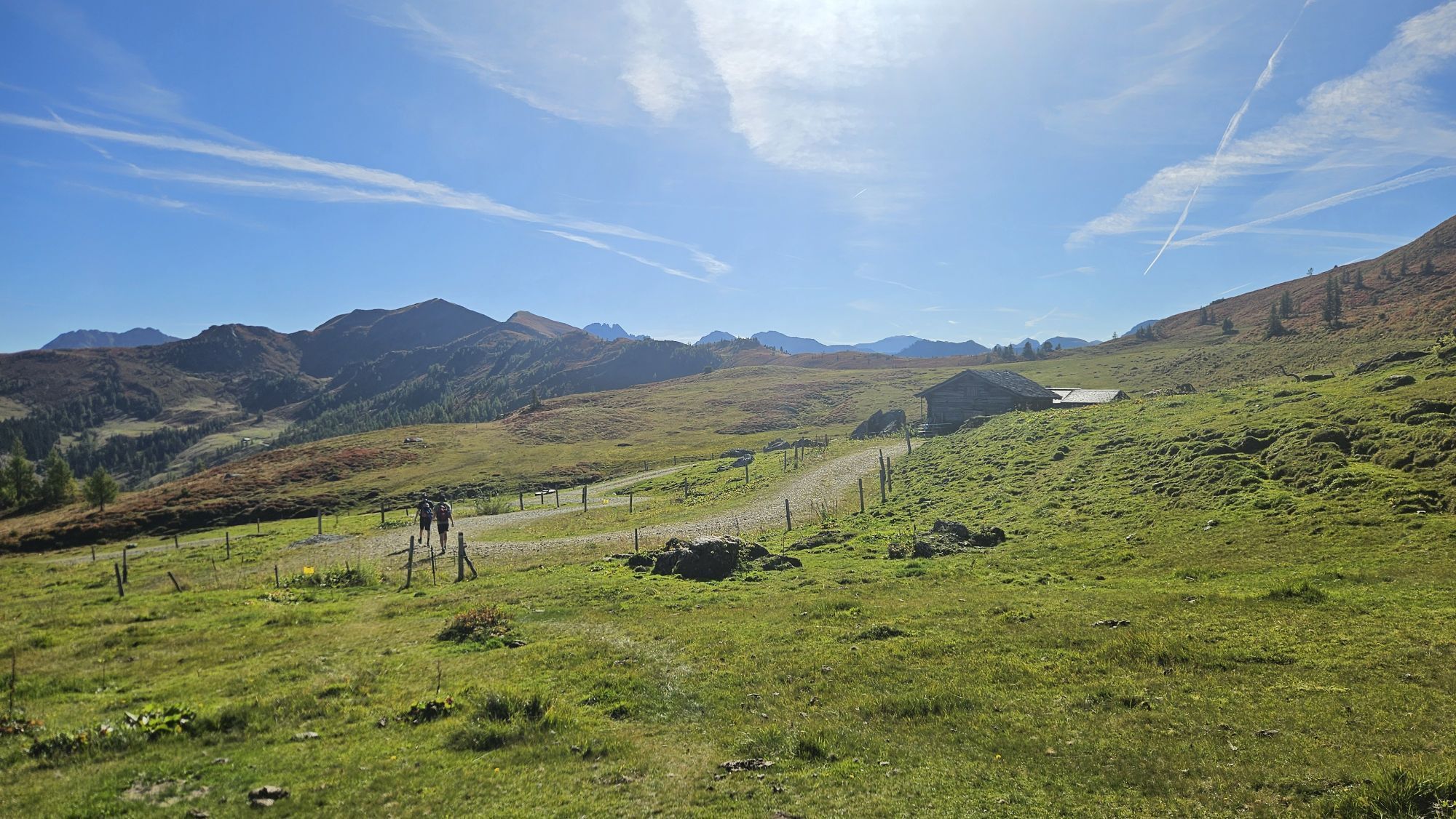
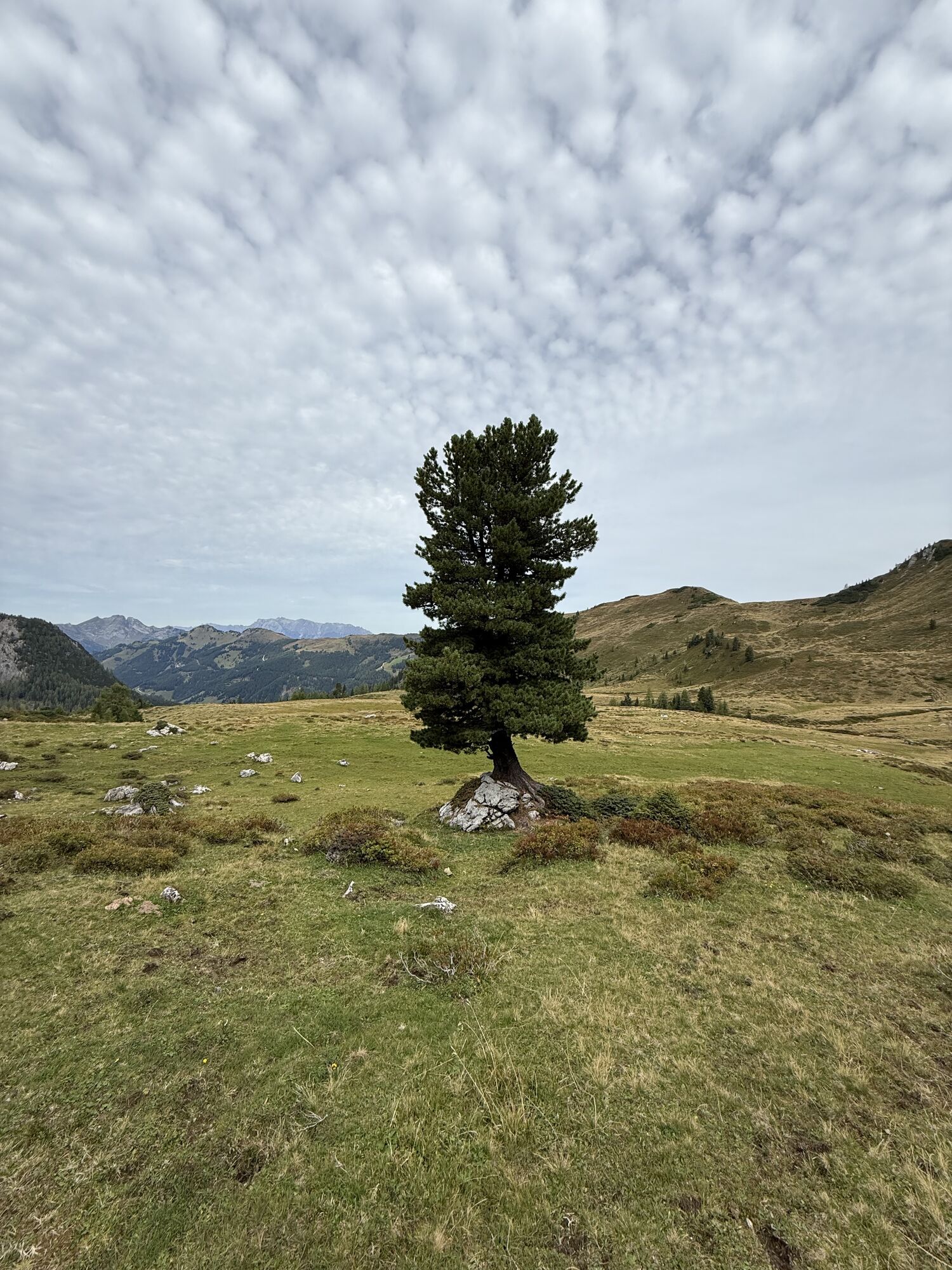
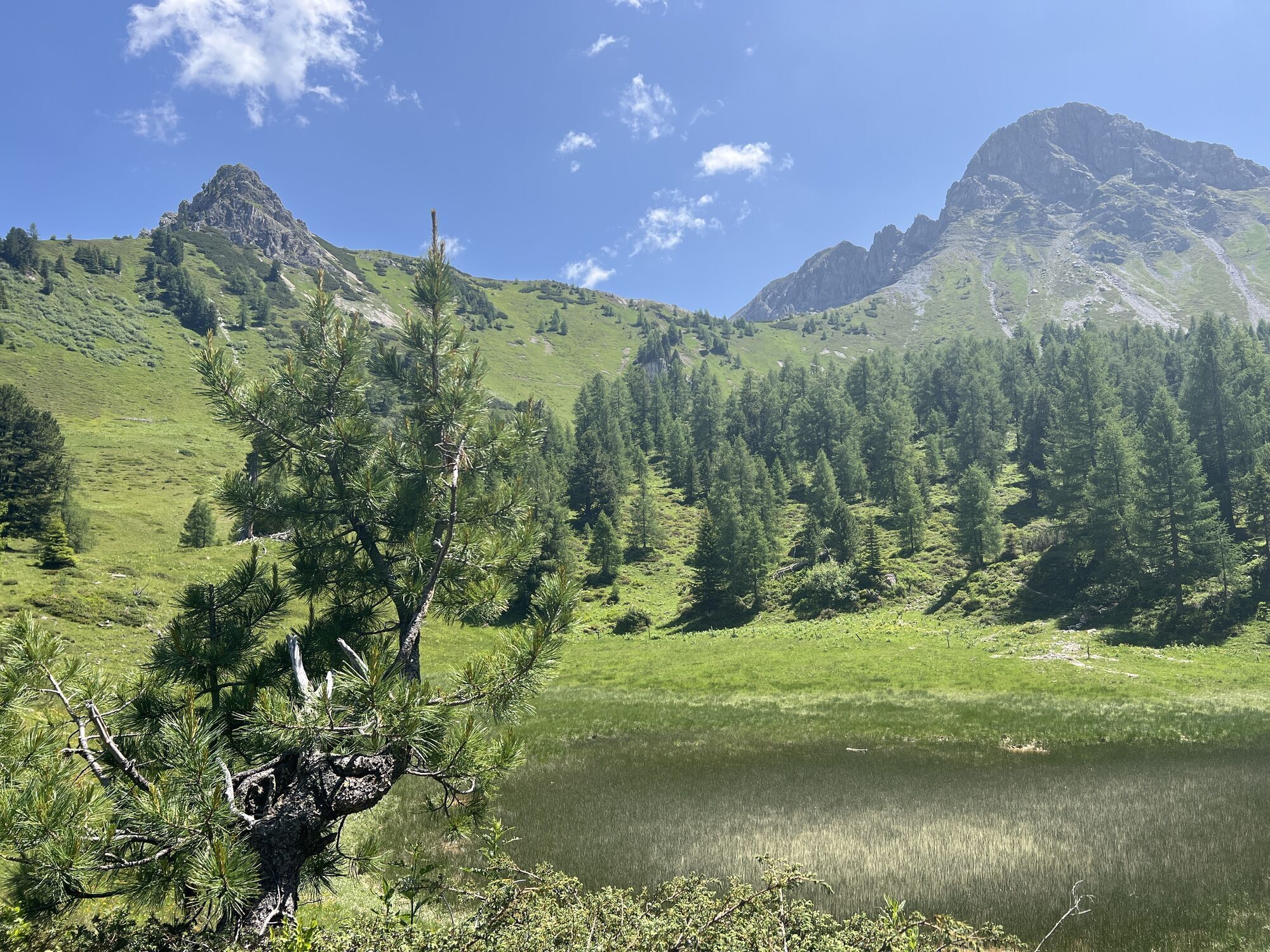
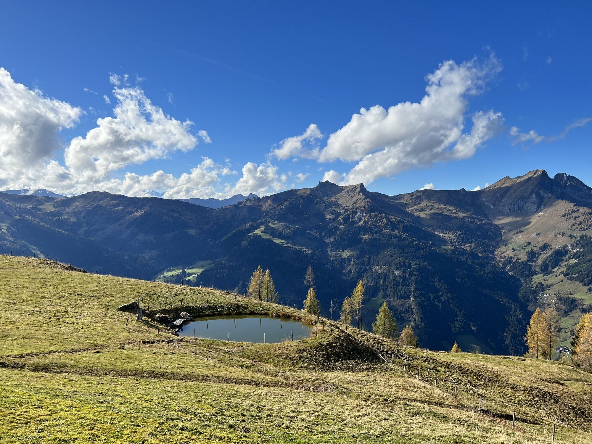
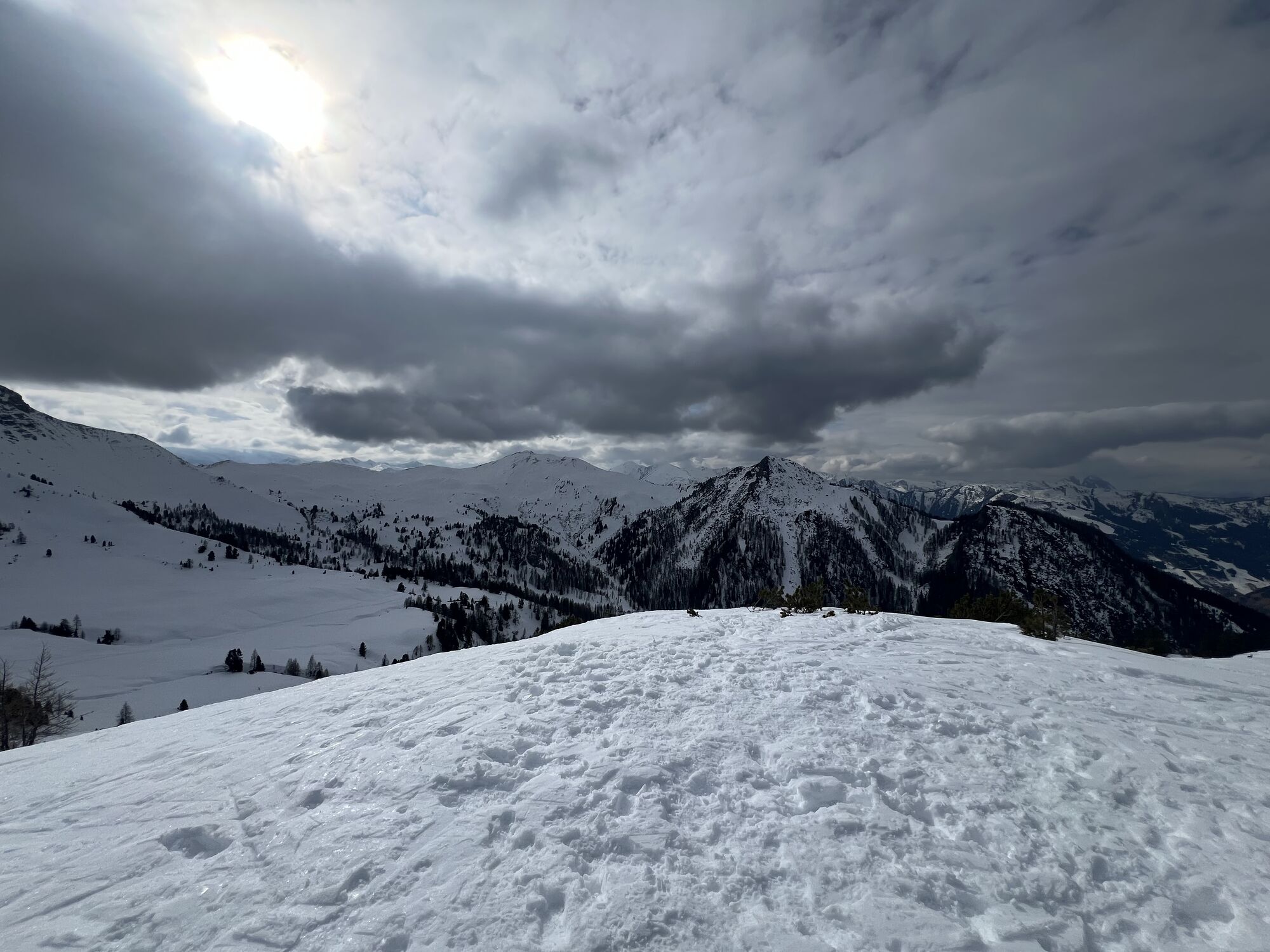
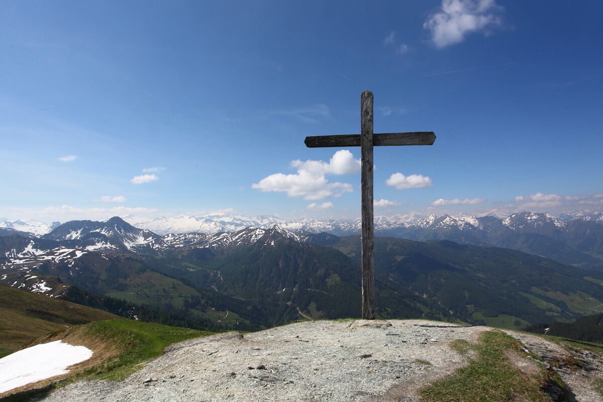
After a good sleep, you continue the next morning. For those who do not want to hike far anymore, the descent from the respective alpine pasture to the parking lot at Grundlehen and the return ride by hiking bus to Großarl is recommended. Otherwise, the route goes either past the Henerbichlalm (not serviced) or the Trög lakes, which are small pools especially nice for cooling off in summer, over the Spatkar and past the Karalmen (not serviced) to the Saukaralm. This alm is the highest located in Großarltal. The view from here is simply unique. The High Tauern, the Hochkönig as well as the Tennen and Hagen mountains make this alpine pasture one of the most beautiful viewpoints in Großarltal. If you are a bit later on the path, you should definitely watch the sunset on the Saukaralm. Because of the free view towards south, west, and north, sunsets here are particularly impressive.
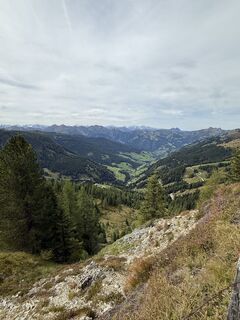
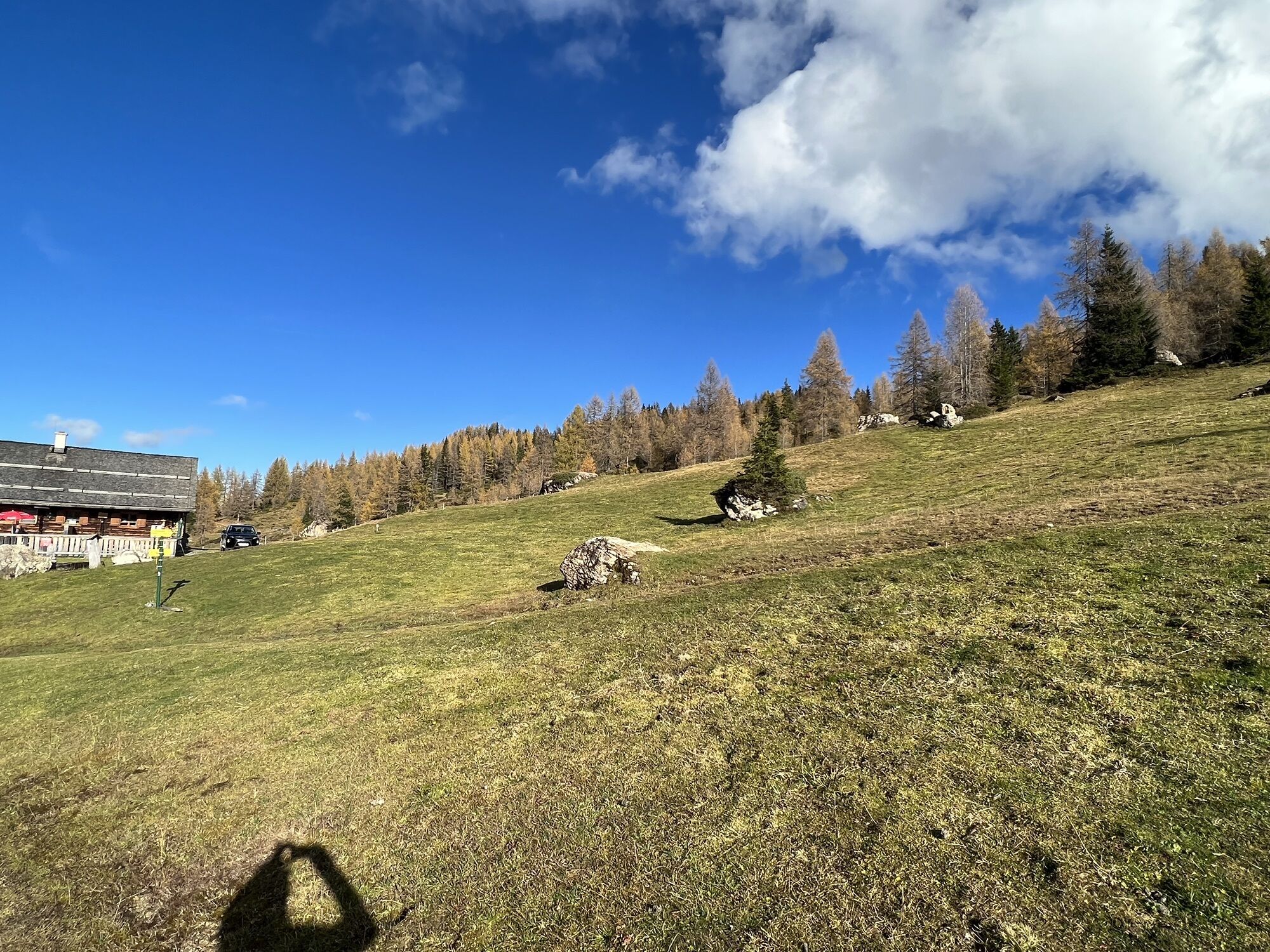
The descent goes via the Röschenbergalm (not serviced) to the Gerstreitalm. Children especially will enjoy the large playground here. You can also treat yourself again with delicacies from the farm’s own production. After resting, you finally proceed via Hertas Rast to the town center of Großarl.

Day 1:
Drive by car or hiking taxi to Ellmautal to "Grundlehen" – parking available. At the end of the road, a beautiful trail (path no. 57, 720) leads gently uphill from the parking lot to the Filzmoosalm, 1,710 m (approx. 1 1/4 h) – from Filzmoosalm follow the marked trail (path no. 57, 720) to the Filzmoossattel, 2,062 m (approx. 1 h). Descent on path no. 54A, then 54 to the Draugsteinalmen, 1,778 m (approx. 1 h - Steinmannhütte and Schrammbachhütte) – overnight stay at Draugsteinalmen. Total walking time: approx. 3 1/4 hours
Day 2:
Ascent on path no. 54, then 54A to the Filzmoossattel, 2,062 m (approx. 1 h). Hike along path no. 64 to the Gründegg, 2,168 m (approx. 3 h). Descent on path no. 64, then 62 to the Ellmaualm, 1,794 m (approx. 1 h) – overnight stay at Ellmaualm. Alternatively, you can also stay overnight at Loosbühel or Weißalm and skip Gründegg. Total walking time: approx. 5 hours
Day 3:
Hike along path no. 64 to the Saukaralm, 1,820 m (approx. 2 h). Descent on path no. 65, then 65A to the Gerstreitalm, 1,575 m (approx. 1 h). Descent on path no. 65A, then 65 to the Vorderstadluck farm (from here there is an option to take the hiking taxi to the valley) and via "Hertas Rast" no. 17 to the town center of Großarl (approx. 1 h). Total walking time: approx. 4 hours
The stated walking times are for the average hiker. There is plenty to discover along the way for children, so please add some extra time here.
Igen
Igen
Hiking boots with profiled sole, some fruit, drinks (refillable bottles), wind and rain protection, toiletries, warm clothes and clothes for changing, flashlight, mini first aid kit, hiking map, sunscreen, chocolate or muesli bars, …
Drive by car or take the Postbus (no. 540) to the town center of Großarl – parking available at the Viehhauser gas station. Then continue with the hiking bus (no. 541) to Ellmautal to Grundlehen.
Viehhauser gas station in Großarl
1. The Trög lakes offer a small cooling opportunity for the feet.
2. Sunsets are very beautiful on the alpine pastures – however, you have an even better view from Gründegg.
A túra webkamerái
-
Kreuzkogel
-
Fulseck
-
Hotel Lammwirt im Großarltal/Ellmautal
-
Dorfgastein - Spiegelsee
-
Talschluss des Grossarltals - Steinmannbauer
-
Bergstation 6er Sesselbahn Harbach
-
Ellmautal - Palfenhof
-
Kühhagerbahn Bergstation
-
Großarl - Vitalhotel Tauernhof
-
Dorfgastein - Spiegelsee
-
Dorfgastein - Spiegelsee
-
Dorfgastein - Spiegelsee
-
Dorfgastein - Spiegelsee
-
Mooslehen Berg
-
Großarl - Loosbühelalm
-
Großarl - Kieserlbahn
-
Grossarl - Hotel Gasthof Schützenhof
-
Großarl - Hotel Kristall Übungslift
-
Bergstation Kieserl
-
Fulseck
-
Fulseck
-
Fulseck
-
Fulseck
-
Fulseck
-
Fulseck
-
Fulseck
-
Hüttschlag - Almrösl
-
Hüttschlag - Grossarltal
-
Großarl
Népszerű túrák a környéken
-
4,7
Bahnhof Bad Hofgastein nach Bahnhof Bad Gastein
közepesKirándulás 13,0 km -
4,5
Mosermandl Windischscharte, Salzburger Land/Österreich
nehézKirándulás 14,6 km -
4,2
Ennskraxn (2410m)
nehézKirándulás 14,7 km -
4,6
Gasteiner Höhenweg von Bad Gastein nach Bad Hofgastein
könnyűKirándulás 8,58 km -
4,7
Gasteiner Höhenweg (Schlechtwettervariante)
könnyűKirándulás 9,50 km -
4,2
Großarl: Unterwandalm - Karseggalm - Breitenebenalm
közepesKirándulás 5,93 km -
4,6
Mountain route from the Kötschachtal to the natural jewel Reedsee
közepesKirándulás 12,5 km -
4,4
Wasserfall Bad Hofgastein
könnyűKirándulás 3,89 km -
4,4
Ski tour Liebeseck
nehézSítúra 14,1 km -
4,8
Großarl: Mooslehenalm – Niggeltalalm – Viehhausalm
közepesKirándulás 5,44 km

Túrázás & nyomkövetés


Ne maradjon le az ajánlatokról és az inspirációról a következő nyaralásához!
Az Ön e-mail címe hozzá lett adva a levelezőlistához.