


Over the Unkenberger Mähder into the Almenwelt Lofer


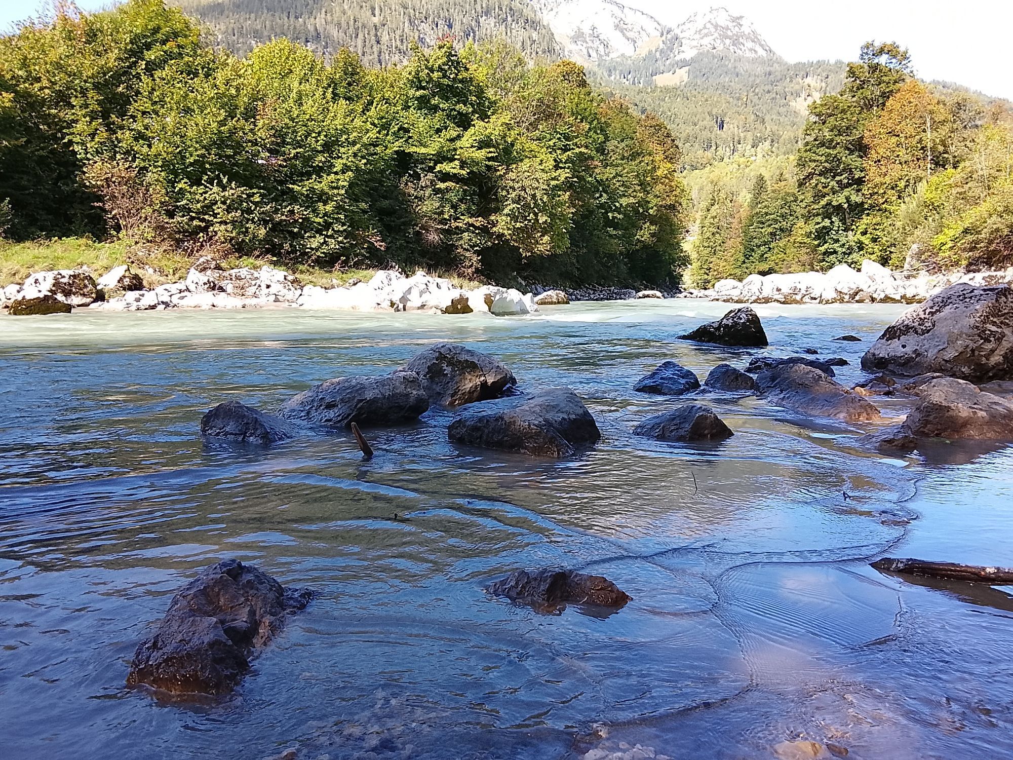
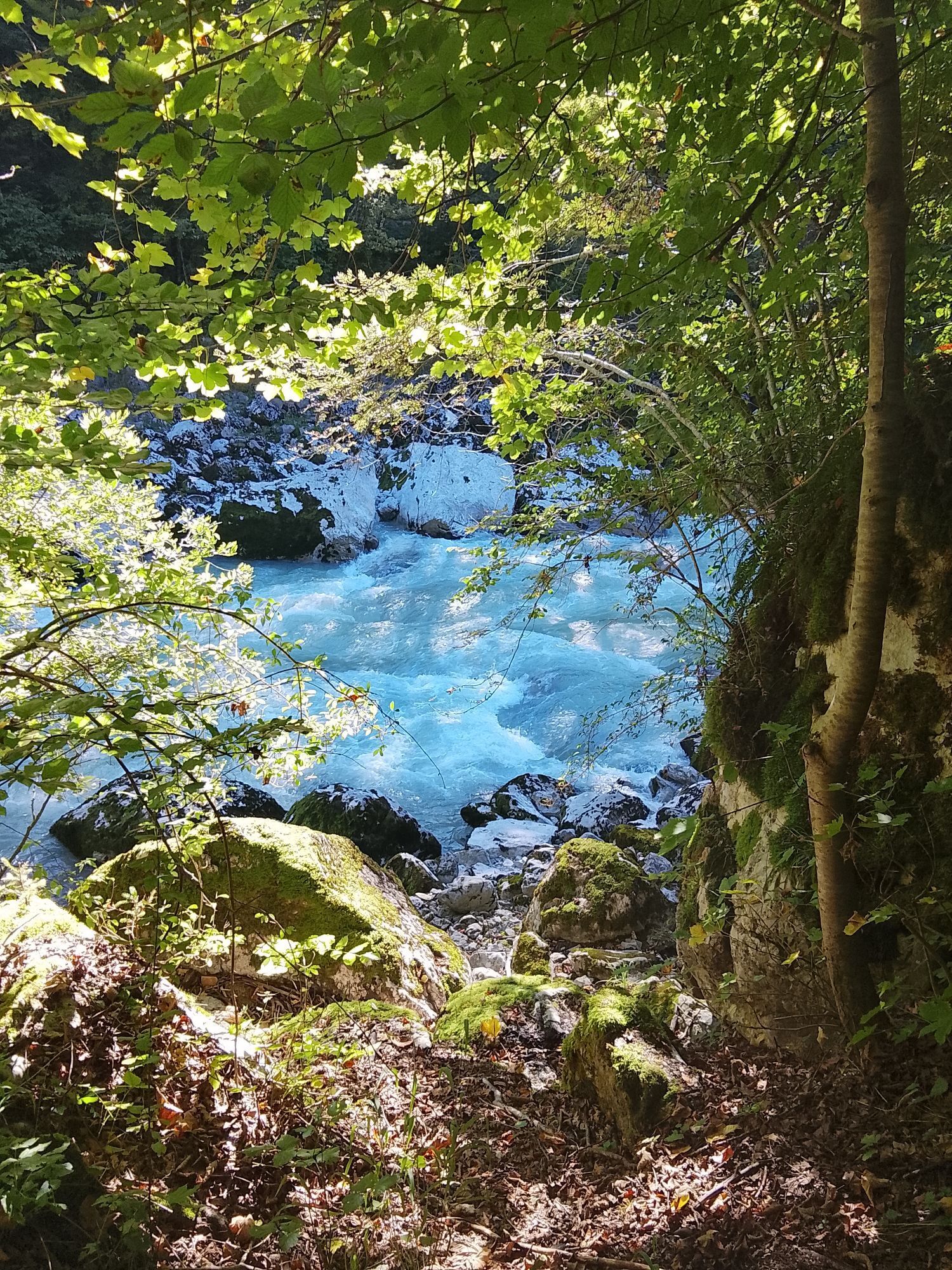
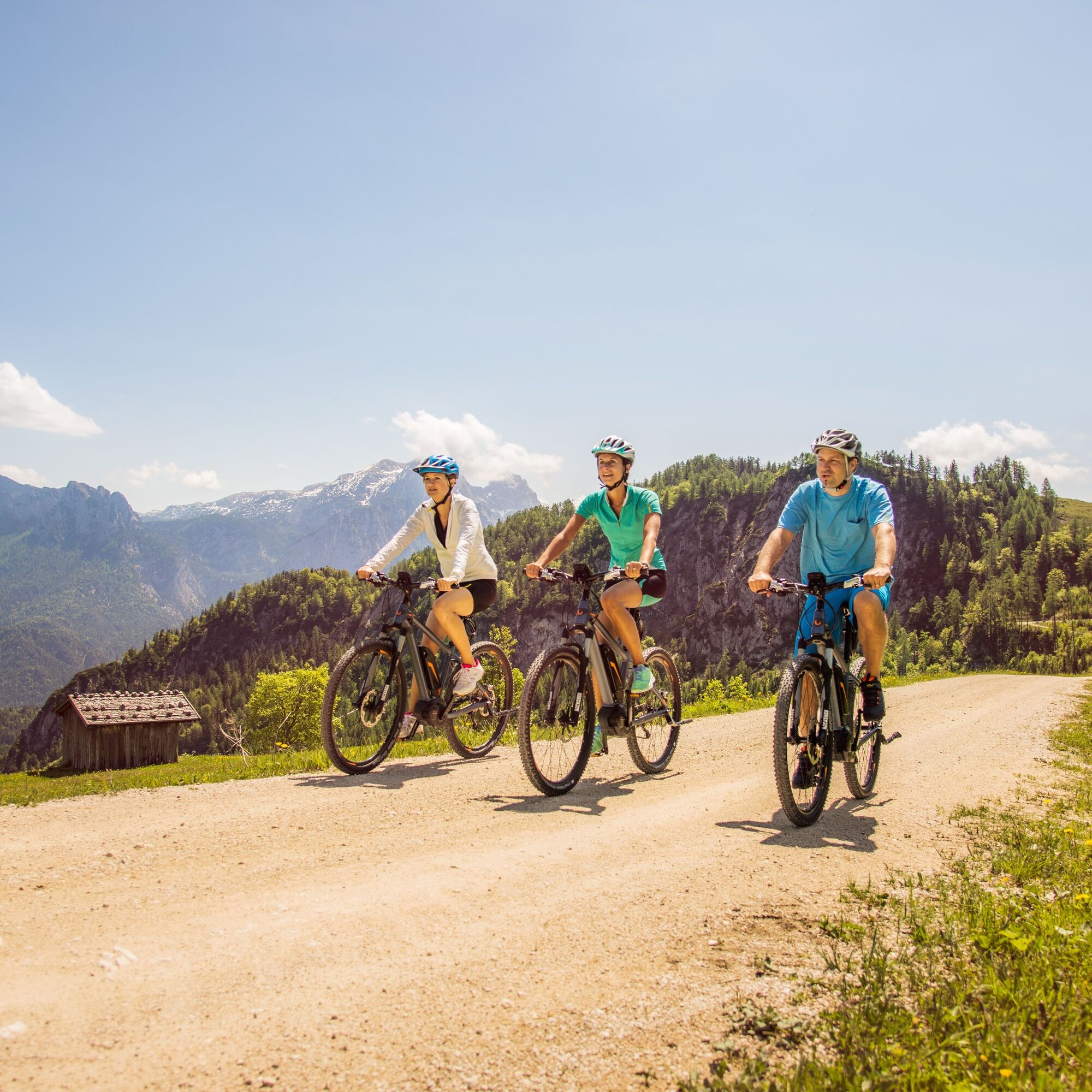
The first six kilometers are ideal for warming up and lead along the Tauern cycle path along the Saalach from Lofer to Reith. In Reith, cross the federal road and the ascent begins: via the "Liedersberg...
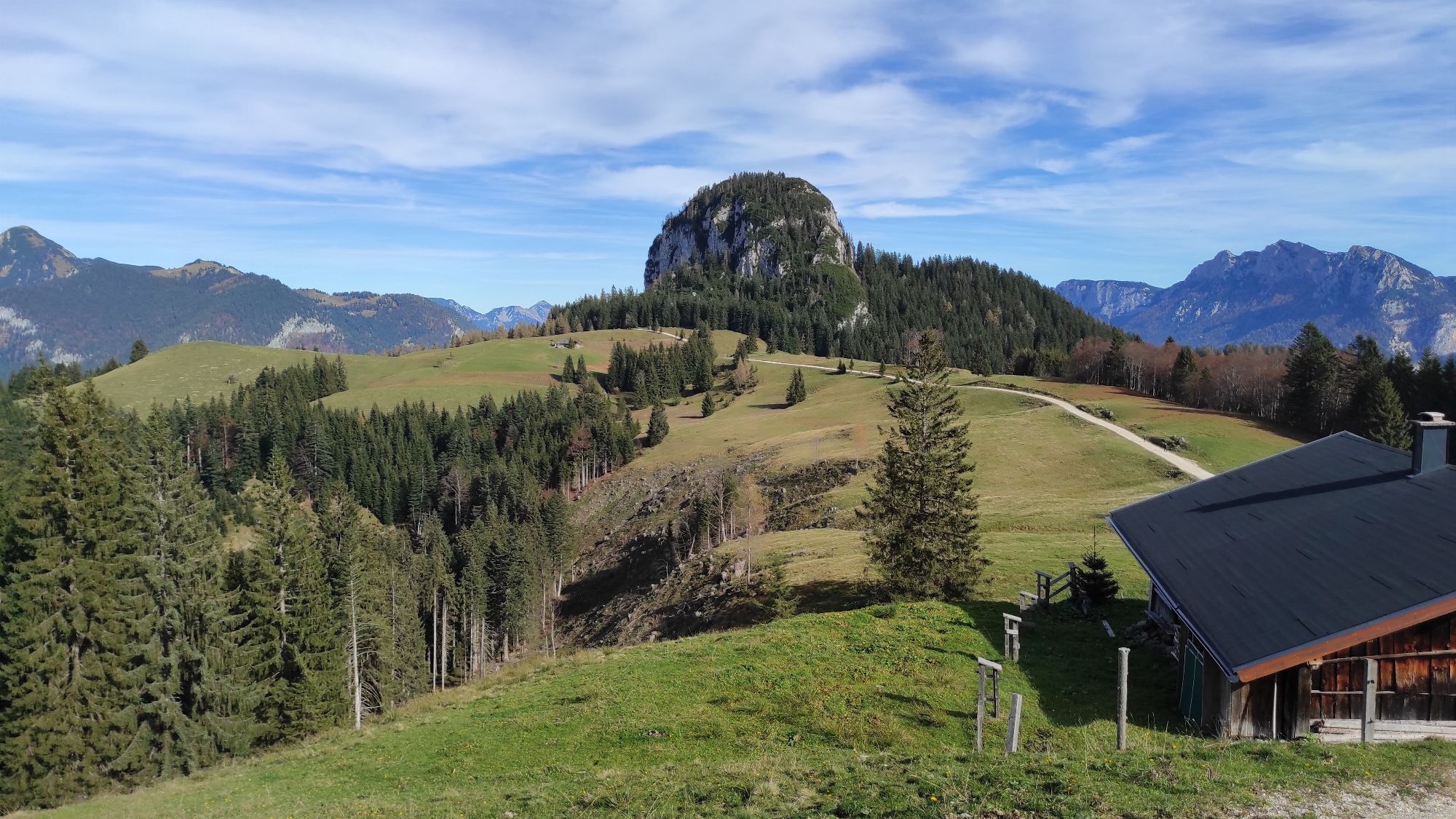
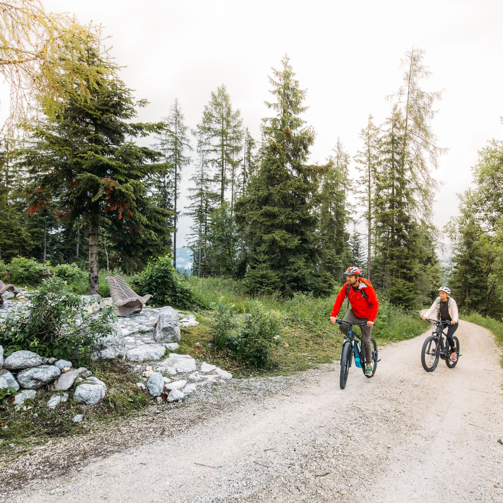
The first six kilometers are ideal for warming up and lead along the Tauern cycle path along the Saalach from Lofer to Reith. In Reith, cross the federal road and the ascent begins: via the "Liedersberg forest road" it goes 4 kilometers uphill to the "Dax". From here, it is about 6 kilometers and 500 meters altitude gain through the "Unkenberger Mähder" and past the Logenplatz to the highest point of the route, the Schwarzeck in the Almenwelt Lofer. The last 8 kilometers go downhill over the paved high road back to Lofer.

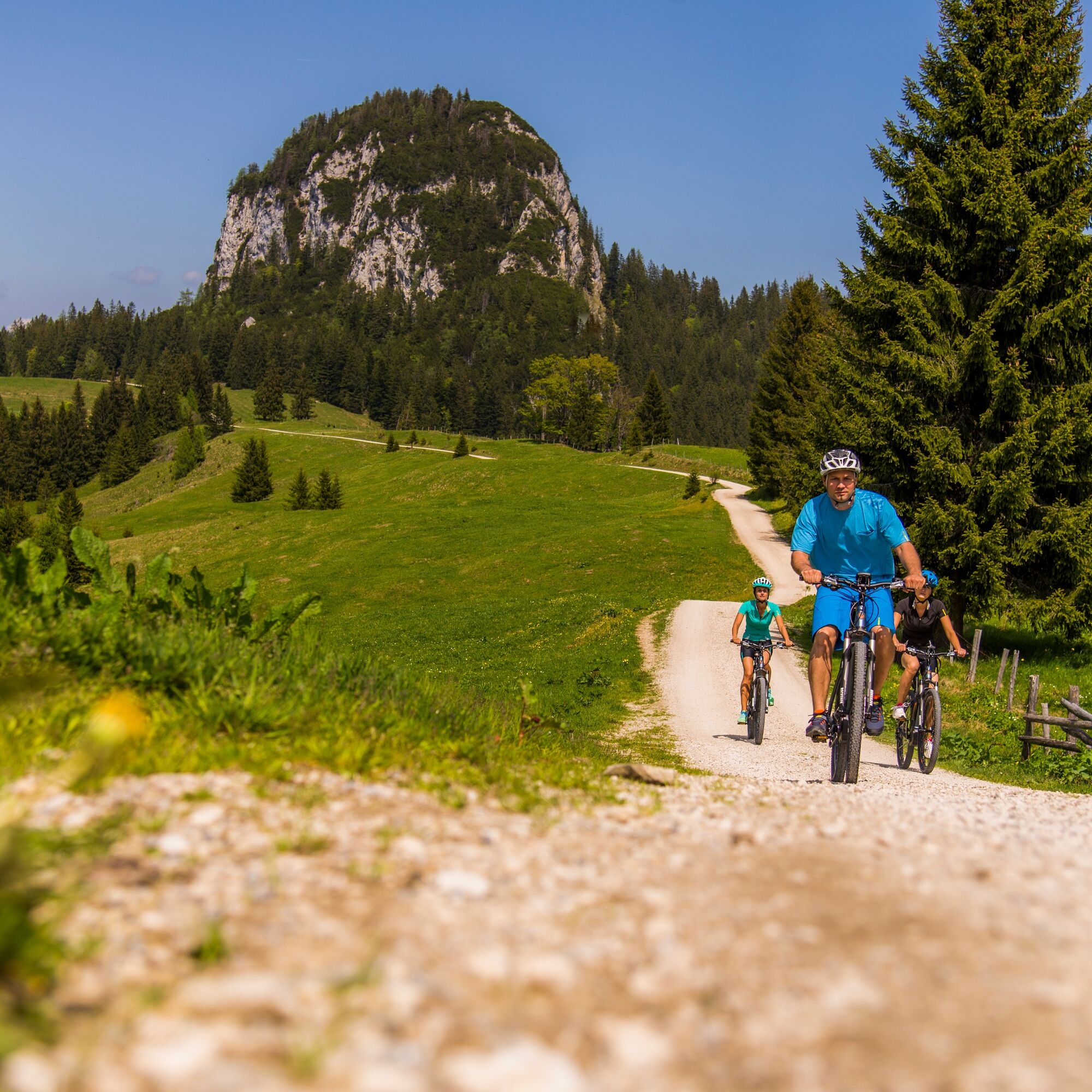
Lofer - Auer Brücke - Reith - Liederseberg - Dax - Unkenberger Mähder - Logenplatz - Dietrichshorn - Schwarzeck - Almenwelt Lofer - Loderbichl - Lofer.
Igen
MTB equipment,
Via B311 or B178 to Lofer, at the roundabout continue towards Salzburg. 300 meters later is the large parking lot at the tourist office (5090 Lofer, Lofer 310)
Free at the large parking lot in Lofer (Address: 5090 Lofer, Lofer 310)
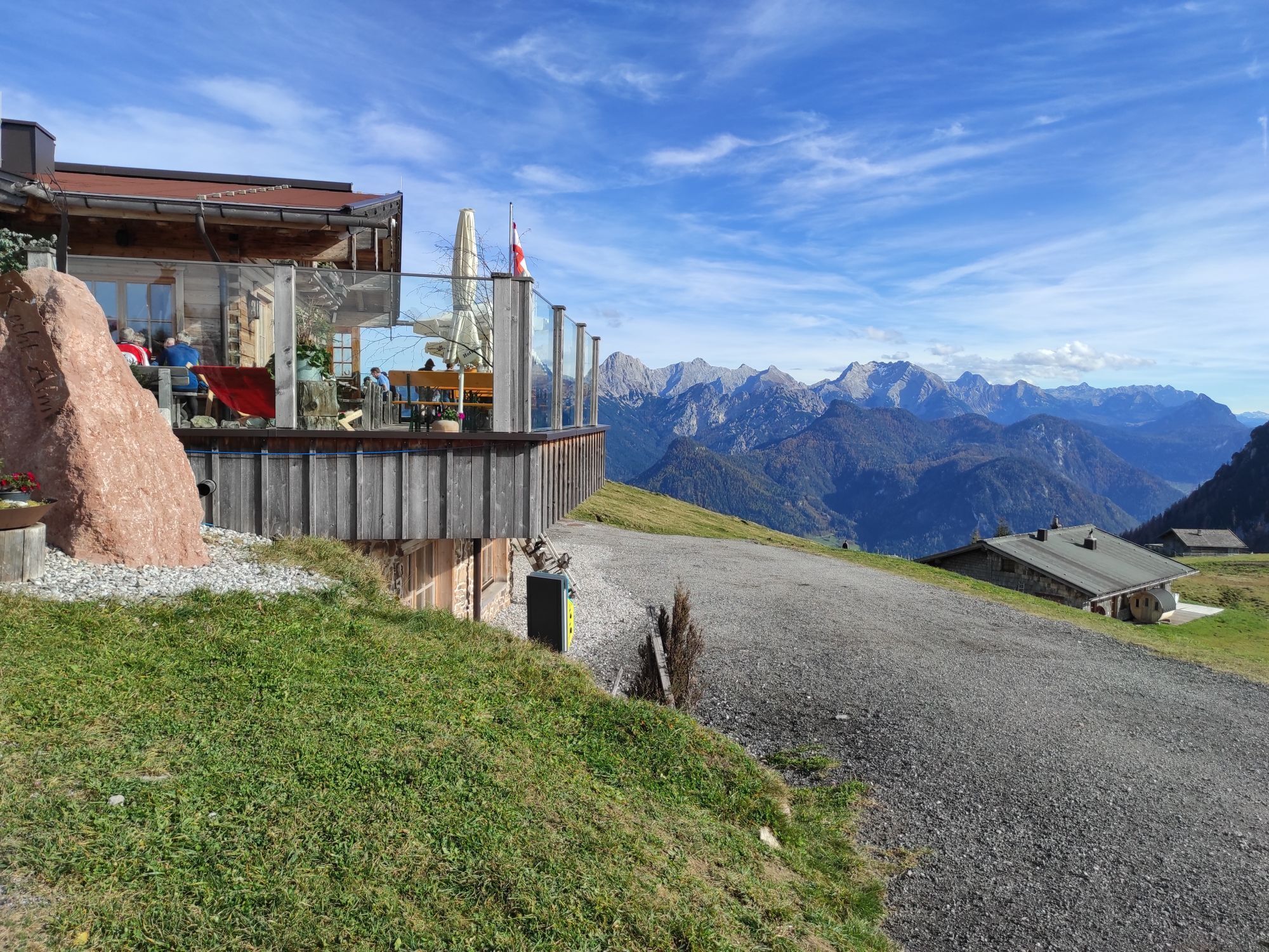
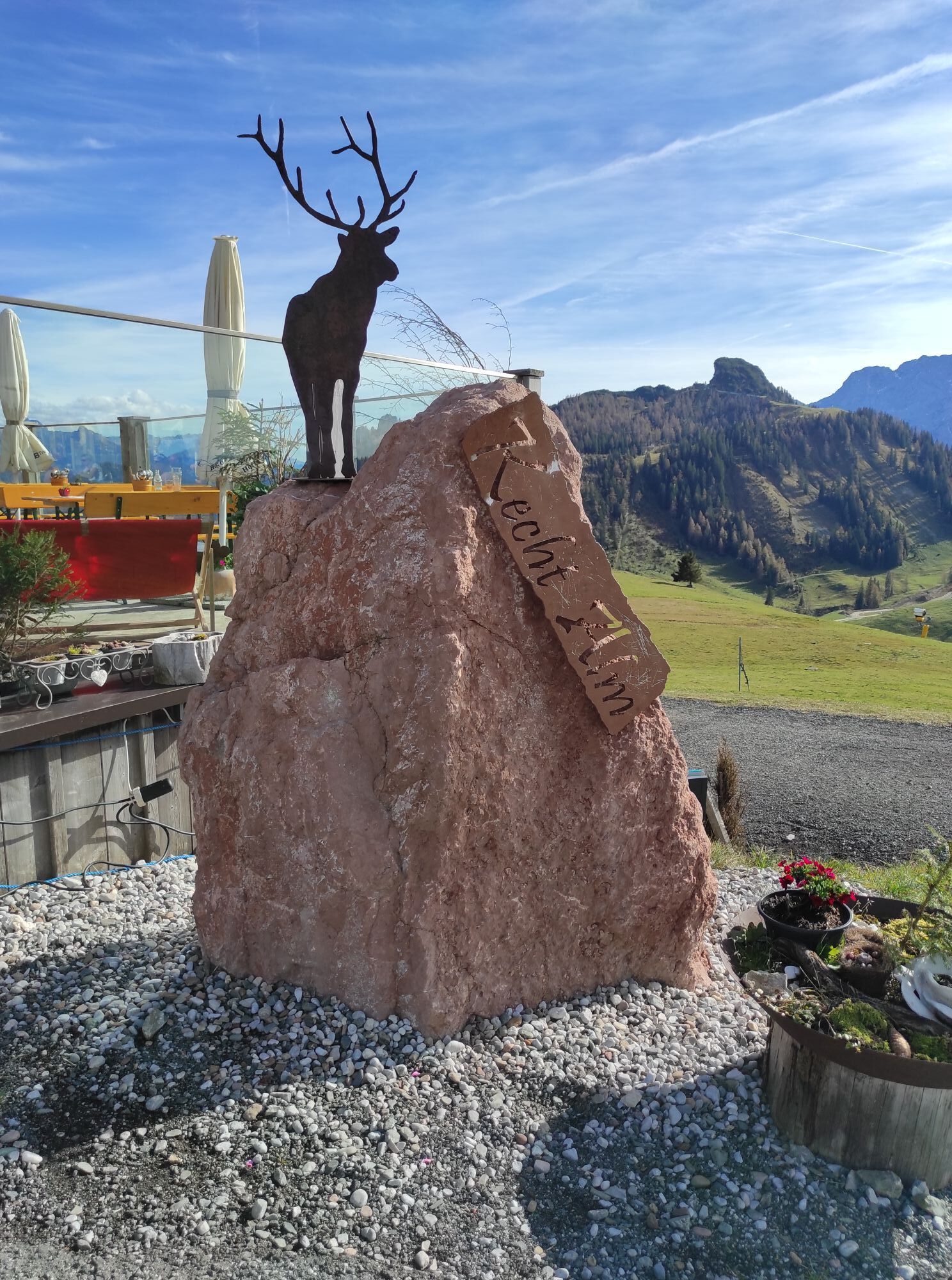
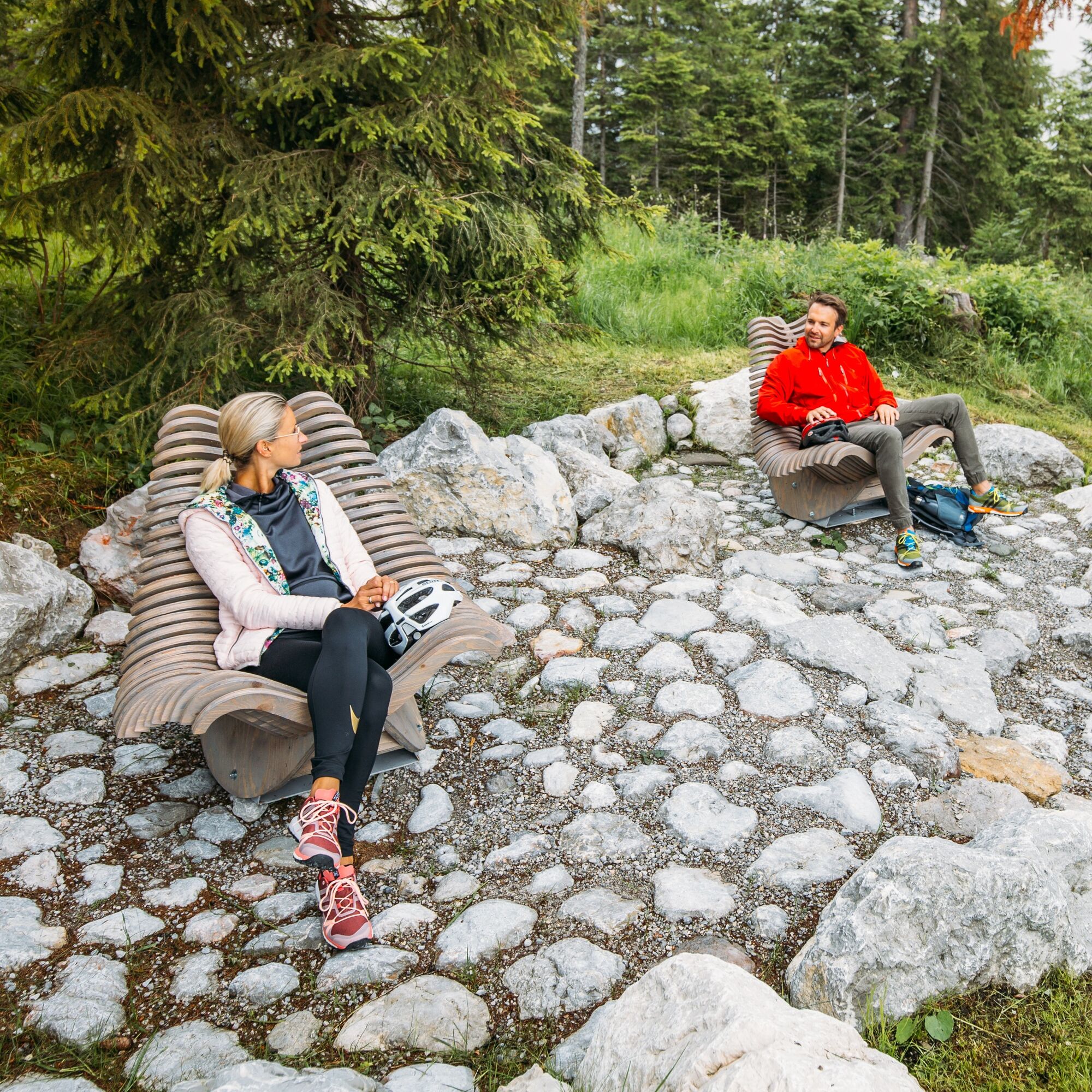
The Kechtalm at Schwarzeck with its beautiful panorama invites you to stop (incl. e-bike charging station) at the highest point of the route.
Népszerű túrák a környéken
-
3,2
From Heutal to Sonntagshorn in the Salzburger Saalachtal
közepesKirándulás 11,7 km -
4,5
Rundweg vom Hintersee zur Halsalm
közepesKirándulás 9,53 km -
4,2
Halsalm
Kirándulás 6,43 km -
5,0
Sonntagshorn über Hochalm (Unken, Heutalbauer)
közepesKirándulás 11,2 km -
4,9
Blaueishütte
közepesKirándulás 11,4 km -
2,8
Almerlebnisweg Ramsau
Kirándulás 11,8 km -
3,4
Blaueis - Schärtenspitze
Kirándulás 7,29 km -
3,3
Rauschberg Rundwanderung über Sackgrabensteig
könnyűKirándulás 18 km -
4,6
CHIEMGAU: Hörndlwand (1684m), Gurnwandkopf (1691m)
könnyűKirándulás 12,6 km -
4,4
Unternberg
könnyűKirándulás 9,20 km
Túrázás & nyomkövetés


Ne maradjon le az ajánlatokról és az inspirációról a következő nyaralásához!
Az Ön e-mail címe hozzá lett adva a levelezőlistához.