


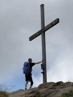
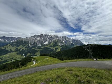
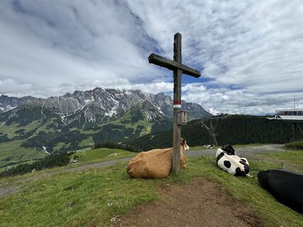
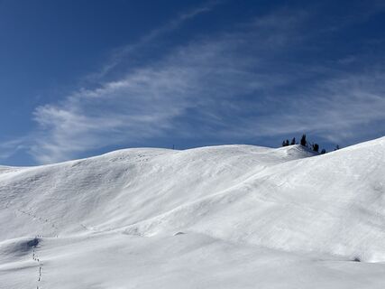
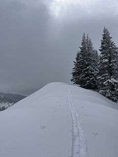
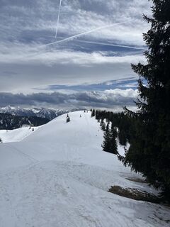
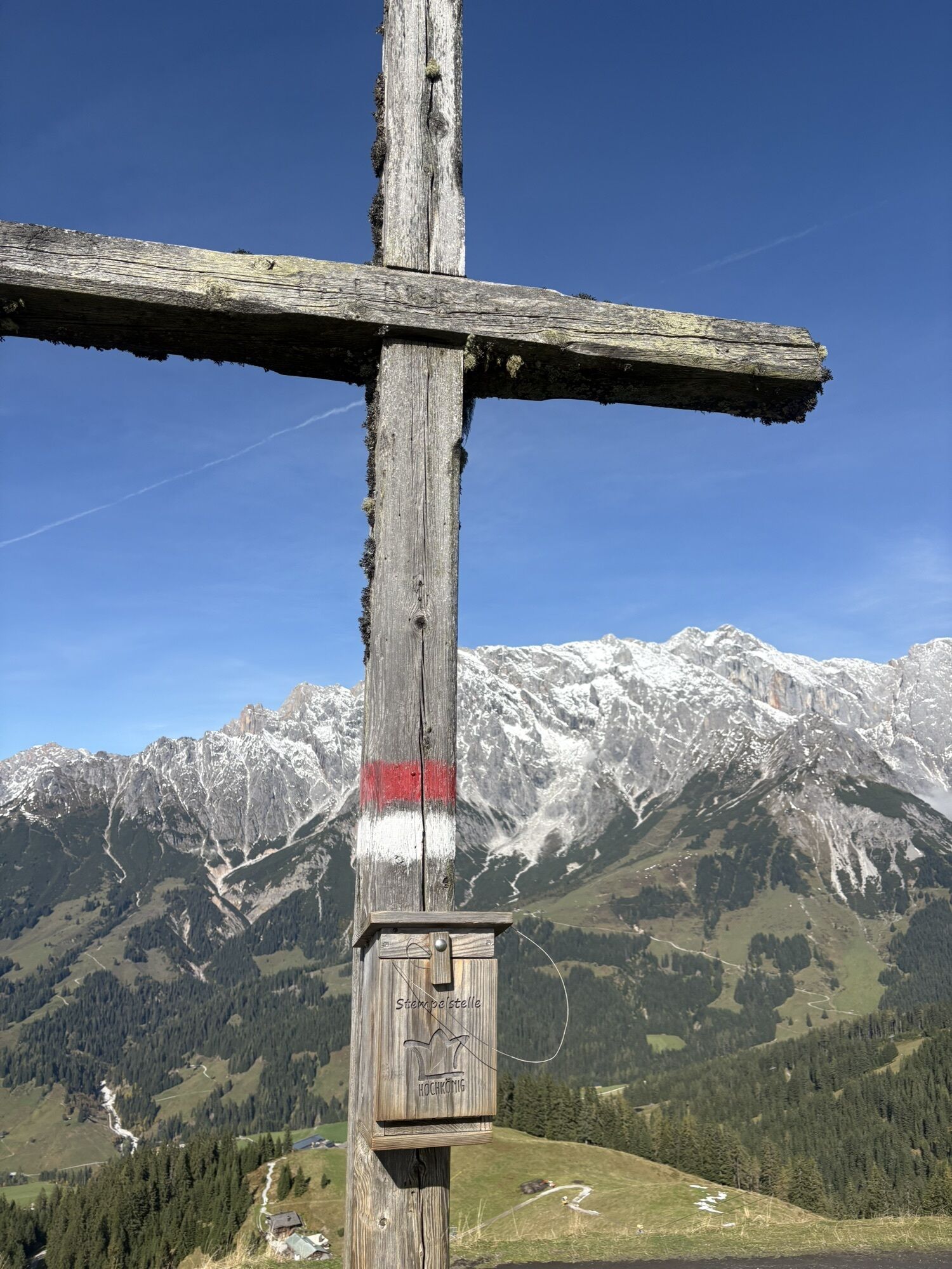
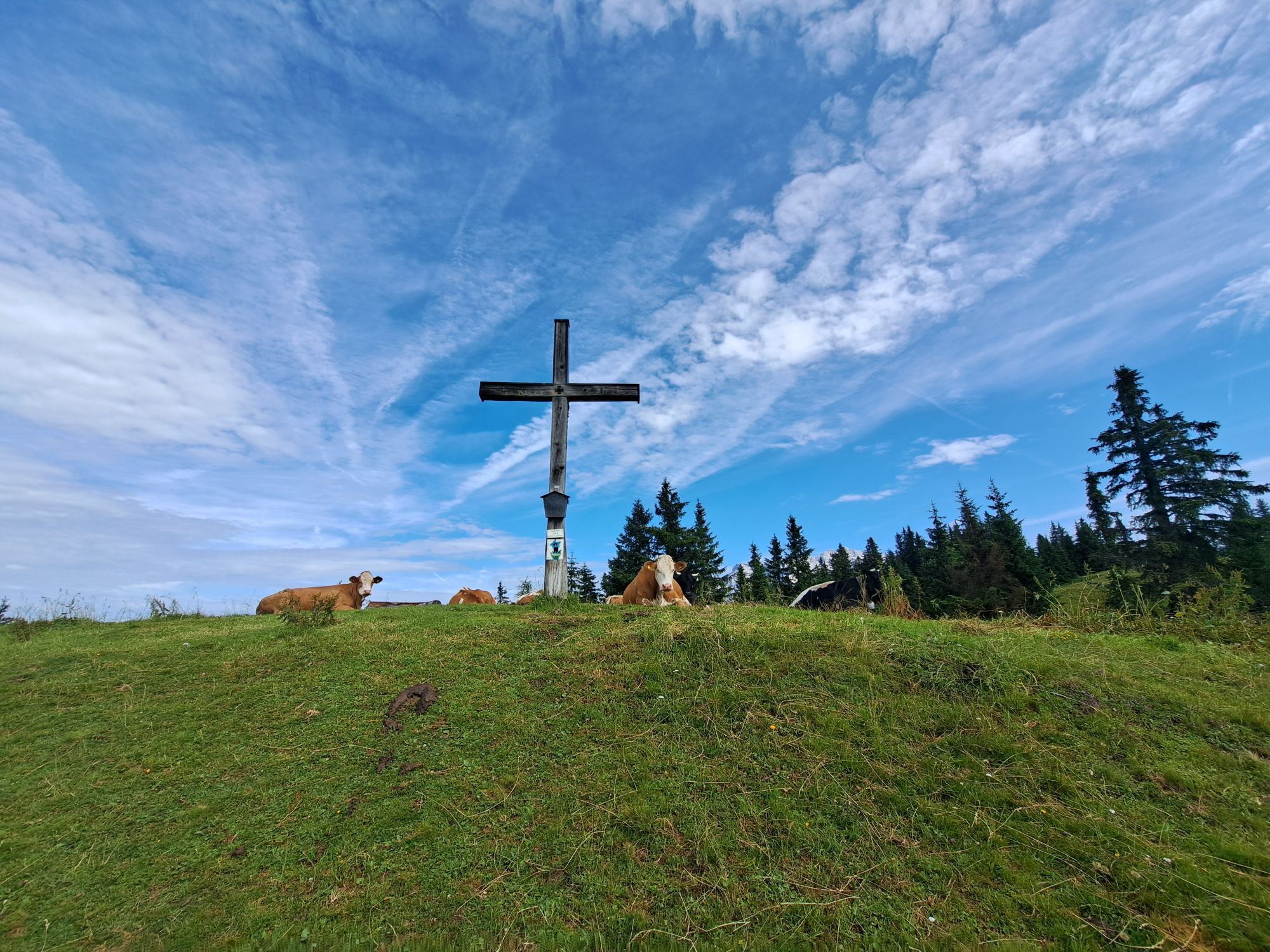
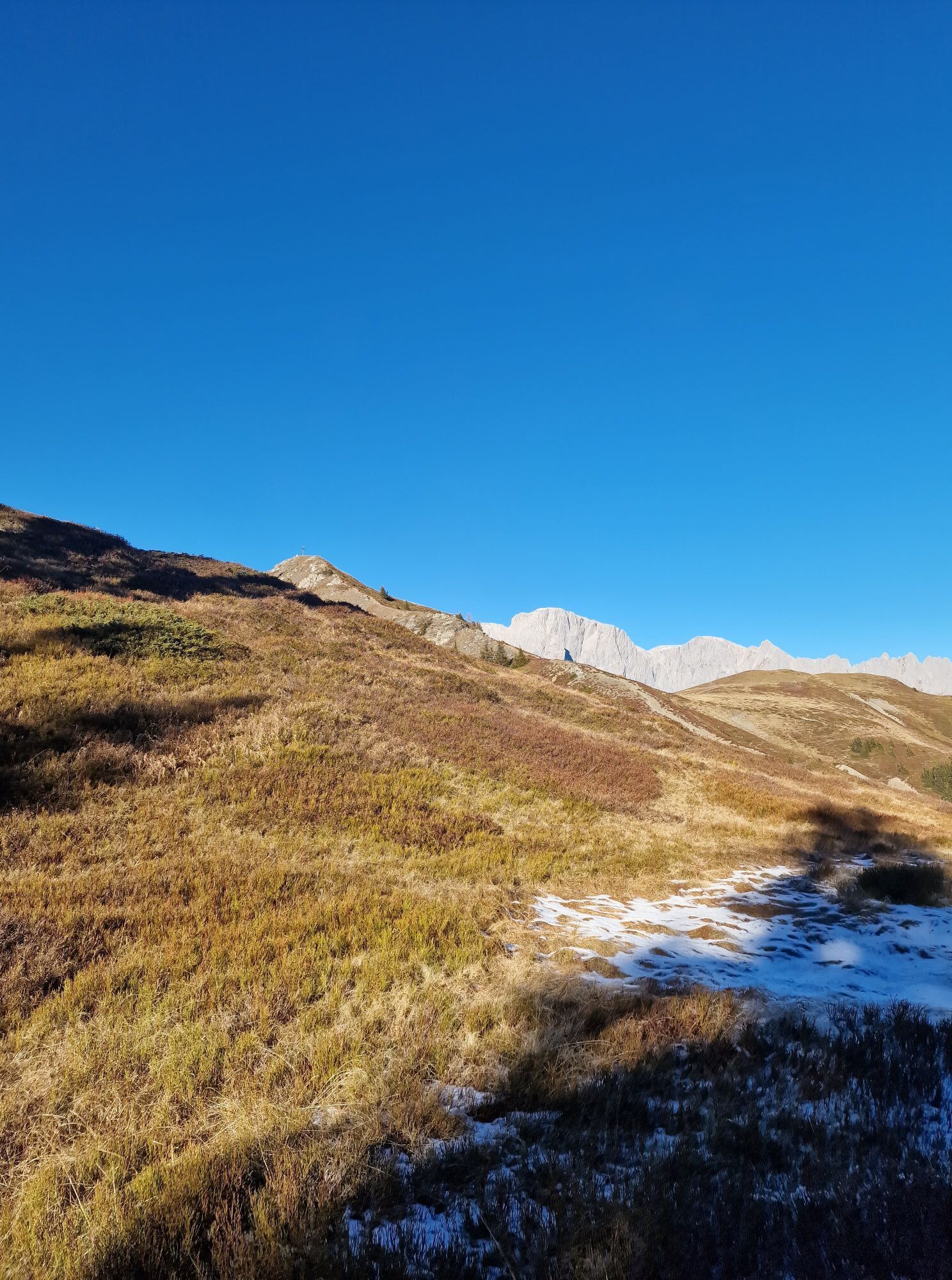
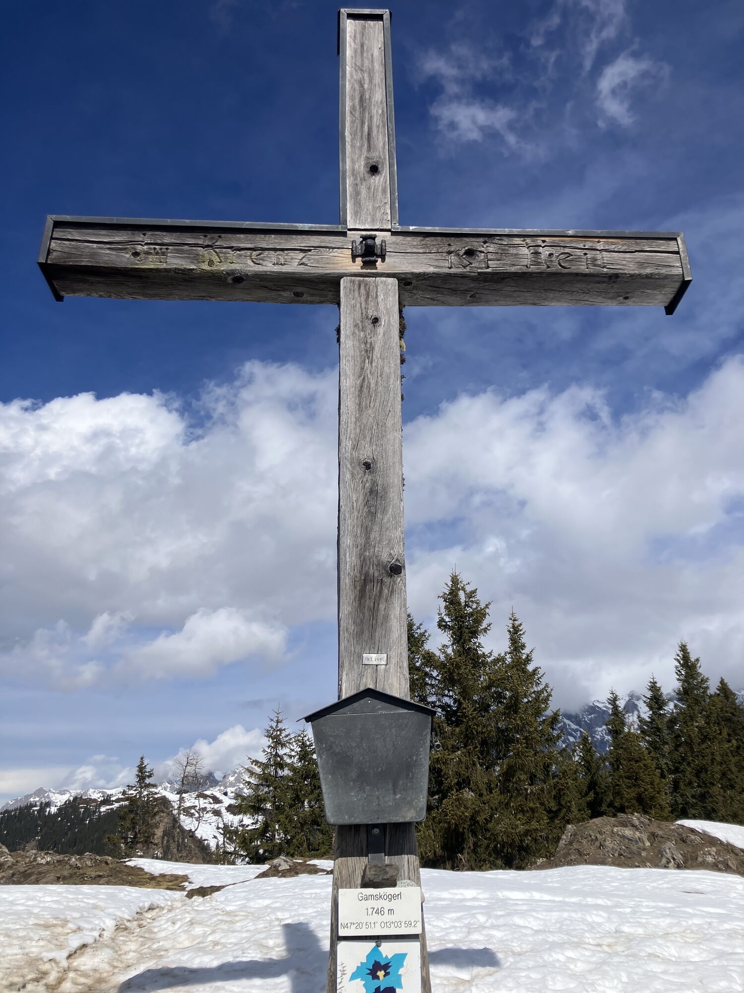
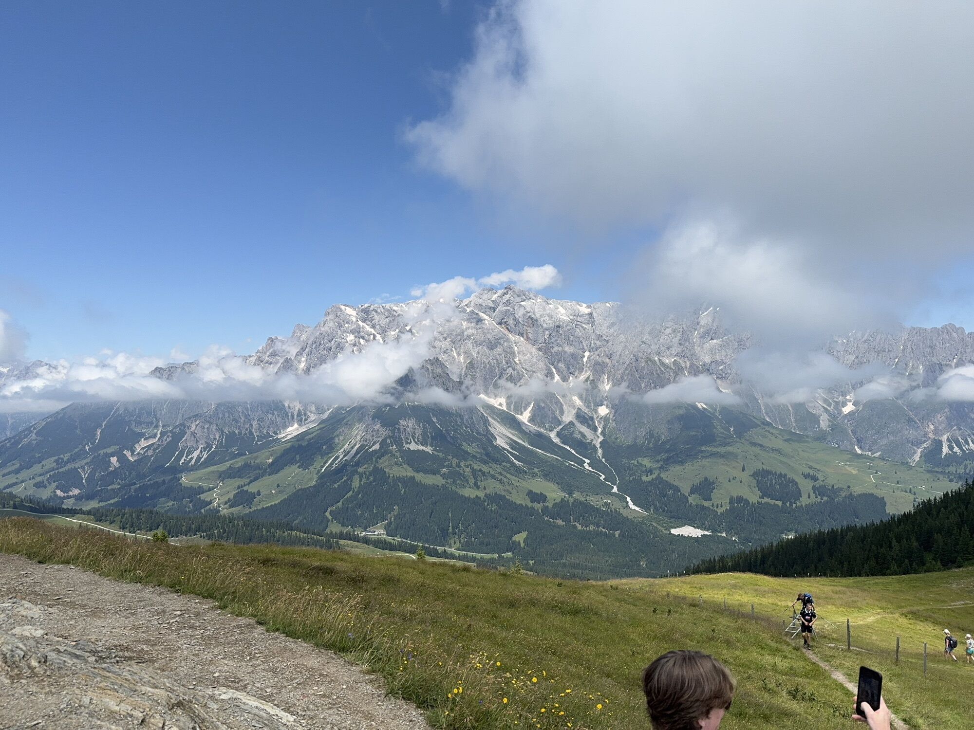
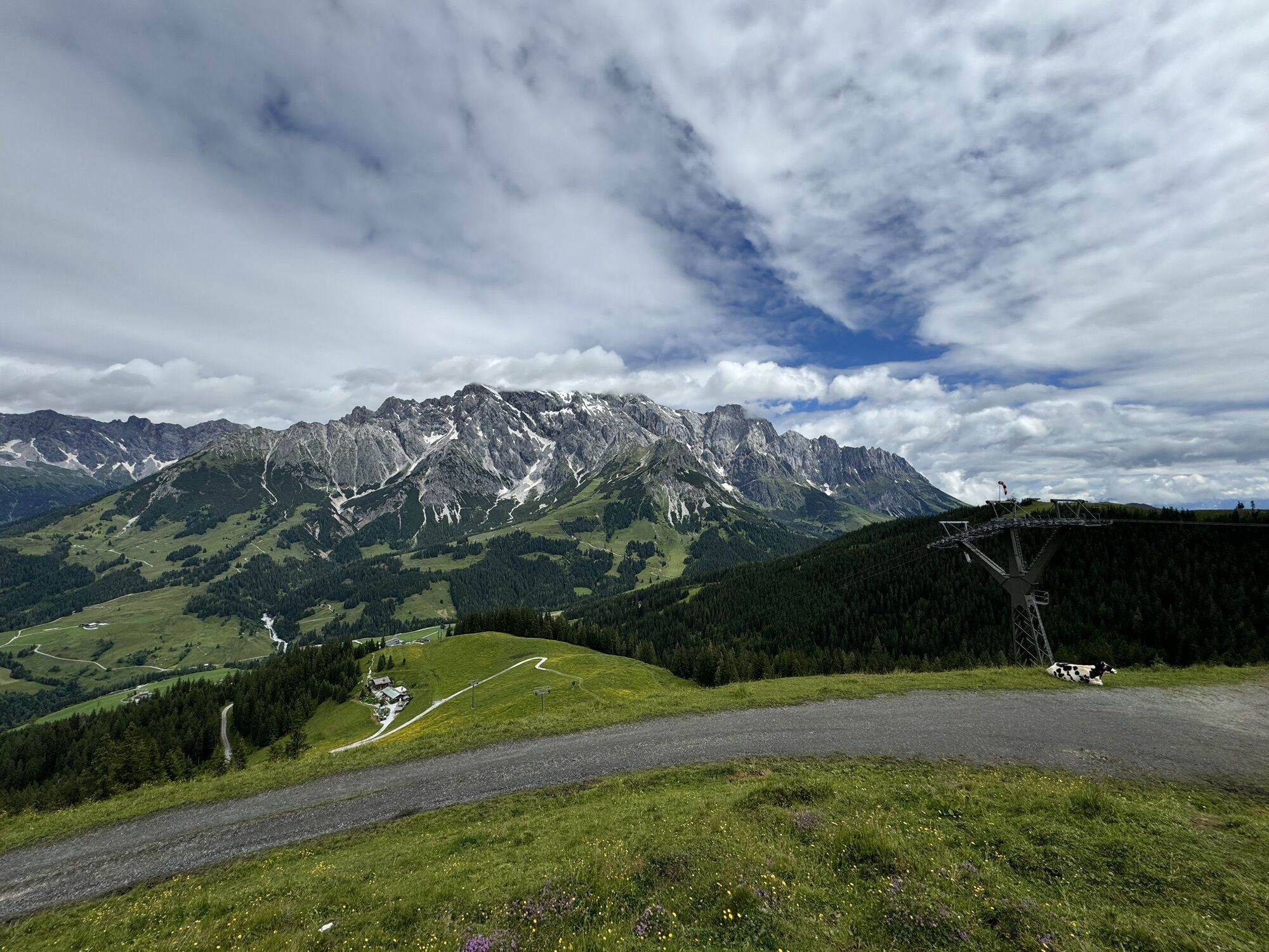
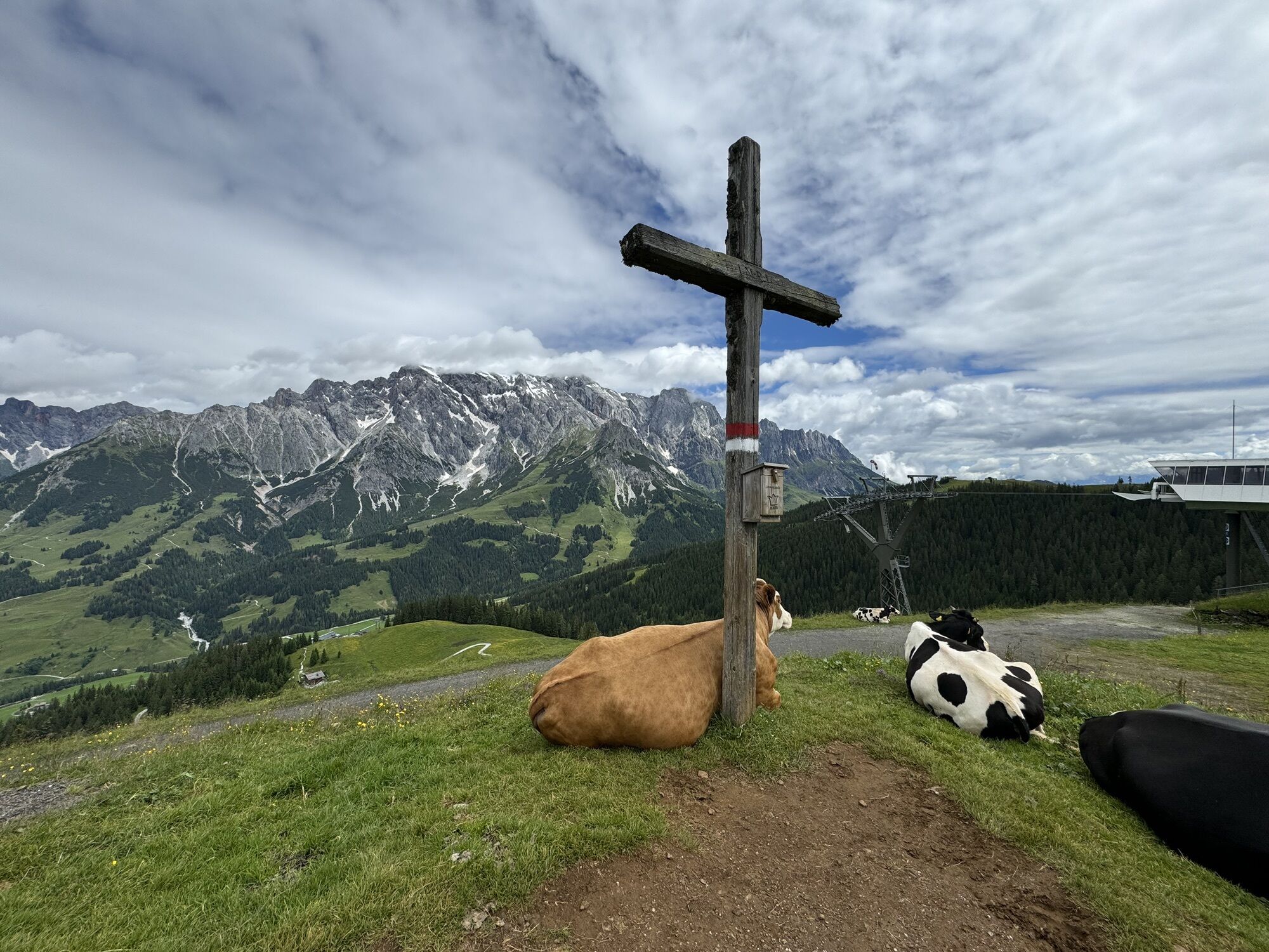
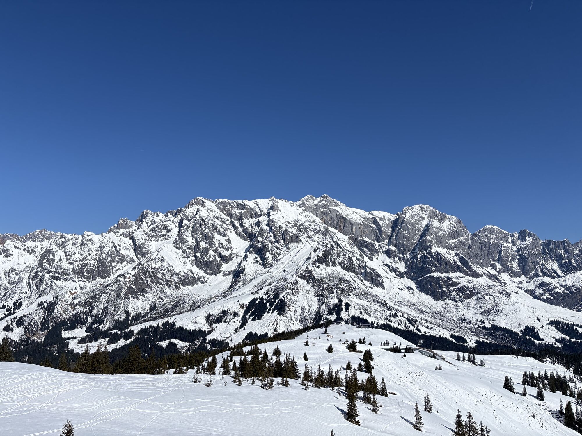
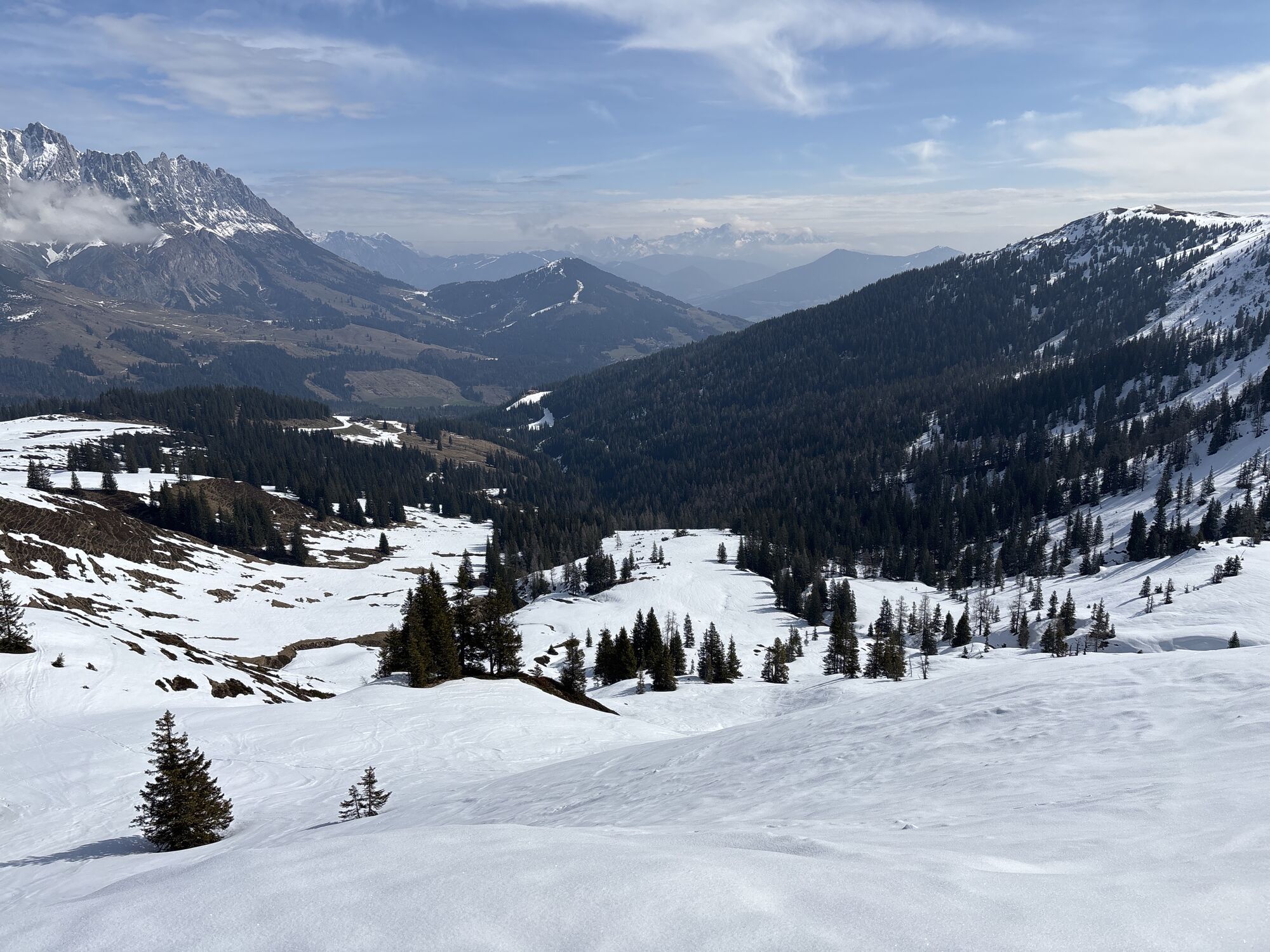
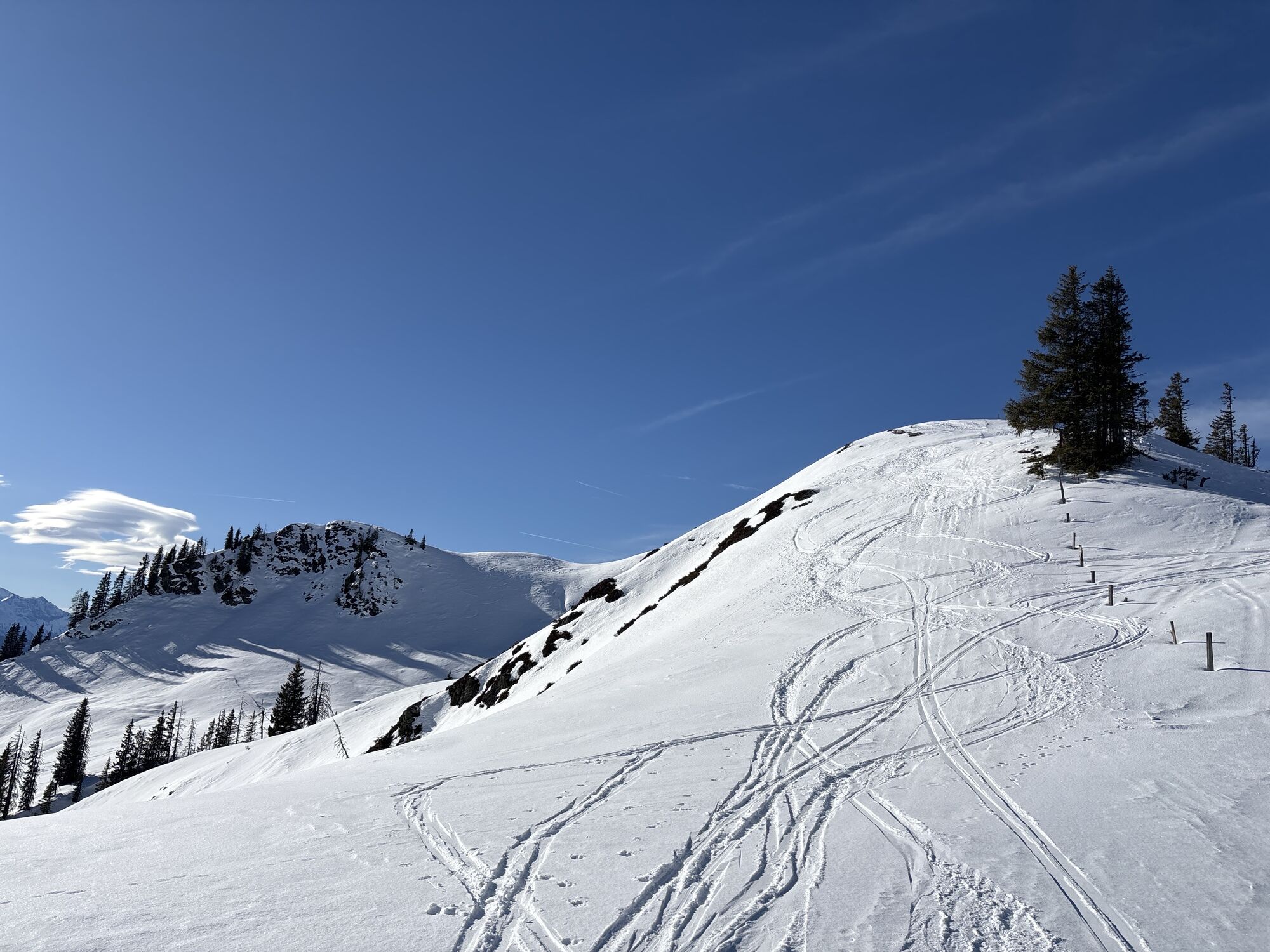
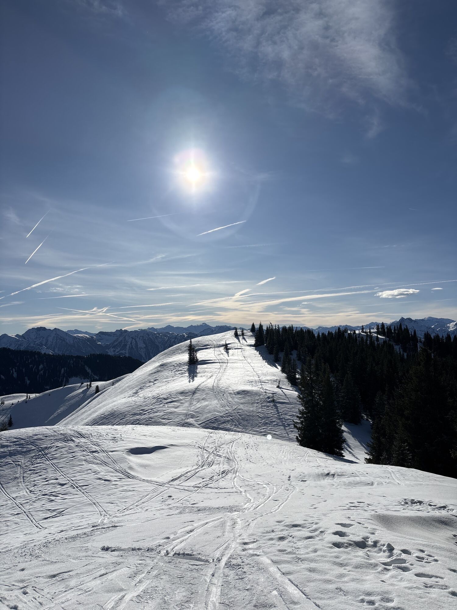
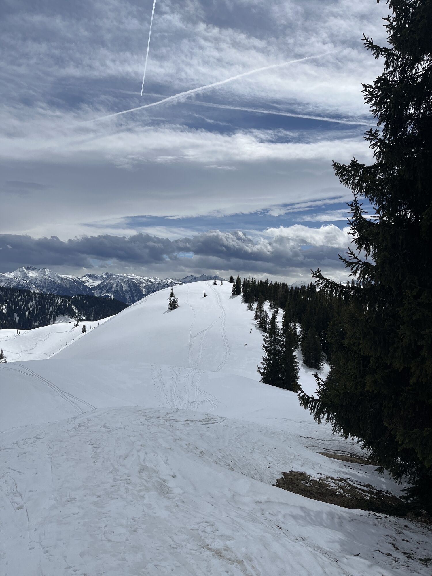
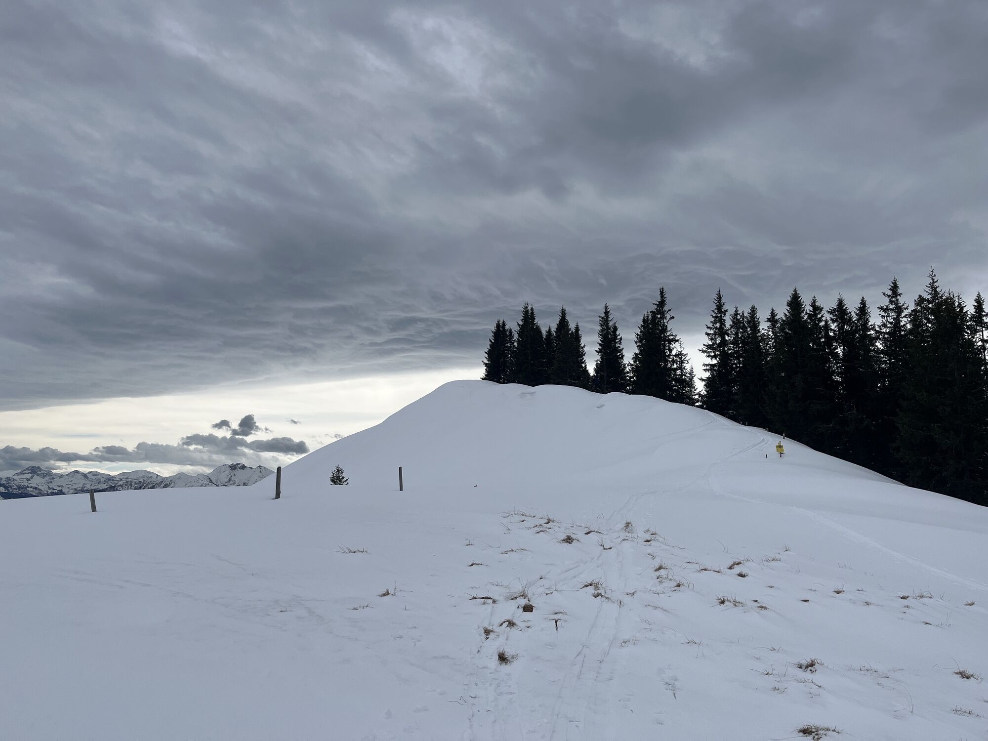
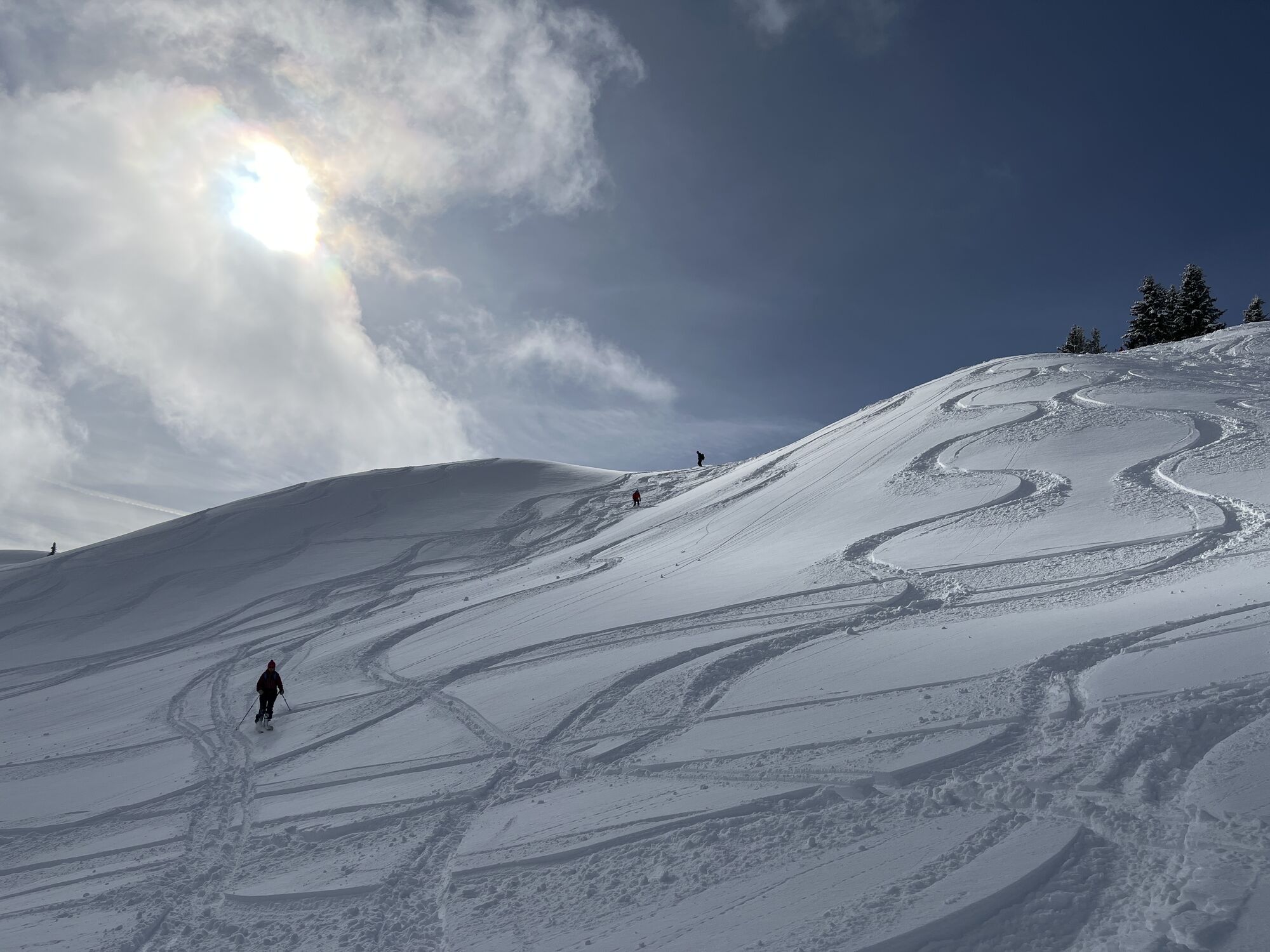
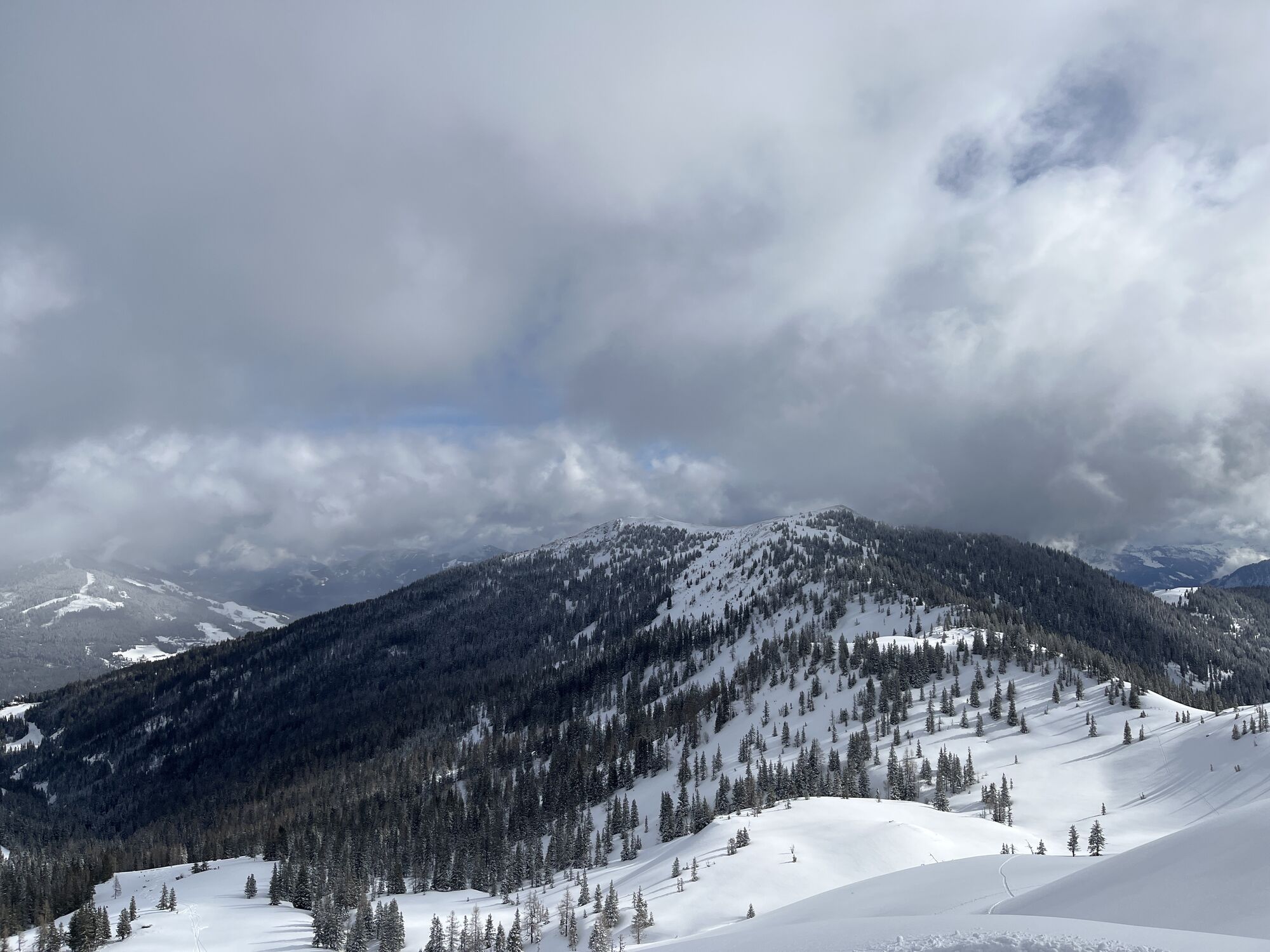
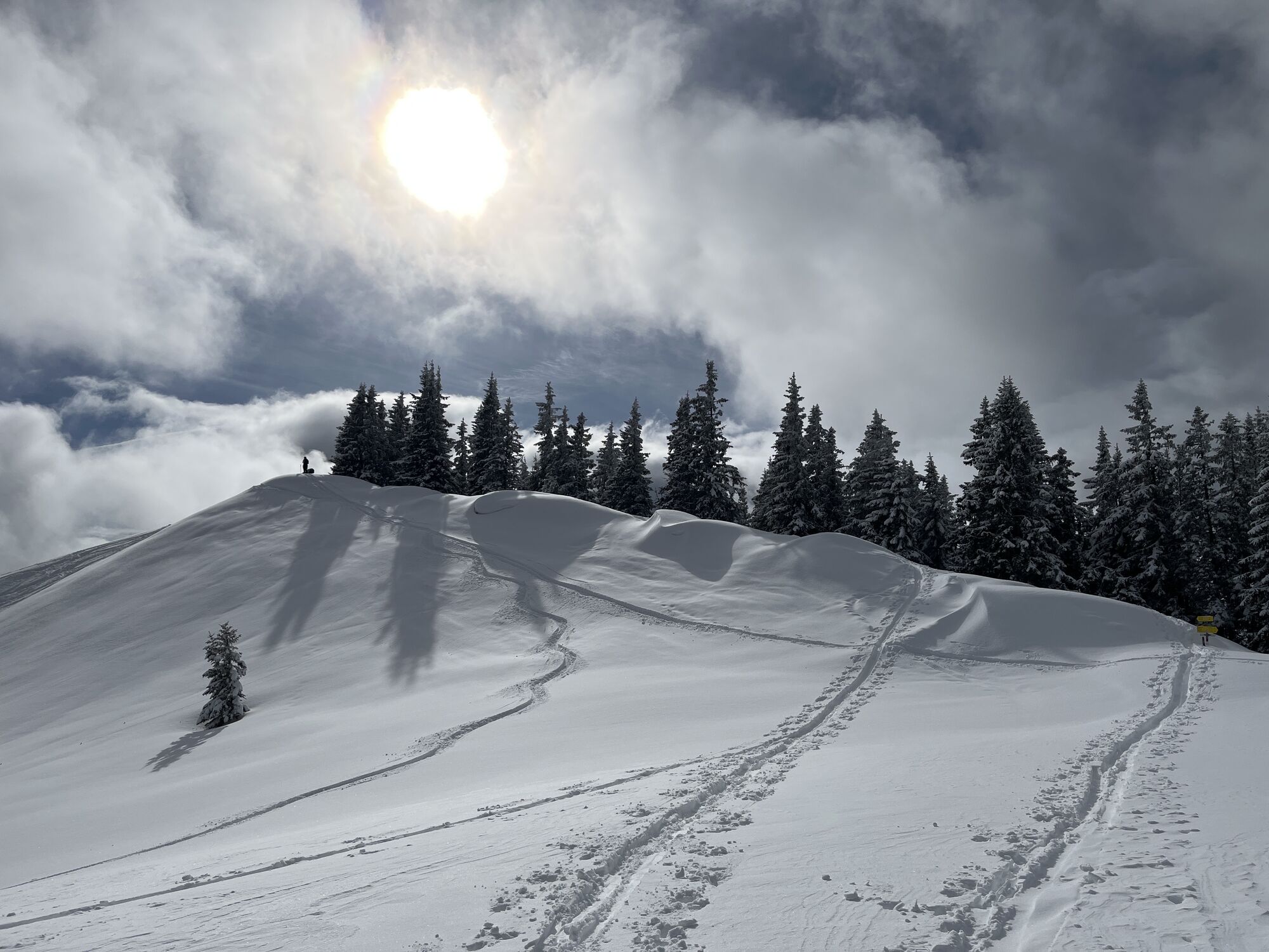
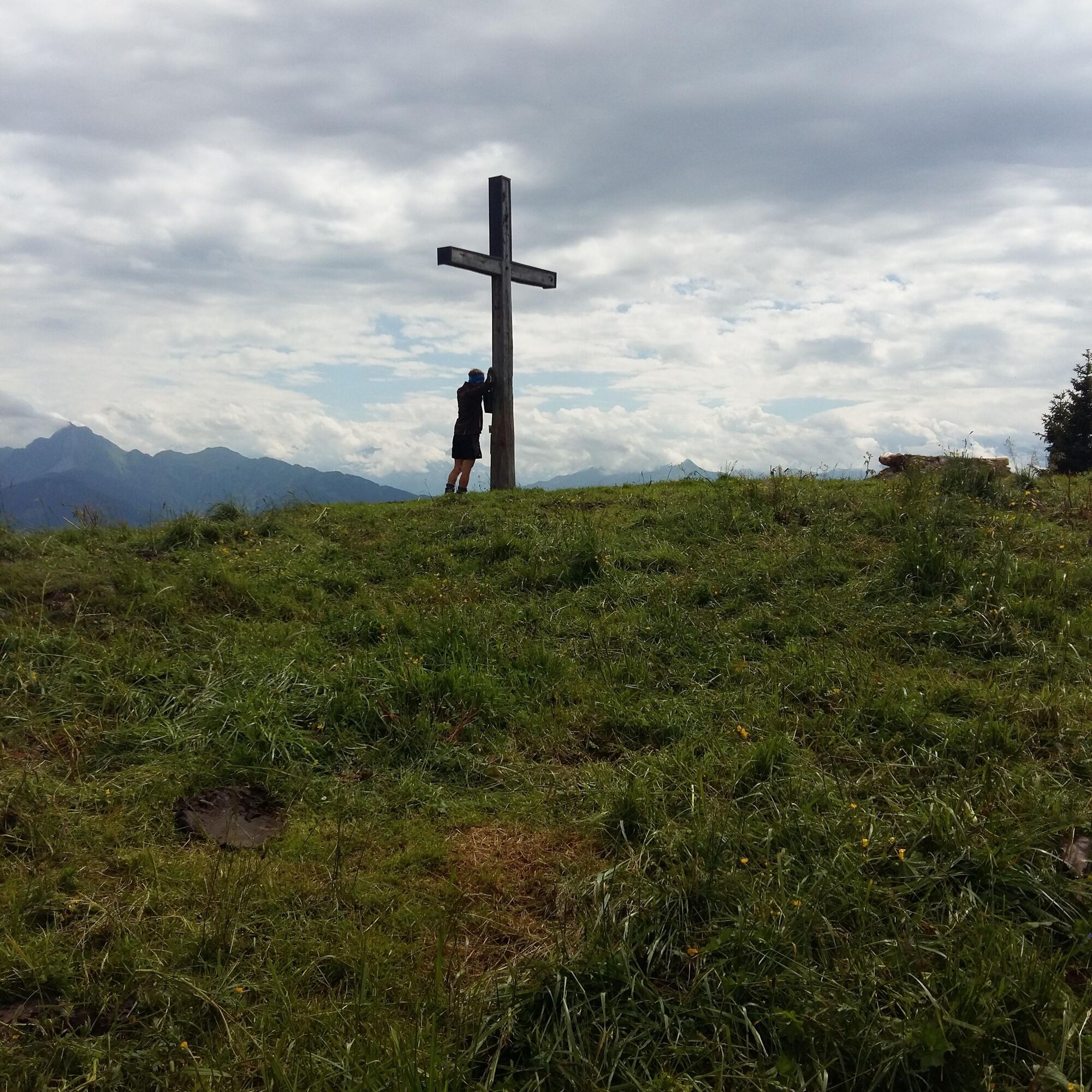
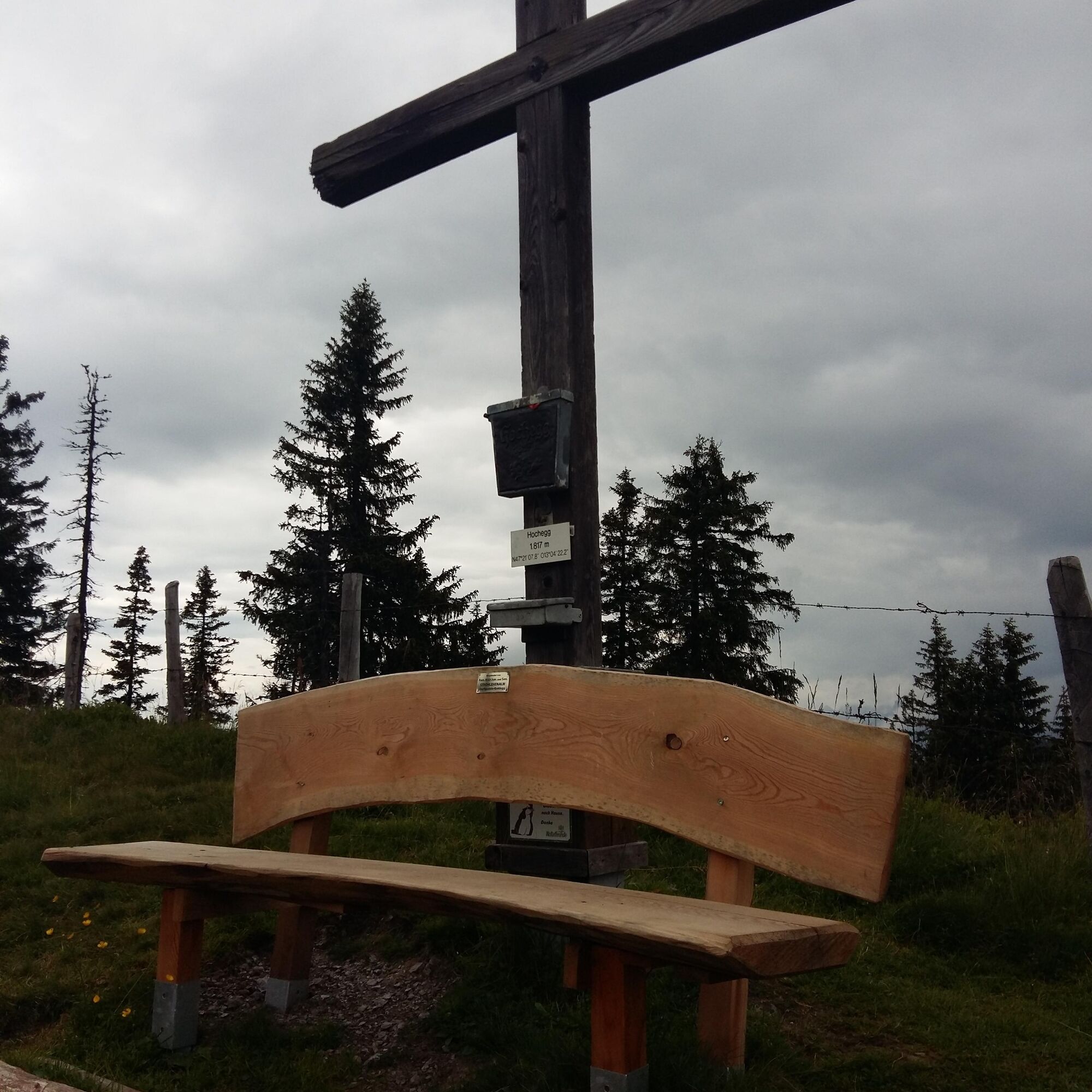
Summit conqueror Gamskögerl


Fotók felhasználóinkról
-
 © StefanLétrehozta a 14.07.2024
 -
 © Peter De Smedt2Létrehozta a 11.10.2025
 -
 © Peter De Smedt2Létrehozta a 11.10.2025
 -
 © Peter De Smedt2Létrehozta a 11.10.2025
 -
 © Peter De Smedt2Létrehozta a 11.10.2025
 -
 © Peter De Smedt2Létrehozta a 11.10.2025
 -
 © Birgit&SvenLétrehozta a 13.09.2025
 -
 © Birgit&SvenLétrehozta a 13.09.2025
 -
 © Ljanka HolzknechtLétrehozta a 06.07.2025
 -
 © Michael GanswindLétrehozta a 28.06.2025
 -
 © Michael GanswindLétrehozta a 28.06.2025
 -

 © Isabella Schwaiger-MoserLétrehozta a 16.11.2024
 -
 © Isabella Schwaiger-MoserLétrehozta a 16.11.2024
 -
 © Isabella Schwaiger-MoserLétrehozta a 16.11.2024
 -
 © Hubert EckerstorferLétrehozta a 23.03.2025
 -
 © StefanLétrehozta a 14.07.2024
 -

 © feinschmeckerontourLétrehozta a 08.07.2024
 -
 © feinschmeckerontourLétrehozta a 08.07.2024
 -
 © feinschmeckerontourLétrehozta a 08.07.2024
 -
 © feinschmeckerontourLétrehozta a 04.07.2024
 -
 © feinschmeckerontourLétrehozta a 04.07.2024
 -
 © Heinz SperlLétrehozta a 04.04.2025
 -
 © Heinz SperlLétrehozta a 28.03.2025
 -
 © Heinz SperlLétrehozta a 28.03.2025
 -
 © Heinz SperlLétrehozta a 24.01.2025
 -
 © Heinz SperlLétrehozta a 24.01.2025
 -
 © Heinz SperlLétrehozta a 24.01.2025
 -

 © Matej Mikus 1Létrehozta a 05.06.2024
 -
 © Matej Mikus 1Létrehozta a 05.06.2024
 -
 © Heinz SperlLétrehozta a 19.04.2024
 -
 © Heinz SperlLétrehozta a 29.03.2024
 -
 © Heinz SperlLétrehozta a 29.03.2024
 -
 © Heinz SperlLétrehozta a 13.02.2024
 -
 © Heinz SperlLétrehozta a 13.02.2024
 -
 © Heinz SperlLétrehozta a 13.02.2024
 -
 © Heinz SperlLétrehozta a 13.02.2024


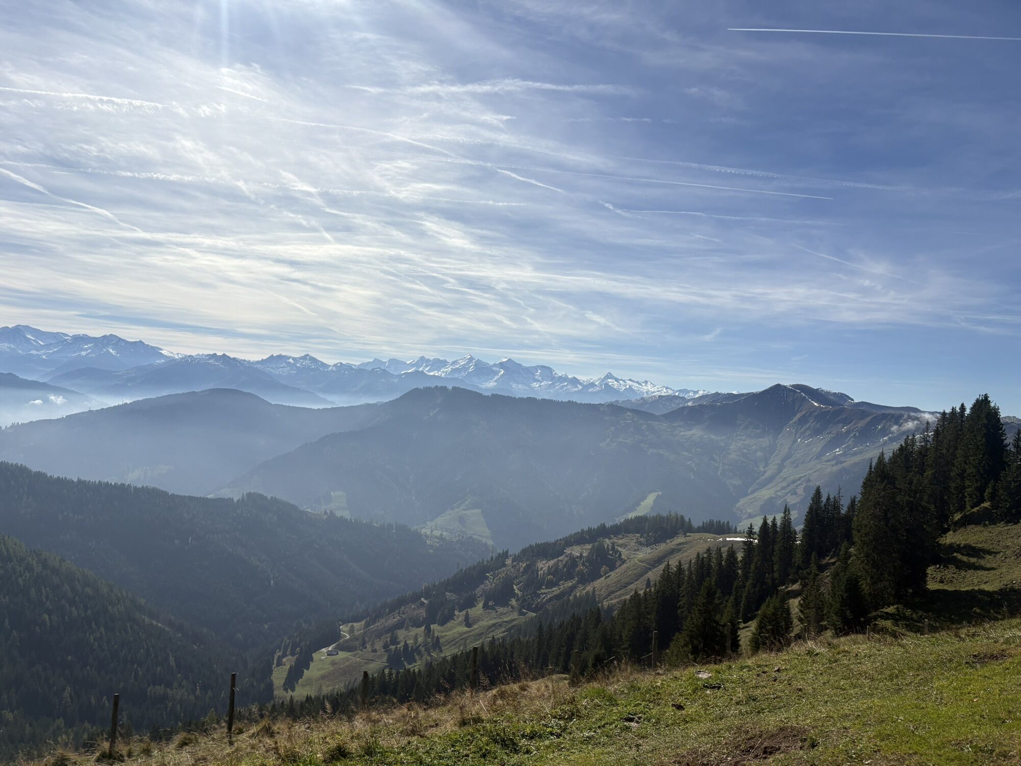

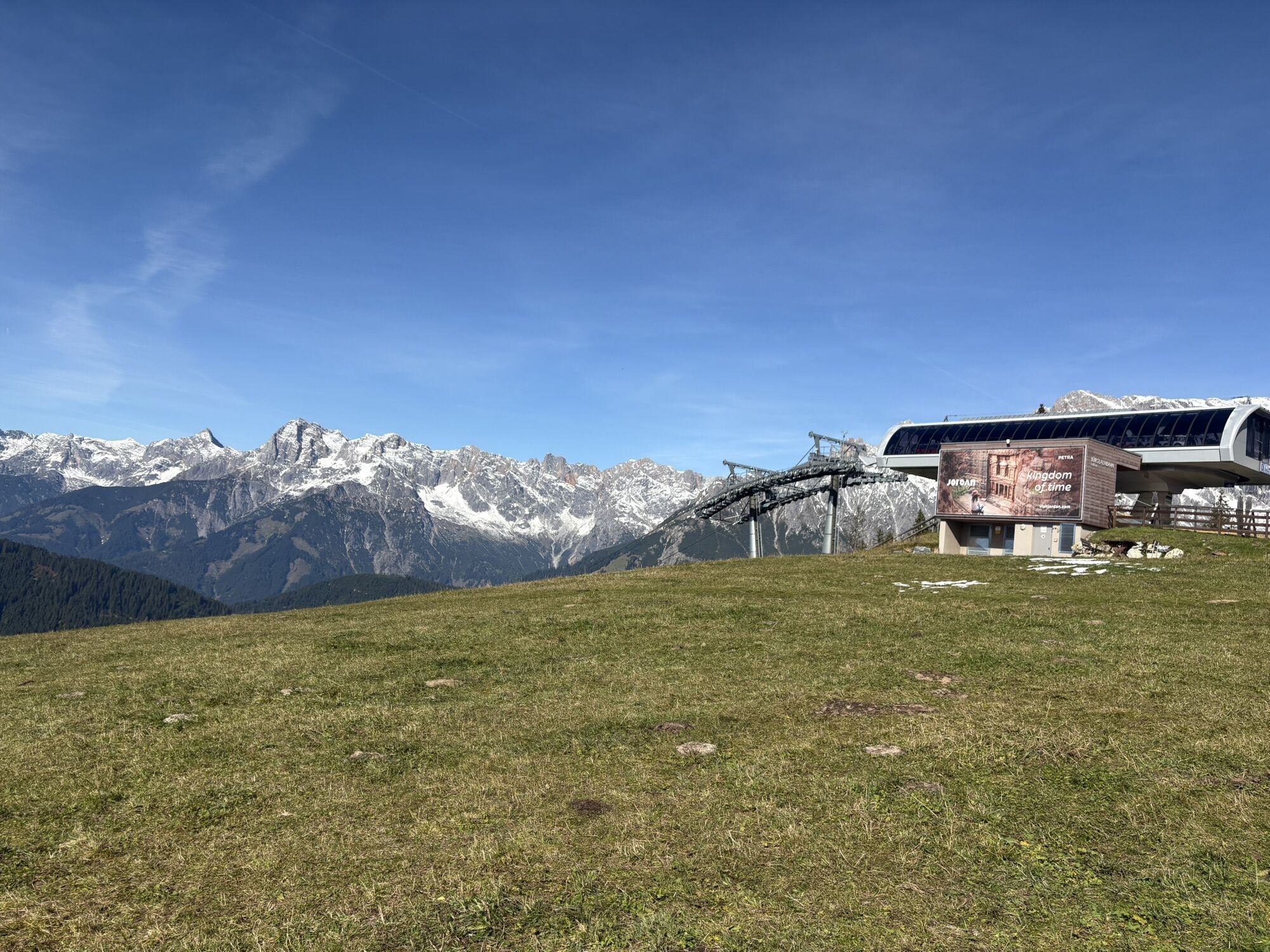

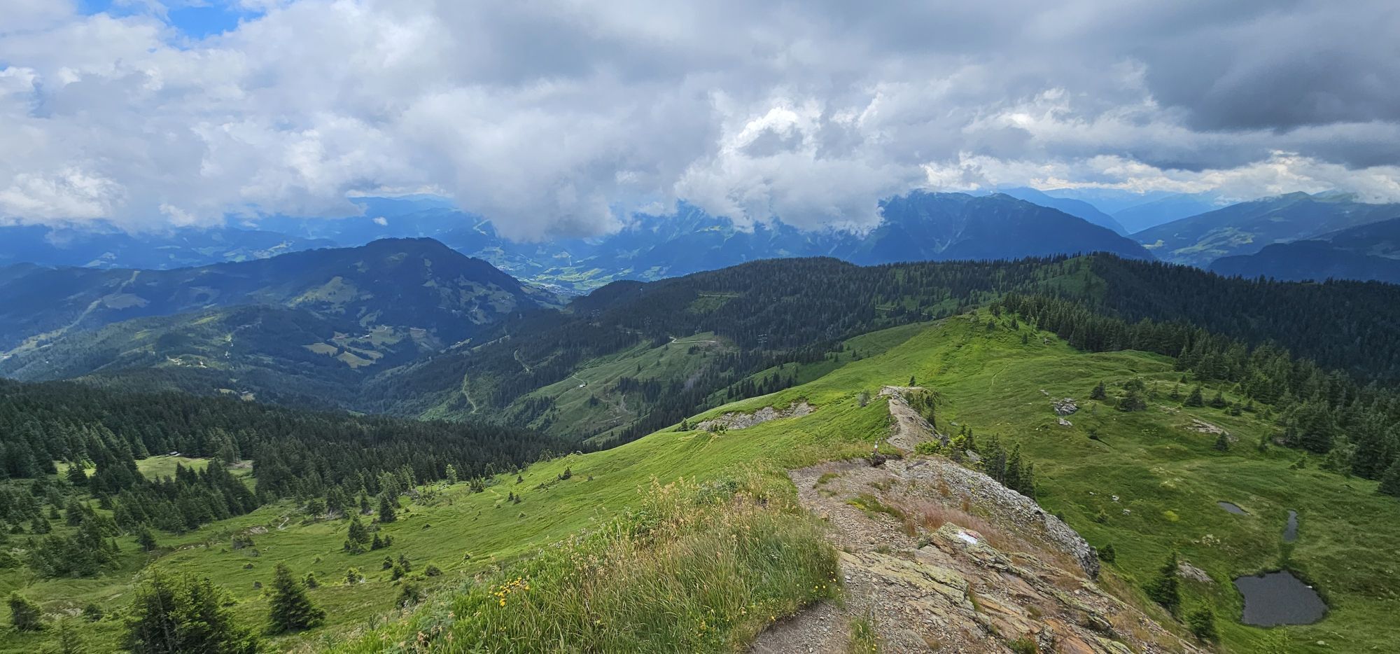


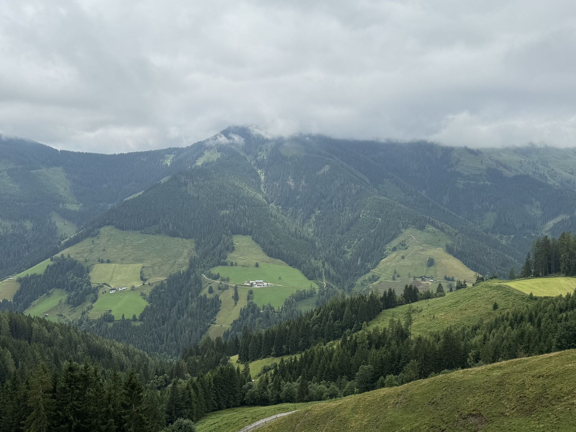


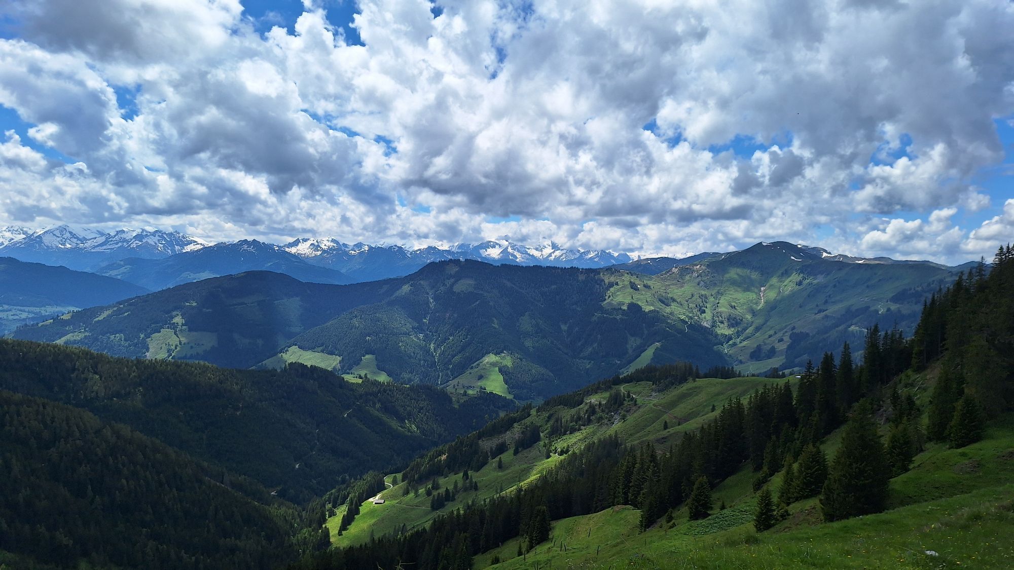


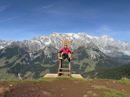
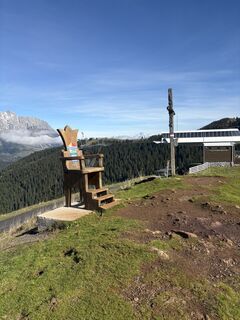
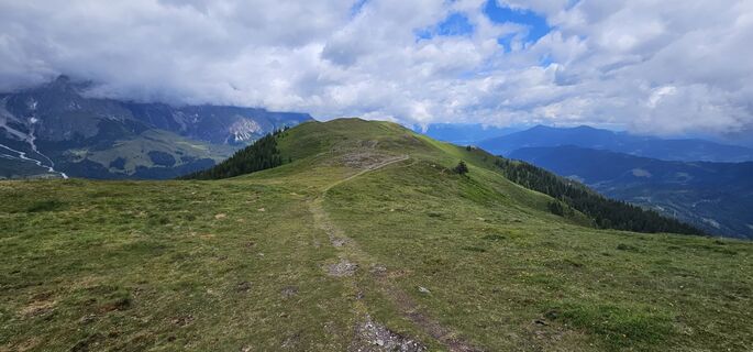
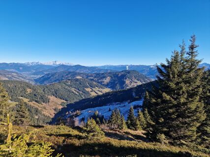
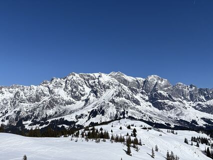
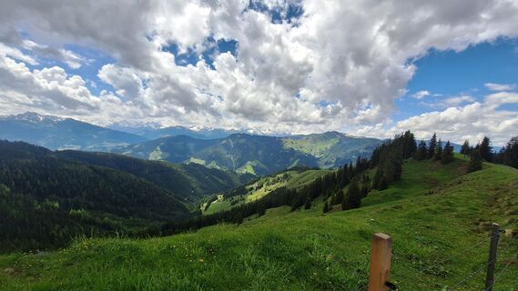
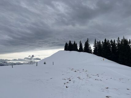
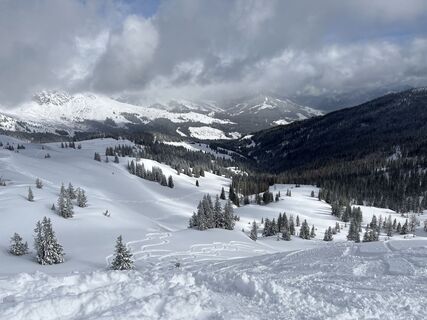
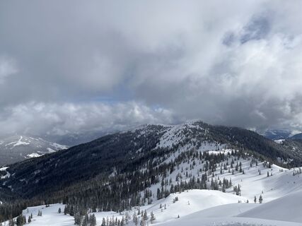
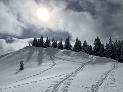
From the village of Dienten, you hike over the Bürglalm and further over quiet alpine meadows to the Schneeberg up to the Gamskögerl. Then you return a short distance on the same path to the junction towards...
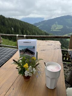
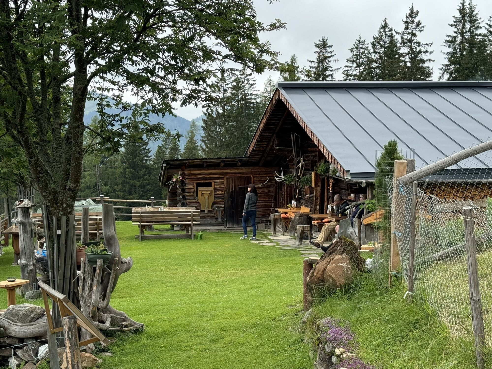
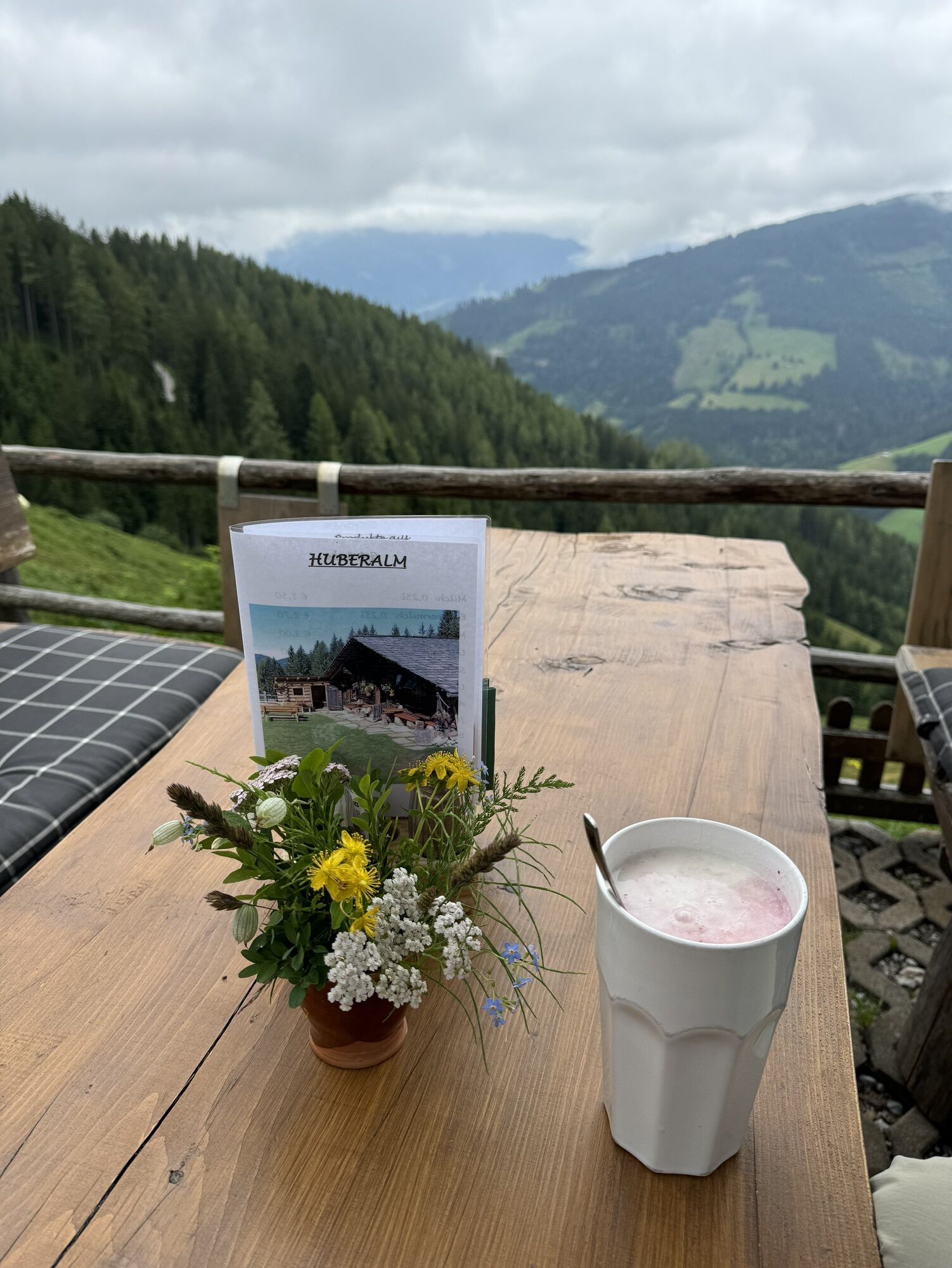
From the village of Dienten, you hike over the Bürglalm and further over quiet alpine meadows to the Schneeberg up to the Gamskögerl. Then you return a short distance on the same path to the junction towards Moaralm and continue to the Huberalm. From there you follow the descent along the forest road into the valley, where you take the hiking bus back to the village of Dienten.

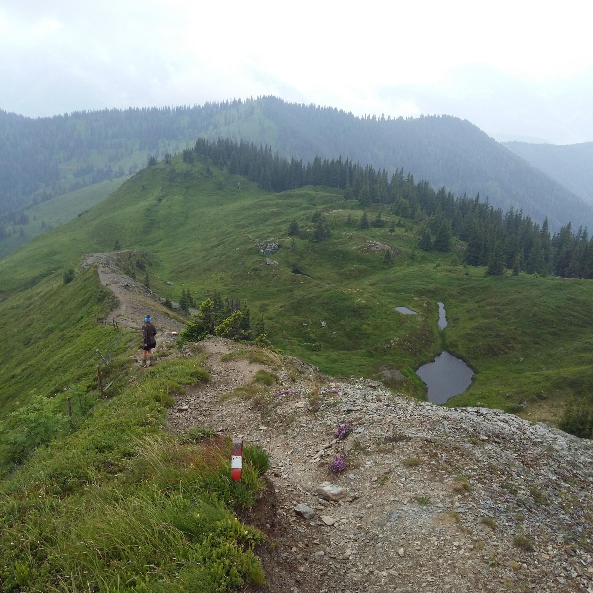
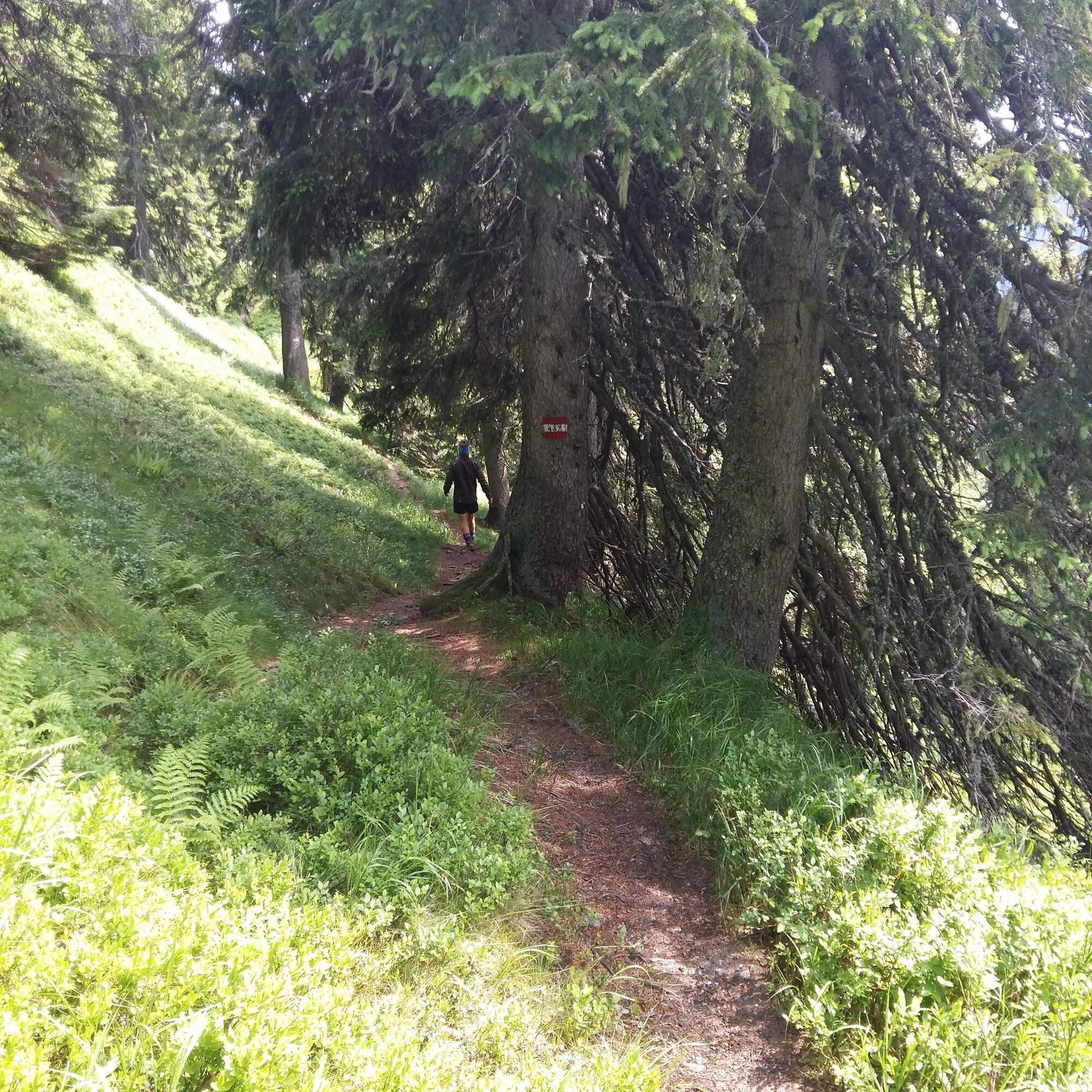
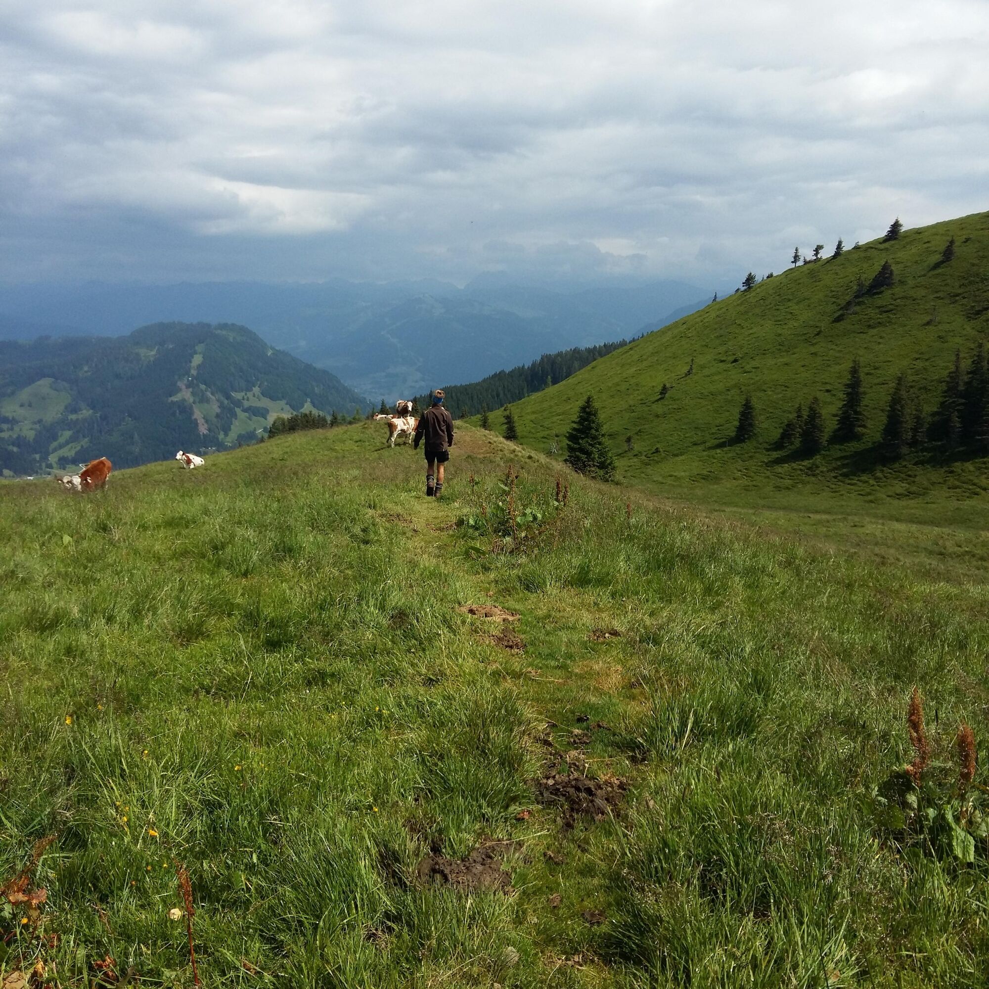
We park the car in the village of Dienten at the ski center (H8) near the Bürglalmbahn. From the village of Dienten over the Bürglalm (trail no. 15) and further over quiet alpine meadows via the Schneeberg to the Gamskögerl. Then back a bit on the same path (no. 447) to the junction towards Moaralm (trail no. 57) to the Huberalm (trail no. 56/50). From there you follow the forest road (no. 60) down into the valley, where we take the hiking bus back to the village of Dienten.
You can also return on foot to the village via the Erlenweg. (+ approx. 3 km / approx. ½ hour longer walking time)
Igen
Igen
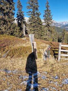
Sturdy, ankle-high footwear
Hiking poles
Headwear
Sunscreen
Sunglasses
Rain protection
Drinks and a small snack
Necessary medications
First aid kit
Hiking map
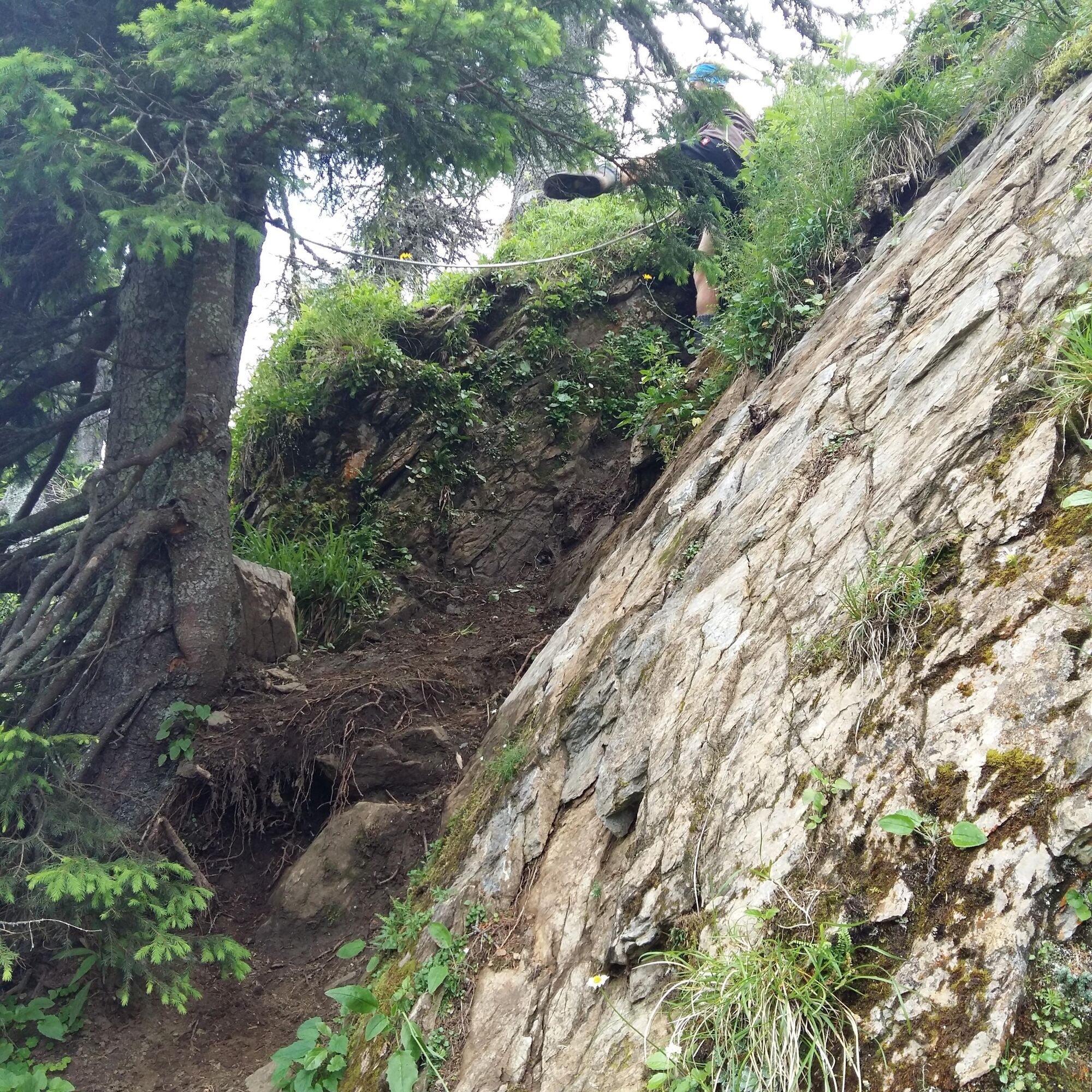
Self-assessment: Before every mountain tour, check your physical fitness and correctly assess your strength and that of your companions – especially your children! Sure-footedness and a head for heights are often very important!
Planning and preparation: Plan every intended mountain tour carefully beforehand. Hiking maps and guides, as well as information from alpine clubs and locals such as mountain guides and hut keepers, can be helpful.
Equipment: On the mountain, you need appropriate equipment and clothing, especially sturdy, high footwear with a grippy sole. Weather and cold protection are essential; the weather can often change surprisingly quickly.
Weather forecasts: Check the current weather conditions at: zamg.at or www.uwz.at.
Interaction: Observe the 10 rules for proper conduct with grazing animals and leave no litter in nature!
Do not dislodge stones: Do not dislodge stones as this could seriously endanger other hikers. Marked areas with danger of rockfall should be crossed as quickly and attentively as possible with caution.
Turn back in time: This is not a shame but a sign of common sense. It will be necessary if the weather changes, fog sets in, or if the path is too difficult or not in good condition.
Emergency numbers: Alpine emergency: 140, International emergency: 112, Rescue: 144
Arrival from Salzburg: Take the A10 motorway to the Bischofshofen exit, then follow the B311 towards Bischofshofen. Follow the Hochkönig federal road/B164 to Mühlbach and further to Dienten.
Arrival from Innsbruck/Kufstein: Take the Lofer road/B178 towards St. Johann i.T., then via the Hochkönig federal road/B164 through Saalfelden and Maria Alm to Dienten or to the Filzensattel.
A valid vignette is required to use the Austrian motorway and expressway network. It is also mandatory to carry a first aid kit, warning triangle, and safety vest. More information at Asfinag.
ÖBB-Scotty: Schedule information
Bus line 620: Schedule information
Bus line 631: Schedule information
Hiking bus: Schedule information
Free parking available at the Dienten ski center.
More information about hikes and activities in the Hochkönig region:
For detailed information about hiking maps, the opening hours of mountain lifts, and huts and alpine pastures in summer, we recommend visiting the service center on-site. There you will not only receive the hiking map but also valuable tips on the best hiking routes and current conditions.
Summer mountain lift opening hours: The mountain lifts offer different opening hours during the summer months, which can vary depending on weather and season. Please check the current operating times in advance.
Hut and alpine pasture opening hours in summer: The huts and alpine pastures in the region are ideal rest stops for hikers. Opening hours can also vary depending on the season and day of the week. Let the friendly hosts advise you about the offerings and specialties on site.
For more information, please visit our website: www.hochkoenig.at.
If you have questions or want to receive specific information, feel free to contact us:
Email: region@hochkoenig.at
Phone: +43 (0)6584 20388
We look forward to helping you and wish you lots of fun exploring the beautiful hiking region Hochkönig!
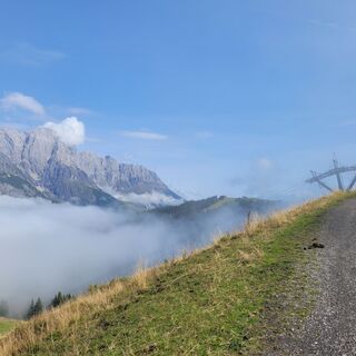
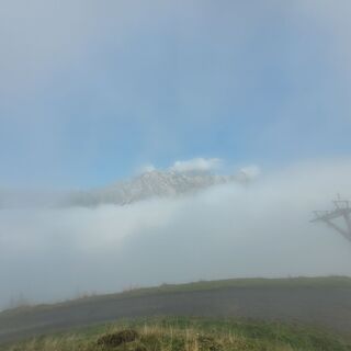
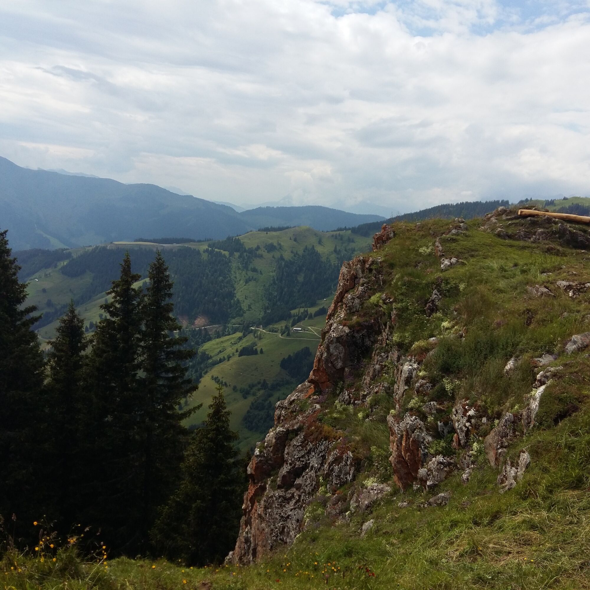
The Gamskögerl is a beautiful viewpoint.
A túra webkamerái
-
Mühlbach am Hochkönig
-
Maria Alm - Hochmaisbahn
-
Mühlbach am Hochkönig
-
Bergstation Kings Cab
-
Golfplatz Goldegg
-
Golfplatz Goldegg
-
Grünegg Alm & Edelbrennerei
-
Dienten - Übergossene Alm Resort
-
Dienten - Almsee
-
Dienten - Übergossene Alm Resort
-
Bergstation Kings Cab
-
Bergstation Kings Cab
-
Bergstation Kings Cab
-
Bergstation Kings Cab
-
Bergstation Kings Cab
-
Bergstation Kings Cab
-
Bergstation Kings Cab
Népszerű túrák a környéken
-
4,8
Summit storming route Taghaube
nehézKirándulás 6,25 km -
4,9
Hochkönig - Gipfel der Gefühle - Matrashaus
nehézKirándulás 20,9 km -
3,8
Hochkönig summit route - main ascent
nehézKirándulás 18,1 km -
4,7
Panorama hike to the Hochkeil
közepesKirándulás 6,07 km -
4,8
Summit stormer route Lauskopf
nehézKirándulás 8,16 km -
3,6
Wanderung zur Ostpreußenhütte in Werfen (1.630 m)
közepesKirándulás 11,2 km -
4,7
About the "Four Huts circular route" to Windraucheggalm
közepesKirándulás 10,1 km -
3,7
Auf die Ostpreussenhütte
közepesKirándulás 16,6 km -
4,4
Riemannhaus
nehézKirándulás 3,69 km -
3,9
Mühlbacher Höhenweg
közepesKirándulás 11,2 km
Túrázás & nyomkövetés


Ne maradjon le az ajánlatokról és az inspirációról a következő nyaralásához!
Az Ön e-mail címe hozzá lett adva a levelezőlistához.