


Summit stormer route Schwalbenwand


Fotók felhasználóinkról
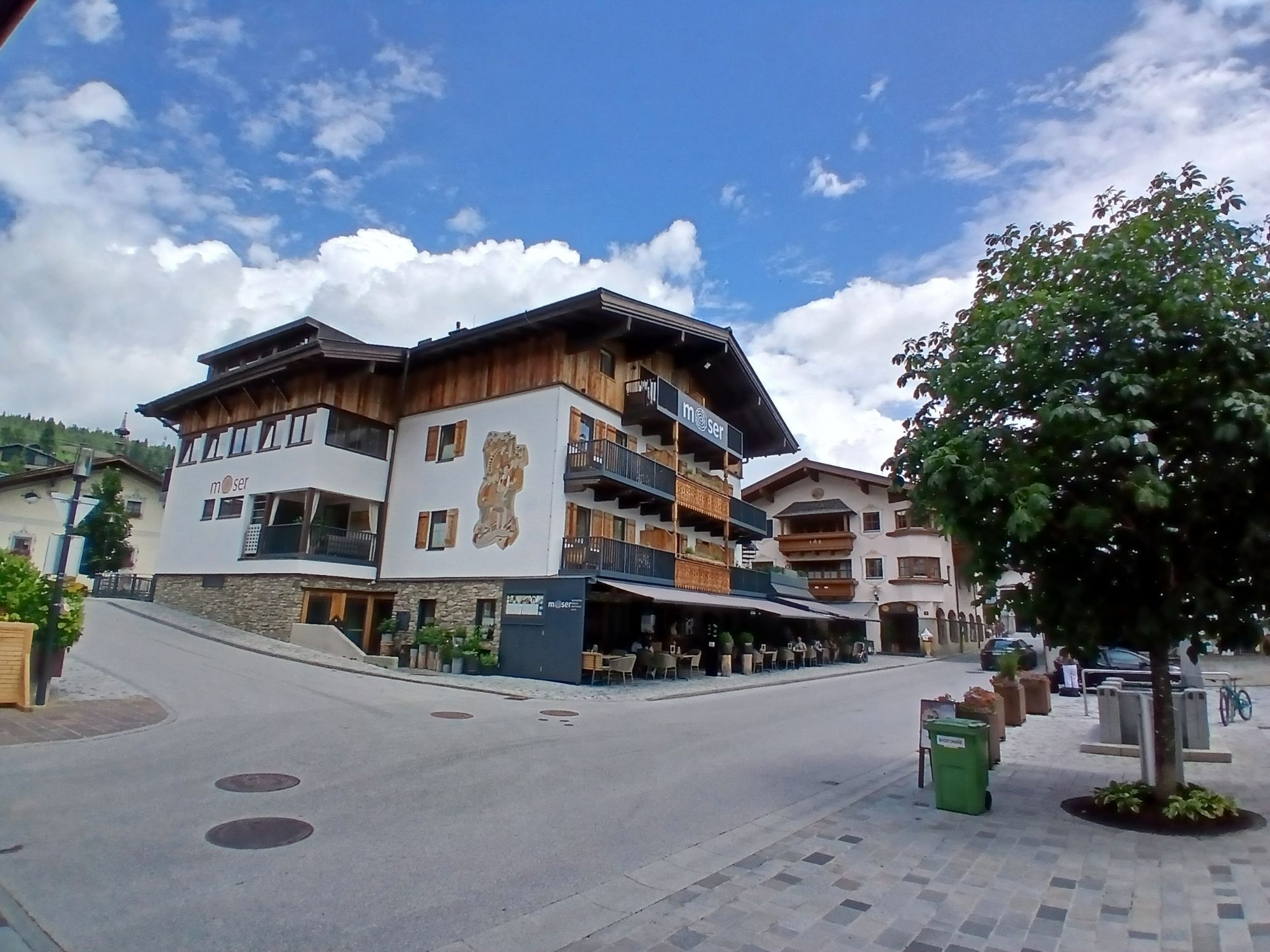

Your hike starts in the village center, where you set off towards Saalfelden. Cross the bridge and follow the path along the Urslau. After about 10 minutes, you will find a bridge on your left over which...
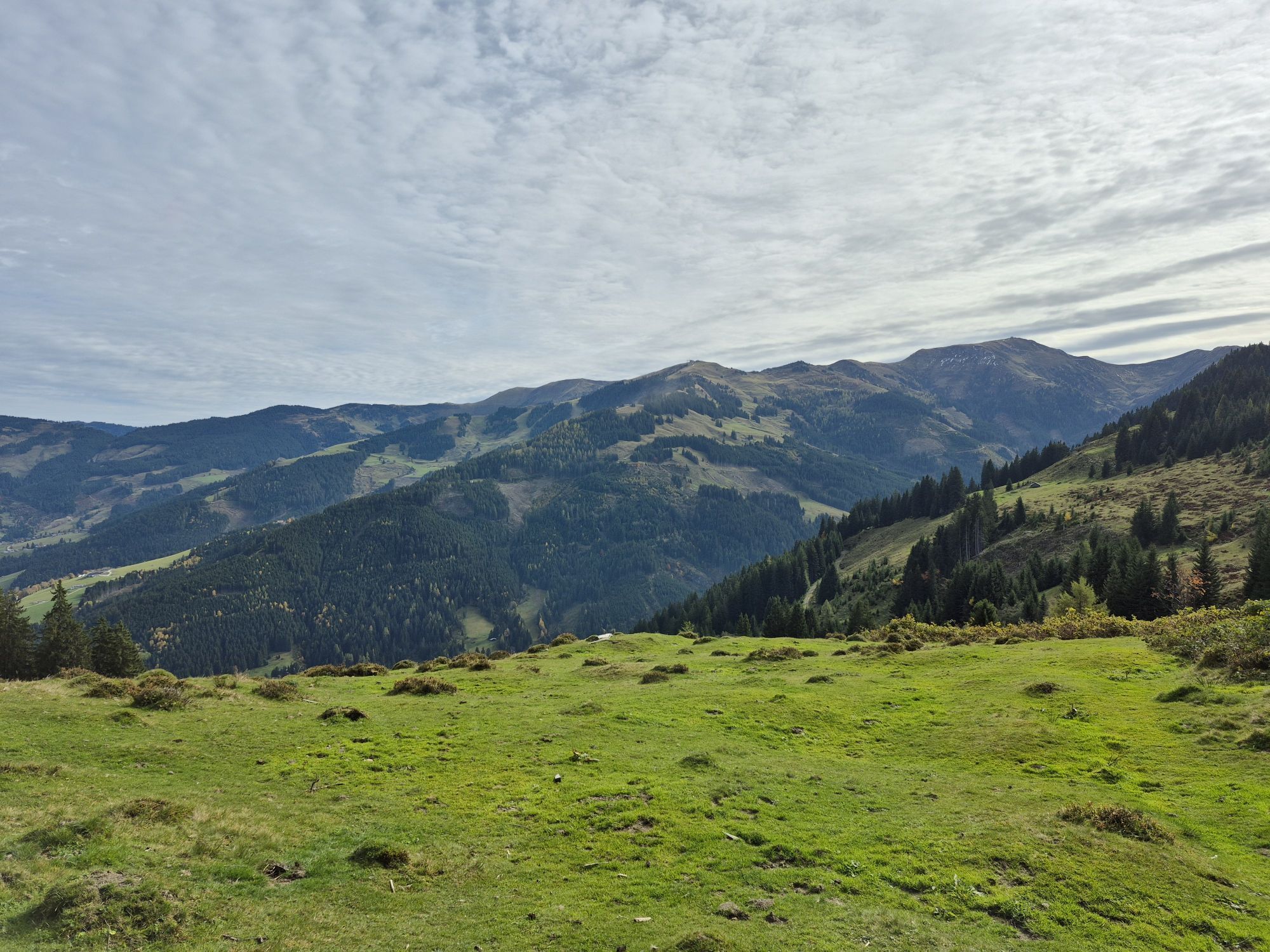
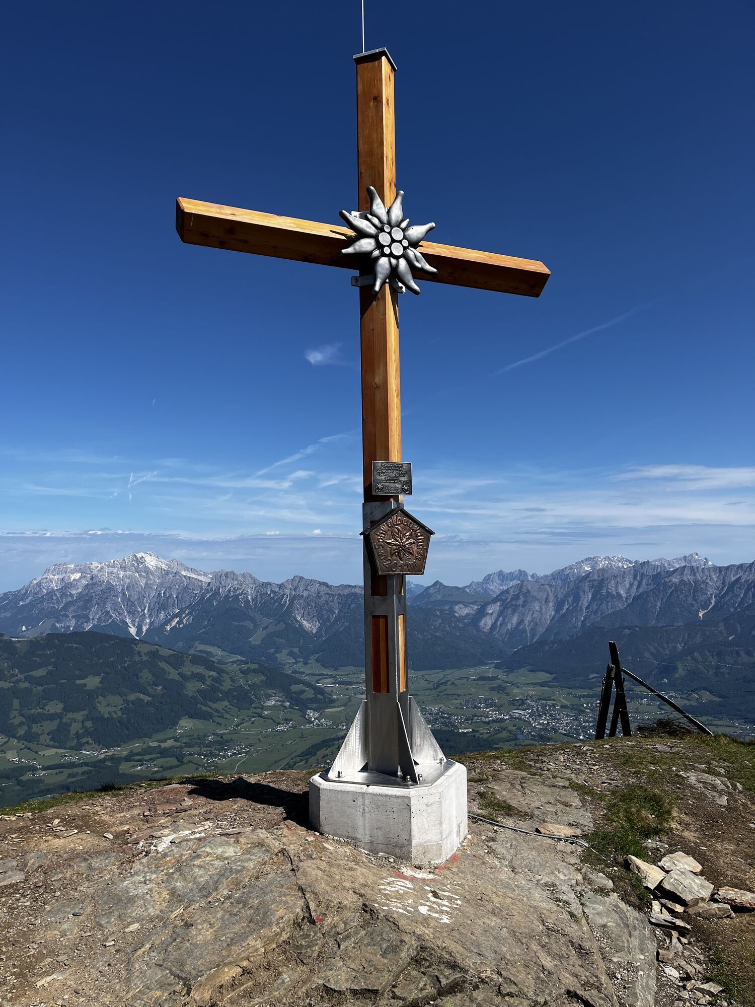
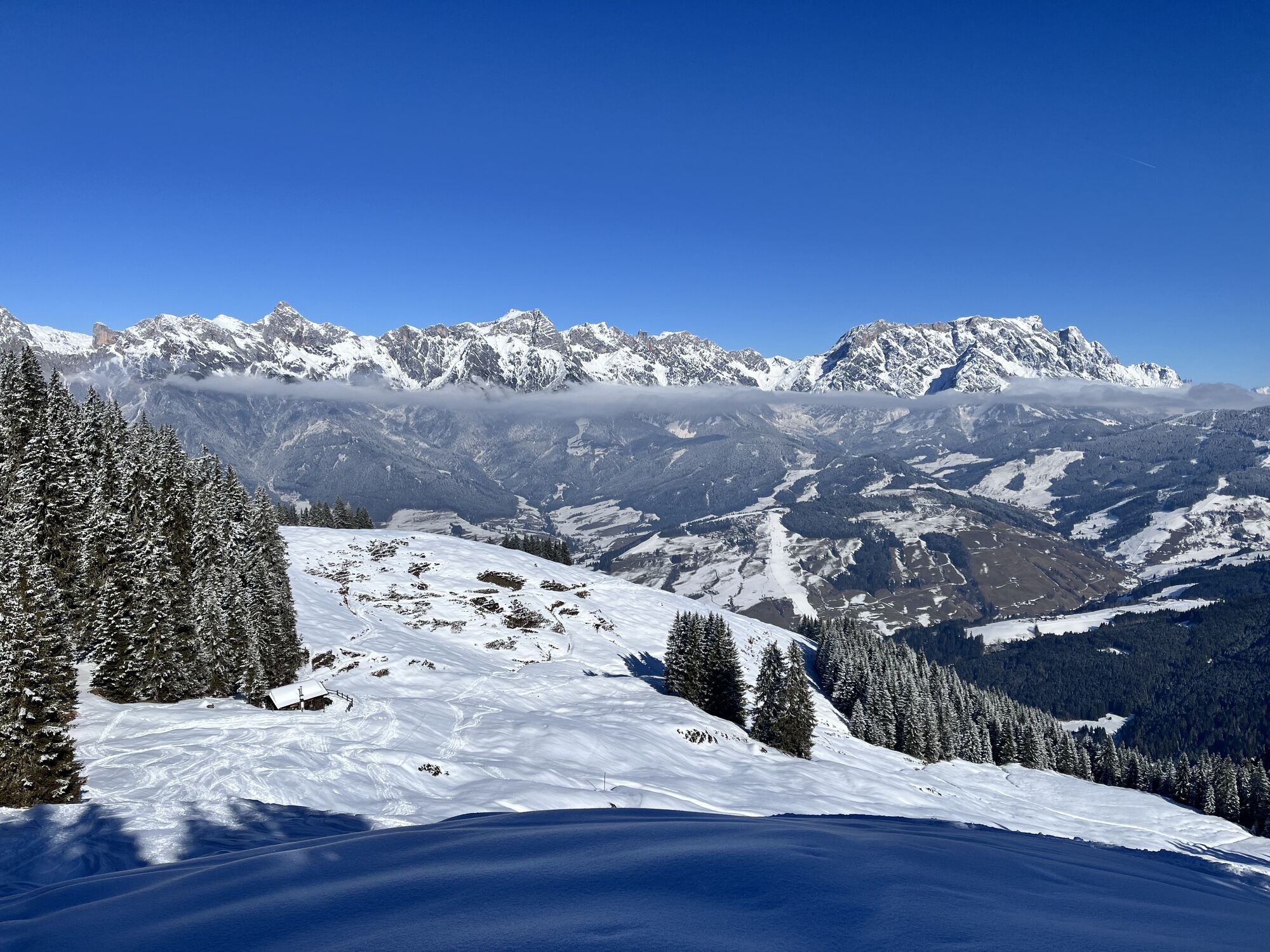
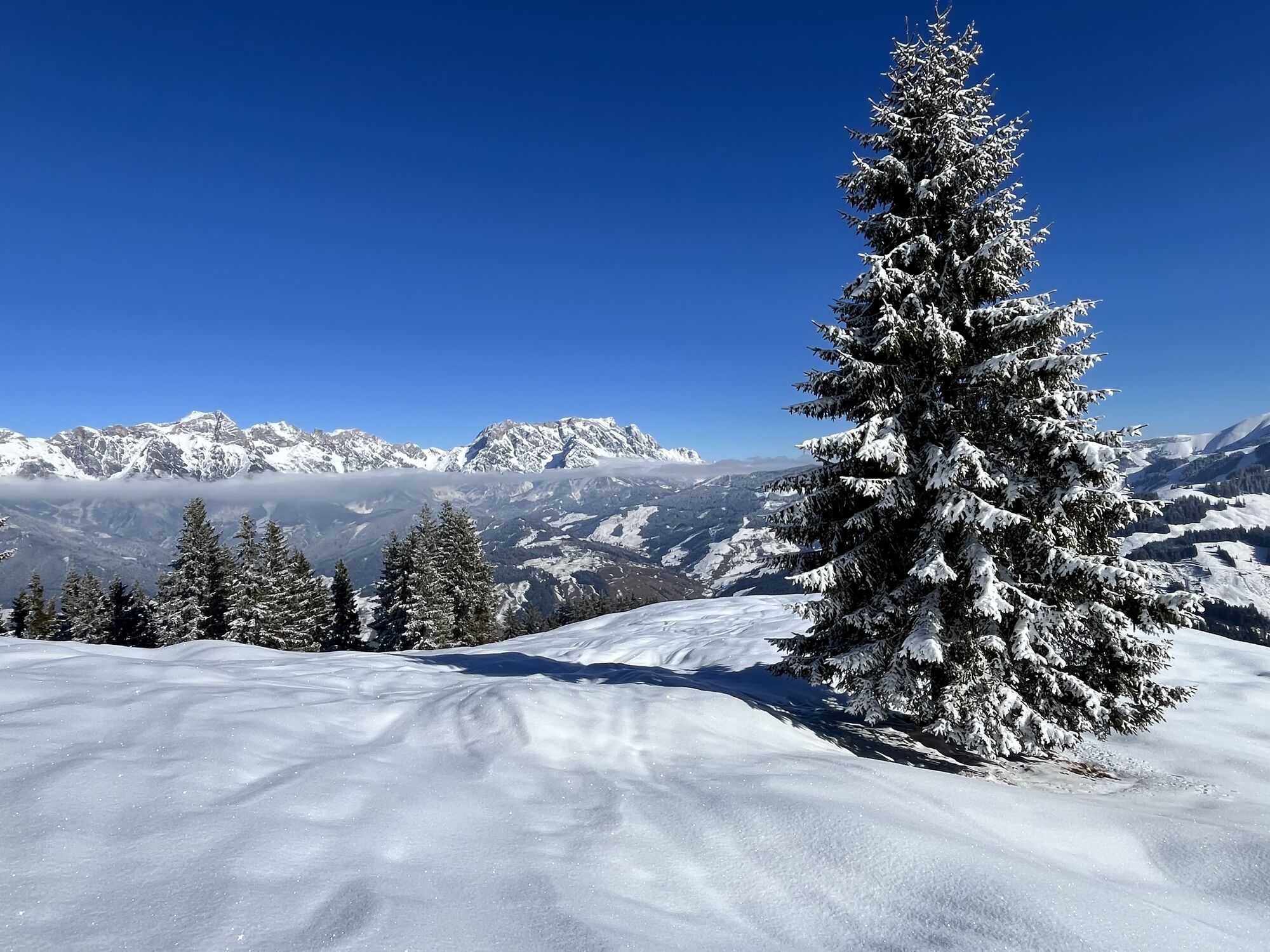
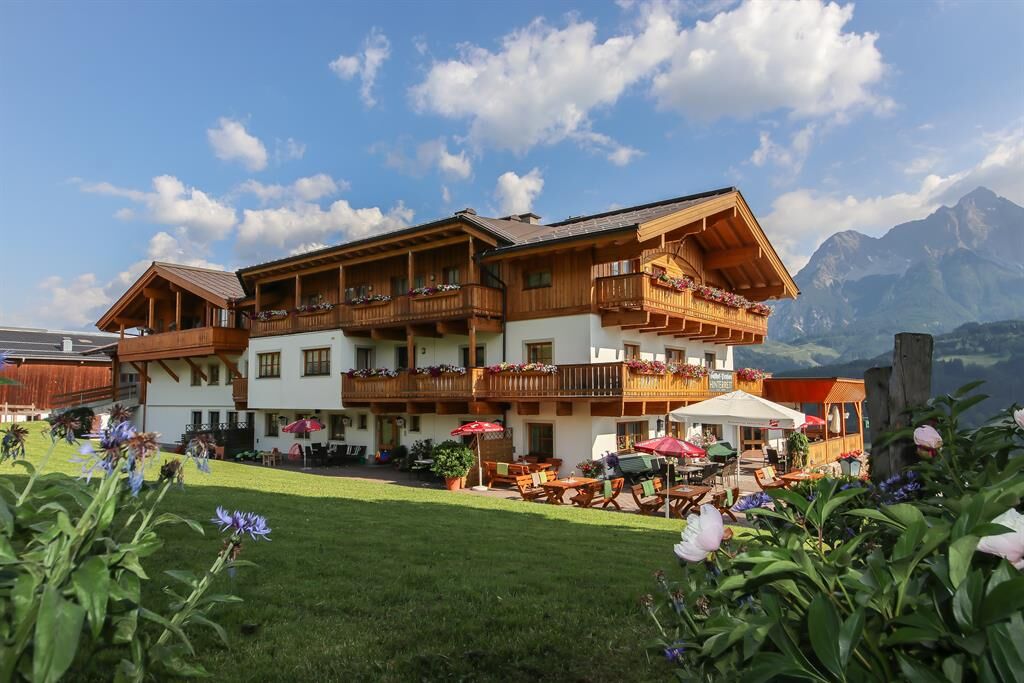
Your hike starts in the village center, where you set off towards Saalfelden. Cross the bridge and follow the path along the Urslau. After about 10 minutes, you will find a bridge on your left over which you cross the Urslau. Now continue over the Hochkönig federal road. The ascent to the Gasthof Hinterreit is next on the agenda. Here you can enjoy your first efforts in the magnificent nature. Keep your eyes open for the breathtaking scenery around you! When you arrive at Gasthof Hinterreit, you have the opportunity to take a short break and refresh yourself with a small snack. From there, the path leads further over Hofer Plattl to the Schwalbenwand, which towers at 2011 m elevation. The ascent is steep and requires your full concentration, but the view that awaits you is worth every effort! Once you reach the summit, you will be rewarded with a panoramic view of the impressive mountain world. Take your time to enjoy the beauty of nature and maybe take a few photos. Variante to Hundstein: If you want to experience more adventure, you can consider an extension to Hundstein. This additional route takes about 2 hours and leads you over a magnificent high-altitude path. The view is spectacular, and you will fully enjoy the unspoiled nature. The descent is either via the same route you came or you choose the descent via Aberg to Maria Alm, which takes another 4 hours. This variant offers you a new perspective on the landscape and is a great way to extend your hike. Whatever route you choose, remember to absorb the beauty of nature and enjoy the challenge of this tour. Have fun hiking to Schwalbenwand and beyond!

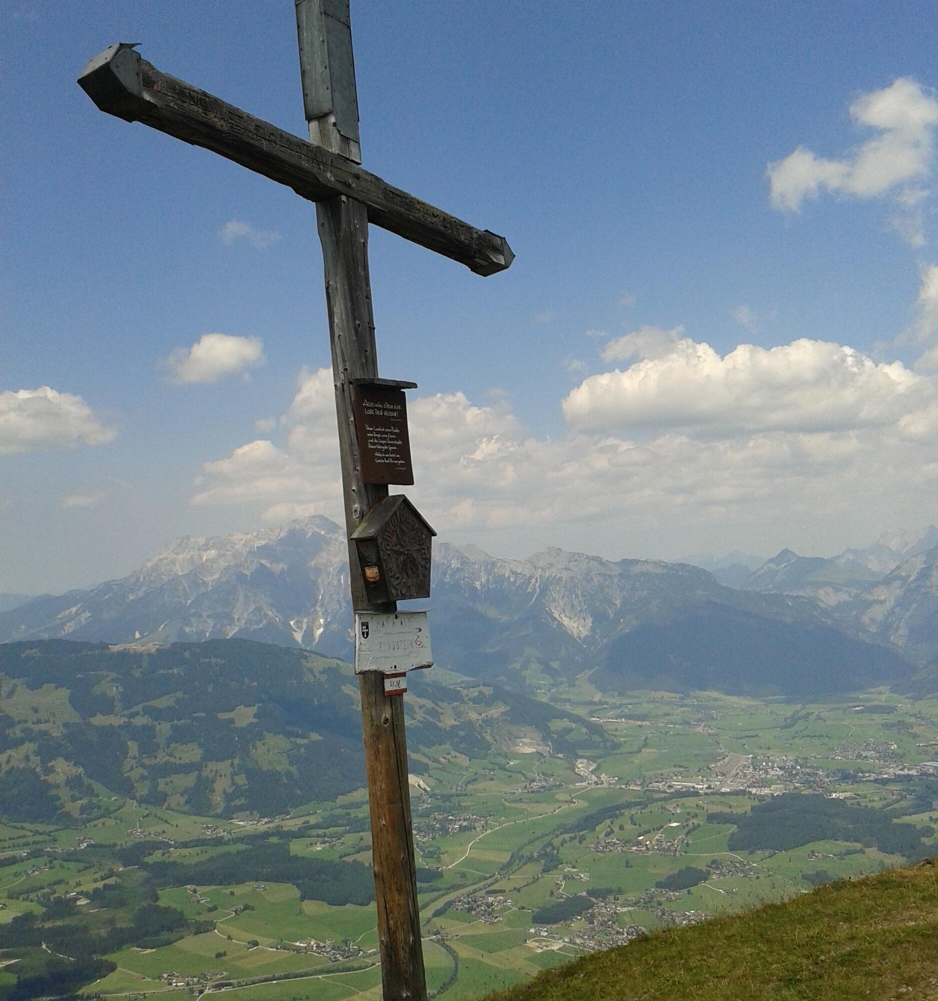
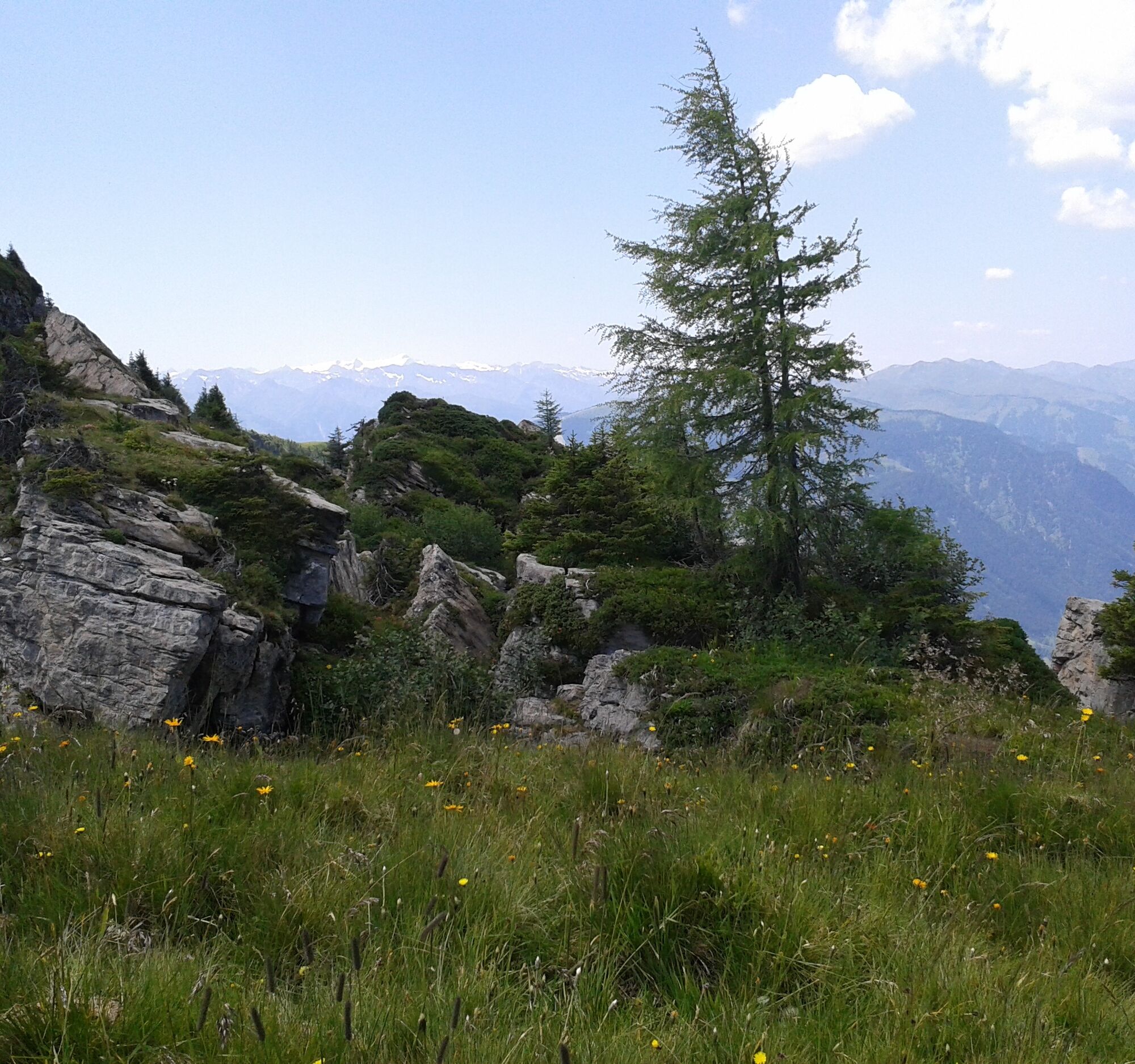
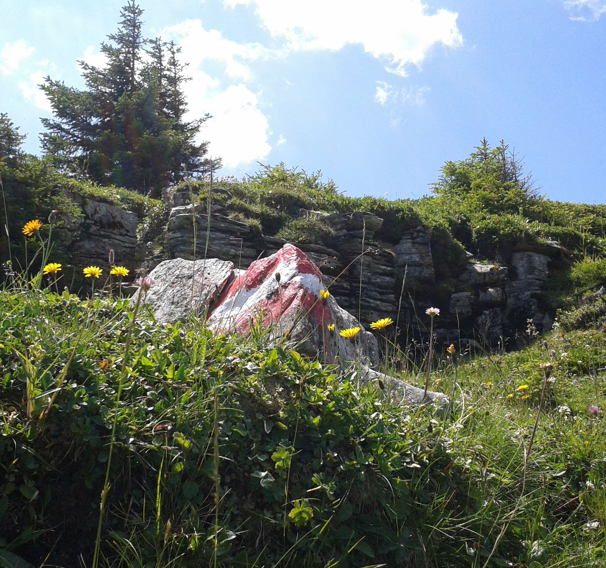
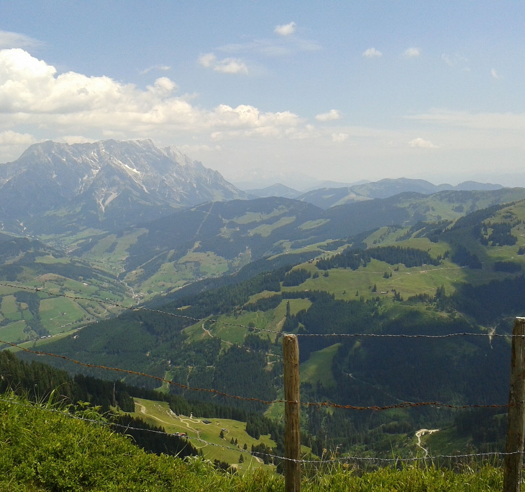
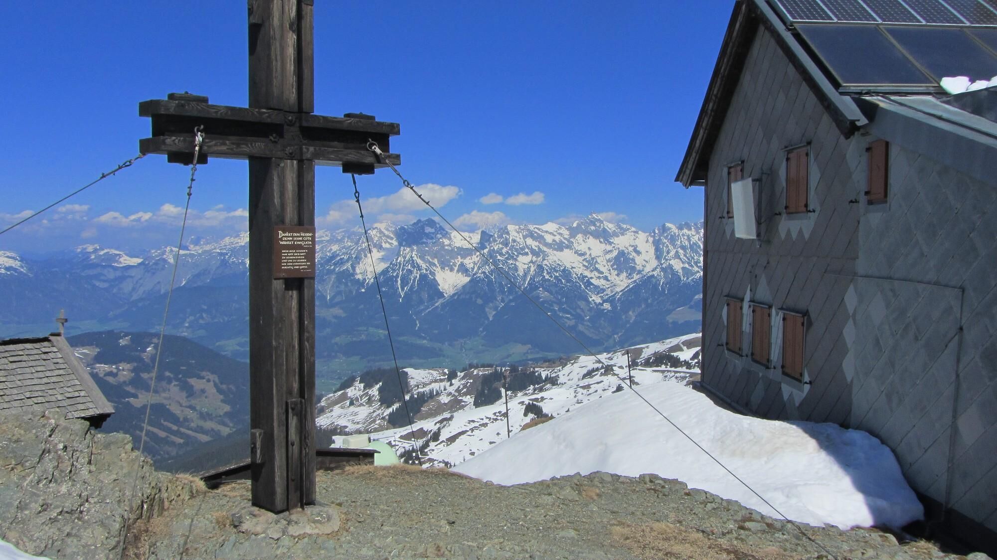
From the village center (D6) head in the direction crossing the Griesbach and then follow Bachstraße along path no. 11 towards Saalfelden along the Urslau. After a short distance, cross the Urslau and the Hochkönig federal road. Now follow the cart path 446 towards Hinterreit. Shortly on the access road, pass the inn and continue on forest path no. 446. The forest path leads past the hunting hut until shortly before Hofer Plattl. Afterwards, a trail continues up to the Schwalbenwand at an elevation of 2011 m. Extension to Hundstein is possible, another 2 hours (a magnificent high-altitude path) and descent over Aberg to Maria Alm - another 4 hours. Otherwise, the descent is the same as the ascent. Refreshments possible at the Gasthof Hinterreit.
Igen
Igen
Igen
Sturdy, ankle-high footwear
Hiking poles
Headgear
Sunscreen
Sunglasses
Rain protection
Drinks and a small snack
Necessary medications
First aid kit
Hiking map
Self-assessment: Before each mountain tour, check your physical fitness and assess your strength as well as that of your companions – especially your children! Surefootedness and a head for heights are often very important!
Planning and preparation: Plan every intended mountain tour carefully beforehand. Hiking maps and guides as well as information from alpine clubs and locals such as mountain guides and hut hosts can be helpful.
Equipment: In the mountains, you need appropriate equipment and clothing, especially sturdy, high shoes with grippy soles. Weather and cold protection are indispensable; the weather can often change suddenly.
Weather forecasts: Observe current weather conditions at: zamg.at or www.uwz.at.
Togetherness: Observe the 10 rules for proper interactions with grazing animals and leave no waste in nature!
Do not dislodge stones: Do not dislodge stones, as this can seriously endanger other hikers. Marked areas with rockfall hazards should be crossed as quickly as possible with attention and caution.
Turn back in time: This is no shame but a sign of prudence. It becomes necessary when the weather changes, fog descends, or if the path is too difficult or not in good condition.
Emergency numbers: Alpine emergency: 140, International emergency: 112, Rescue: 144
Arrival from Salzburg: Take motorway A10 to the Bischofshofen exit, then B311 direction Bischofshofen. Follow Hochkönig federal road/B164 to Maria Alm.
Arrival from Innsbruck/Kufstein: Take Loferer Straße/B178 towards St. Johann i.T., then over Hochkönig federal road/B164 via Saalfelden to Maria Alm.
A valid vignette is required for using the Austrian motorway and expressway network. Also, it is mandatory to carry a first aid kit, warning triangle, and safety vest. More info at Asfinag.
ÖBB-Scotty: timetable information
Bus line 620: timetable information
Hiking bus: timetable information
Free parking at the beginning of the village of Maria Alm and in the village center.
More information about hikes and activities in the Hochkönig region:
For detailed information on hiking maps, opening times of the mountain lifts as well as huts and alpine pastures in summer, we recommend visiting the local service center. There you will not only get the hiking map but also valuable tips on the best hiking routes and current conditions.
Opening times of the mountain lifts in summer: The mountain lifts offer various opening hours during the summer months, which can vary depending on the weather conditions and season. Please inform yourself in advance about the current operating hours.
Opening times of huts & alpine pastures in summer: The huts and alpine pastures in the region are ideal rest stops for hikers. Here too, opening times can vary depending on the season and day of the week. Let the friendly hosts advise you about the offerings and specialties on-site.
For more information please visit our website: www.hochkoenig.at.
If you have questions or want specific information, feel free to contact us:
Email: region@hochkoenig.at
Phone: +43 (0)6584 20388
We look forward to helping you and wish you lots of fun exploring the beautiful Hochkönig hiking region!
The walking times are approximate and do not include breaks. Every hiker has their own walking pace.
Népszerű túrák a környéken
-
4,8
Summit storming route Taghaube
nehézKirándulás 6,25 km -
4,8
Summit stormer route Lauskopf
nehézKirándulás 8,16 km -
4,4
Riemannhaus
nehézKirándulás 3,69 km -
4,5
Birnbachloch Leogang, Österreich
közepesKirándulás 5,18 km -
4,3
Peter-Wiechenthaler Hut
közepesKirándulás 4,32 km -
3,0
Alpine hike to Erichhütte
könnyűKirándulás 4,02 km -
4,1
Passauer Hütte
nehézKirándulás 4,14 km -
4,3
Bruck: 732+736+730 | Drei Brüder
nehézKirándulás 16,1 km -
3,9
Persailhorn South via ferrata
közepesVia ferrata 6,83 km -
4,9
Breithorn
közepesKirándulás 10,0 km

Túrázás & nyomkövetés


Ne maradjon le az ajánlatokról és az inspirációról a következő nyaralásához!
Az Ön e-mail címe hozzá lett adva a levelezőlistához.