


Maggia-Someo-Maggia
Nehézségi szint: T1


Fotók felhasználóinkról
-

 © Bruno GrossmannLétrehozta a 04.10.2022
 -
 © anastasia bergugliaLétrehozta a 24.10.2025
 -
 © anastasia bergugliaLétrehozta a 24.10.2025
 -
 © anastasia bergugliaLétrehozta a 02.09.2025
 -
 © anastasia bergugliaLétrehozta a 02.09.2025
 -
 © anastasia bergugliaLétrehozta a 30.08.2025
 -
 © anastasia bergugliaLétrehozta a 30.08.2025
 -
 © Bruno GrossmannLétrehozta a 04.10.2022

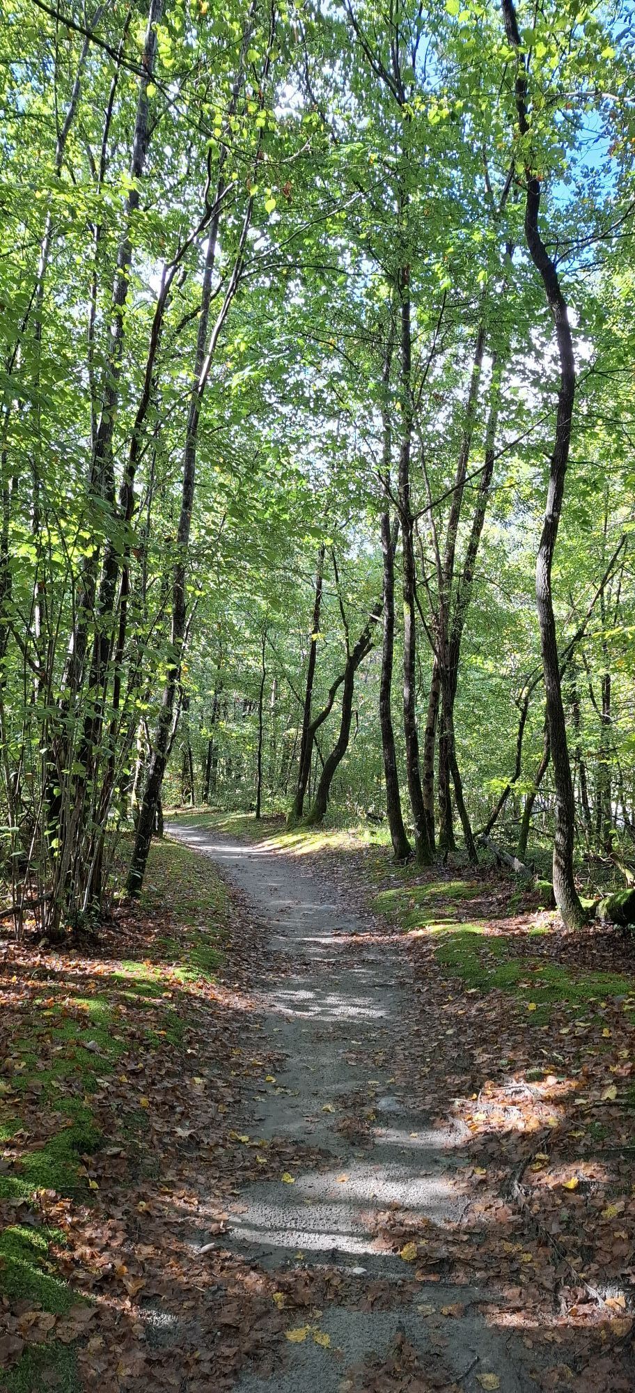
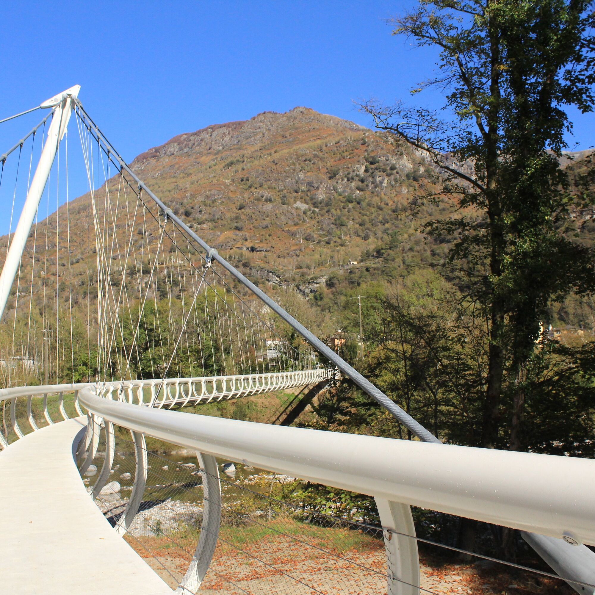
At Maggia, descend to the eponymous river beyond the suspension bridge. Immediately to the right, follow the drivable road uphill to Pii, where you take an elevated hiking trail.
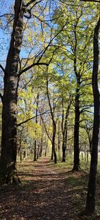
In the chestnut grove,...
At Maggia, descend to the eponymous river beyond the suspension bridge. Immediately to the right, follow the drivable road uphill to Pii, where you take an elevated hiking trail.
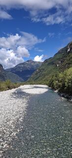
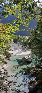
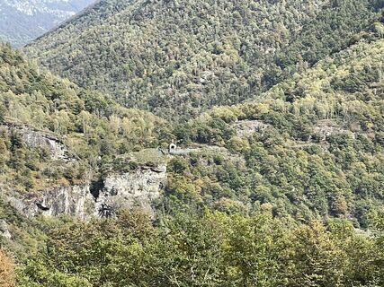
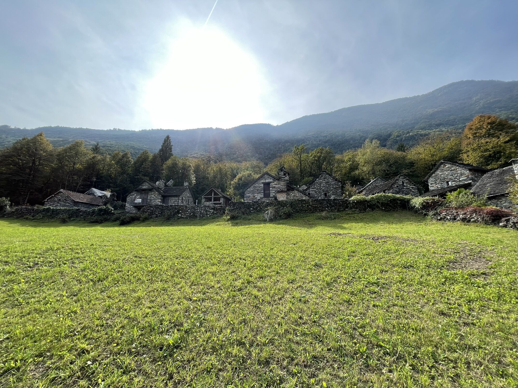
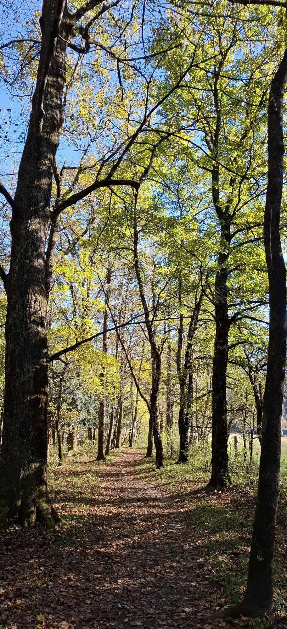
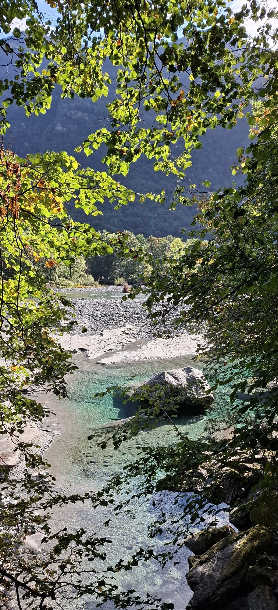
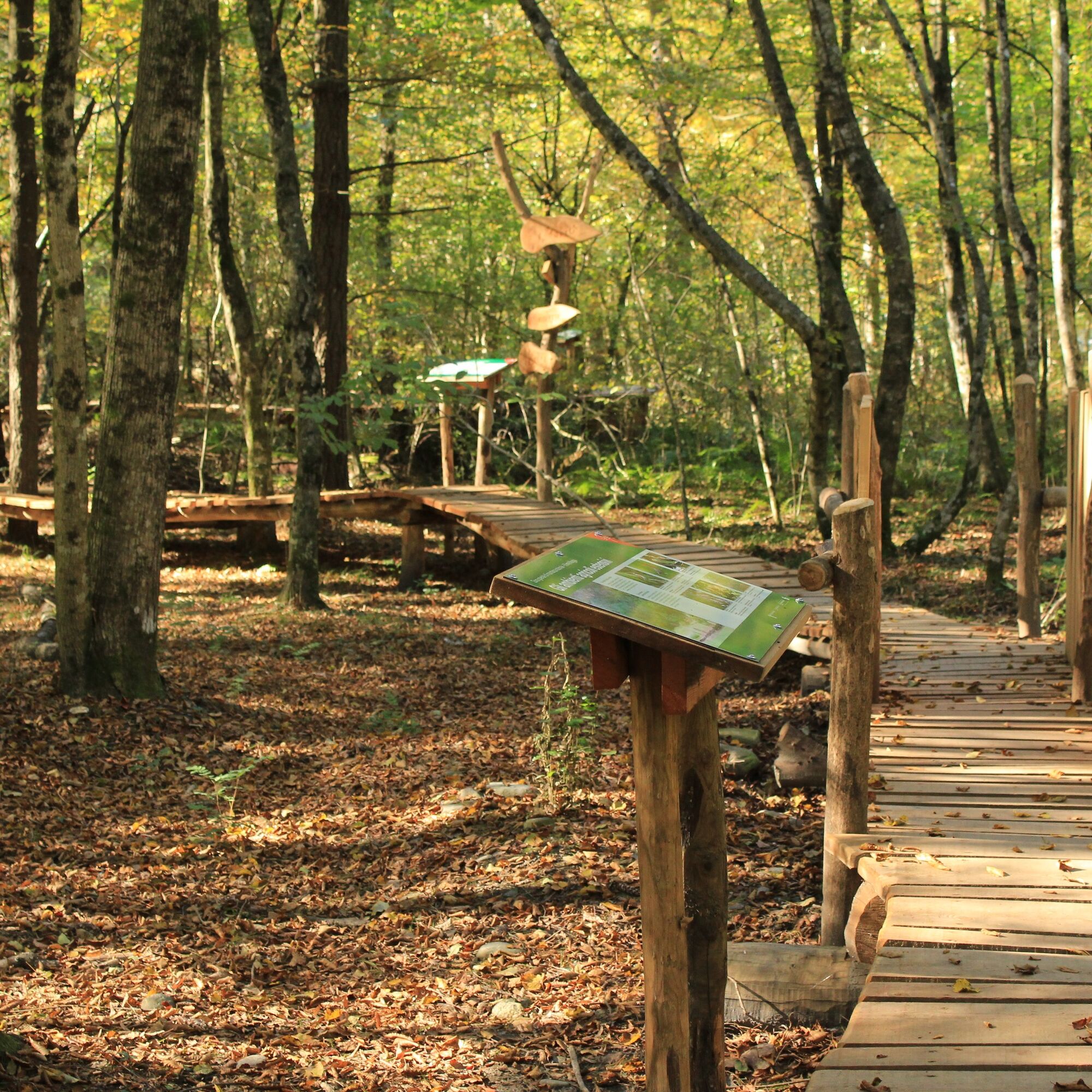
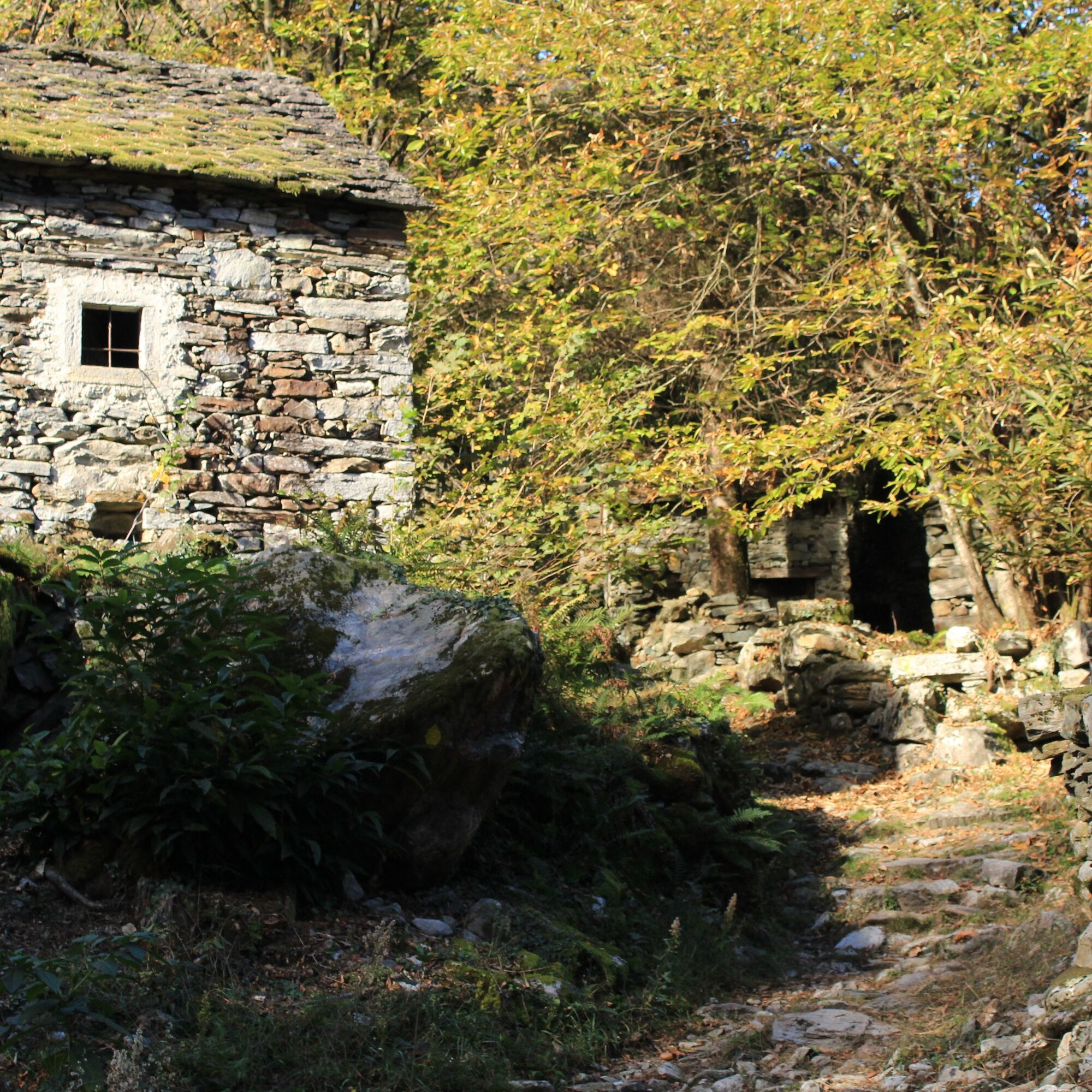
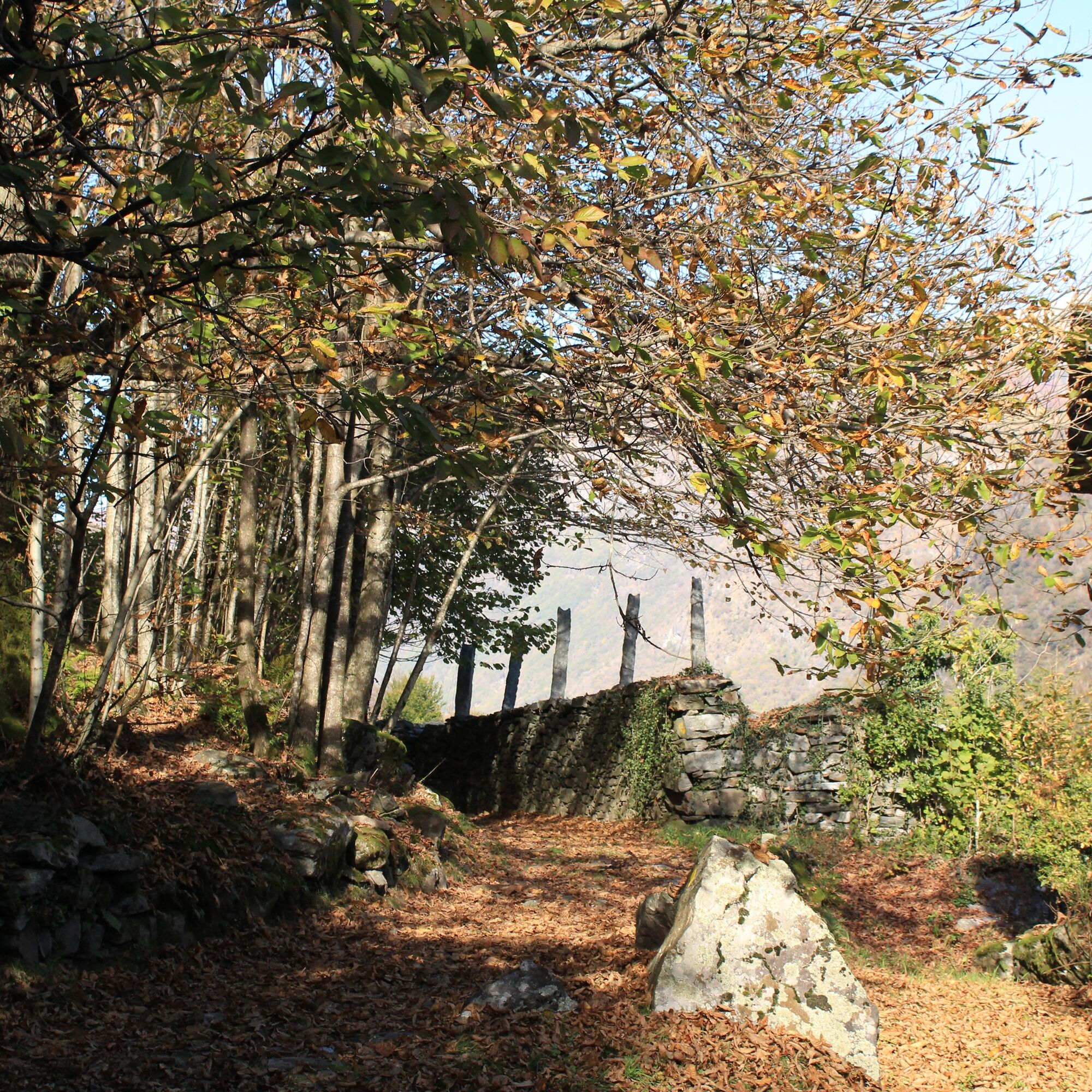
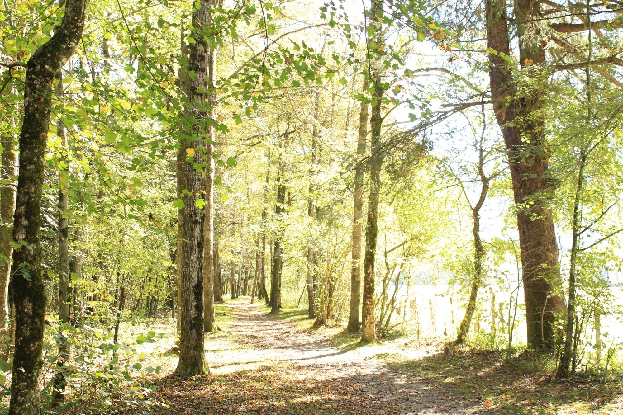
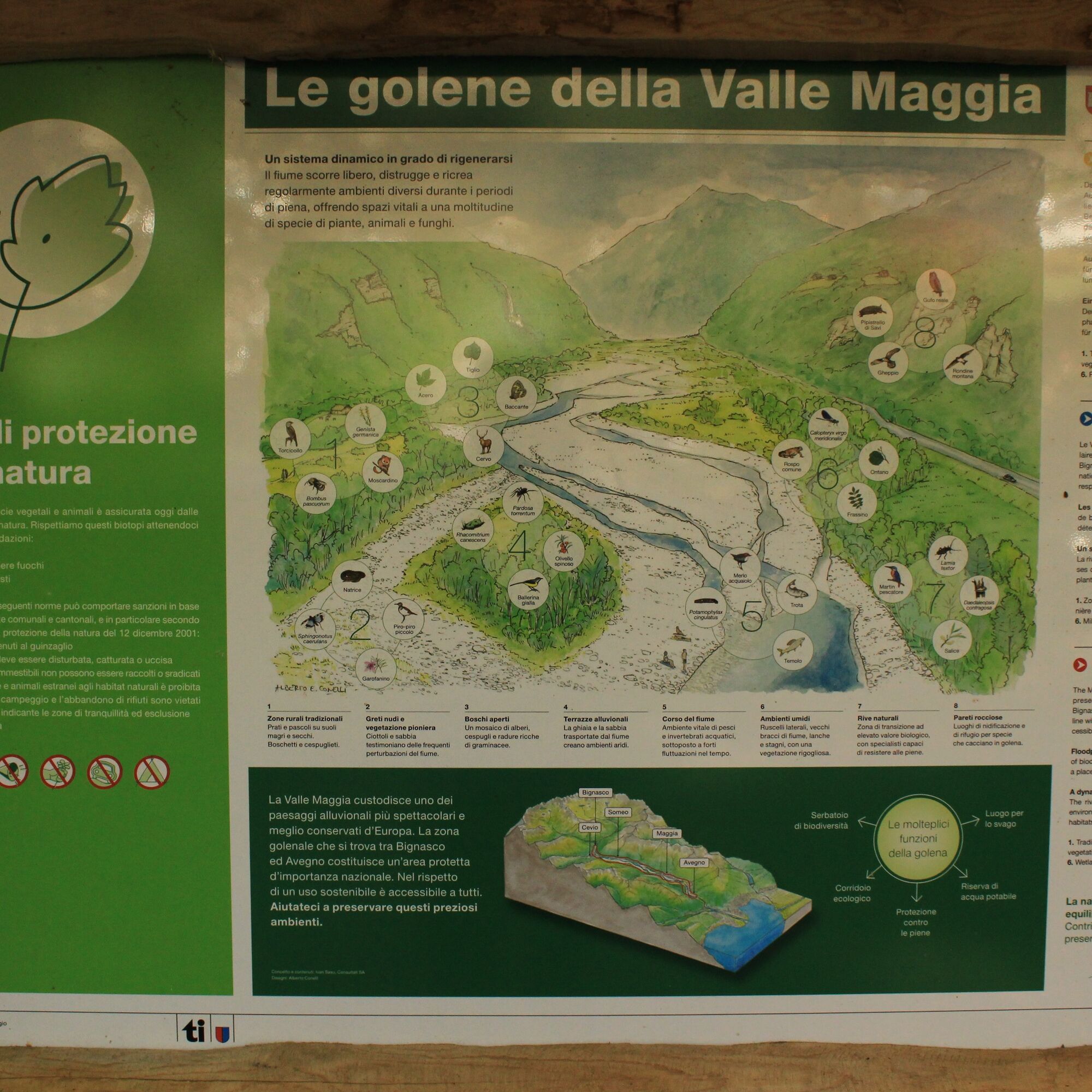
In the chestnut grove, you encounter rustic houses amid short up and downs to Lodano, on the paved road and then through vineyards to the river. On the trail near the river, you pass a first pedestrian crossing (Giumaglio) and then a second leading to Someo, after which you turn right into the forest. Here is a wooden footbridge with informational panels about the floodplain landscape along the riverbank, including a grilling station with tables and benches.
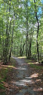
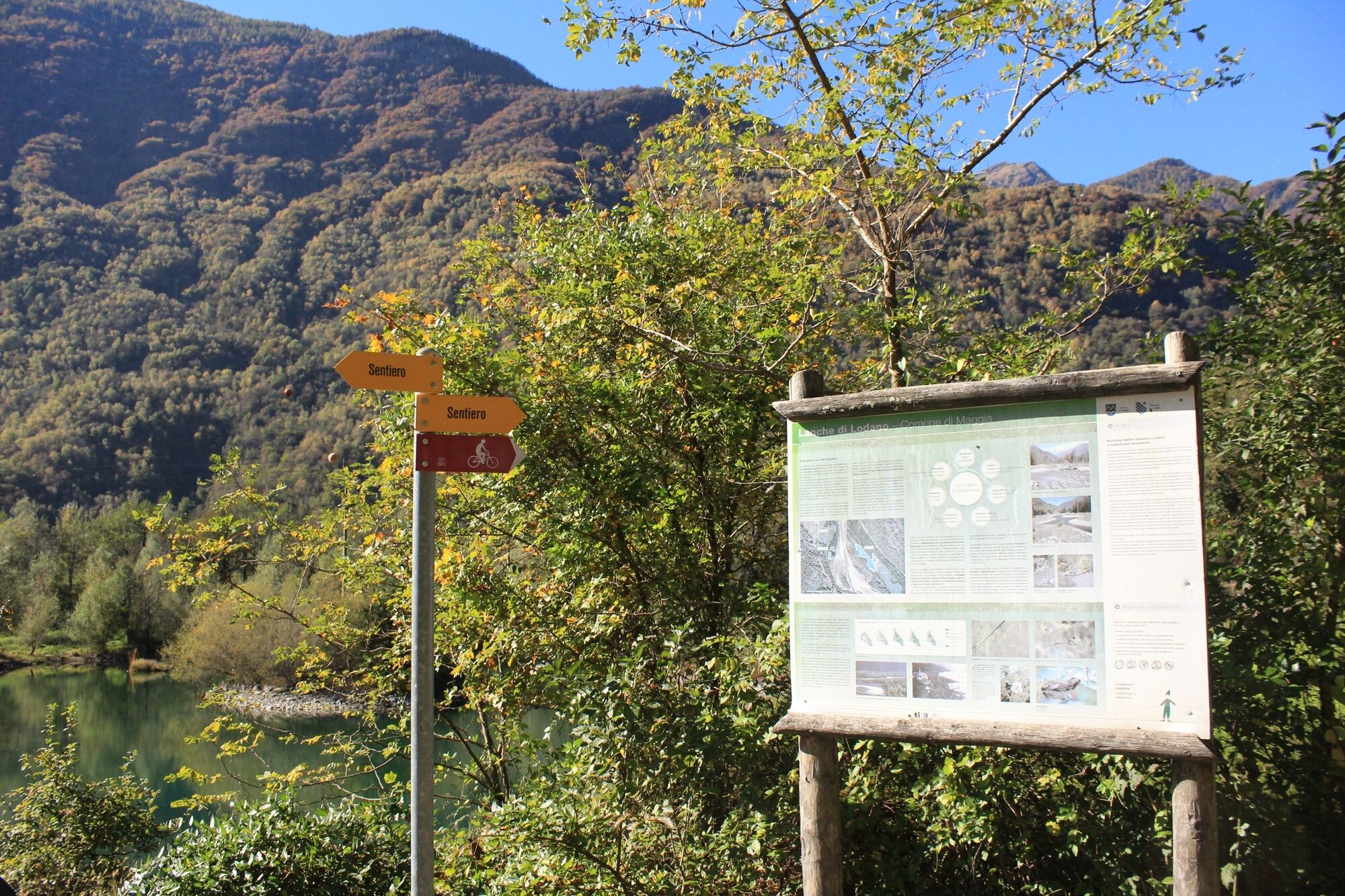
From Someo, the road winds through the villages of Giumaglio and Coglio to Lodano (only partly a hiking trail). At the start of the bridge, take the trail on the left to Maggia through the forest and the protected nature reserve (check the schedule to and from Maggia). It is already possible to return by bus from Someo.
Podcast "La Vallemaggia"

Maggia-Moghegno-Lairé-Al Tórn-Lodano-Ronchin-A Dalòvi ad Fòra-Someo-Giumaglio-Maggia
Igen
Igen
Hiking backpack (approx. 20 liters) with rain cover
Sturdy and comfortable shoes
Clothing suitable for weather conditions and durable, layering principle and possibly trekking poles
Sun and rain protection
Supplies and drinking water
First aid kit
Pocket knife
Mobile phone, possibly headlamp
Map material
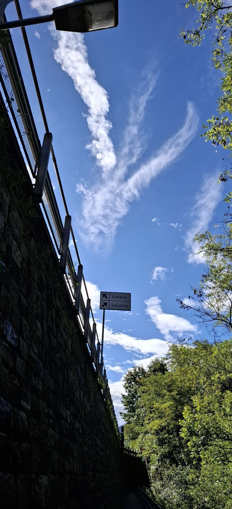
Outbound from Locarno, station: take the NFB 315 bus towards Cavergno, village. Get off at the Maggia, Centro stop. Return from Maggia, Centro (alternative from Someo): take bus 315 towards Locarno, station. For more information: www.sbb.ch
T1
Népszerű túrák a környéken
-
4,8
Avegno-Ponte Brolla-Avegno
közepesKirándulás 8,56 km -
4,0
Cardada Bike (SwitzerlandMobility 397)
nehézMountainbike 30,4 km -
4,3
Revöira Ethnographic Trail (SwitzerlandMobile 629)
közepesKirándulás 7,97 km -
3,5
Entlang der Verzasca von Sonogno via Brione nach Lavertezzo
könnyűKirándulás 14,5 km -
5,0
Giro della Valle del Salto (SvizzeraMobile 611)
közepesKirándulás 8,84 km -
4,8
Diga Verzasca-Mergoscia-Corippo-Lavertezzo
közepesKirándulás 13,0 km -
Sentiero Verzasca (SvizzeraMobile 74)
közepeshosszú távú sétaútvonal 34,4 km -
4,3
Sentiero Verzasca (SvizzeraMobile 74) - Stage 1: Sonogno-Lavertezzo
közepeshosszú távú sétaútvonal 13,4 km -
4,0
Vogorno-Alpe Bardughè-Vogorno
közepesKirándulás 12,2 km -
4,5
Sculpture path
könnyűTanösvény 2,49 km
Túrázás & nyomkövetés


Ne maradjon le az ajánlatokról és az inspirációról a következő nyaralásához!
Az Ön e-mail címe hozzá lett adva a levelezőlistához.