


Adelsberg route
Nehézségi szint: 2


The area of the Bad Berka VitalParcours extends over the entire hiking area around the spa town. For all who want to improve their fitness gently yet highly effectively, Nordic Walking is the right sport....
The area of the Bad Berka VitalParcours extends over the entire hiking area around the spa town. For all who want to improve their fitness gently yet highly effectively, Nordic Walking is the right sport. It leads to significant muscle building and weight loss, and prevents diseases such as high blood pressure, heart attack, and diabetes. It is easy to learn for beginners of all ages and for those untrained.

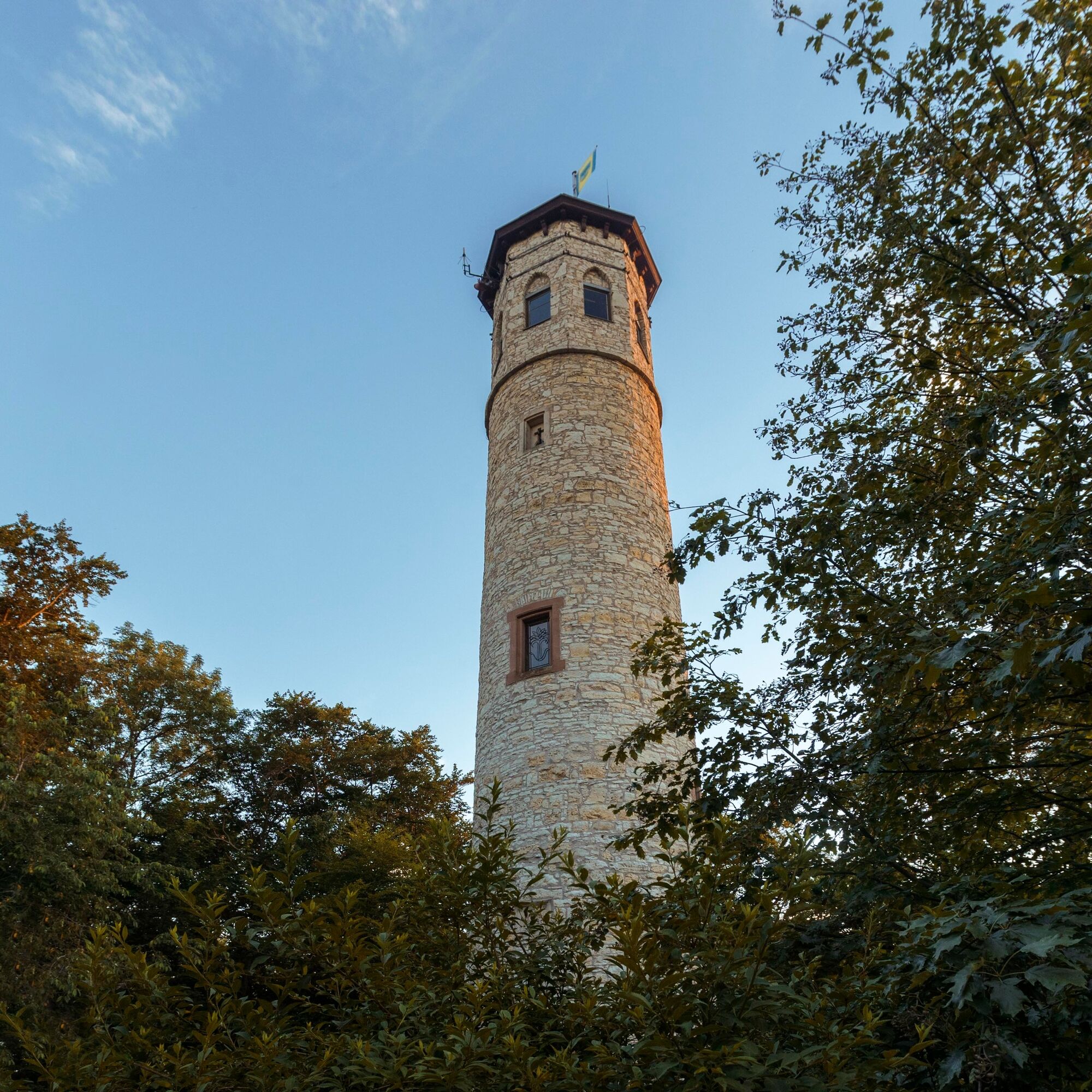
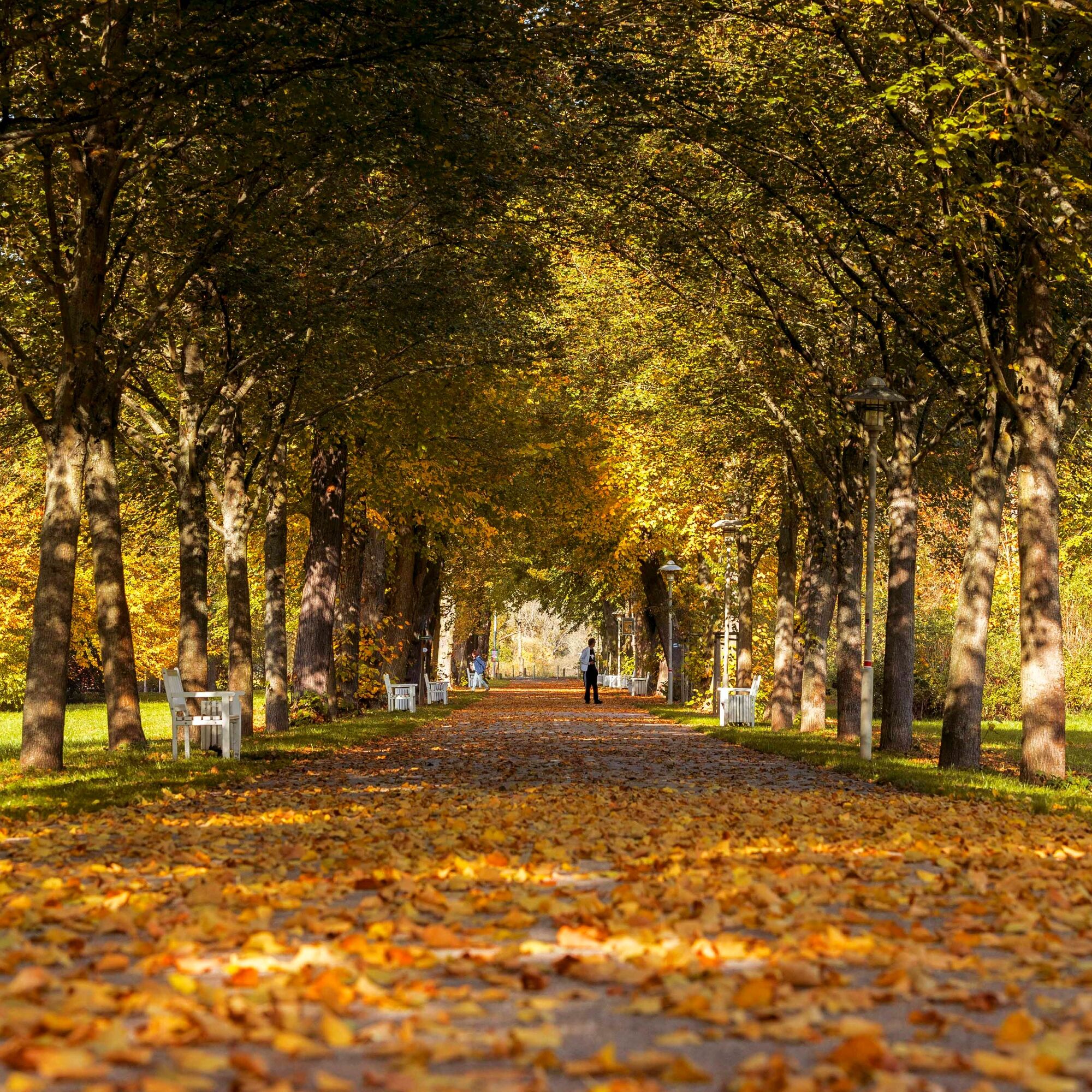
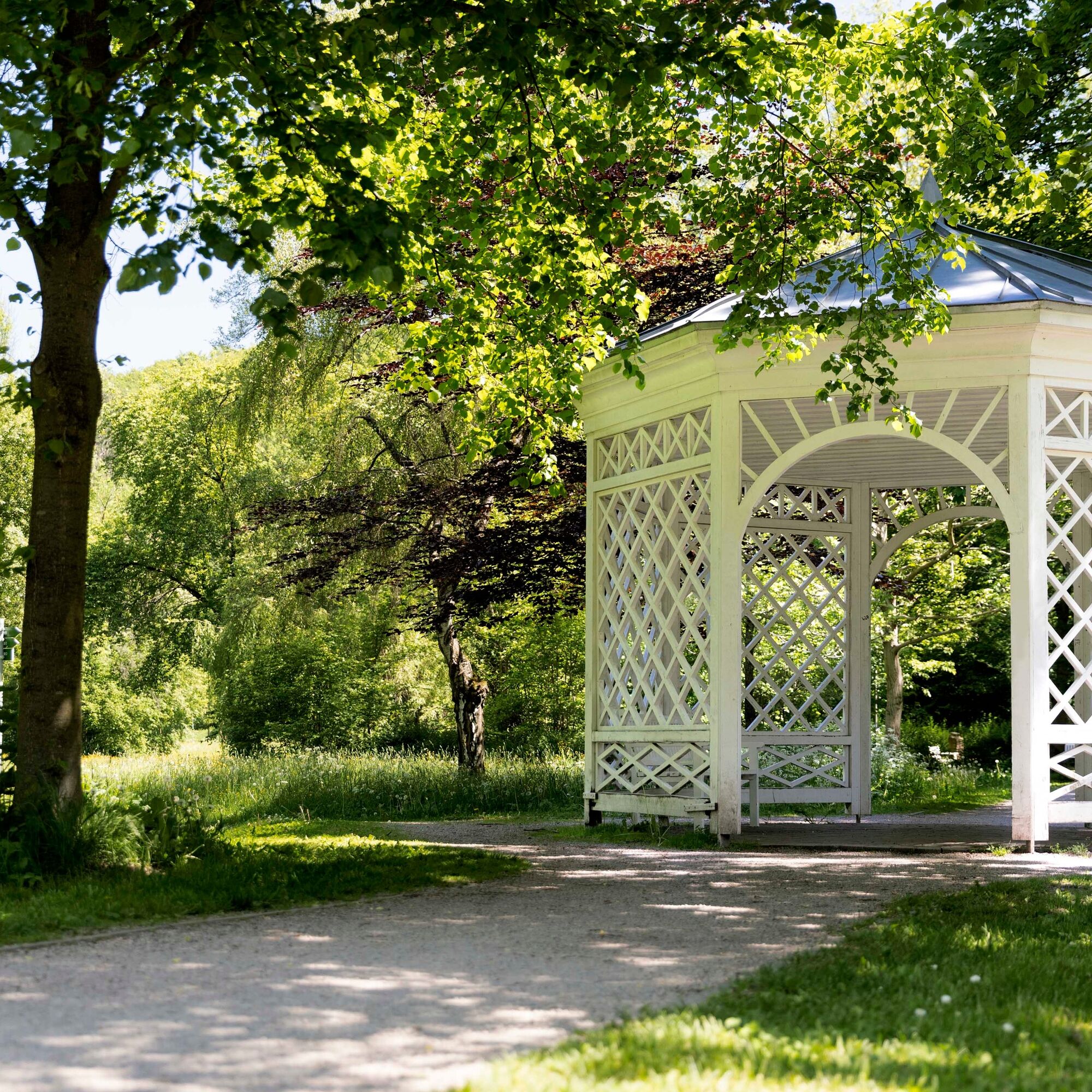
After starting at the Goethe Fountain, we walk along the Goetheallee through the spa park. At the end of the Goetheallee, we turn right and walk parallel to Hetschburger Street. At the end of the path, we cross Park Street and use the paved path to the left of the Coudray House up to the forest. Walk up the stairway and follow the path to Am Adelsberg Street. We cross the street and keep slightly left until we meet the hiking trail parallel to the road to Hetschburg. Here, the Adelsberg route follows the Thuringian Three Towers Trail past Hetschburg to just before Buchfart. Here we turn right and the path goes uphill. Passing the Hirtenberg hut and the memorial place of the burial forest, we reach again shortly before Adelsberg the Thuringian Three Towers Trail. We walk right towards Adelsberg and Paulinenturm cabin. Those who want can enjoy the view or stop here. Shortly before Adelsberg, we turn left and follow the path downhill. We cross the forest road to Paulinenturm and follow the path until we reach a meadow at the end of the forest. Here we turn right and follow the path to Paulinenhütte. From here, the path goes downhill again to the Coudray House. At Park Street, we turn left onto it and follow it along the spa park to Turmweg. Here we turn right into the spa park, at the shooting house turn left and have reached the destination.
Sturdy footwear
From the direction of Weimar or Rudolstadt (B 85) turn right or left at the Ilmenau junction into the city center and follow the signs to the parking lot.
From the direction of Ilmenau, drive straight ahead at the junction to Weimar/Rudolstadt into the city center and follow the signs to the parking lot.
Arrival by bus and train possible. Starting point is reachable on foot.
City center parking lot (clearly signposted on local signs); free parking and caravan parking area; about 400 m walk from there to the tourist information.
2
Népszerű túrák a környéken
-
5,0
Thuringian Three Towers Trail
közepesKirándulás 25,3 km -
4,5
Kneipp circular route Bad Berka
közepesTanösvény 8,96 km -
Megamarsch Erfurt 2022
nehézKirándulás 50,6 km -
Megamarsch Erfurt 2023
közepesKirándulás 50,8 km -
5,0
Heinrich-Schütz-Weg
könnyűKirándulás 8,96 km -
Bad Berka district trail - 1st stage
közepesKirándulás 10,9 km -
Bad Berka District Trail - 4th stage
közepesKirándulás 15,8 km -
Ortsteileweg Bad Berka (OTW)
közepesKirándulás 47,8 km -
Megamarsch Erfurt 2024
közepesKirándulás 51,2 km -
Bienenlehrpfad
Kirándulás 0,56 km
Túrázás & nyomkövetés


Ne maradjon le az ajánlatokról és az inspirációról a következő nyaralásához!
Az Ön e-mail címe hozzá lett adva a levelezőlistához.