


Hohenwarte Reservoir Trail - Stage 3 - Ziegenrück → Drognitz


Fotók felhasználóinkról
Stage 3: Ziegenrück to Drognitz
This stage takes you from the fairy-tale small town to beautiful viewpoints. After visiting the sights of Ziegenrück, the hiking trail runs along the picturesque Saale riverbank...
Stage 3: Ziegenrück to Drognitz
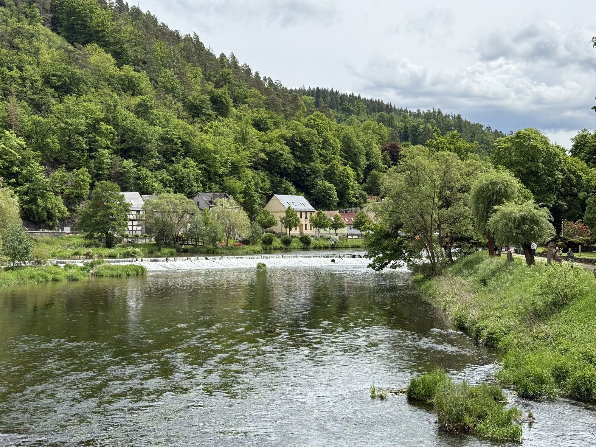
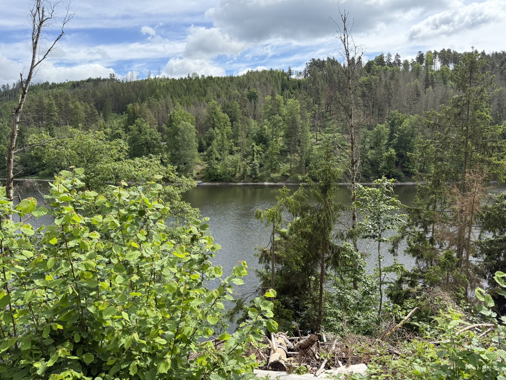
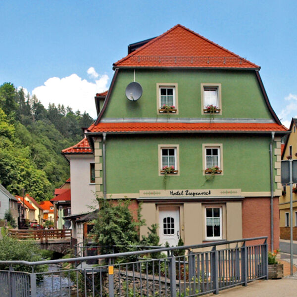
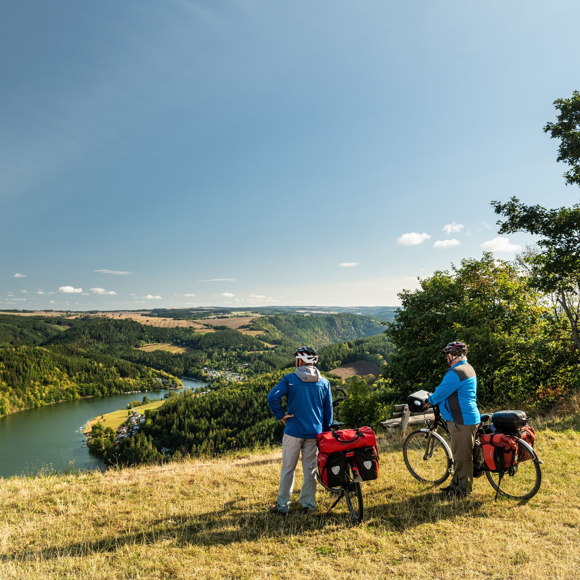
This stage takes you from the fairy-tale small town to beautiful viewpoints. After visiting the sights of Ziegenrück, the hiking trail runs along the picturesque Saale riverbank past the Hemmkoppe. Steep banks of the Saale rise on left and right. Then it goes steeply uphill. In Altenbeuthen, you will be more than rewarded for the effort. Two inns invite you to eat and relax. At the viewpoint Hohe Leite, you can enjoy the breathtaking view of the Saale valley. Over the ridge, you reach Drognitz in a short time. There, a rustic traditional inn awaits you as well as the connection to the hiking bus.


Ziegenrück - At the Hemmkoppe - Ottergrund - Opposite Conrod Power Plant - Altenroth - Altenbeuthen - Hohe Leite - Drognitz
Igen
Sturdy footwear
Drink supply
First aid kit
GPS navigation device or smartphone
Note the typical dangers of the forest!
Hiking is at your own risk!
We wish you a relaxing and adventurous hike!
Coming from the A9 take exit 26 (Triptis) and continue on the B281 westward towards Neustadt an der Orla. Follow the federal road further through Pößneck towards Saalfeld.
You can conveniently reach Hohenwarte with KomBus line 546 from Saalfeld (Deutsche Bahn connection). The line network 5 connects coordinated services providing public transportation around the entire reservoir.
For connections to Ziegenrück, simply use the Deutsche Bahn travel portal.
For connections to Drognitz, simply use the Deutsche Bahn travel portal.
Near the forest adventure trail in Ziegenrück there is a visitor parking lot. (Google NAV point)
In Drognitz, parking is available within the town on the main street near the bus stop. (Google NAV point)
Igen
The Hydropower Museum in Ziegenrück, Hermannsfelsen Hohenwarte Reservoir, Folklore Museum Reitzengeschwenda
Népszerű túrák a környéken
-
5,0
Circular hiking trail for children - "1000-Ponds-Circular Route"
könnyűKirándulás 8,28 km -
4,7
Circular hiking route - H3 "The Bird's Eye View" - Thuringian Forest
közepesKirándulás 8,76 km -
4,7
Circular hiking trail - H5 "The Water Route" - Thuringian Forest
közepesKirándulás 6,58 km -
4,0
Circular route - "Wichtelweg" - Wilhelmsdorf
könnyűTanösvény 2 km -
Circular route - Otter Bay and Devil's Pulpit - Ziegenrück
közepesKirándulás 16,8 km -
Circular hiking trail - Mushroom experience trail Gräfenwarth - Thuringia
közepesKirándulás 5,48 km -
Rund um Schloss Burgk
könnyűKirándulás 7,04 km -
Children's path in Leutenberg "On the trail of the fire salamander"
közepesKirándulás 5,36 km -
5,0
Hohenwarte Reservoir Way - Section 2 - Camping Wilhelmsdorf Portenschmiede → Ziegenrück
közepesKirándulás 18,3 km -
MTB Saalfeld 13: Hohenwarte Reservoir Circular Route
közepesMountainbike 46,4 km
Túrázás & nyomkövetés


Ne maradjon le az ajánlatokról és az inspirációról a következő nyaralásához!
Az Ön e-mail címe hozzá lett adva a levelezőlistához.