


Forester Brommer Path


Karl Brommer from Bad Berka (1883-1969) worked as a forester in the Berka district from 1926 to 1945. His hunter's tales and hunting stories were well known and popular.

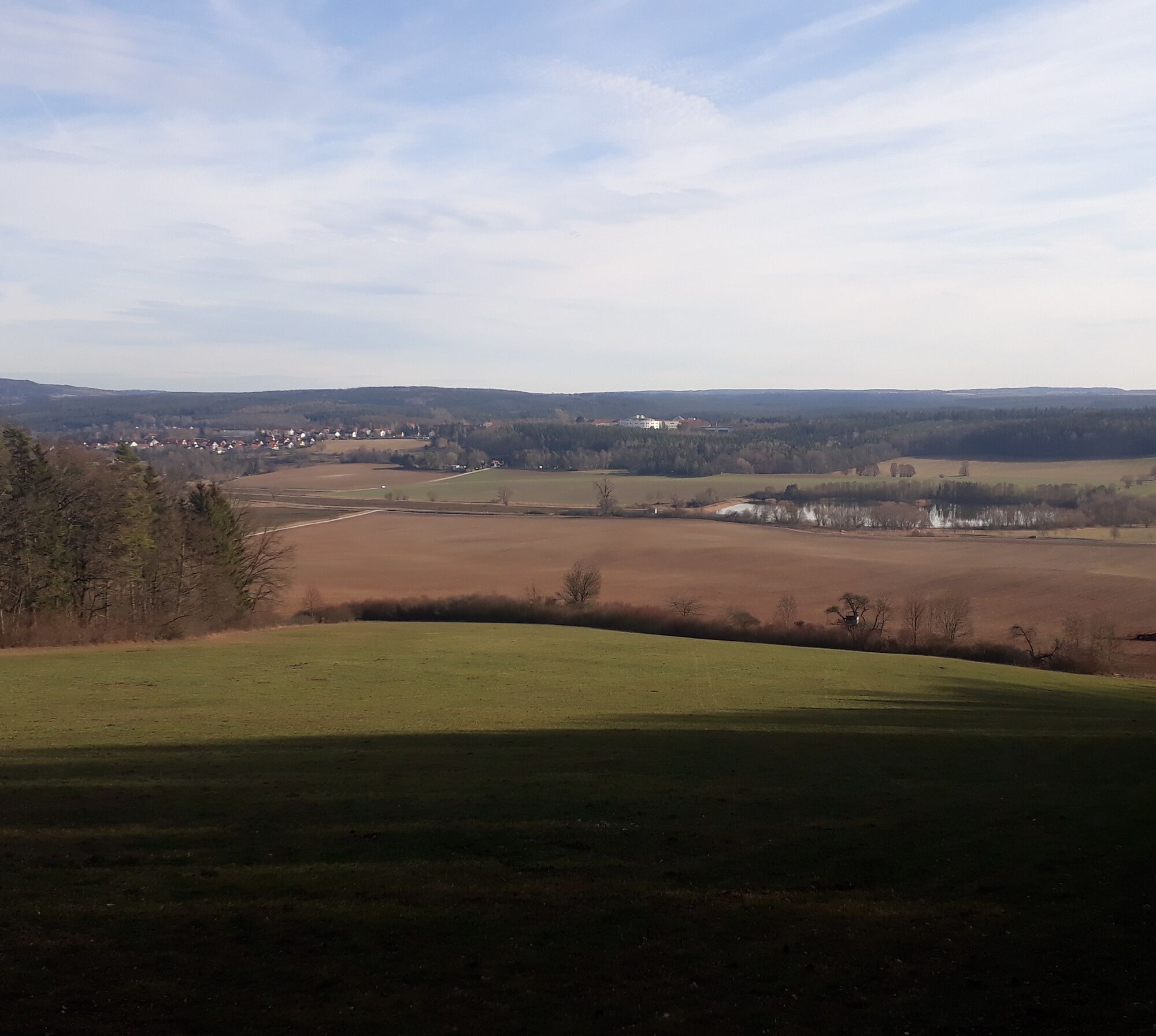
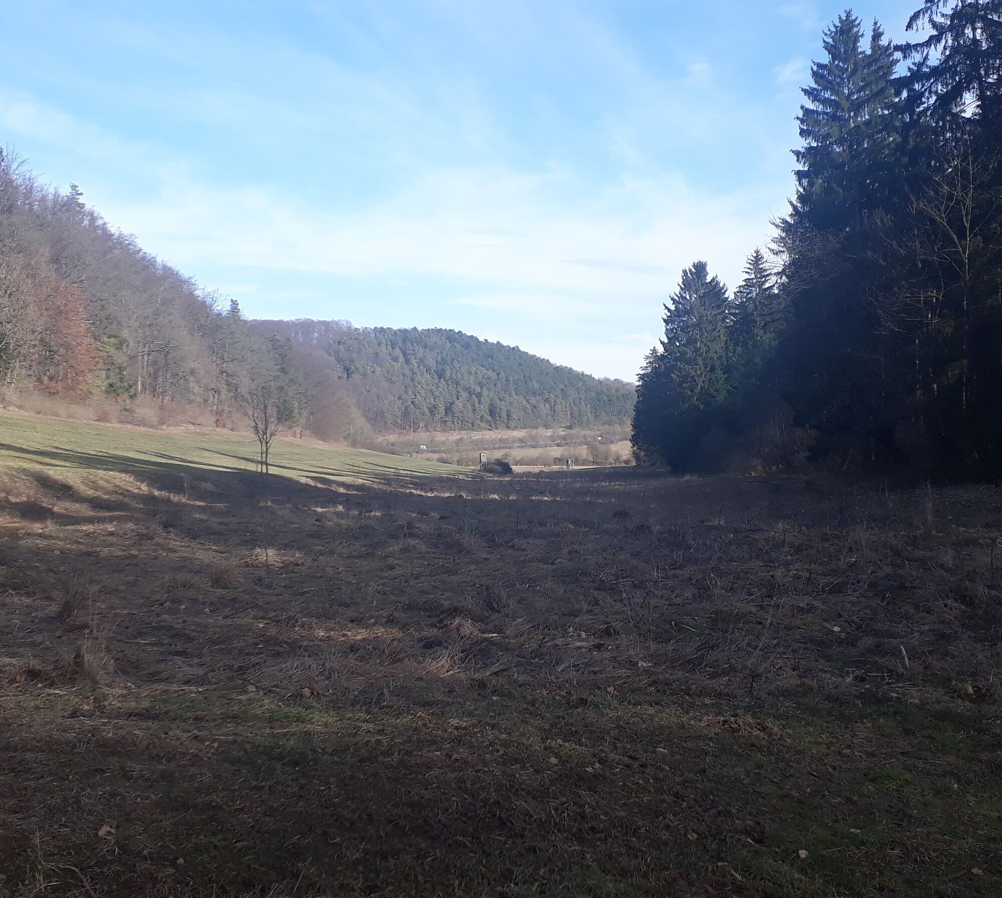

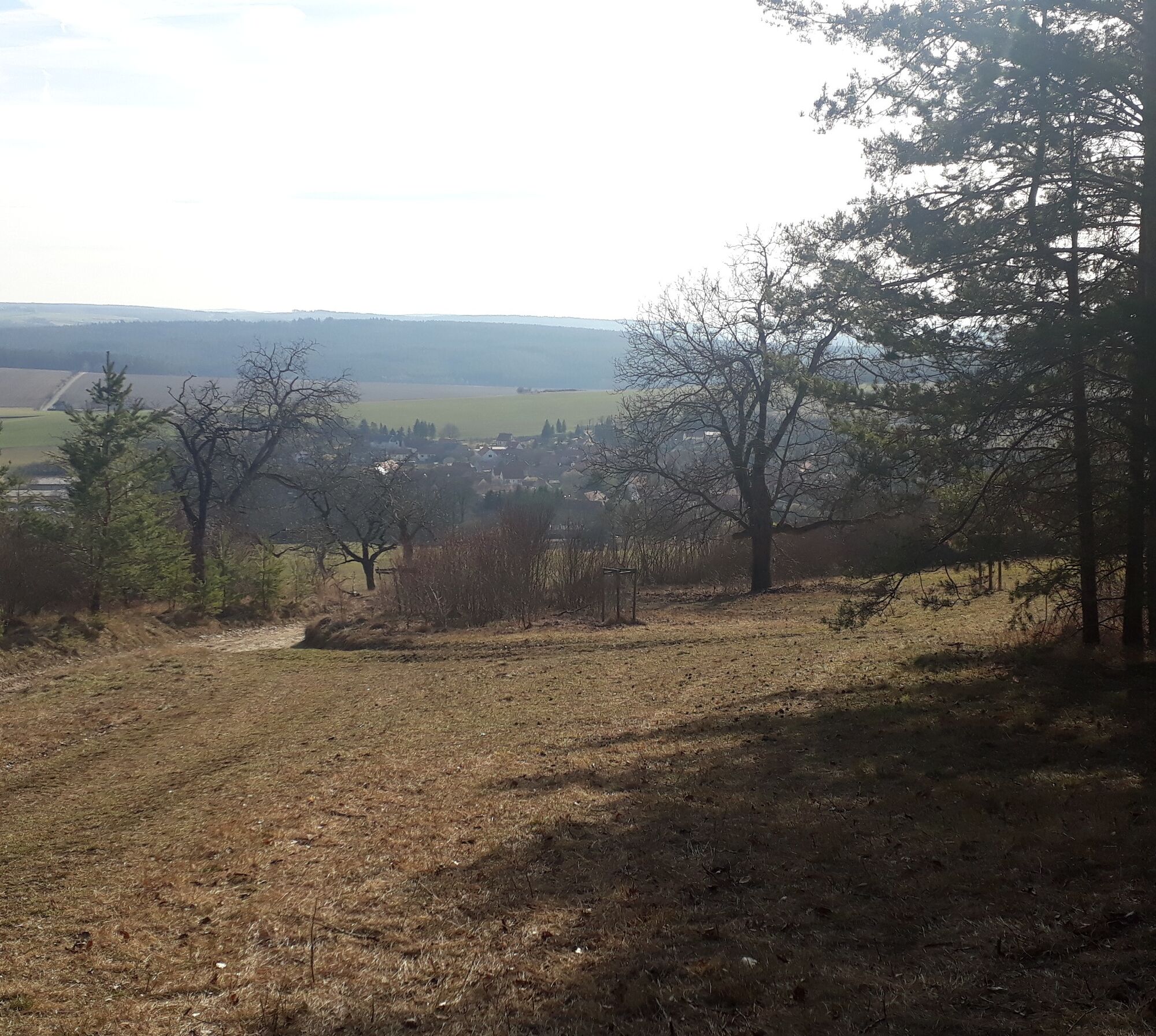
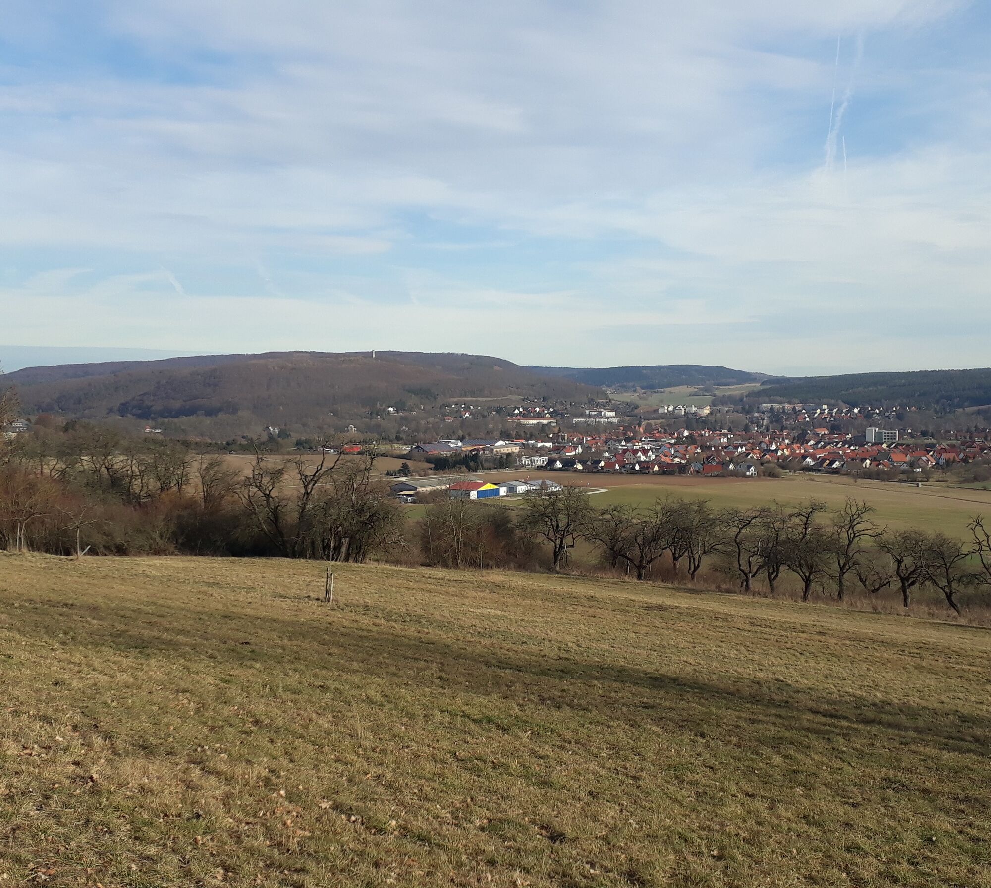
We start at Ziegelbrunnen, head towards Zeughausplatz, and walk along Johann-Scholz-Straße to the north. At the end of the buildings, we go straight on the gravel path. Passing the airfield, we head towards Erfurter Tal. The path then becomes a meadow path and veers slightly left. We follow the path to the forest edge, where it changes into a forest track. We follow this path to the intersection at Erfurter Tal Hut. Here the path turns left over the meadow into the forest. Now the forest path goes uphill onto the ridge of Wacholderberg. Once at the top, a detour to the Tiefengruben rest area is worthwhile. The path follows the Wacholderberg ridge towards Bad Berka, past a viewpoint with a view of the central clinic as well as the Wacholderberg Hut. Now the path goes downhill to the airfield, before which we turn left and reach the gravel path again, which we follow towards the town and reach Zeughausplatz via Johann-Scholz-Straße, before reaching the destination (Ziegelbrunnen).
Sturdy footwear
From the direction of Erfurt / Weimar, turn right before the Total gas station, turn left onto Johann-Scholz-Straße, and then the two parking lots are on the left side.
From the direction of Rudolstadt / Ilmenau, turn left at the Zeughausplatz intersection, and then the parking lots are located on the right side behind the railway crossing.
Travel possible by bus and train. Starting point is reachable on foot.
Parking lot Zeughausplatz and Johann-Scholz-Straße (free of charge)
Népszerű túrák a környéken
-
5,0
Thuringian Three Towers Trail
közepesKirándulás 25,3 km -
4,5
Kneipp circular route Bad Berka
közepesTanösvény 8,96 km -
Megamarsch Erfurt 2022
nehézKirándulás 50,6 km -
5,0
Heinrich-Schütz-Weg
könnyűKirándulás 8,96 km -
Megamarsch Erfurt 2023
közepesKirándulás 50,8 km -
Bad Berka district trail - 1st stage
közepesKirándulás 10,9 km -
Bad Berka District Trail - 4th stage
közepesKirándulás 15,8 km -
Ortsteileweg Bad Berka (OTW)
közepesKirándulás 47,8 km -
Megamarsch Erfurt 2024
közepesKirándulás 51,2 km -
4,0
Ludwig-Geist-Path
könnyűKirándulás 5,13 km
Túrázás & nyomkövetés


Ne maradjon le az ajánlatokról és az inspirációról a következő nyaralásához!
Az Ön e-mail címe hozzá lett adva a levelezőlistához.