


Bergsagen long-distance hiking trail: Stage 5 from Gnadenwald to Mairbach/Gnadenwald


Fotók felhasználóinkról
-
 © Johann PegrinLétrehozta a 20.07.2025
 -
 © Johann PegrinLétrehozta a 20.07.2025
 -
 © Johann PegrinLétrehozta a 20.07.2025
 -
 © Johann PegrinLétrehozta a 20.07.2025
 -
 © Stefan OttoLétrehozta a 07.07.2025
 -
 © kwiednerLétrehozta a 04.05.2023
 -
 © kwiednerLétrehozta a 04.05.2023
 -
 © tomwiedemairLétrehozta a 31.08.2025
 -
 © tomwiedemairLétrehozta a 31.08.2025
 -
 © tomwiedemairLétrehozta a 31.08.2025
 -
 © tomwiedemairLétrehozta a 31.08.2025
 -
 © tomwiedemairLétrehozta a 31.08.2025
 -
 © tomwiedemairLétrehozta a 31.08.2025
 -
 © tomwiedemairLétrehozta a 31.08.2025
 -
 © tomwiedemairLétrehozta a 31.08.2025
 -
 © Sigurd MarktLétrehozta a 09.08.2025
 -
 © Sigurd MarktLétrehozta a 09.08.2025
 -
 © Sigurd MarktLétrehozta a 09.08.2025
 -
 © Sigurd MarktLétrehozta a 09.08.2025
 -
 © Sigurd MarktLétrehozta a 09.08.2025
 -
 © Helmut SchuchterLétrehozta a 14.06.2025
 -
 © Helmut SchuchterLétrehozta a 14.06.2025
 -
 © Ingo WallnöferLétrehozta a 27.04.2025
 -
 © Ingo WallnöferLétrehozta a 27.04.2025
 -
 © Ingo WallnöferLétrehozta a 27.04.2025
 -
 © Ingo WallnöferLétrehozta a 27.04.2025
 -
 © West650Létrehozta a 20.04.2025
 -
 © West650Létrehozta a 20.04.2025
 -
 © West650Létrehozta a 20.04.2025
 -
 © West650Létrehozta a 20.04.2025
 -
 © West650Létrehozta a 20.04.2025
 -
 © West650Létrehozta a 20.04.2025
 -
 © West650Létrehozta a 20.04.2025
 -
 © HbvhbhLétrehozta a 22.03.2025
 -
 © HbvhbhLétrehozta a 22.03.2025
 -
 © Helmut SchuchterLétrehozta a 03.11.2024
 -
 © Helmut SchuchterLétrehozta a 02.11.2024


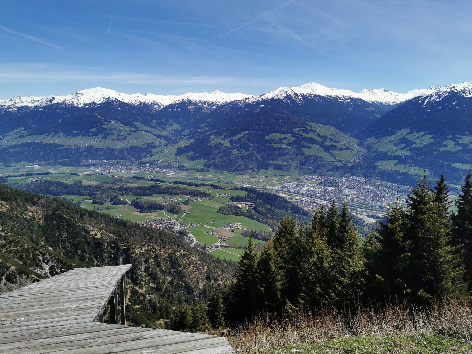


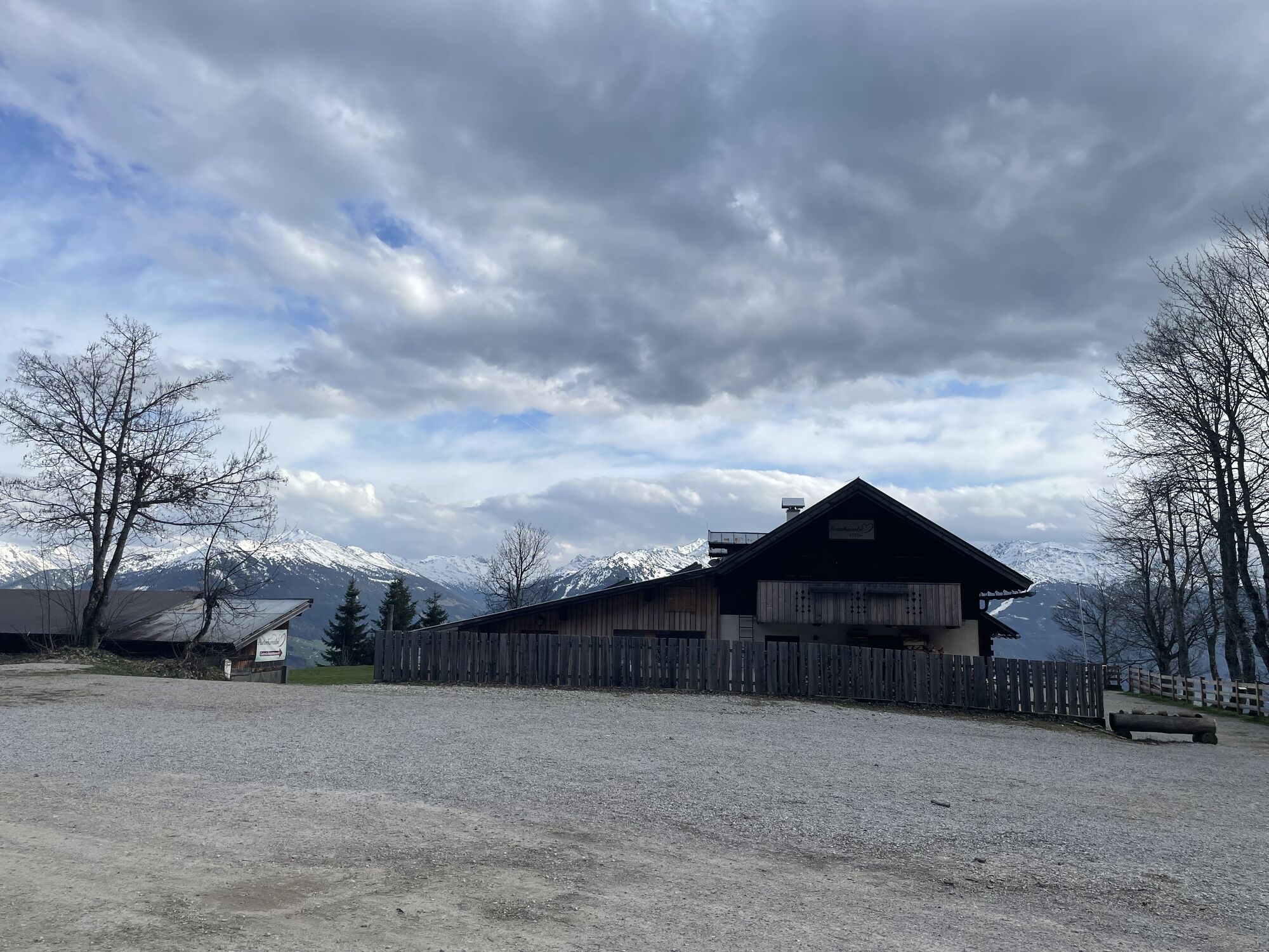


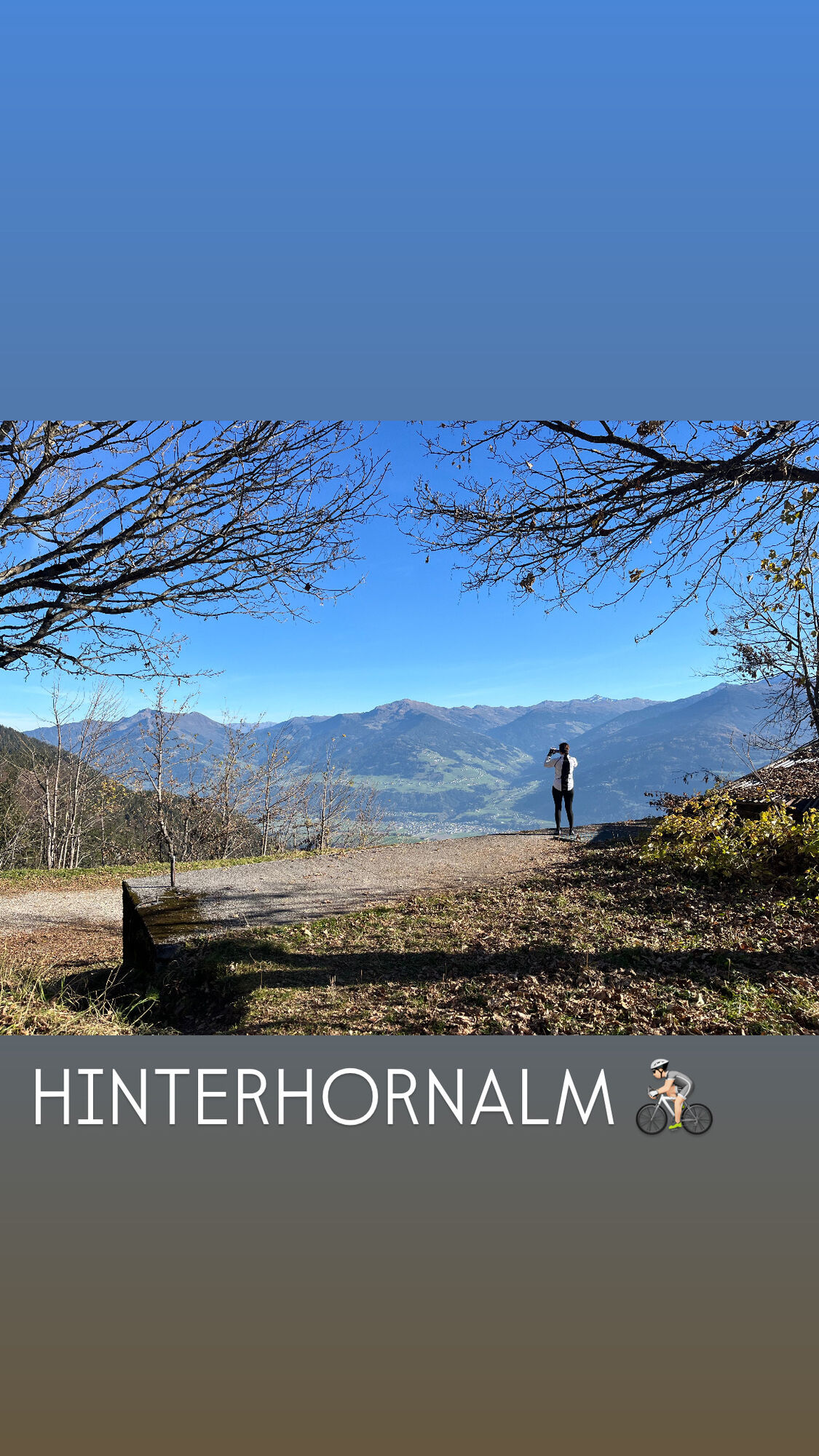
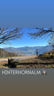
In Gnadenwald, the day starts with a brisk ascent to the Hinterhornalm. This south-facing ascent offers little shade in summer. Upon reaching the Hinterhornalm and the "Adlerblick" viewing platform, the...
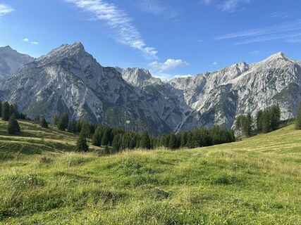
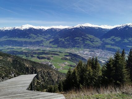
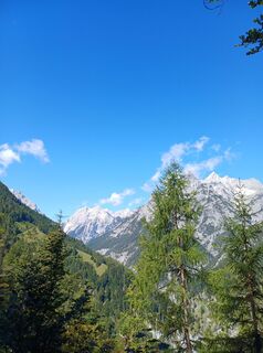
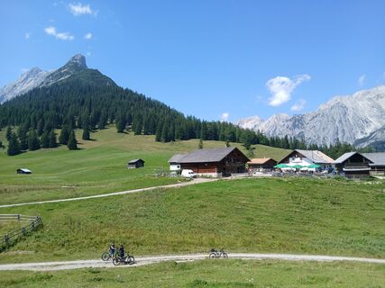
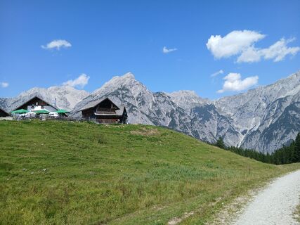
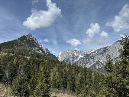
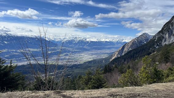
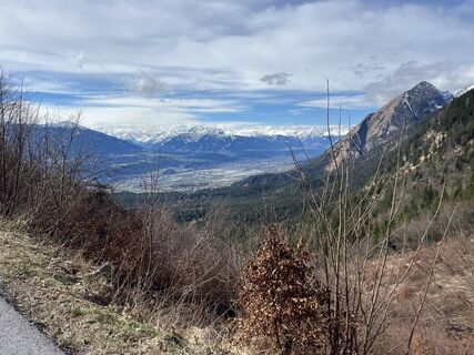
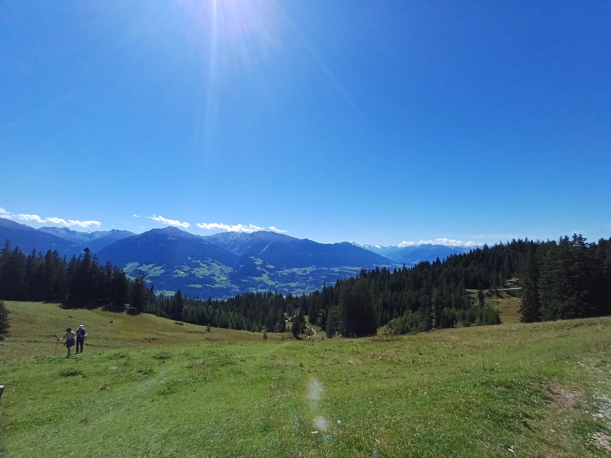
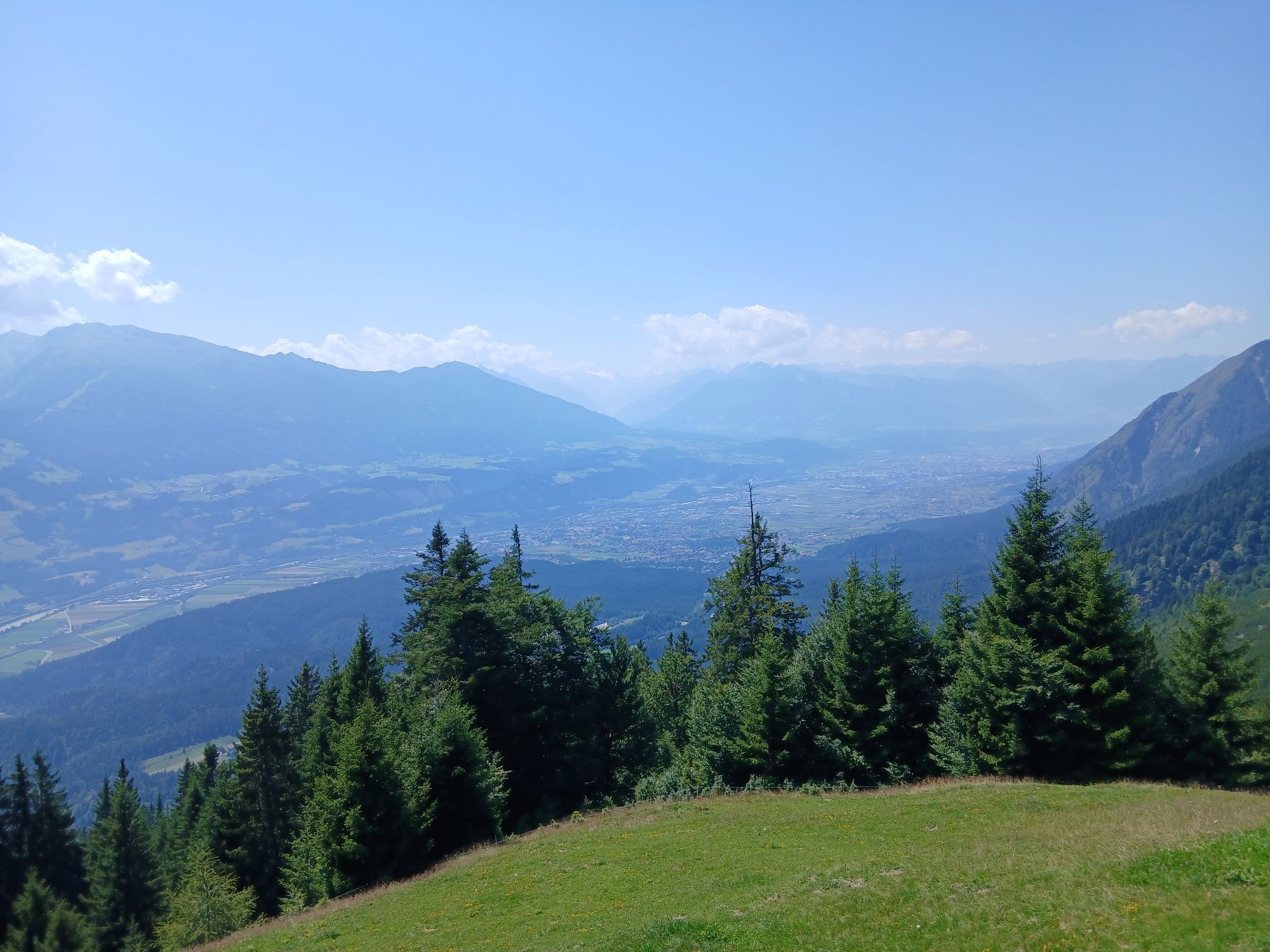
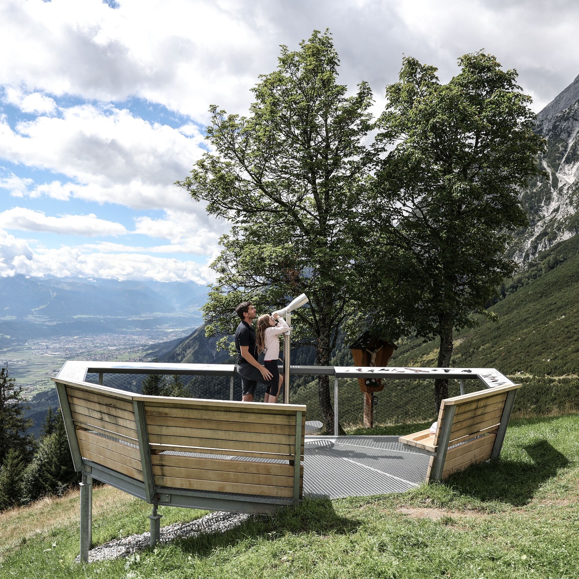
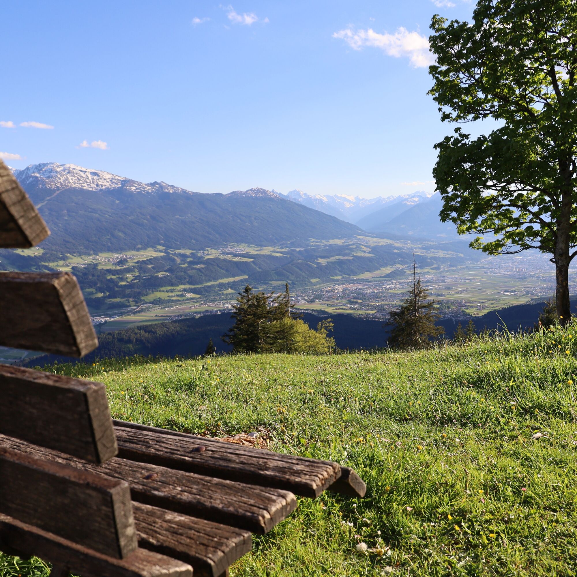
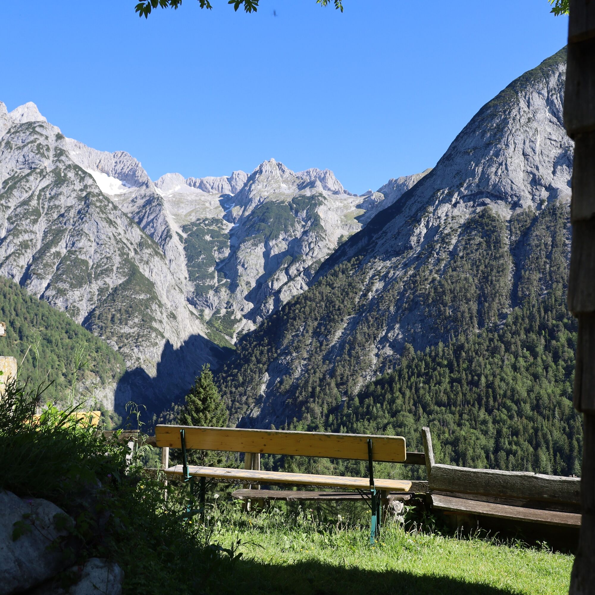
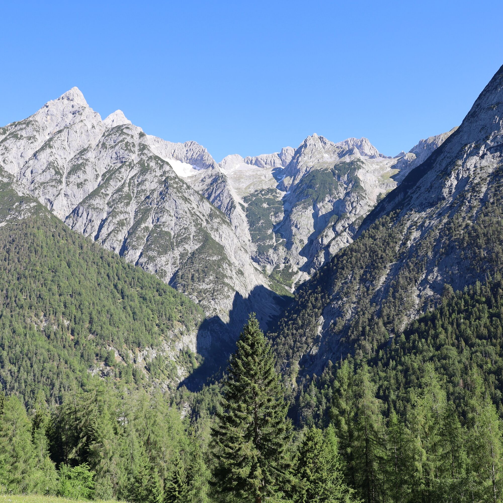
In Gnadenwald, the day starts with a brisk ascent to the Hinterhornalm. This south-facing ascent offers little shade in summer. Upon reaching the Hinterhornalm and the "Adlerblick" viewing platform, the route continues leisurely to the Walderalm. The panoramic view from the Walderalm, including the Karwendel panorama, the view of the Tuxer Alps, and the Inn Valley, can be fully enjoyed here.
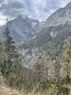
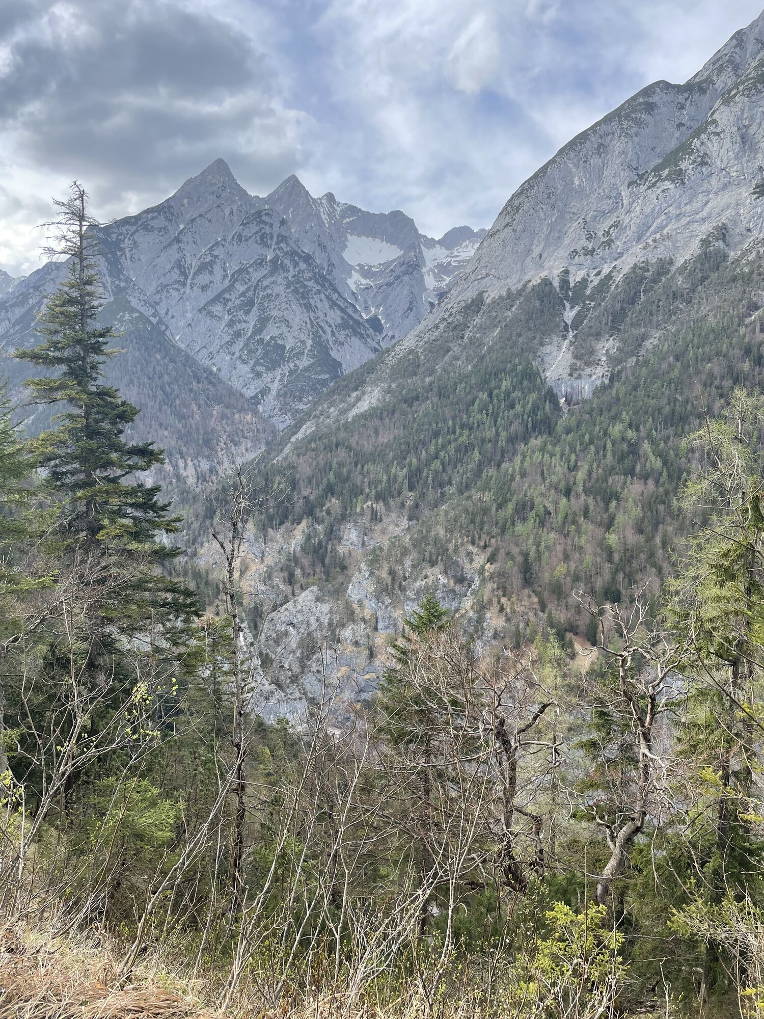
After a refreshment, the descent proceeds via the Ganalm (not operated) with views into the Vomperloch. We mentally say goodbye to our circuit through the Hall-Wattens region and reach the starting point where we began 5 days ago.


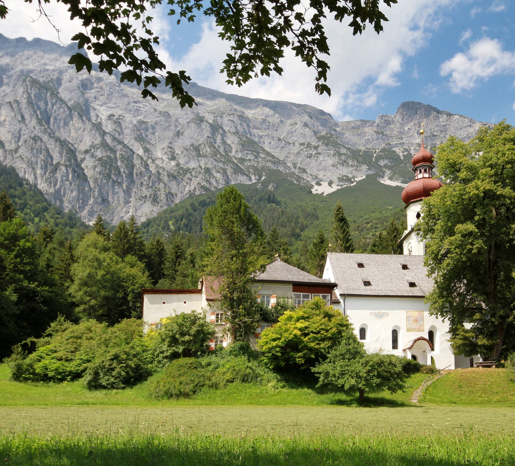
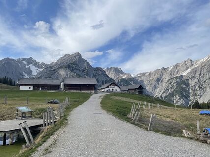
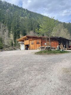
The last stage of the Bergsagen long-distance hiking trail starts at the parking lot in St. Martin in Gnadenwald. A place of peace and relaxation for walkers and pilgrims.
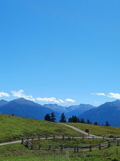
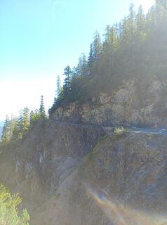
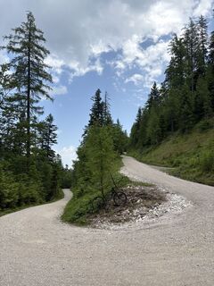
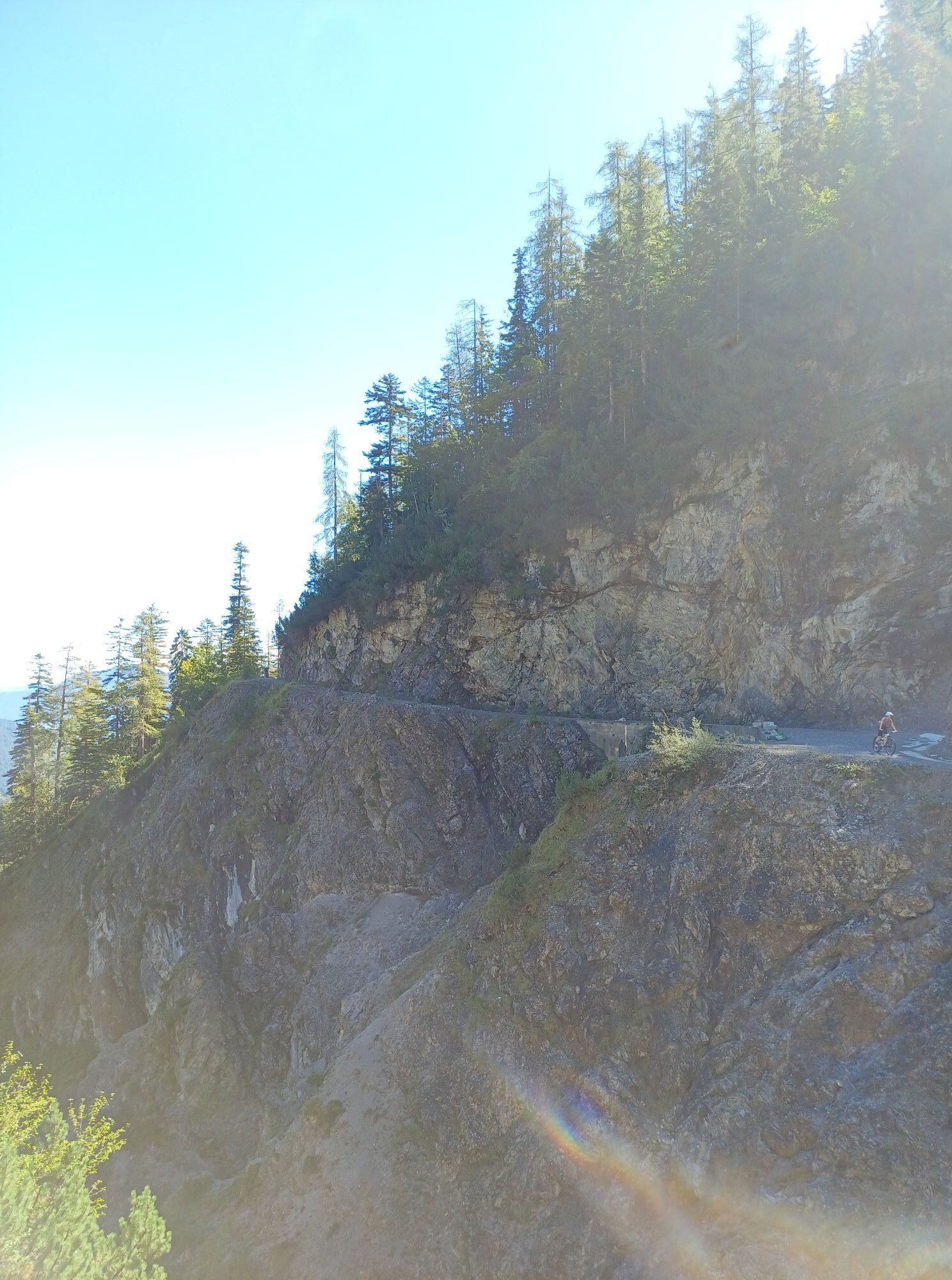
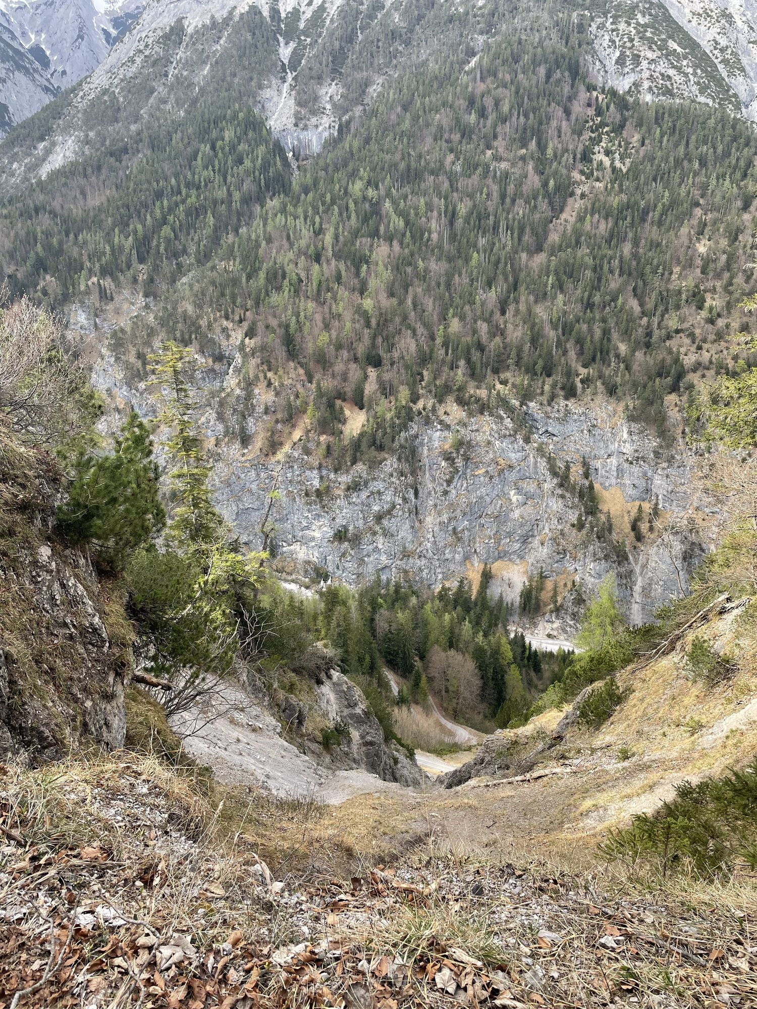
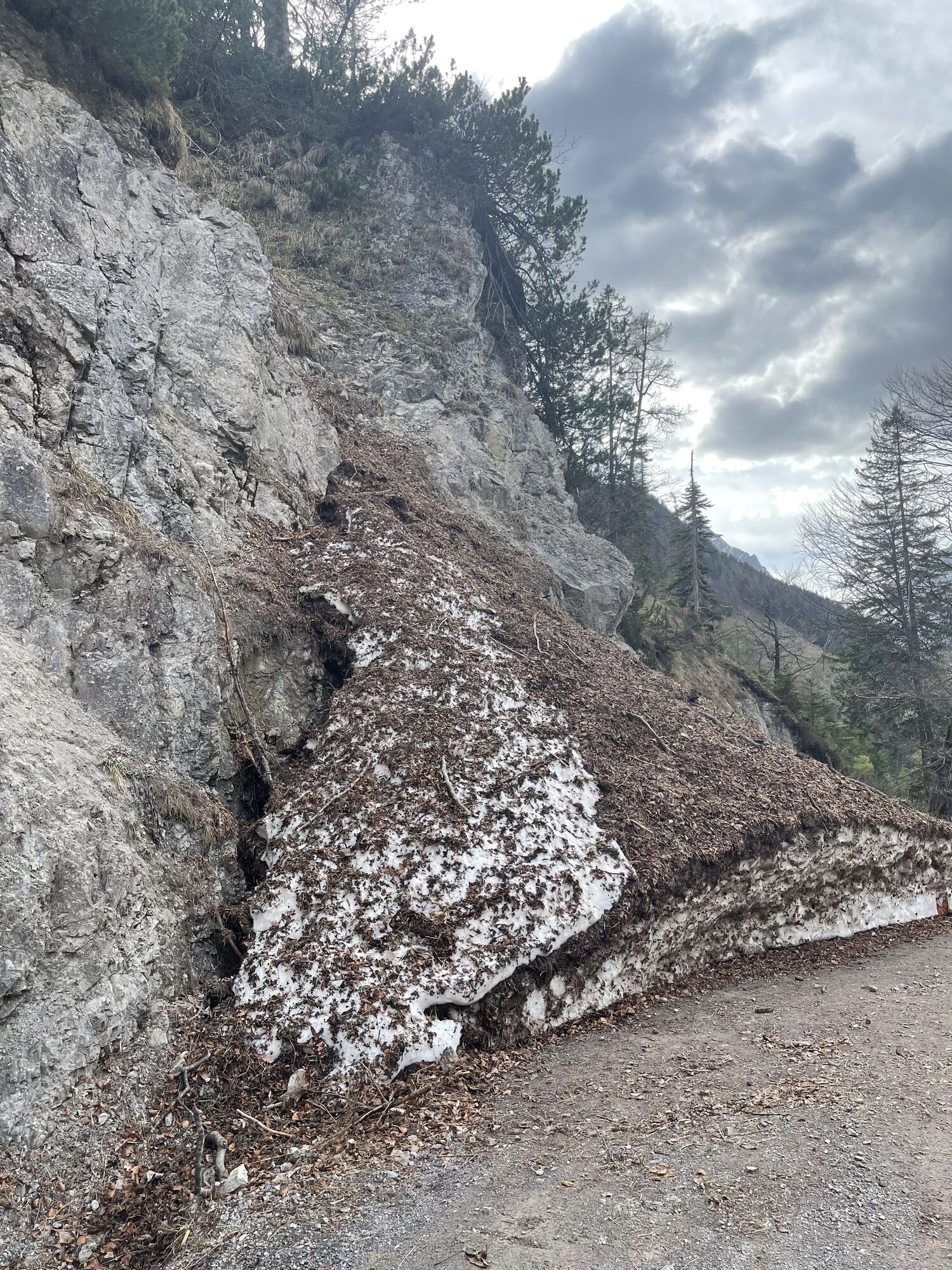
From here, you either follow the 6 km toll road or shorten the route via the steeper but shorter trail to the Hinterhornalm. The trail crosses the toll road several times. When you meet the road for the seventh time, follow it only for a short distance. At the next bend, turn left and follow the trail again. Cross the road one last time and follow the path up to the Hinterhornalm.
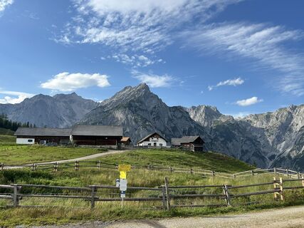
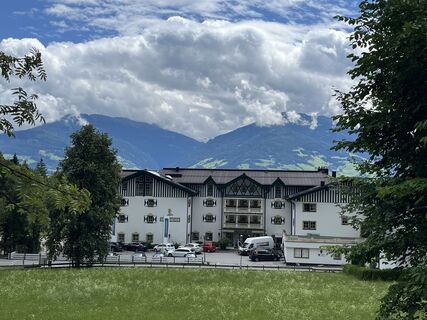
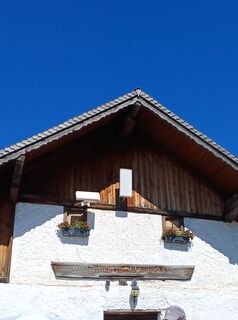
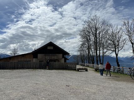
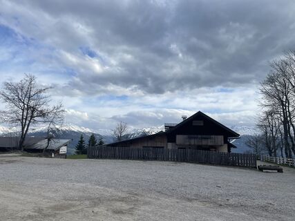
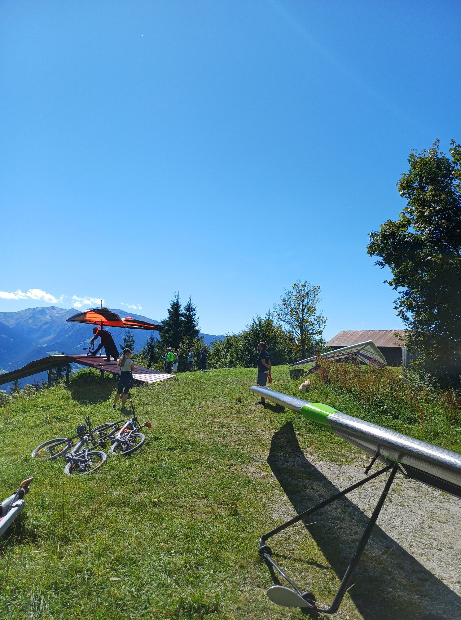
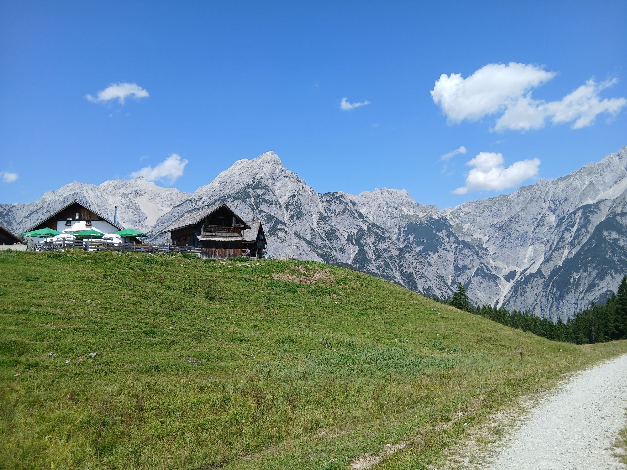
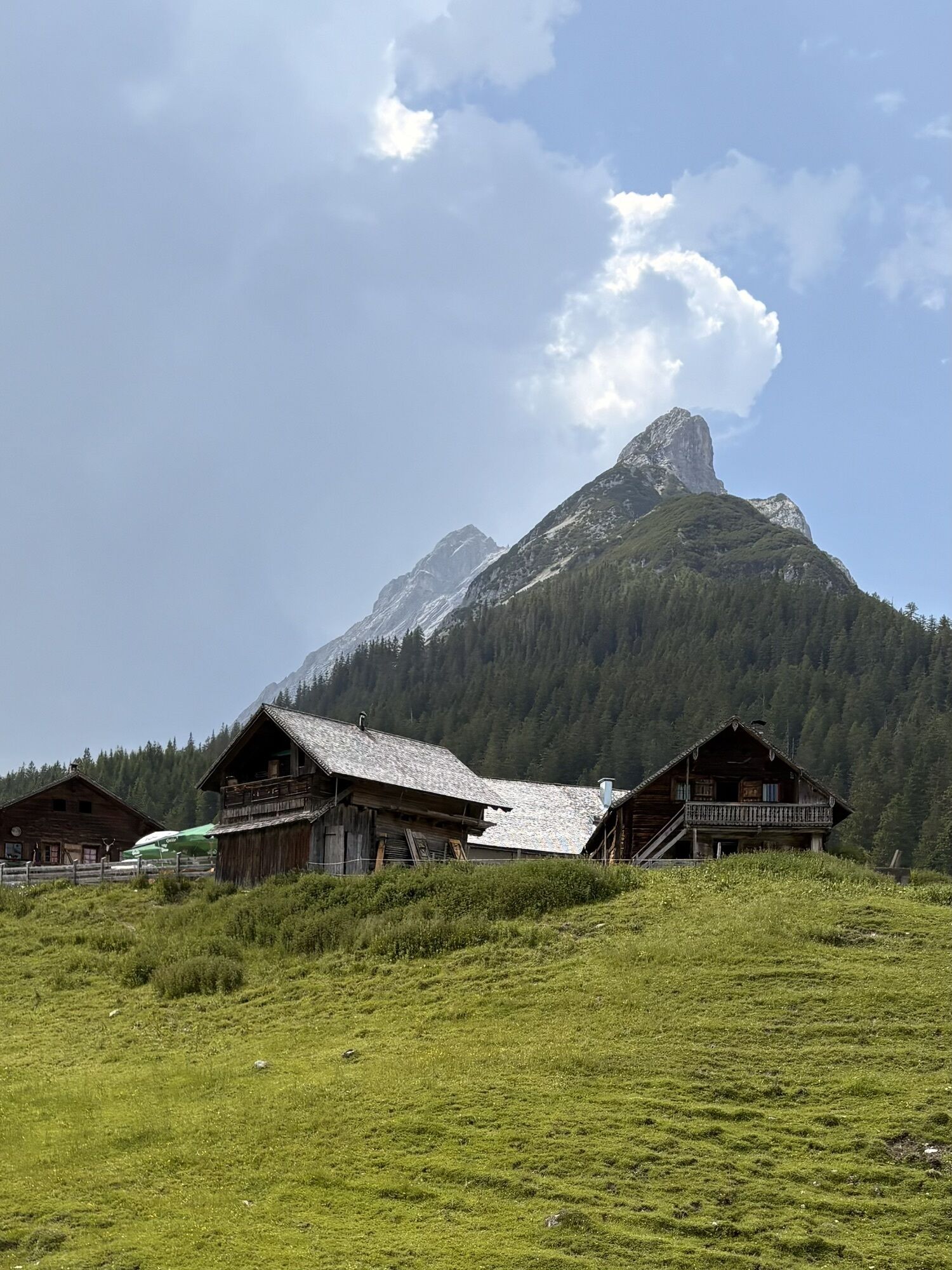
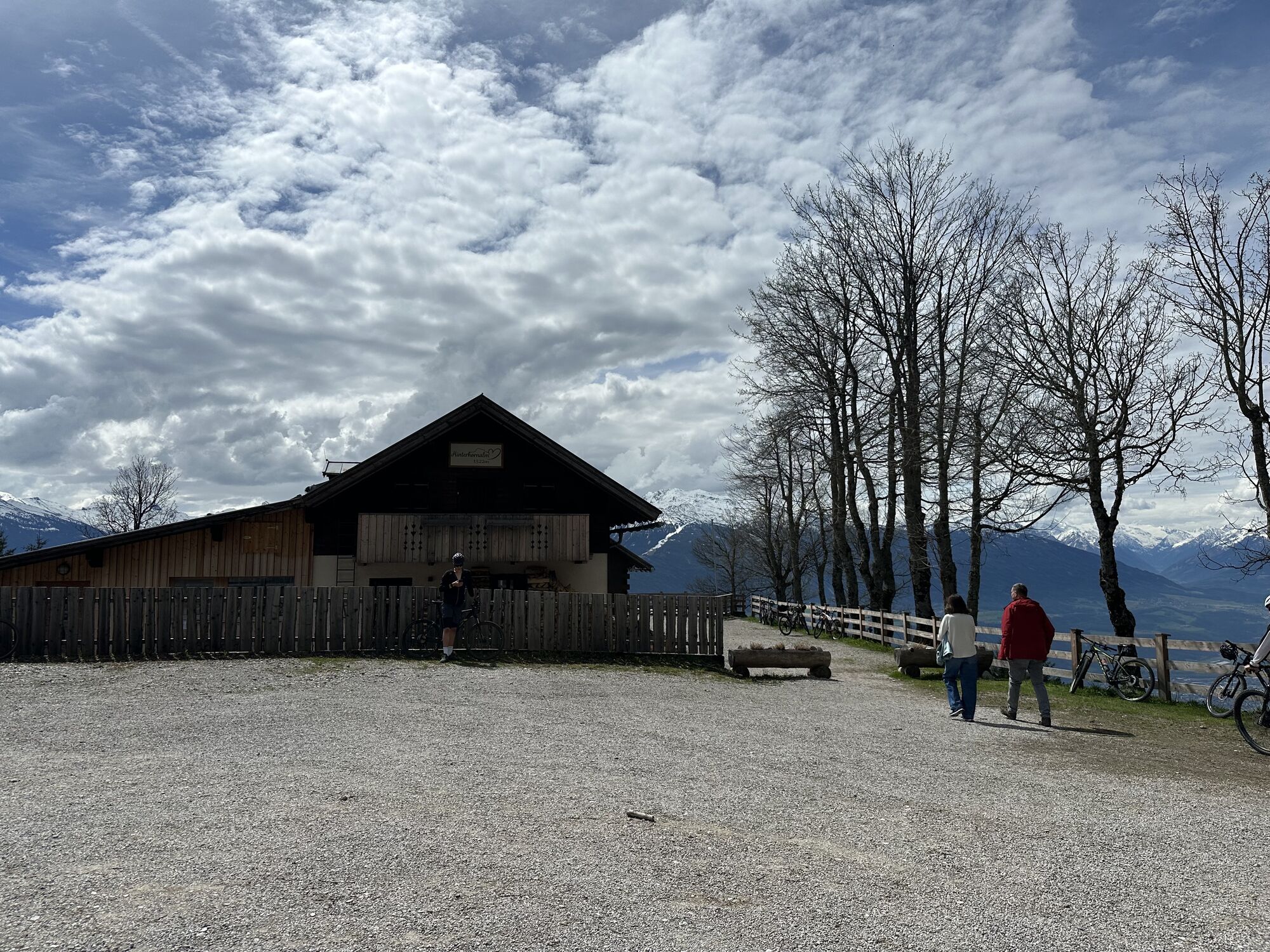
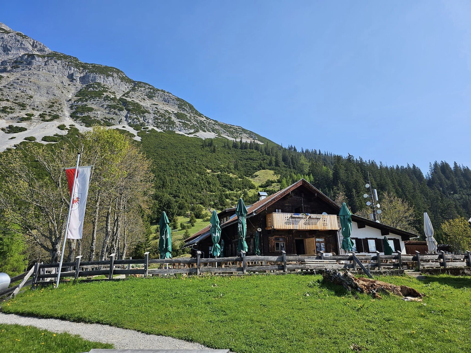
Once at the top, you can enjoy the magnificent views and 360-degree panorama of the Stubai Alps, Tuxer Alps, Karwendel mountains, and the Inn Valley from the Adlerblick viewing platform 1522. The Hinterhornalm invites you to rest and refresh.
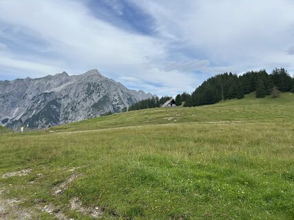
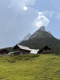
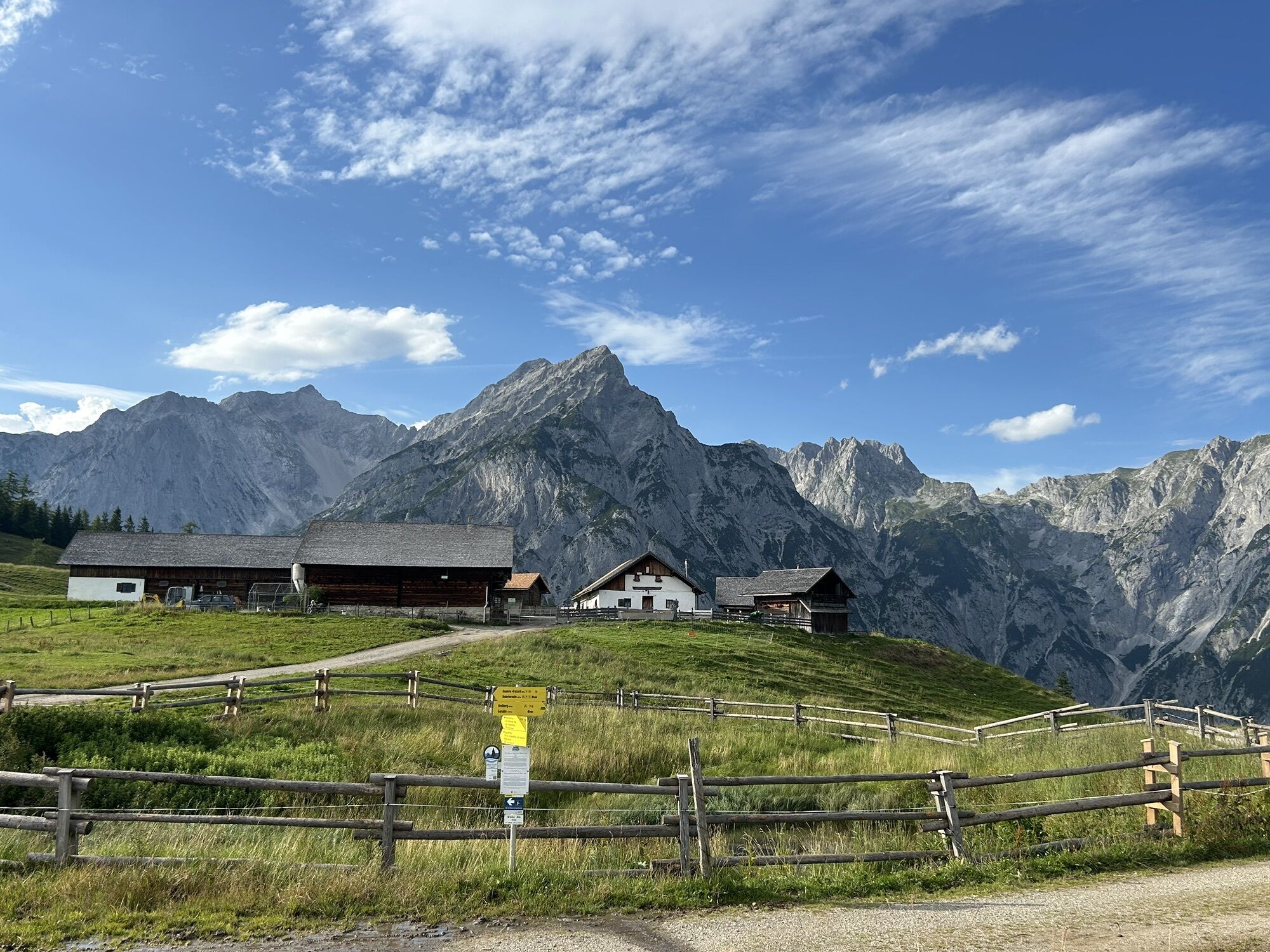
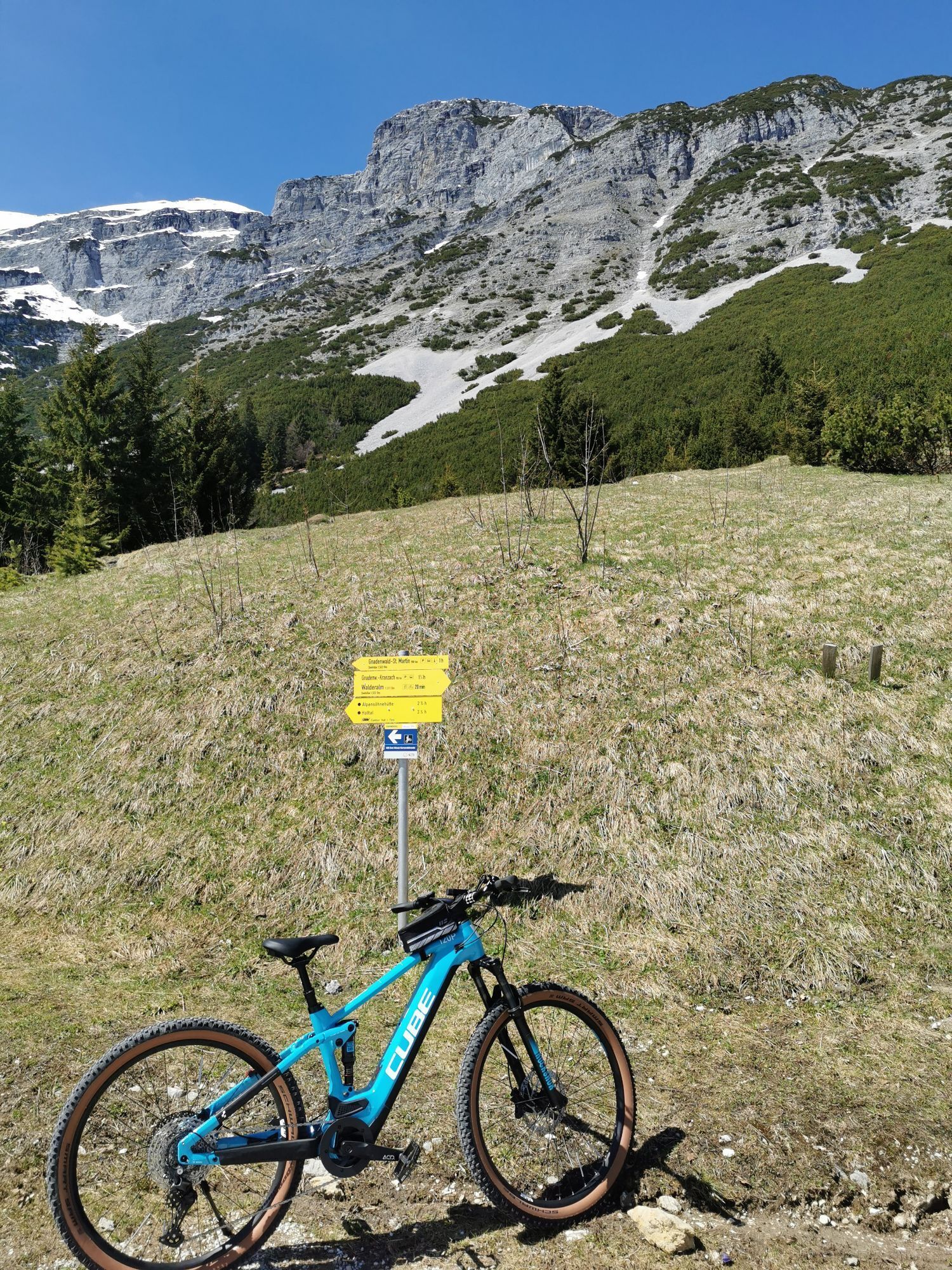
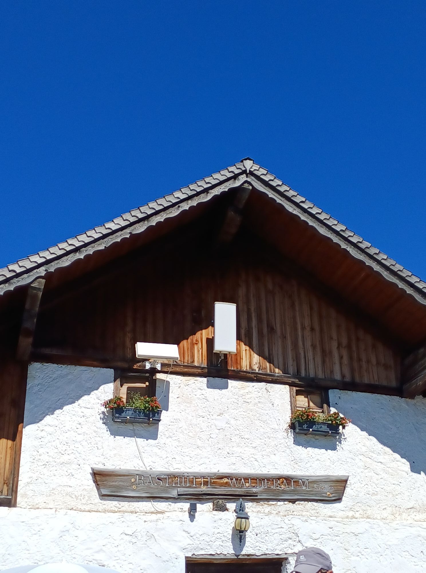
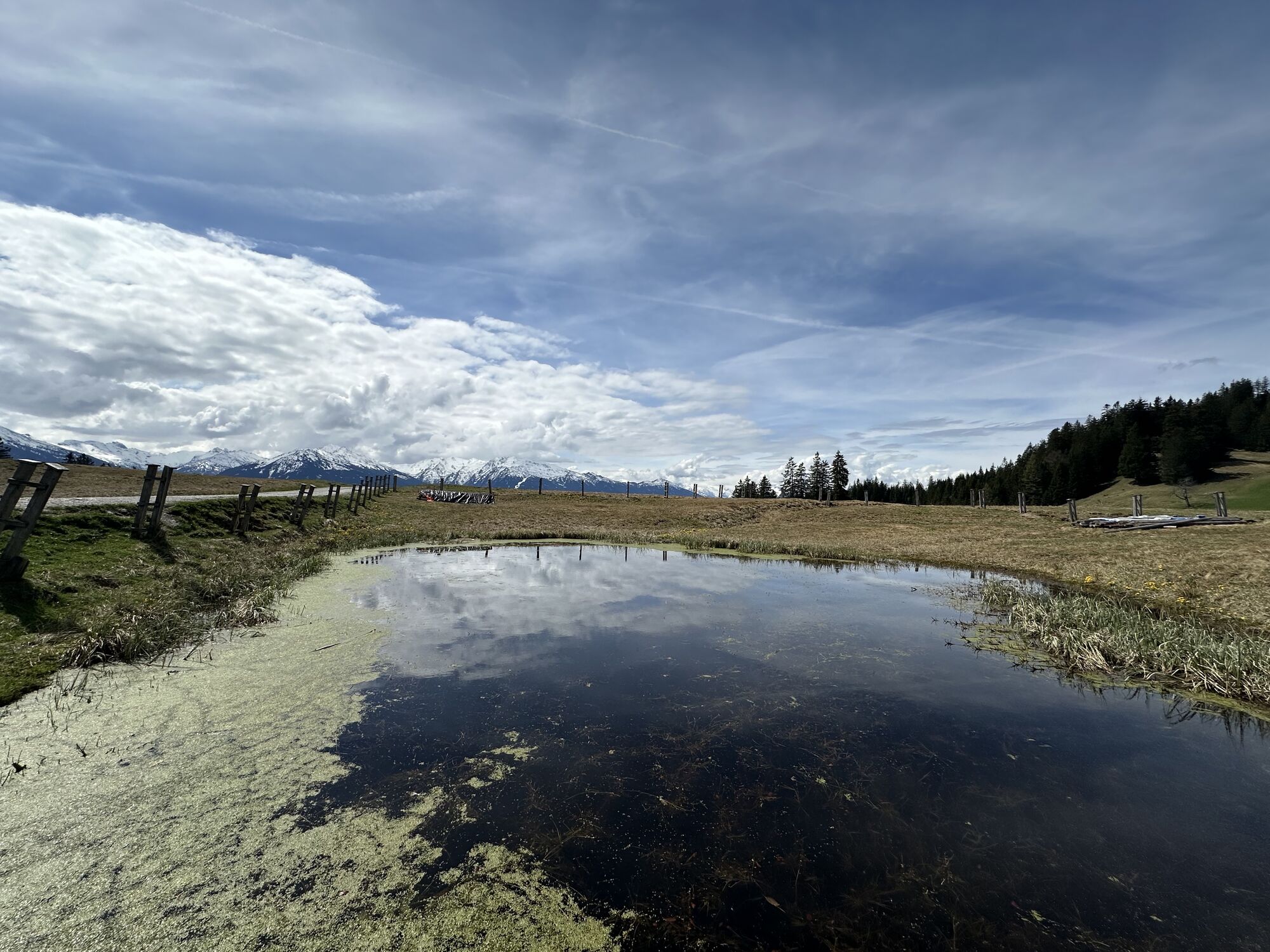
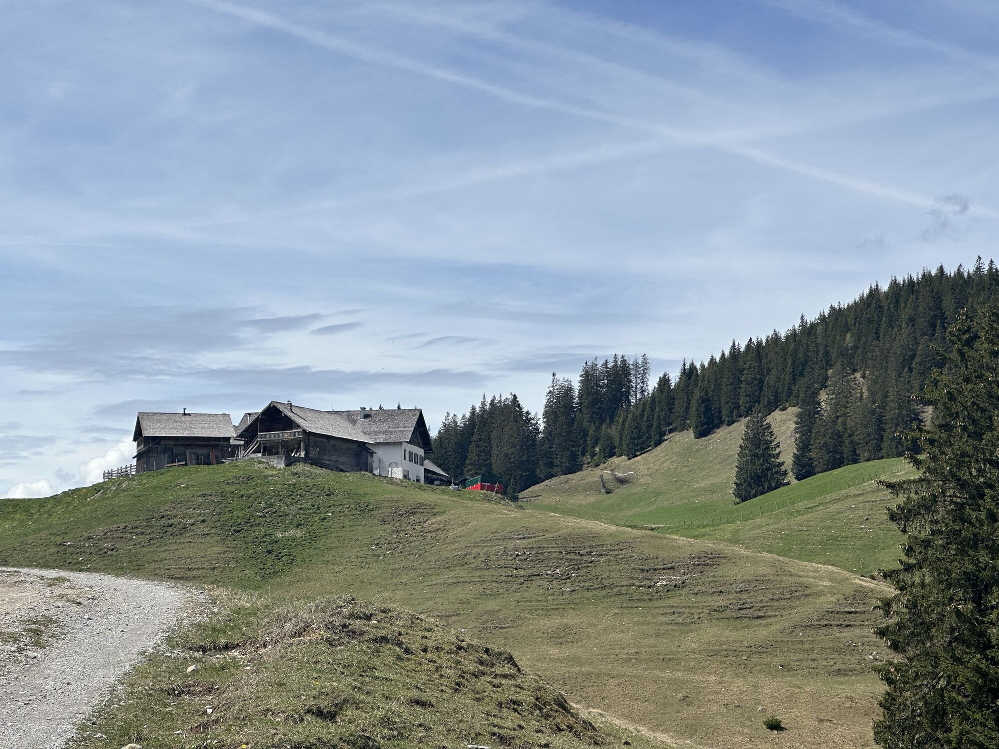
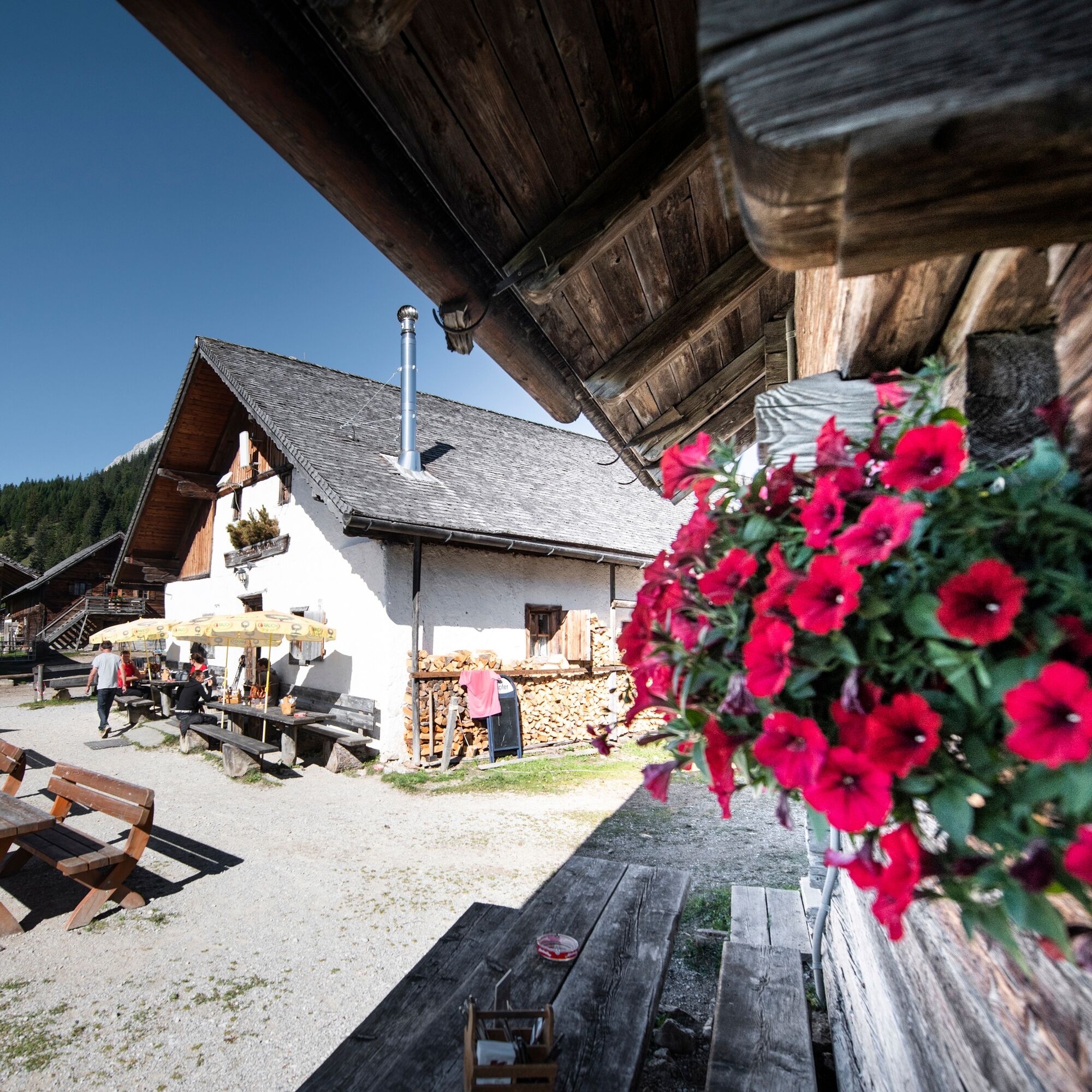
The path continues east along a forest road, following the signs to the Walderalm. At the next fork, continue straight downhill to the next intersection, then left uphill to the Walderalm, where another opportunity to stop and refresh exists.
A short section back and at the fork to the left (at a post with signposts, you can learn about the legend of the hauntings at Walderalm).
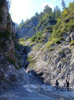
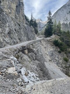
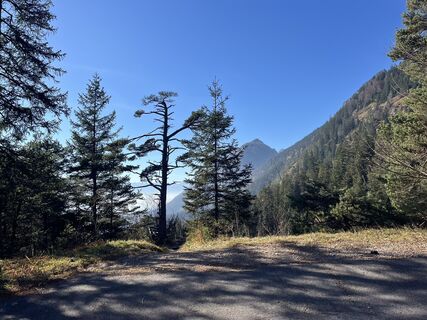
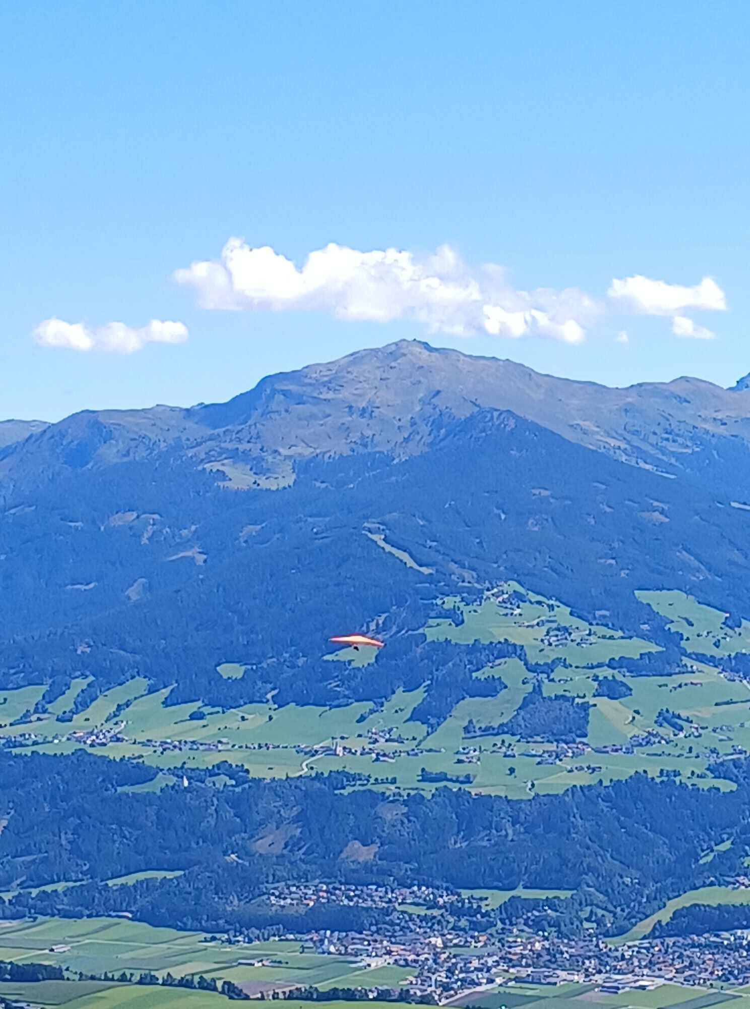
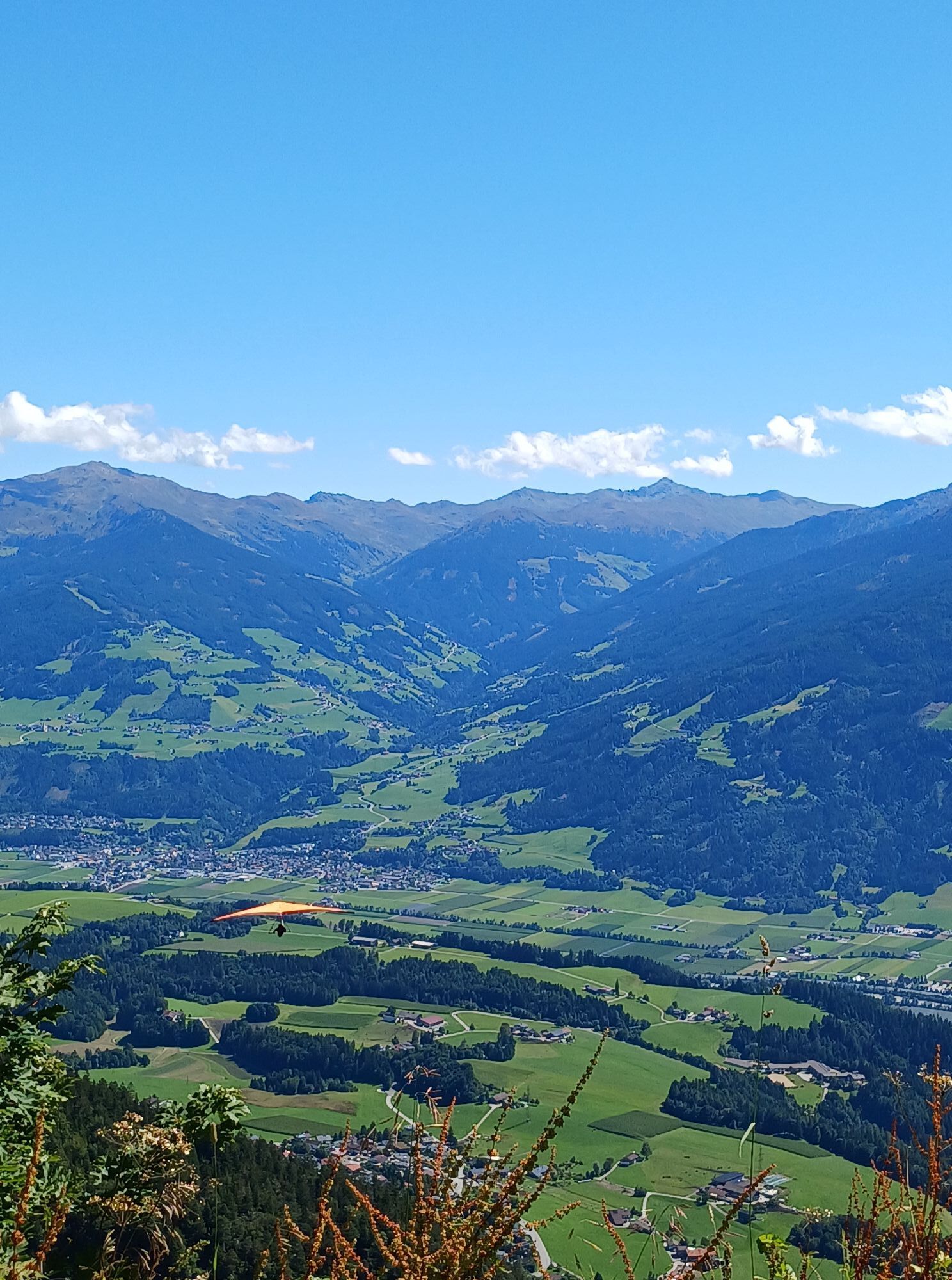
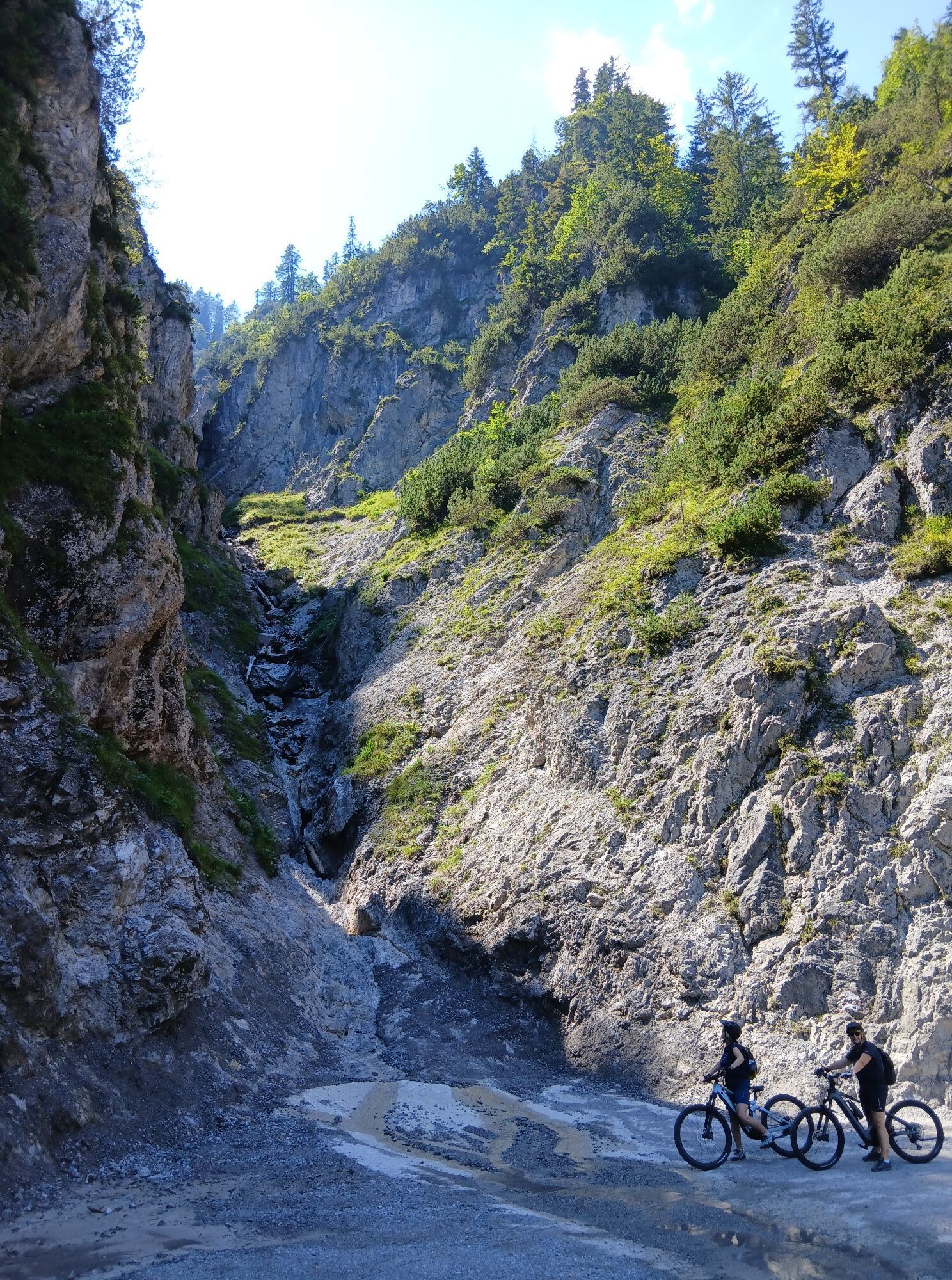
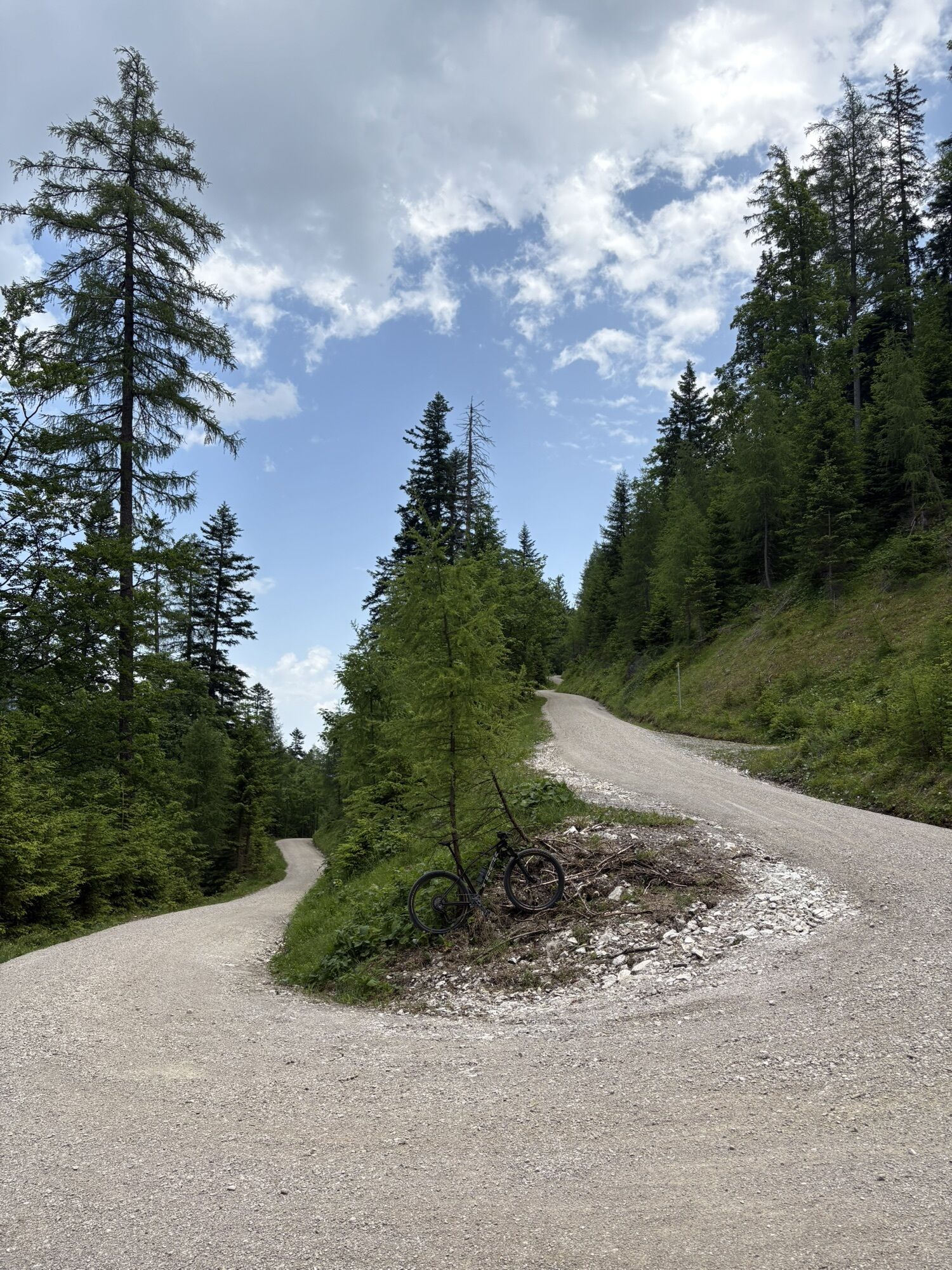
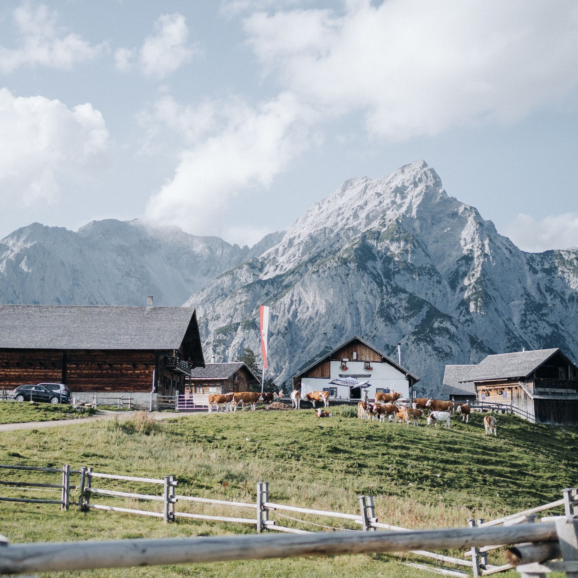
The path now leads 4 km along the forest road down to the Ganalm, where breathtaking views of the Karwendel and the Vomperloch await.
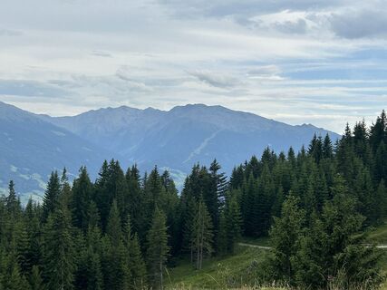
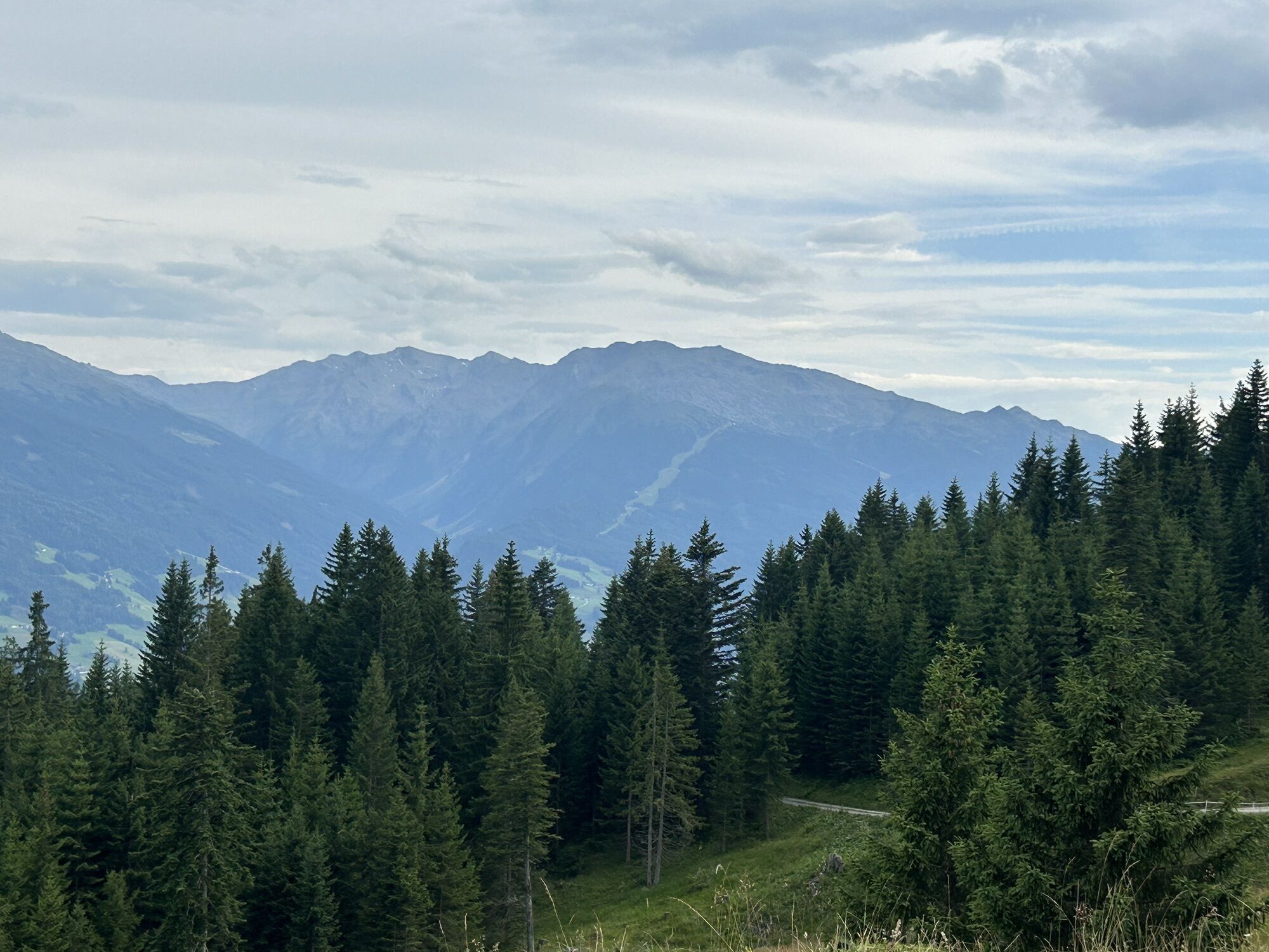
Follow this road further downhill to a barrier. Continue straight ahead to the Umlberg parking lot. Follow the path further to the paved state road that leads to Mairbach. At the next intersection, turn right at the bus stop following the signs to Kranzach (we already know the last section from stage 1). At the next fork, go left uphill, a short stretch through the forest continuing along the edge of the forest to the district of Brantach, which you cross, then further into the open forest. From here, you often have a view of the majestic Tuxer Alps. When you leave the forest, at the next intersection, go right past a hiking parking lot, then immediately left along the paved road, at the next intersection left downhill to the end of this stage at the parking lot in Kranzach with a bus stop.
By bus line 3 to Gnadenwald St. Martin
If you arrive by car, we can issue you a permit card for the parking lot in Gnadenwald for the duration of the Bergsagen long-distance hiking trail: Email request
A túra webkamerái
-
Silberstadt Schwaz
-
Silberstadt Schwaz
-
Silberstadt Schwaz
-
Silberstadt Schwaz
-
Silberstadt Schwaz
-
Wattens - Swarovski Kristallwelten
-
Schiestlhof
-
Swarovski Kristallwelten
-
Swarovski Kristallwelten
-
Swarovski Kristallwelten
-
Swarovski Kristallwelten
-
Swarovski Kristallwelten
-
Schiestlhof
-
Schiestlhof
-
Schiestlhof
-
Schwaz - Silberregion Karwendel
Népszerű túrák a környéken
-
4,5
Wandern zum Bärenkopf
közepesKirándulás 10,9 km -
4,6
To the scenic Hochmahdkopf
közepesKirándulás 8,31 km -
4,6
Gütenberg und Feilkopf
könnyűKirándulás 10,4 km -
4,5
Wolfsklamm über Maria Tax
közepesKirándulás 5,50 km -
4,1
Kellerjoch Hütte - Knappenkapelle
közepesKirándulás 6,70 km -
4,9
4-Gipfel-Tour zum Gilfert
közepesKirándulás 11,2 km -
4,8
Via Ferrata at the Hundskopf
nehézVia ferrata 2,18 km -
3,7
To the alpine inn St. Magdalena in the Halltal
közepesKirándulás 7,24 km -
4,5
Sonnjoch
közepesKirándulás 11,2 km -
4,9
3 Almen Karwendelrunde MTB Route 408
nehézMountainbike 23,8 km

Túrázás & nyomkövetés


Ne maradjon le az ajánlatokról és az inspirációról a következő nyaralásához!
Az Ön e-mail címe hozzá lett adva a levelezőlistához.