


Winnebach Round - Längenfeld/Gries


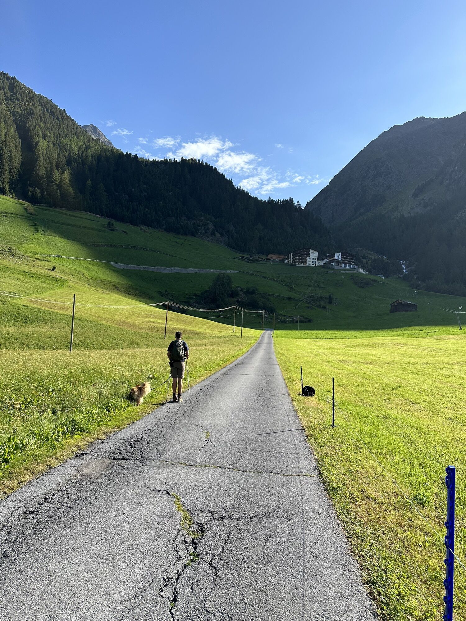
From the parking lot at the end of Gries, the path runs flat through the meadows into the Sulztal. After a few minutes of walking, you reach the junction to the hamlet of Winnebach. This path, which branches...
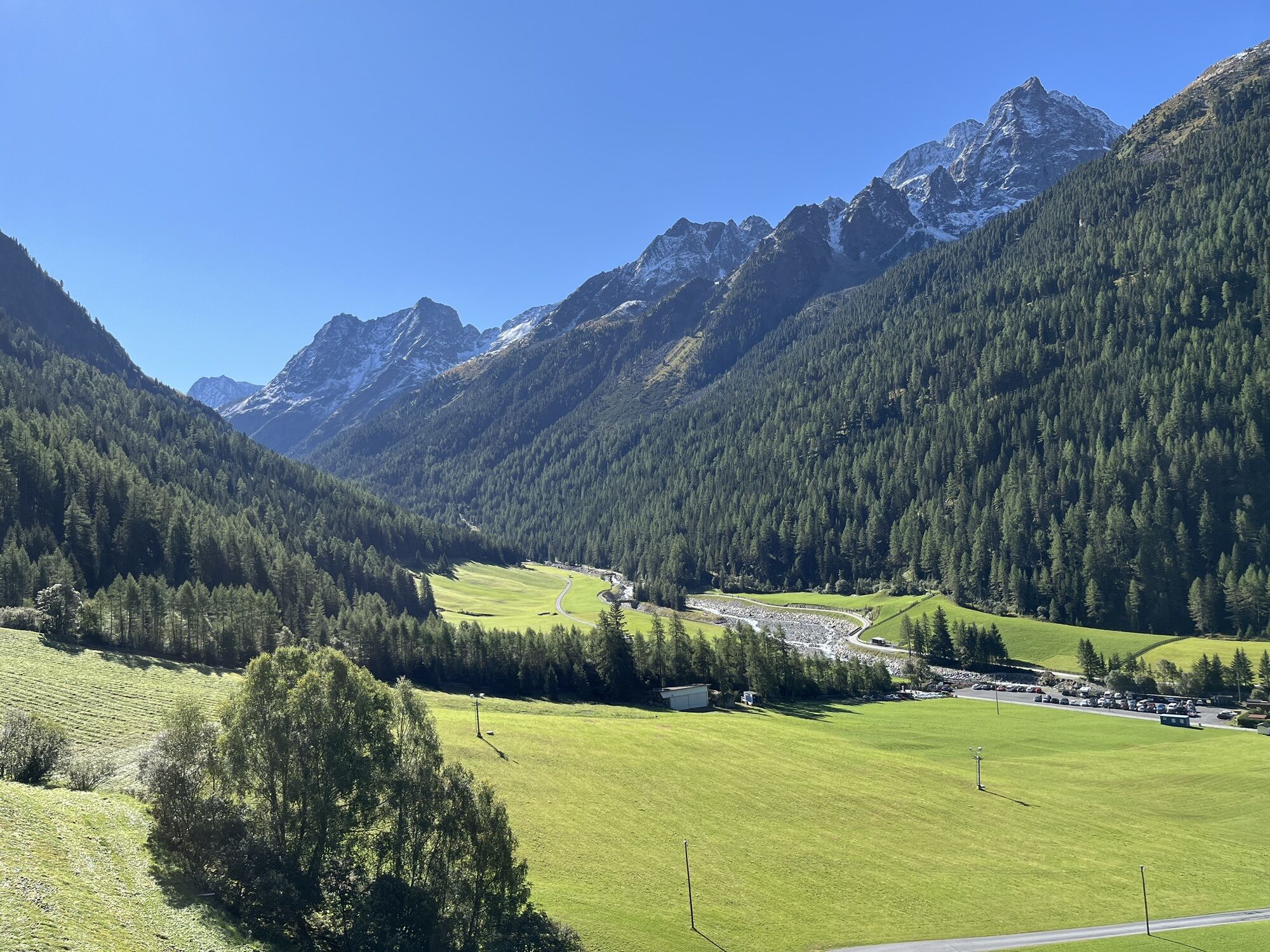
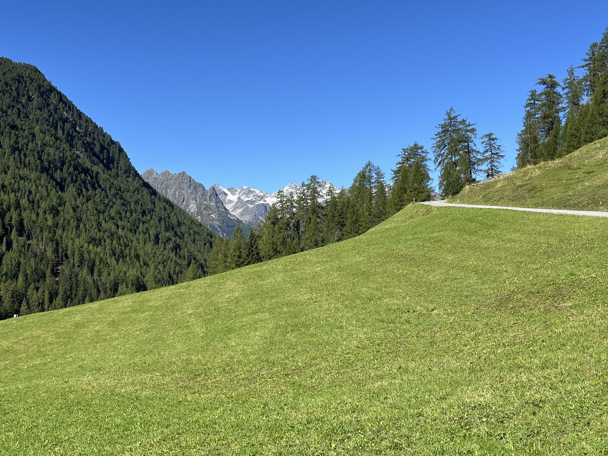
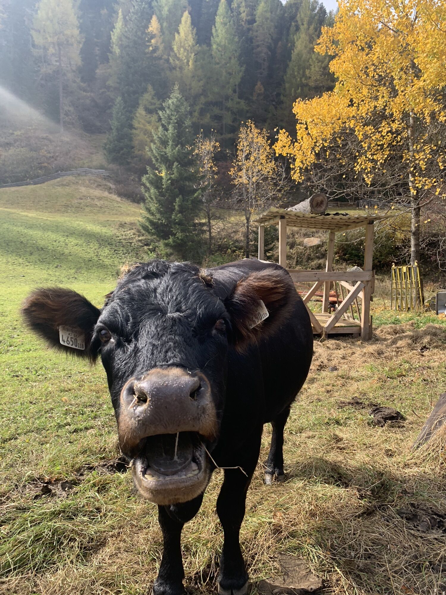
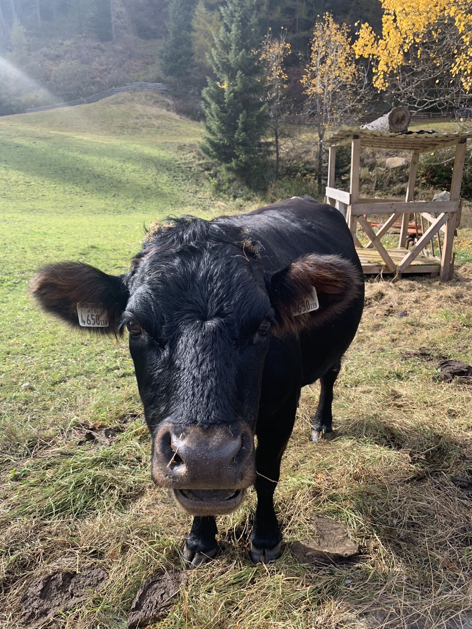
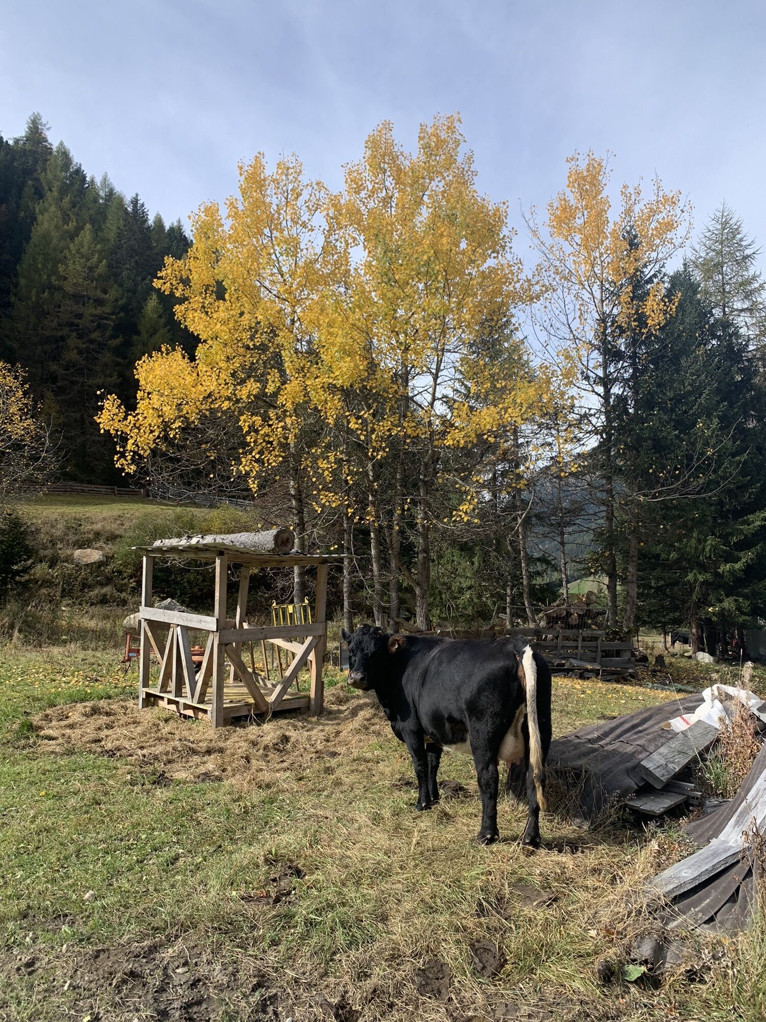
From the parking lot at the end of Gries, the path runs flat through the meadows into the Sulztal. After a few minutes of walking, you reach the junction to the hamlet of Winnebach. This path, which branches off to the left, shows a steady incline. At the top, you enjoy a wonderful panoramic view of the village. The return is via the access road which is, however, very lightly trafficked.


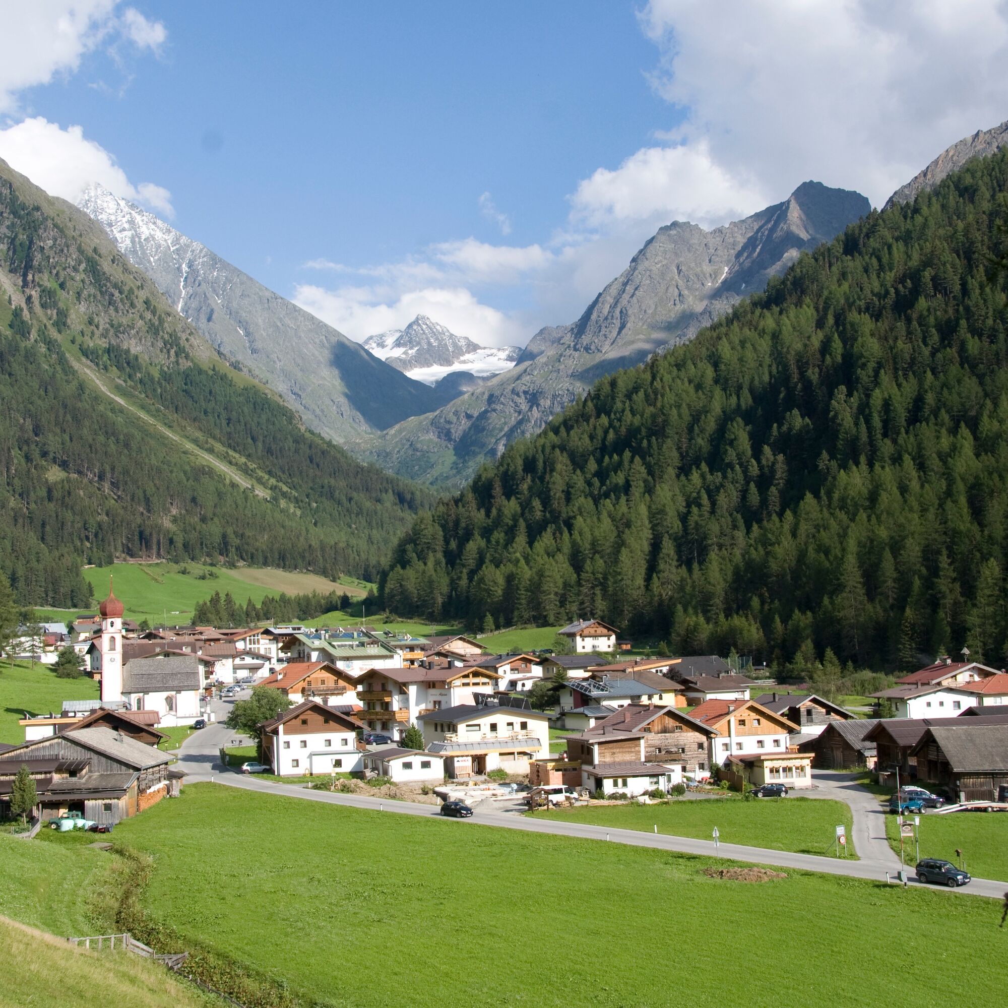
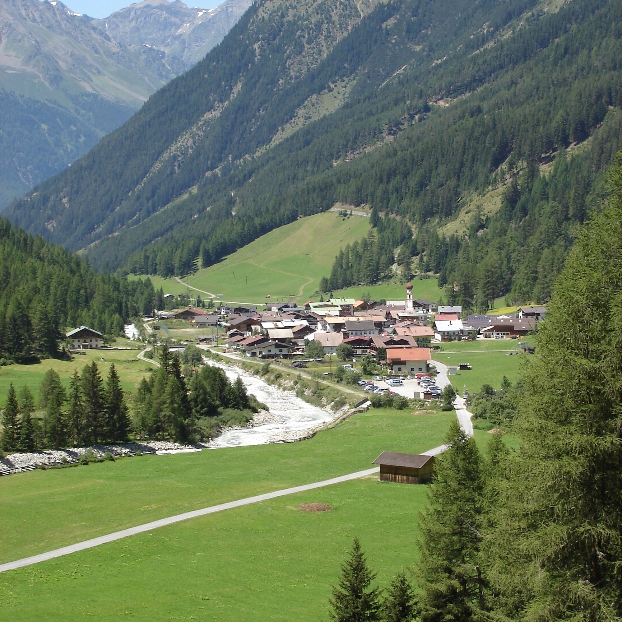
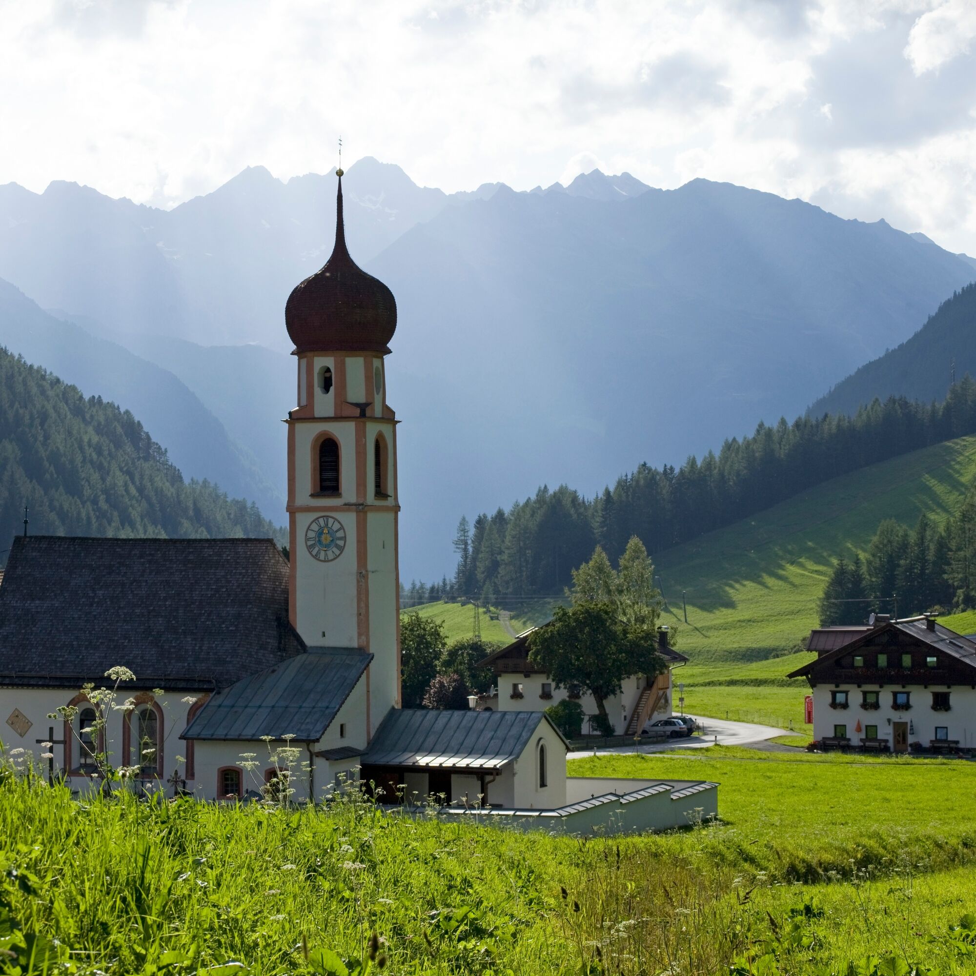
From the parking lot in Gries, follow the signs into the Sulztal. After a few minutes of walking, the path branches off to the left towards Winnebach. Follow this steadily ascending path up to the hamlet of Winnebach. The return route takes place on the access road.
Igen
Appropriate equipment such as breathable suitable outdoor clothes for the weather.
Easy hiking trail; suitable for beginners and walkers. Please pay attention to the current weather report.
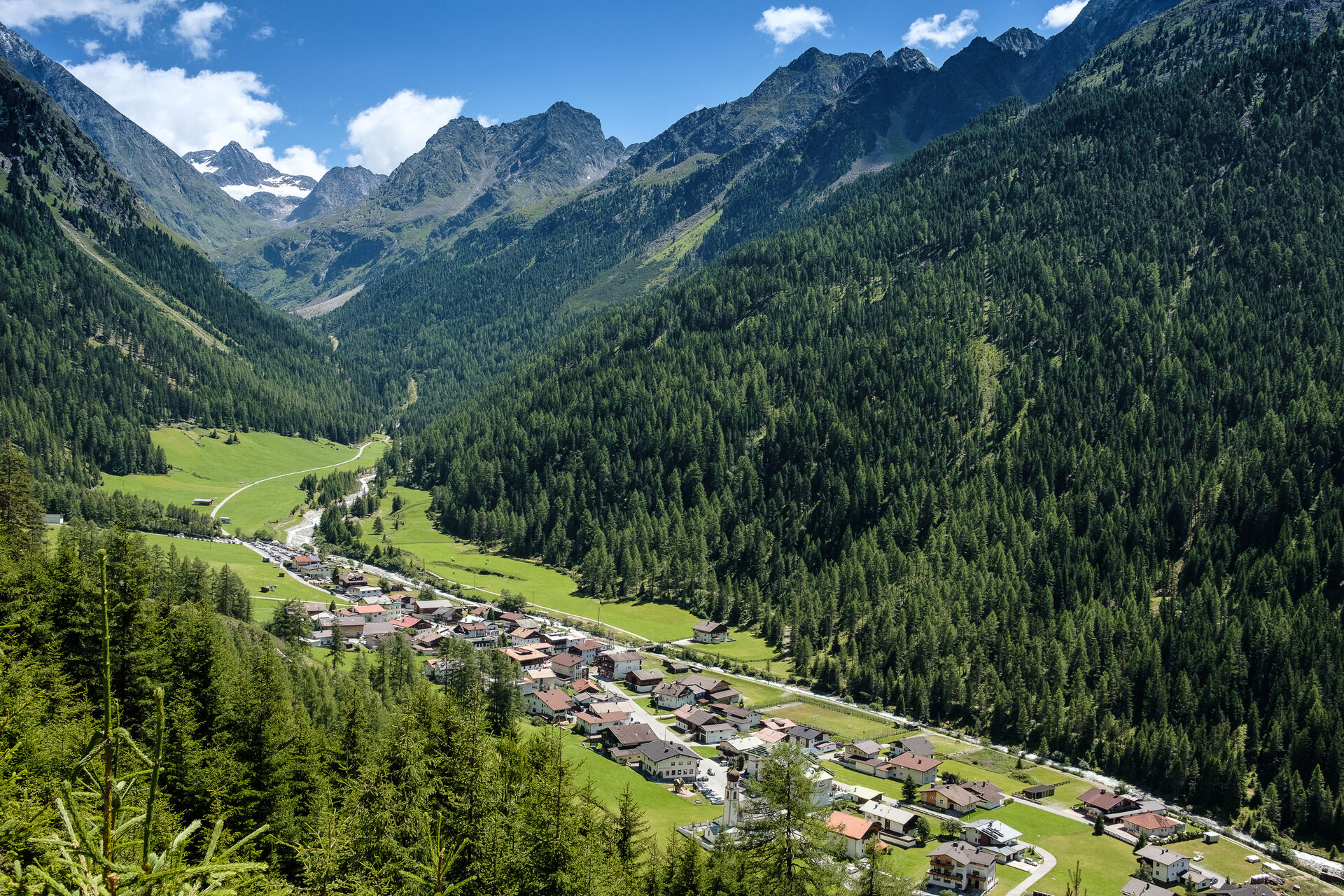
Driving to ÖTZTAL
The car journey leads travelers through the Inn valley to the entrance of the valley and further along the Ötztal. In addition to the tolled highway, country roads can also be used. Your journey can be quickly and conveniently planned with the route planner. To the route planner: https://www.google.at/maps
Travel comfortably and safely by train. The final stop or exit point is ÖTZTAL station. Afterwards, you can travel conveniently and quickly to your desired destination through the entire valley using public transport or local taxi companies.
The current bus timetable is available at: http://fahrplan.vvt.at
The following parking options are available:
At the edge of Gries - for a fee At the pilgrimage church in Gries - free of charge
More information about hiking in the Ötztal can be found here.
Népszerű túrák a környéken
-
4,7
Winnebachsee Hut – Längenfeld/Gries
közepesKirándulás 4,74 km -
4,2
Hike Stuibenfall - Umhausen
könnyűKirándulás 2,95 km -
4,7
Wilde Wasser Weg - Fortgeschritten
közepesKirándulás 12,0 km -
4,4
Stuibenfall Umhausen circular hike
könnyűKirándulás 9,32 km -
4,9
Blaue Lacke
közepesKirándulás 5,22 km -
5,0
Larstigalm - Niederthai
könnyűKirándulás 3,24 km -
4,5
Amberger Hut - Längenfeld/Gries
közepesKirándulás 5,60 km -
5,0
Dresdner hütte - sulzenauerhütte
közepesKirándulás 12,1 km -
3,4
Peerler Lake
közepesKirándulás 12,6 km -
4,7
Umhausen - Stuibenfall - Umhausen
közepesKirándulás 7,94 km
Túrázás & nyomkövetés


Ne maradjon le az ajánlatokról és az inspirációról a következő nyaralásához!
Az Ön e-mail címe hozzá lett adva a levelezőlistához.