


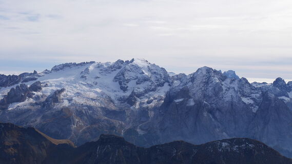
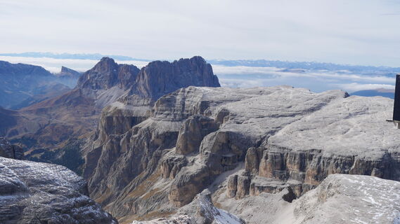
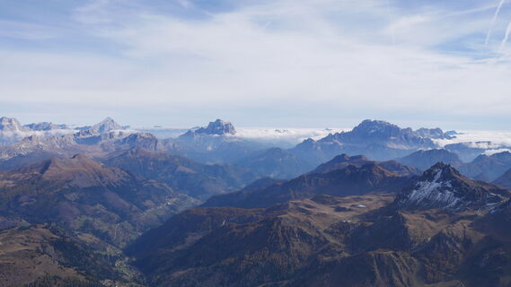
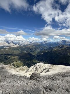
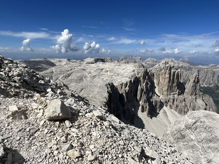
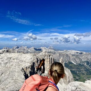
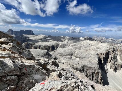
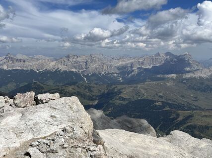
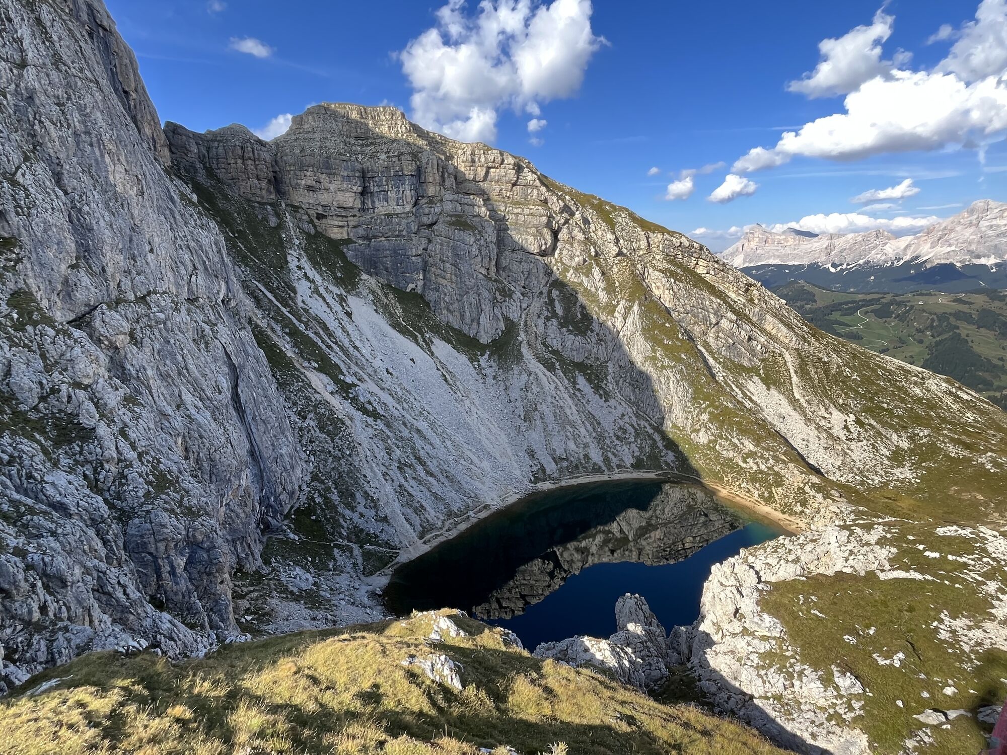
Crossing of the "Sella" group


Fotók felhasználóinkról
-
 © Kirill KorovinLétrehozta a 24.09.2023
 -
 © Kirill KorovinLétrehozta a 24.09.2023
 -

 © LeaLétrehozta a 19.10.2025
 -
 © LeaLétrehozta a 19.10.2025
 -
 © LeaLétrehozta a 19.10.2025
 -

 © Rouven SchwarkLétrehozta a 19.10.2025
 -
 © Rouven SchwarkLétrehozta a 19.10.2025
 -
 © Rouven SchwarkLétrehozta a 19.10.2025
 -
 © Rouven SchwarkLétrehozta a 19.10.2025
 -
 © LeaLétrehozta a 19.10.2025
 -
 © LeaLétrehozta a 19.10.2025
 -
 © Pawel MeusLétrehozta a 04.09.2025
 -
 © Pawel MeusLétrehozta a 04.09.2025
 -
 © Pawel MeusLétrehozta a 04.09.2025
 -
 © Pawel MeusLétrehozta a 04.09.2025
 -
 © Pawel MeusLétrehozta a 04.09.2025
 -
 © WidoLétrehozta a 04.09.2025
 -
 © WidoLétrehozta a 04.09.2025
 -

 © Antonio StefanileLétrehozta a 10.08.2025
 -
 © Sherpa 960Létrehozta a 29.07.2025
 -
 © Sherpa 960Létrehozta a 29.07.2025
 -
 © Stefan OttoLétrehozta a 21.07.2025
 -
 © Stefan OttoLétrehozta a 20.07.2025
 -

 © Les aventures de GhislainLétrehozta a 12.09.2023
 -
 © Les aventures de GhislainLétrehozta a 12.09.2023
 -
 © Les aventures de GhislainLétrehozta a 12.09.2023
 -
 © Les aventures de GhislainLétrehozta a 12.09.2023
 -
 © Les aventures de GhislainLétrehozta a 12.09.2023
 -
 © Les aventures de GhislainLétrehozta a 12.09.2023
 -
 © Les aventures de GhislainLétrehozta a 12.09.2023
 -
 © Les aventures de GhislainLétrehozta a 12.09.2023
 -
 © Les aventures de GhislainLétrehozta a 12.09.2023
 -
 © Les aventures de GhislainLétrehozta a 12.09.2023
 -
 © Les aventures de GhislainLétrehozta a 12.09.2023
 -
 © Les aventures de GhislainLétrehozta a 12.09.2023
 -
 © Les aventures de GhislainLétrehozta a 12.09.2023
 -
 © Les aventures de GhislainLétrehozta a 12.09.2023
 -
 © Les aventures de GhislainLétrehozta a 12.09.2023
 -
 © Les aventures de GhislainLétrehozta a 12.09.2023
 -
 © Les aventures de GhislainLétrehozta a 12.09.2023
 -
 © Jurgen AmelinckxLétrehozta a 30.05.2024
 -
 © Jurgen AmelinckxLétrehozta a 30.05.2024
 -
 © Jurgen AmelinckxLétrehozta a 30.05.2024
 -
 © Kirill KorovinLétrehozta a 24.09.2023
 -
 © Kirill KorovinLétrehozta a 24.09.2023
 -
 © Vida BurjaLétrehozta a 06.09.2025
 -
 © Xhelal TopalliLétrehozta a 10.08.2025
 -
 © Xhelal TopalliLétrehozta a 10.08.2025


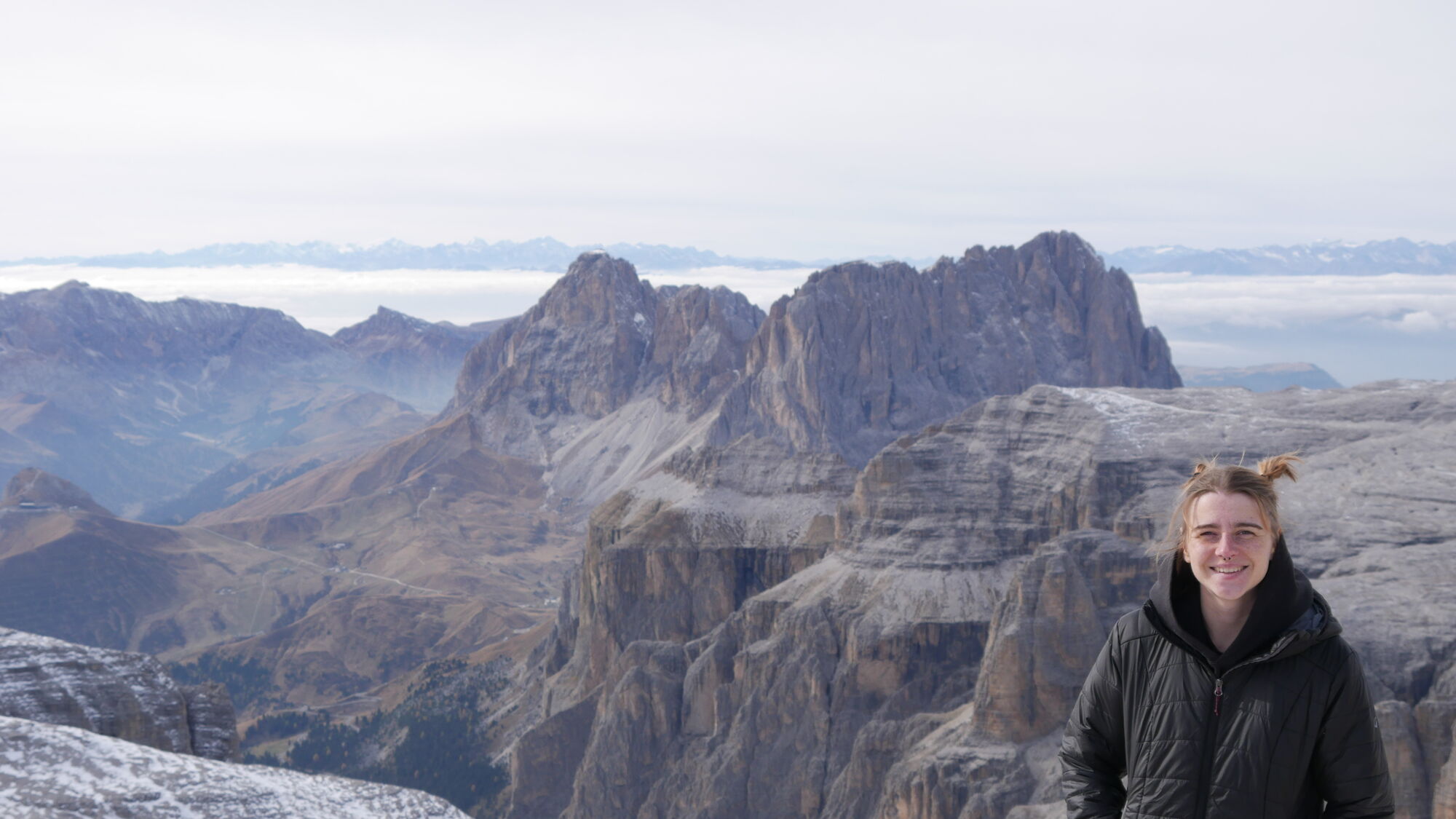


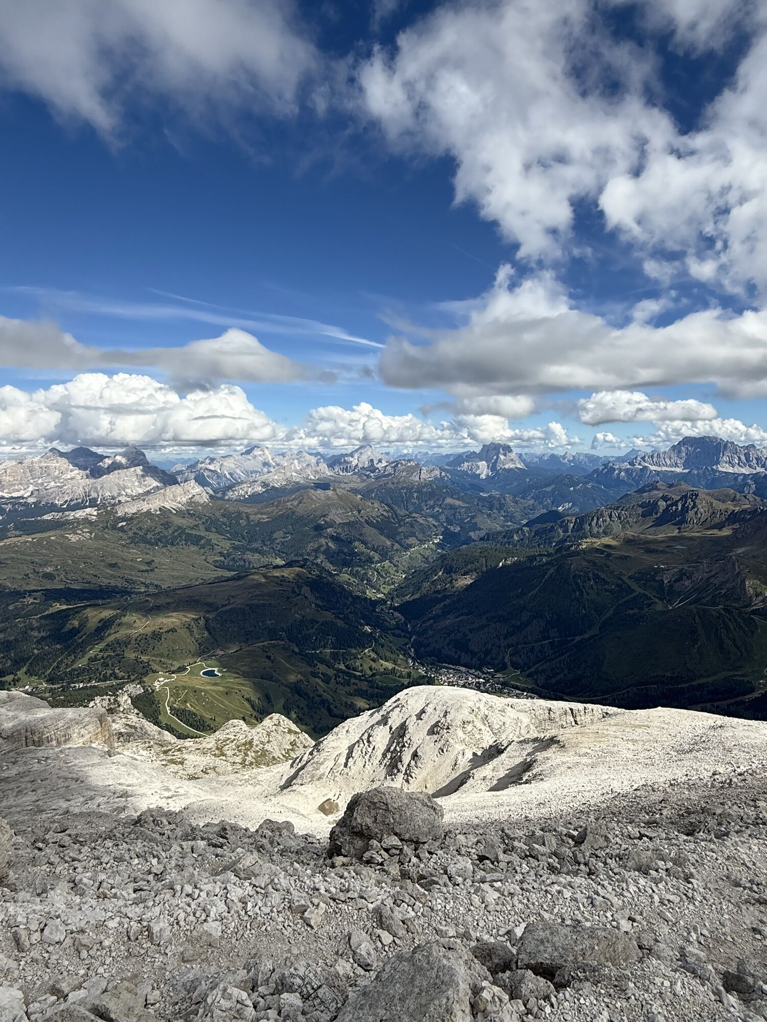


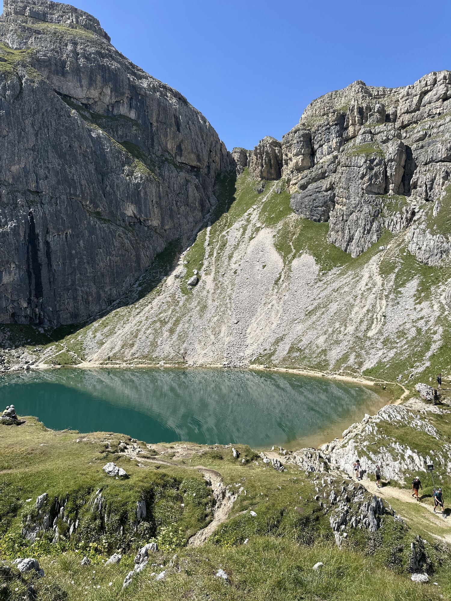


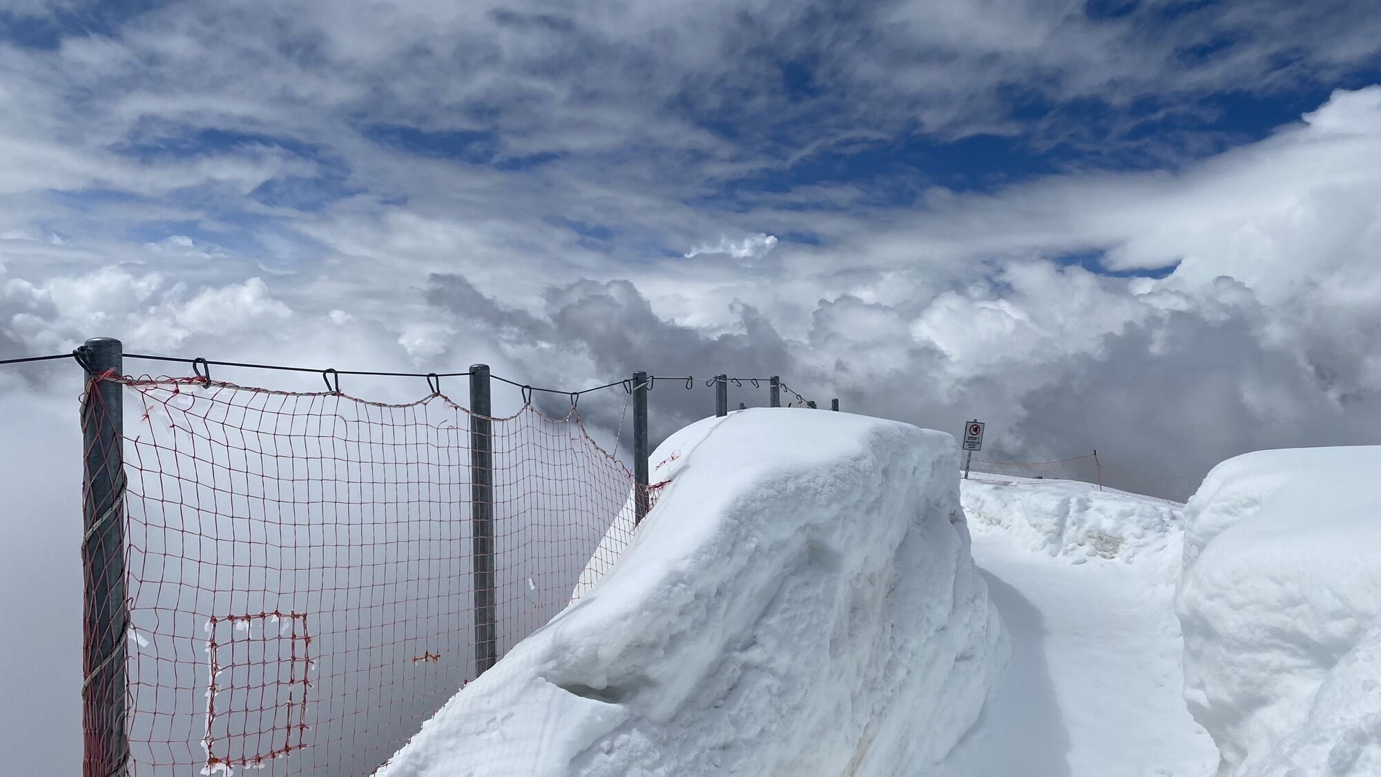
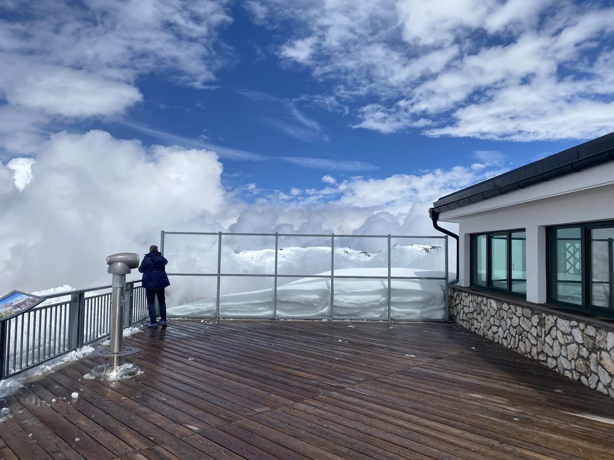


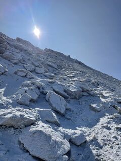
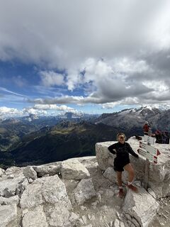
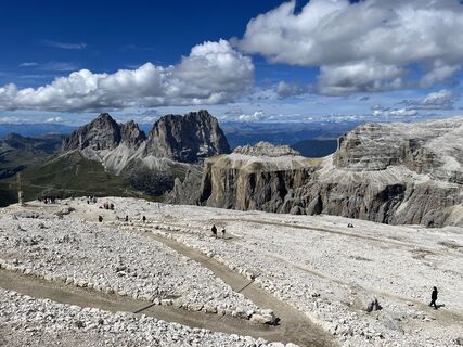
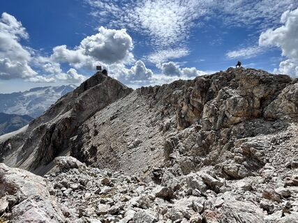
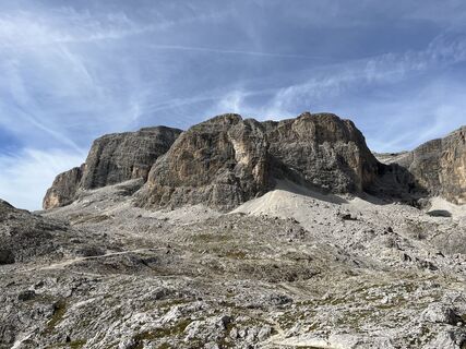
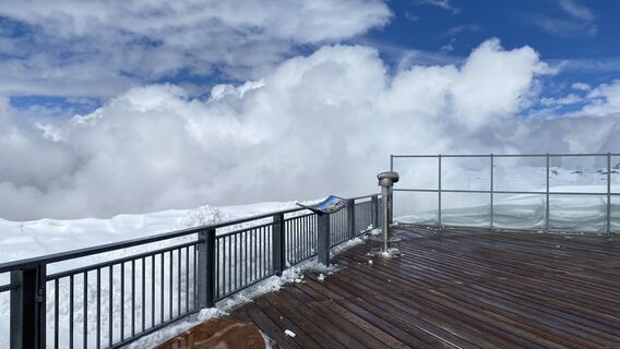
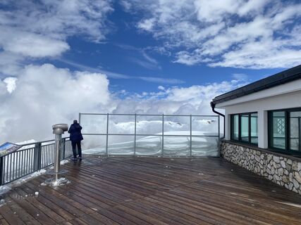
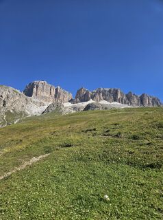
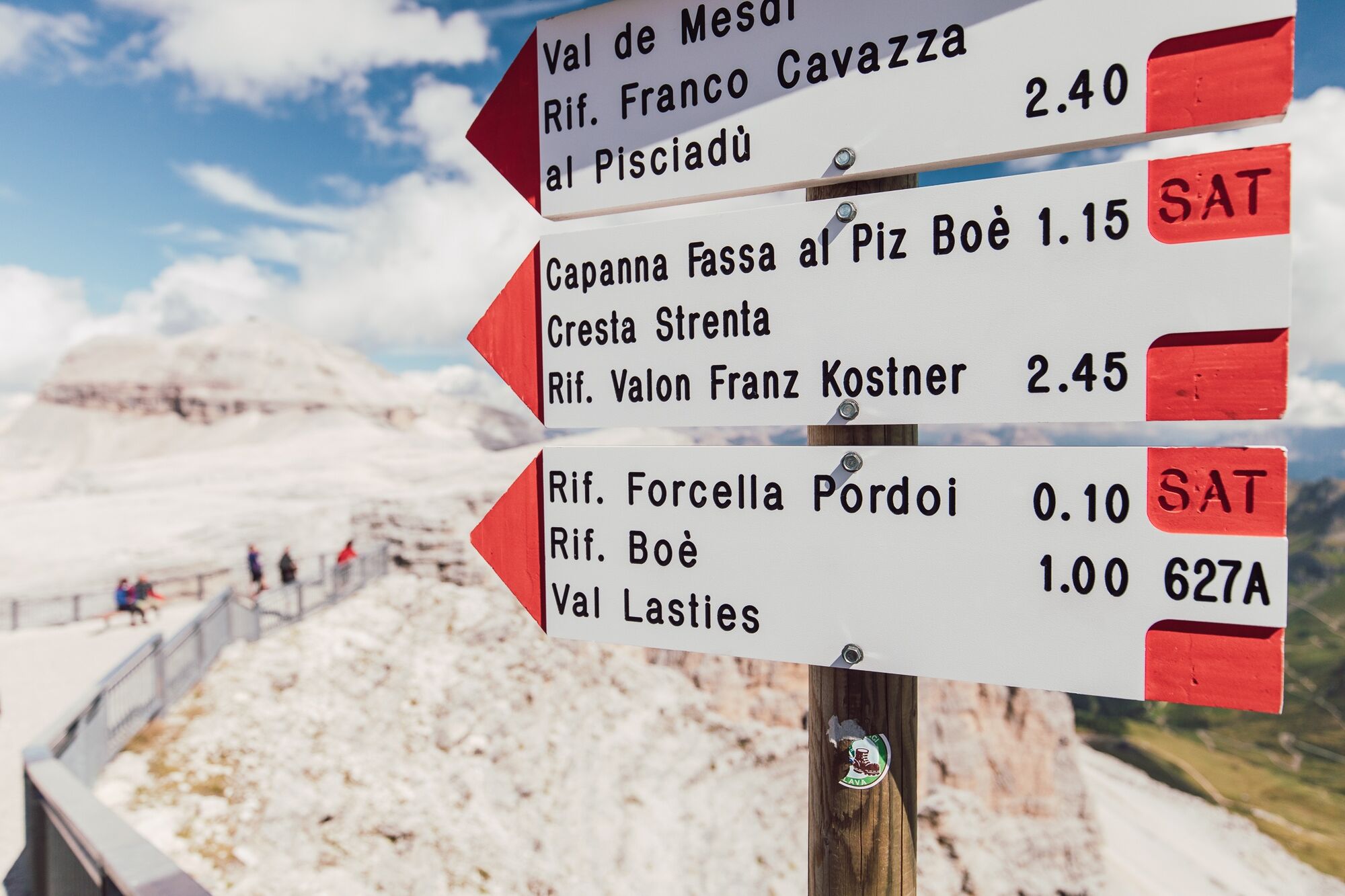
Departure from "Arabba" by bus to the "Pordoi" pass, from here take the "Sass Pordoi" cable car to the famous panoramic terrace at 2,950 m above sea level.
From here, first continue on trail no. 627, then...
Departure from "Arabba" by bus to the "Pordoi" pass, from here take the "Sass Pordoi" cable car to the famous panoramic terrace at 2,950 m above sea level.
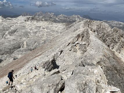
From here, first continue on trail no. 627, then no. 638 in the direction of "Piz Boè".
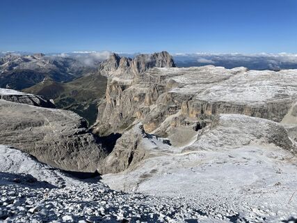
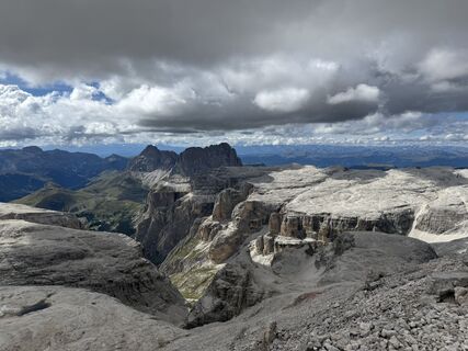
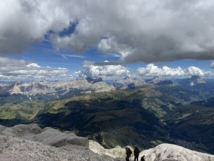
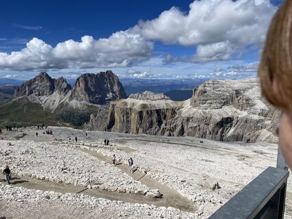
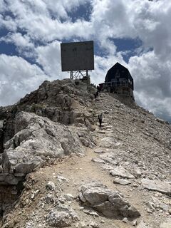
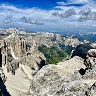
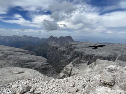
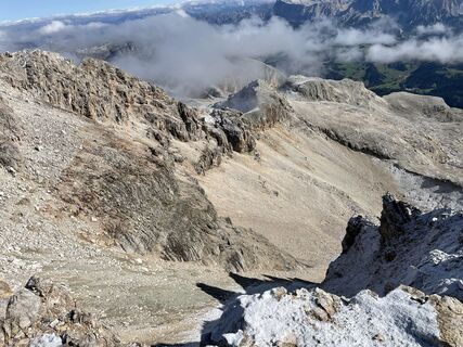
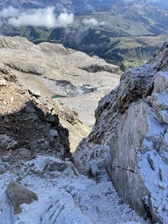
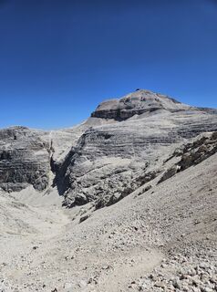
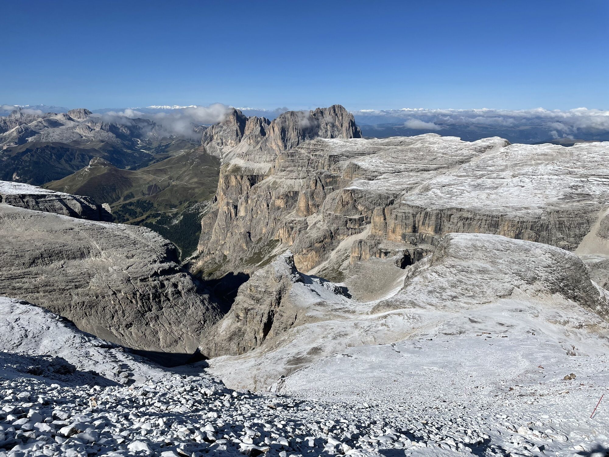
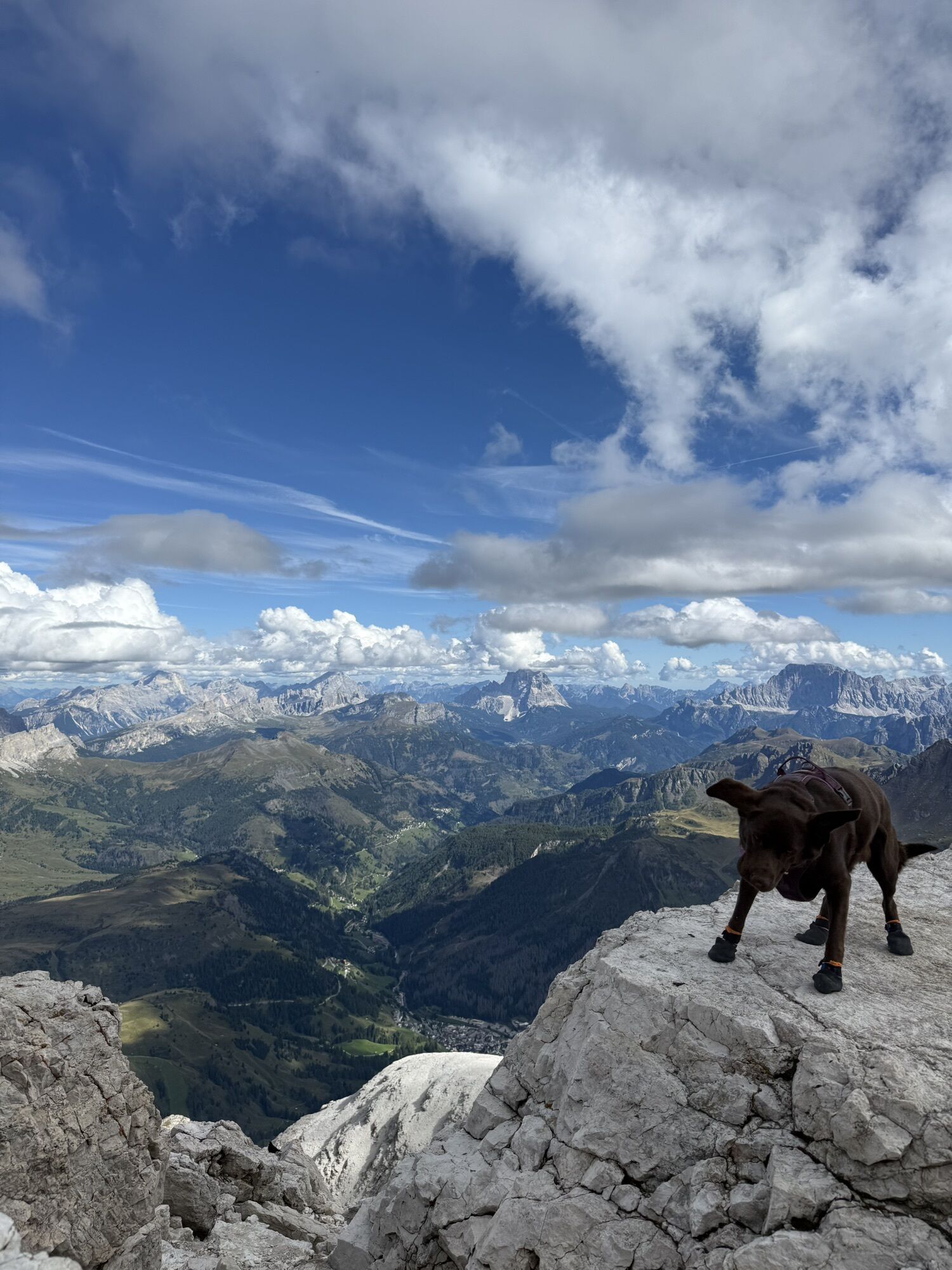
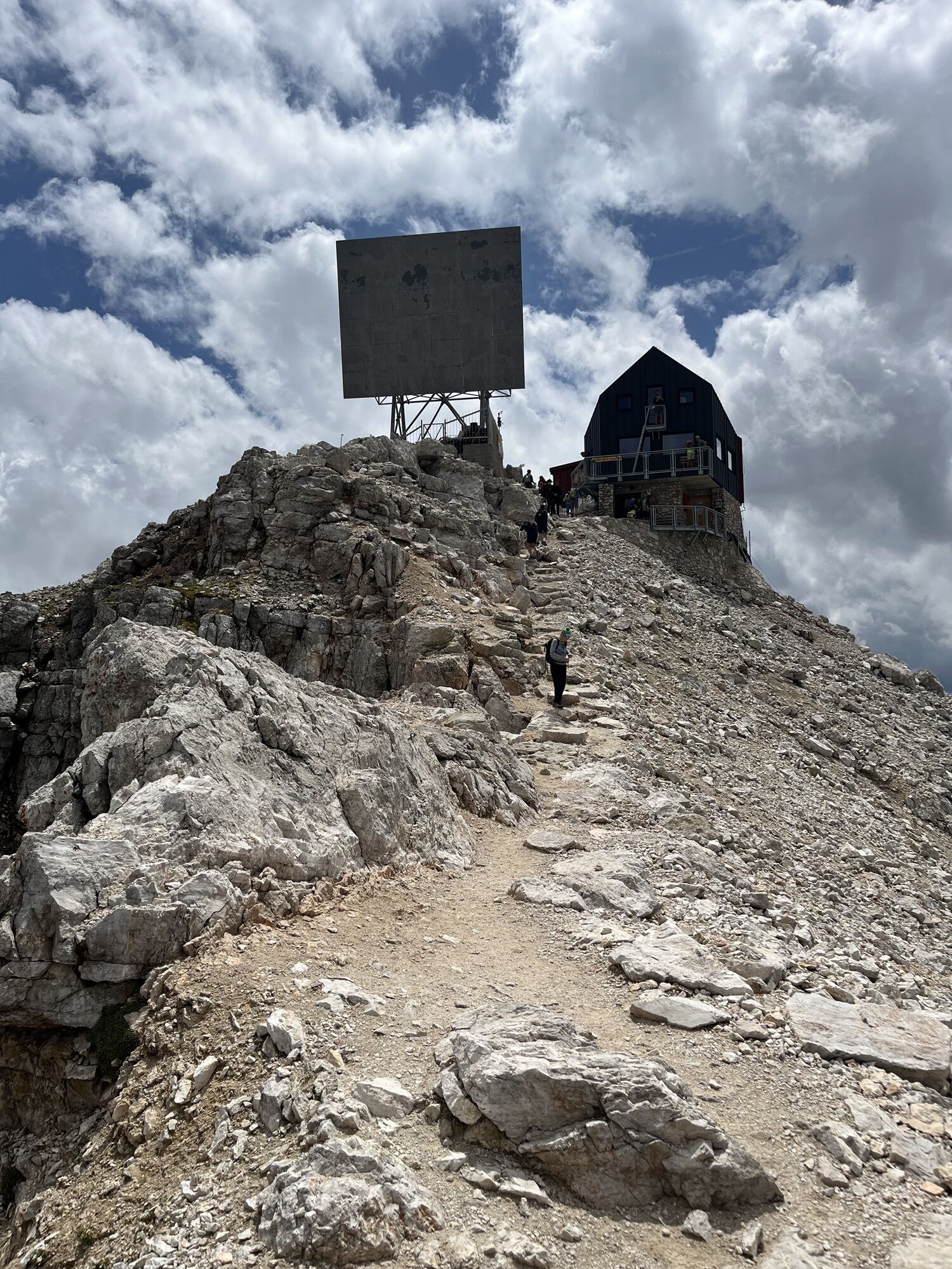
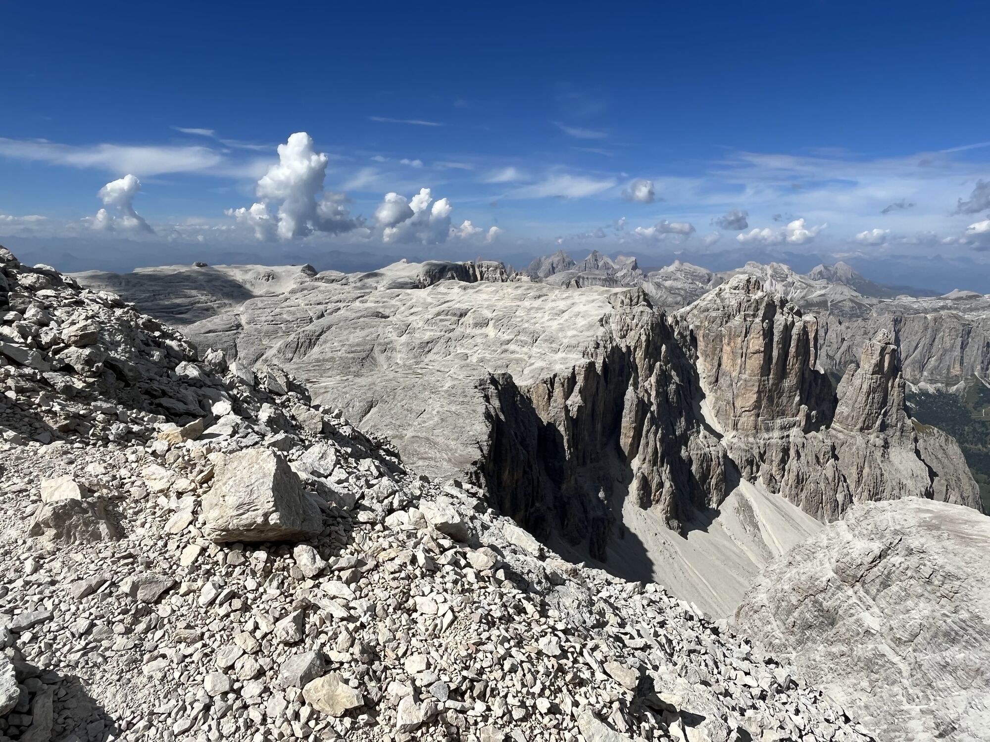
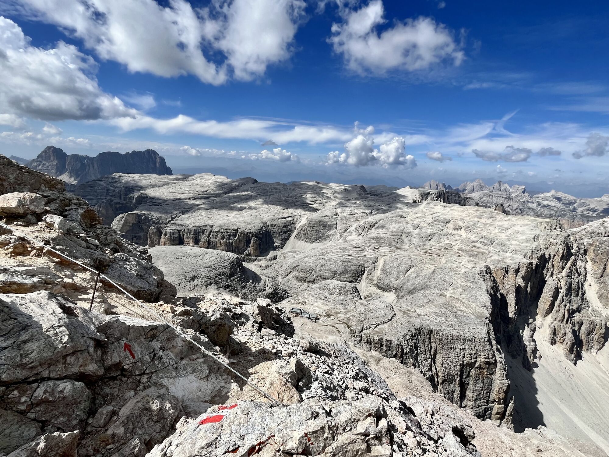
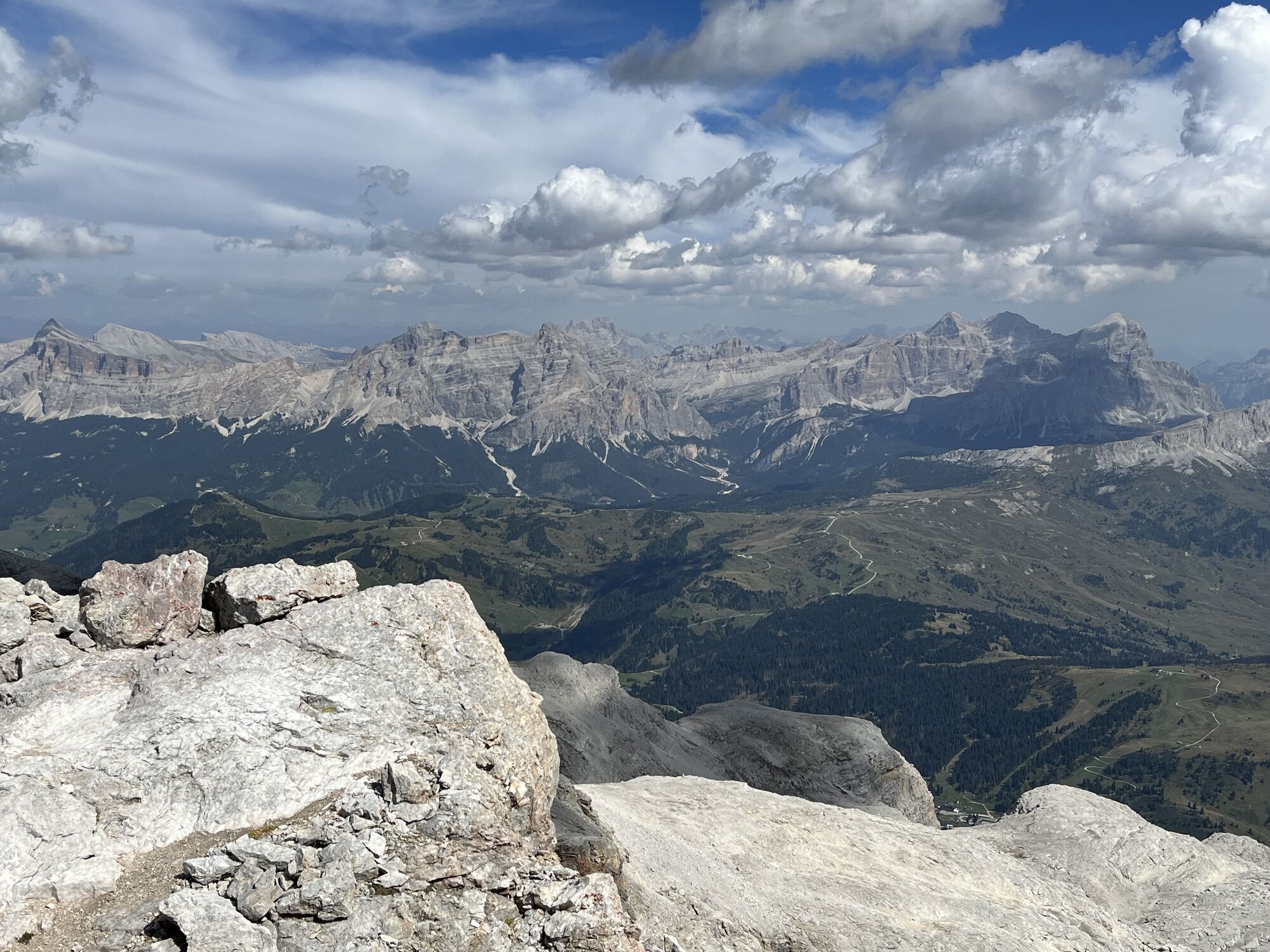
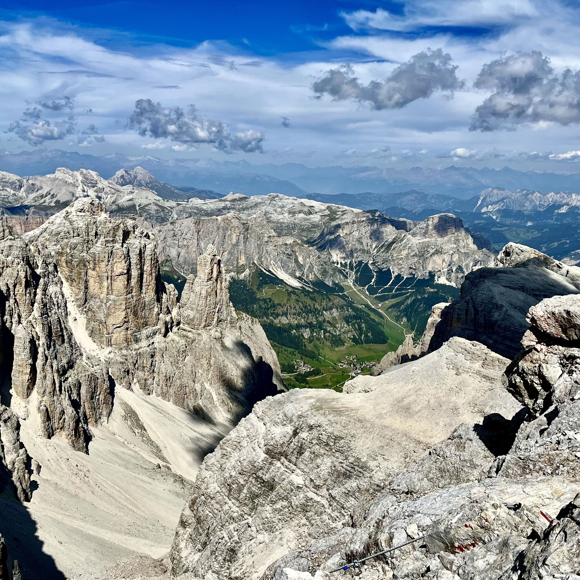
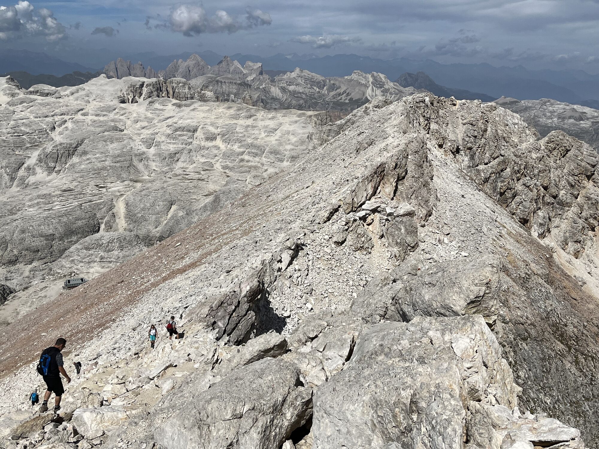
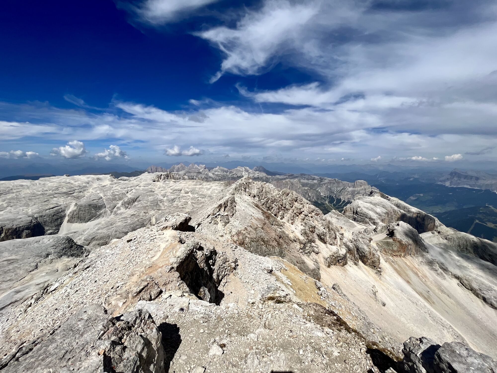
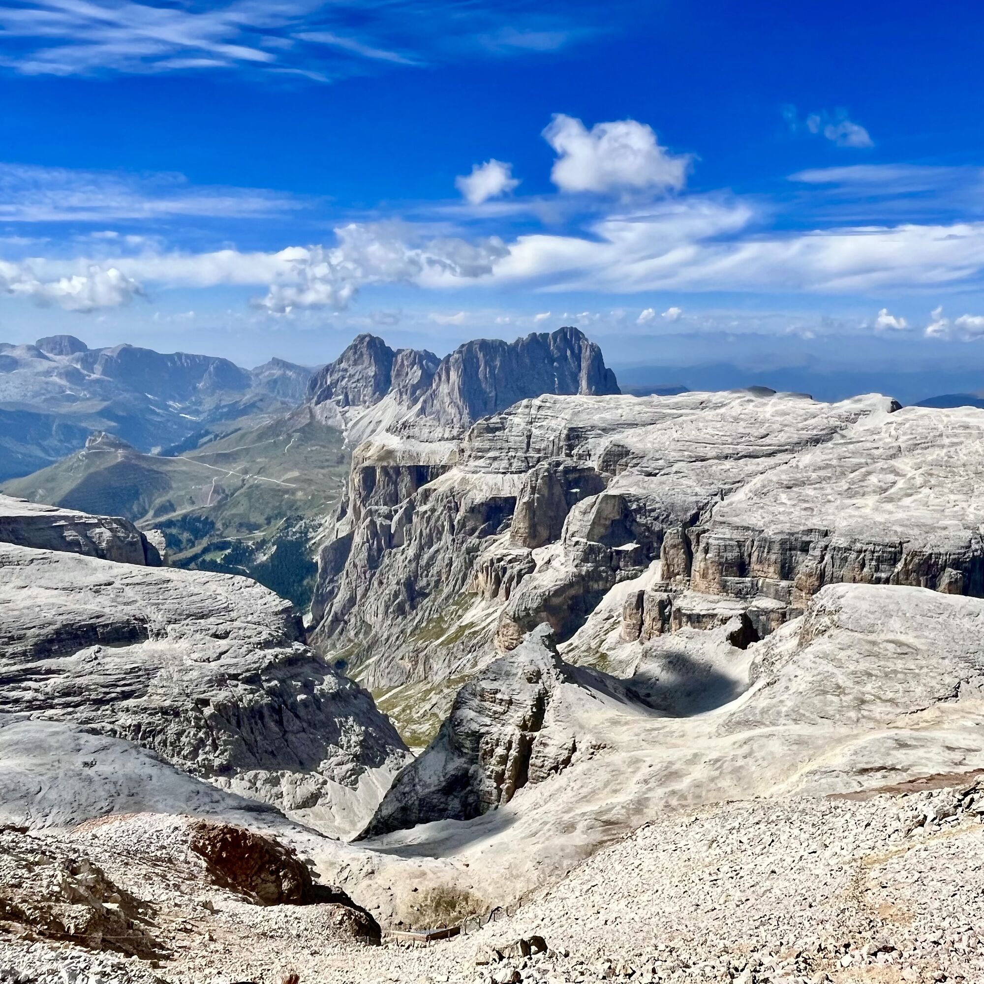
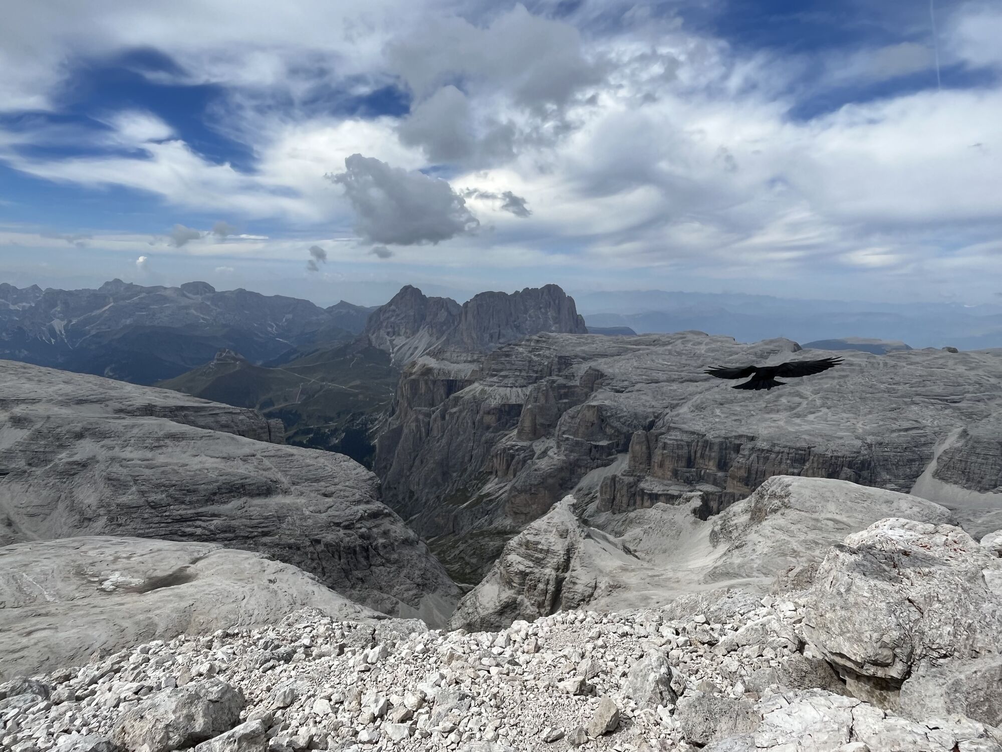
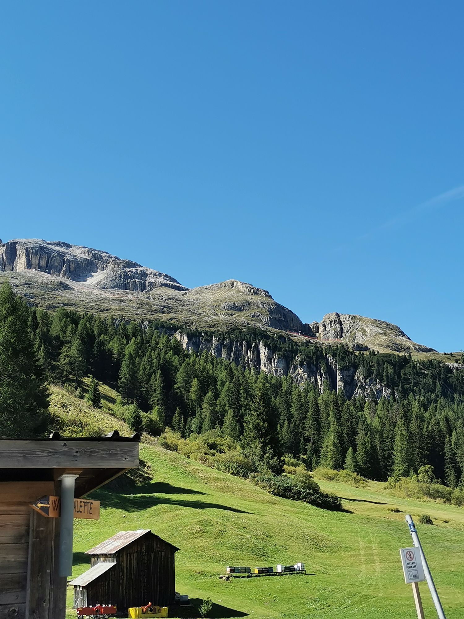
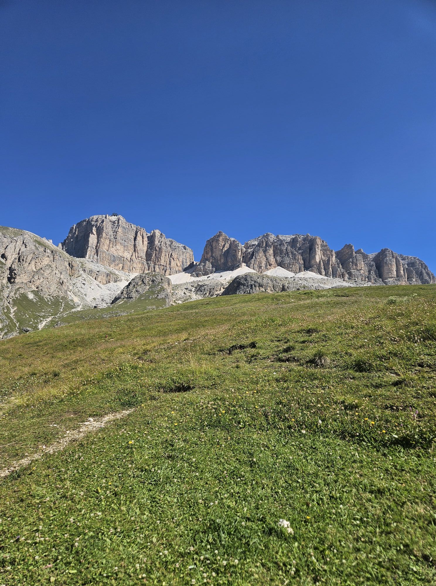
Once at the top at 3,152 m, we recommend a break to refresh yourself and admire the most beautiful peaks of the Dolomites, with a 360° panorama of rare beauty. Continue along trail no. 638 and no. 637 towards the "Bec de Roces".
When you arrive at the "Bec de Roces", take the chairlift that will take you to the "Campolongo" pass and the bus to return to "Arabba".
If you prefer, you can return to "Arabba" on foot via path no. 637 from "Bec de Roces".


Clockwise tour: Departure from "Arabba" by bus to the "Pordoi" pass, from there with the "Sass Pordoi" cable car to the famous panoramic terrace at 2,950 m above sea level.
From here, continue on trail no. 627 and no. 638 towards "Piz Boè". Once at the top at 3,152 m, we recommend a break for refreshment and to admire the most beautiful peaks of the Dolomites, with a 360° panorama of rare beauty. The route continues along paths n. 638 and n. 637 towards "Bec de Roces".
Once at "Bec de Roces", take the chairlift that will take you to the "Campolongo" pass and the bus to return to "Arabba".
If you prefer, you can return to "Arabba" on foot via path no. 637 from "Bec de Roces".
Anticlockwise tour: from the centre of "Arabba" take the bus up to the "Campolongo" pass and then the "Bec De Roces" chairlift. At the top, take path no. 637 and no. 638 towards "Bec De Roces".
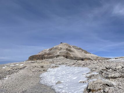
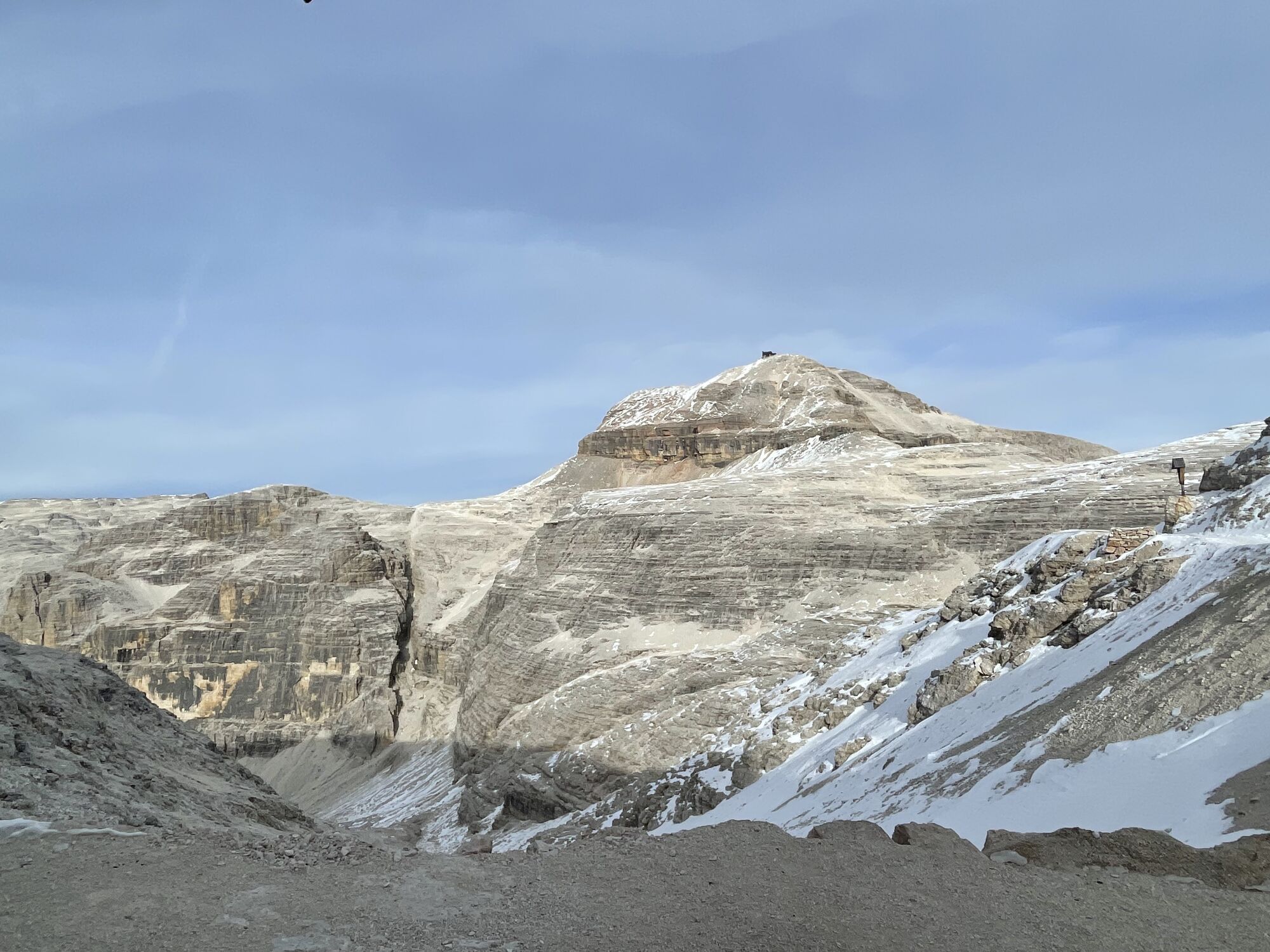
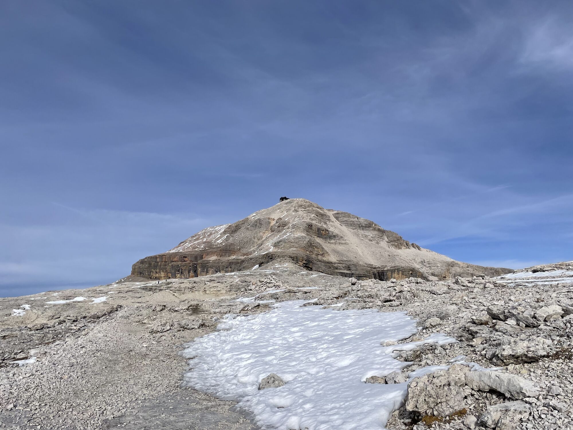
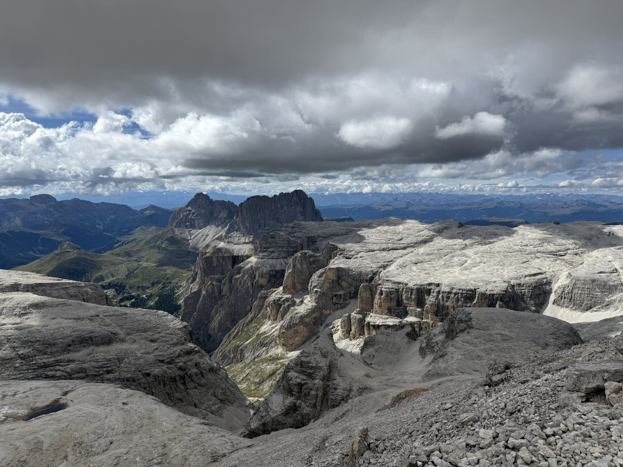
Once you have left these peaks behind, continue on path no. 630 to the summit of "Piz Boè", where it is worth taking a long rest to admire the 360° panorama of the Dolomites.
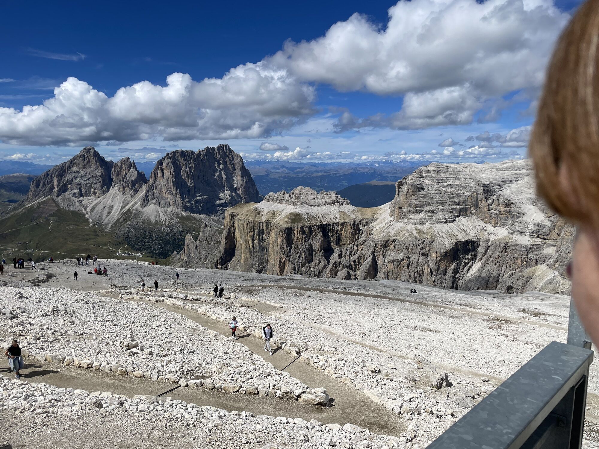
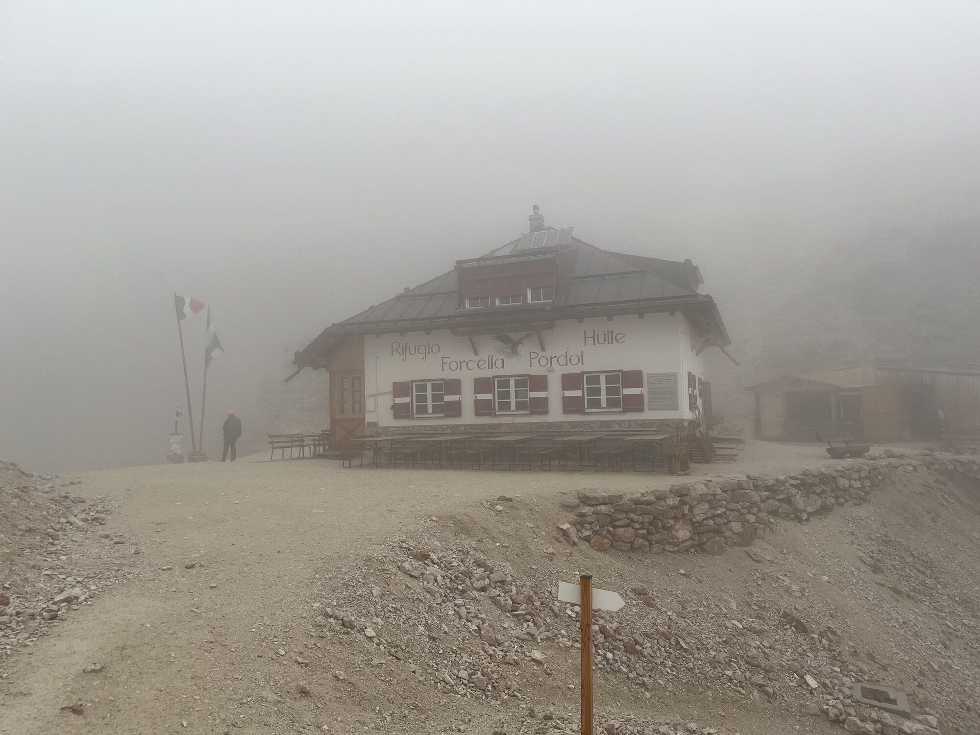
After descending from the summit, continue towards "Sass Pordoi" where, for the more ambitious, there is the option of descending to the "Pordoi" pass by cable car. If you are not tired yet, you can hike down to the "Pordoi" yoke.
From the pass , the bus will take you back to "Arabba".
Igen
Igen
Igen
The hiker's kit:
waterproof backpack or backpack with waterproof cover (not too big if the hike is short)
topographic map (or a local map with recommended paths)
compass and altimeter (or a sports watch)
binoculars
water bottles
energy bars or snacks
chocolate
sandwiches (or lunch in a mountain hut)
breathable t-shirt
substitute T-shirt (preferably breathable)
sweatshirt or pile
windproof and waterproof jacket
shorts
long trousers
long socks (long or mid-calf)
multi - sport boots soft and snug on the ankle
light hat/headband
anti-glare sunglasses
sun cream
telescopic poles
first aid kit (plasters, disinfectant, gauzes, etc.)
Long excursion to do only with good training and good weather.
Always let someone know where you are going and the approximate duration of the hike and avoid going alone.
The telephone number in case of emergency is 112 or 118 (ambulance).
From Innsbruck A22 Brennero highway to the Bressanone tool booth, continue through the Pusteria valley, Badia valley, the Campolongo Pass und Pordoi Pass From Verona/Milan A22 Brennero highway up to Egna Ora tool booth, continue for Fiemme valley, Fassa valley and Pordoi Pass From Venice A27 highwayway tool booth Belluno follow the Agordina 203 to Agordo, Caprile, Arabba and Pordoi Pass
By train
Nearest railway stations
Belluno - 70 km Brunico - 48 km Ponte Gardena - 51 km
By bus
Brunico - 47 Km connection by SAD line www.sad.it Belluno - 70 km - connected by the Dolomitibus www.dolomitibus.it
By plane
Venice Treviso/Venice Marco Polo - 160/170 km Innsbruck - 140 km Verona - 270 km Milan Bergamo/Milan Malpensa - 310/400 km
"Pordoi" and "Campolongo" passes and Arabba, the starting and arrival points of the excursion, relates to the other tourist centers of the Province of Belluno and Trentino - Alto Adige through SAD and "Dolomitibus" extra-urban lines.
Large open spaces and parking areas at the top of the "Pordoi" pass.
Before the start, it is reccomended to get informed about the weather, which changes rapidly in the mountains, and the conditions of the route.
"The vademecum of the sustainable hiker":
choose the route according to your physical and technical abilities
before the start, read up on the route you intend to take (distances, height difference, hours spent, springs, fountains, refuges, lifts, bivouacs, etc.).
check the condition of the chosen path
never undertake a hike alone
always take the rubbish back to the village
please stay on the marked trails
please be quiet
do not pick up stones or minerals
do not feed animals
do not light fires
do not pick up flowers or plants
A túra webkamerái
-
Plan de Gralba
-
Col dei Rossi
-
Colfosco
-
Rifugio Bioch - Alta Badia
-
Rifugio Maria Sass Pordoi
-
Arabba - Bec de Roces
-
Arabba - Porta Vescovo
-
Città dei Sassi
-
Arabba - Passo Pordoi
-
Col dei Rossi
-
Col dei Rossi
-
Col dei Rossi
-
Campitello di Fassa - Col Rodella
-
Col dei Rossi
-
Col dei Rossi
-
Col dei Rossi
-
Col dei Rossi
-
Col dei Rossi
-
Piz Arlara
-
Piz Arlara
-
Piz Arlara
-
Piz Arlara
-
Piz Arlara
-
Piz Arlara
-
Boé
-
Boé
-
Boé
-
Boé
-
Boé
-
Grödner Joch
-
Grödner Joch
-
Grödner Joch
-
Grödner Joch
-
Grödner Joch
-
Grödner Joch
-
Boé
-
Piz Seteur - Sassolungo
-
Arabba - Passo Pordoi
-
Mezdi Bergstation
-
Mezdi Bergstation
Népszerű túrák a környéken
-
4,8
Langkofel-Umrundung
közepesKirándulás 12,9 km -
4,7
Anello Passo Pordoi-Forcella P-Piz Boè
közepesKirándulás 10,6 km -
4,6
Passo Pordoi - Sass Pordoi - Forcella Pordoi - Piz Boè - Rifugio Boè - Forcella Pordoi - Passo Pordoi
nehézKirándulás 8,39 km -
4,4
Dolomiten Sellagruppe, Alb. Col di Lana, Sas de Pordoi, Piz Boé retour 22.06.2016
közepesKirándulás 5 km -
4,6
Umrundung Langkofel und Plattkofel, Gipfel Plattkofel
nehézKirándulás 21,8 km -
4,9
Lang- und Plattkofel Umrundung
közepesKirándulás 17,5 km -
4,7
The Munkelweg trail beneath the Geisler peaks
közepesKirándulás 9,11 km -
3,8
Der Friedrich-August-Weg
közepesKirándulás 10,4 km -
4,8
Sasslong Rundwanderung
közepesKirándulás 10,8 km -
5,0
Um den Langkofel
közepesKirándulás 9,76 km
Túrázás & nyomkövetés


Ne maradjon le az ajánlatokról és az inspirációról a következő nyaralásához!
Az Ön e-mail címe hozzá lett adva a levelezőlistához.