


Wine trail


Fotók felhasználóinkról
-

 © Heinrich MocelliniLétrehozta a 24.04.2025
 -
 © Heinrich MocelliniLétrehozta a 24.04.2025
 -
 © Heinrich MocelliniLétrehozta a 24.04.2025
 -
 © Heinrich MocelliniLétrehozta a 24.04.2025
 -
 © Heinrich MocelliniLétrehozta a 24.04.2025
 -
 © Heinrich MocelliniLétrehozta a 24.04.2025
 -

 © Bruno ZahnoLétrehozta a 28.04.2025
 -

 © Jean-Pierre SionLétrehozta a 06.03.2025
 -
 © Jean-Pierre SionLétrehozta a 06.03.2025
 -
 © Jean-Pierre SionLétrehozta a 06.03.2025
 -
 © peter_oeLétrehozta a 25.10.2024
 -
 © peter_oeLétrehozta a 25.10.2024
 -
 © peter_oeLétrehozta a 25.10.2024
 -
 © peter_oeLétrehozta a 25.10.2024
 -
 © peter_oeLétrehozta a 24.10.2024
 -
 © peter_oeLétrehozta a 24.10.2024
 -
 © peter_oeLétrehozta a 24.10.2024
 -
 © peter_oeLétrehozta a 24.10.2024
 -
 © peter_oeLétrehozta a 24.10.2024
 -
 © peter_oeLétrehozta a 24.10.2024
 -
 © peter_oeLétrehozta a 31.08.2024
 -
 © peter_oeLétrehozta a 31.08.2024
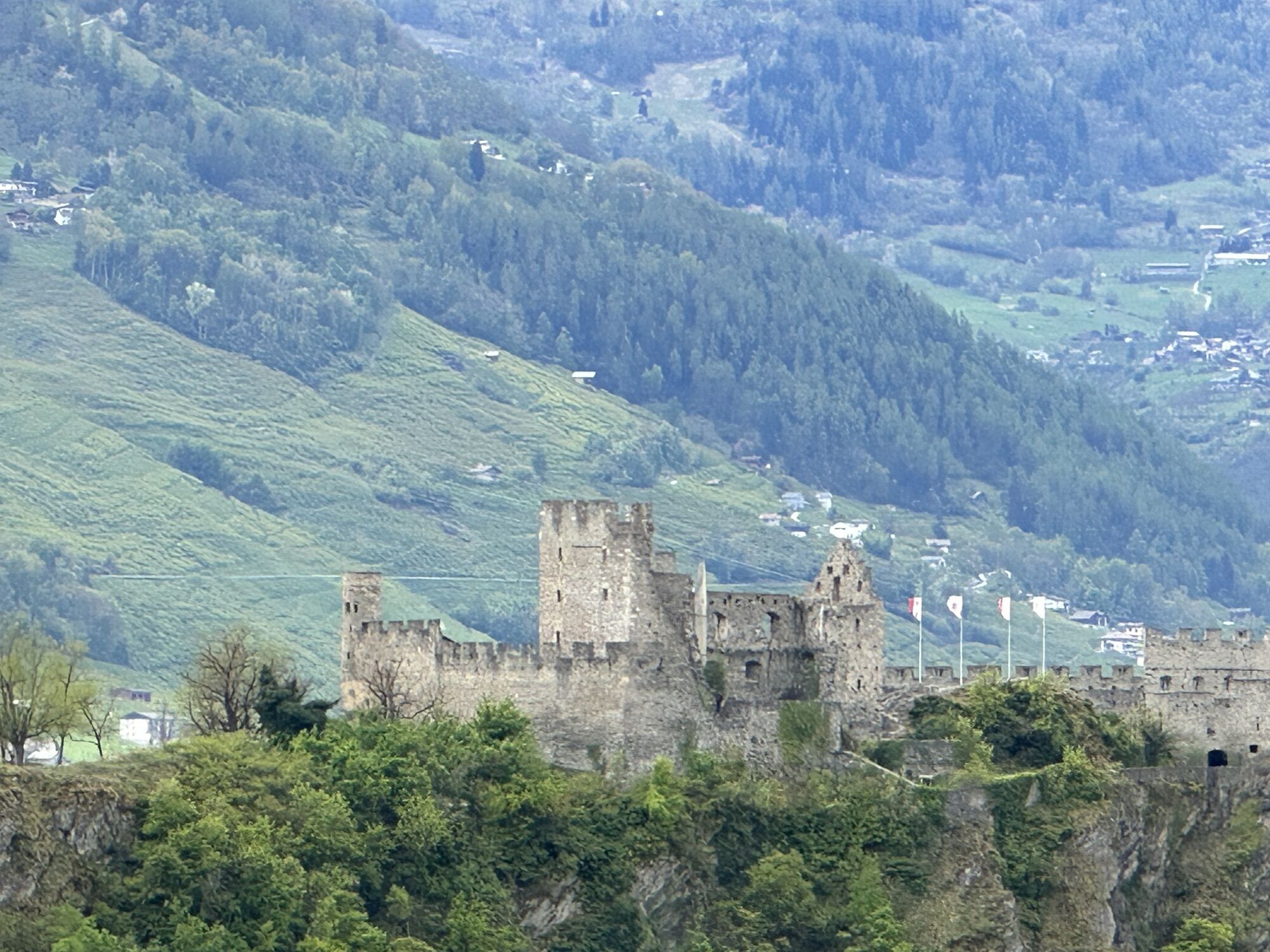
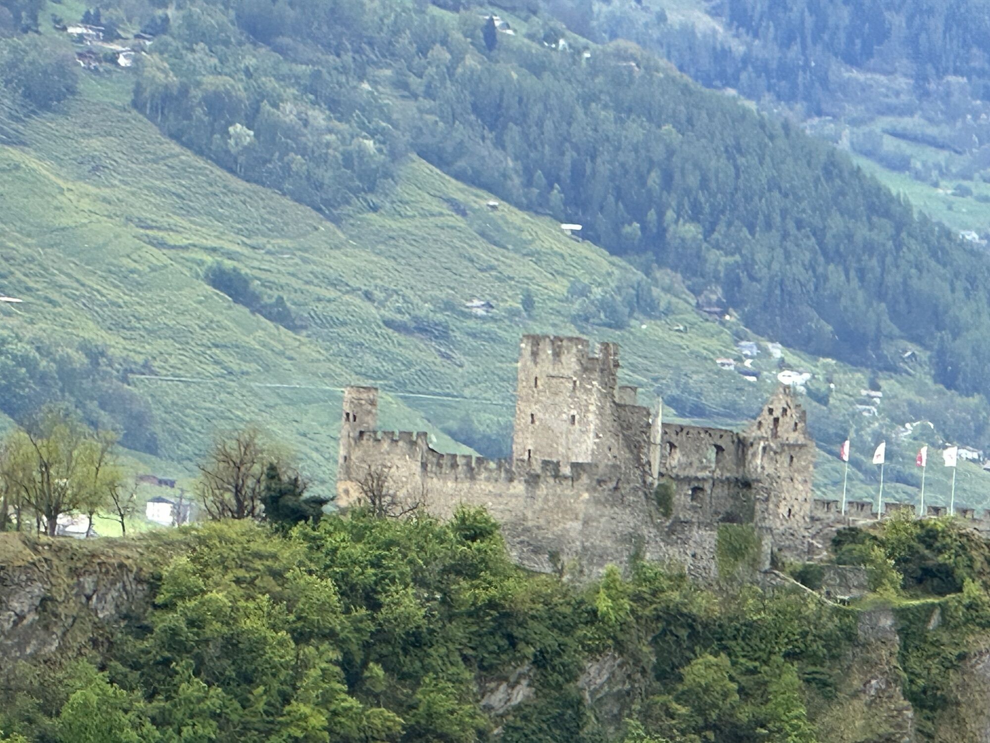

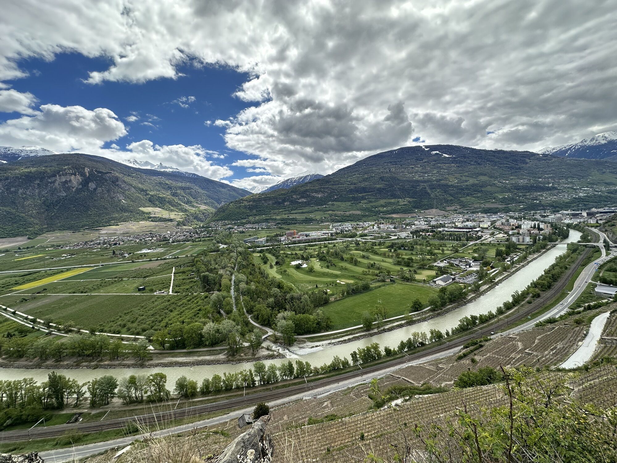
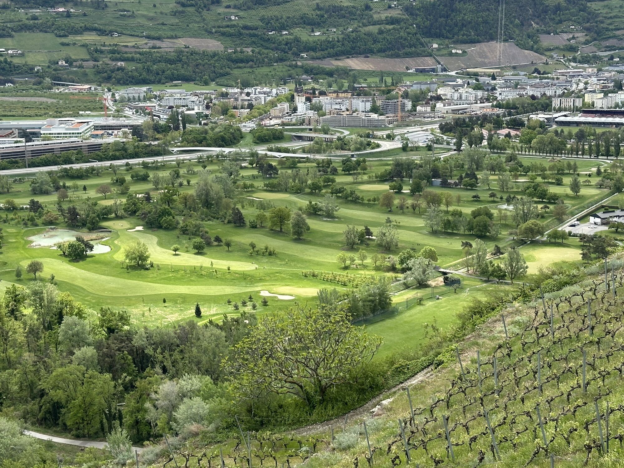

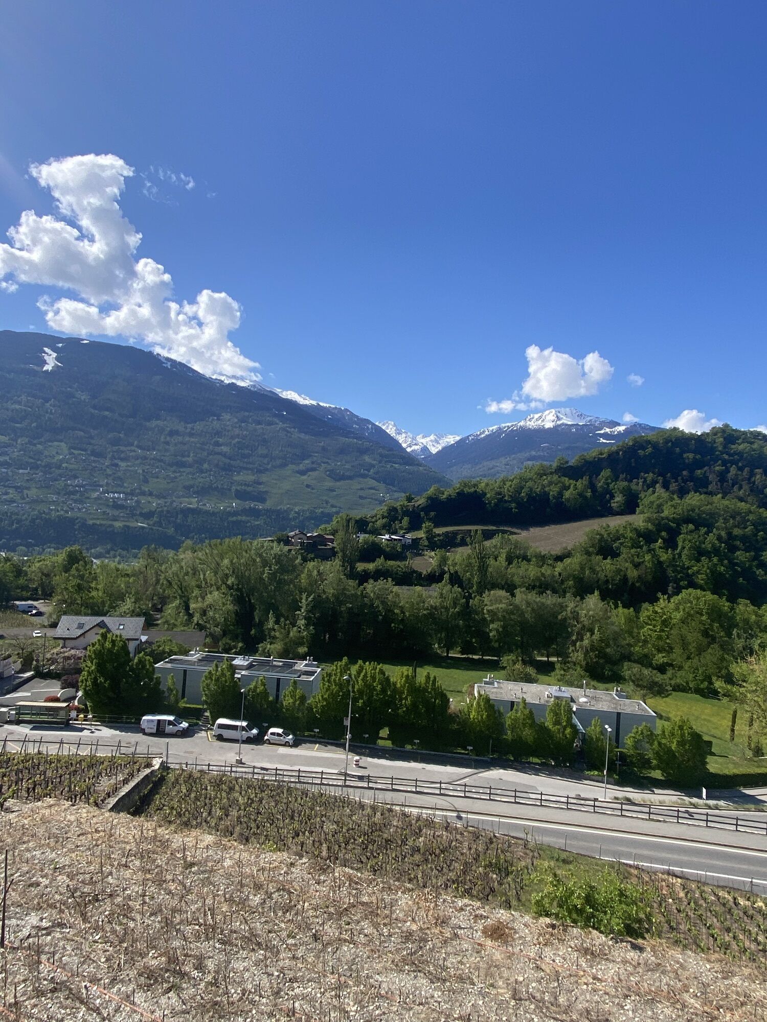
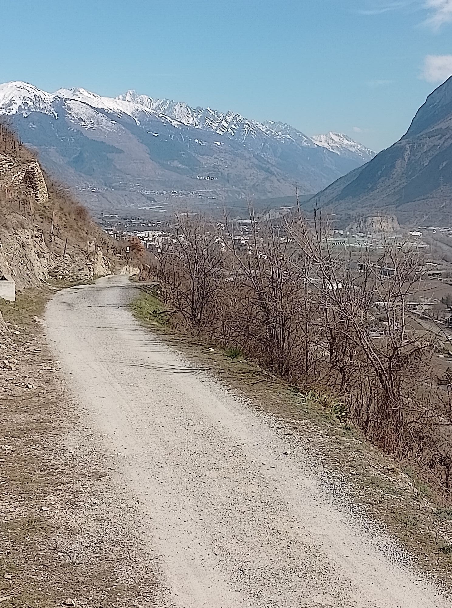


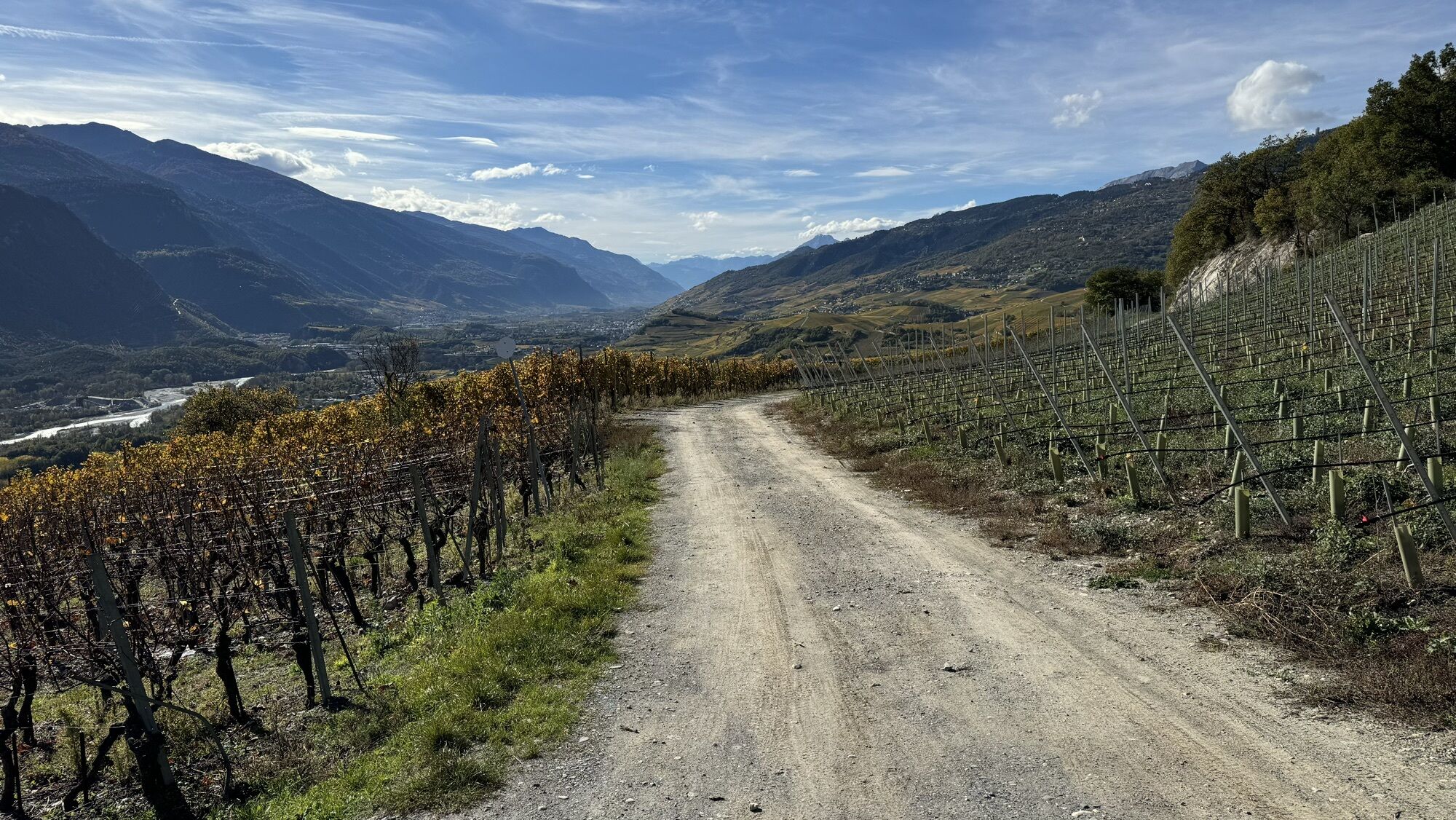
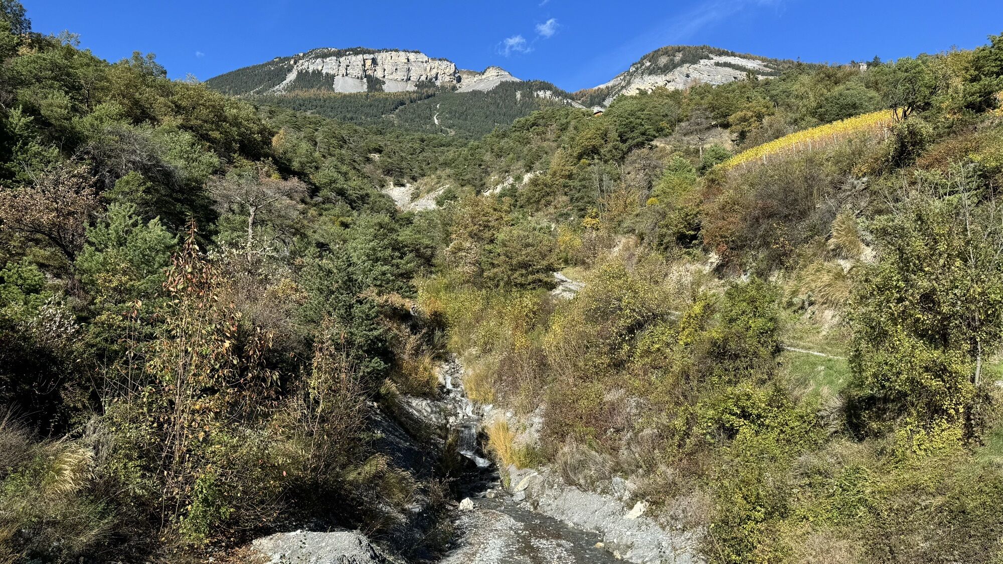
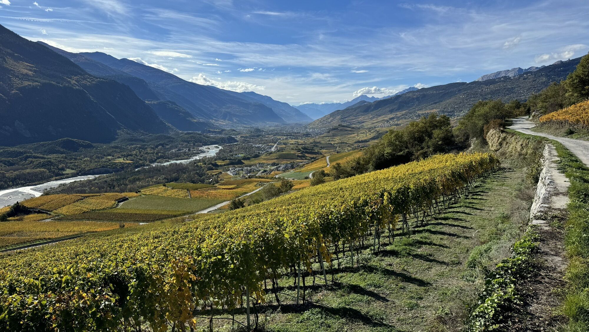
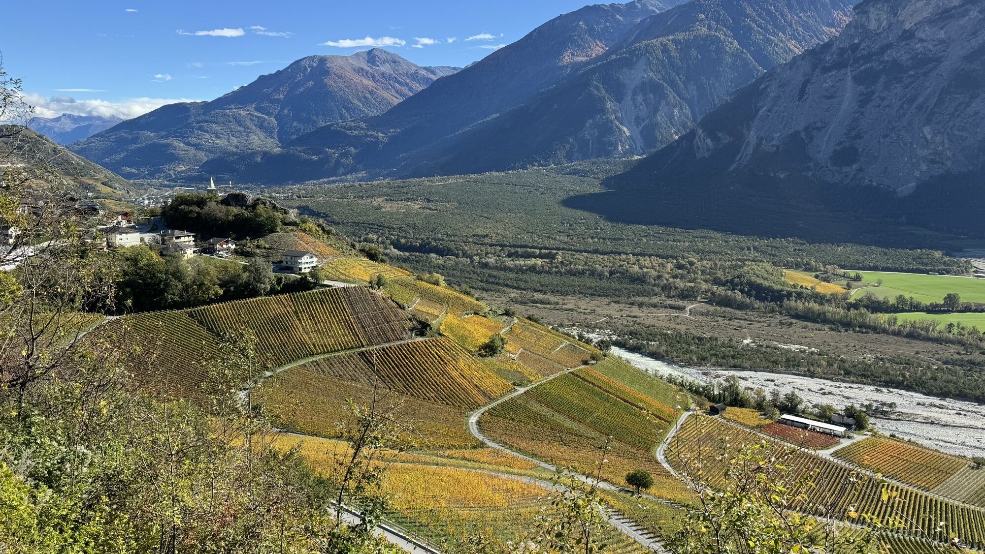

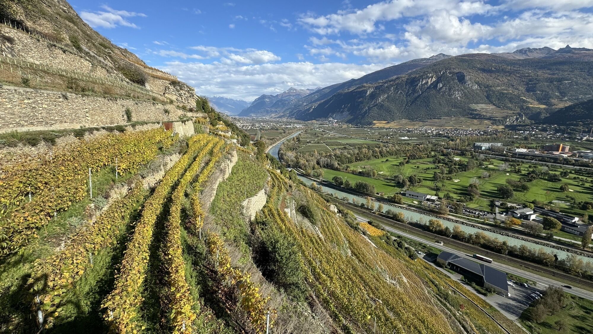

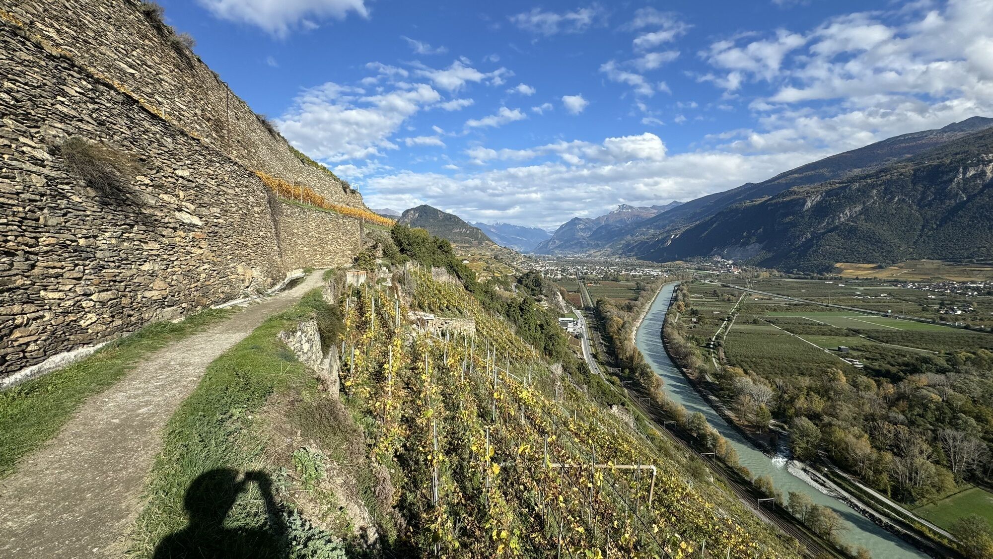

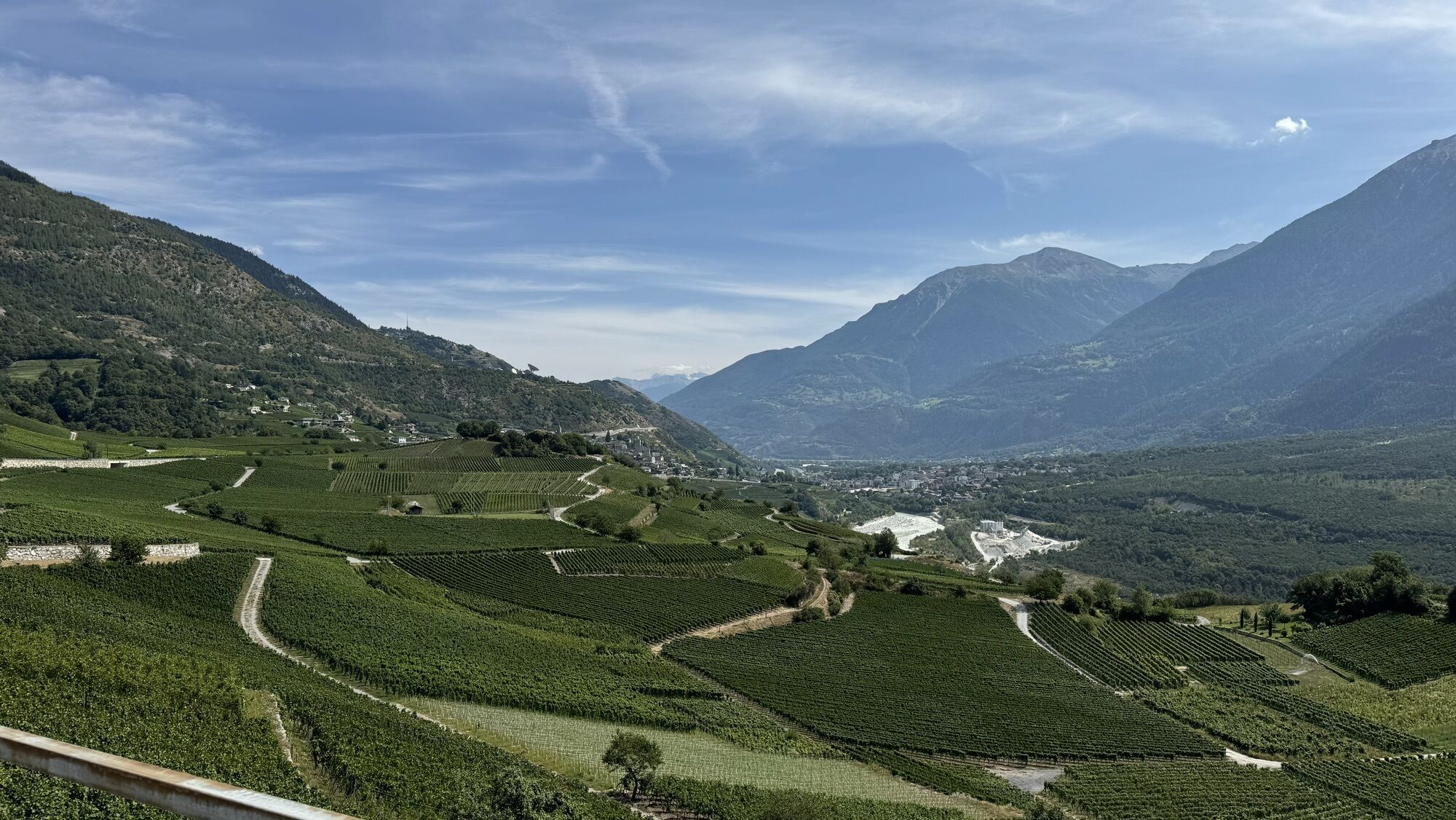
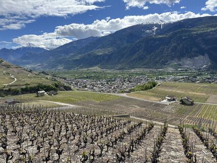
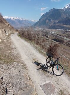
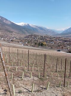
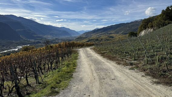
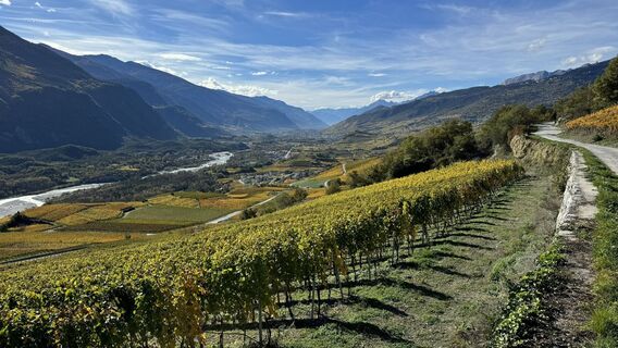
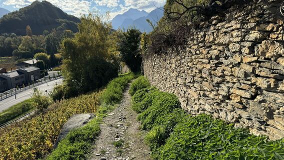
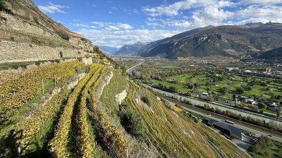
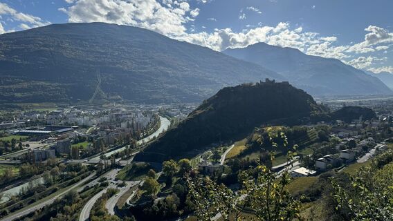
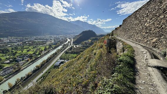
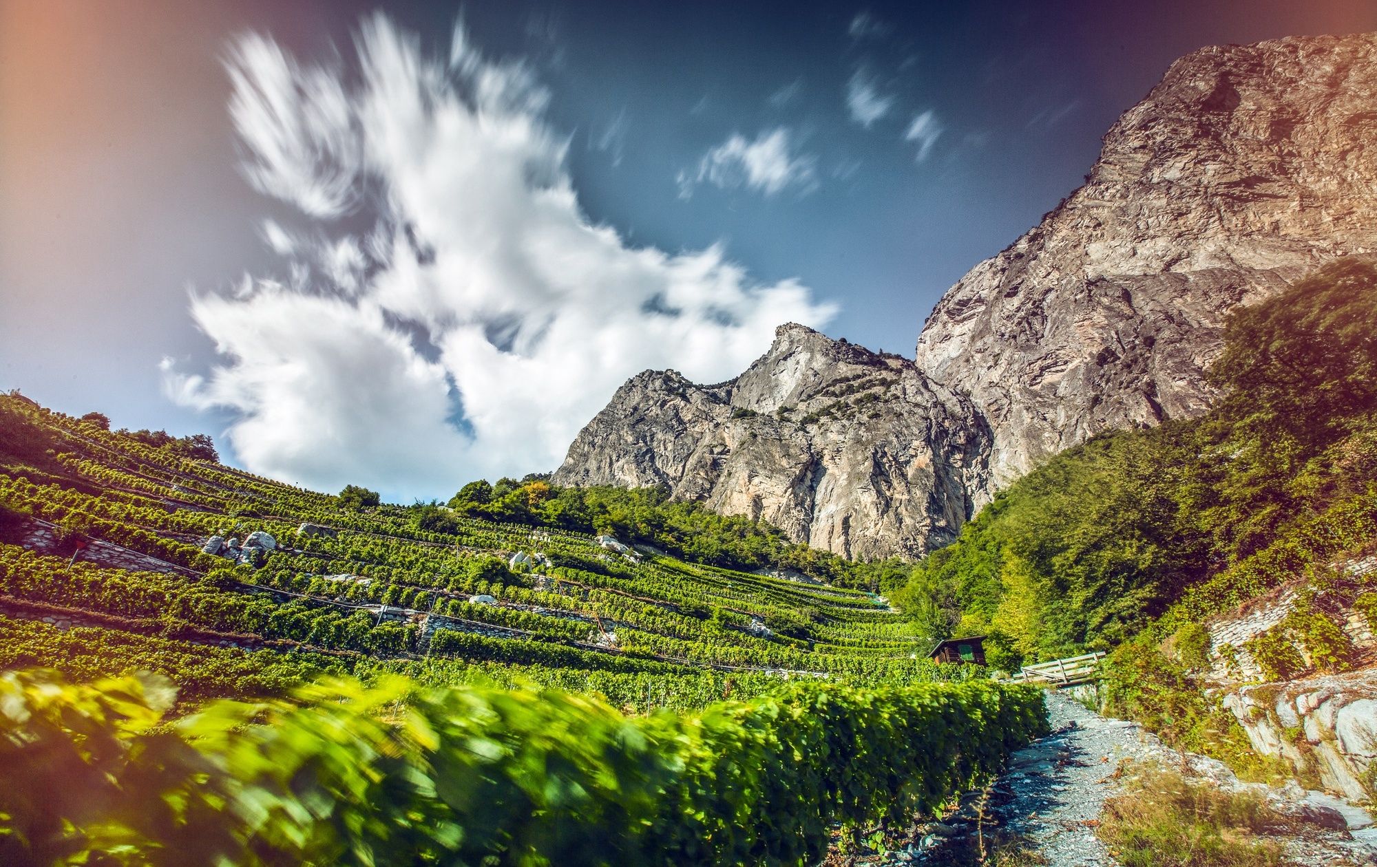
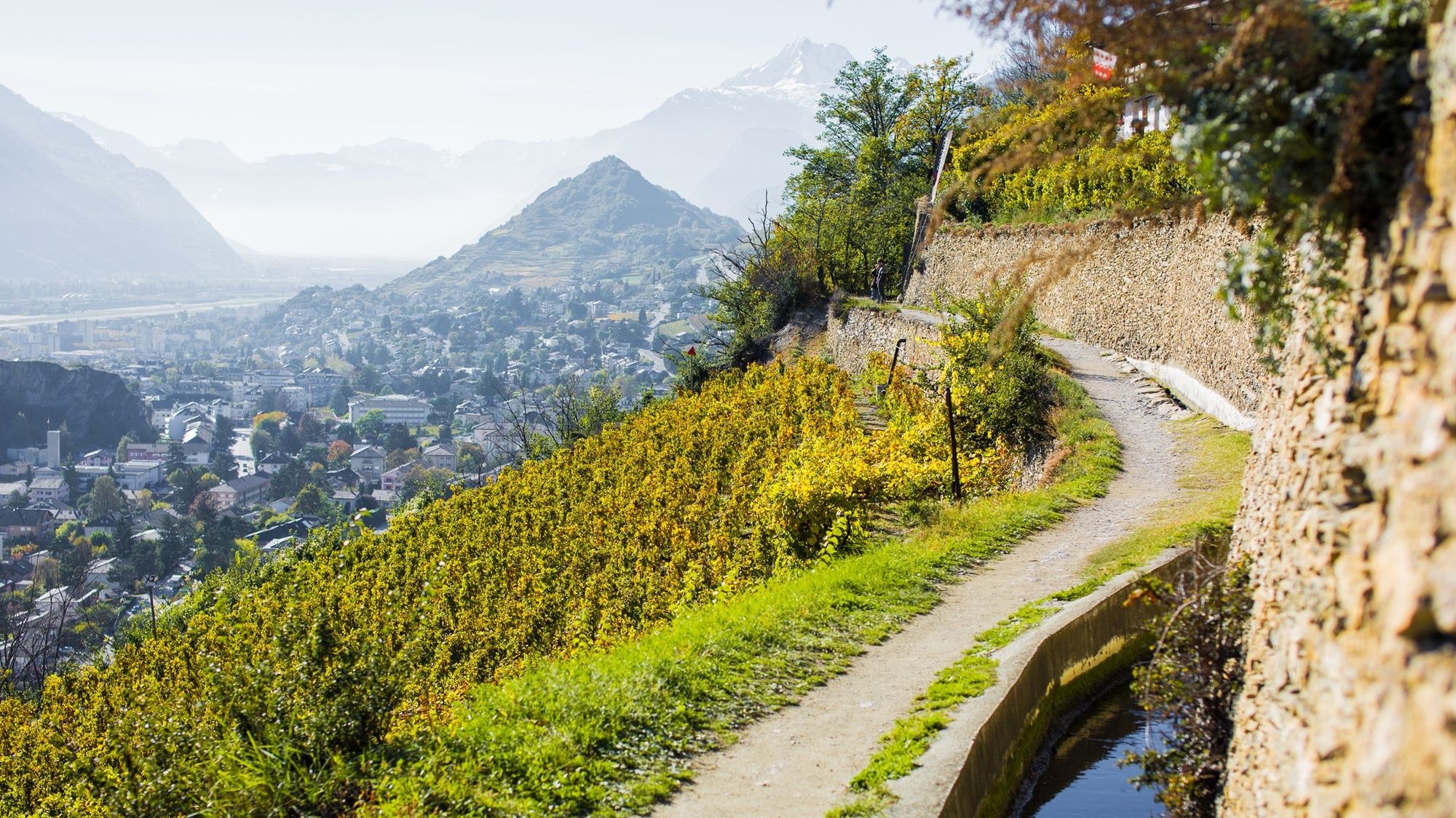
The Chemin du Vignoble (“Vineyard Trail”) leads through the sunny winegrowing regions along the north side of the Rhône valley, linking picturesque winemaking villages that have given their names to prestigious...
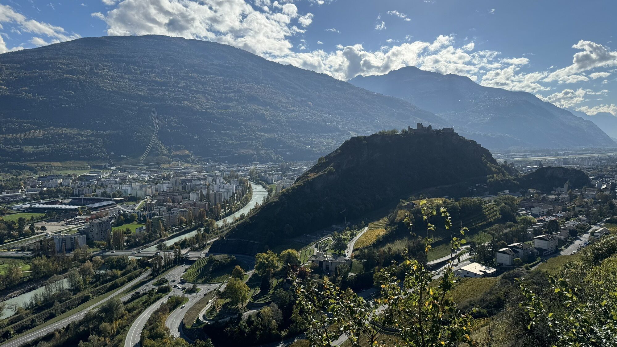
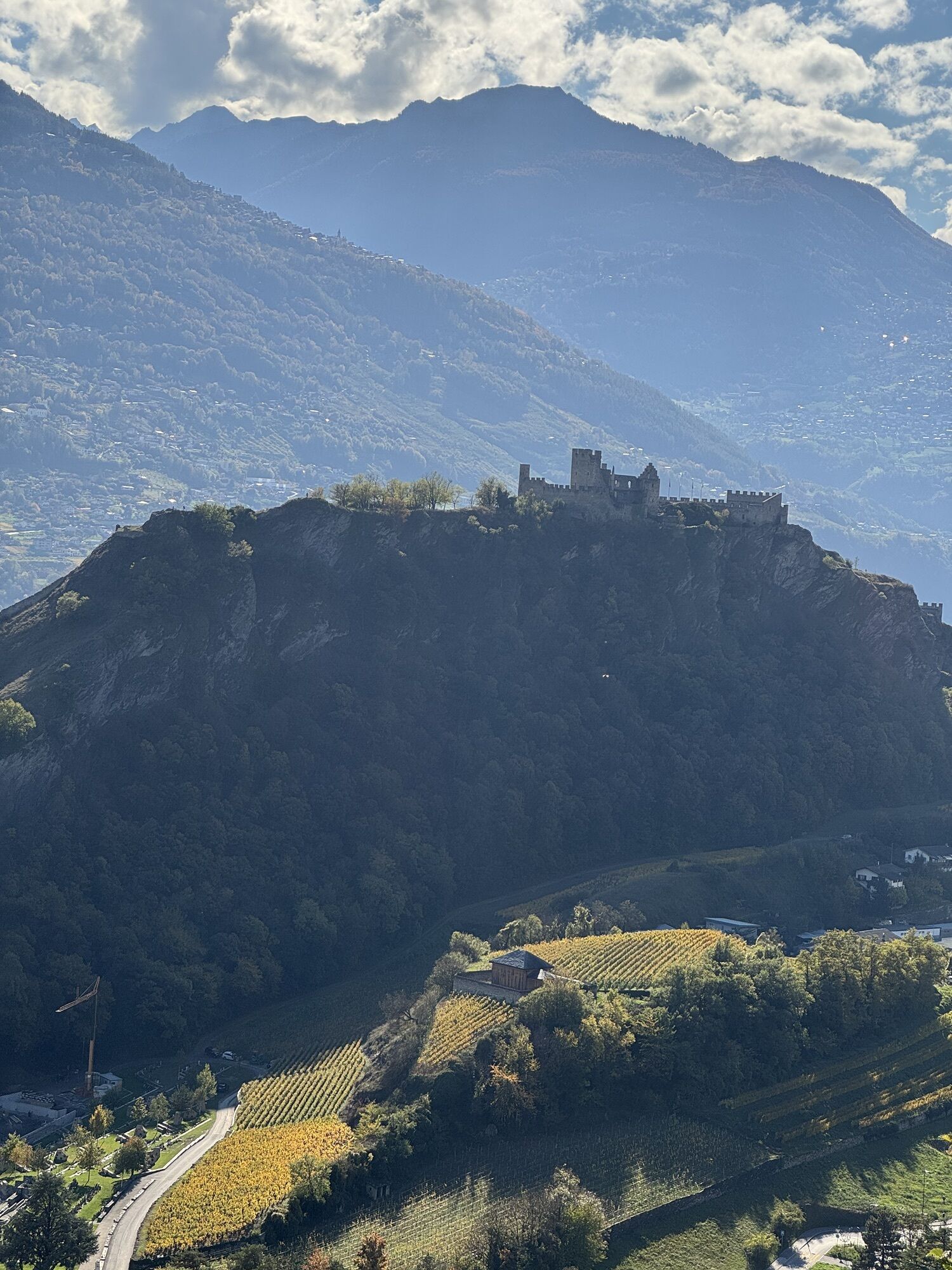
The Chemin du Vignoble (“Vineyard Trail”) leads through the sunny winegrowing regions along the north side of the Rhône valley, linking picturesque winemaking villages that have given their names to prestigious Valais wines. There are three versions – for motorists, for cyclists and for walkers – each with a slightly different route. The hiking trail (SwitzerlandMobility Route 36) comprises four stages totalling 66 km. The first stage leads from Branson near Martigny to the medieval village of Saillon, via the chestnut grove above Fully. The second stage links the spa resort of Saillon with Sion, capital of Valais. From Sion, the third stage leads to Venthône near Sierre, following the historical irrigation channel of the Bisse de Clavau and passing attractive vineyard restaurants. The final stage links French- and German-speaking Valais, and takes in medieval villages, the Pfyn-Finges Nature Park, the “Espace Terroirs” visitor centre in Miège and finally the historical town of Leuk.


Discover the stages of the Wine Trail:
1st stage: Branson – Saillon 2nd stage: Saillon – Sion 3rd stage: Sion – Venthône 4th stage: Venthône – Leuk
We recommend:
good footwear clothing suitable for the weather: always carry a waterproof jacket hat or cap sunscreen bottle for water picnic camera binoculars (optional) hiking poles (optional) printout of this hike (click “Print” icon, to download)
For certain walks:
Swimwear
Use of the trails and the information on this website is at hikers’ own risk. Local conditions may entail changes to routes. Valais/Wallis Promotion accepts no liability for the accuracy and completeness of information on this website.
For all hikes:
Bring a map. Download full description of this route including large-scale map by clicking on “Print” icon, top right of this page. Use marked trails only, and observe all signposting – for your own safety, to safeguard grazing animals and to avoid disturbing wildlife. Close gates after passing through. Please be considerate to other trail users, and to the plants and animals. Do not leave any waste in nature.
For mountain hikes:
Take extra care protecting yourself from the sun at altitude. UV radiation can be exceptionally strong, even in cloudy weather. Plan hike carefully: take into consideration fitness level of each participant, weather forecast and season. Weather conditions can change quickly in the mountains, without warning. Appropriate clothing is therefore essential, along with adequate supplies of food and water. In uncertain weather, turn back in good time.
For high-altitude hikes:
Inform others of the route you plan to take. Whenever possible, avoid going alone. Do not venture onto glaciers without a mountain guide. Take note of the warning signs that point out the constant danger in river beds and along watercourses below dams and reservoirs: water levels may rise rapidly without warning.
More information about gastronomie & wine: www.visitvalais.ch
The hike is particularly recommended and impressive in autumn, when the vineyards become a sea of red, yellow and gold, and numerous wine-related events take place.
A túra webkamerái
-
Tele Anzère
-
La Tzoumaz
-
Anzère Village
-
Luzerner Höhenklinik Montana
-
Crans Montana - Hôtel Le Splendide
-
Ovronnaz - Départ du Télésiège
-
Veysonnaz - Sportneige
-
Nendaz - Plaine des Ecluses
-
Golfplatz - Severiano Ballesteros
-
Golfplatz - Severiano Ballesteros
-
Ovronnaz - Arrivée du Télésiège
-
Col de la Forcle
-
Guttet Feschel
-
Ovronnaz - Buvette de Loutze
-
Martigny
-
Sommet des Vignes - Martigny
-
Sommet des Vignes - Martigny
-
Sommet des Vignes - Martigny
-
Le Mont
-
Creux du Lavioz
-
Anzère Funpark
Népszerű túrák a környéken
-
4,0
Around the Tseuzier Reservoir
könnyűKirándulás 4,58 km -
5,0
From Saillon to Farinet footbridge
közepesKirándulás 7,86 km -
4,0
Belvédère via ferrata
közepesVia ferrata 1,81 km -
4,0
Tripon - Brac – Ancien Bisse du Torrent Neuf – St. Marguerite – Torrent Neuf – Prafirmin - St. Germain
könnyűKirándulás 12,9 km -
5,0
Tour de l'éboulement des Diablerets
könnyűKirándulás 6,52 km -
4,5
Cleuson Dam
közepesKirándulás 11,5 km -
4,0
Grand Bisse de Lens
könnyűKirándulás 8,73 km -
Loutze
könnyűTéli kirándulás 6,83 km -
Via Farinetta
nehézVia ferrata 6,41 km -
4,0
Balade sur la Bisse Vieux
könnyűKirándulás 5,33 km
Túrázás & nyomkövetés


Ne maradjon le az ajánlatokról és az inspirációról a következő nyaralásához!
Az Ön e-mail címe hozzá lett adva a levelezőlistához.