


Gommer forest path Reckingen - Niederwald


As a comfortable one-day route of the Gommer forest path, the section from Reckingen to Niederwald is recommended. The forest provides the hiker with shade from the hot sun rays. Below in the valley lie...
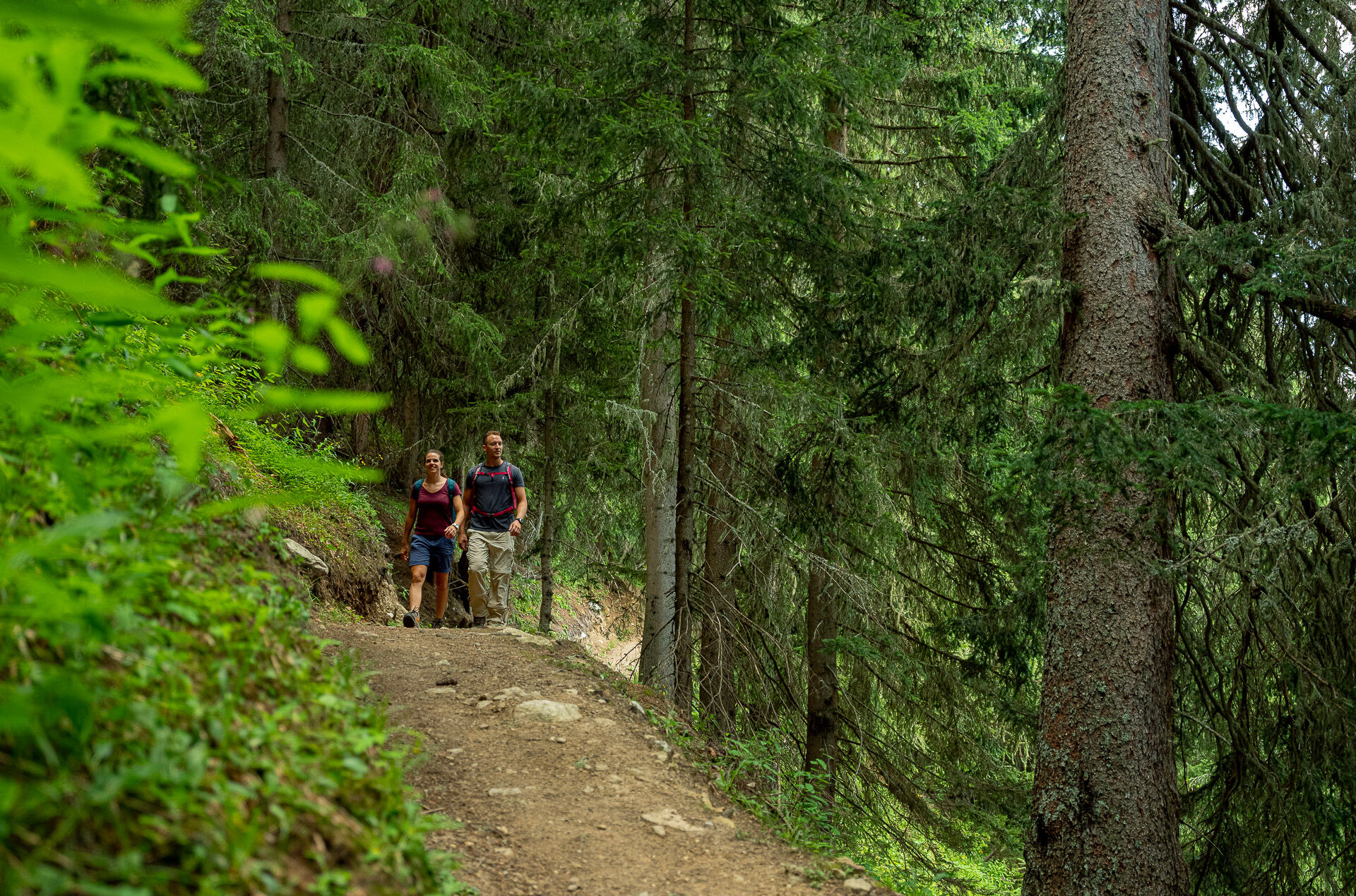
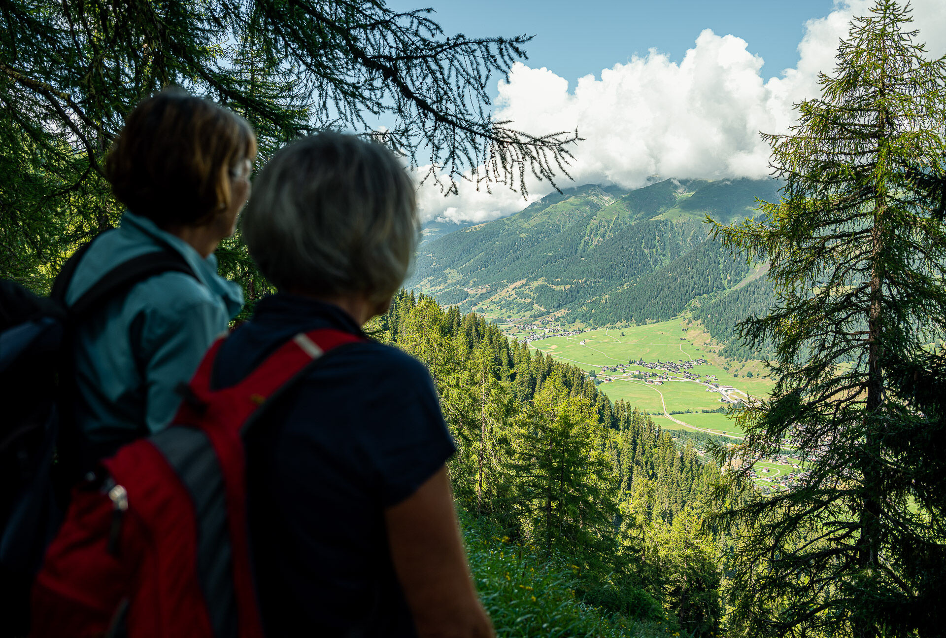
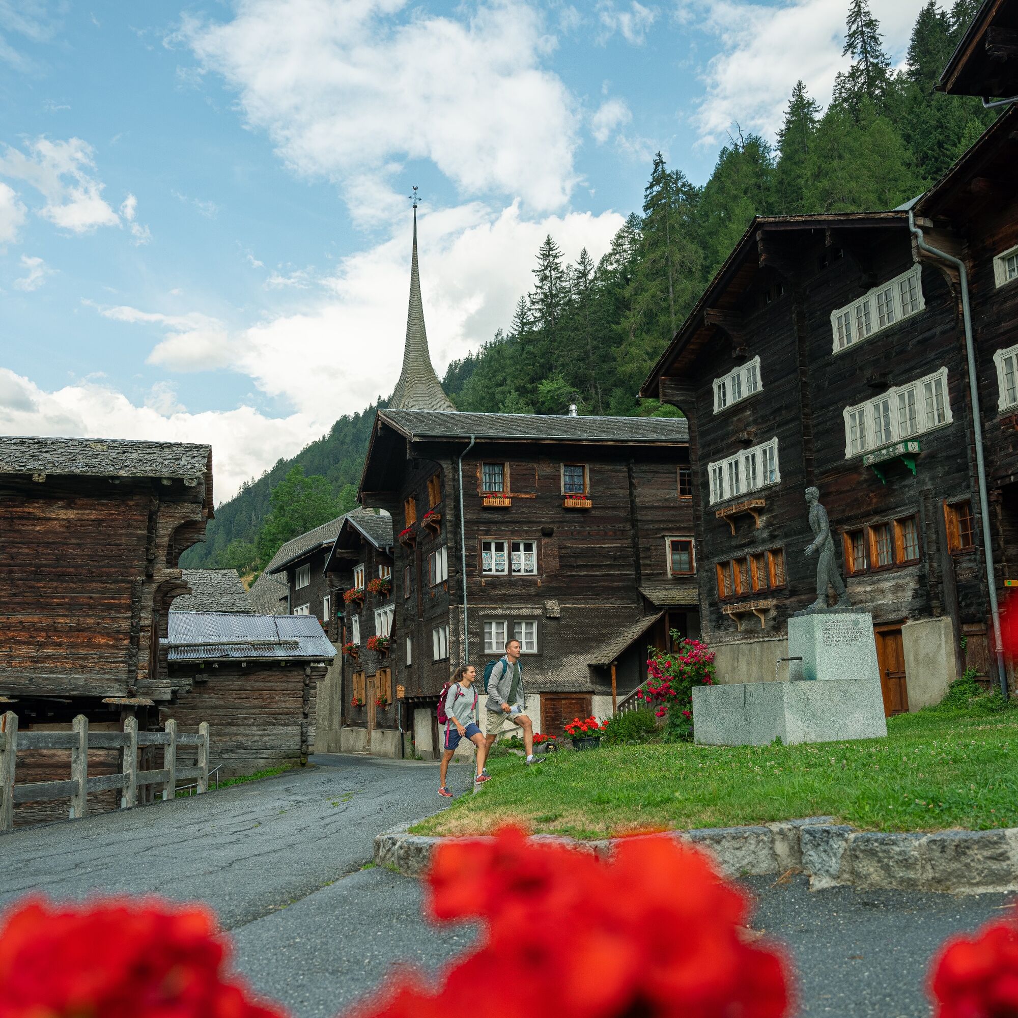
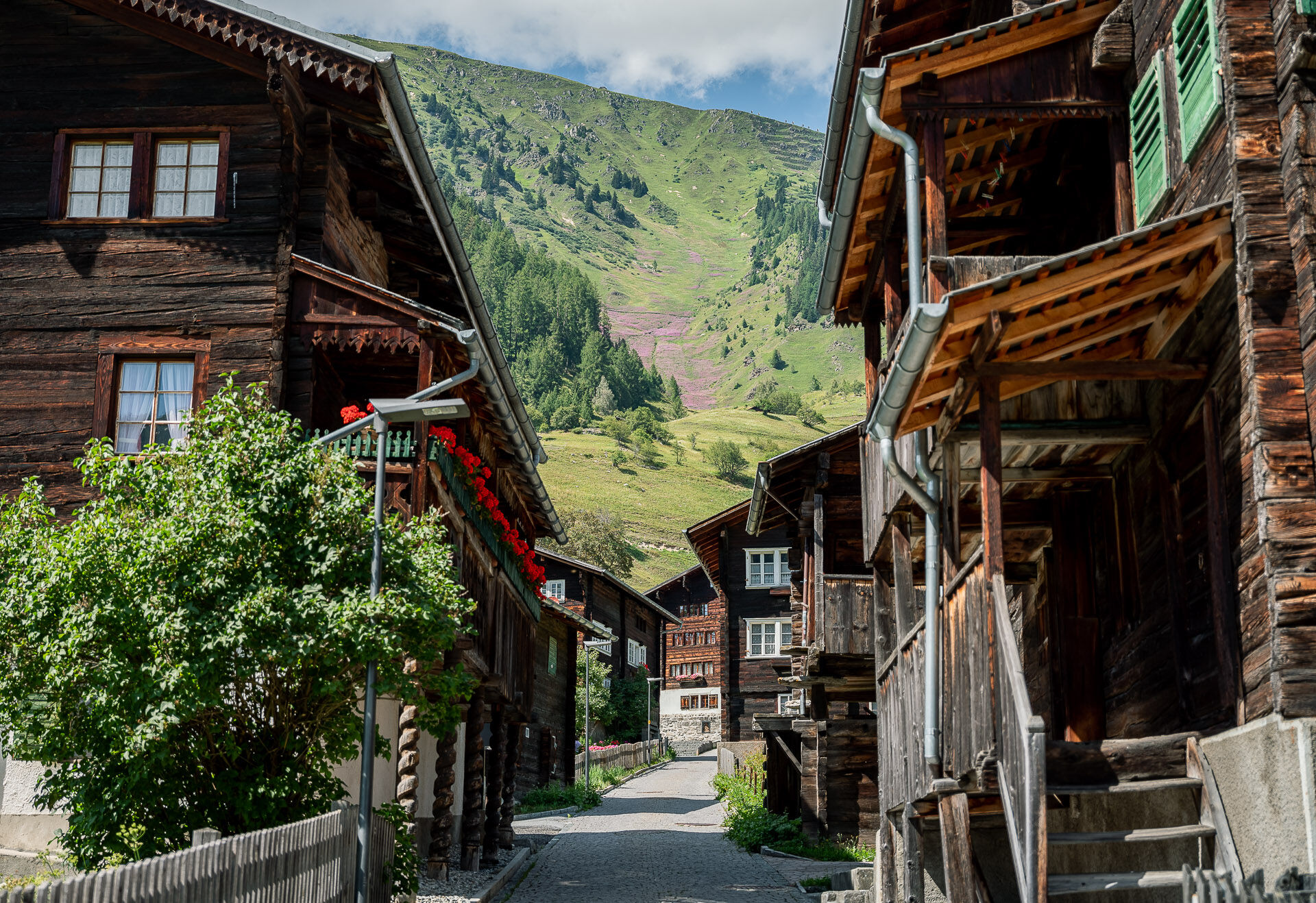
As a comfortable one-day route of the Gommer forest path, the section from Reckingen to Niederwald is recommended. The forest provides the hiker with shade from the hot sun rays. Below in the valley lie sun-burnt villages and dreamy hamlets. The route between Reckingen and Niederwald runs without crossing a single road.

Reckingen - Waljini - Sattel - Äbnet - Bodme - Blitzingen - Äbmet - Niederwald
Igen
We recommend:
Good footwear and hiking poles Sun and rain protection as well as warm clothing Detailed map or information material with good route preparation Provisions for your day in the open nature First aid kit and mobile phone for emergencies
Use of the hiking trails is at your own risk. Obergoms Tourismus AG disclaims all liability and assumes no responsibility for the accuracy and completeness of the information on this website.
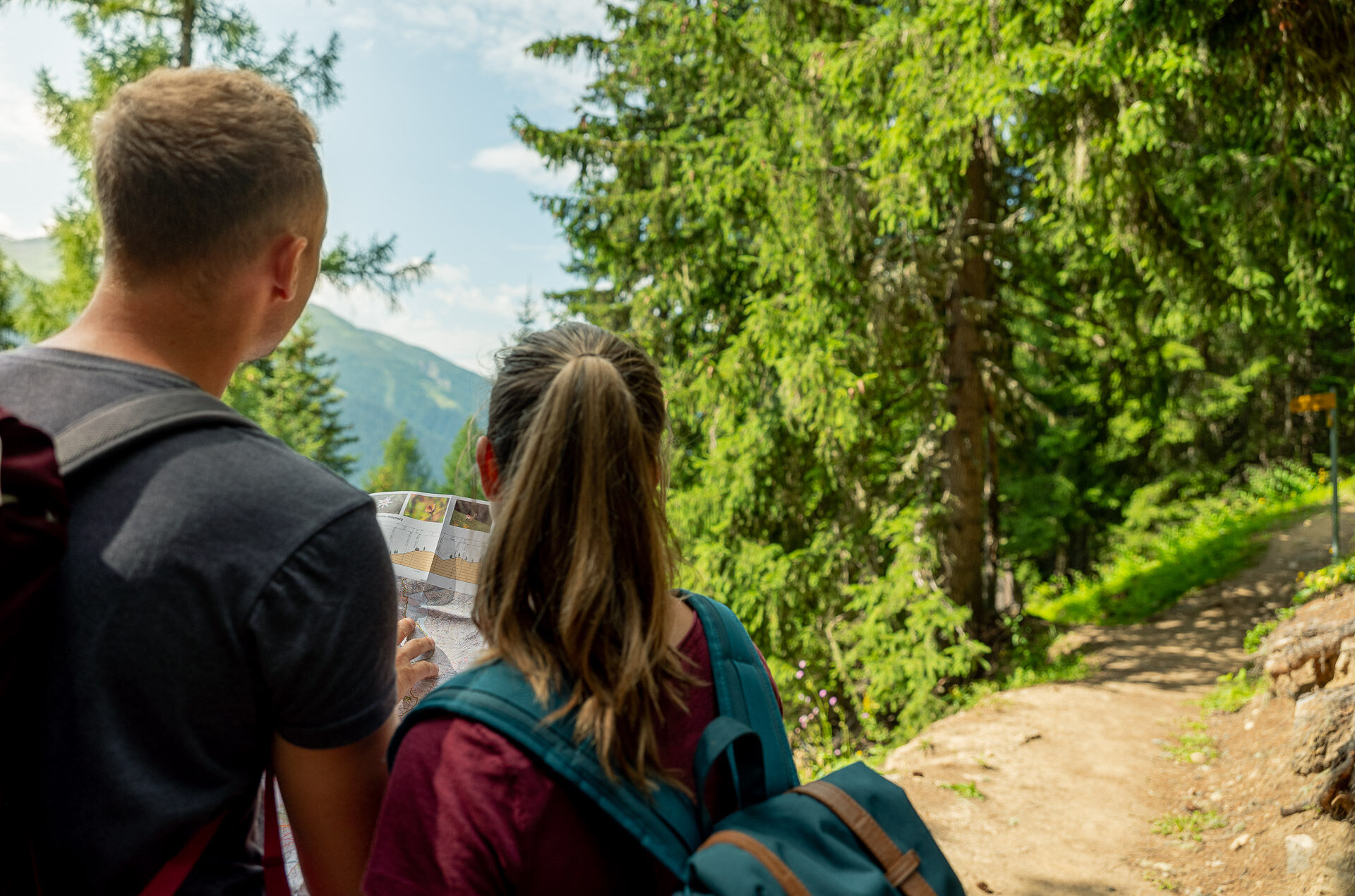
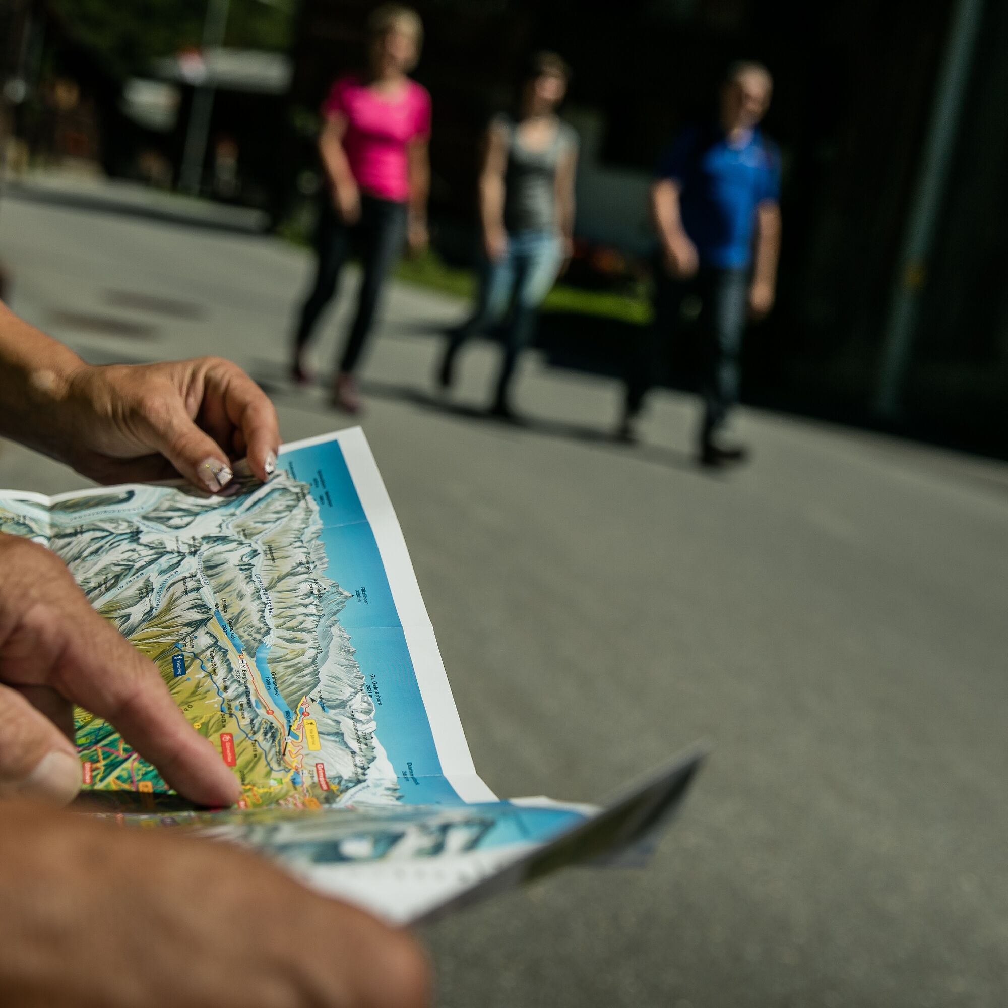
Carry a hiking map with you or download the complete description of the hiking trail with a large-scale map. Use only marked paths and observe all markings and signs - for your own safety, for the protection of the landscape, and out of respect for wildlife. Be considerate of other trail users. Please take your trash and the trash of others with you.
The weather conditions in the mountains can change very quickly and without warning. Appropriate clothing and sufficient provisions (food and drink) are very important. In unstable weather, it is better to turn back early.
Carry additional sun protection. UV rays at high altitudes can be very strong, even on cloudy days.
Plan your route carefully and thoroughly. Inform yourself in advance about the current conditions and weather. The summer report provides valuable information from the region.
From Brig follow the cantonal road no. 19 (Furka road) for about 30 km to Reckingen.
Goms is also well connected from the Zurich / Lucerne region via Andermatt - Furka car shuttle www.matterhorngotthardbahn.ch.
With the regional trains of the Matterhorn Gotthard Bahn, you can reach Reckingen from Brig in 1h 03 min. Goms is also easily accessible from the Zurich / Lucerne region via Andermatt - Furka Base Tunnel.
You can find the train and bus schedules at www.sbb.ch.
Public parking spaces are available in the vicinity of the station or in the village of Reckingen. Follow the local parking guidance system for this purpose.
The Gommer Pass of the Matterhorn Gotthard Bahn entitles the holder to free travel in 2nd class on the route Oberwald - Fiesch Feriendorf
Népszerű túrák a környéken
-
4,0
Panoramaweg über den Aletschgletscher
közepesKirándulás 17,7 km -
4,0
Panorama Tour Aletsch Arena
közepesKirándulás 14,7 km -
5,0
Circular hike from Grimsel Pass - Sidelhorn via Jostsee
közepesKirándulás 8,47 km -
5,0
9 lake-trail
nehézKirándulás 17,3 km -
UNESCO Höhenweg
Kirándulás 3,70 km -
5,0
Aletsch Sightseeing
közepesTéli kirándulás 15,5 km -
4,0
Eggishorn via ferrata
közepesVia ferrata 1,39 km -
Cultural route in Münster
könnyűTanösvény 0,54 km -
3,0
Round hike Grimselpass - Sidelhorn via Jostsee
közepesKirándulás 8,47 km -
Blinnenhorn route
nehézKirándulás 106,6 km
Túrázás & nyomkövetés


Ne maradjon le az ajánlatokról és az inspirációról a következő nyaralásához!
Az Ön e-mail címe hozzá lett adva a levelezőlistához.