


Circular route Klosi-Bellavista-Stahlgasse


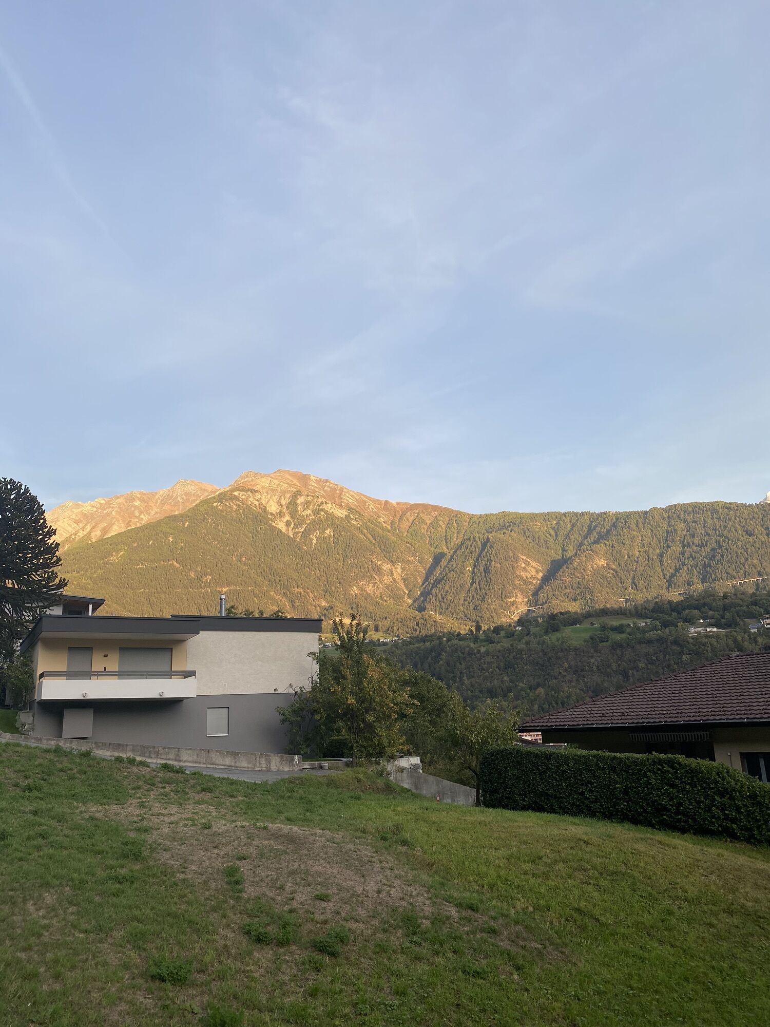
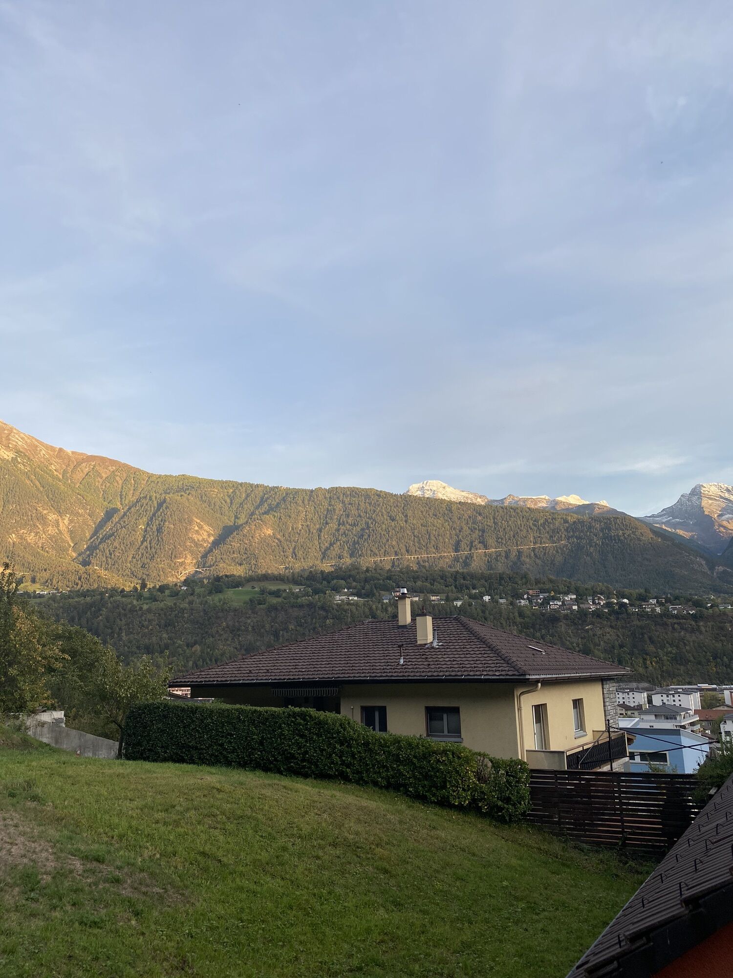
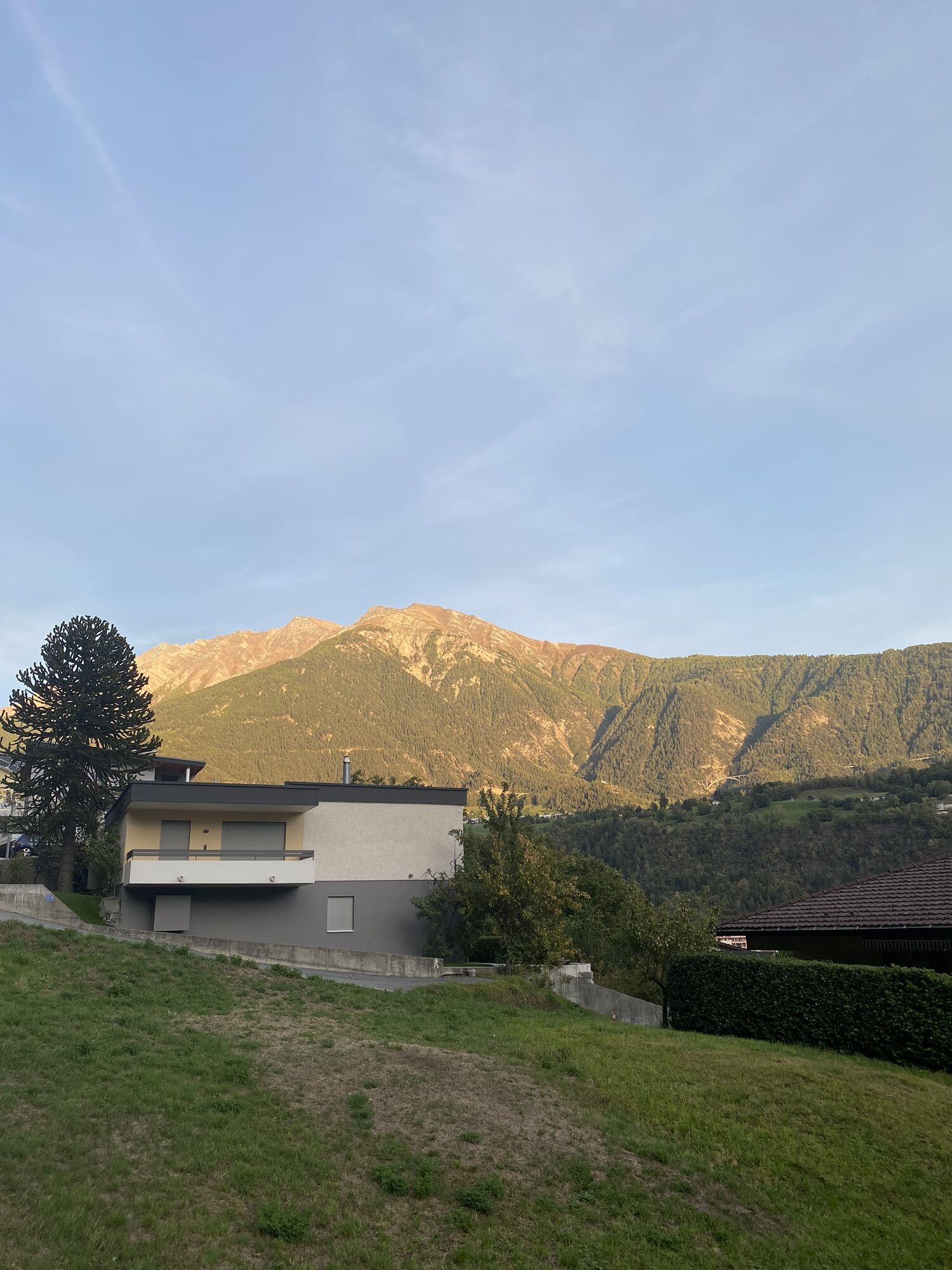
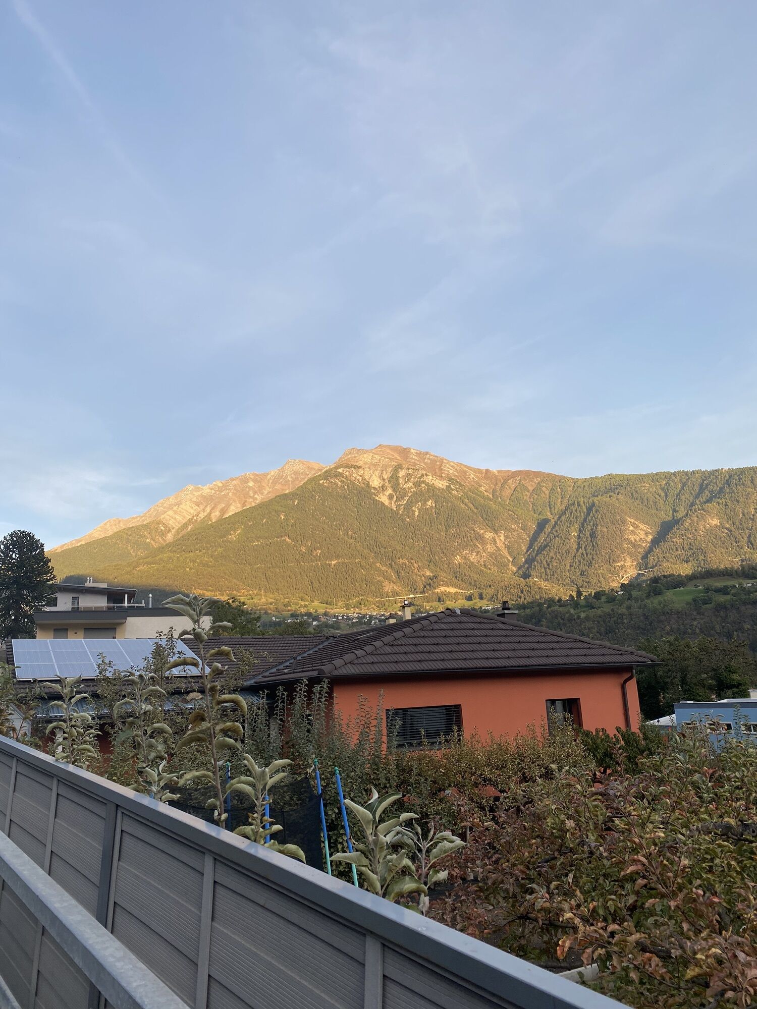
This short and easy hike leads from Naters up to Bellavista and back. Along the way, you walk on old paths and escape everyday life despite the proximity to Brig and Naters. Enjoy the view of the valley.

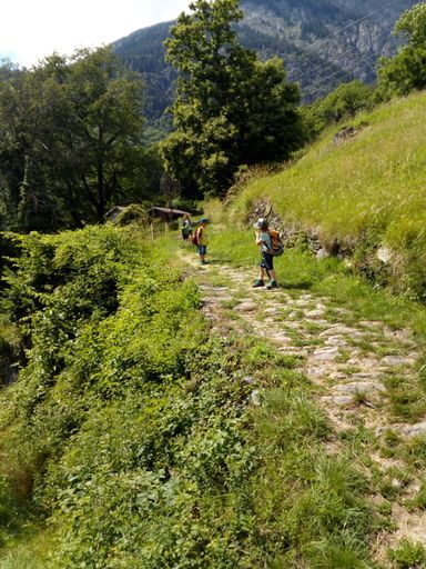
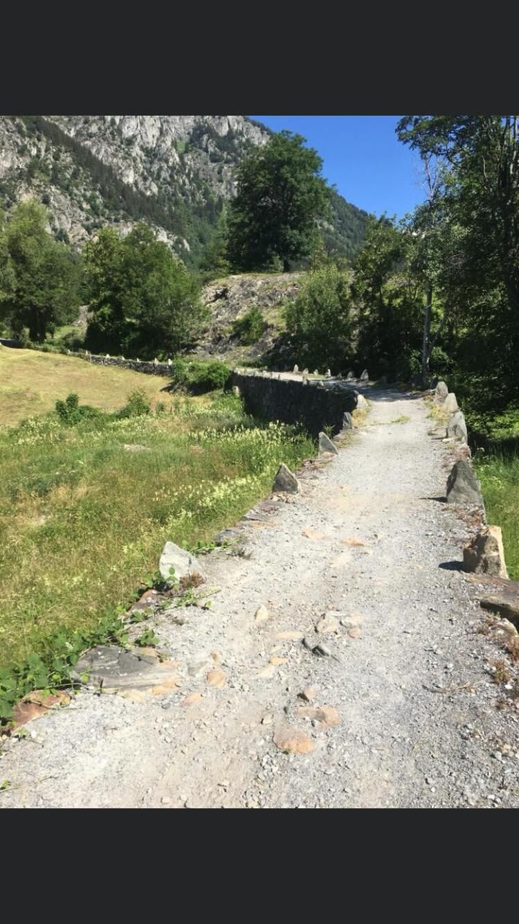
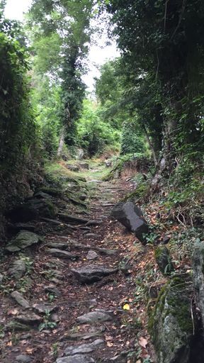
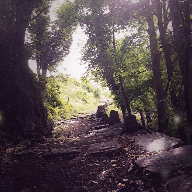
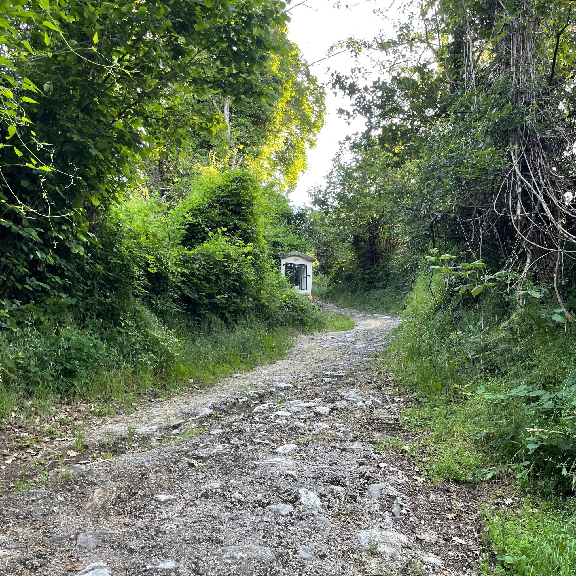
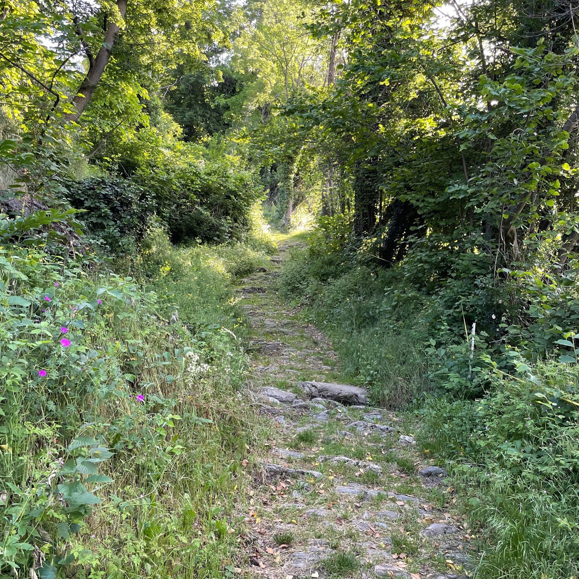
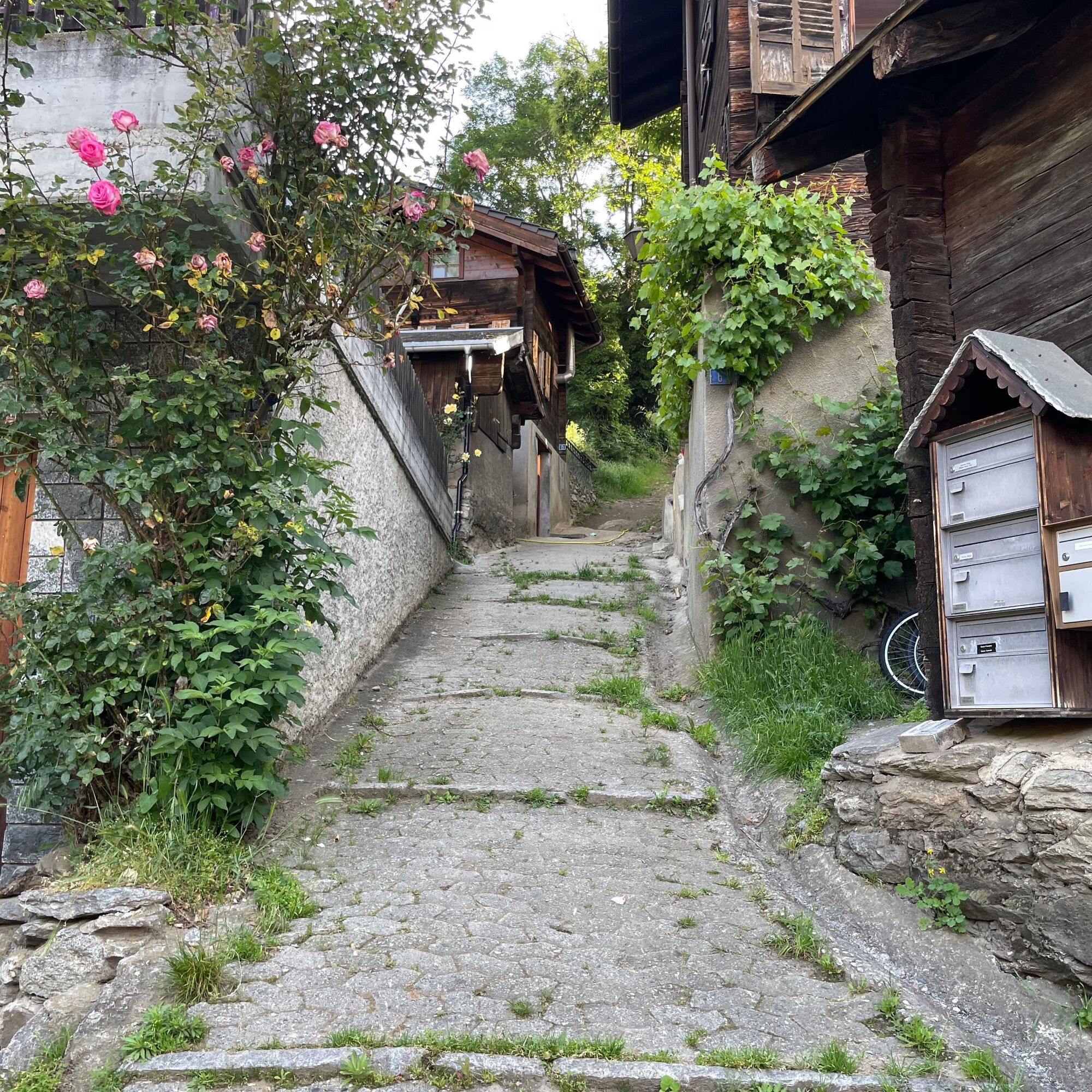
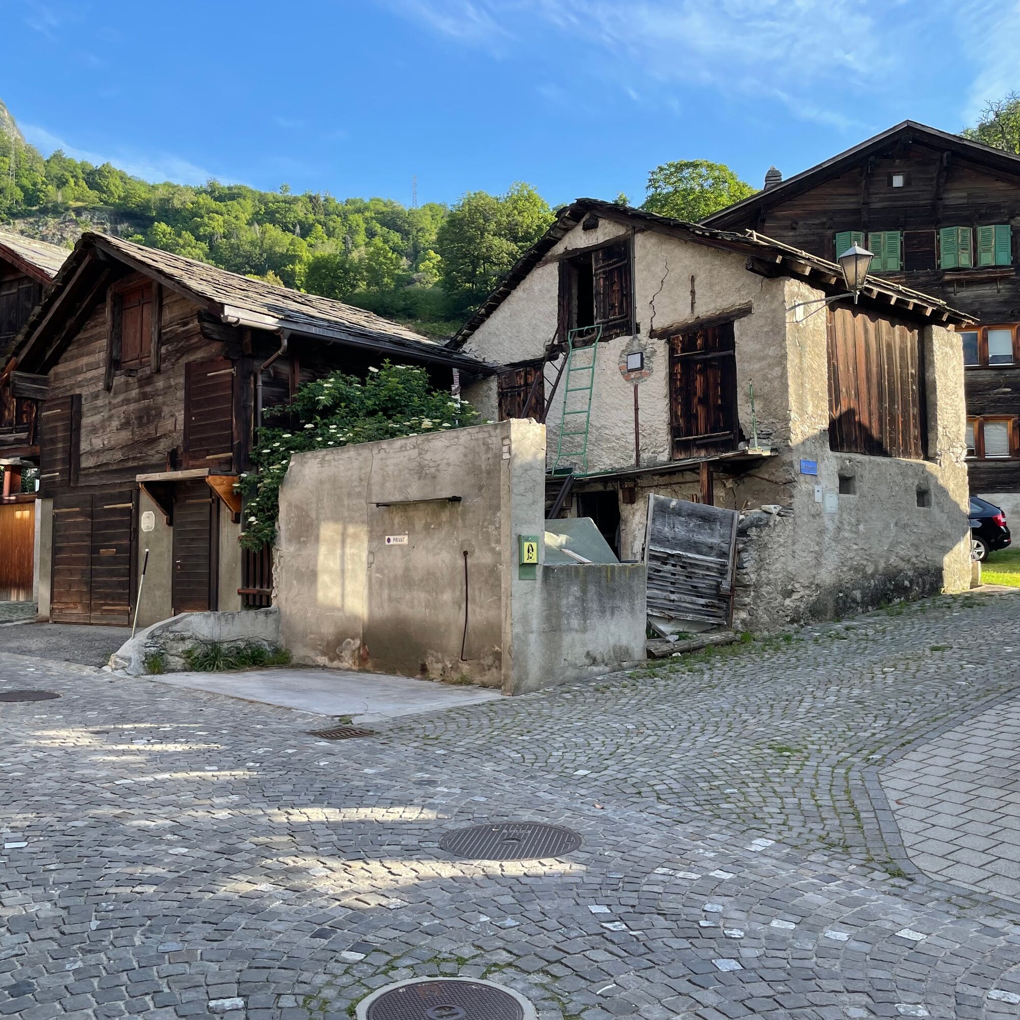
From the marketplace in Naters, walk towards the church and up along Schulhausstrasse to Klosi. Here follow signs towards "Geimen and Blatten." Shortly thereafter, leave the road and follow the old path. Follow it until you reach a road crossing. Here follow the road towards Bellavista and then branch off onto the official hiking trail through Stahlgasse. From here, you return to the old village and back to the starting point of the hike.
Naters - Old village - Klosi - Bellavista - Stahlgasse - Old village - Naters
Sturdy footwear, weather-appropriate clothing, sun and rain protection, as well as sufficient supplies of food and drinks, are recommended in case there are no dining or shopping options available or open. Although the path is very well marked throughout, you should always carry a suitable hiking map for safety reasons. Bring poles or other aids.
Despite the "unmissable" marking of the hiking trails, we recommend always carrying an appropriate hiking map for safety reasons, so that, for example, in case of a thunderstorm or emergency you can quickly find a safe area.
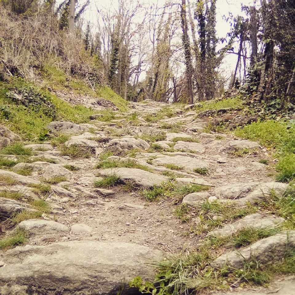
Especially in autumn, take care because fallen leaves on the ground may cover unevenness, roots, stones, or holes in the path. After storms, trees can still fall or branches can drop. Particularly in adverse weather conditions, natural paths can be muddy and slippery. You should expect such path obstructions when hiking.
Not all rocks or drop-offs are secured with ropes or railings. Surefootedness is sometimes required. If you consider certain sections of the path impassable for you, you should avoid them.
Arrival by car
From western Switzerland: A9 Lausanne - Vevey, or from northwestern Switzerland: A12 Bern - Vevey: A9 - Sierre: main road Sierre - Brig
From northwestern Switzerland: A6 Bern - Thun - Spiez: main road Spiez - Kandersteg (car shuttle Lötschberg tunnel) - Goppenstein - Gampel - Brig
From eastern and central Switzerland: Andermatt - Realp (year-round car shuttle Furka; in summer via Furka pass) - Oberwald - Brig
From Ticino (in summer): Airolo - Nufenen pass - Ulrichen – Brig
Or via Centovalli – Domodossola – Simplon pass – Brig
From Italy (Aosta, Mt. Blanc Tunnel): Aosta - Grand Saint Bernard tunnel (in summer via the pass) - Martigny: highway A9 - Sierre: main road Sierre – Brig
Or via Domodossola – Simplon pass – Brig
Take the post bus or the local bus (line 1) from Brig to Naters marketplace and start your route there.
You can also start your route by walking directly from Brig through Naters.
There are several paid parking lots and parking garages available both in Naters and Brig.
Enjoy the view of Naters and Brig.
Népszerű túrák a környéken
-
4,0
Panoramaweg über den Aletschgletscher
közepesKirándulás 17,7 km -
4,0
Panorama Tour Aletsch Arena
közepesKirándulás 14,7 km -
CIRCULAR WALK MASSEGGA SUSPENSION BRIDGE
könnyűKirándulás 6,44 km -
UNESCO Höhenweg
Kirándulás 3,70 km -
5,0
Aletsch Sightseeing
közepesTéli kirándulás 15,5 km -
Panoramaweg Visperterminen
könnyűKirándulás 9,72 km -
4,0
NATICHERBERG CIRCULAR TRAIL
közepesKirándulás 12,1 km -
4,0
Eggishorn via ferrata
közepesVia ferrata 1,39 km -
5,0
Moosalp Panoramaweg
könnyűKirándulás 6,36 km -
Gibidumpass
könnyűKirándulás 11,6 km
Túrázás & nyomkövetés


Ne maradjon le az ajánlatokról és az inspirációról a következő nyaralásához!
Az Ön e-mail címe hozzá lett adva a levelezőlistához.