
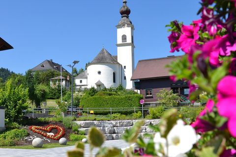
Welcome to Aich!
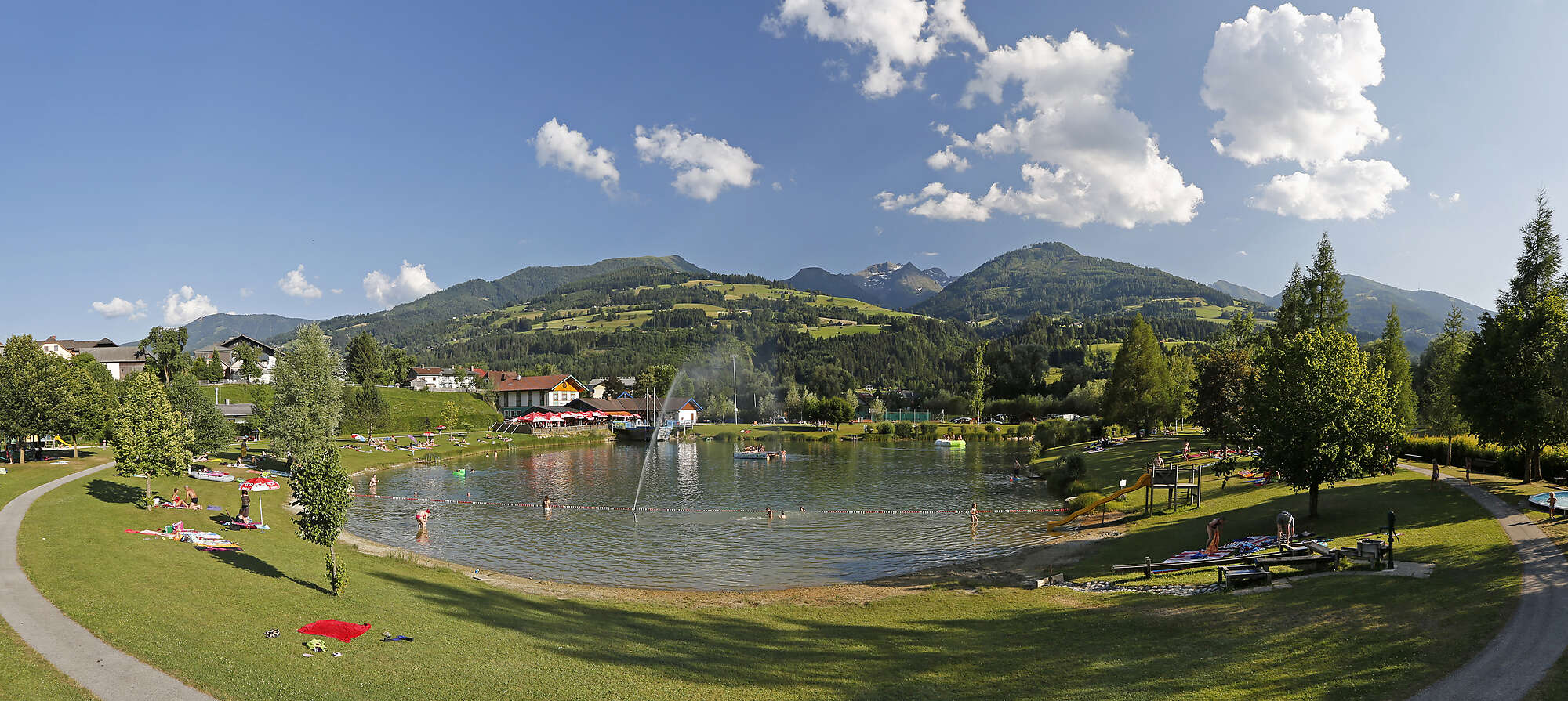
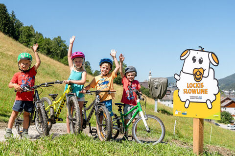
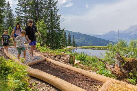
In summer, the recreational lake area with all its facilities such as beach volleyball, table tennis, children's playground, two clay tennis courts and a children's tennis court as well as a climbing tower with various levels of difficulty is very popular. Aich is also home to the Archduke Johann shooting range and a wide range of well-marked hiking trails.
The highest peaks...
Welcome to Aich!
In summer, the recreational lake area with all its facilities such as beach volleyball, table tennis, children's playground, two clay tennis courts and a children's tennis court as well as a climbing tower with various levels of difficulty is very popular. Aich is also home to the Archduke Johann shooting range and a wide range of well-marked hiking trails.
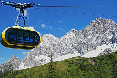
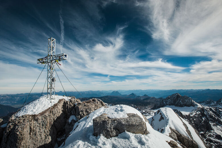
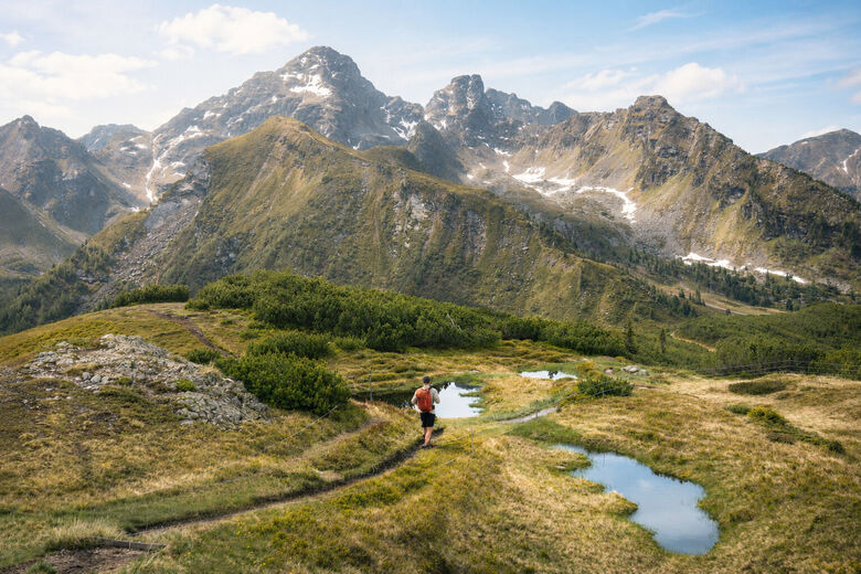
The highest peaks of the Schladminger Tauern rise like a spine above the district of Gössenberg. The wonderful water landscape of the “Seewigtal” nature reserve is nestled in the middle.
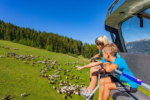
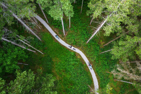
Gössenberg is still characterized by the culture of the mountain farmers up to the highest altitudes. Dark green forests and alpine pastures surround the agriculturally used area. The unique Seewigtal valley with the 3-lake landscape “Steirischer Bodensee - Hüttensee - Obersee” has been a popular day trip destination for decades. Two well-maintained panoramic roads allow access almost to the end of the valley (1.143 m). From here, it is only a 15-minute walk to the Steirischer Bodensee (1.157 m). For hikers, on the other hand, the numerous marked paths and trails are highly desirable, for example to the Hans-Wödl-Hütte (1.528 m) and up to the Höchstein (2.543 m) and Hochwildstelle (2.747 m).
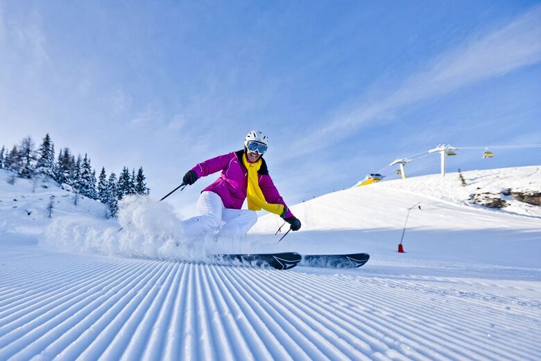
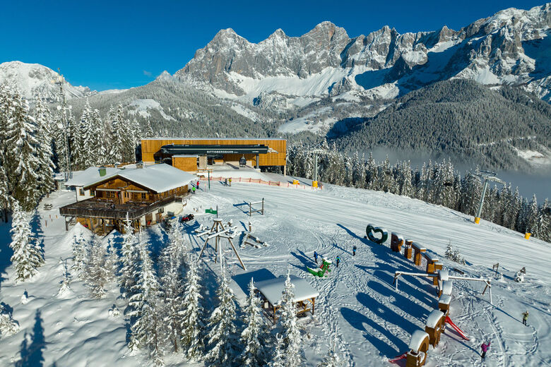
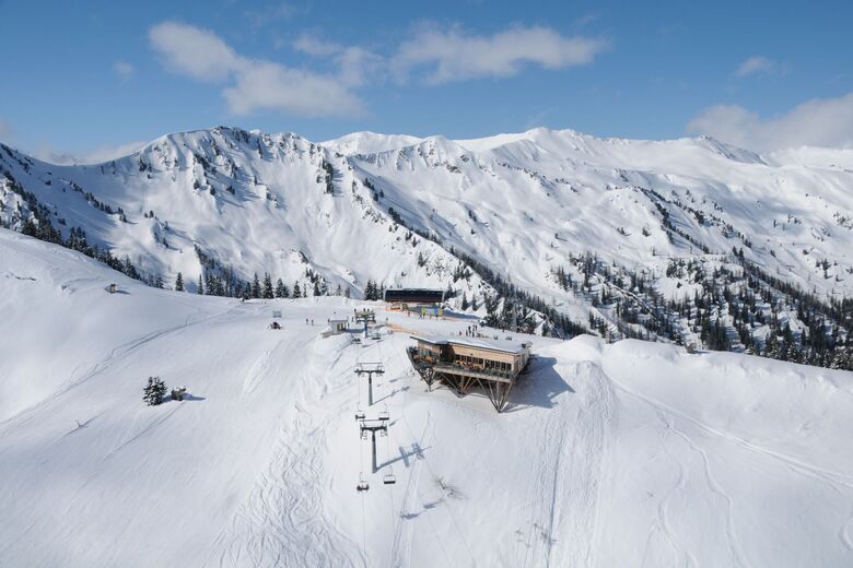
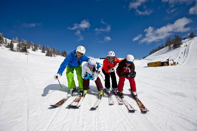
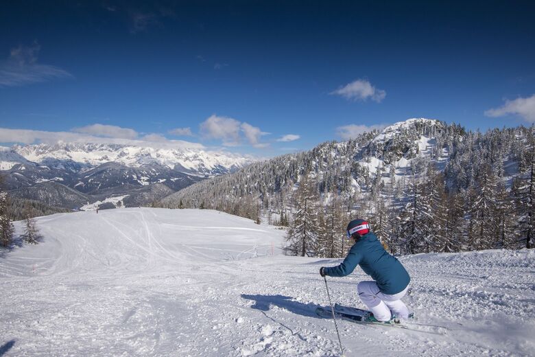
In addition to the Schladming 4-mountain ski area Hauser Kaibling-Planai-Hochwurzen-Reiteralm on the doorstep with its numerous winter sports facilities, there is also an extensive network of cross-country ski trails available in winter - provided there is sufficient natural snow.
Tervezze meg nyaralását
Kapcsolatfelvétel

Szabadidős tippek
Sportszolgáltató
-
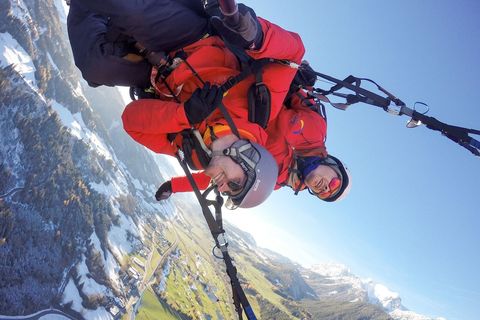
Flugschule Sky Club Austria
Tavaszi átalány -
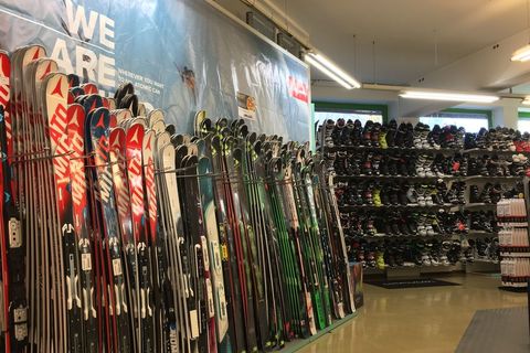
Sport 2000 Mandl
Téli sport / Kerékpársport / Winter-Shops/Verleih / -

Alpincenter Dachstein
Vízi sport / Hegyi sport / Tavaszi átalány / Outdoor - adventure / Kerékpársport -
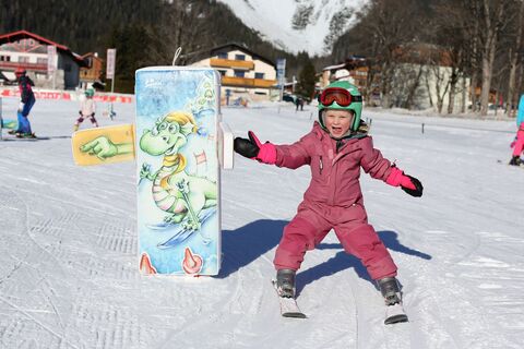
Skischule Ramsau
Téli sport -
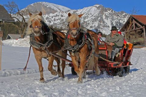
Pferdeschlittenfahrten Sporthof Austria
Téli sport -
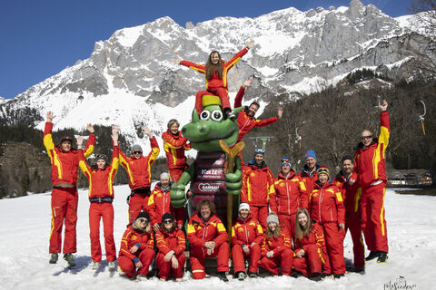
WM Schischule Royer
Téli sport / További szabadidő ajánlatok -
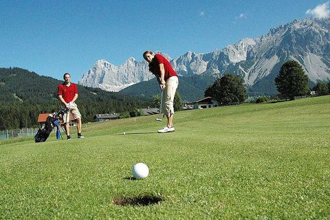
Biogolfplatz Kobaldhof
Golf / További szabadidő ajánlatok / Tenisz -
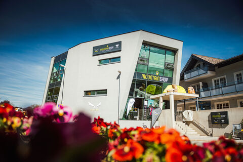
Salewa Mountain Shop Schladming
Winter-Shops/Verleih -
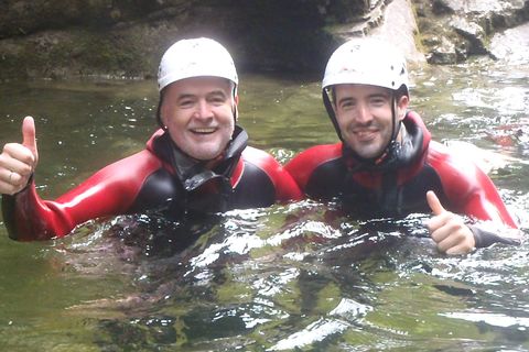
myadventure
Vízi sport / Téli sport / Hegyi sport / További szabadidő ajánlatok / Outdoor - adventure -
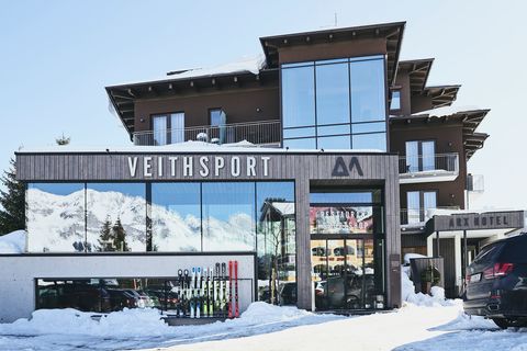
Veith Sport Skiverleih & Shop
További szabadidő ajánlatok / / Winter-Shops/Verleih -
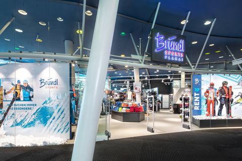
Bründl Sports Planet Planai
-
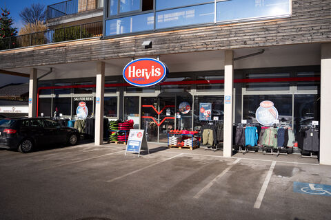
Hervis Sportgeschäft Skiverleih Schladming
/ Winter-Shops/Verleih


Túrázás & nyomkövetés


Ne maradjon le az ajánlatokról és az inspirációról a következő nyaralásához!
Az Ön e-mail címe hozzá lett adva a levelezőlistához.