


8 - Around the Waterfall


The former residential city of Bad Urach lies in the middle of the UNESCO Swabian Alb Biosphere Reserve. Wonderful nature, fresh air, and the picturesque half-timbered town provide relaxed deep breaths...
The former residential city of Bad Urach lies in the middle of the UNESCO Swabian Alb Biosphere Reserve. Wonderful nature, fresh air, and the picturesque half-timbered town provide relaxed deep breaths and restful vacation days.

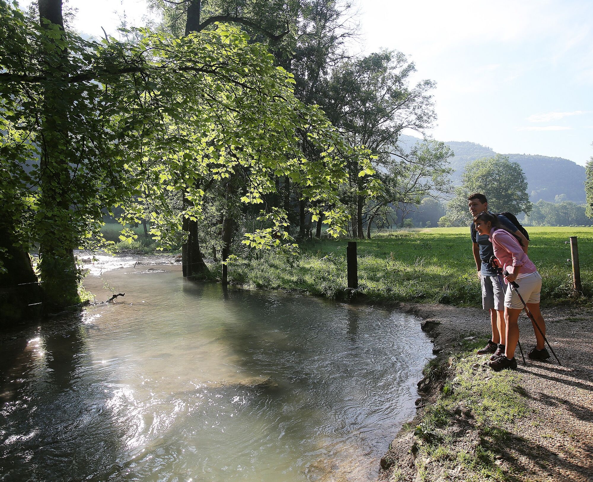
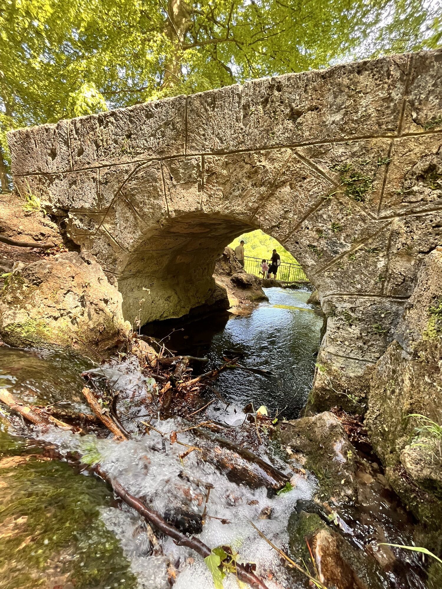
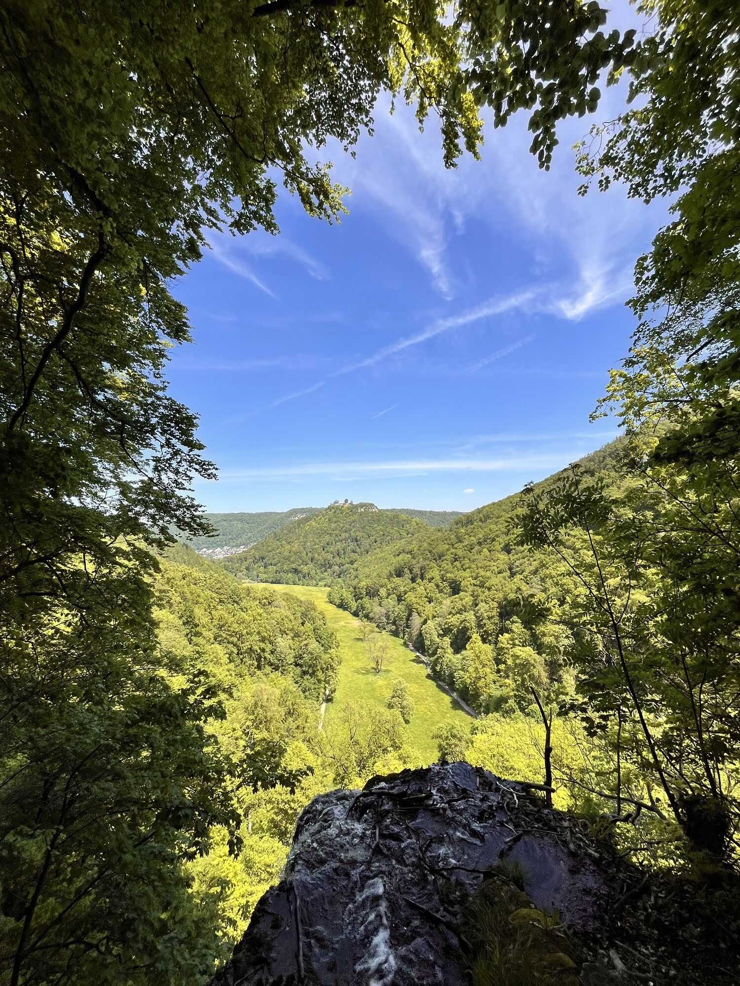
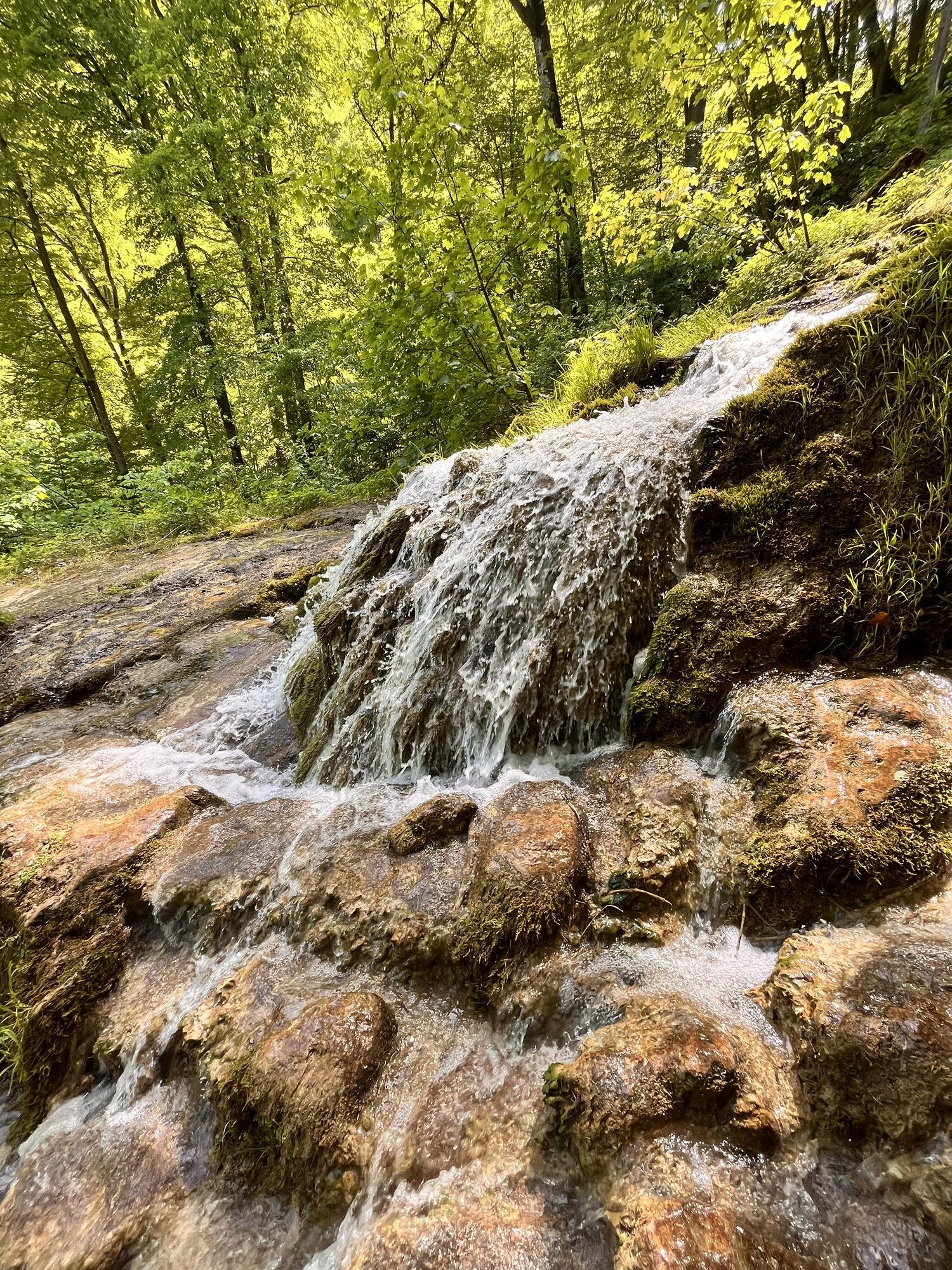
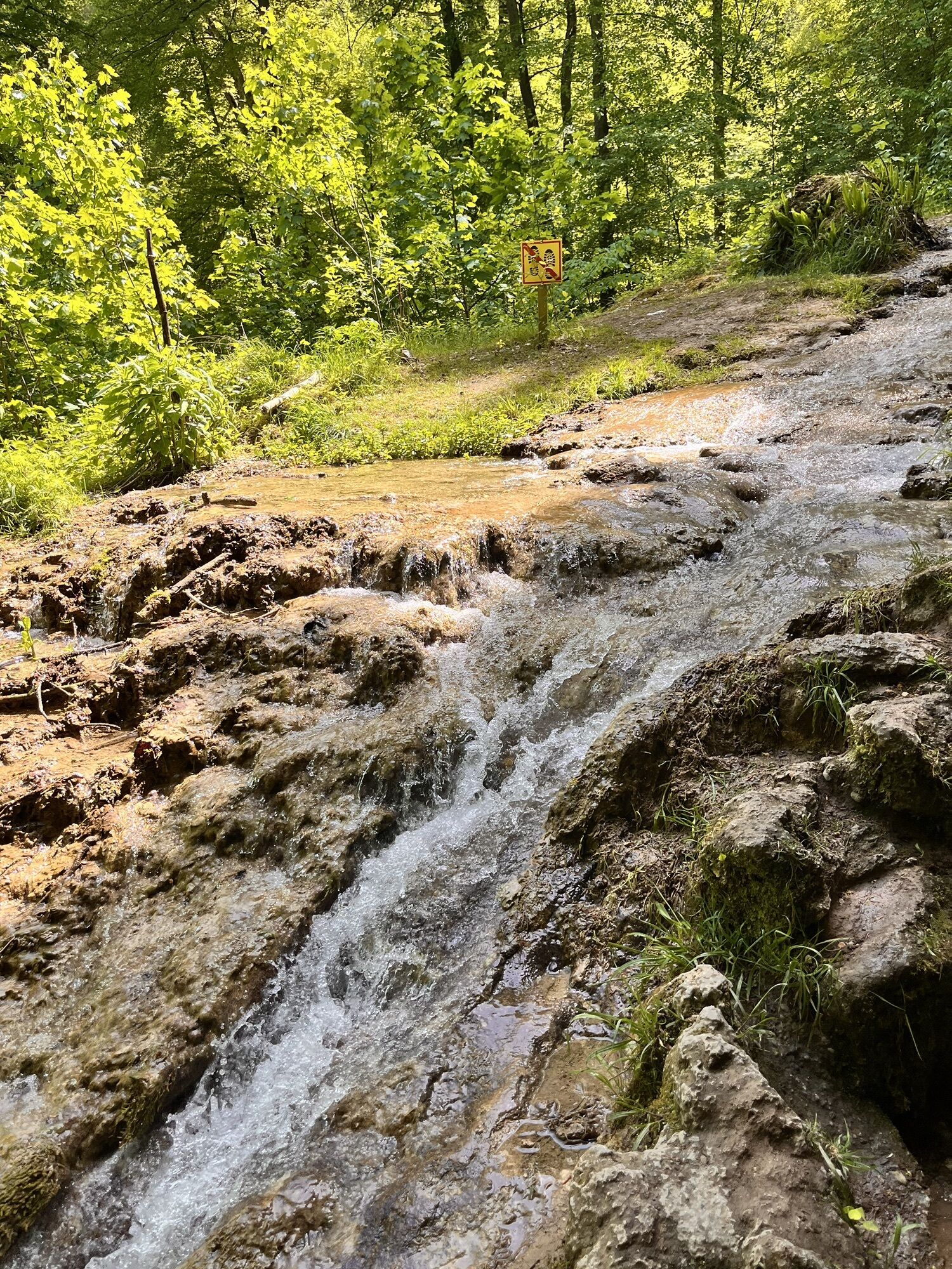
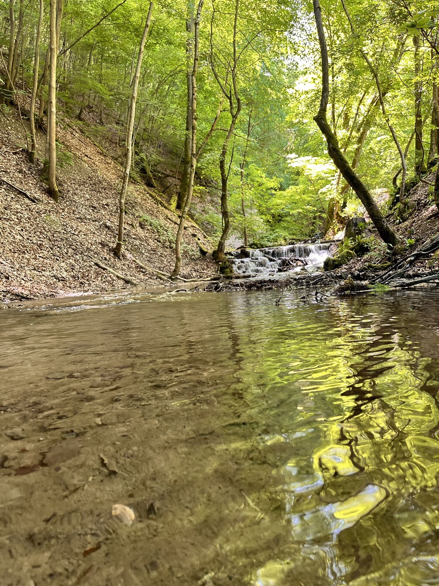
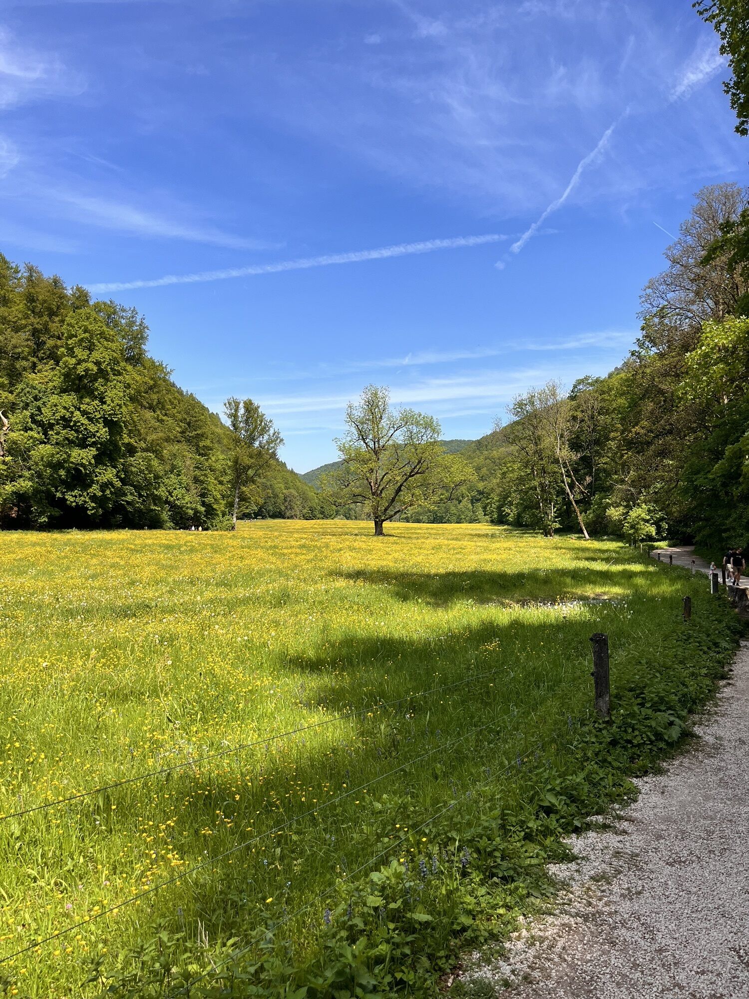
The starting point is the Maisental hiking parking lot P23 at the foot of the Schlossberg. From there, we walk along the winding Brühlbach into the valley of the same name. Along the floodplains, we enjoy the wild romantic landscape and the lush green of the trees until we already hear the roar of the Urach Waterfall from afar. At the end of the valley, we climb up a developed natural path with stairs along the biggest waterfall of the Swabian Alb. In small switchbacks, we reach the Hochwiese. At the nearby resting place, we can take a relaxed break.
We now stay at this height and walk a wide forest path towards the Hohenurach Castle Ruin. Soon we reach the so-called "Kreuz" just before the ascent to the castle ruin, where there is a shelter with a barbecue spot. We leave this on the right and at the following intersection, go down the path ahead to the right towards the town center. The wide forest path continues downhill here. Shortly before reaching parking lot number 9, we turn half-left onto the so-called Graf-Eberhard-Weg, which leads us without further detours back to our starting point, the Maisental hiking parking lot P23.
Note: all paths managed by the Bad Urach spa administration are signposted on both sides and therefore can be walked in both clockwise and counterclockwise directions. The route description given is only a recommendation; you are welcome to hike the path in the opposite direction as well without any problems.
Igen
Igen
Sturdy footwear, hiking poles, and sure-footedness are recommended for this route.
Our circular routes are not stroll paths but hiking trails. Sturdy footwear, hiking poles, and sure-footedness are recommended for all routes. Especially after and during rainfall as well as in the winter months, the calcareous rock and soil, especially on slopes, can be very slippery. Please exercise appropriate caution.
In an emergency, always dial 112. Please mention if the injured persons are located in inaccessible terrain, so that the Bad Urach mountain rescue service is also informed, preventing unnecessary delays during rescue.
On the posts of the direction signs, you will find a plaque with the exact location number. This is known to the control center. In emergencies, this ensures fast help.
From the west towards Reutlingen on the B28 to Bad Urach. From the north/east on the A8 to Kirchheim unter Teck and then on the B465 and B28 to Bad Urach. Continue on the B28 to the Bad Urach Wasserfall station, then turn into the Vorderes Maisental and park at the Maisental hiking parking lot (P23).
Take the Ermstalbahn to the Bad Urach Wasserfall stop. Then continue on foot to the southern end of the Maisental hiking parking lot (P23). Timetable information at www.naldo.de.
Maisental parking lot P23
Discover also our 5 premium hiking routes Grafensteige: Wasserfallsteig, Hohenurachsteig, Hochbergsteig, Hohenwittlingensteig, or Seeburgsteig. All premium routes are suitable for sporty and sure-footed hikers and take you to the most beautiful places in Bad Urach.
http://www.badurach-grafensteige.de
Népszerű túrák a környéken
-
4,8
Wasserfallsteig Bad Urach
közepesKirándulás 10,2 km -
4,0
Bad Urach Wasserfälle Rundwanderung
közepesKirándulás 11,4 km -
4,8
Hohenwittlingensteig Bad Urach
közepesKirándulás 6,48 km -
4,8
Hohenurachsteig Bad Urach
közepesKirándulás 7,65 km -
4,0
Bad Urach Wasserfall, Runde von Buchhalde
közepesKirándulás 12,1 km -
Trauf, Höllenlöcher, Wasserfälle und Tal
közepesKirándulás 15,8 km -
5,0
Lenningen: Weiße Lauter, Wasserfels, Guttenberger-,Gußmannshöhle, Schopflocher Moor, Hohgreutfels, Ruine Wielandstein
közepesKirándulás 15,7 km -
4,0
Seeburgsteig Bad Urach
közepesKirándulás 8,19 km -
5,0
Breitensteinrunde
könnyűKirándulás 10,3 km -
Rundweg Uracher Wasserfall Bad Urach, Deutschland
könnyűKirándulás 5,26 km

Túrázás & nyomkövetés


Ne maradjon le az ajánlatokról és az inspirációról a következő nyaralásához!
Az Ön e-mail címe hozzá lett adva a levelezőlistához.