


The Rhenish Apple Route


North Rhine-Westphalia’s largest fruit and vegetable growing region offers a unique cultural and natural landscape, especially in spring during the fruit blossom and in autumn at harvest time. Unfortunately,...
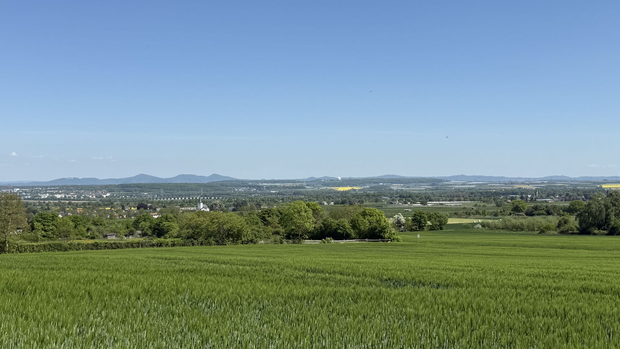
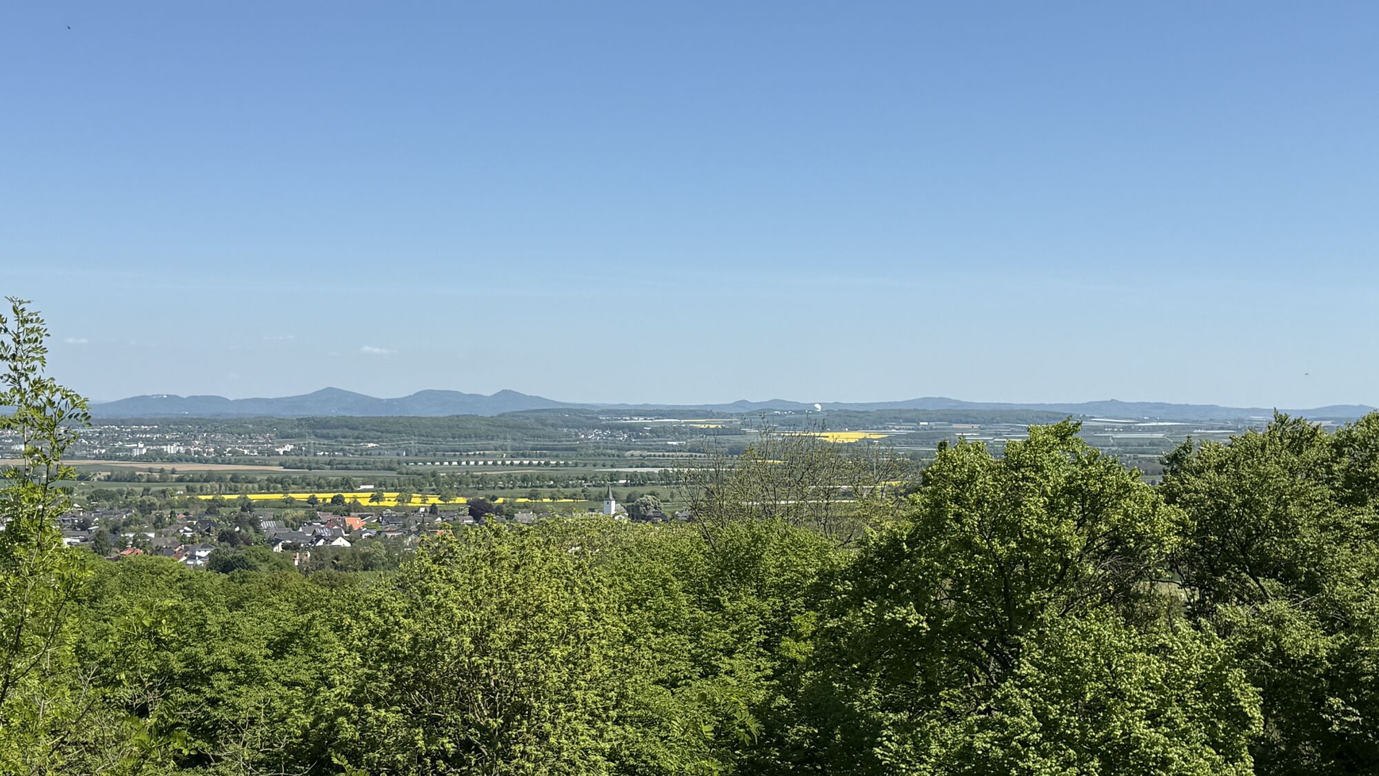
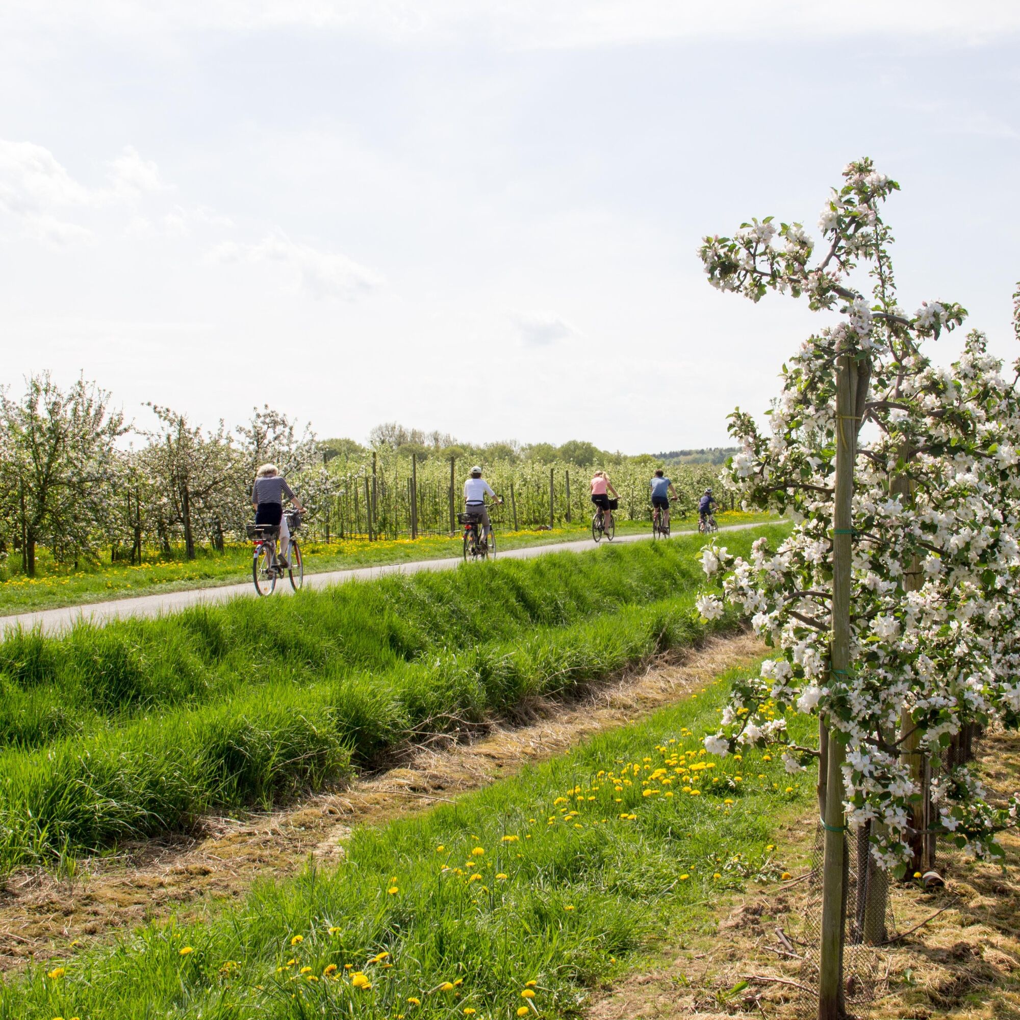
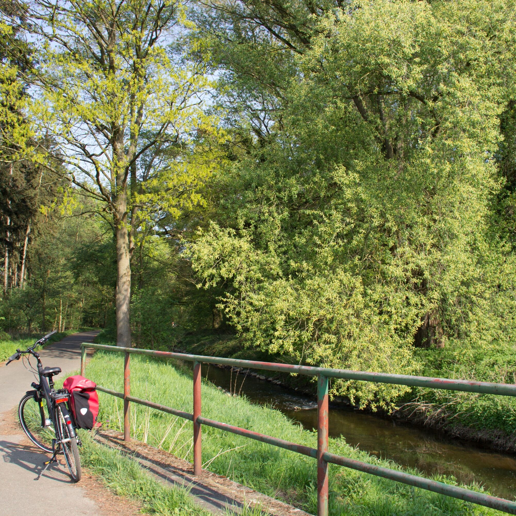
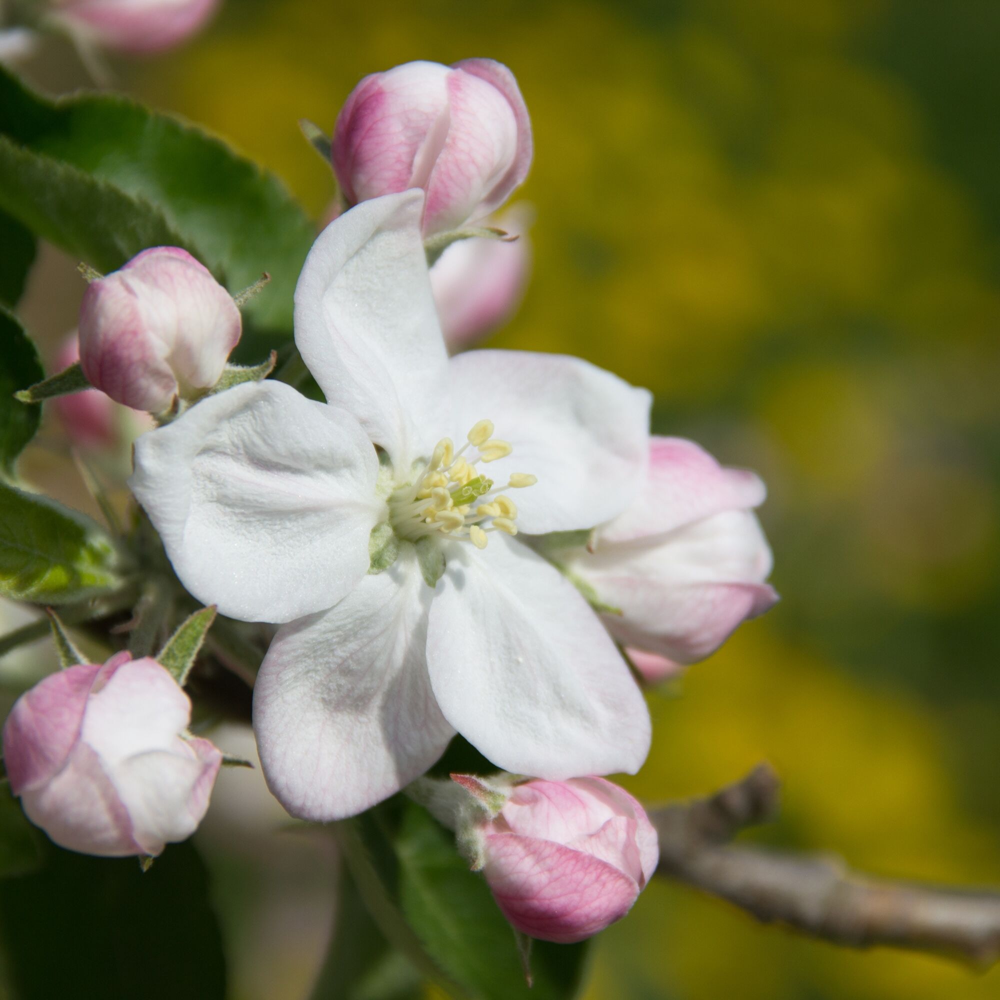
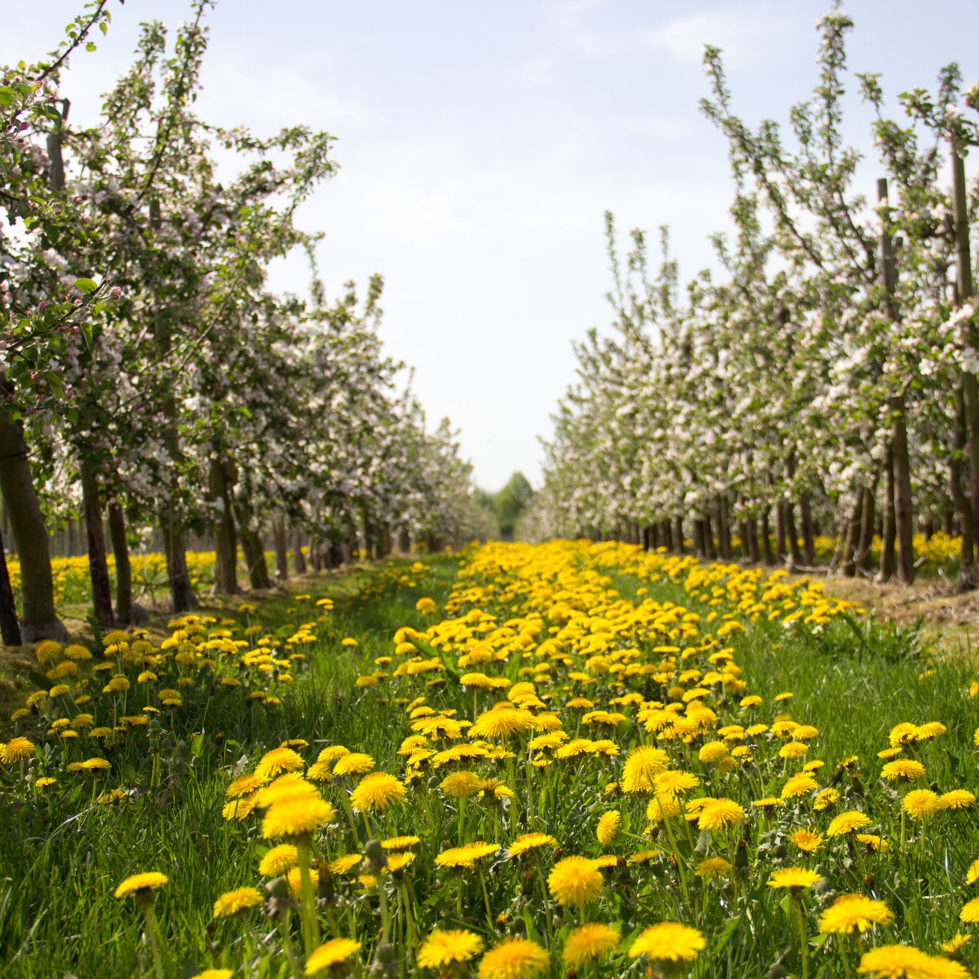
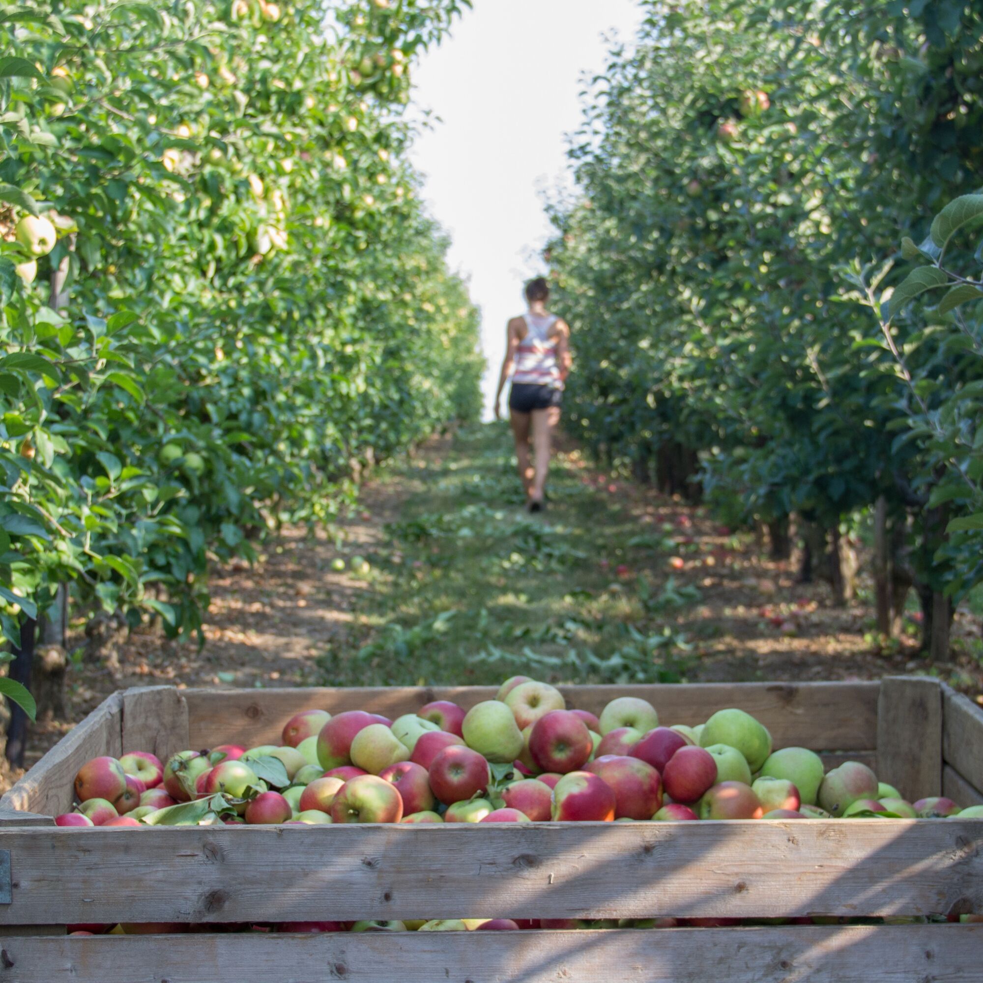
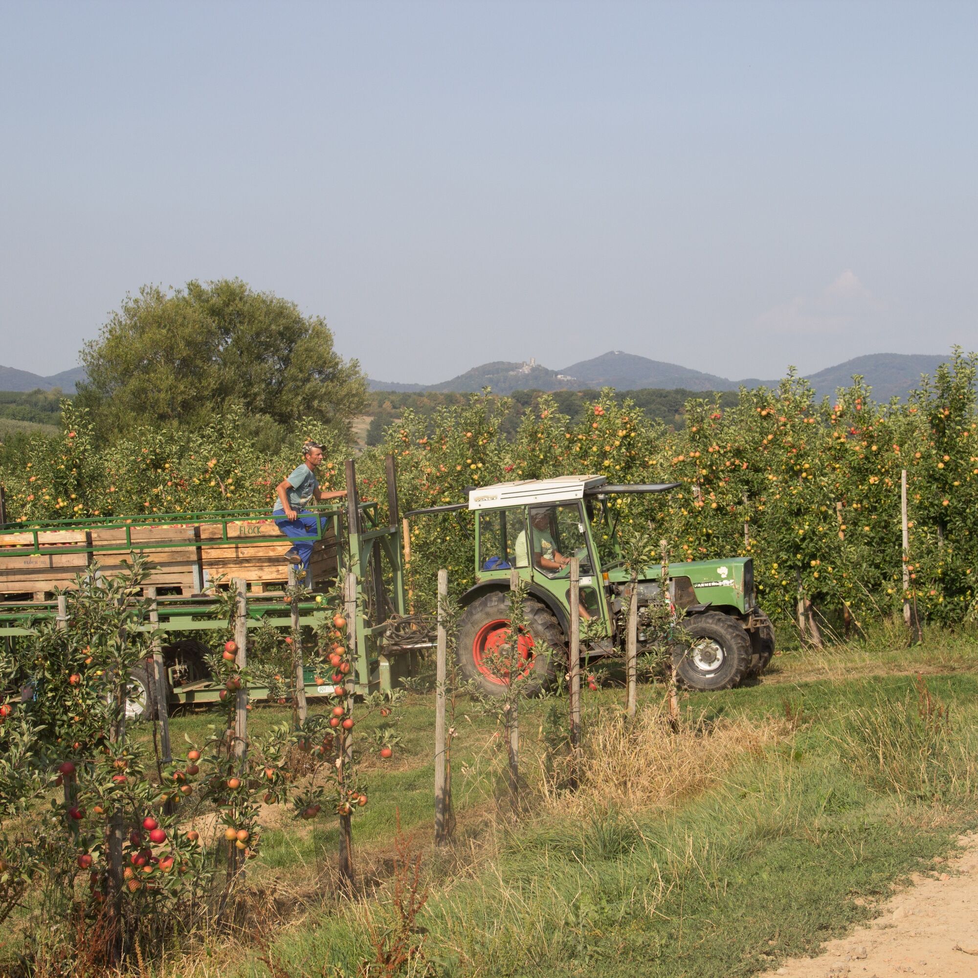
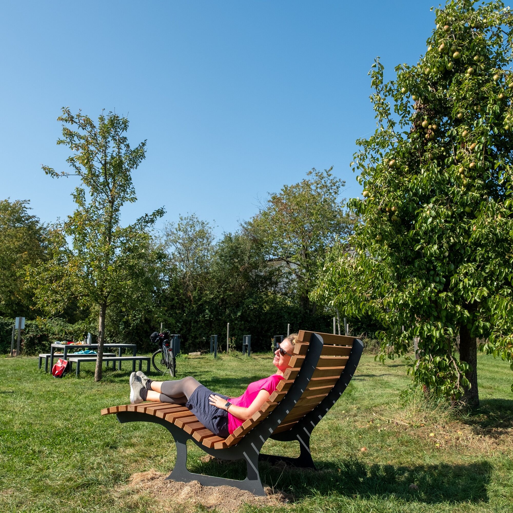
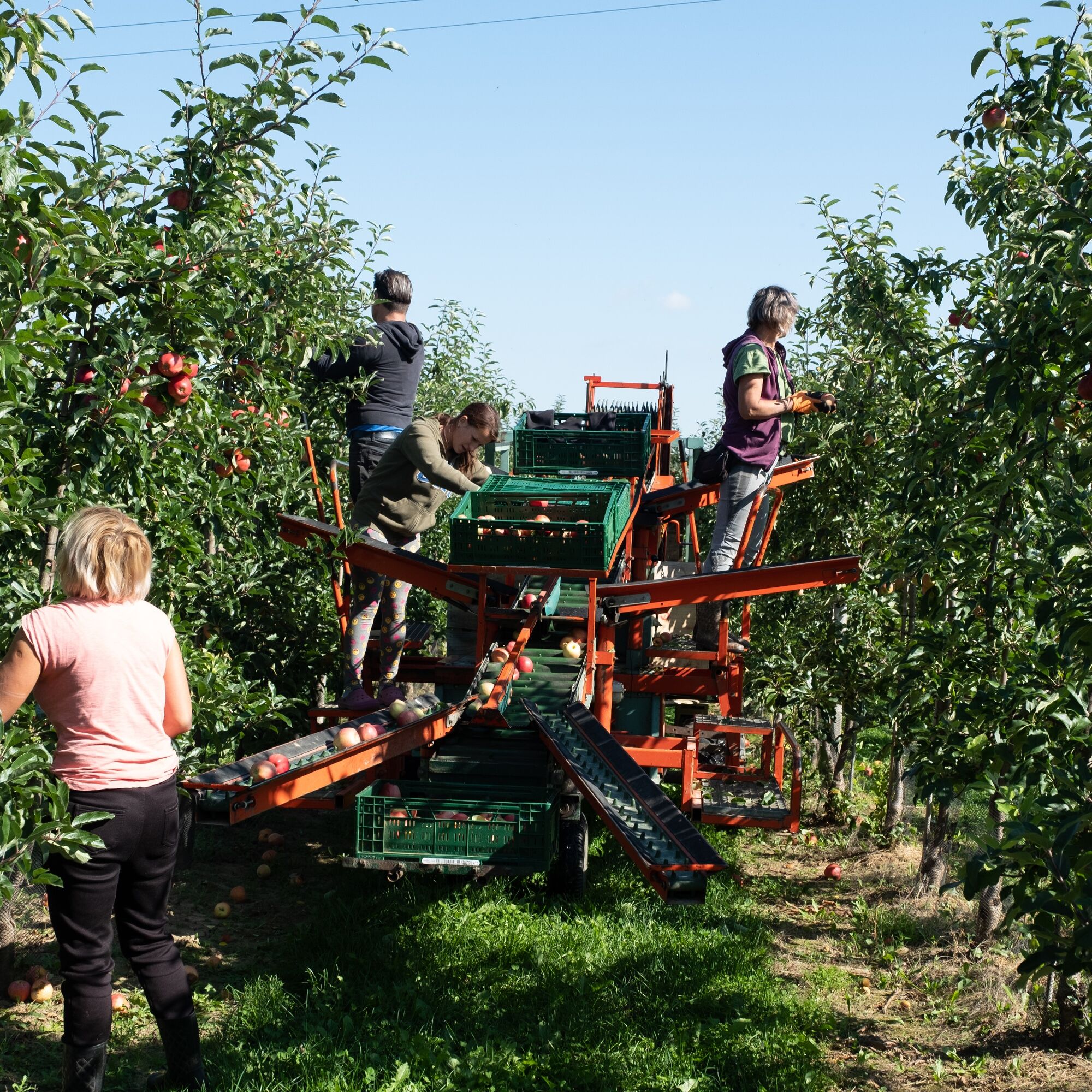
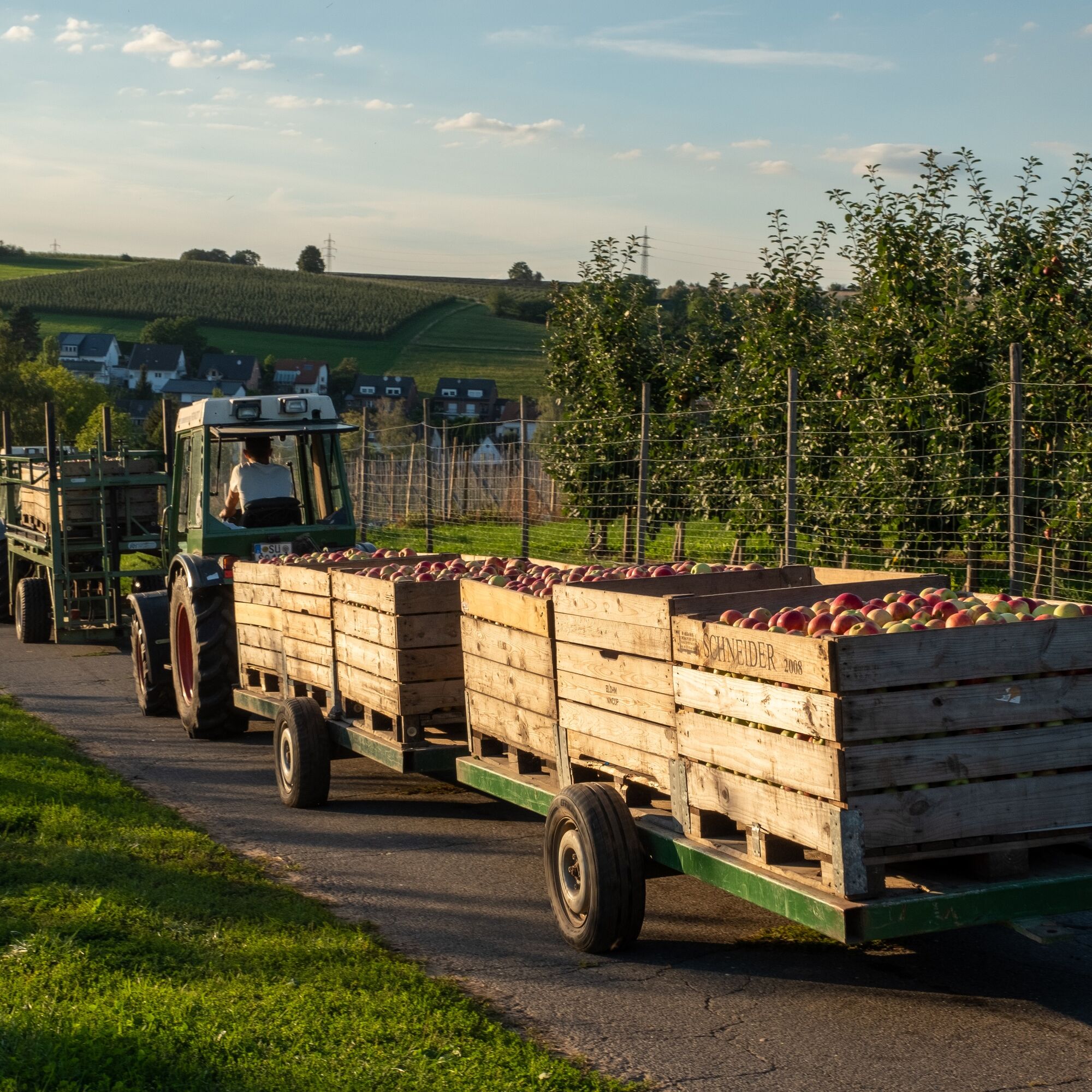
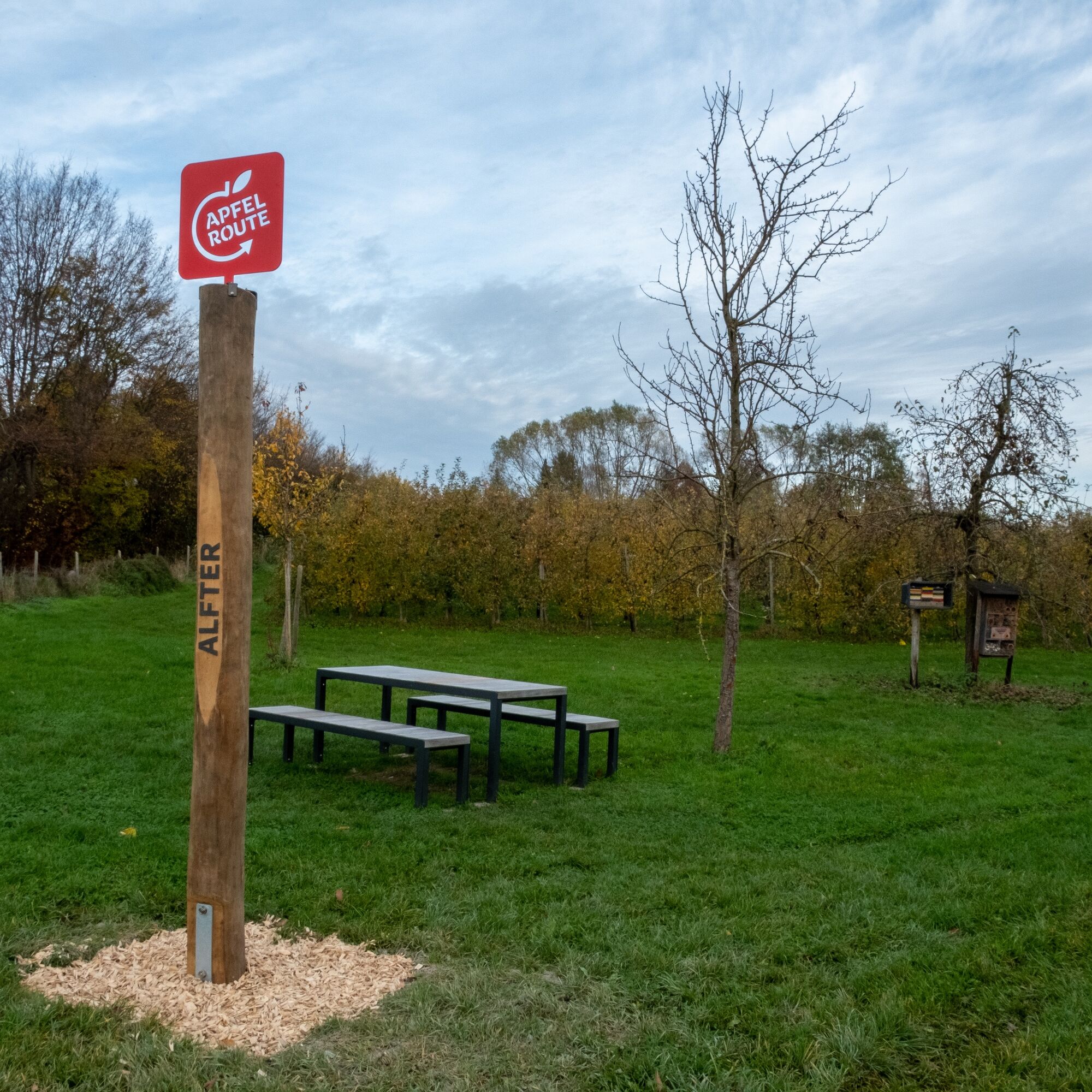
North Rhine-Westphalia’s largest fruit and vegetable growing region offers a unique cultural and natural landscape, especially in spring during the fruit blossom and in autumn at harvest time. Unfortunately, cycling uphill can’t be entirely avoided, but you will almost always be rewarded with great panoramic views. Whether to the Eifel, the Ahr valley, or even to Cologne Cathedral – they are all spectacular. The themed cycling route leads along low-traffic and well-paved paths. On most of the route, you can relax and enjoy nature on wide agricultural roads. The main route is about 90% paved and offers comfort in all weather. Numerous farm shops, farm cafés, restaurants, and accommodations along the way give you the chance to stop, relax, and buy regional products. At the 12 newly designed rest stops along the main route, you can take breaks and unwind. Attractive experience stations offer interesting information about regional agriculture and cultural landscape.

The Rhenish Apple Route forms a circular route through the entire Rhine-Voreifel region. Along the way, you get unique insights into North Rhine-Westphalia’s largest fruit and vegetable growing area.
You can start at any point of the route. The direction is also up to you. For the sake of simplicity, this short route description assumes Alfter town as the starting point and describes the route clockwise:
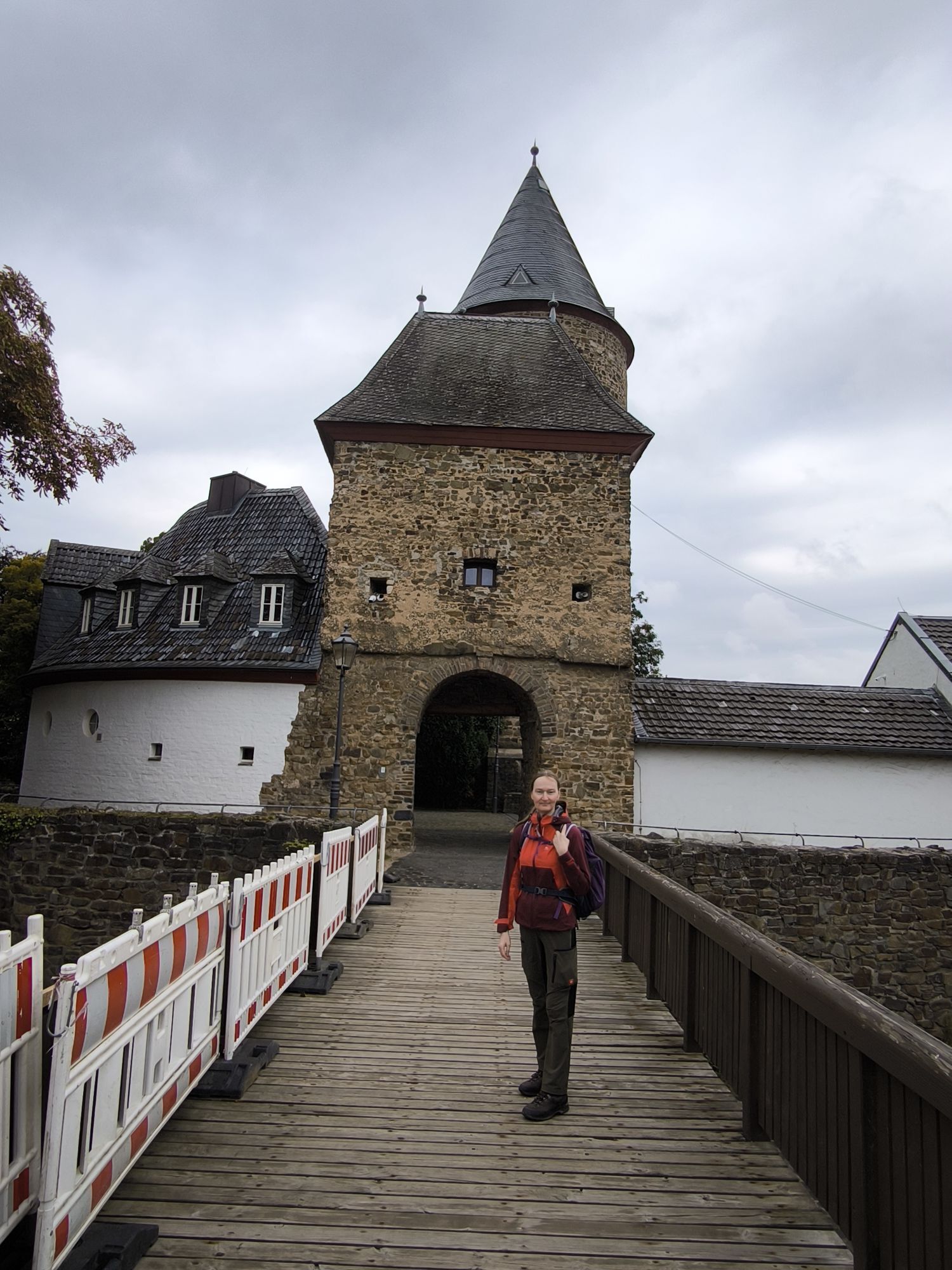
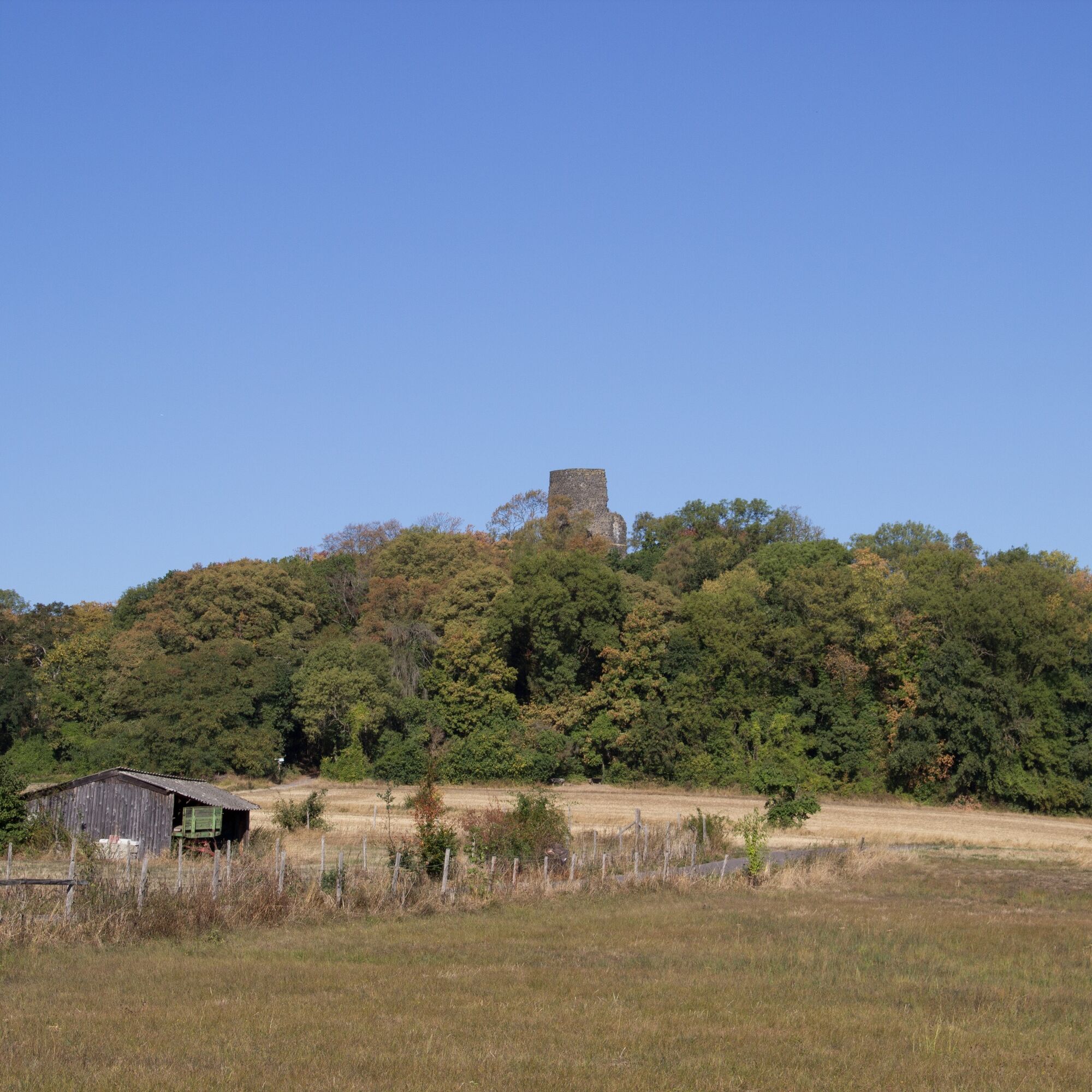
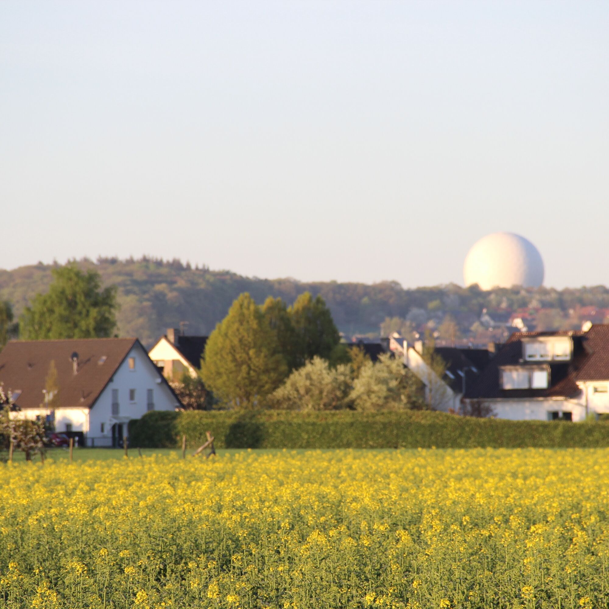
Right outside Alfter, we start with a steep climb up to the high plain of the Rhine terraces. Don’t be alarmed! Unfortunately, this climb cannot be avoided due to traffic conditions and topography and remains a single exception. The reward is breathtaking views and low-traffic cycle paths through apple plantations. Passing through the Alfter districts of Ramelshoven, Volmershoven, and Heidgen, we enter the Kottenforst, the former hunting ground of the Electors of Cologne. On the other side of the forest lies the picturesque Drachenfelser Land. The Rhenish Apple Route passes half-timbered houses, rural charm, and numerous berry and apple plantations. Throughout, you can repeatedly gaze in amazement at the Siebengebirge mountains across the Rhine. By bike, we continue through Berkum, home of the widely visible radar dome (radar cupola of the Fraunhofer Institute), and the potter’s village of Adendorf towards the apple city Meckenheim. Here, countless apple trees characterize the route. The fruit plantations are interrupted by large, park-like nursery fields before entering Meckenheim’s center. After passing the charming village of Lüftelberg, we reach Rheinbach. Rheinbach’s cityscape is shaped by historic buildings but is also a modern economic location and site of the agricultural experimental station of the University of Bonn, Campus Klein Altendorf, which we pass on our route. From the Rheinbach district Oberdrees, we proceed to Swisttal. Characterized by beautiful wide views and vast meadows and fields, we cycle across wide plains with magnificent panoramas. Along the Swist River, a constant murmur of water accompanies us until Castle Heimerzheim, an impressive water castle now used as an event location and hotel. Through Heimerzheim, the Apple Route goes gently uphill onto the Rhine terraces of Bornheim. Downhill through numerous Bornheim districts, we reach the large vegetable fields in the Rhine plain. Fields full of lettuce, asparagus, vast fruit plantations, regional farm shops, and the Rhine offer varied views and many opportunities to marvel and relax. After a short detour to the Rhine, we cycle back to Alfter along the Ville slopes.
The Rhenish Apple Route is too long for a one-day trip! The route is designed as a multi-day trip (for 2-4 stages) to allow ample time for guided farm tours, relaxed breaks, and the attractive experience stations. Our Apple Route partners look forward to welcoming you as guests!
Igen
Train
You can reach us via the long-distance network of Deutsche Bahn and the regional network of the Rhine-Sieg Transport Association (VRS). The choice of the suitable station naturally depends on your desired start of the route. You can conveniently plan your arrival and departure online on the websites of the transport companies. www.vrsinfo.de www.bahn.de
Car
You can park your vehicle at many points along the route and start your bike ride directly. TIP: Choose your parking spot so that you can comfortably take the train back to your car in the evening!
The Rhenish Apple Route is especially worth seeing in spring and autumn. You can also learn a lot about fruit and vegetable cultivation in the region during guided farm tours at our partner businesses.
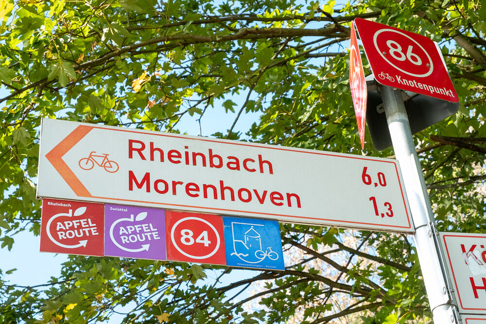
If the 124 km of the main route is not enough for you yet, you can explore the six side loops (each approximately 15-40 km). In Alfter, Bornheim, Meckenheim, Rheinbach, Swisttal, and Wachtberg, additional exciting sights and attractive local, regional, and distant views are visited that are not included in the main route.
Népszerű túrák a környéken
-
3,8
Königswinter - the classic hike
közepesKirándulás 6,34 km -
Wolkenburg und Nonnenstromberg
Kirándulás 13,0 km -
4,6
Drachenfängerrunde
közepesKirándulás 11,8 km -
Königswinter - Heisterbach Monastery Landscape
közepesKirándulás 10,6 km -
Biergarten Radtour Bonn & Königswinter
Biciklizés 27,9 km -
4,8
Kirschblüten-Tour Bonn & Beuel
közepesBiciklizés 25,0 km -
4,0
Beethoven hiking trail - His love of the landscape
nehézKirándulás 15,2 km -
5,0
Siebengebirge - Geo hike: Weilberg
könnyűKirándulás 6,01 km -
Königswinter - Oberdollendorf and its vineyards
közepesKirándulás 9,51 km -
Ich steig Raus | Eifelfüßler
nehézKirándulás 25,7 km
Túrázás & nyomkövetés


Ne maradjon le az ajánlatokról és az inspirációról a következő nyaralásához!
Az Ön e-mail címe hozzá lett adva a levelezőlistához.