


Route tip 116 (Handicap Route) - 2nd Cycling Experience Day Lower Rhine 2025


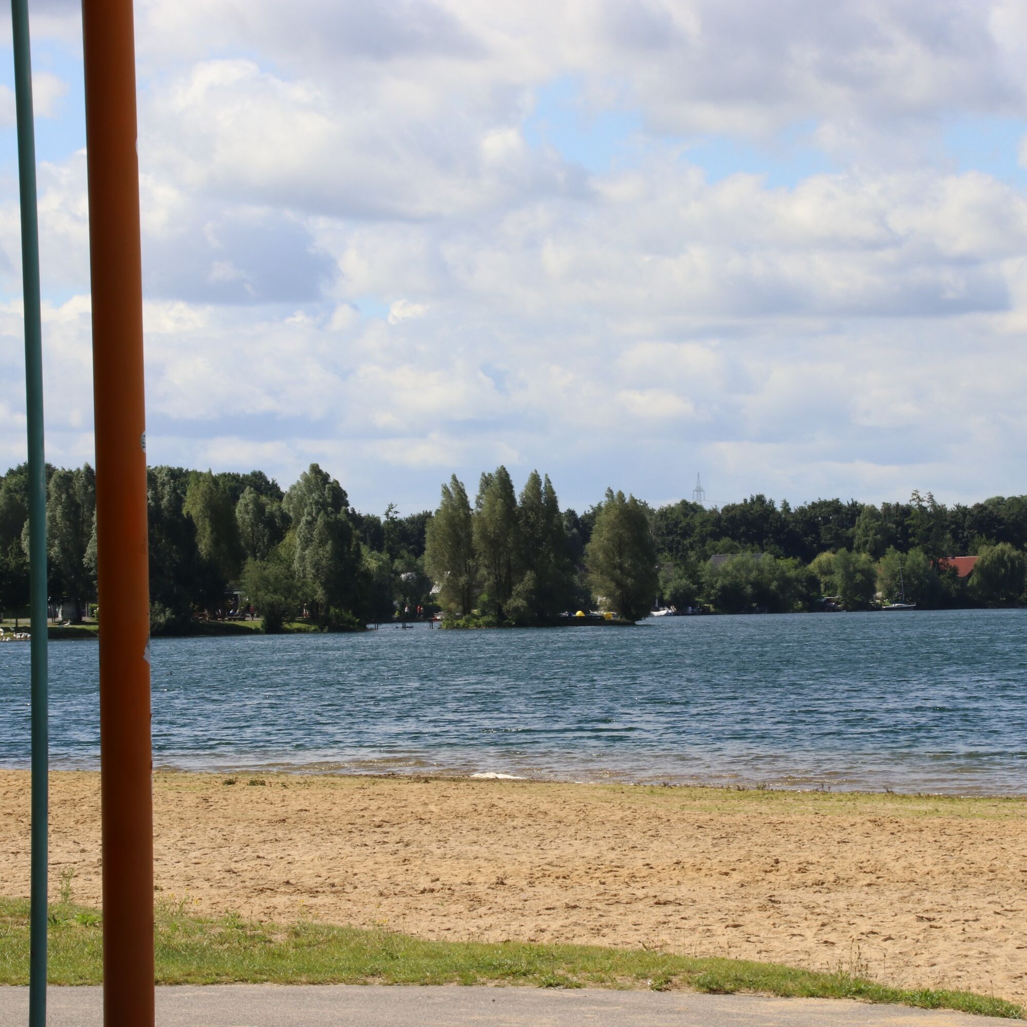
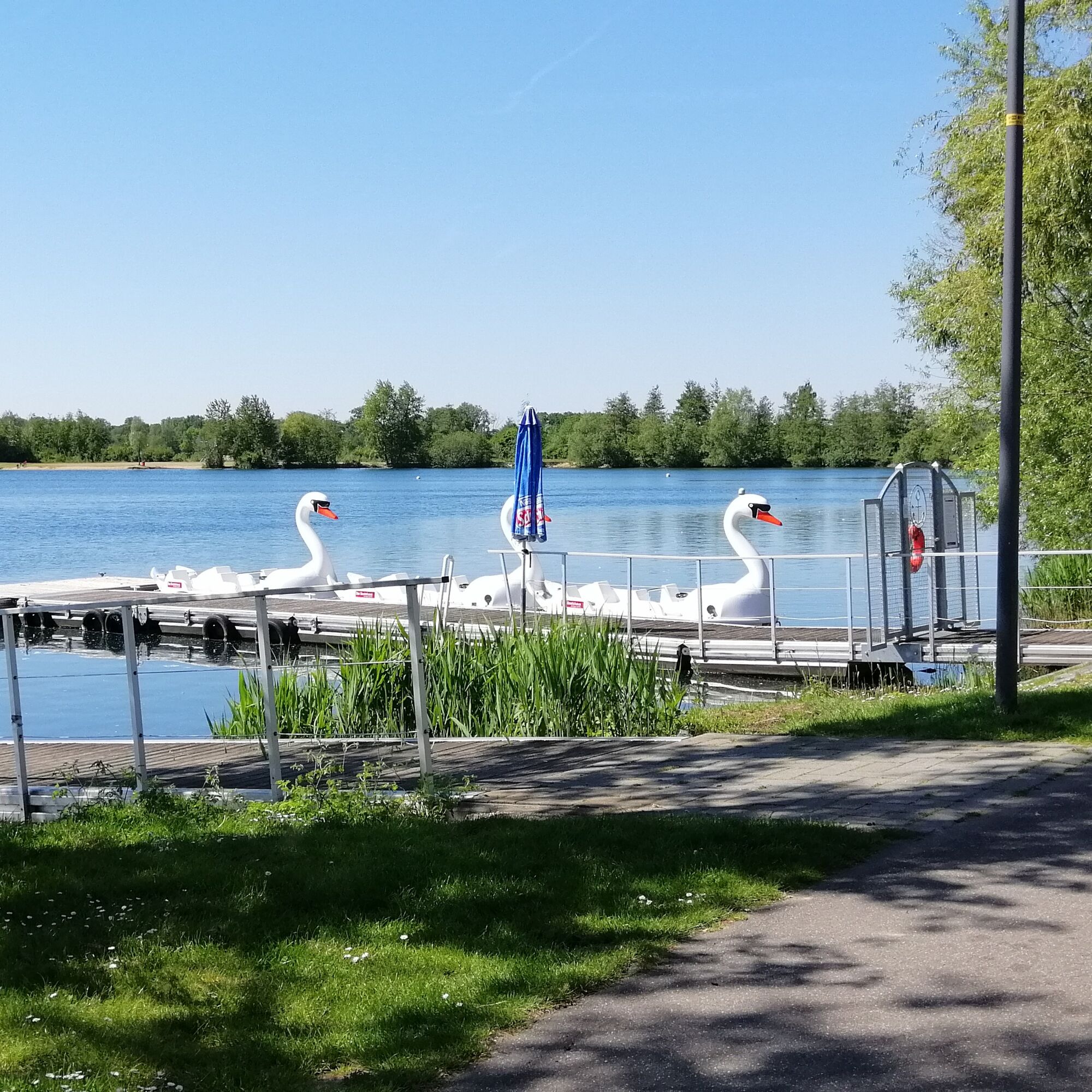
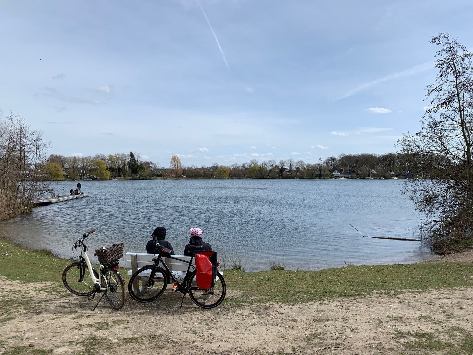
You circle the lake on paved paths starting from the boathouse at Lago Laprello. Along the way, you can relax at various rest areas and enjoy the view over the water. Various bird species can also be well...
You circle the lake on paved paths starting from the boathouse at Lago Laprello. Along the way, you can relax at various rest areas and enjoy the view over the water. Various bird species can also be well observed. You might even spot the occasional fish in the shallow shore or watch anglers at the nearby pond. Enjoy the route with its quiet sections and the beach idyll on sunny days.
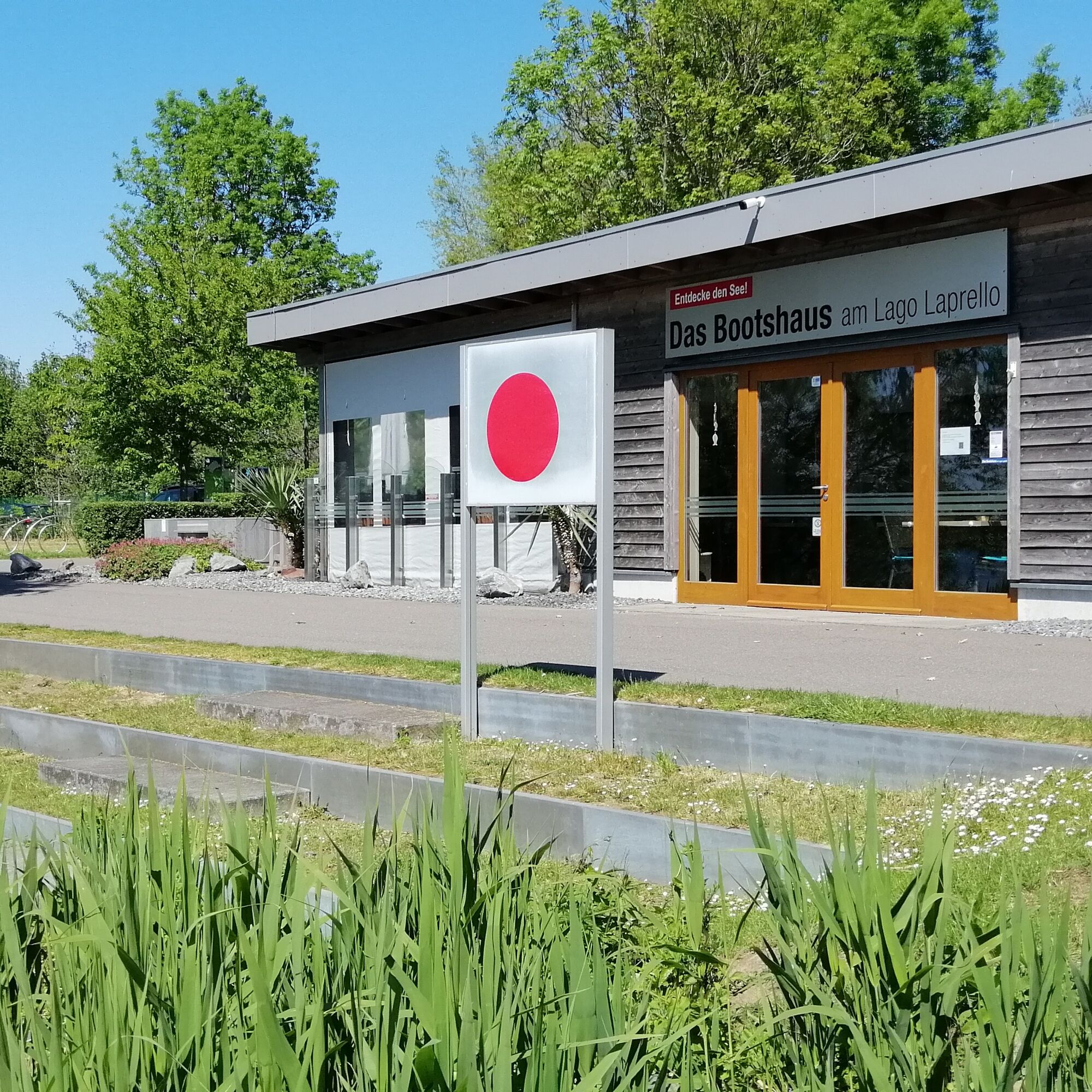
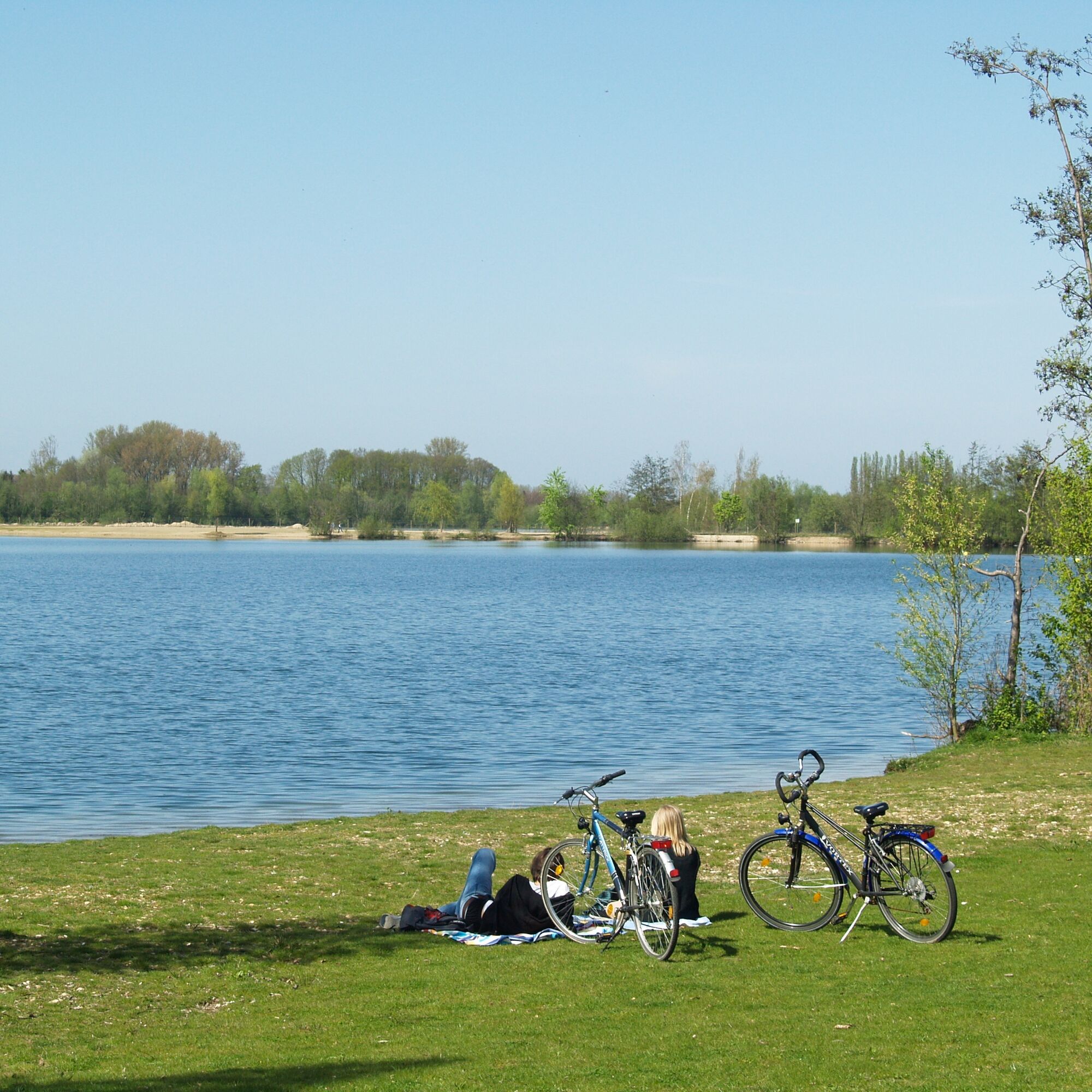
You start at the boathouse at Lago Laprello and the path leads you via Fritz-Bauer-Straße about 260 meters north. Then you turn left and use the dam between the two lakes. After about 330 meters, turn left along the western shore. Continuing along the shoreline path, take a left at Horster Weg along the shore. Soon you reach the "Seeufer" street and follow it slightly to the left to the motorhome parking area. From there, continue on small paths back to the starting point, the boathouse.
Igen
Igen
With weather-appropriate clothing, enough water, and some snacks, you are well equipped for the route.
Please observe bicycle traffic rules and be considerate of others.
By bicycle
Whether you arrive from Germany or the Netherlands, the cycling network in the Heinsberger Land is seamlessly connected to all bike networks of the neighboring regions via its junctions, so you can easily "ride in" from all directions. Supra-regional cycling networks that bring you into the region include the RurUfer-Radweg, the NiederRheinroute, and the Grünroute. If arriving by car/train/bus and bike, you will find convenient access to the route network from every station and from every tourist destination.
By car
The Heinsberger Land is accessible via the federal motorways A 52 (north), A 46 (east), and A 44 (south), as well as the Dutch A 2 motorway (west). The cities of Aachen, Cologne, Düsseldorf, Duisburg, and Mönchengladbach, as well as Maastricht and Eindhoven on the Dutch side, are all within about 60 kilometers. The main federal roads running north-south are the B 221 and B 57; east-west routes include the B 56 and the B 56n, which connects the A 46 to the Dutch A 2. A dense network of state, district, and municipal roads serves regional traffic. Pay attention to local tourist signage; it will reliably guide you to your tourist destinations.
By plane
The Heinsberger Land can be reached by car from the internationally important airports Düsseldorf International and Cologne-Bonn Airport in 45 and 60 minutes, respectively. The Airport Weeze in the northern Lower Rhine region and the Eindhoven Airport and Aachen-Maastricht Airport on the Dutch side are also approximately an hour away by car.
The Heinsberger Land is connected to the German rail network via three railway lines. The Aachen – (Heinsberg) – Düsseldorf railway line allows arrival via the stations Übach-Palenberg, Geilenkirchen, Lindern, Brachelen, Baal, and Erkelenz. From Lindern, you continue to Heinsberg (HS) via the stations HS-Randerath, HS-Horst, HS-Porselen, HS-Dremmen, HS-Oberbruch, HS-Kreishaus. The greater Wegberg area is accessible via the Dalheim – Rheydt/Mönchengladbach route (stations: Dalheim, Arsbeck, Wegberg). The Aachen – Eindhoven route also connects to the Dutch stations Roermond and Sittard.
www.bahn.de
By bus
The local bus network in the Heinsberger Land is operated by WestVerkehr GmbH and is connected to the Aachen Transport Association (AVV). AVV tariffs apply.
Further information and timetable queries: www.avv.de
A so-called MultiBus is also available throughout the district. It is an on-demand service by WestVerkehr GmbH. Passengers simply call about 60 minutes before their planned departure to receive information on when the MultiBus will pick them up at the nearest MultiBus stop (Tel.: +49 2431 886688).
More information: www.west-verkehr.de
Train & Bike
Travel by train and bike is usually easy. The Deutsche Bahn timetable indicates which trains carry bike carriages. As bike parking capacities are limited, groups should register with the railway in advance.
www.bahn.de
Bus & Bike
On the bus routes in the Heinsberger Land, bike transport is possible Monday to Friday after 7:00 p.m., Saturdays after 3:00 p.m., and all day on Sundays and public holidays. Each vehicle allows a maximum of 2 bikes.
By bus and bike through Heinsberger Land - the “Fahrradbus Region Heinsberg”
During the season, the “Fahrradbus Region Heinsberg” brings excursions with and without bikes to the respective start points of their routes on all Saturdays, Sundays, and public holidays and picks them up afterwards. While comfortably seated in a west-MultiBus, your bike is safely transported in the attached bike trailer. The buses have seating for 7 people. Up to 16 bikes can be transported in the attached bike trailer. By the way: If you arrive by train, the bike bus also picks you up directly at the stations in the Heinsberger Land. The bike buses operate between 9:00 a.m. and 8:00 p.m. and serve a variety of stops. They follow no fixed route or fixed schedule, but you can pre-order the bike bus at the MultiBus control center at your desired time and stop. For your desired date, book a seat on the west bike bus via the MultiBus hotline 02431/886688 (at least one day before the tour). Whether a cycling or hiking trip, the bike bus lets you comfortably reach the most beautiful routes in the Heinsberger Land and offers a relaxed start or finish to your tour. A fare overview and special offers for groups are available at
www.west-verkehr.de
The Selfkantbahn,
the only and last narrow-gauge steam train in North Rhine-Westphalia, is not only a popular excursion destination but also still available as a means of transport today: Passengers and their bikes are gladly taken aboard. It usually runs from Easter to the end of September on Sundays and public holidays between the Gangelt-Schierwaldenrath and Geilenkirchen-Gillrath stations.
www.selfkantbahn.de
Parking is available along Fritz-Bauer-Straße – however, these parking spaces may be fully occupied in good weather.
Additional parking – some of which may be paid – is available in the Heinsberg town center.
WFG for the Heinsberg district mbH
Heinsberger Land
Tel.: +49 2452 131415
Fax: 131419
E-Mail: info@heinsberger-land.de
Internet: www.heinsberger-land.de
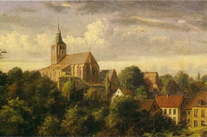
After your route, visit the worth seeing Heinsberg town center with the BEGAS HAUS - Museum for Culture and Regional History at the foot of the "Selfkantdom".
Népszerű túrák a környéken
-
4,8
Premium-Wanderweg Birgeler Urwald - Wasser.Wander.Welt.
közepesKirándulás 14,2 km -
The RurUfer cycle path in Heinsberger Land
könnyűBiciklizés 27,9 km -
Meinweg
könnyűKirándulás 16,2 km -
Bike by numbers into the Wurm and Rodebach valley (RW 114)
Biciklizés 49,1 km -
4,0
Traumweg Wildes Schaagbachtal
könnyűKirándulás 8,92 km -
5,0
Route tip 106 - 2nd Raderlebnistag Niederrhein 2025
közepesBiciklizés 45,8 km -
4,0
Routentipp 103 - 2. Raderlebnistag Niederrhein 2025
közepesBiciklizés 40,0 km -
Right and left of the Rur in Heinsberg Land - change is the only constant
közepesBiciklizés 49,2 km -
Cross-border asparagus route in Heinsberger Land
könnyűBiciklizés 35,2 km -
4,7
Premium-Wanderweg Meinvennen - Wasser.Wander.Welt.
nehézKirándulás 17,5 km
Túrázás & nyomkövetés


Ne maradjon le az ajánlatokról és az inspirációról a következő nyaralásához!
Az Ön e-mail címe hozzá lett adva a levelezőlistához.